
At the summit of Mt Elbert
Hike Dates: October 6-8, 2018
Summit Date: October 7, 2018
DAY ONE:
My trip to Colorado came about when I had a week available in October of 2018 and I decided to go somewhere. I didn’t know where yet so I looked up where I could fly direct to from Syracuse, NY (my home city). At the time there were several cities in the east that I could fly direct to but only one city west of the Mississippi River, and that was Denver, Colorado. I looked at the map and started formulating a plan. I would make a large circle route that would take me to the high points of Colorado, New Mexico, Oklahoma, Kansas, and Nebraska, five state tri-point markers, and two national parks: Black Canyon of the Gunnison and Great Sand Dunes.

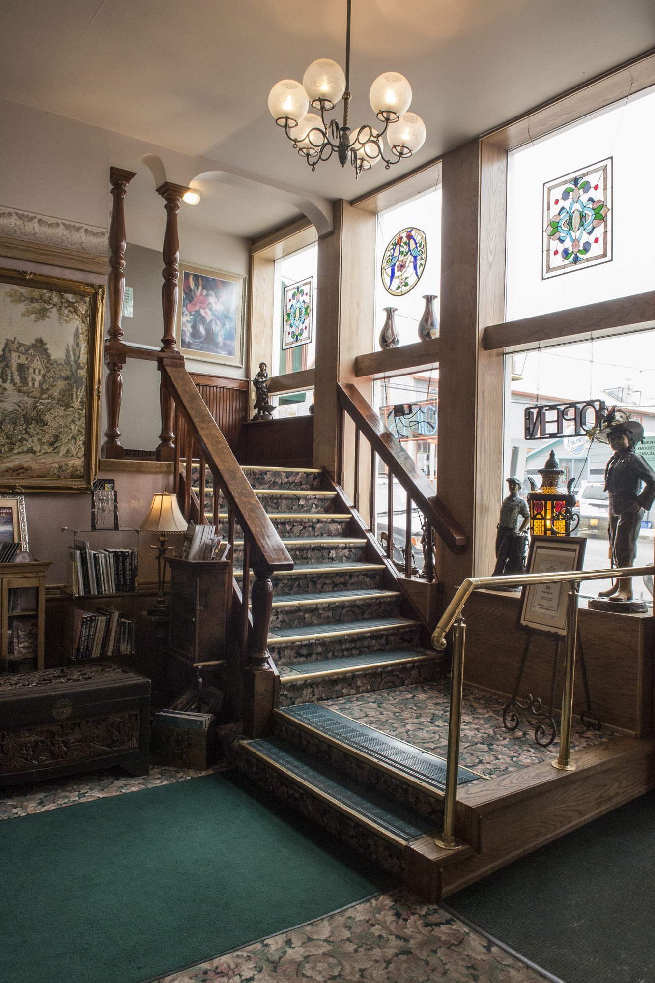
Lobby of the Delaware Hotel
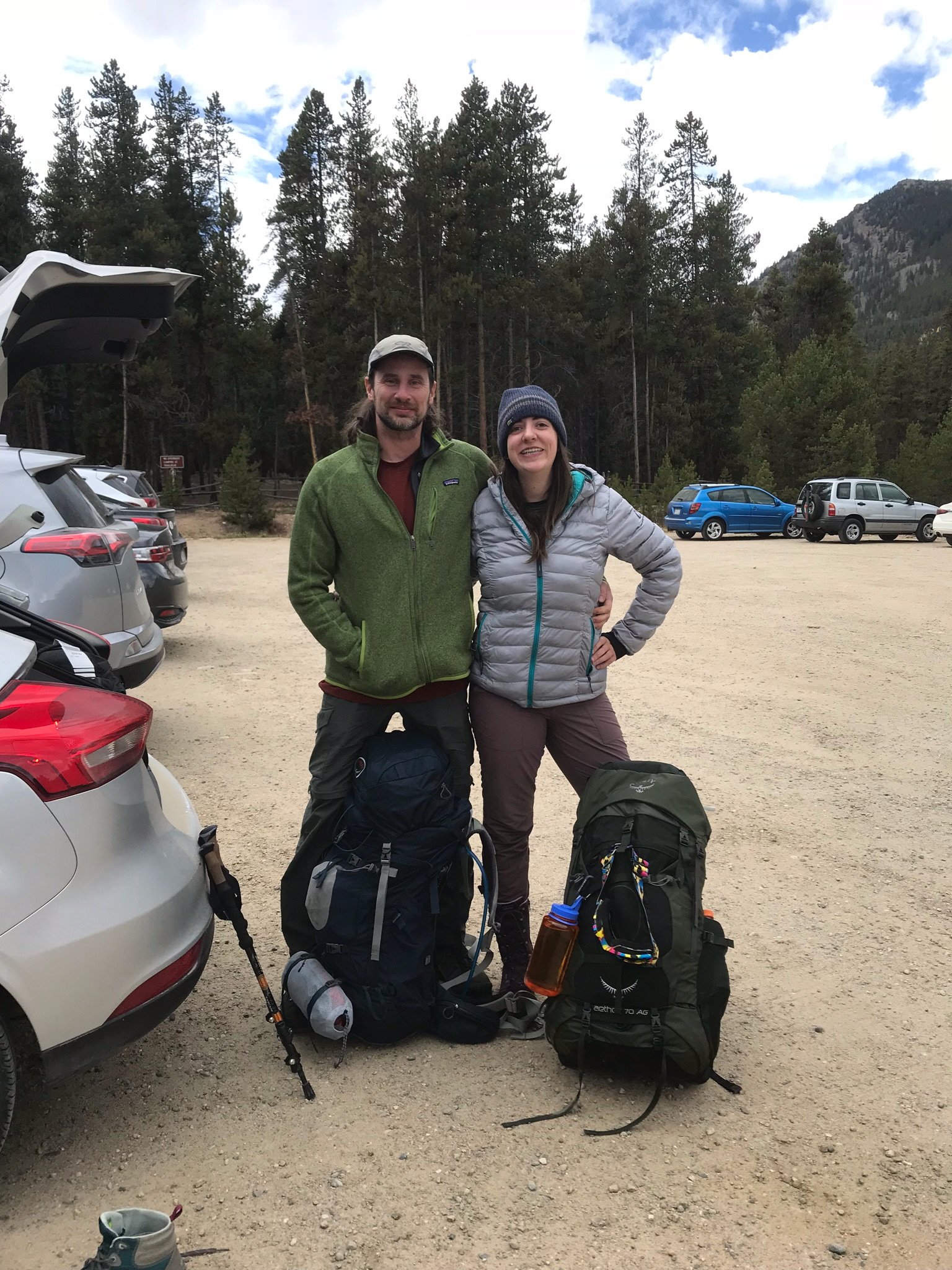
As this would be in October I wanted to get a feel for what the conditions would be like on the Colorado and New Mexico high points, since they are true mountains and this would be potential winter conditions. So I got on the Facebook group for highpointers and asked for advice. Soon after I got a message from somebody in the group asking if they could join my excursion. It was Gwynn, a girl that I had met at the highpoint convention earlier in the year. We had talked a little but had never adventured together. She would be driving cross-country with her boyfriend and was going to be in that area around the same time. So I would be making the itinerary for the week and she would pick me up at the Denver airport with a rental car that she attained after being dropped off by her boyfriend (he was continuing on to the San Francisco area).
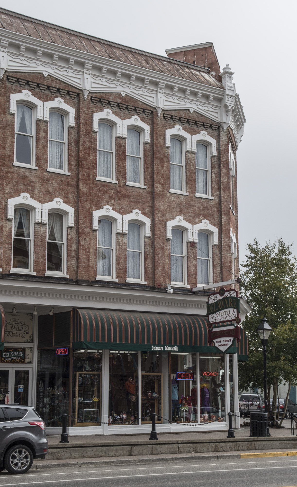
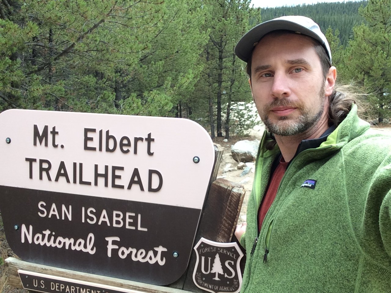
The time came for the trip and Gwynn picked me up at the Denver airport right on schedule and we headed to our first destination for the week: Leadville, Colorado. At 10,000 feet, Leadville is one of the highest towns in America, and acts as the gateway town for those heading to Mount Elbert, the highest point in Colorado.
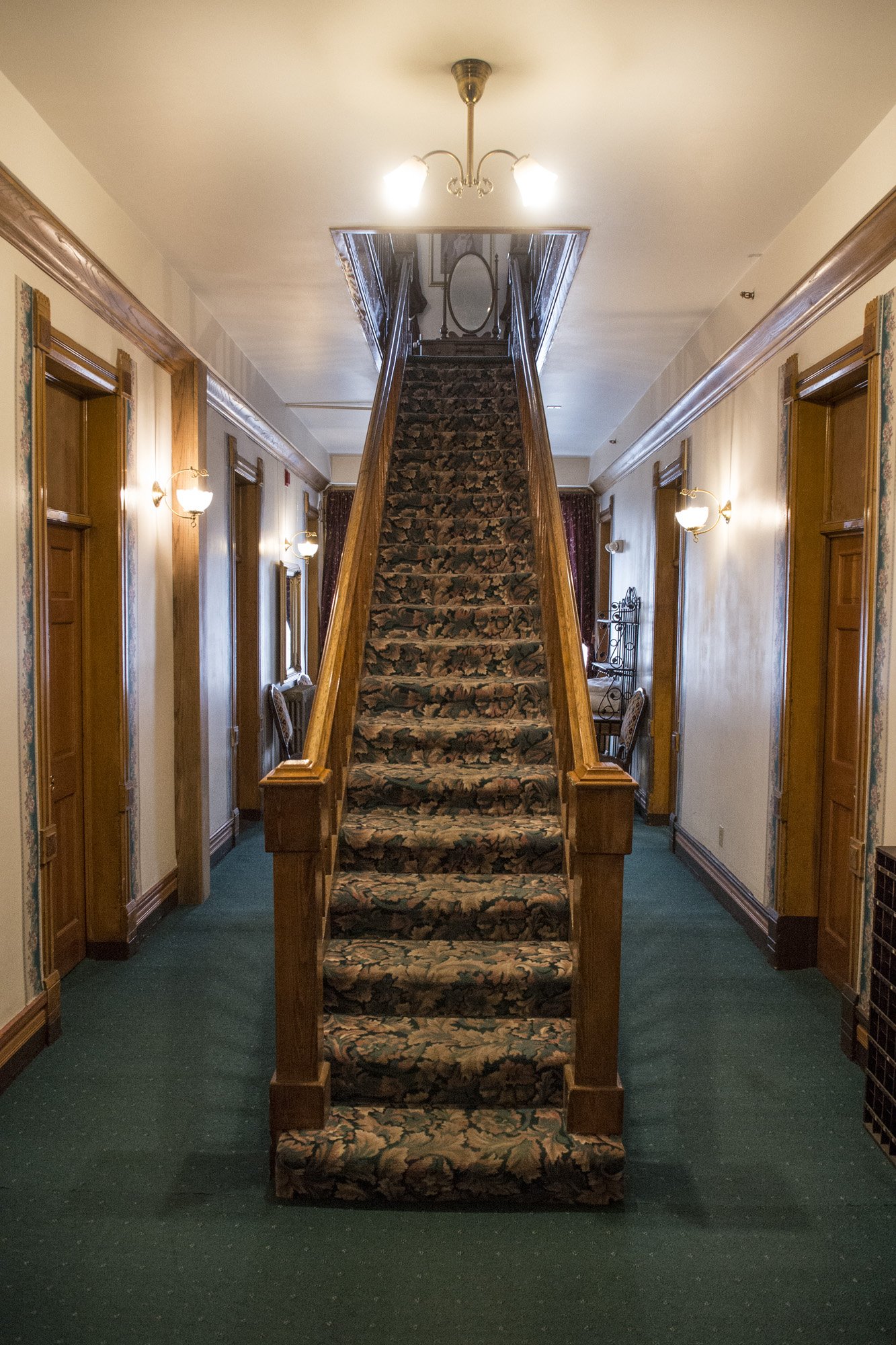
After missing our exit and adding a chunk of time we finally arrived at the historic Delaware Hotel in Leadville. It was late and we were both starving but of course everything was closed. Thankfully, the clerk on duty was nice enough to let us grab a few things from the continental breakfast bar that was set up for the next morning. We took our stuff up to our room and organized our backpacks to get them ready for the next day. After a long day of travel, we finally crashed for the night.
DAY TWO:

Mount Elbert from just outside Leadville. The small clearing we would be camping at can be seen just below treeline near the middle of the picture.

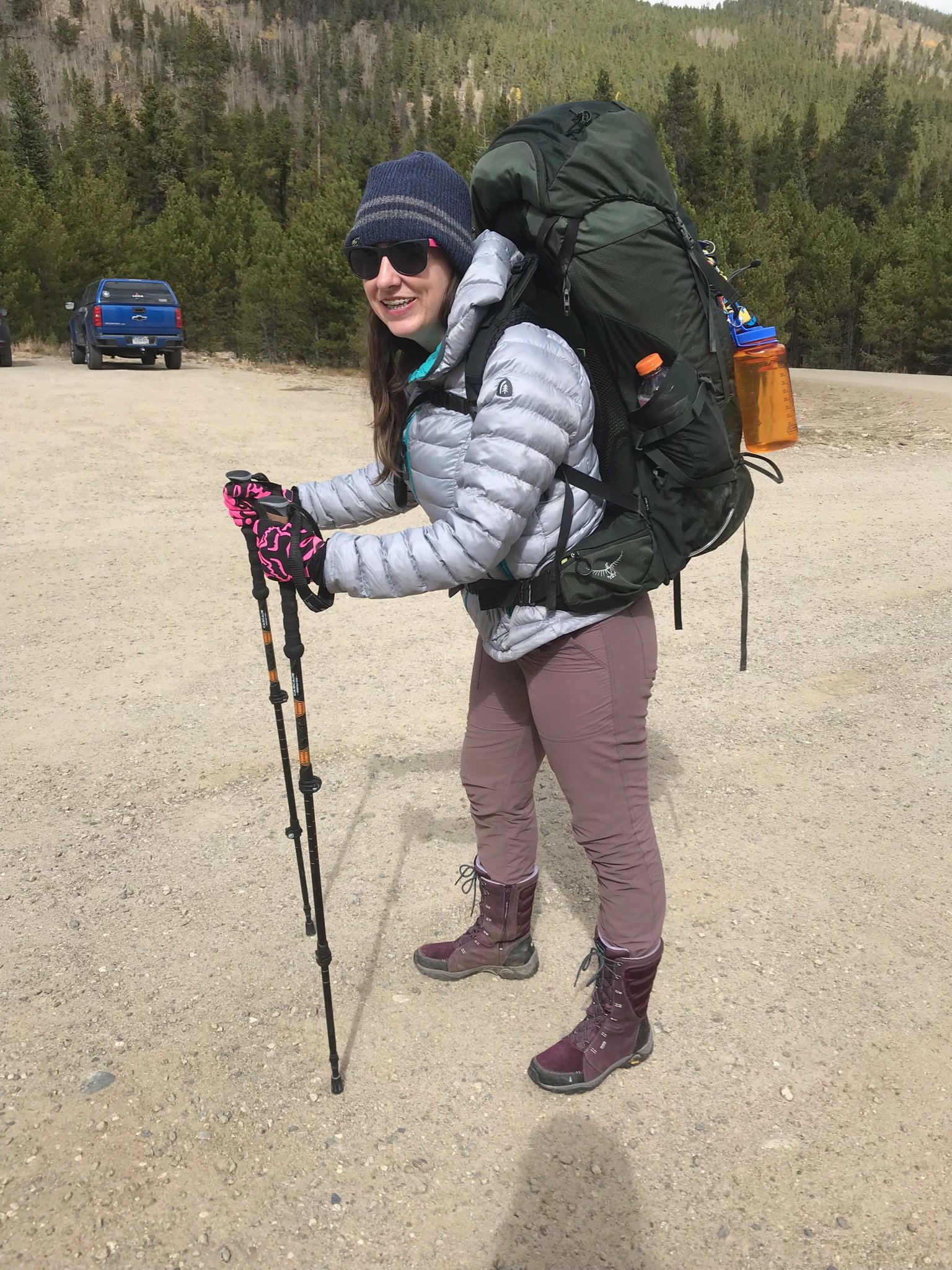
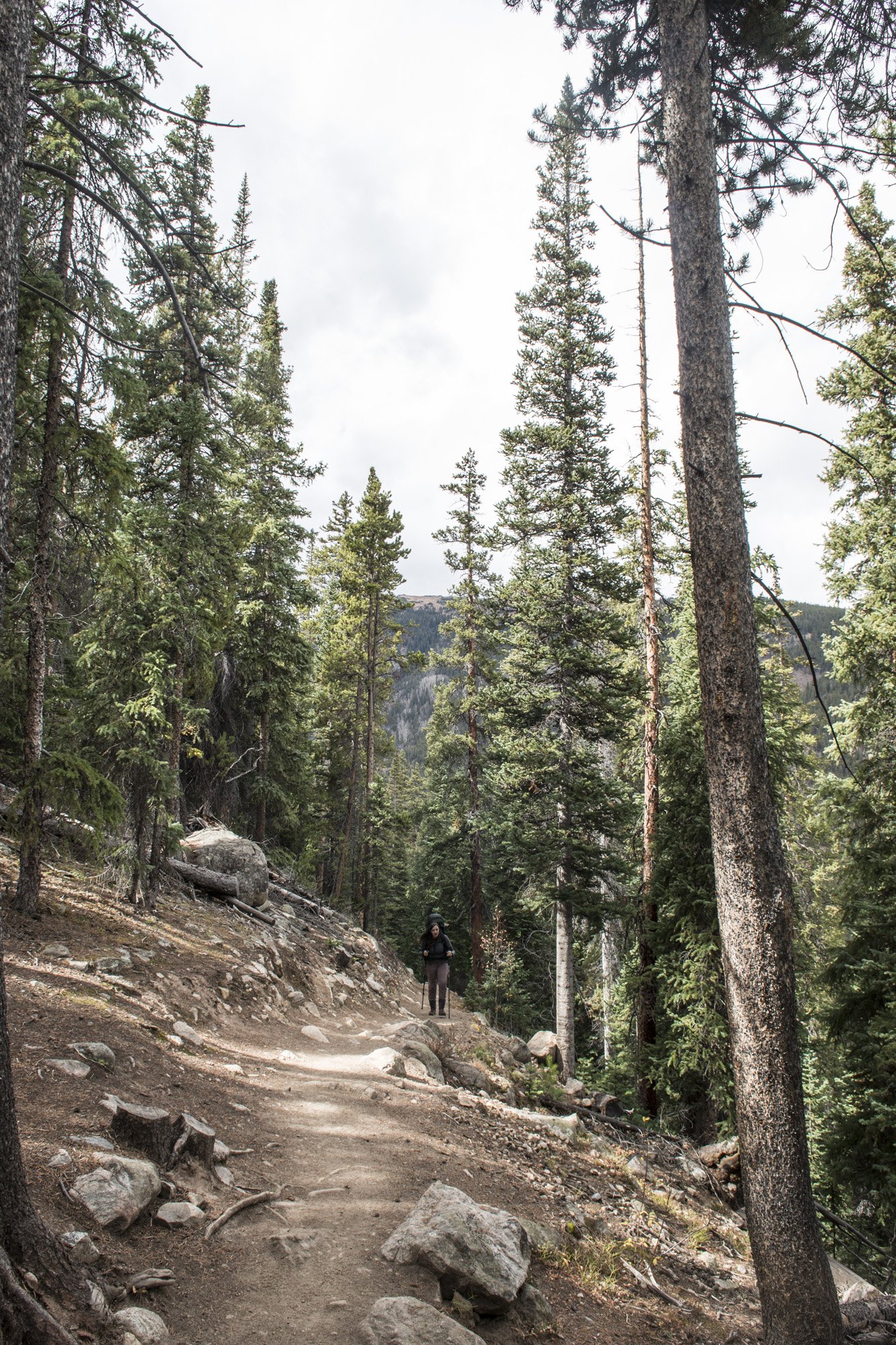
Gwynn on the trail up to our campsite.
The next morning we checked out of the Delaware and stopped at the Golden Burro, a well-known local restaurant that serves amazing breakfasts. We had our fill of breakfast burritos and headed for the Mount Elbert trailhead. Our plan was to hike up just below the tree line and spend the night, then hike to the summit the following morning,and hike out later that day. My hope was that spending a night in Leadville at 10,000 feet and then another night at treeline on Mount Elbert at 11,500 feet would allow me to acclimate enough to handle the summit at 14,500 feet. Well, that was the plan anyway.
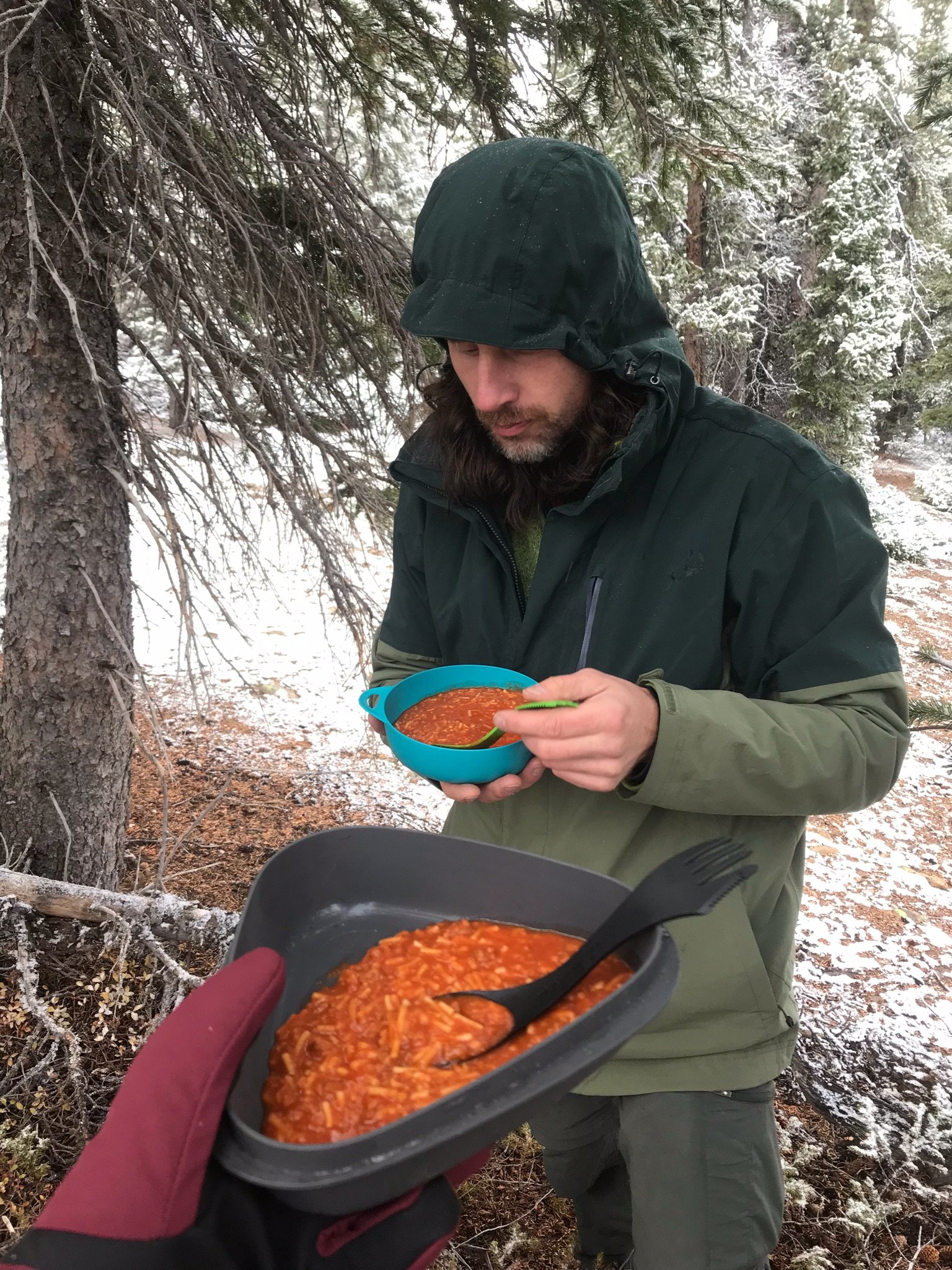
We parked the car at the trailhead, donned our packs, and headed up the mountain. None of the trails on Elbert are technical, it’s a pretty straightforward hike to the summit. And the bottom section was going through woods. It was a well worn path and easy to follow, with only a few sketchy sections due to it being snowy, wet, and slick. Eventually we got to a clearing in the woods that I had seen on Google Maps that was just below the tree line and this would be our campsite for the night. So we set up the tent and made dinner, which consisted of surprisingly tasty freeze dried spaghetti. We settled in for the night so that we could get an early start the next morning.
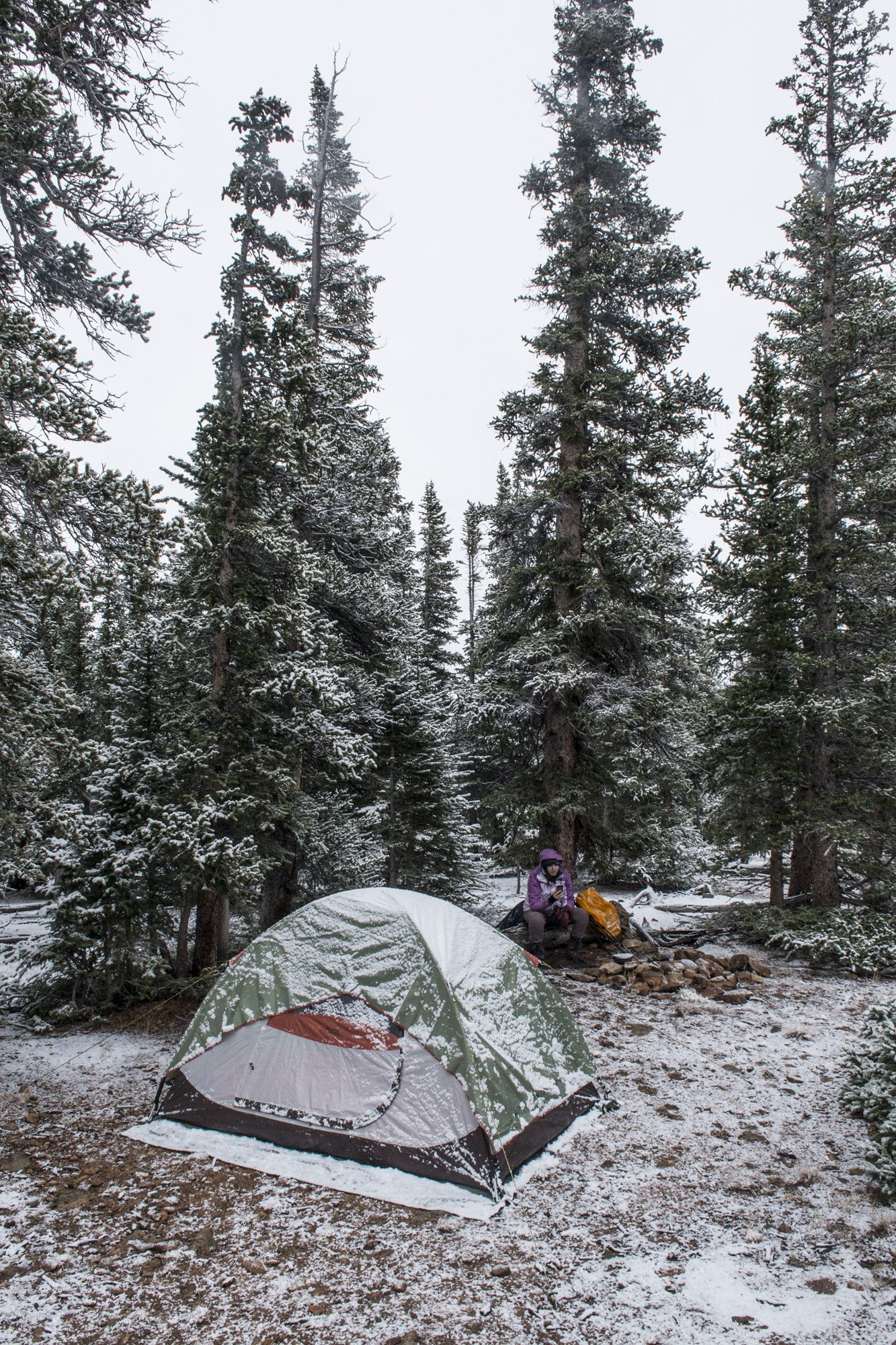
Our Campsite after a light dusting of snow.
DAY TWO PHOTO GALLERY:


DAY THREE:
After an OK night’s sleep, morning came too early. Our goal was to leave by two or 3 o’clock in the morning in the hopes of being off the mountain before the afternoon. So it was still dark out and would be for a few more hours. It was cold but there was only a thin layer of snow on the ground. Hiking should be fairly easy. So we made some breakfast (bagel with peanut butter and cold oatmeal), put on our packs with our supplies for the day and headed off into the waning night.
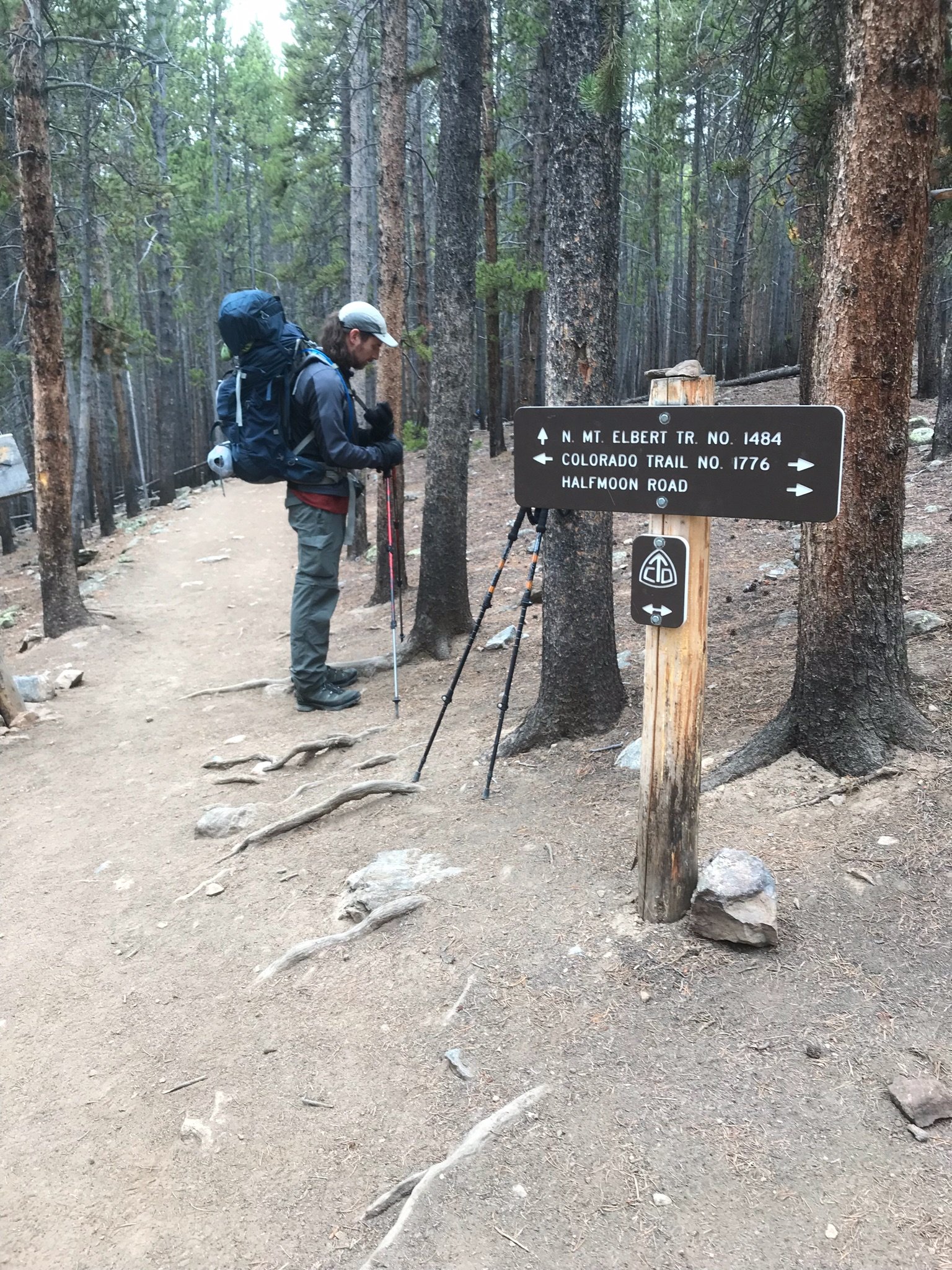
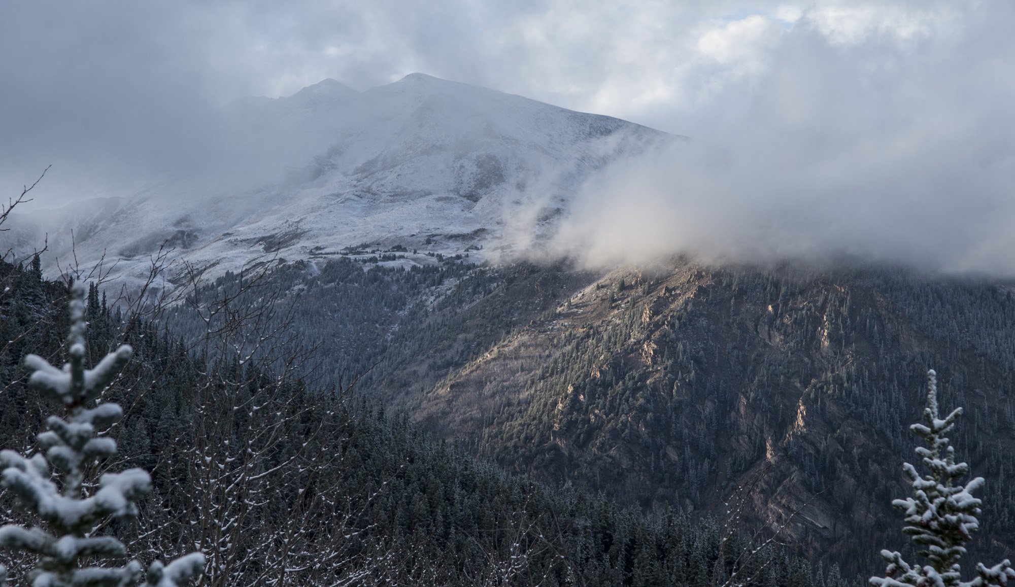
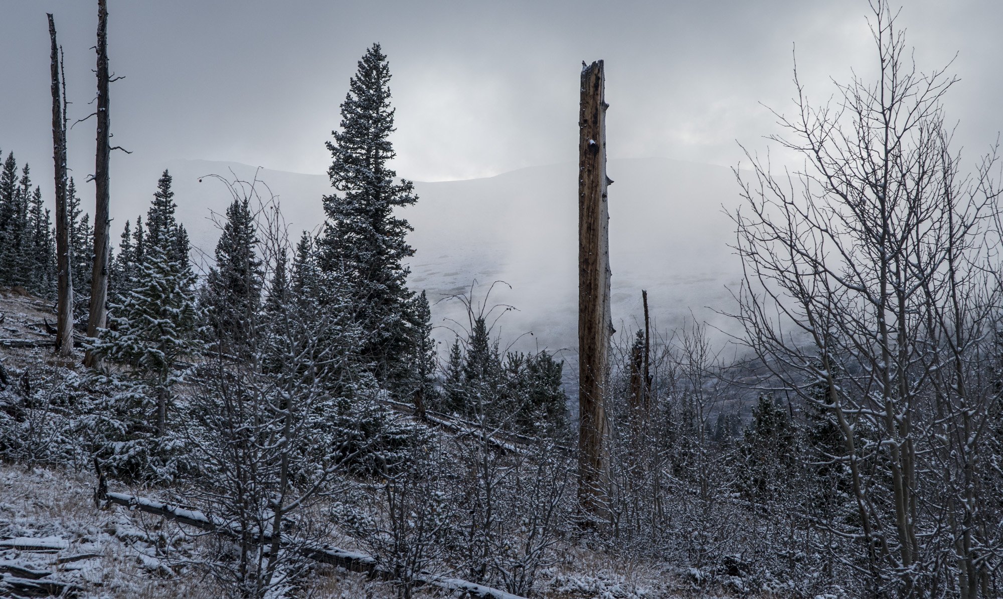
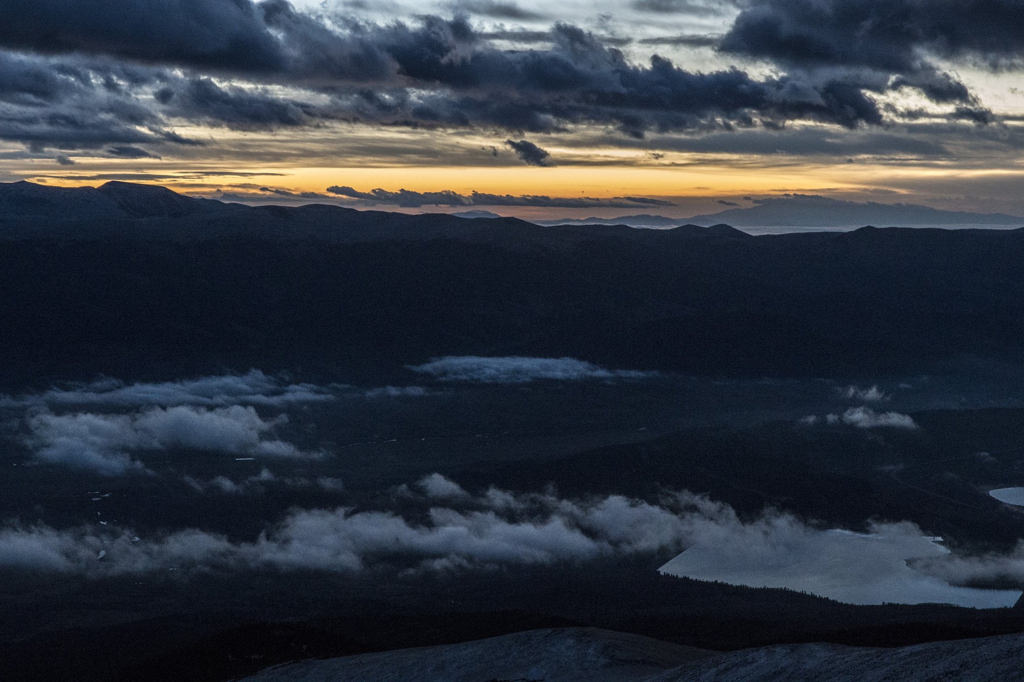
Before long we reached the tree line and left the shelter of the forest behind us. From here on out there would be no way to get out of the wind and cold. And we still had about 3000 feet of elevation gain before getting to the summit. The trail was rocky but easy to follow, which was nice since the rest of the mountain was covered in the scree and talus which is always a pain to hike over. After a while it started to lighten up as dawn approached and I was able to turn my headlamp off. By the time the sun broke the horizon we were well above tree line and the views to the east were simply spectacular.

Sunrise from the slopes of Mount Elbert.

Gwynn traversing the slopes of Mount Elbert.
After a while we somehow lost the trail. It was on a particularly rocky section of the slope. We weren’t that far off. I took my phone out to check the GPS and we were maybe a couple dozen yards to the left of the trail. But it was kind of steep and there were a few sketchy sections. It was here that Gwynn decided to turn around. She wasn’t feeling super confident and made the call to go back to our base camp. I decided to keep going, but in hindsight maybe I should’ve gone back with her.
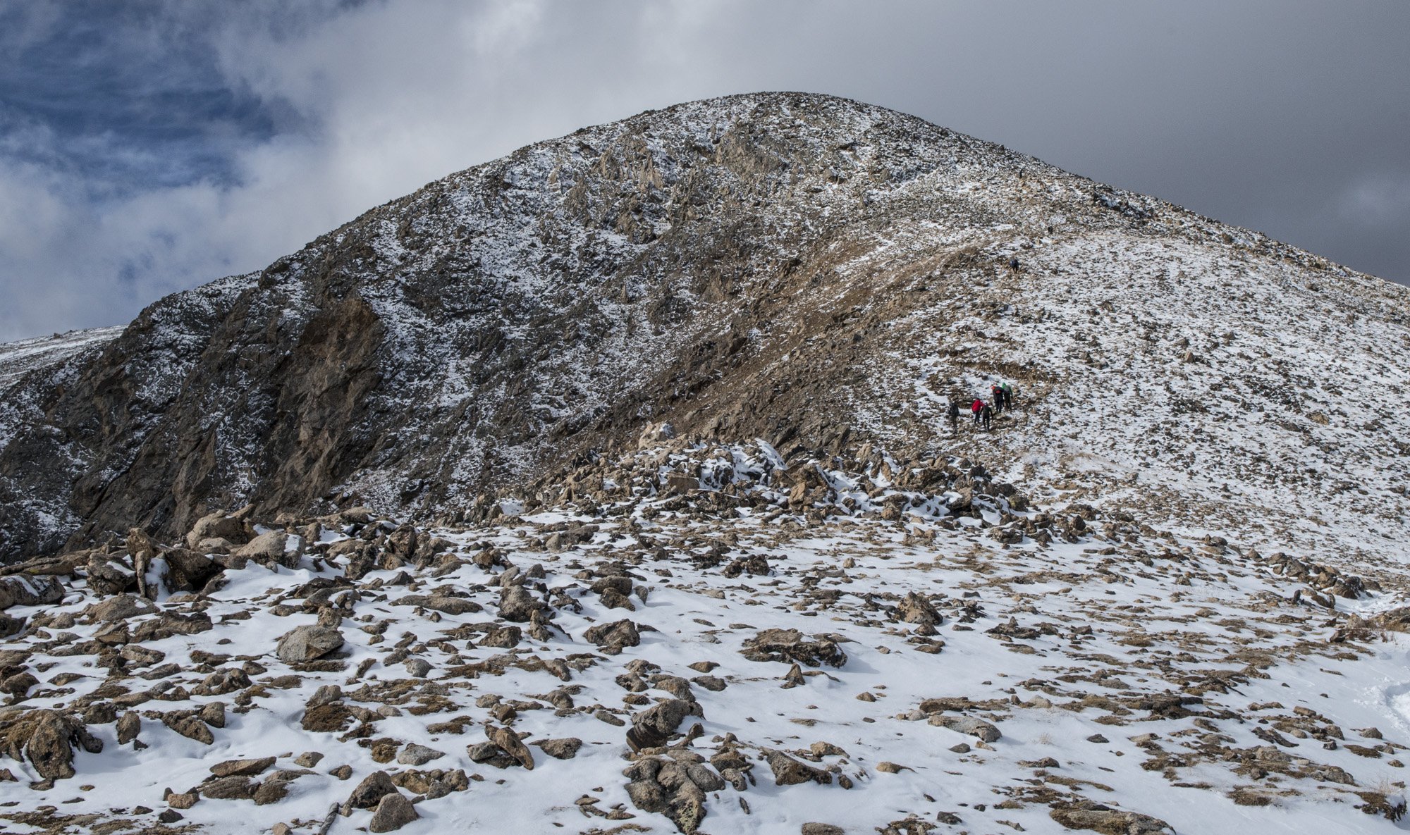
So I trudged up the trail. Mount Elbert is known for, or should I say notorious for, its false summits. There’s probably about four or five of them. This is probably the worst part of mountain hiking because you get filled with hope that you’re almost at the top only to find out that you’re not even close. But I kept on. One foot in front of the other, false summit after false summit. Eventually I started nearing the true summit, and with maybe 100 vertical feet left to go (after a 3000 foot ascent from basecamp) is when I felt it.

One of the false summits on the way up Mount Elbert.
My stomach did a slight rumble. A very subtle but definitely nauseous feeling. It only lasted a second and went away immediately, so I didn’t think much of it and carried on. Had I felt that when I was at basecamp or at the trail head maybe I would have reconsidered the hike. But within a few minutes I was finally rounding the true summit and I could see the top. So I took the last few steps and claimed my 32nd highpoint. I was feeling good at this point so I hung out for a few minutes, took my obligatory selfie, and the pictures I needed to make the 360° panorama for my photo series. I didn’t stay too long since there was a strong wind and it was very cold.

360 panorama from the summit of Mount Elbert.
I got myself together and started heading down the mountain. It wasn’t too long before that feeling kicked in again in my stomach. The feeling kept getting worse and worse. I was getting very uncomfortable and I finally stopped on the trail. I just leaned off to the side leaning on my trek poles. Soon enough I was throwing up. I had elevation sickness. Son of a bitch.
I had been hoping that the night in Leadville and the night at tree line would be enough for me to acclimatize to the elevation. I was wrong. After I was done throwing up I got back on the trail and continued heading down. There’s really only one way to get rid of elevation sickness once you have it, and that’s to come back down. After about an hour the feeling was coming back again, so I stopped again and threw up again. But since I had gotten rid of most everything on the first go around, it was mostly just dry heaving. This continued two more times. It took me four hours to get back to basecamp and I stopped once every hour to throw up. I would stop once in a while to take a breather. I really just wanted to lay down and take a nap. But I had to keep going. The only thing that was going to help was to go back down. I felt absolutely miserable.

View from near the summit of Mount Elbert.
Eventually I made it back to the tree line and I soon ran into a group of four young women that were headed up. They stopped to ask me how the hike was. I wasn’t sure how I looked, but I was trying to act like I didn’t feel like a pile of dog poop. They didn’t seem like they were dressed for what was ahead of them so I gave them a warning about how windy and cold it was. I discovered one of them was from the Syracuse area and so I pulled out my SU water bottle. Go Orange!
I continued on a short way and reached the clearing where our tent was. It was such a relief to see it. I finally made it back to the camp and sat down on a log just outside the tent. Gwynn had made it back a couple hours before I did. She said I didn’t look well, apparently I was some shade of green. I told her how I made the summit but that I was paying for it now.
It was hard to get up off the log since I was enjoying the pure ecstasy of not having to hike anymore. But I mustered some strength and got up. I stowed my pack outside, went to the bathroom, and crawled into the tent. I got into my sleeping bag and proceeded to not move the rest of the day. Ideally we should’ve packed up camp and hiked out so I could get back down to 10,000 feet. But I just didn’t have any gas left. I was done for the day. Although I was done throwing up for the day, I also had zero appetite and felt like I couldn’t keep anything down. I tried a few bits of trail mix and a few sips of electrolytes but that was it. Luckily I felt warm enough in my 20° bag and a few base layers. Meanwhile, Gwynn was basically wearing every layer she had inside of her 0° bag.
So the rest of the day was completely uneventful. I just laid there in my sleeping bag hoping my symptoms would pass and I would start to feel better. Gwynn and I passed the time talking and telling stories. Eventually night came and I got an OK night‘s sleep.
DAY THREE PHOTO GALLERY:
DAY FOUR:

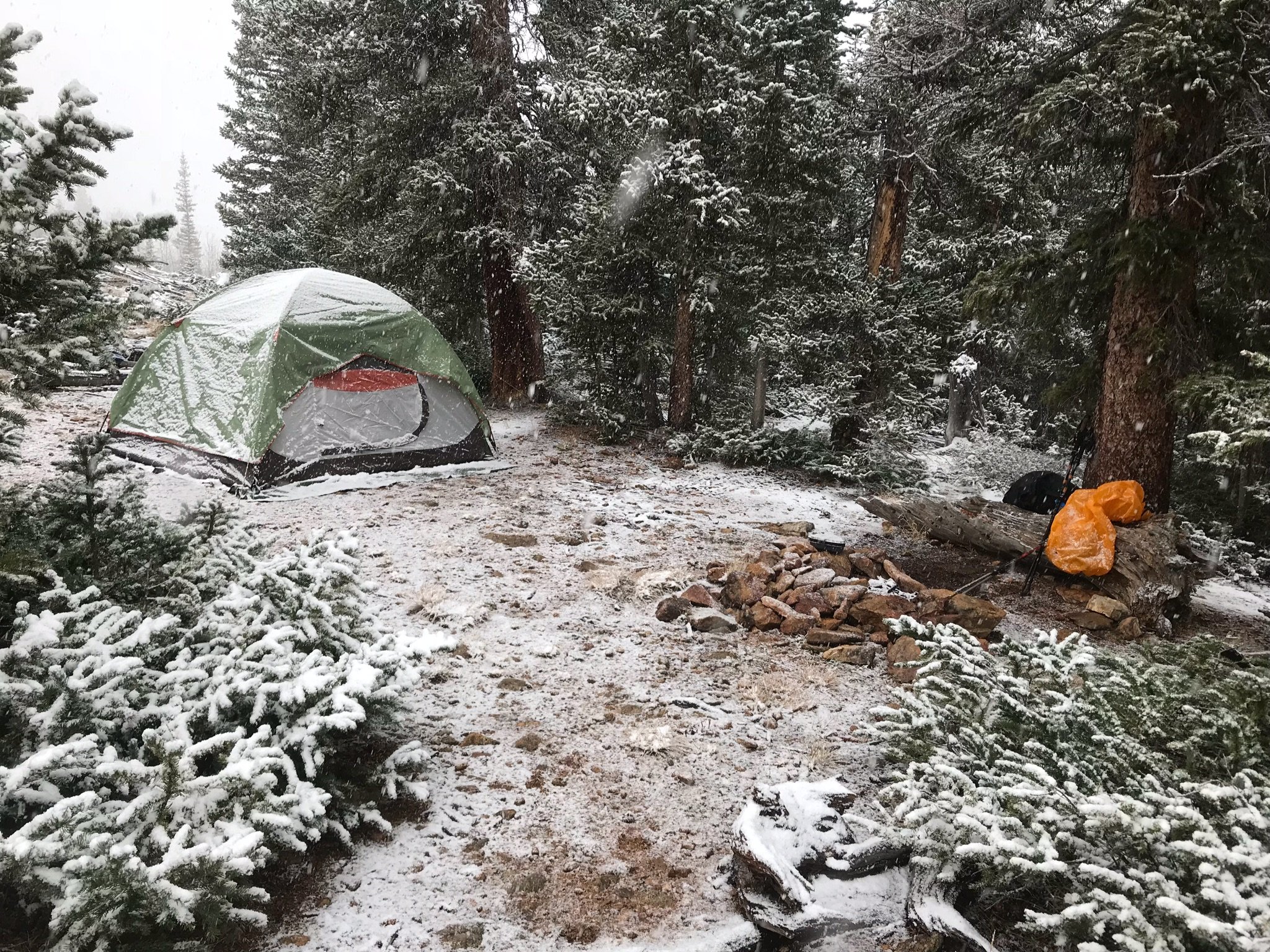
New snowfall at our campsite on our last morning.
The morning came and I felt much better. As I woke up and started looking around I noticed a shadow running the full length of the tent about 6 inches up from the bottom that wasn’t there the day before, and the tent wall was pushing in just a little bit. I unzipped the door on my side of the tent to investigate. Sure enough, it had snowed 6 inches overnight. So what had been just a dusting of snow the day before now had some actual depth. It was actually quite beautiful outside as all the trees around us had a thick layer of snow on their branches. In the spirit of the moment I started singing “CAMPING IN A WINTER WONDERLAND!!” in the most joyous voice I could muster. Gwynn was not amused. In a creepily calm voice she responded, “I have so much anger inside me right now”.

Getting ready to head back to civilization.
Had we hiked out the day before as planned we wouldn’t have had the snow to deal with, but now we have 6 inches of fresh powder to hike through. It wasn’t bad though. I’m from Upstate New York and Gwynn is from Vermont so it’s not like we haven’t seen snow before. I had a little bit of breakfast since I was actually feeling hungry for the first time in 24 hours. Then we packed up camp and started to hike out to the trail head.
The snow wasn’t quite as deep in the woods as it was in our little clearing. Plus it just felt good to hike feeling like a normal human. I was pretty miserable on that hike down from the summit the day before. So we carried on, and before long we were back at the trailhead. We loaded up the car and headed back into town. We wanted to get something to eat before heading to our next destination, so we went back to the Golden Burro. It was safe to say that my appetite had been fully restored as I practically inhaled my burrito. And with that, my first adventure with my new friend was in the books.

View from near the trail head.
Other posts in this series:
Great Sand Dunes National Park, Colorado. An Alien Planet In The Middle Of America.
Gateway Arch National Park, Missouri. Super sketchy, But I Did It.
Dry Tortugas National Park, Florida. Best Birthday Ever.
Theodore Roosevelt National Park, North Dakota. Stuck In A Dangerous Situation.
Great Basin National Park, Nevada. An Unexpected Journey.
White Butte, Highpoint of North Dakota. Really? More Goats?
Mount Katahdin, Highpoint of Maine. If At First you Don't Succeed...
Hawkeye Point, Highpoint of Iowa. So... Much... Corn...
Granite Peak, Highpoint of Montana. I Have Seen The Top Of The Mountain, And It Is Good.
Mount Borah, Highpoint of Idaho. The Great American Eclipse Of 2017.
Tri-Point Of Iowa, Nebraska, And South Dakota. Hot. Damn Hot. Real Hot.
Sassafras Mountain, Highpoint of South Carolina. Please excuse our mess.
Ebright Azimuth, Highpoint of Delaware. Rock bands and space shuttles.
Charles Mound, Highpoint of Illinois. A farmland stroll.
Tri-point of NC, TN, and VA. My car meets its match.
Mount Rogers, Highpoint of Virginia. OH MY GOD!!! LOOK AT ALL THE FUZZY PONIES!!!
Guadalupe Peak, Highpoint of Texas. Birth of an obsession. And big freaking bugs.