
Gwynn and I on the summit of Wheeler Peak
Summit Date: October 11, 2018
DAY ONE:

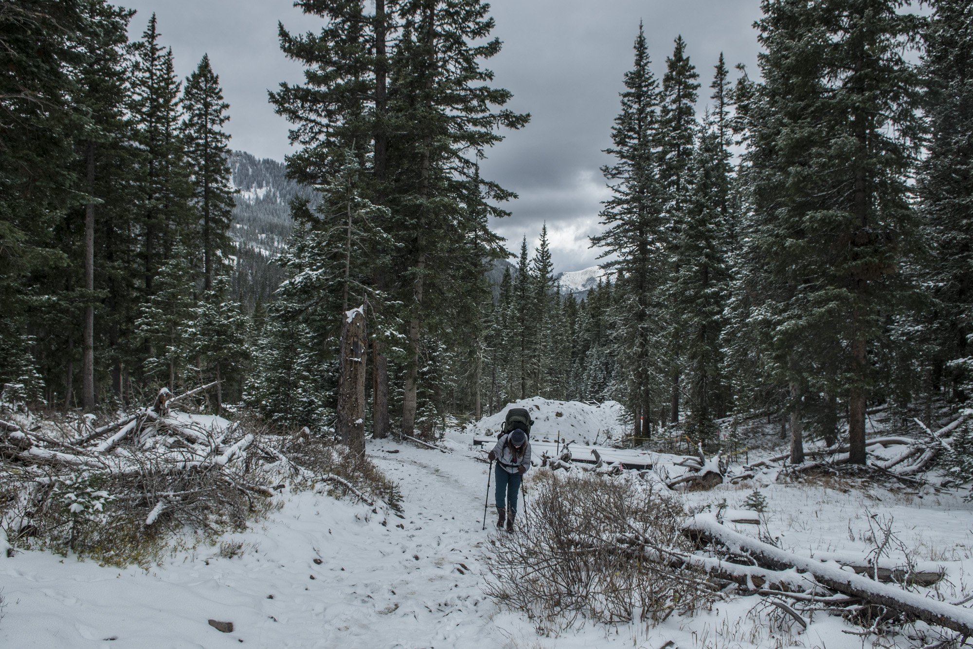
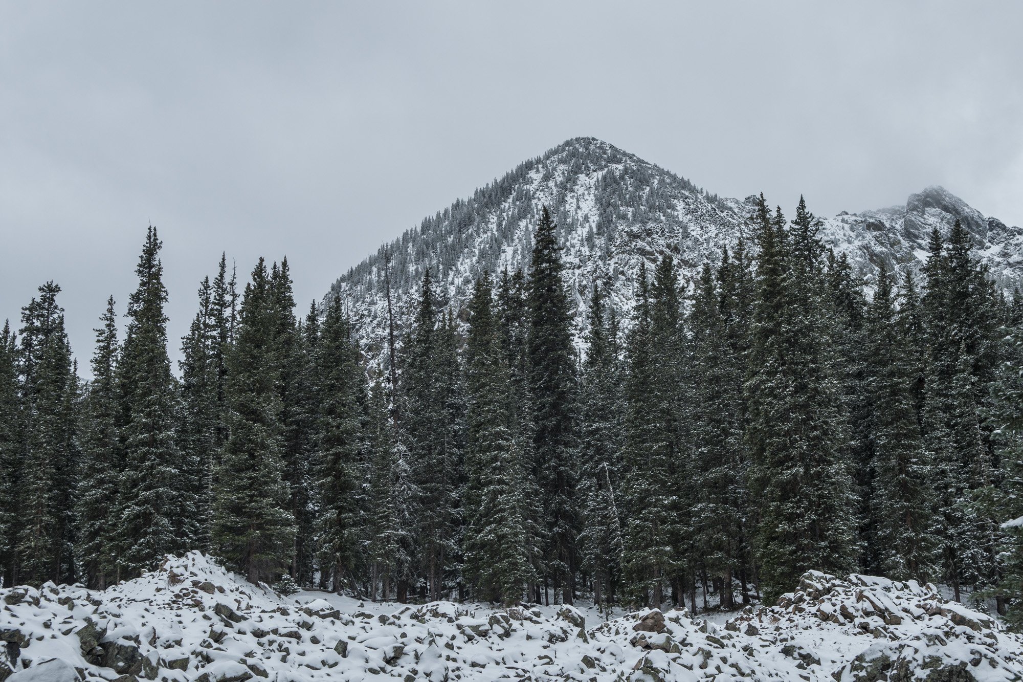
The trail from Taos Ski Valley to Williams Lake.
After Mount Elbert, Black Canyon of the Gunnison National Park, and Great Sand Dunes National Park, my week-long trip with my new friend Gwynn continued. Our next destination was Wheeler Peak. At 13,167 feet it is the highest summit in the state of New Mexico.
So we made our way down from Great Sand Dunes toward Taos, New Mexico, getting there in the afternoon. The trail head for Wheeler Peak is in the high-end resort area of Taos Ski Valley. The season had not started yet so there weren't any skiers, just workers getting everything ready for the season. Despite being called a valley there was actually a lot of uphill mountain driving, some of which was a little sketchy. We drove past numerous resorts, hotels, and businesses catering to the ski crowd. Eventually we got to the top of the road which is where the trail head for Williams Lake was located.
The plan was to hike up to Williams Lake for the night, get an alpine start for Wheeler Peak, and hike out from there. After my adventure at Mount Elbert I had my fingers crossed that I wouldn’t get sick on this hike. Wheeler Peak was almost 1,500 feet shorter than Elbert and we’d been in the area for the better part of a week at that point so I was probably safe. We got our stuff together from the car and hit the trail.

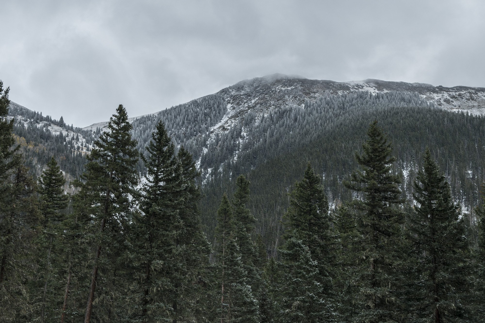
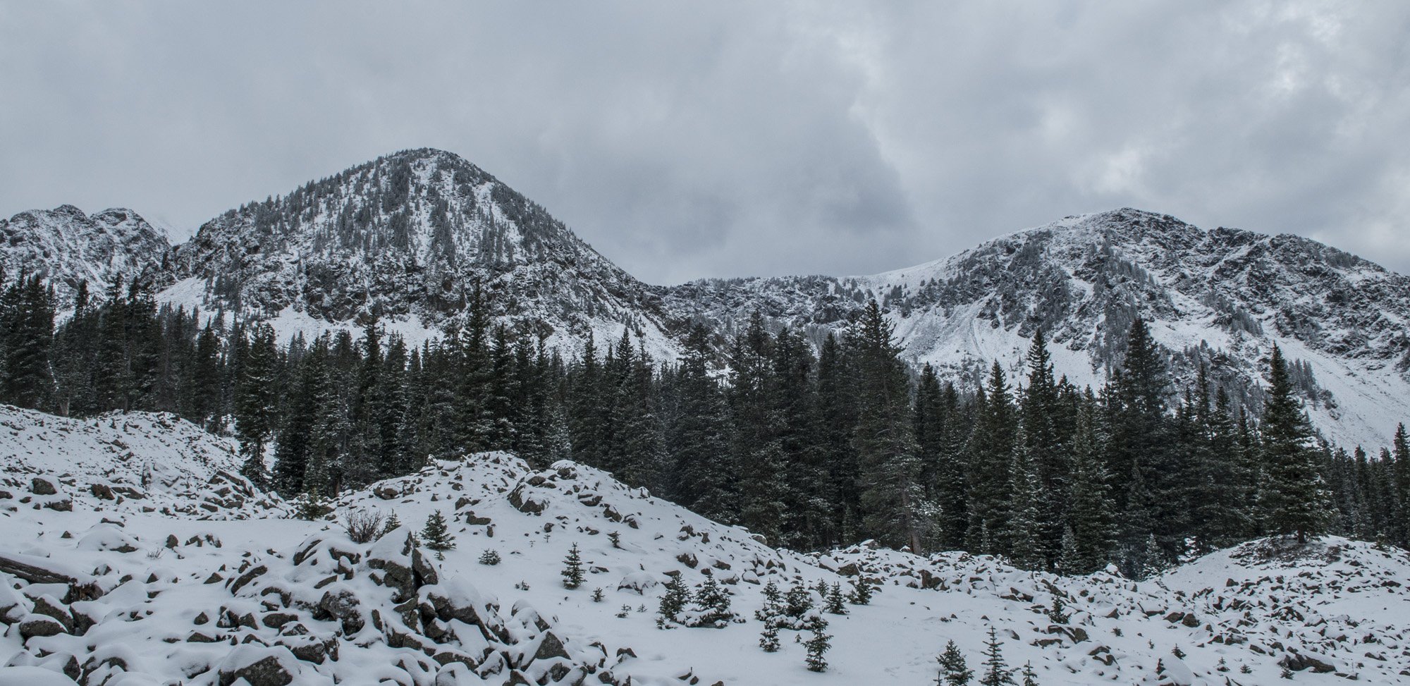
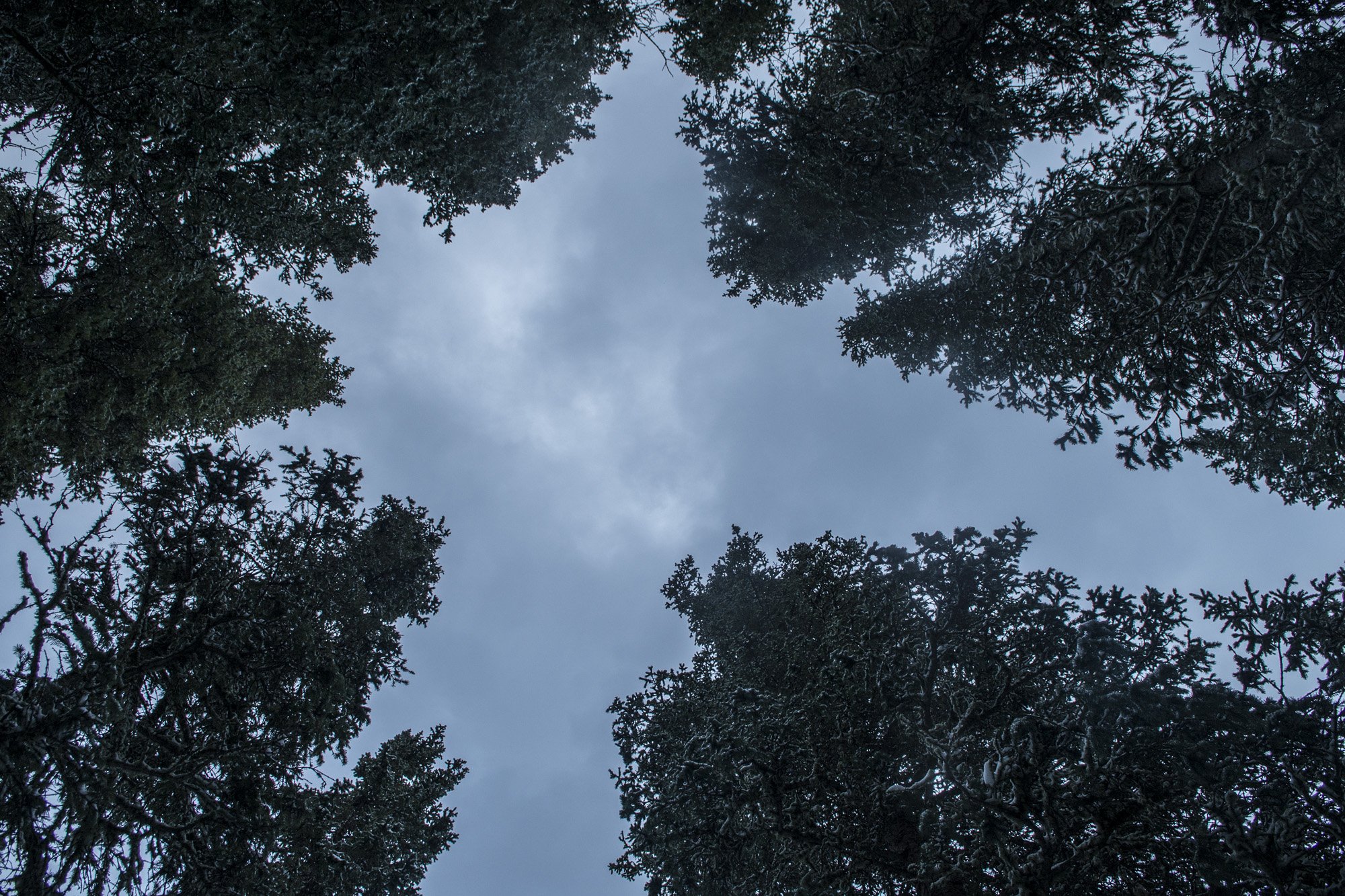
The mountains surrounding our tent.
The hike from the trail head to Williams Lake was easy going; it didn't take very long. It was mostly through woods and the first part of it we were passing various structures related to the Ski Valley. Just before reaching Williams Lake we passed the side trail that would lead to Wheeler Peak in the morning. We took note of it and continued the short distance to where we would camp for the night. There really weren't any designated campsites so we just picked a spot that looked fairly flat. There was a layer of snow on the ground and we just set the tent up over that. The ground was not suitable for using stakes but there were a lot of rocks around so I used those to tie the tent down instead.
After we made camp we ventured around a little bit. Williams Lake was more of a pond really. It’s only about 100 yards across, but it was almost completely surrounded by the mountains. It was quite a beautiful scene with the snow covered trees and mountains.

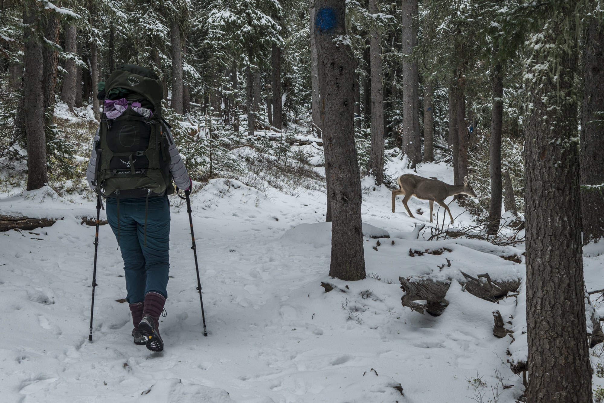
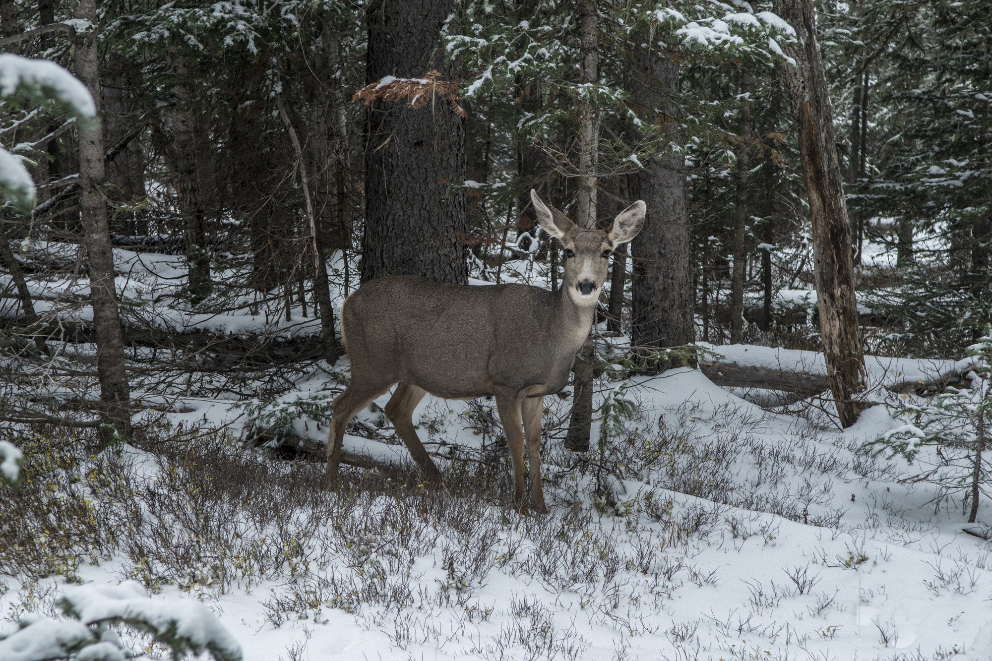
Gwynn with some of the local wildlife.
After dinner we climbed into the tent and hunkered down for the night. Despite being nestled amongst some trees in the valley it was still fairly windy, so the tent was flapping all night. It wasn’t as bad as Great Sand Dunes but still enough to keep it from being a restful night’s sleep. In addition to the wind, I discovered that pitching a tent on a layer of snow is not the best idea. Even with my 20° bag and a 3 inch inflatable pad I found myself becoming chilled in the middle of the night. So I took my light puffy coat and laid it on my inflatable pad under the sleeping bag. That seemed to do the trick as I was able to stay fairly warm the rest of the night.
DAY ONE PHOTO GALLERY:
DAY TWO:
Just like on Mount Elbert we got up when it was still dark out to get an alpine start for the summit. After a breakfast of bagels with peanut butter and oatmeal we hit the trail. Also just like on Mount Elbert the first part of the hike was through the woods up to the tree line. After that the view really opened up to the surrounding mountains, or at least the bottom portions of them as it was snowing and some of the summits were obscured by clouds. I believe normally you could see almost to the summit of Wheeler Peak as there are no real false summits to speak of. As we ascended higher we started hitting pockets of deep snow, often postholing up to our knees. If it had been consistently deep then it would’ve been much easier to do it in snowshoes, but it was only in sections where the snow had drifted across the trail. As much as I could, I tried to plow my way through the snow instead of just postholing. I figured it would make the descent a little easier if I broke the snow drifts up first.

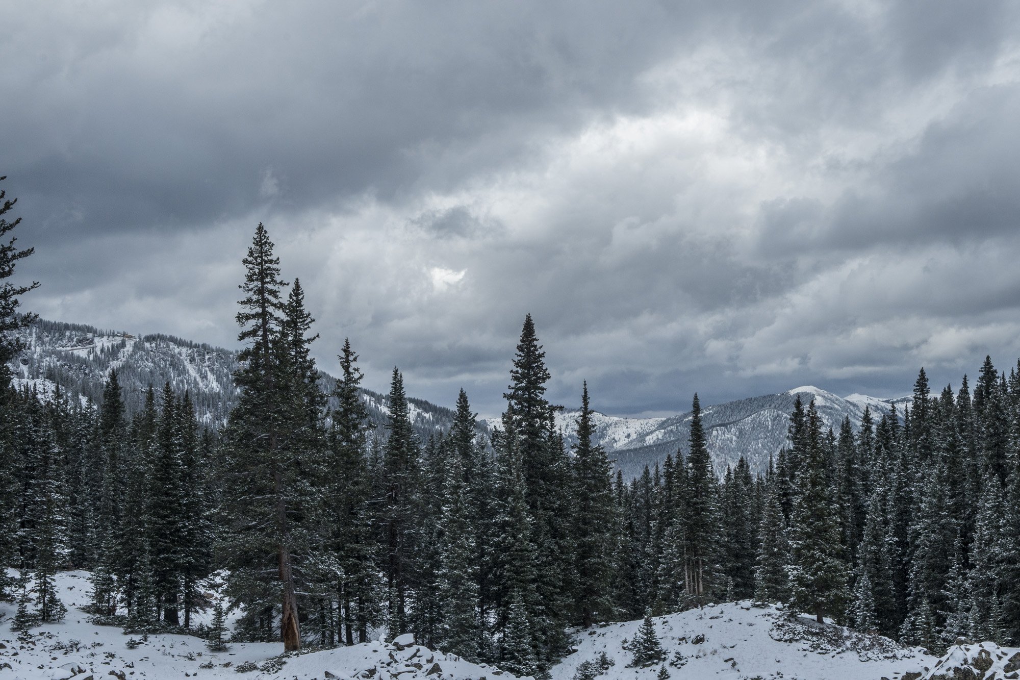
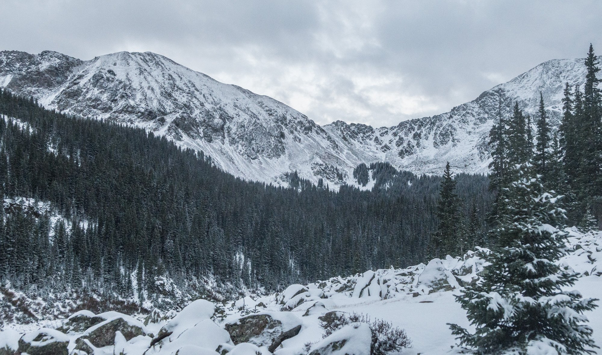
The surrounding mountains from above treeline.
The trail up from Williams Lake is fairly new. Those that have done it in the past say how the trail used to basically go straight up the mountain. Now, however, there is a section of around a dozen switchbacks that zigzag up the west slope. I know some people don’t like switchbacks, but I think it makes hiking so much easier. Yes, it adds distance but it’s also much less steep than going straight up. And when I hike I like to have landmarks to keep track of my progress. So as we ascended the switchbacks section I was able to countdown from the bottom to the top as we passed each bend in the trail. And we were still running into snow drifts across the trail that I was plowing through.
As we were making our way up the switchbacks, a lone hiker was coming down. I stopped him to ask if he had made the summit to get a trip report since I knew we were getting close. He said he made it to the summit ridge but was not able to find the summit so he turned around due to near white out conditions. He didn’t have a map with him so I pulled out mine and showed him where the summit was in relation to the top of the switchbacks. It was just a very short section of the summit ridge to get to the top. He decided to go back up and try it again. He was faster than we were so he disappeared up the trail, getting obscured by clouds. Eventually Gwen and I made it to the summit ridge. This is where things get interesting.
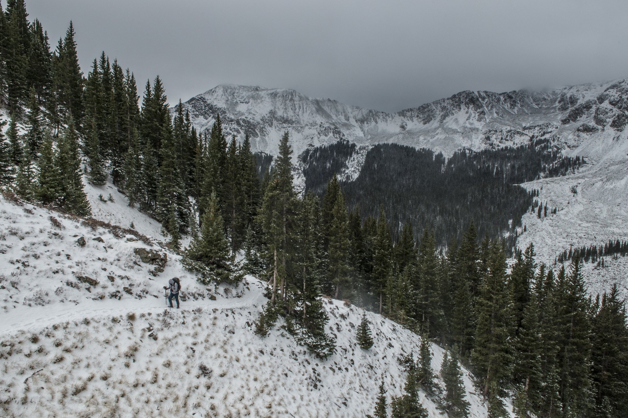
Gwynn working her way up the trail.
The switchbacks were apparently on the side of the mountain that was protected from the wind, because as soon as we got on the summit ridge we were hit by what felt like hurricane force winds. Snow was whipping around and visibility was maybe 50 feet at best. And unlike the sections of patchy deep snow on the slopes, the summit ridge was consistently deep at least up to our knees. It was definitely a struggle to make any distance. I was dressed well enough to where the cold didn’t bother me but that wind was ferocious, making me do the occasional balance check. I looked back at Gwynn who was struggling. I went to see how she was doing. She was really starting to run out of steam and mentioned that she was thinking of turning back. We’re both standing there almost up to our waists in snow. Then, I looked back up toward the summit and could just barely see through the blinding snow a shadowy figure waving their arms. It was the man that we had run into just a little bit before, and he was at the summit! I pointed that out to Gwynn and she got a little bit of a second wind. So we continued on for another couple dozen yards and finally made it to the summit.

Our view, such as it was, from the Wheeler Peak summit. 360-degree panorama.
I’ve seen other high pointer’s pictures from the top of Wheeler Peak showing incredible views for dozens of miles in every direction. That was not our experience. The visibility was maybe dozens of feet. The wind was howling, the snow driving, and the cold was bitter. There is a small windbreak made out of rocks at the summit that we tried to duck behind to get out of the wind a little bit. We didn’t linger too long. I got my shots for my panorama, such as it was, the other hiker we met was nice enough to take our picture, and then we decided to start heading down.
We managed to find a section of trail that got us off the summit ridge before the top of the switchbacks. This got us out of the worst of the wind and crotch deep snow. At this point Gwynn mentioned that her fingers were bitterly cold and starting to hurt. Her gloves were fairly thin and chemical hand warmers are too big for work on gloved fingers. I was wearing mittens and felt fine. I told her to use my mittens so she can get her fingers warm again. She said no, that it was OK. I said I wasn’t asking and took my mittens off and handed them to her. She gave me her gloves and I put them on the best I could. They weren’t made for my big hands but I put them on as far as they would go.

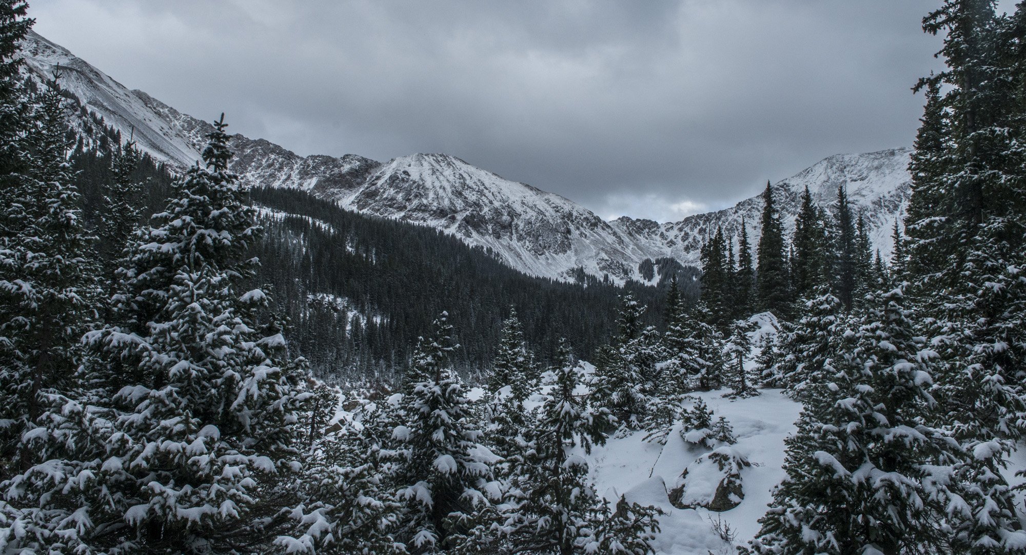
The view coming back down the trail.
So we continued our hike down the mountain. It was amazing how much calmer it was on this side of the mountain than it was the ridge line and the other side. We were making remarkable time down the trail. My strategy of just plowing through all the snow drifts on the way up was paying off, as they were much easier to go through on the way down. Going downhill is not necessarily faster than going uphill, but in this case it was several times faster. We made it from the summit back down to Williams Lake in about an hour. I had shed several layers of clothing by then as I was getting pretty warm, even though it was freezing out. I actually had steam coming off of me. Just below the tree line we ran into two hikers that were heading up. They were not dressed at all for the conditions. They were both just wearing sneakers and sweatshirts. I told them what the conditions were like up the mountain and especially at the summit. Hopefully they heeded my advice.
Once we were back at camp we were deciding if we wanted to take a nap or pack up camp and head out. We both decided that we just wanted to finish hiking out and get going to our next destination. So we packed up camp and headed back to the car. It had certainly been an adventure, and I was happy to have done it without getting sick like I did at Mount Elbert. In fact, I felt great and had shown no signs of altitude sickness. We were both starving so we decided to stop in Taos for some Mexican food. After dinner we got back on the road and headed off to our next adventure.
Return to Adventure Blog main page