Blog

Bryce Canyon National Park, Utah. Life in the Theater.

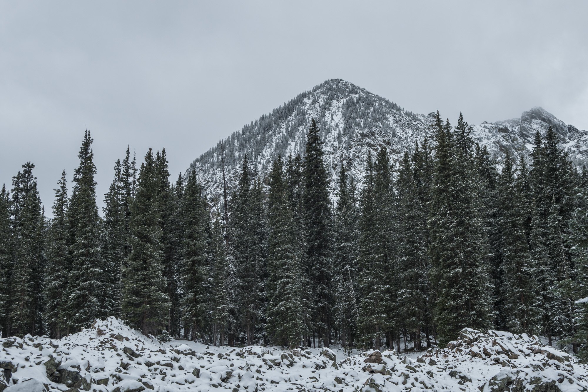
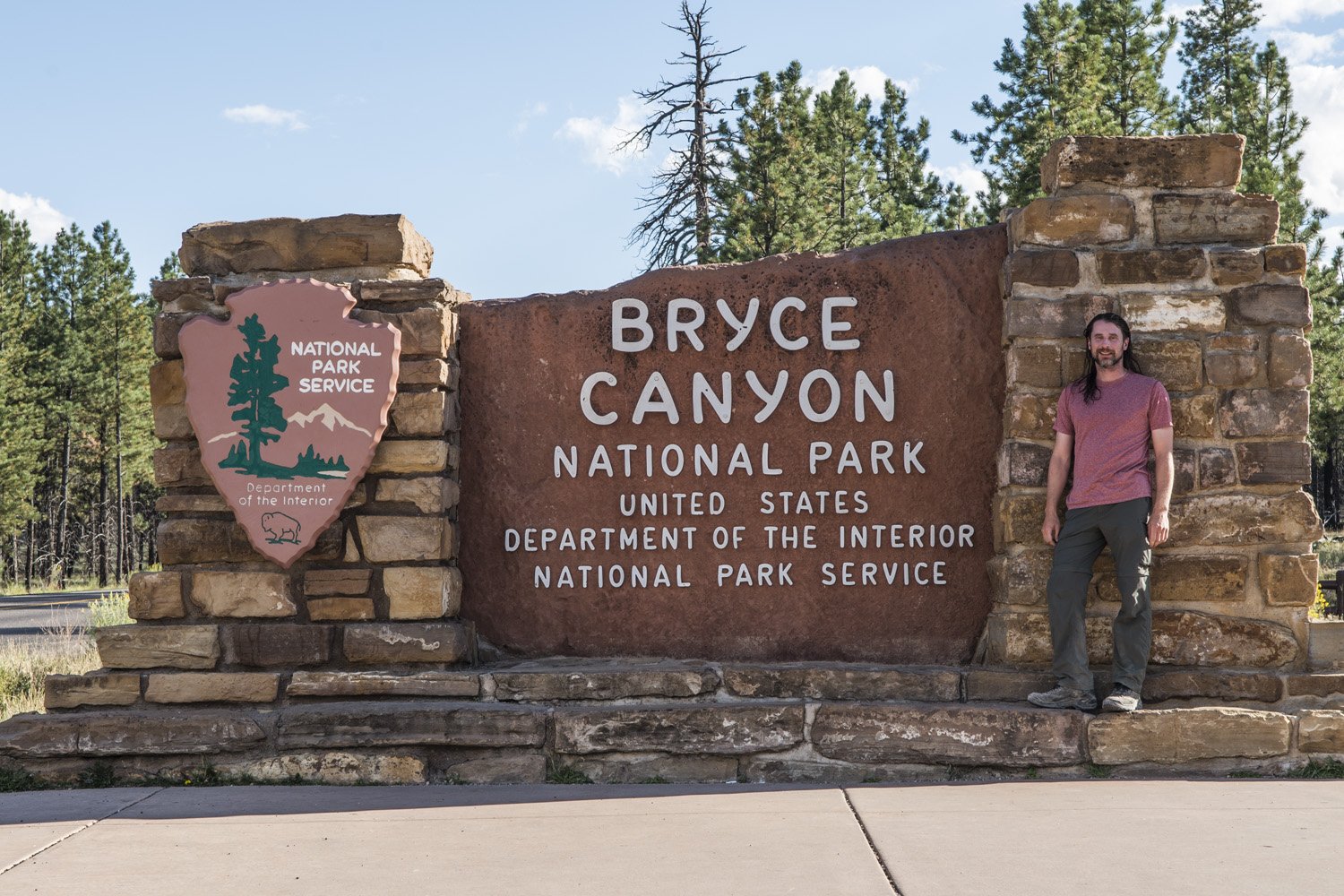
Park Visit: August 25-26, 2017

DAY ONE:

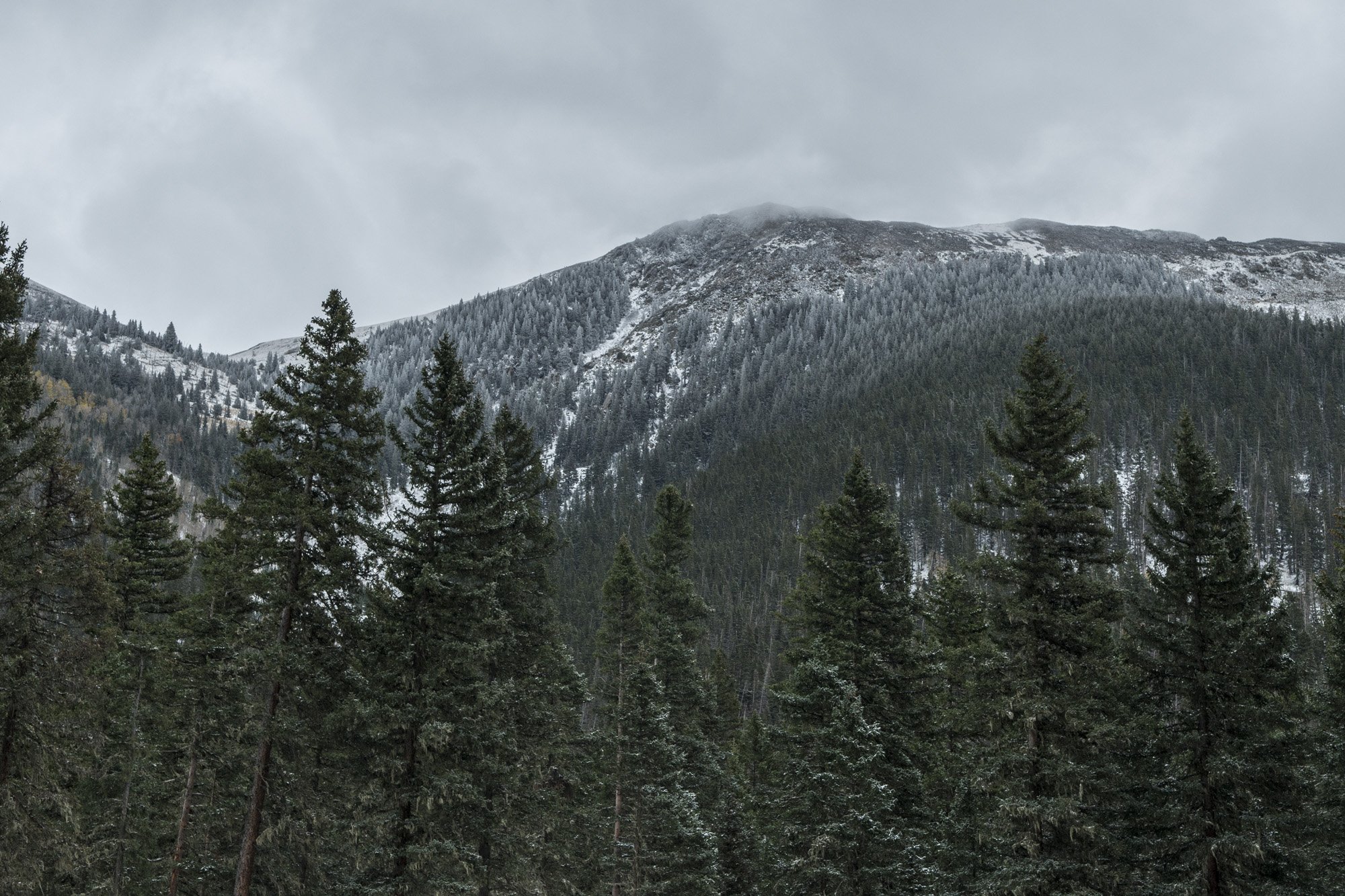
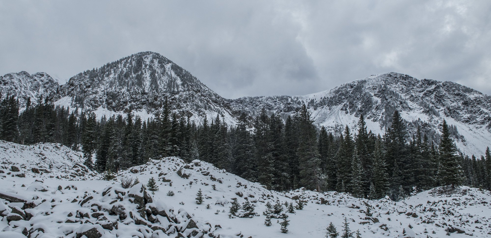
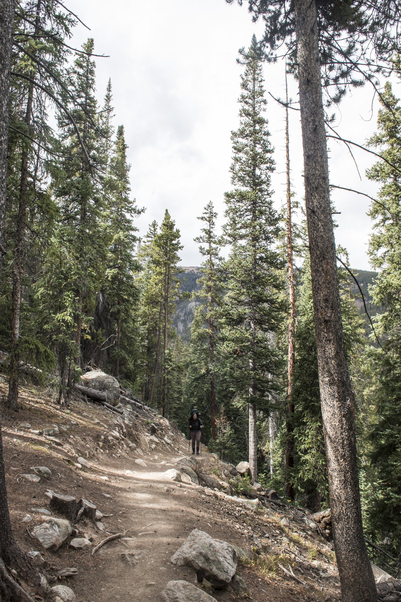
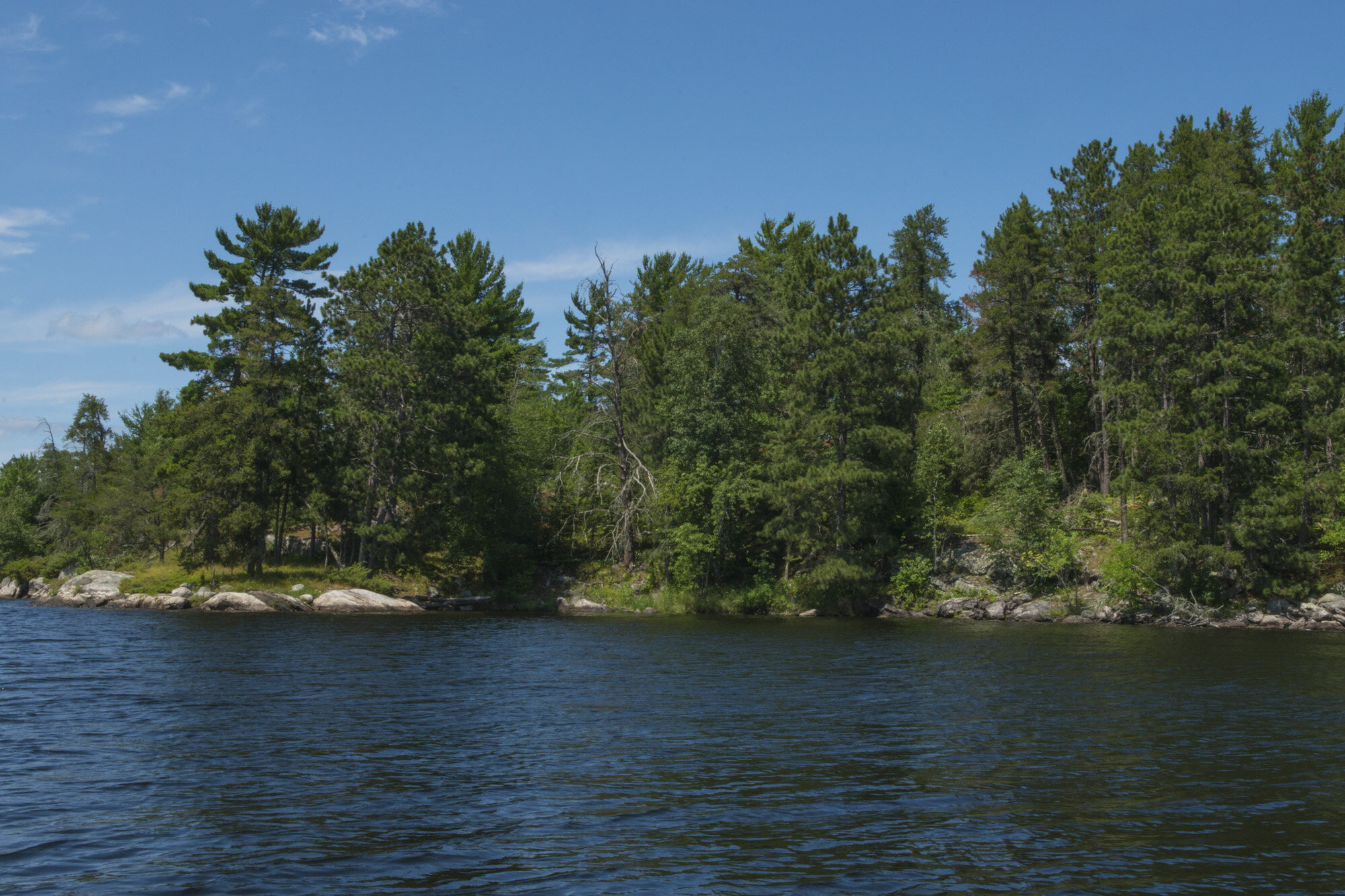
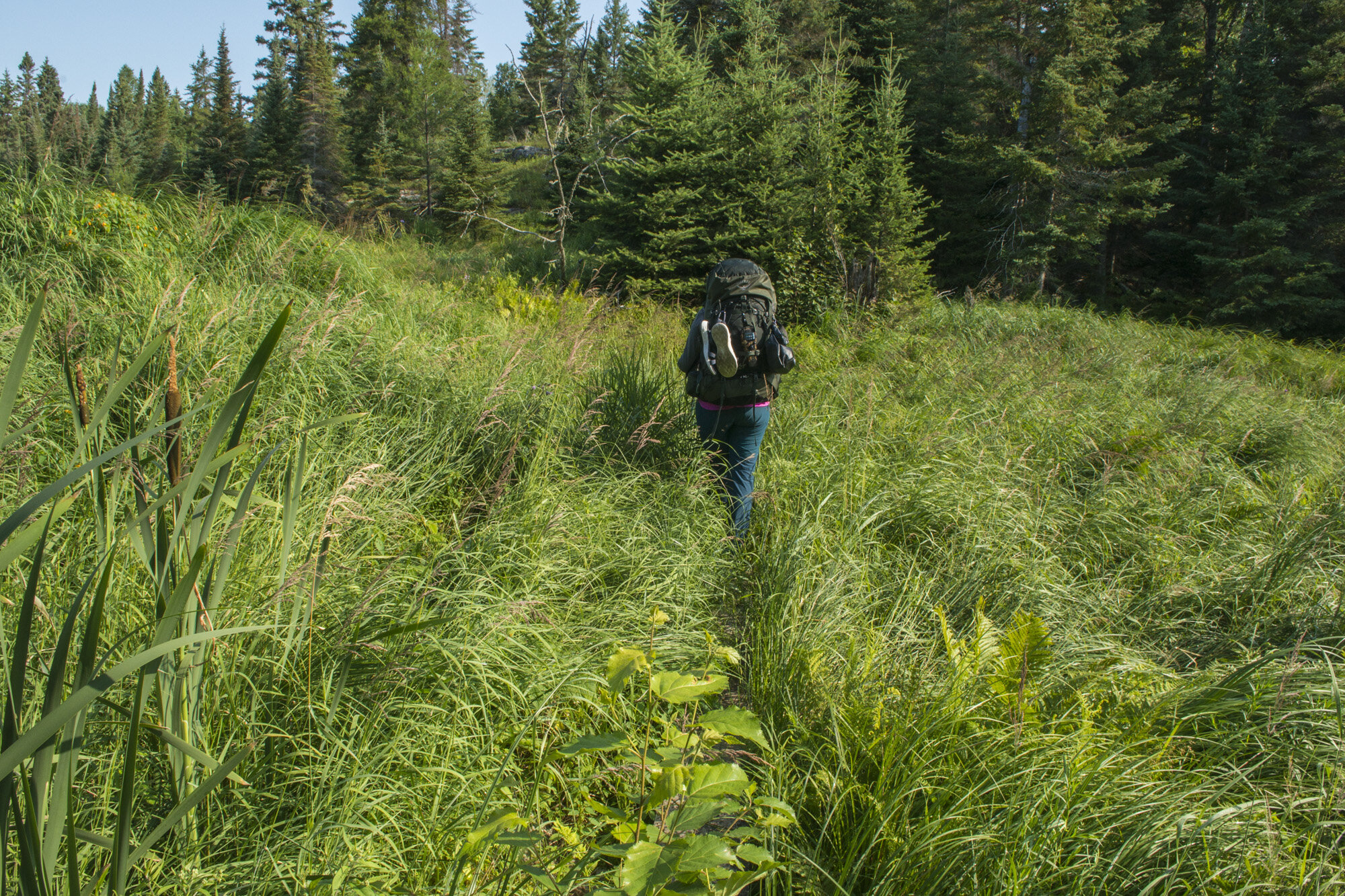
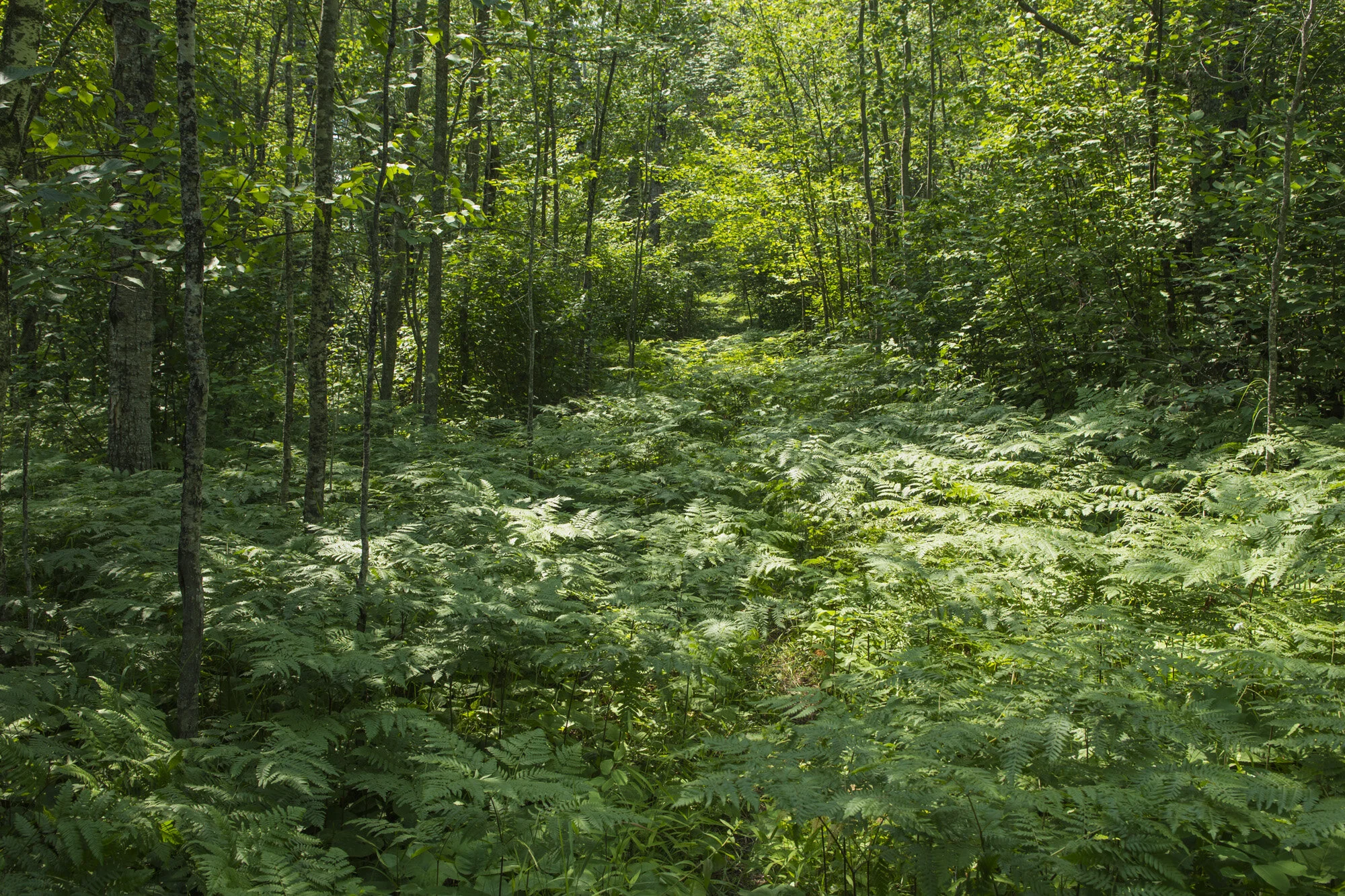
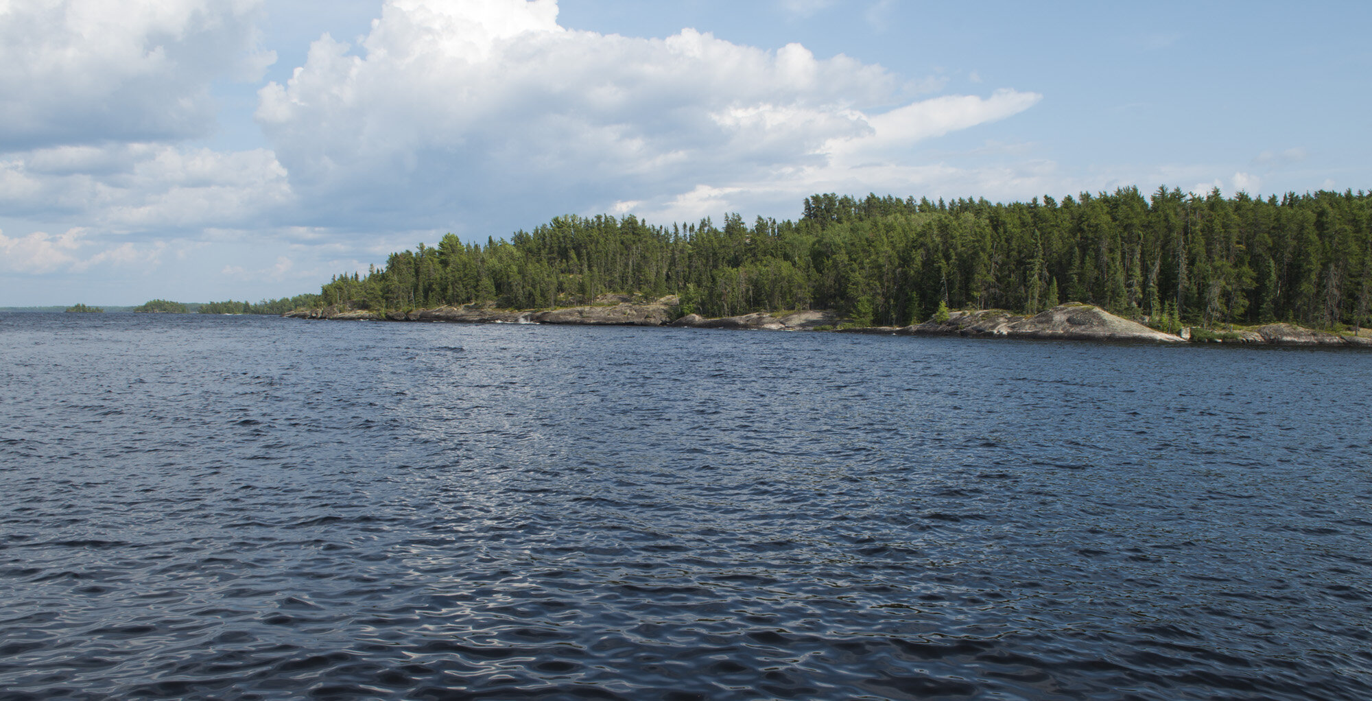
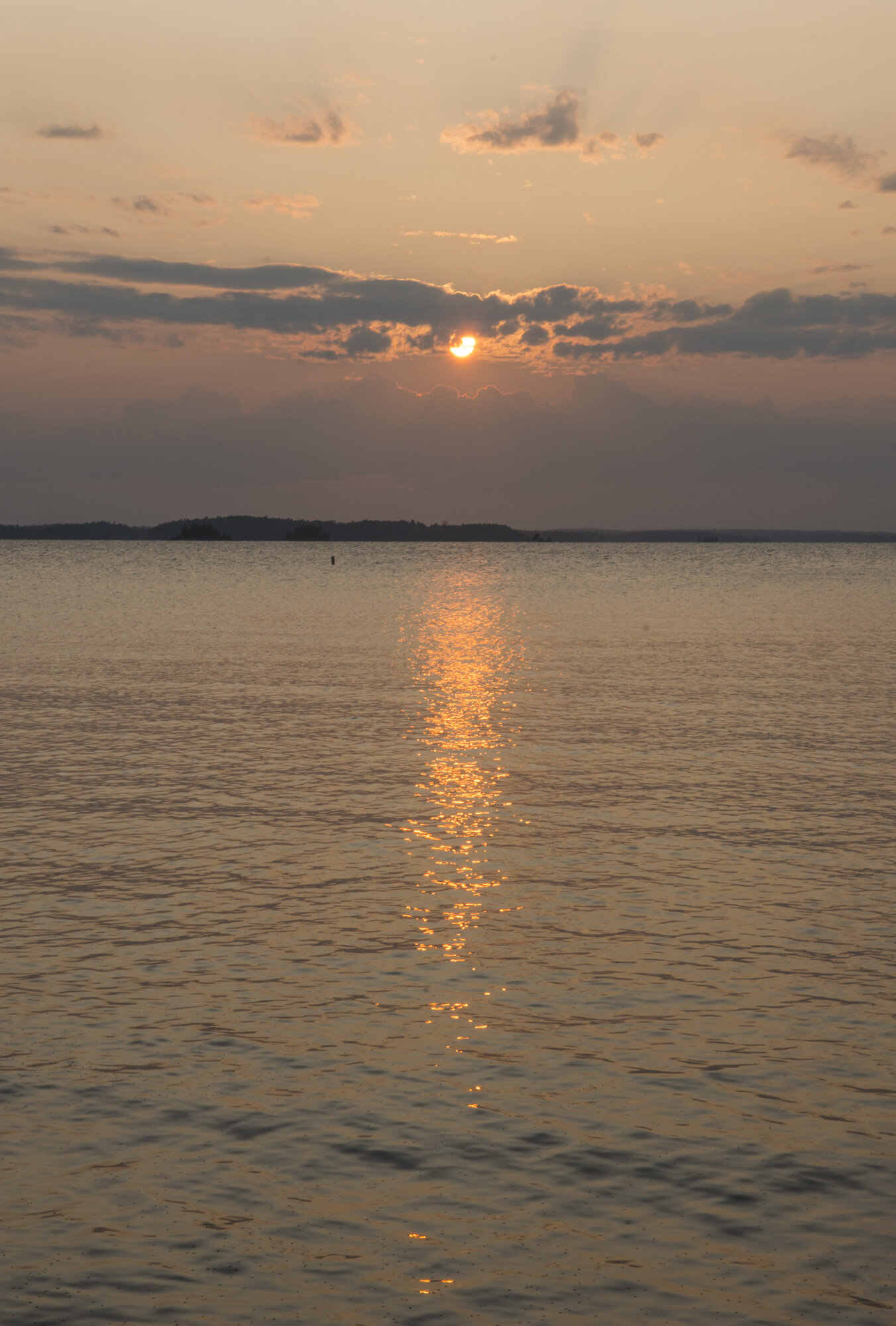
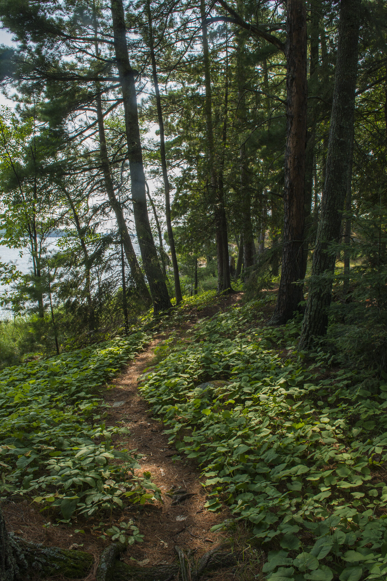
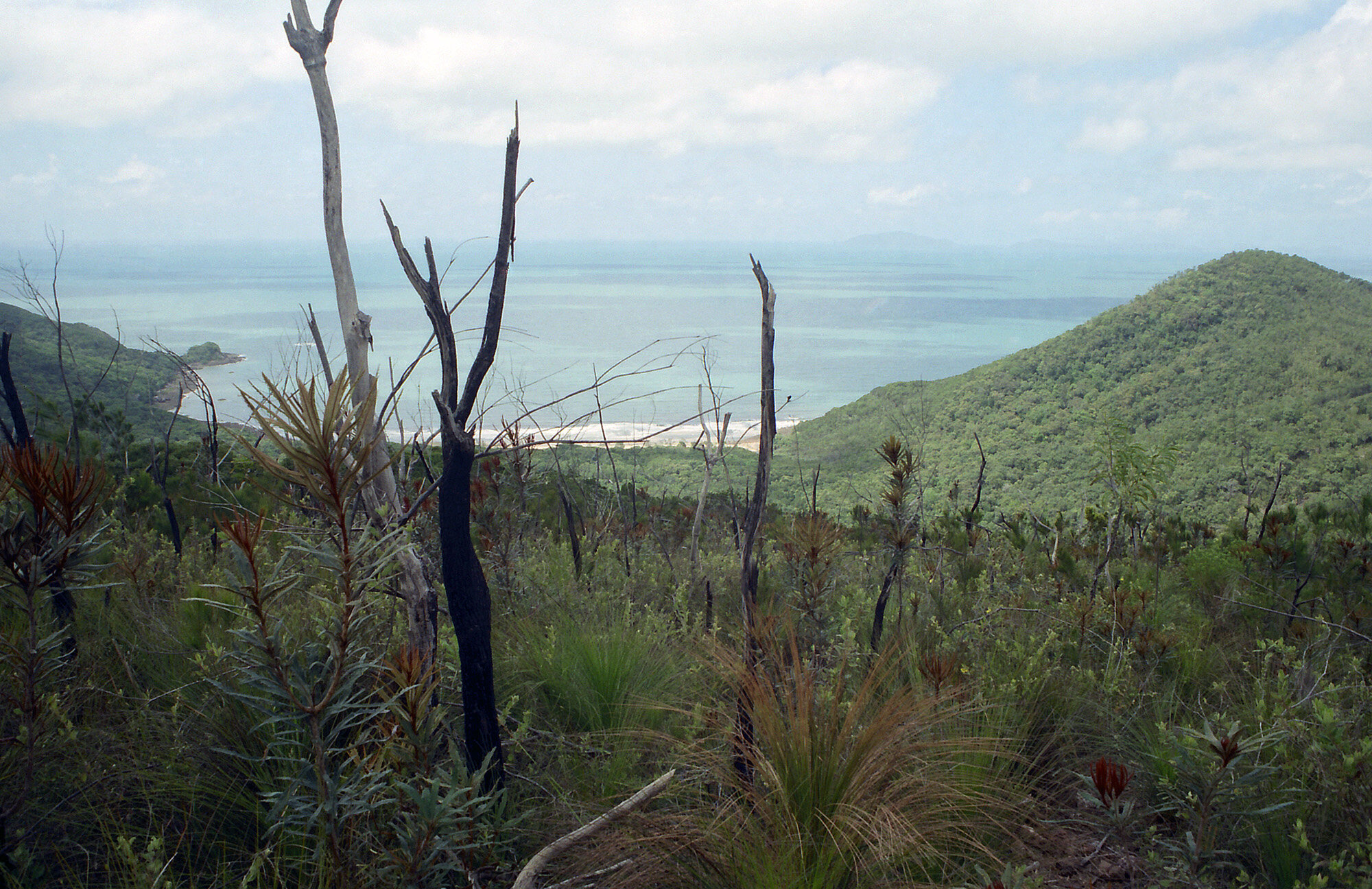
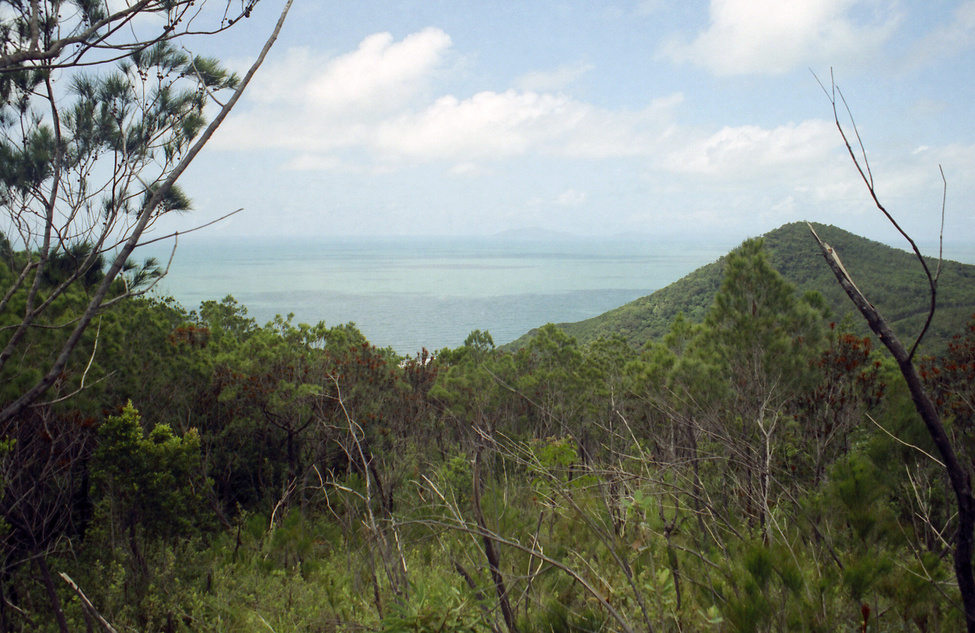
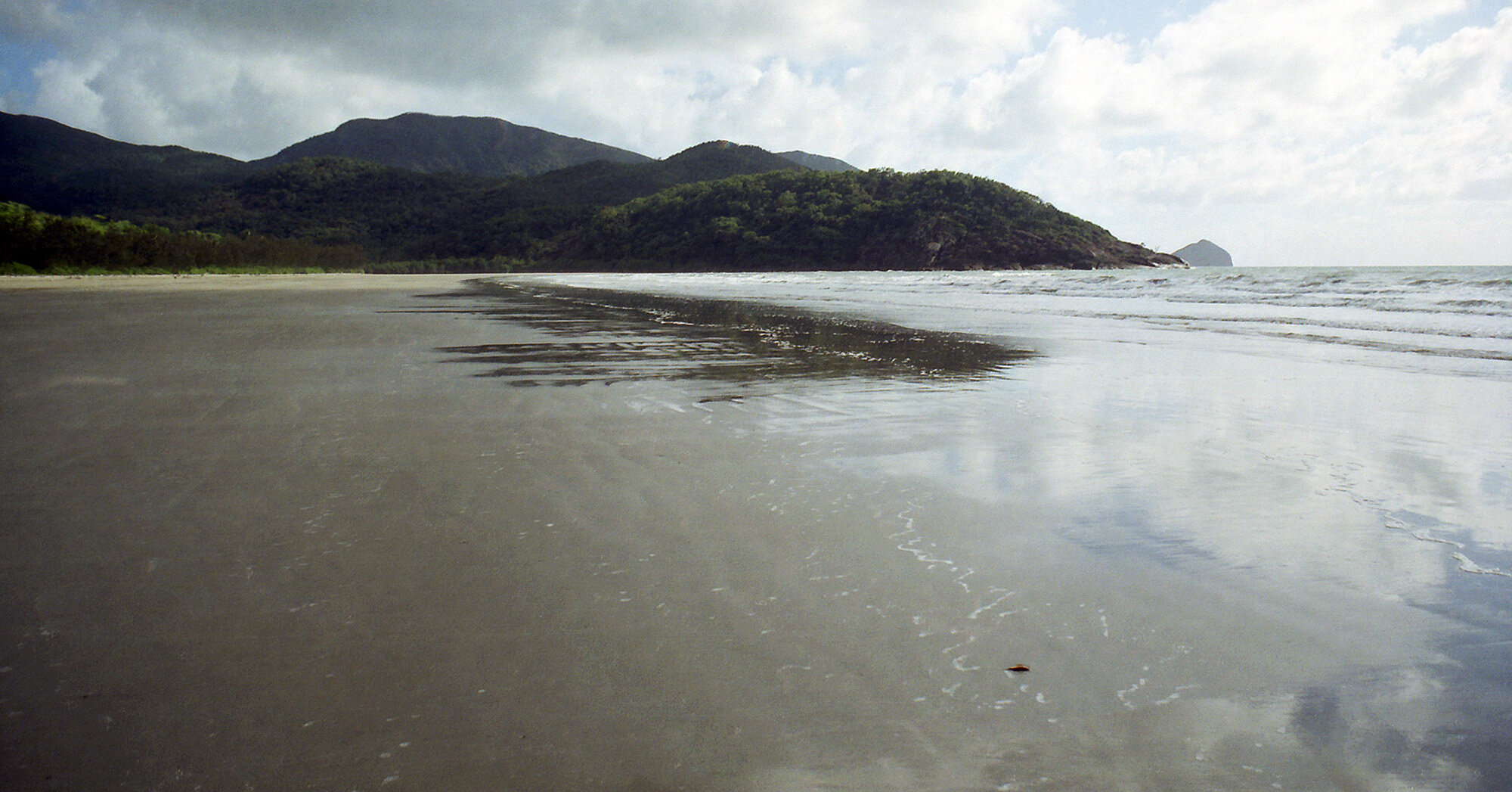
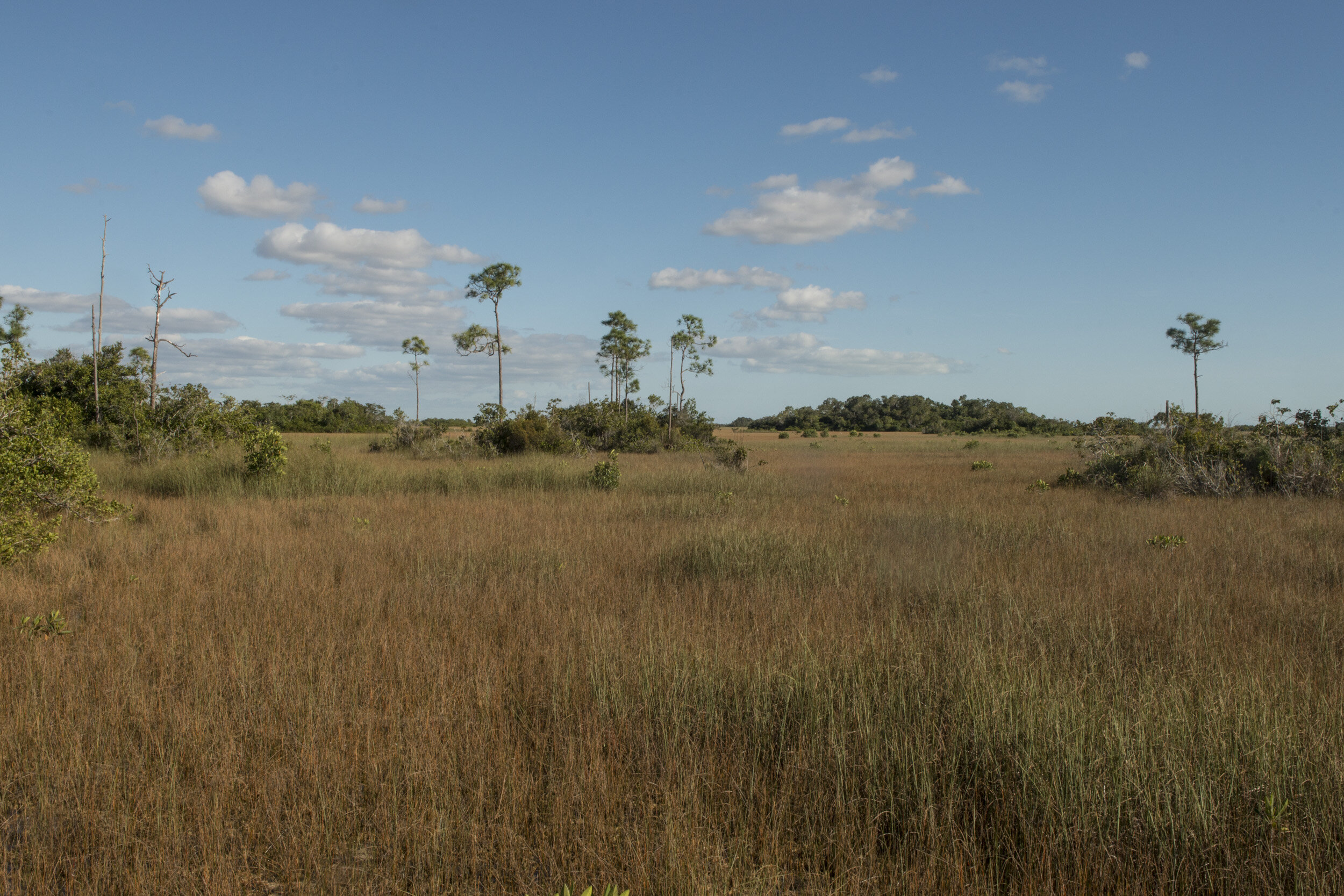
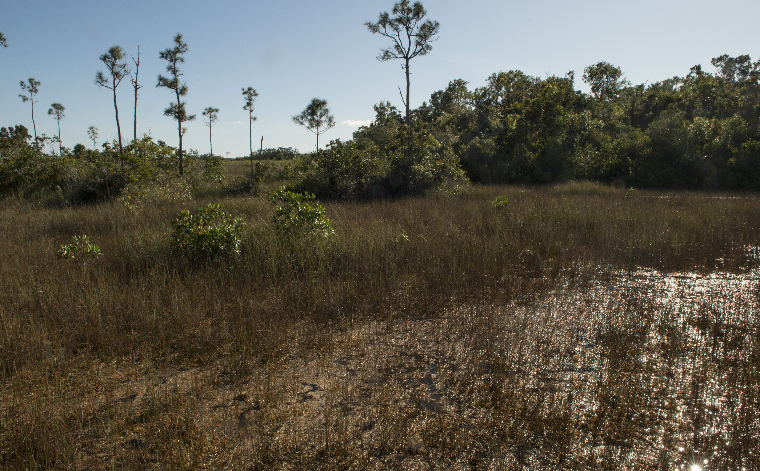
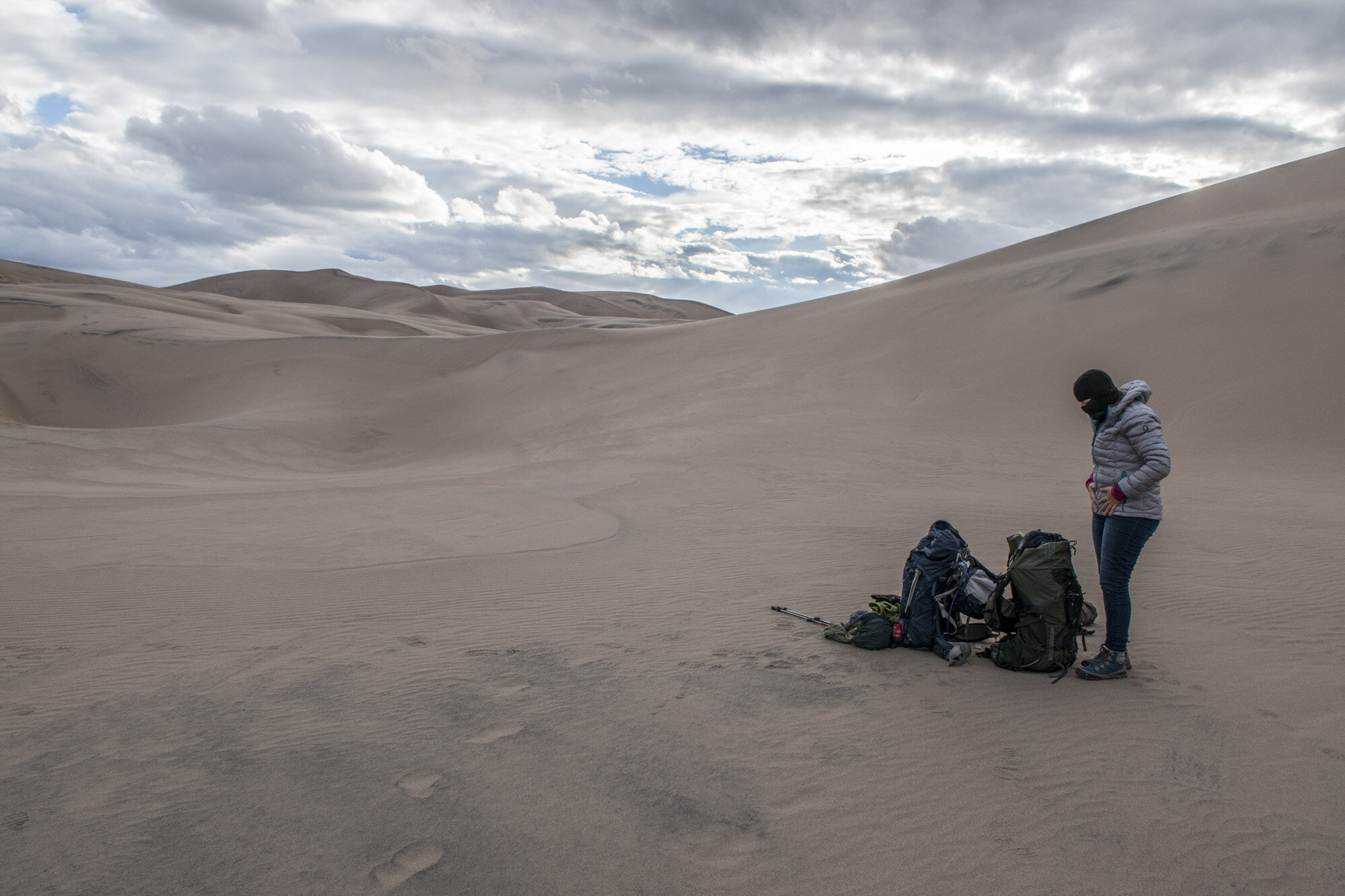
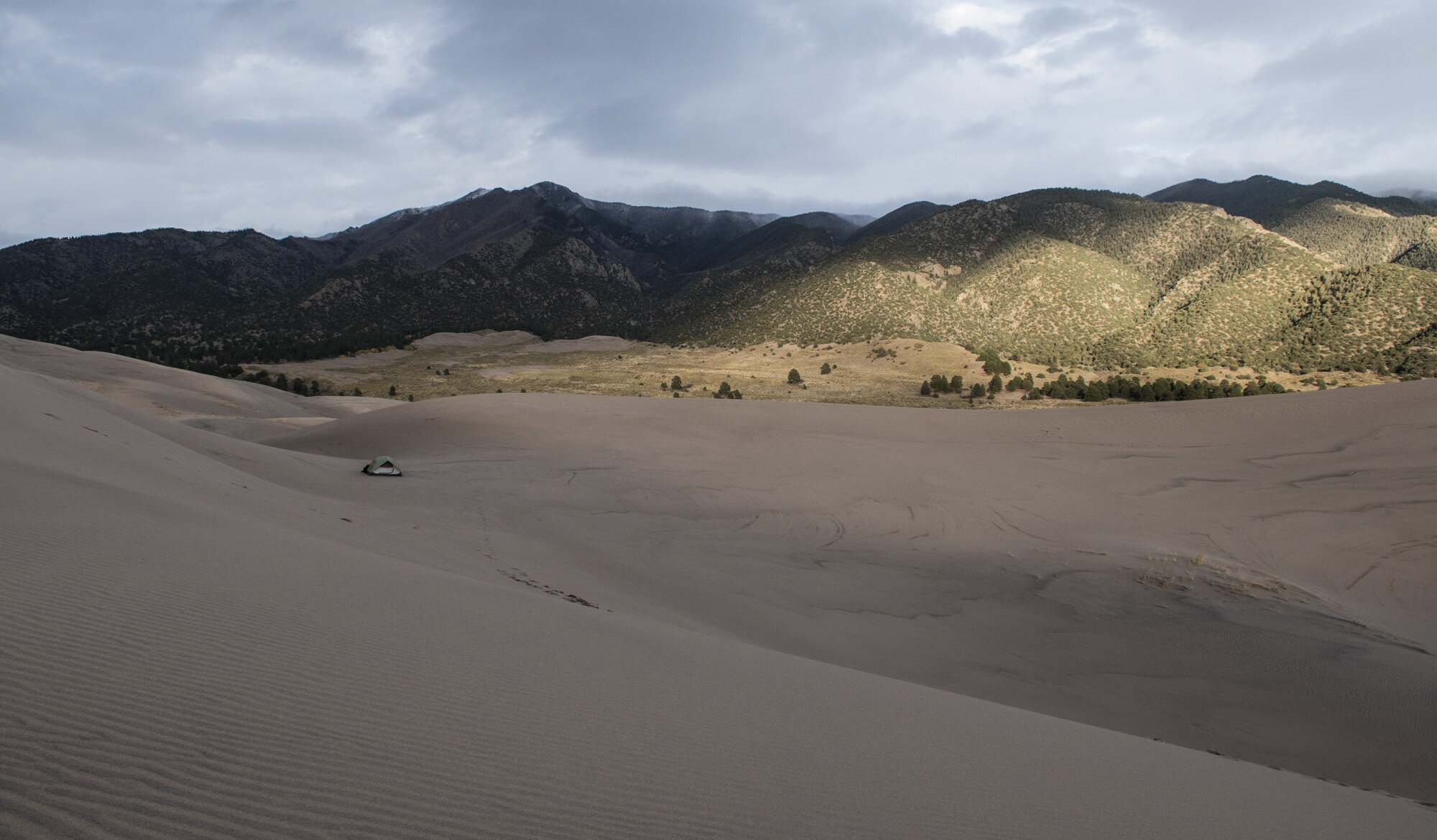
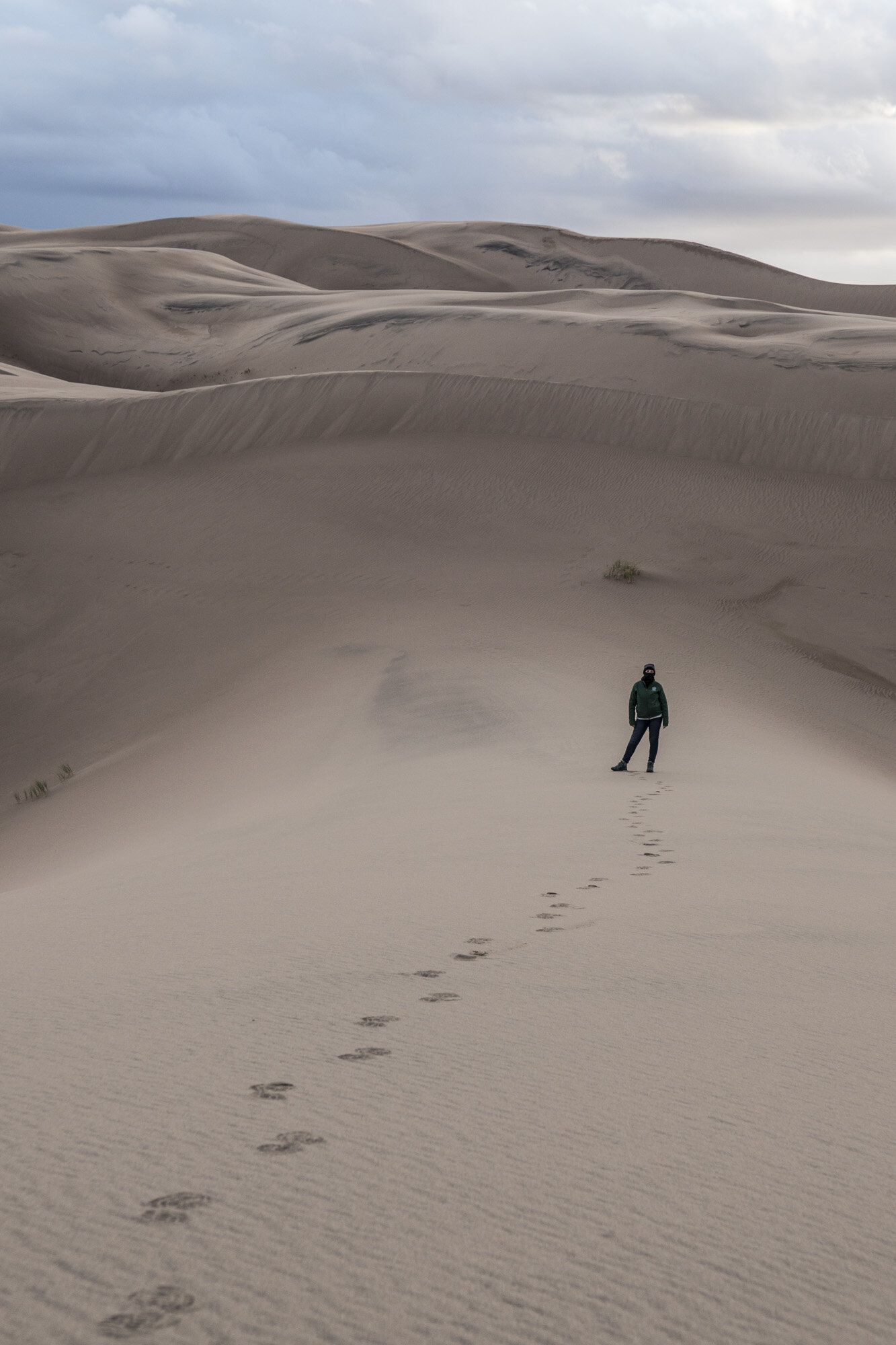
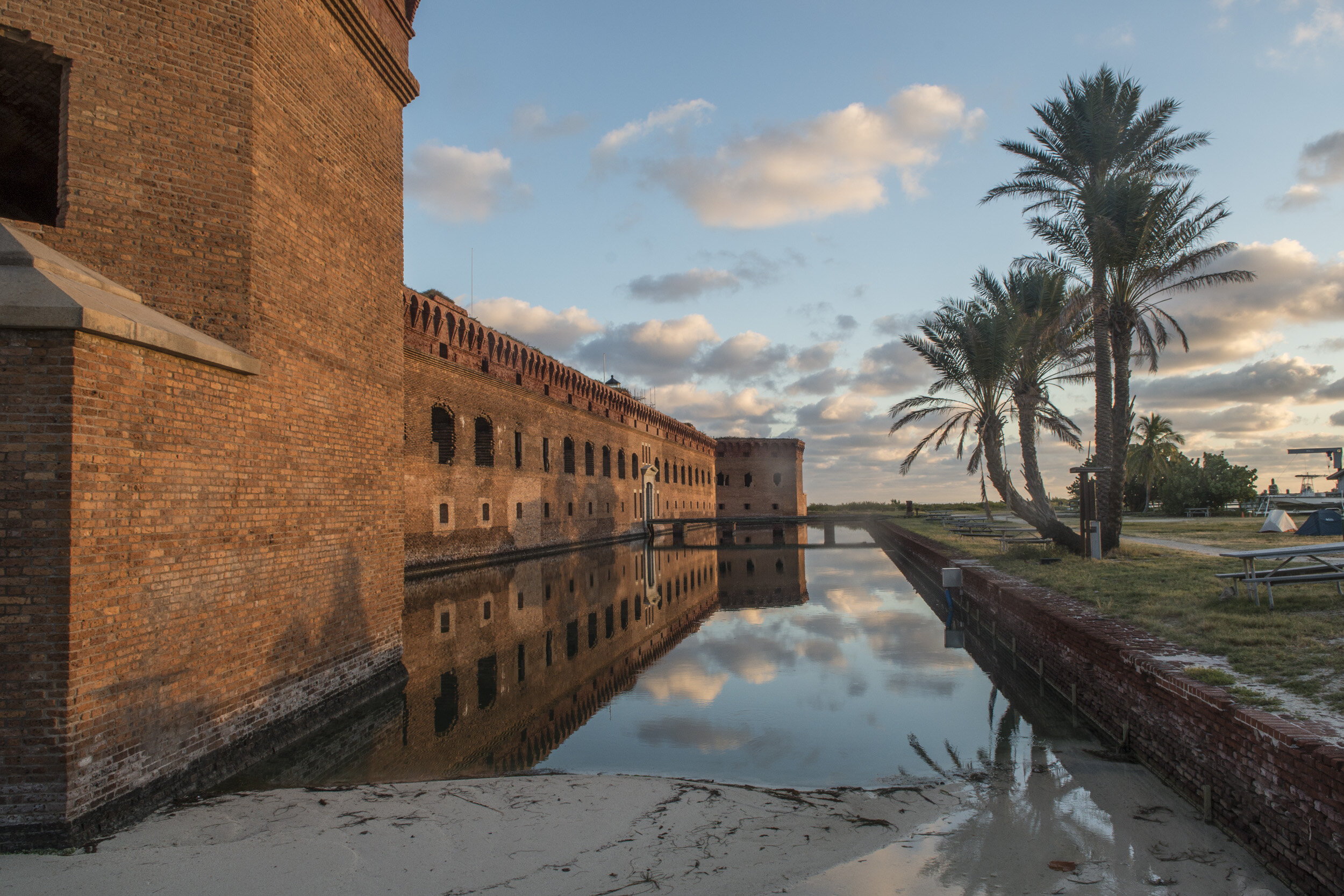
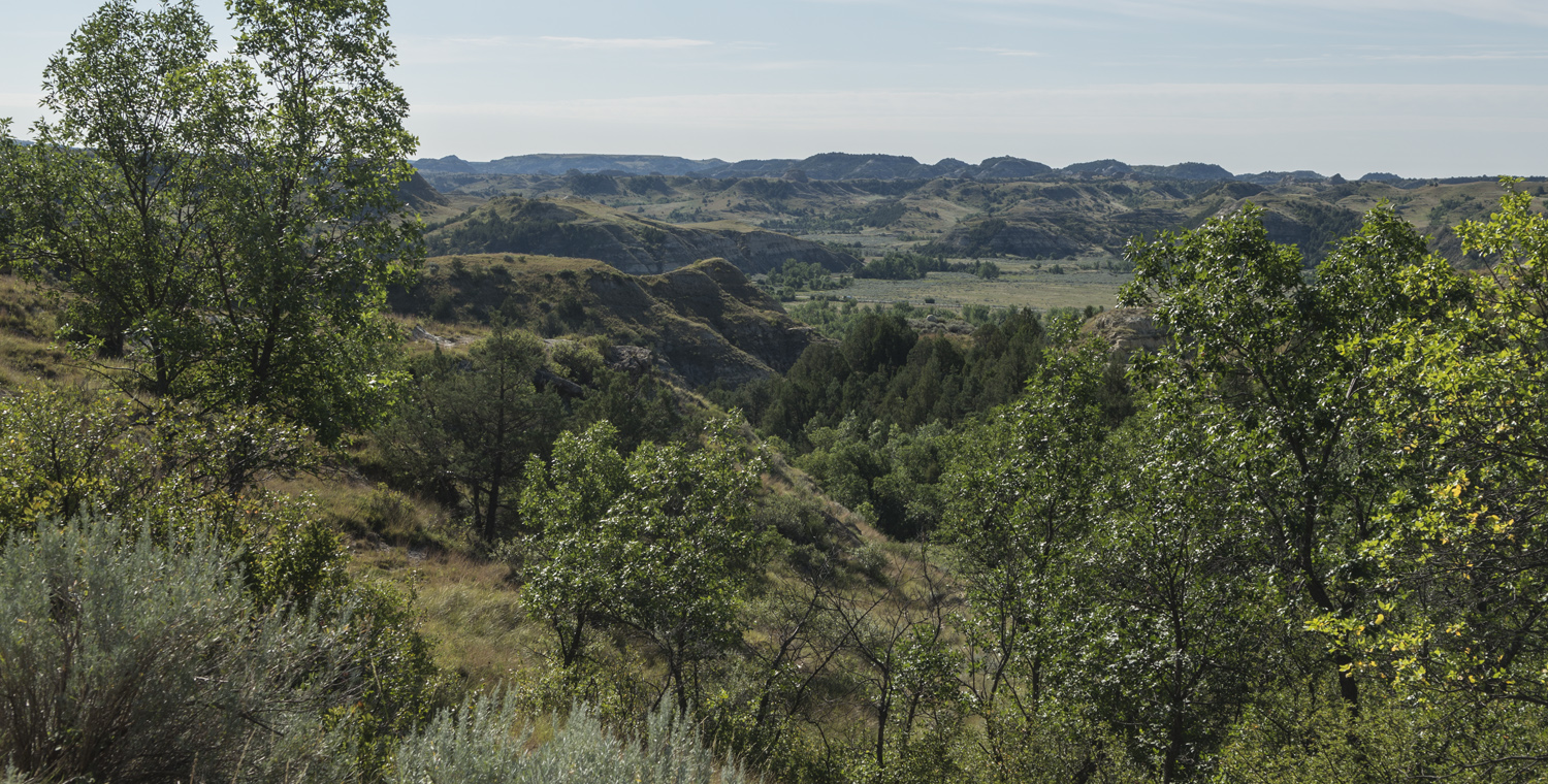
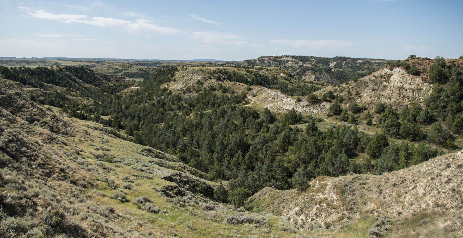
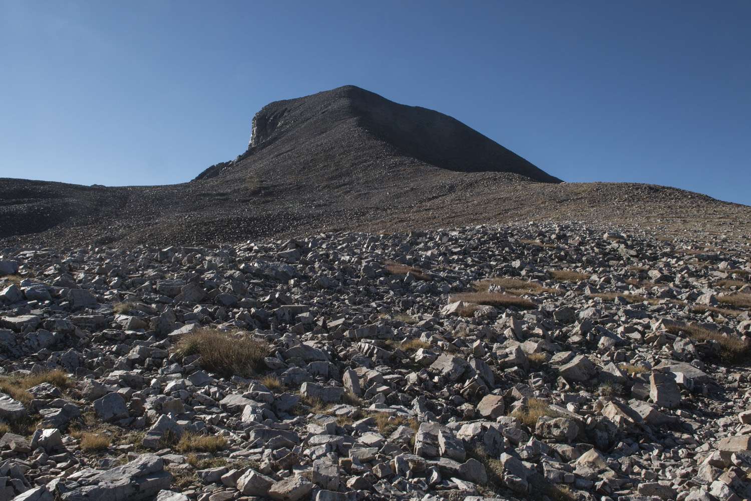
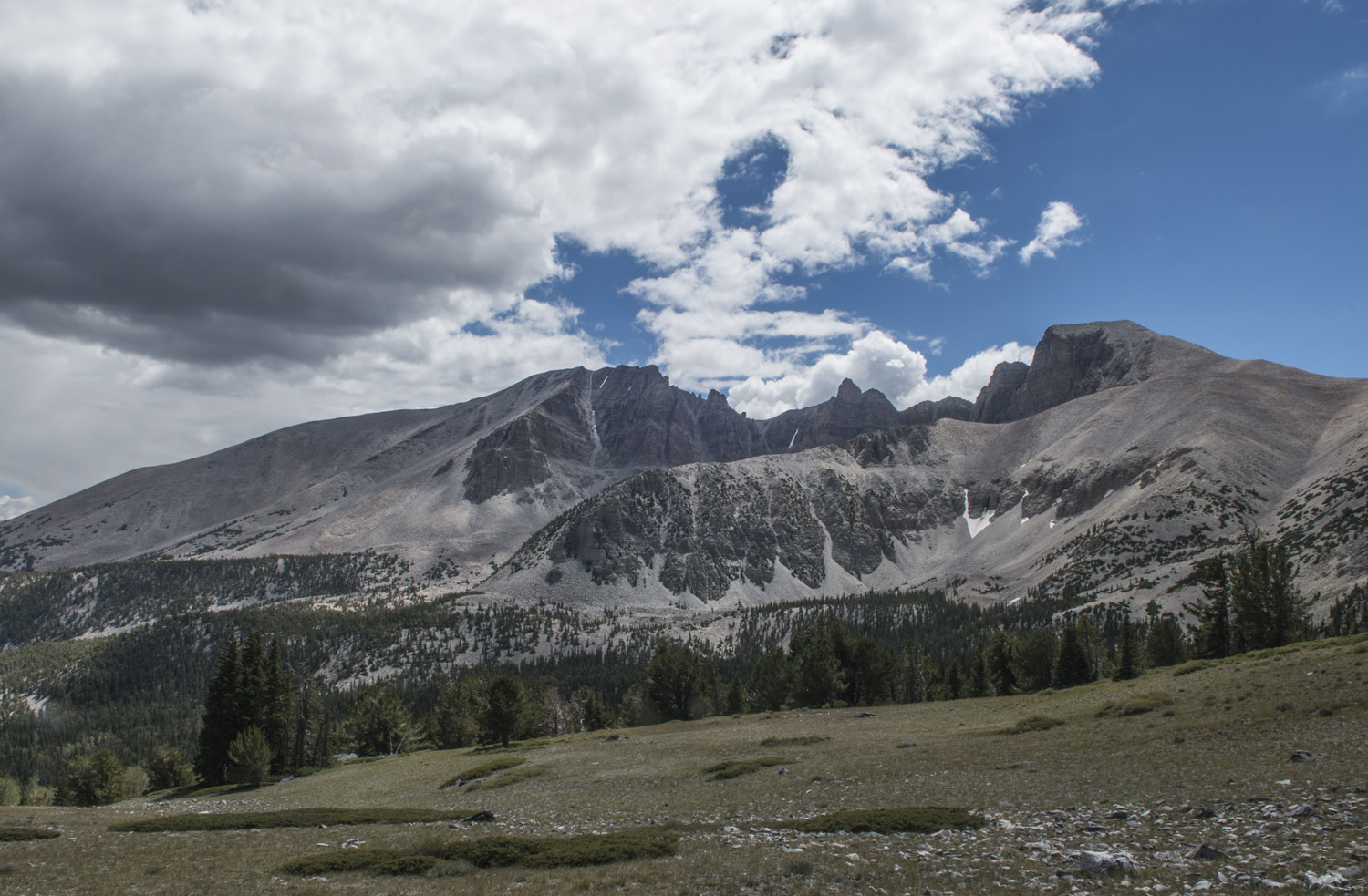
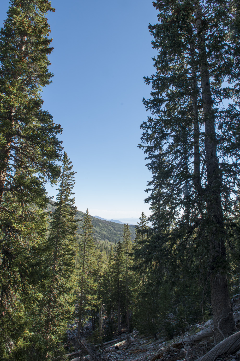
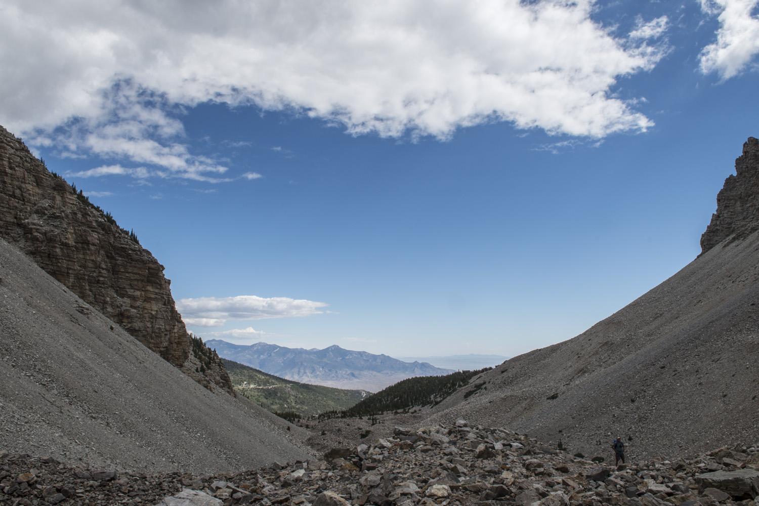
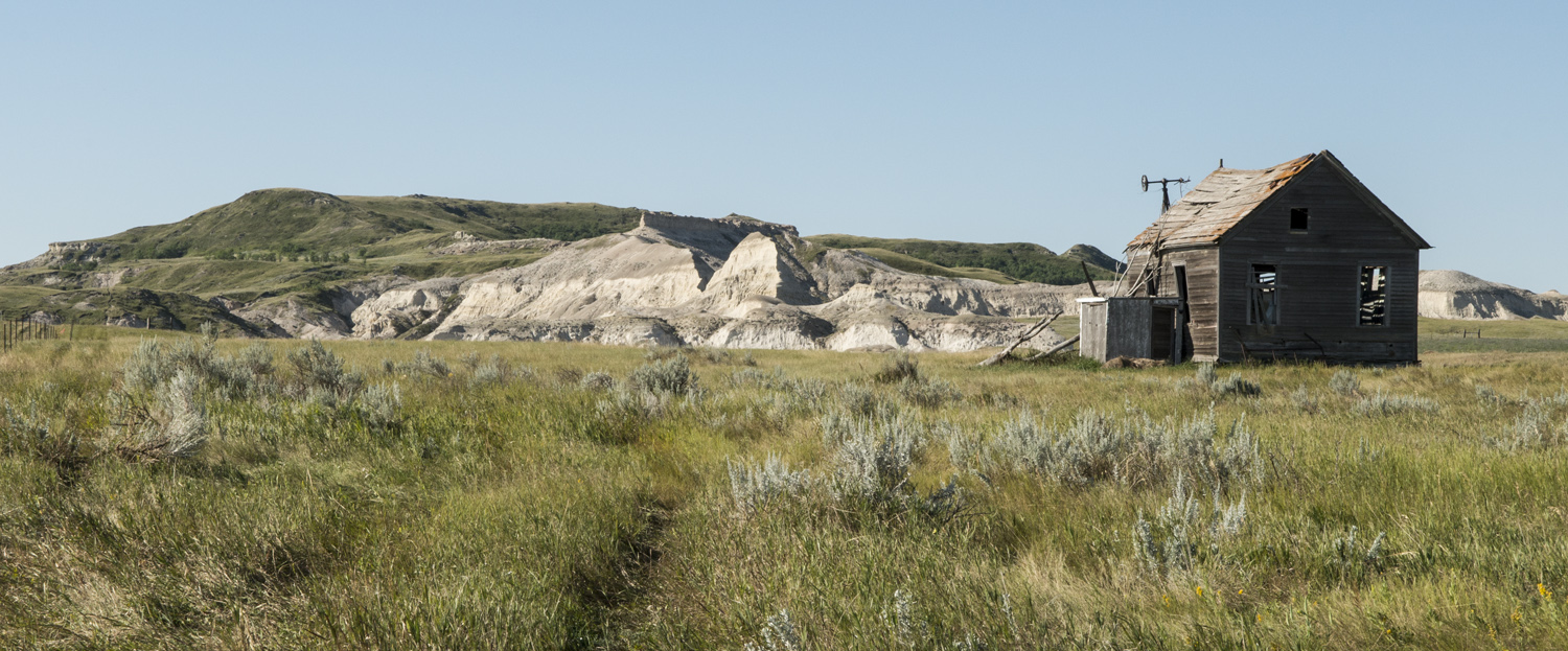
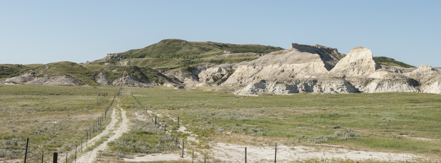
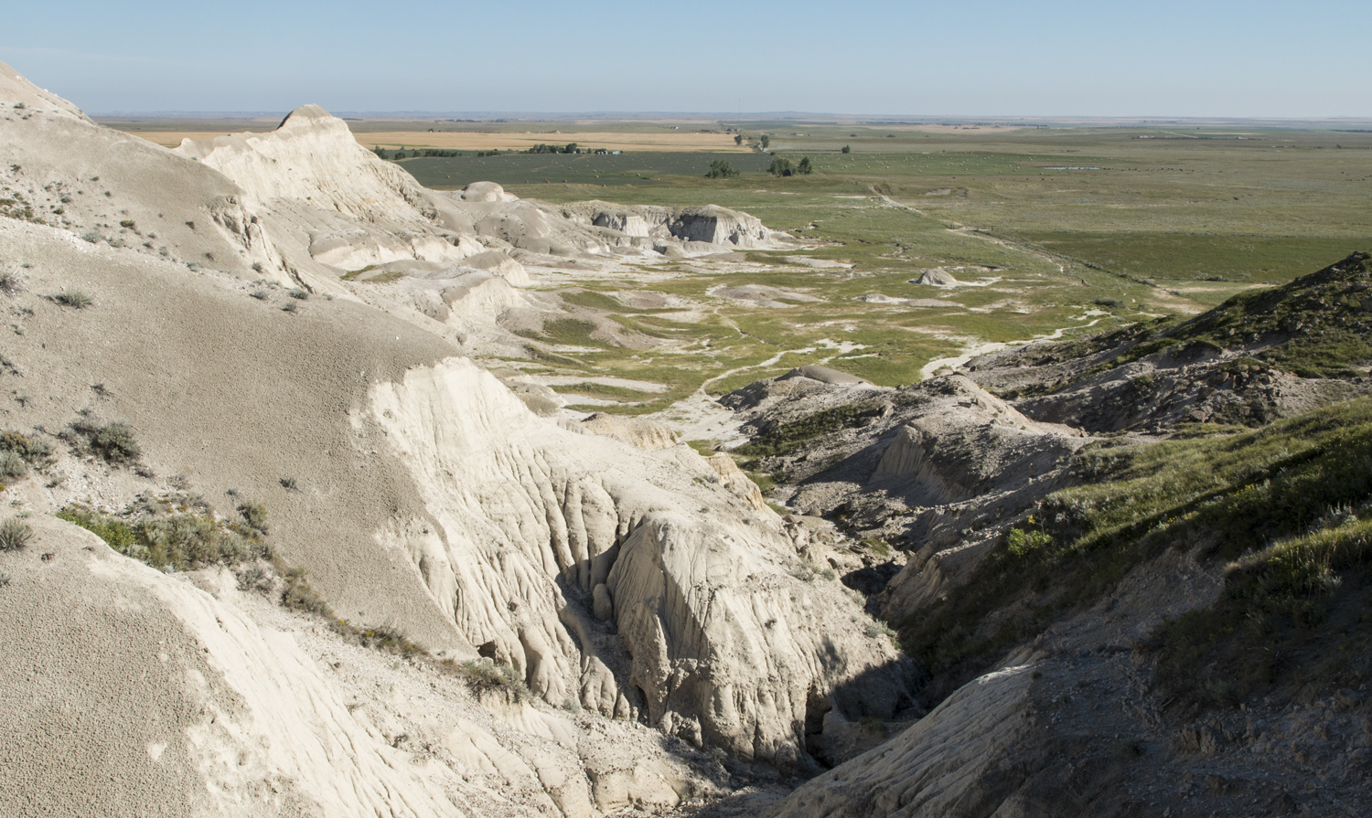
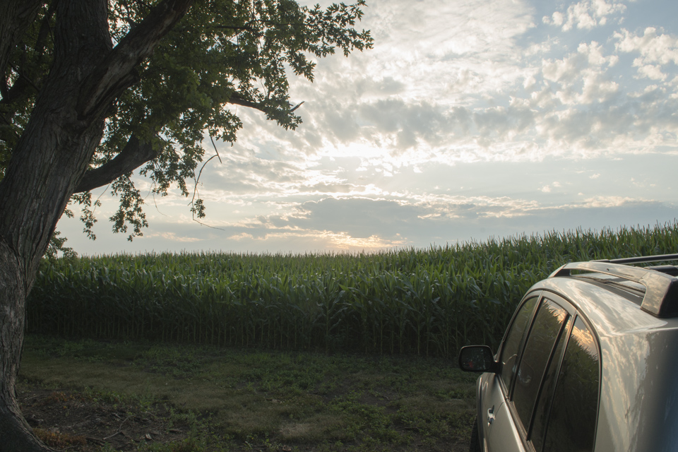
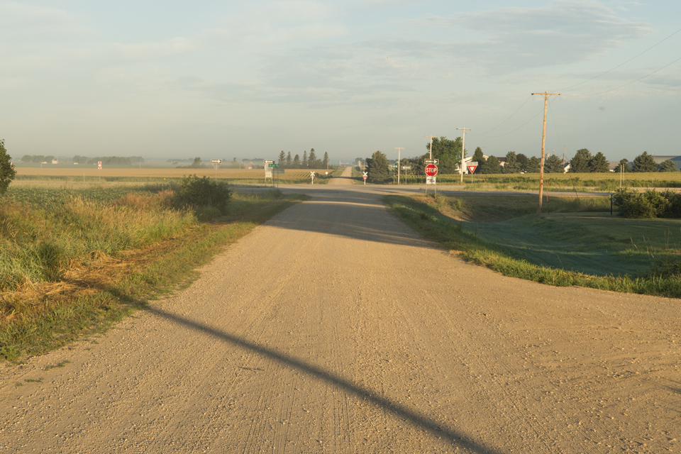
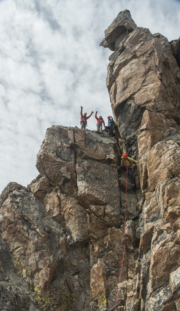
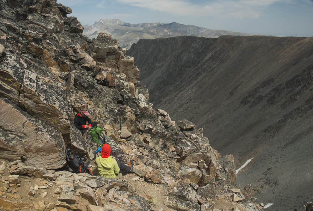
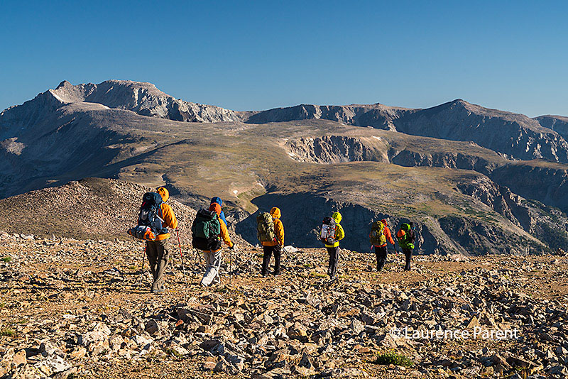
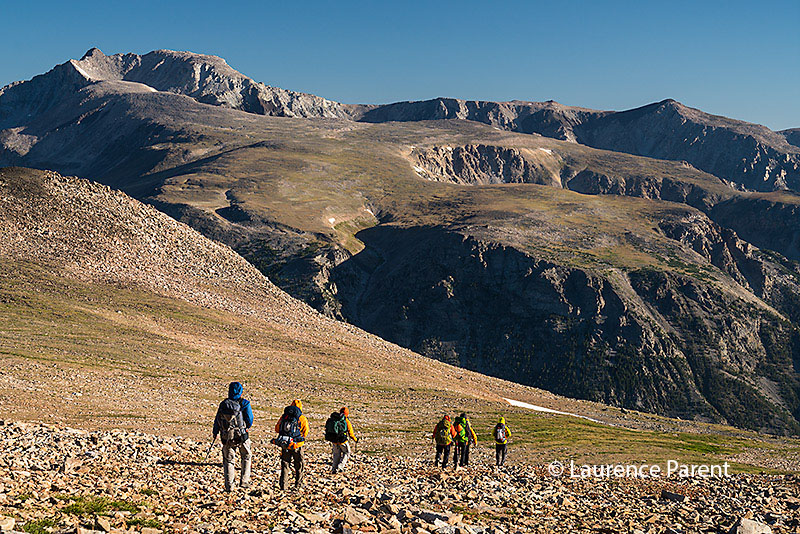
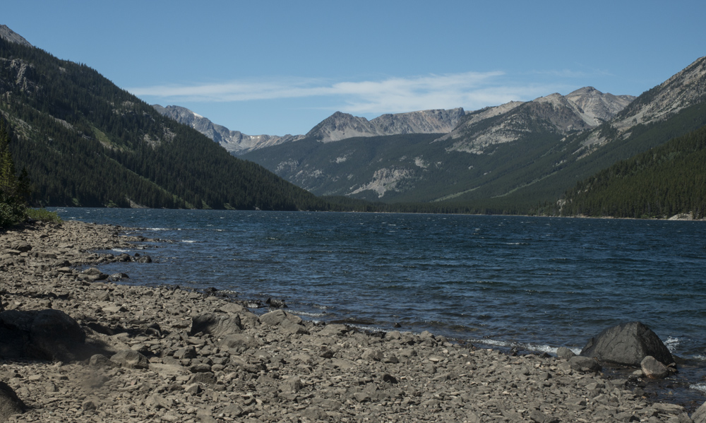
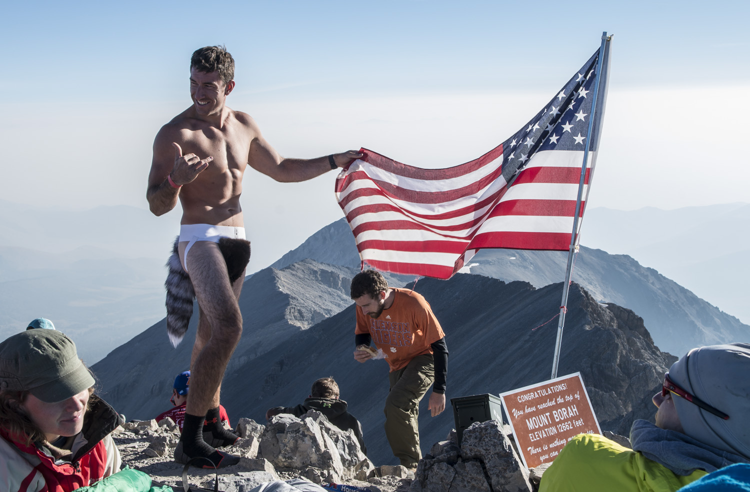
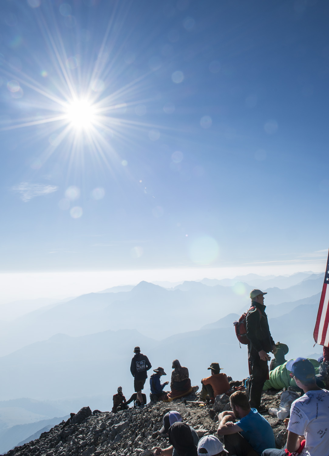
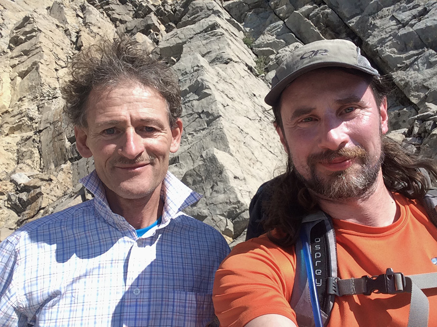
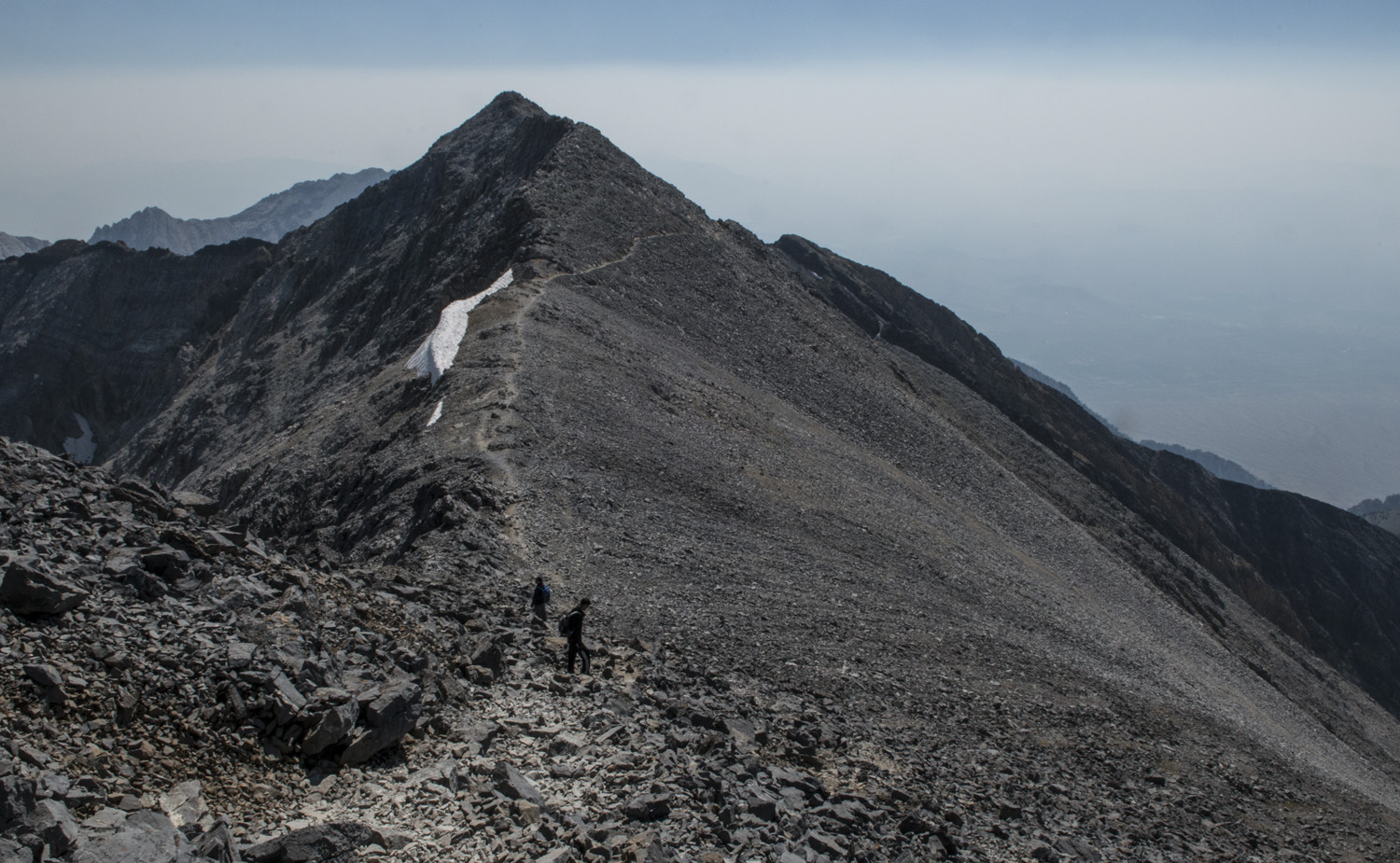
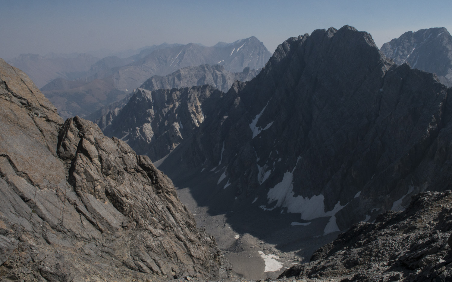
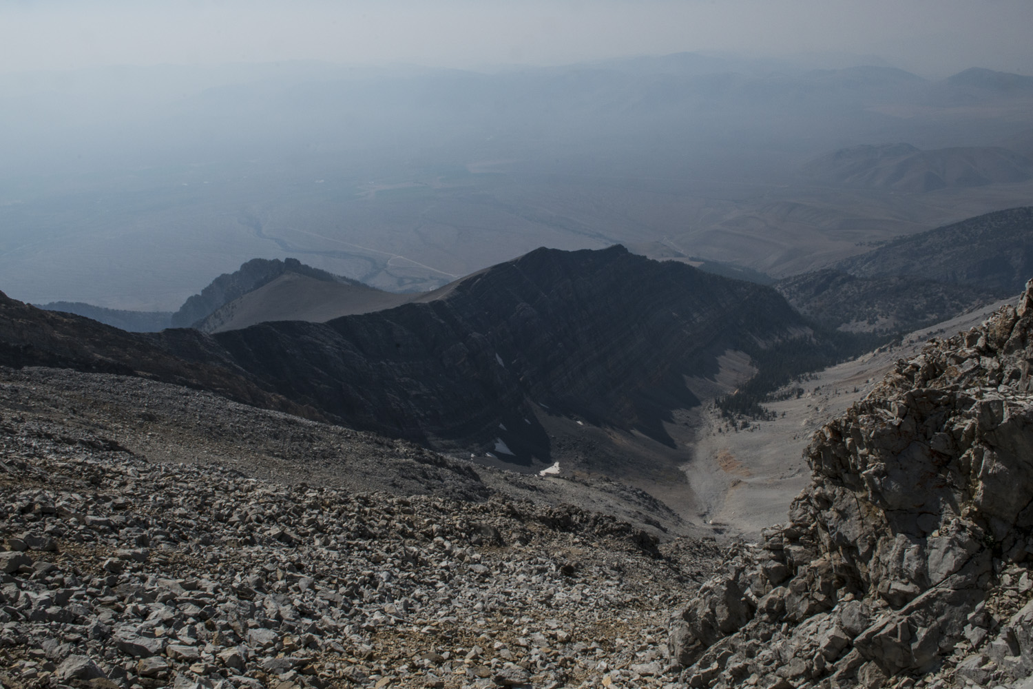
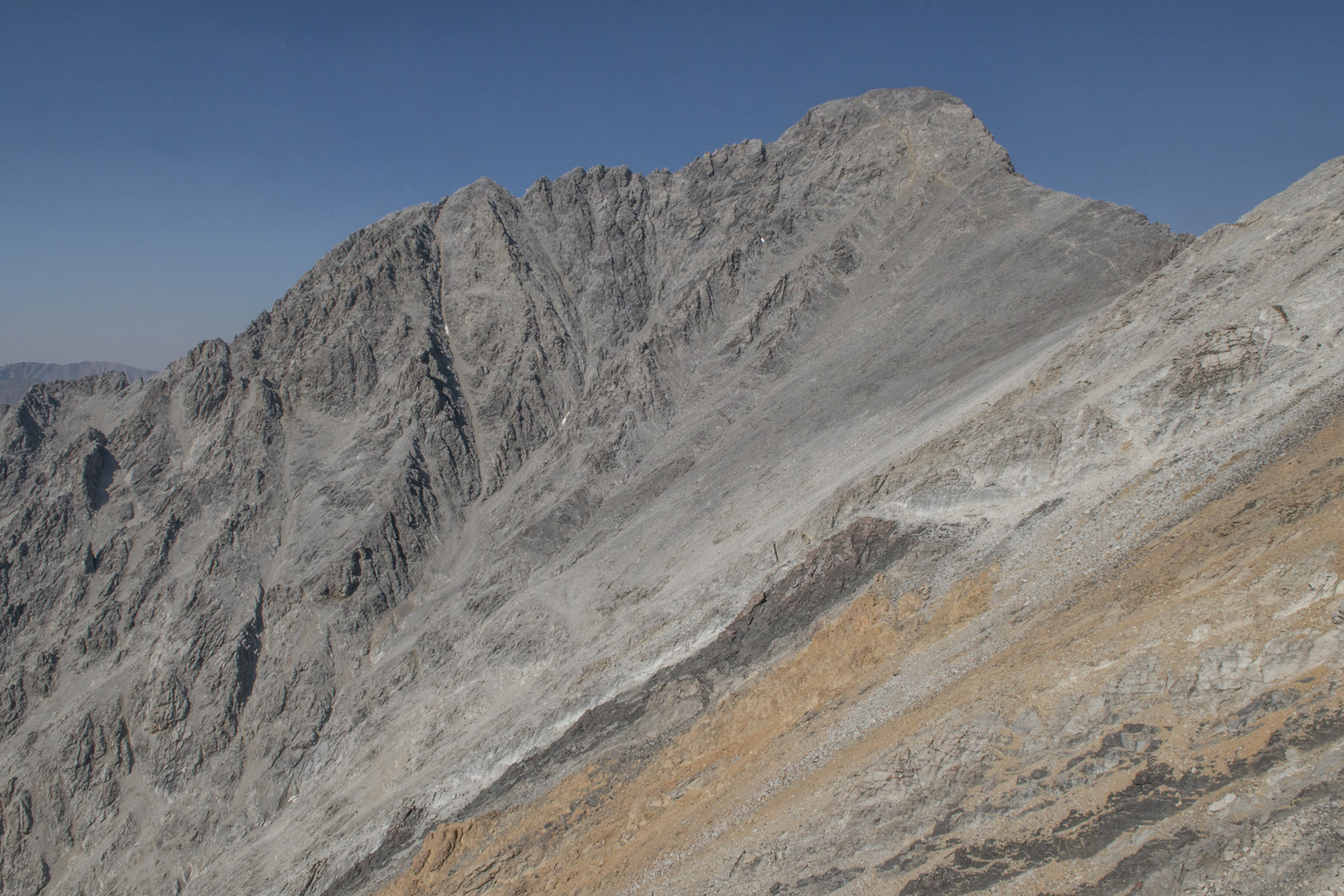
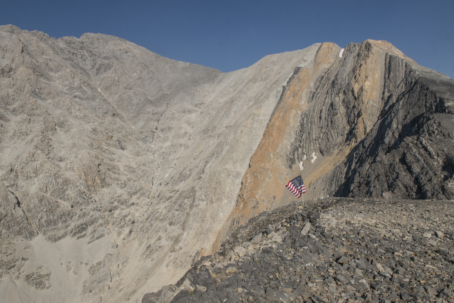
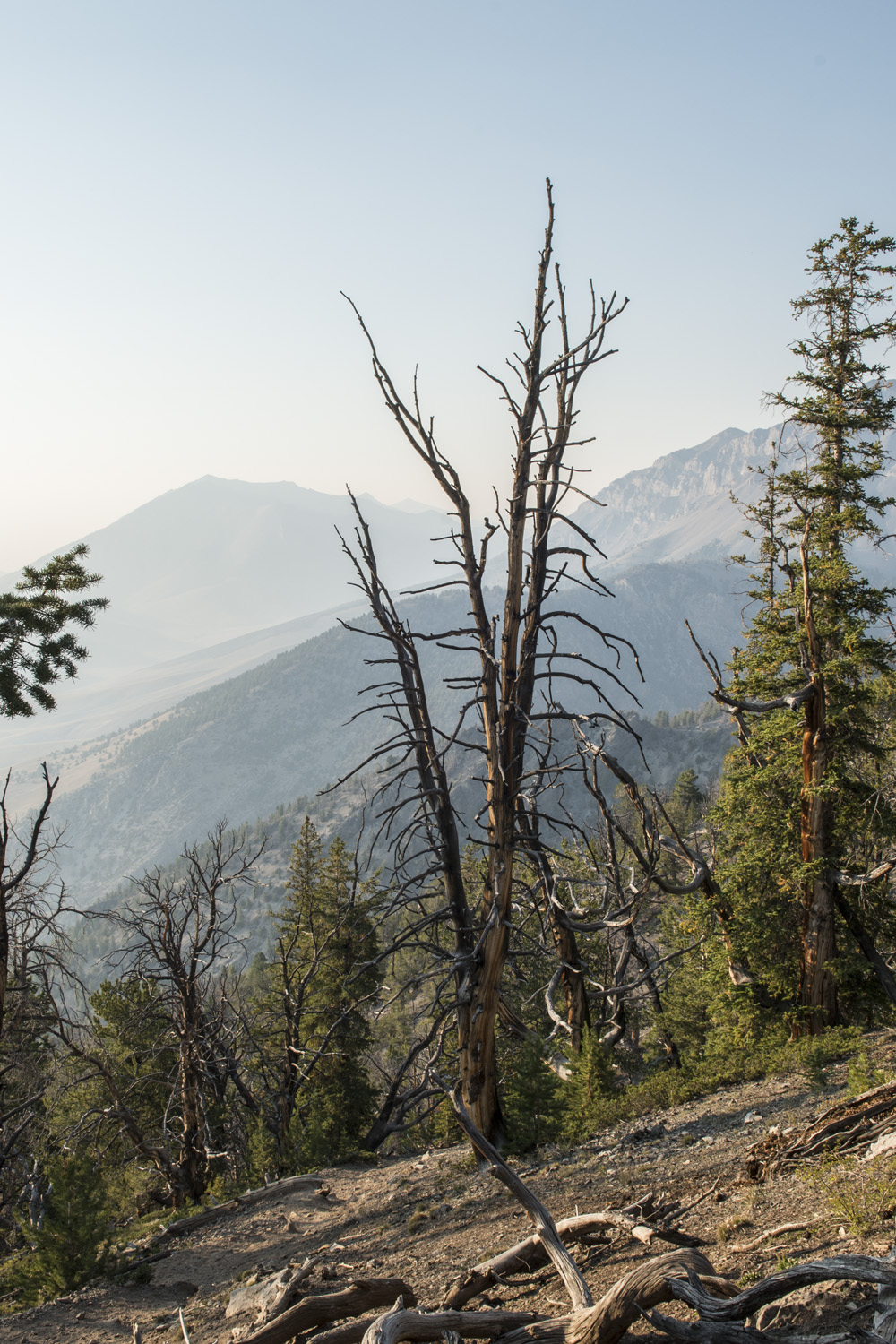
After an amazing week of seeing the Great American Eclipse from the summit of Mount Borah and then Great Basin National Park, I headed off to my next destination; Bryce Canyon National Park. Much like the drive going to Nevada, driving back into Utah was equally remote feeling and desolate. It was about another 90 miles from Great Basin to the first town I would hit in Utah and I never saw a single other vehicle. Not one. Along this route I was driving up and over a series of small ridges with wide, flat valleys in between. With no trees at all on the landscape, I could see what seemed like forever. I was curious about how far these ridge lines were apart, so when I came up over one of them and I could see the next ridge in the distance I set my trip odometer. I picked a spot on the road that I could see on the next ridge and that would be where I checked the trip odometer to see how far it was. It was 14 miles. And of course I saw absolutely zero signs of any civilization whatsoever, aside from the paved road that I was on.


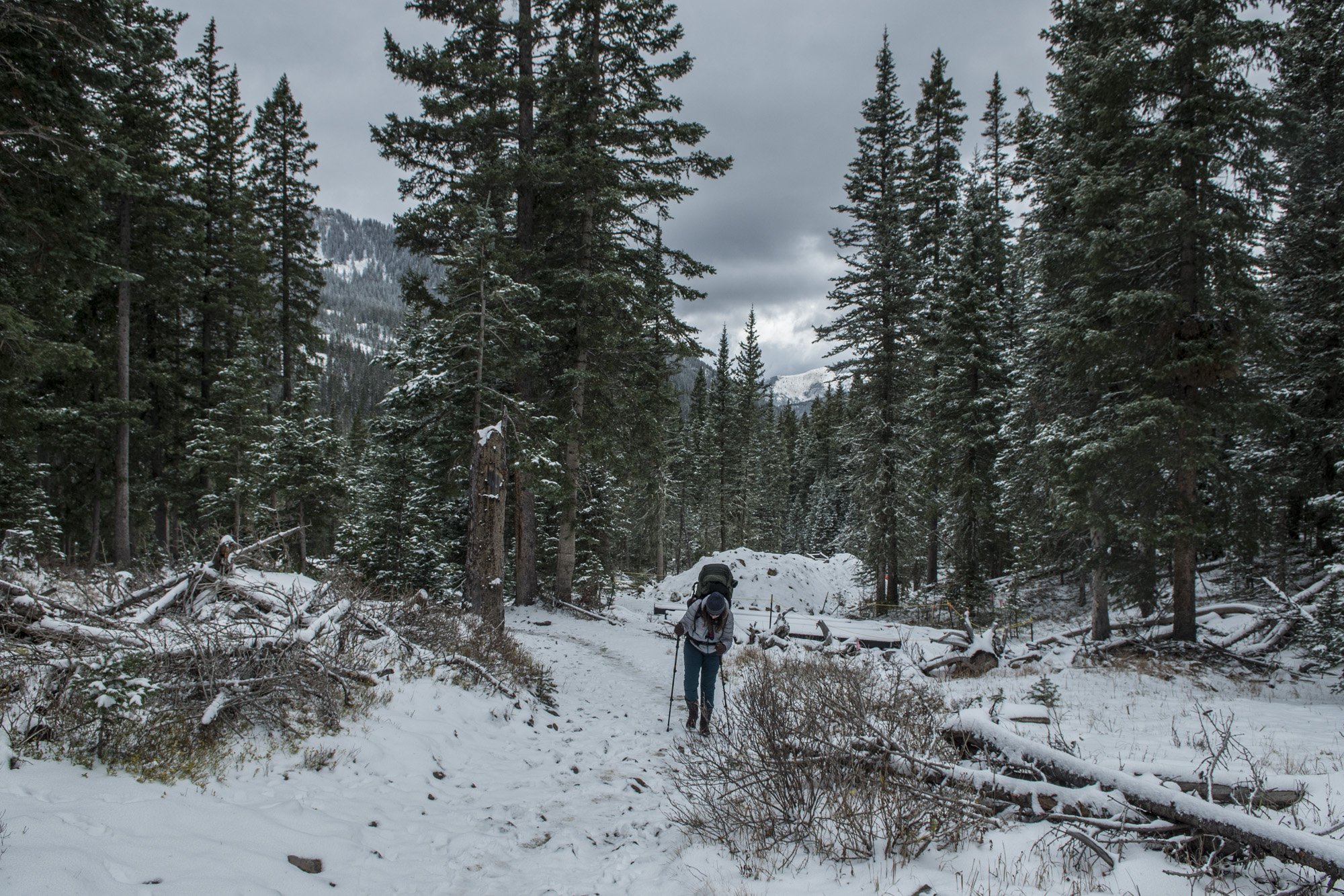
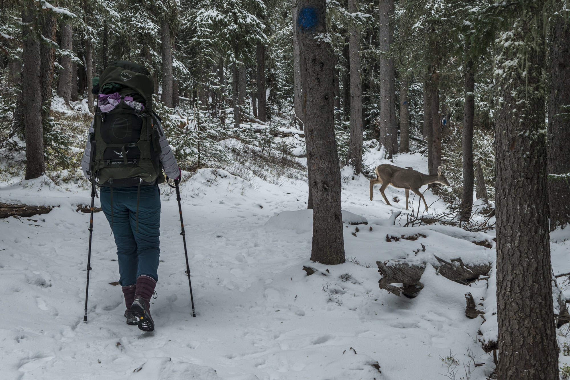
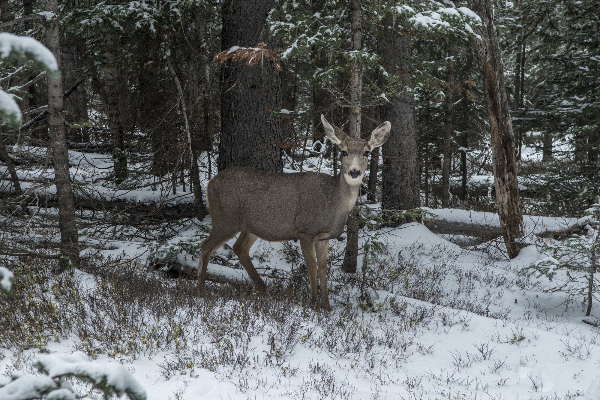
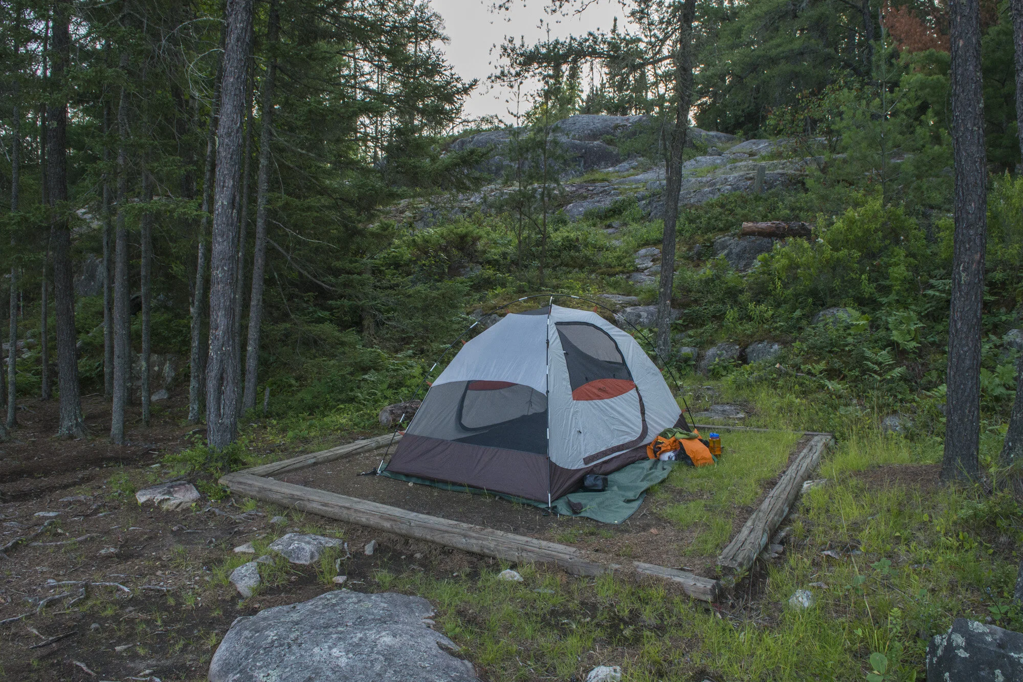
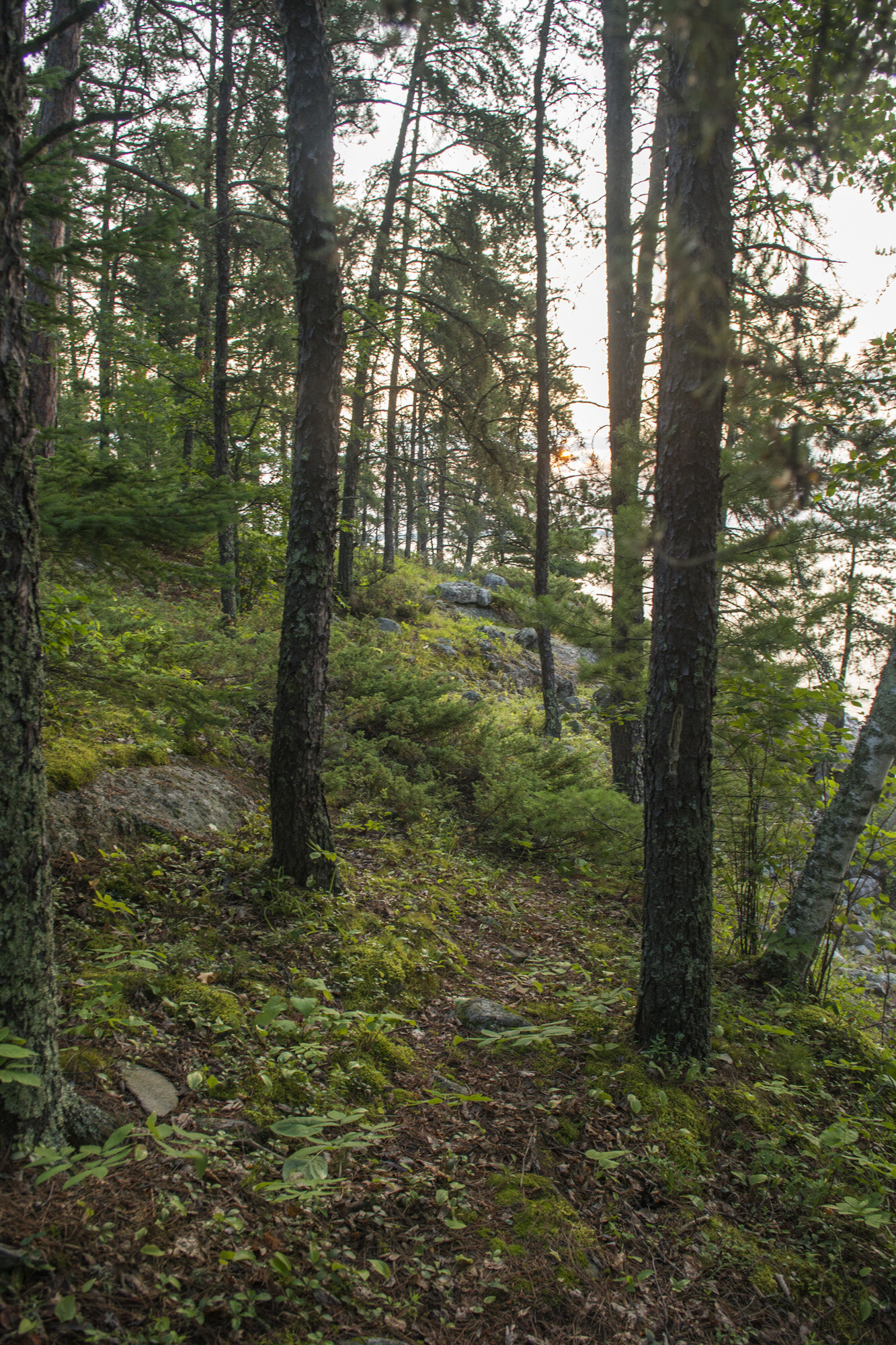
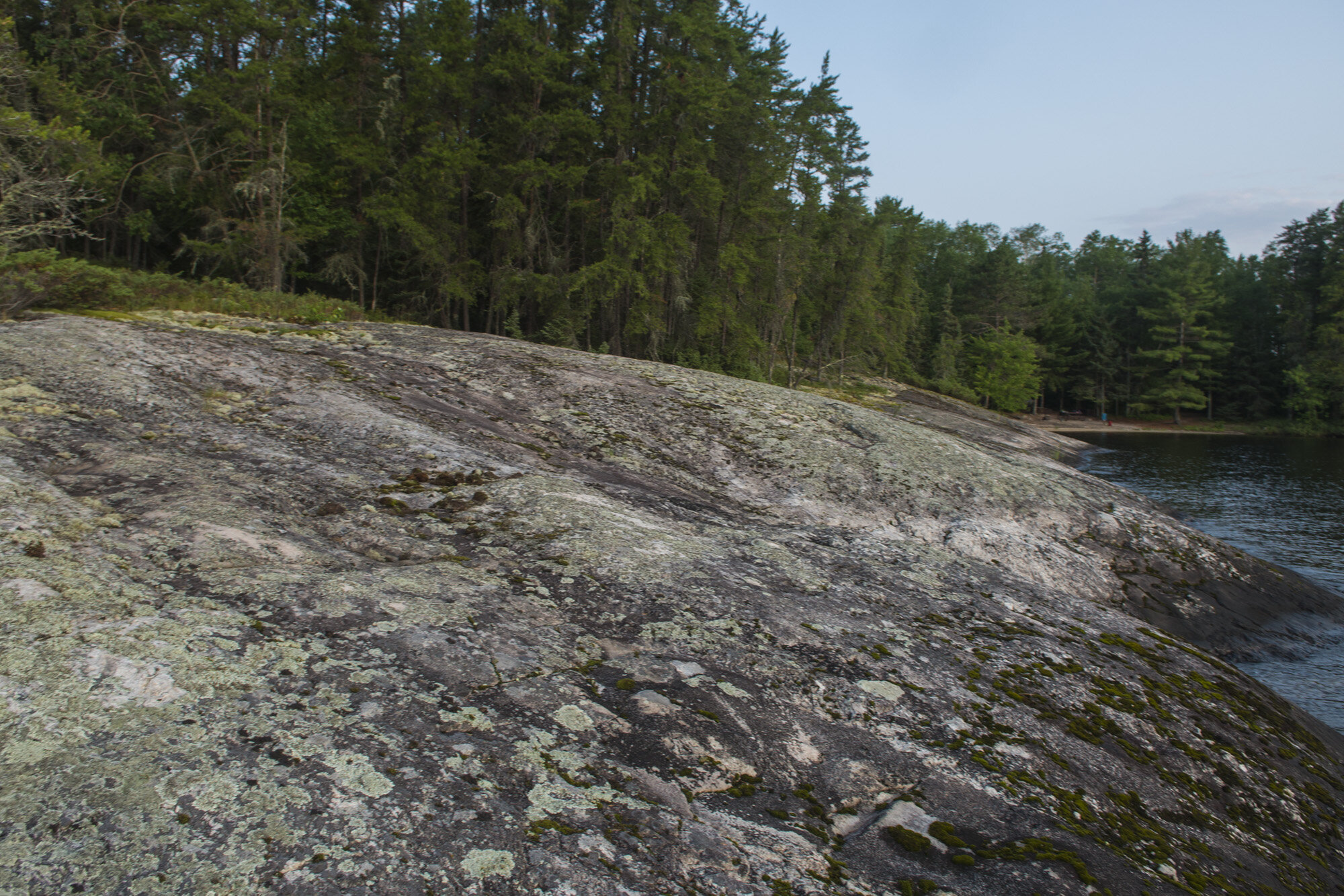
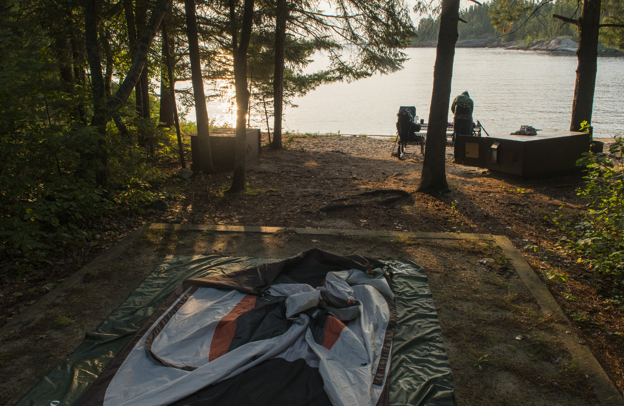
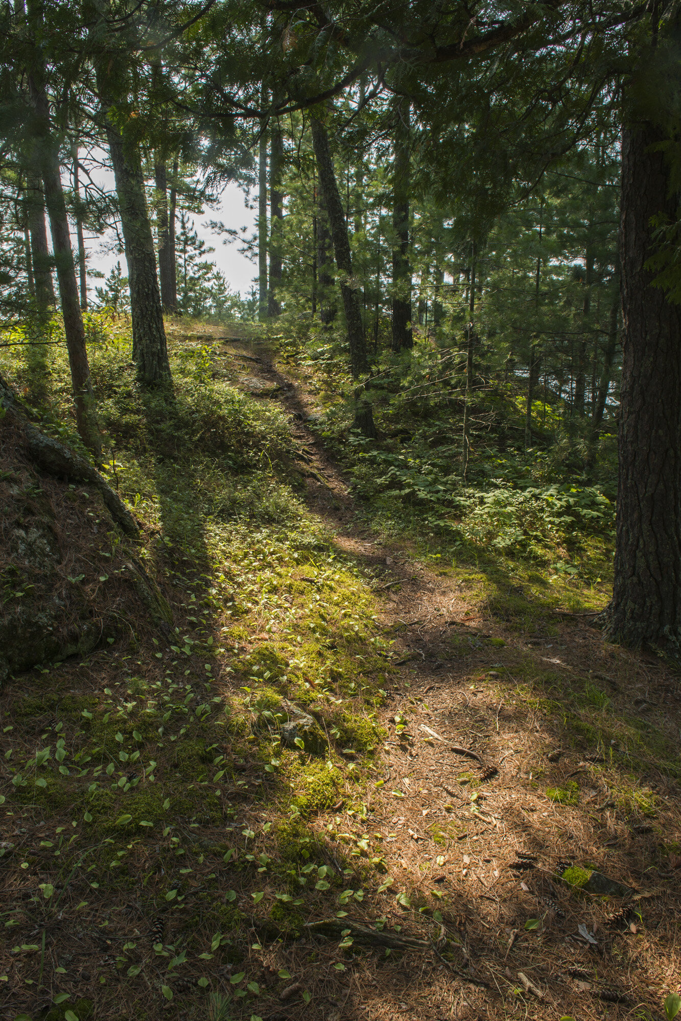
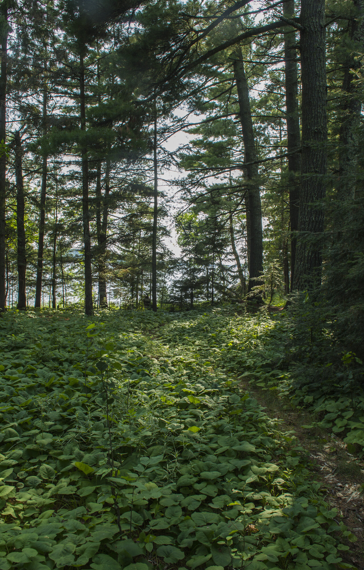
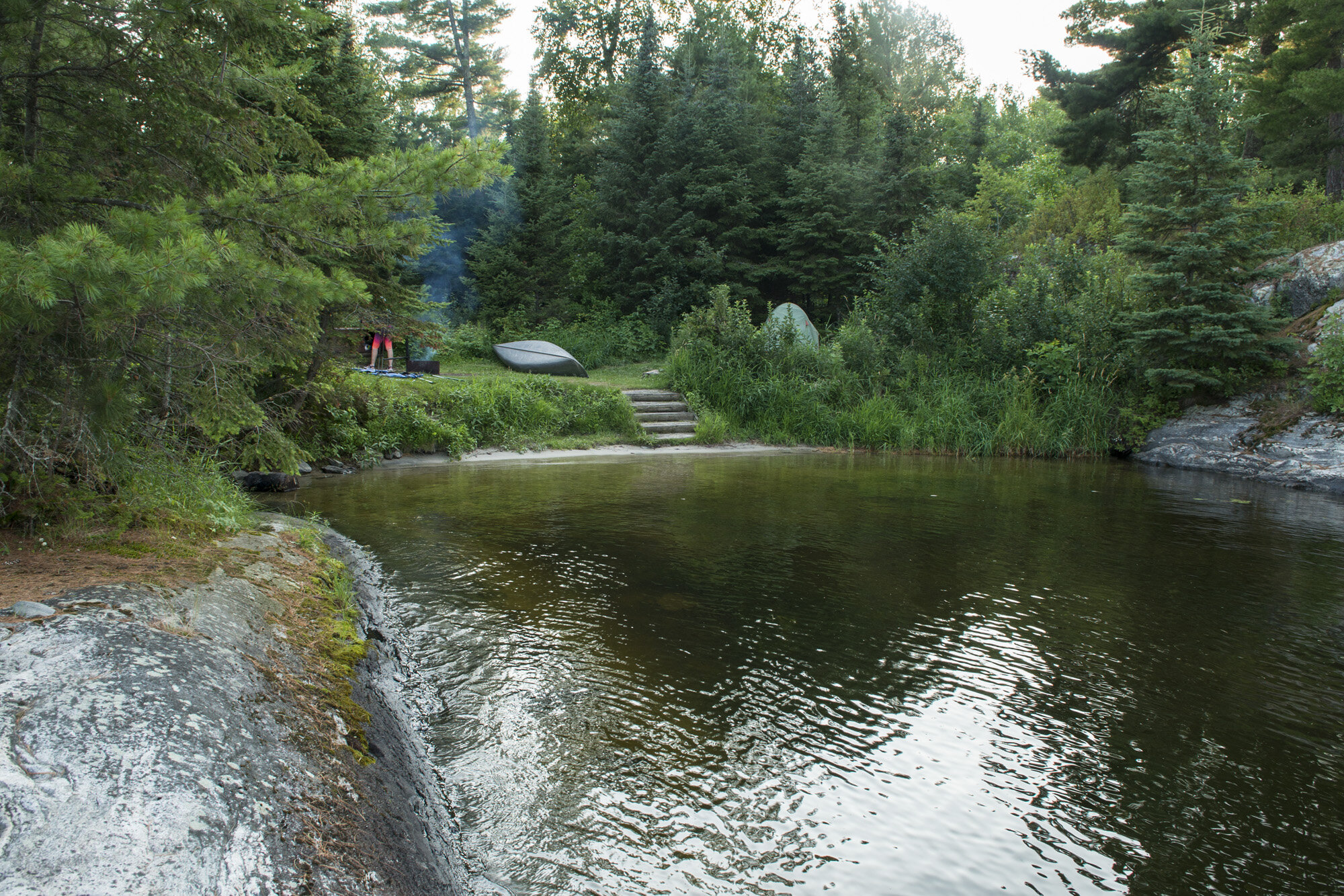
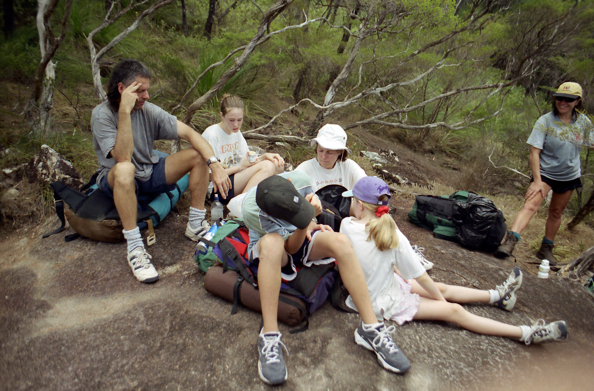
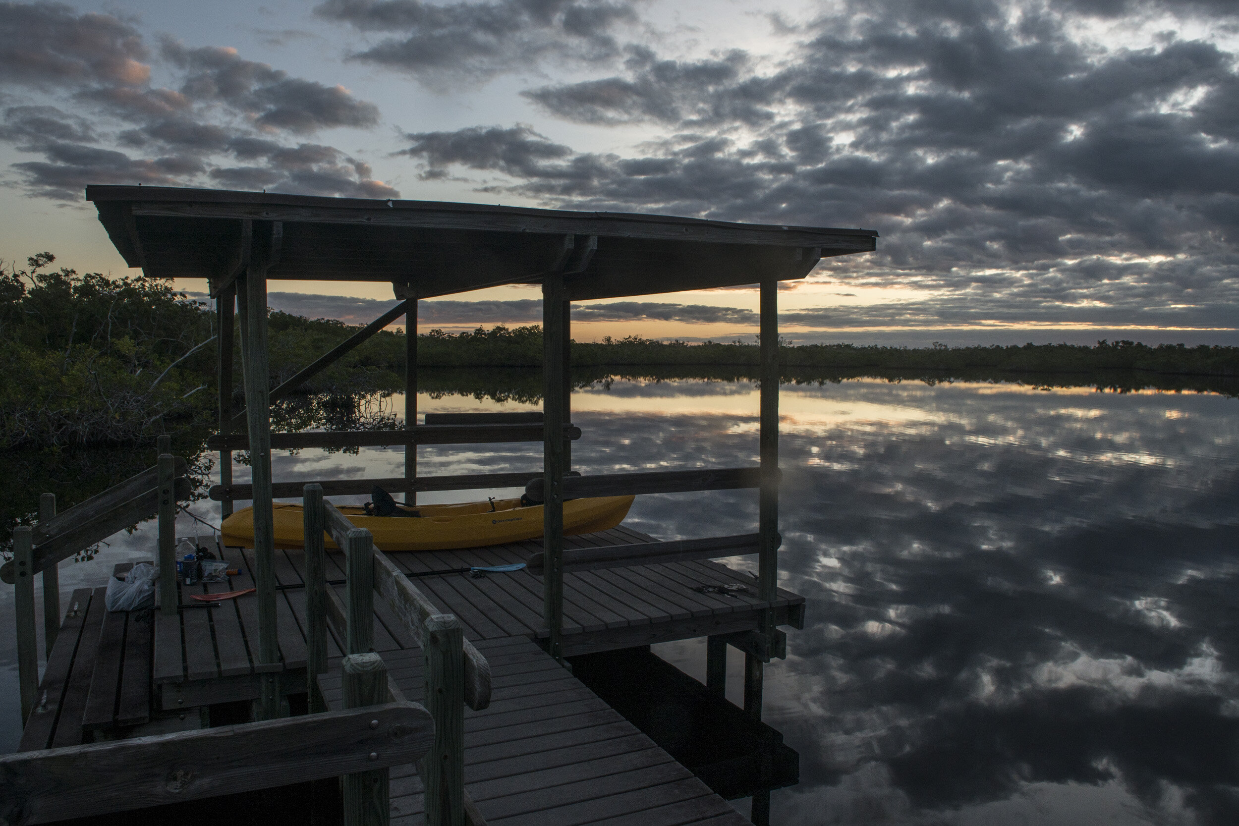
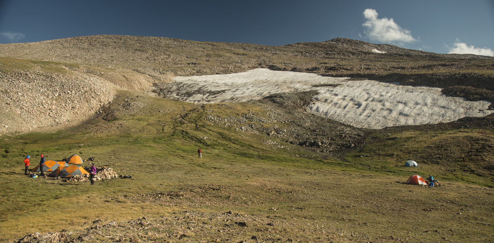
So I continued on into Utah, stopped for lunch, and kept going toward Bryce Canyon, crossing route 15, and driving through some really cool looking red rock country. About four hours after leaving Great Basin, I arrived at Bryce Canyon. From the road there’s not really a lot of stunning landscape to see as the canyon is not visible from the road. My first priority was to hopefully find a camping spot. So I rolled into the Sunset Campground, which is walking distance to the amphitheater. Luckily they still had just a few spots left so I was able to snag one. The campground must’ve sold out quickly because as I was setting up my tent, one of the campground attendees stopped at my site and asked if I would be willing to share with a couple that were looking for a spot. My site had plenty of room, so I didn’t mind. They were a younger couple from Europe and set up at the back of the site. Once I was done setting up camp I wanted to go see the main attraction: the amphitheater. 

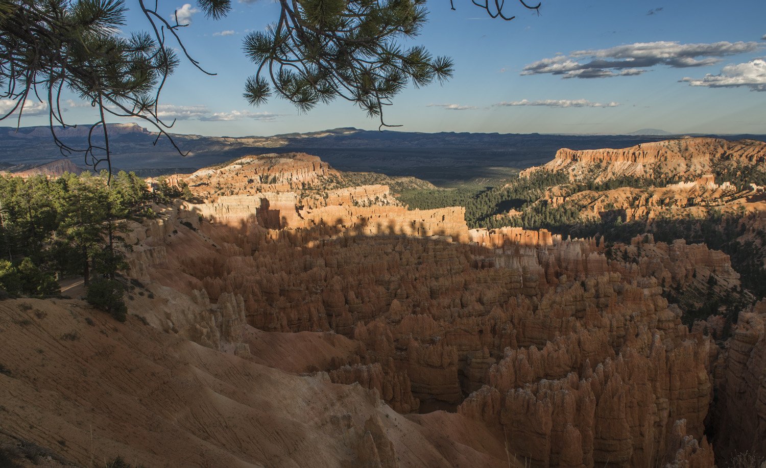
First view of the Amphitheater
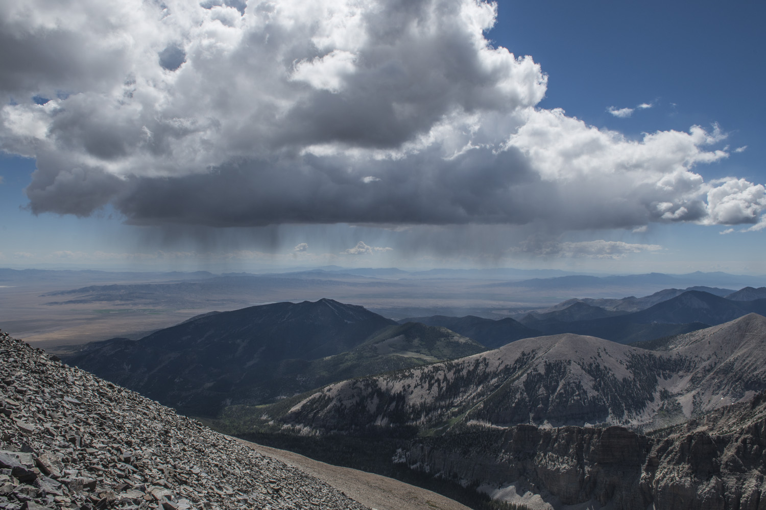
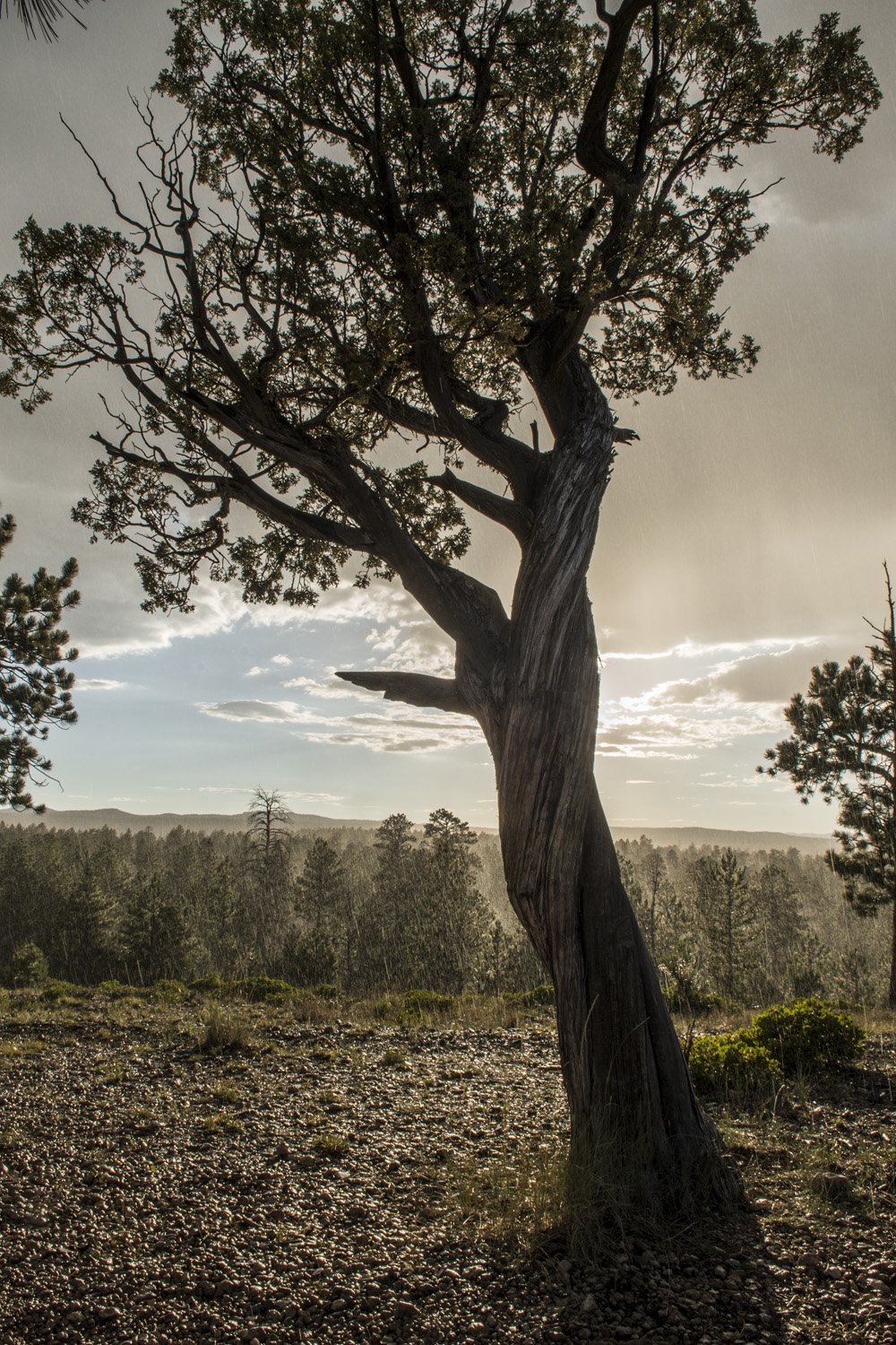
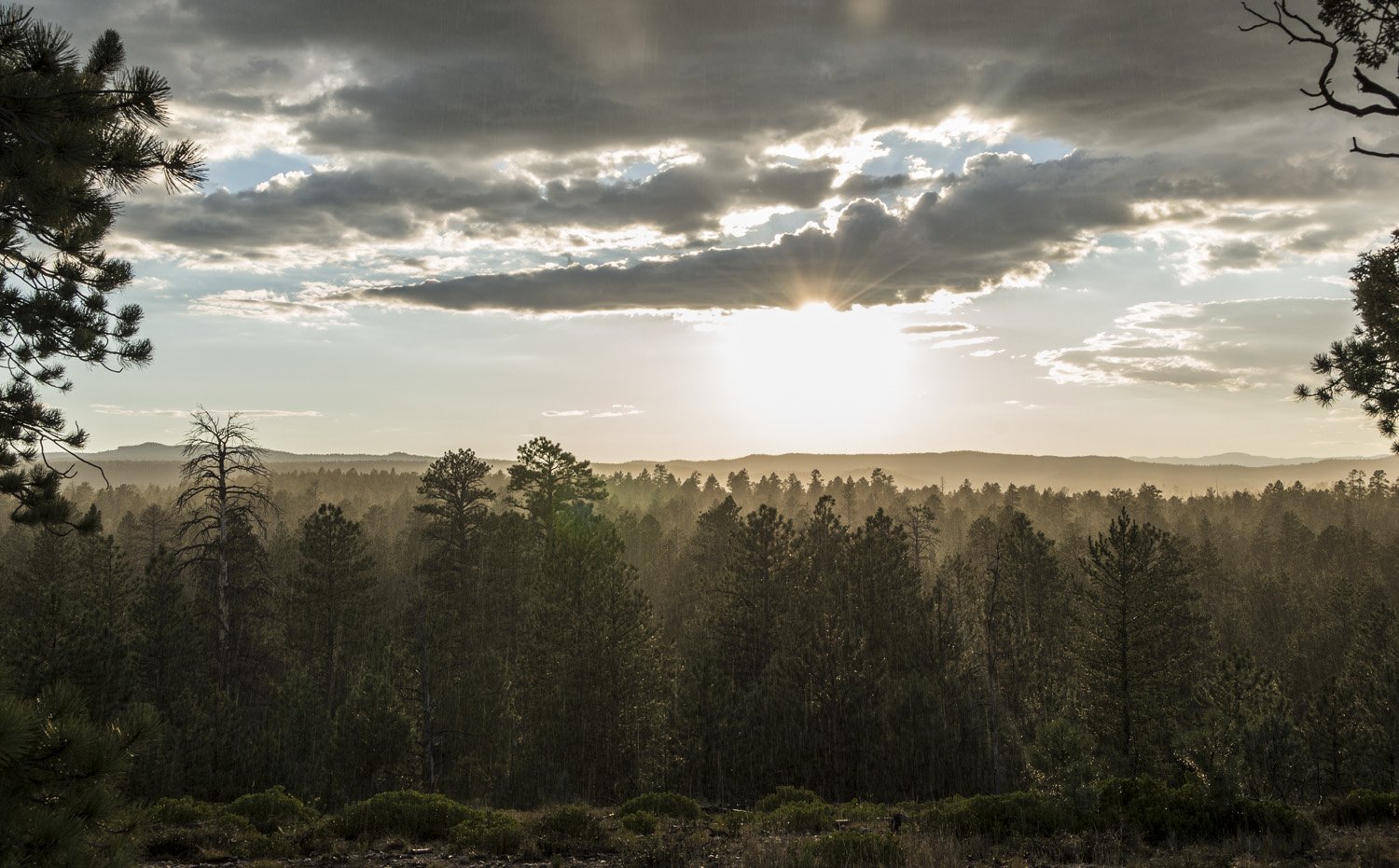
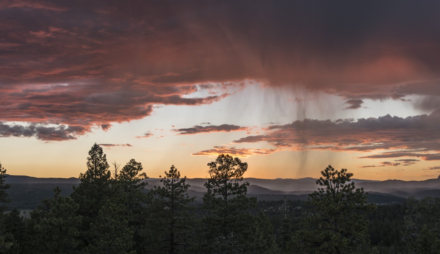
A sunny rain storm

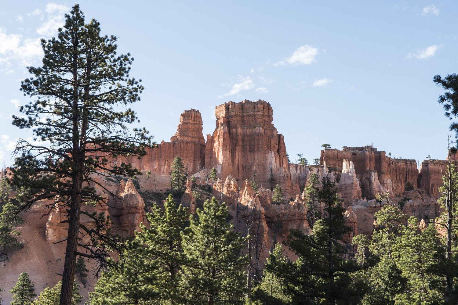
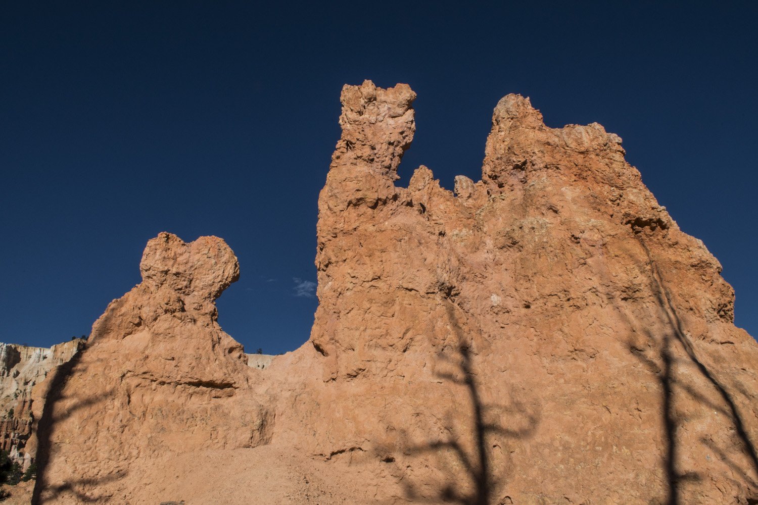
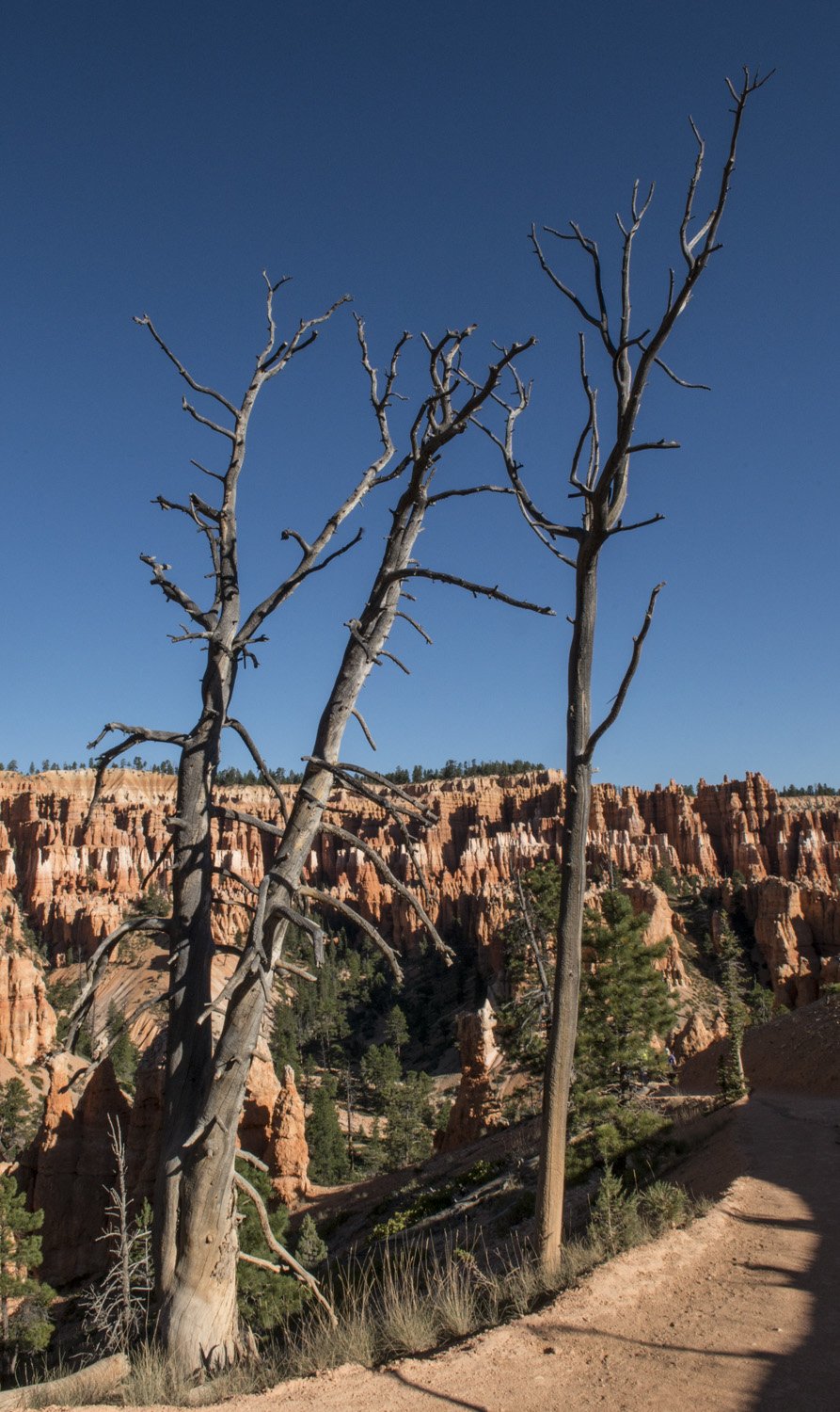
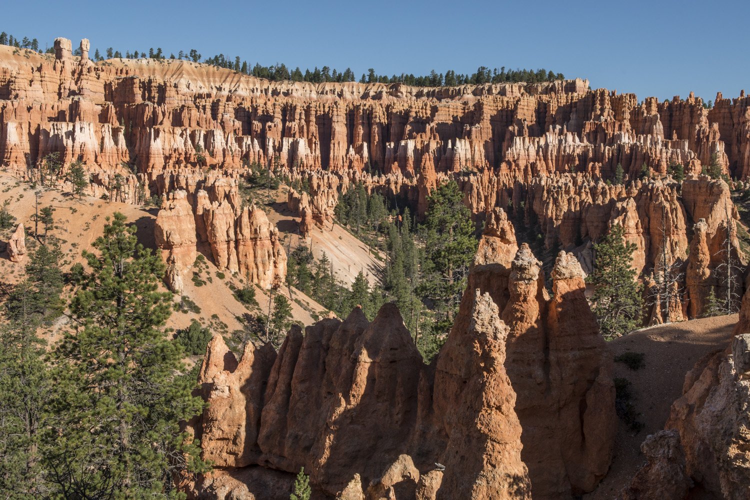
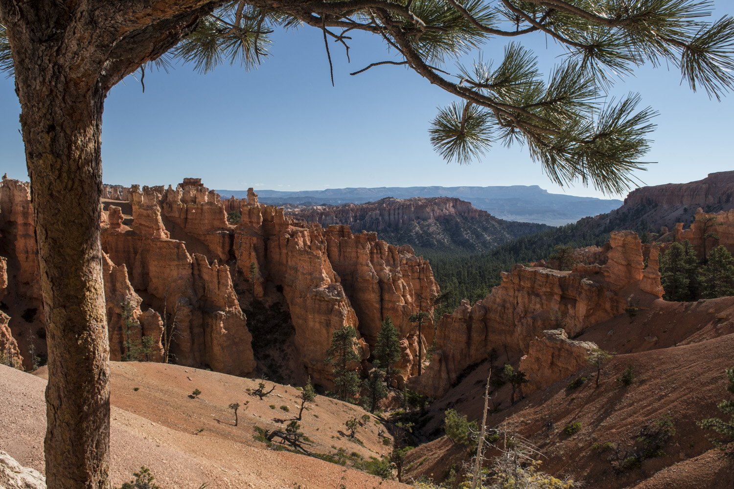
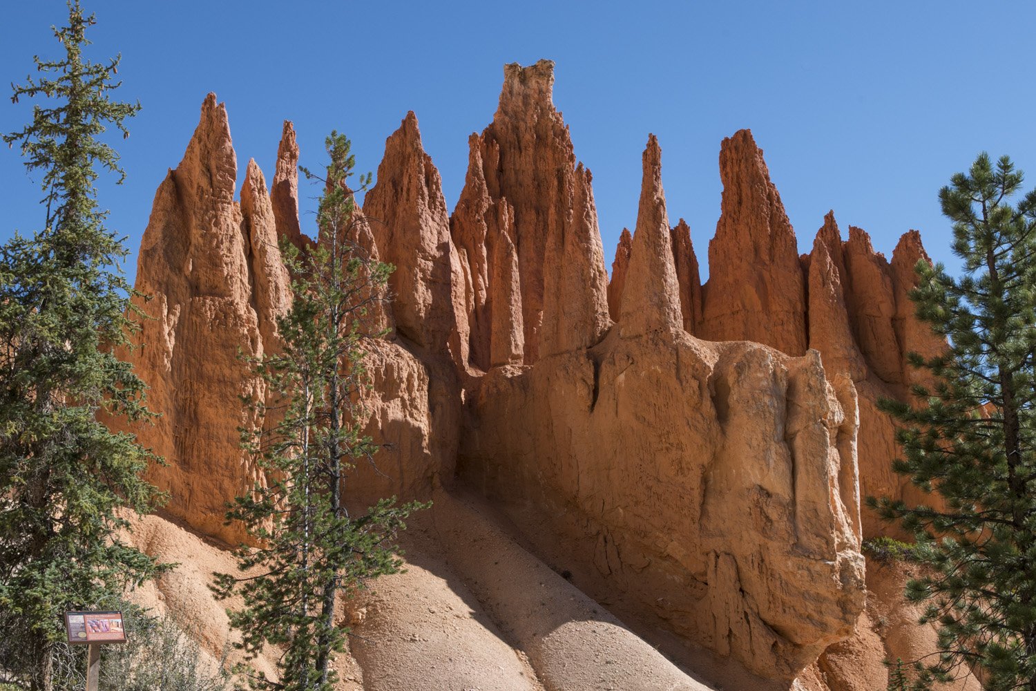
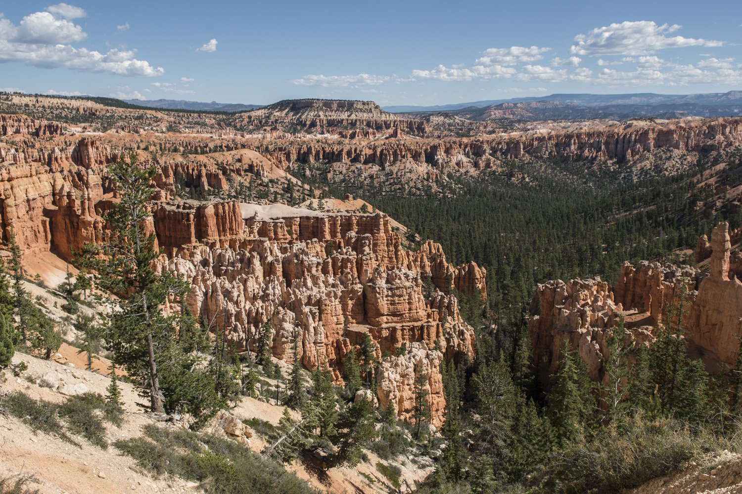
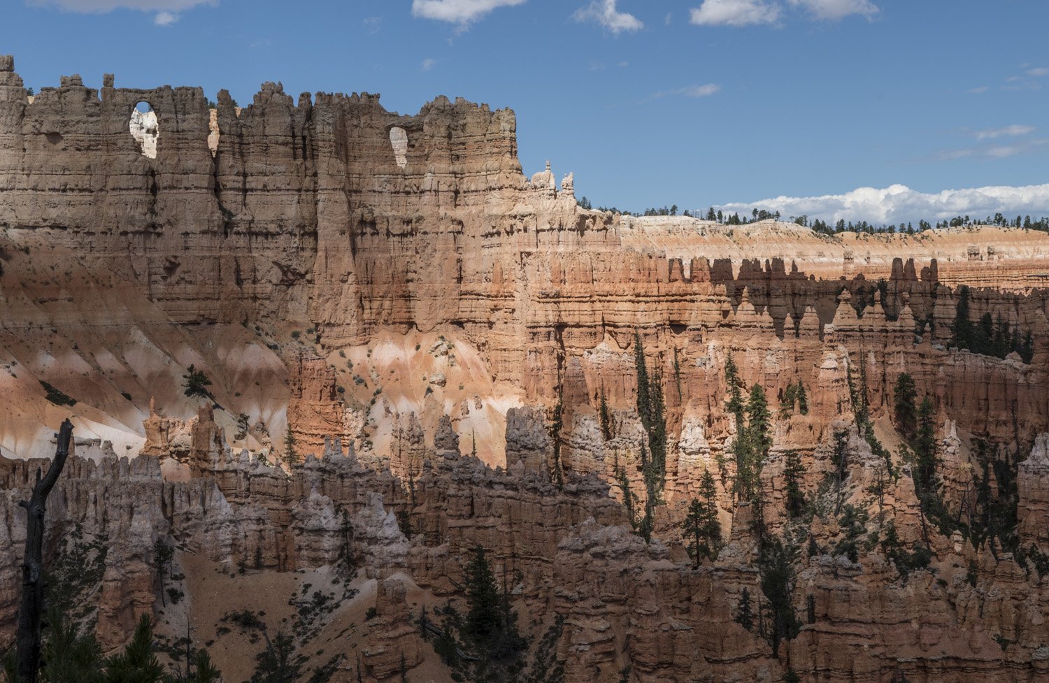
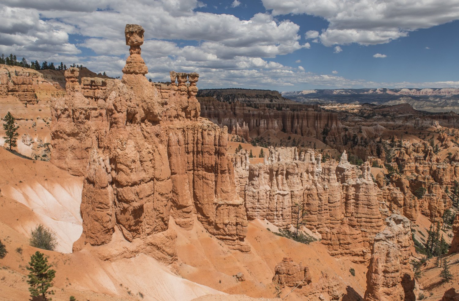
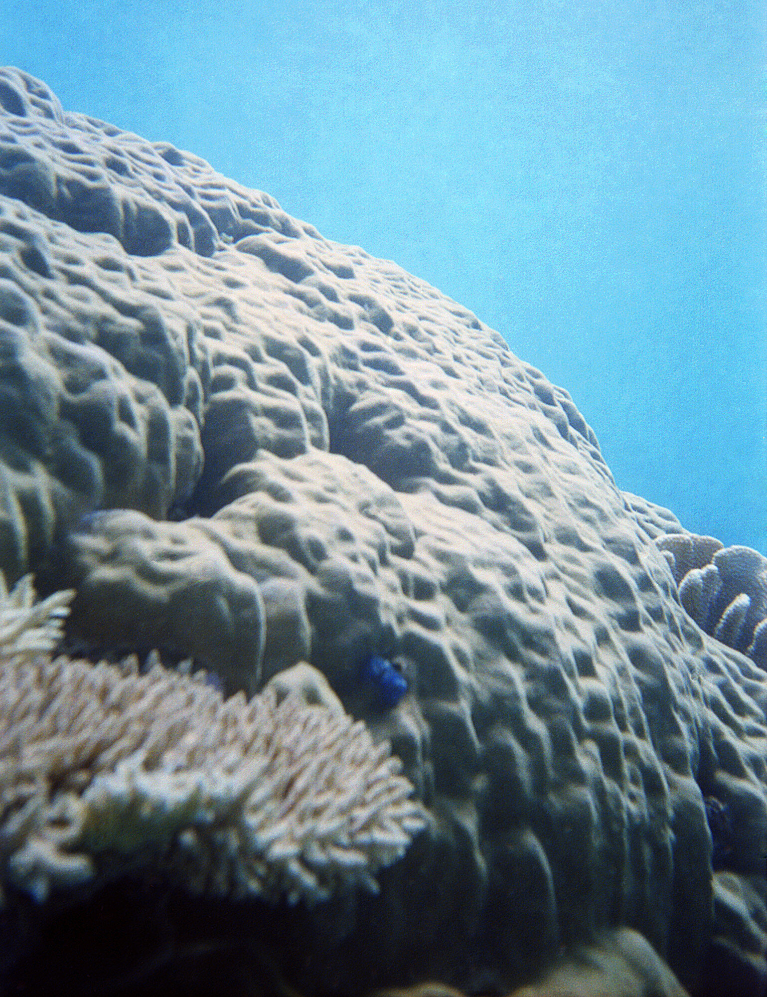
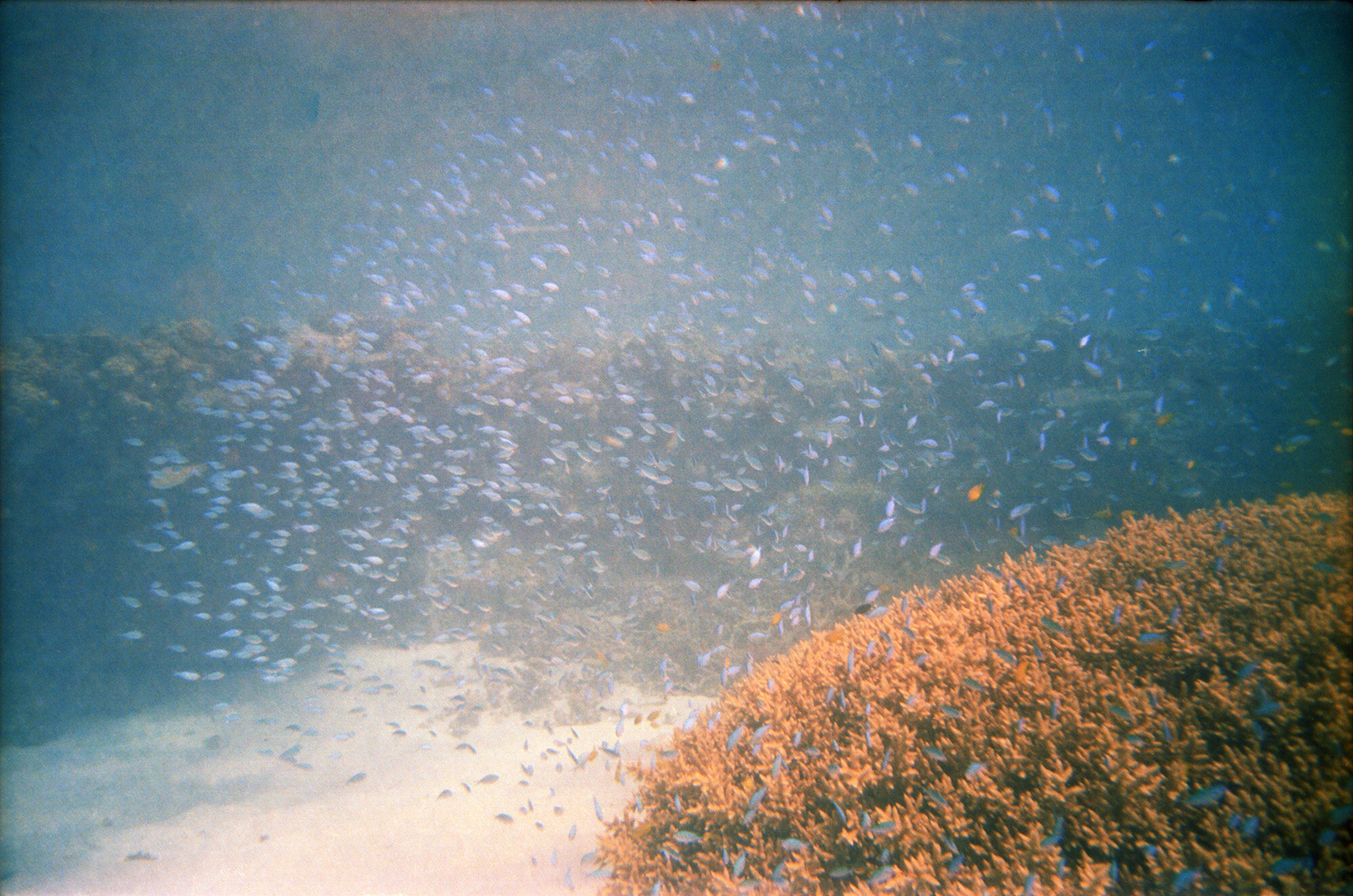
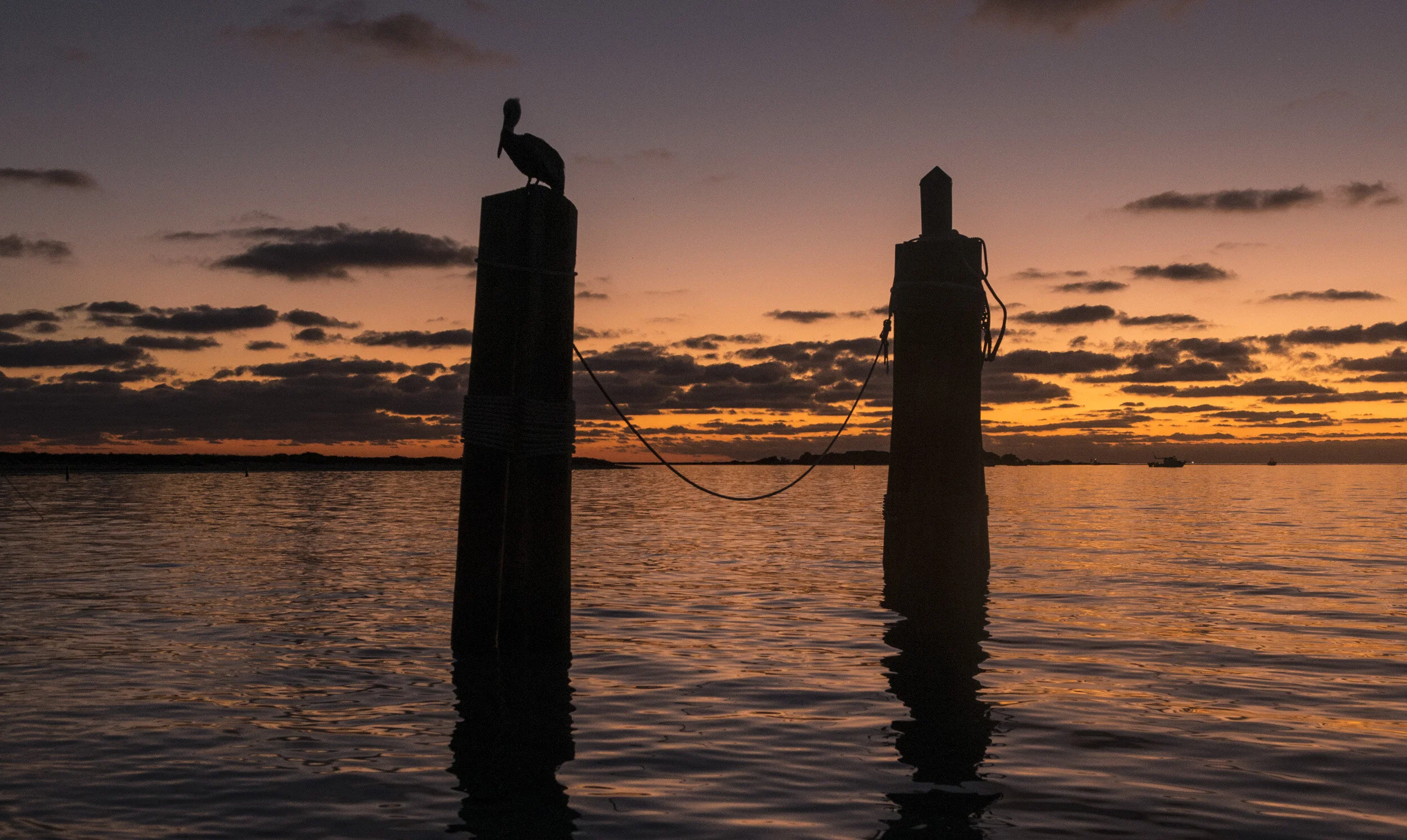
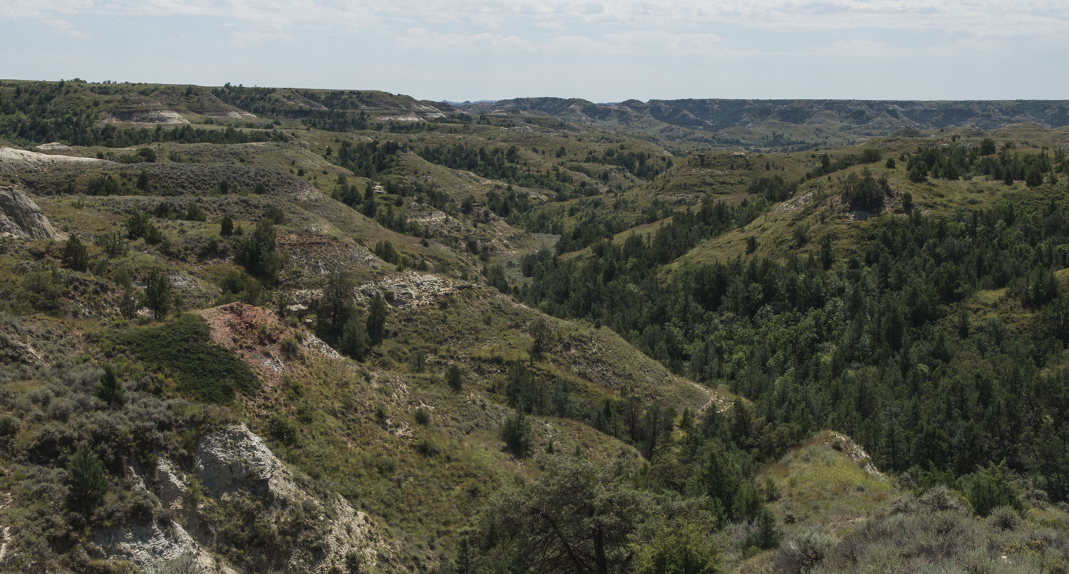
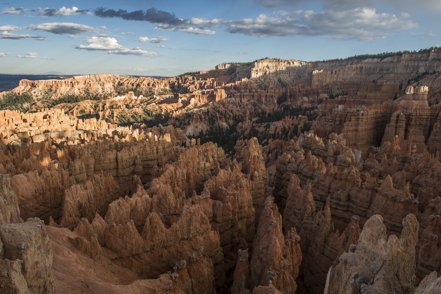
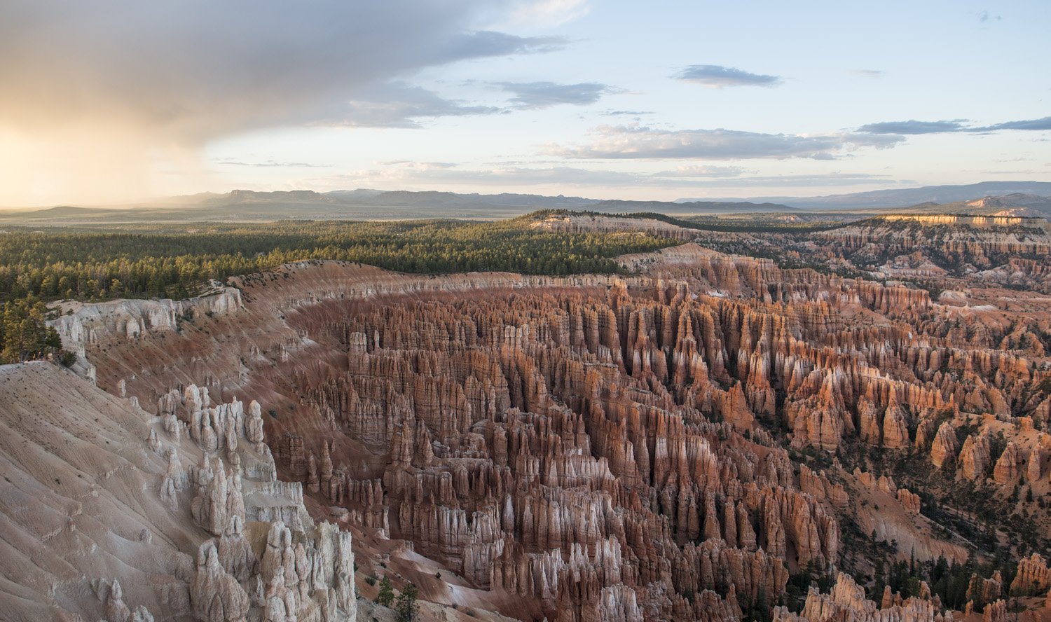
It was starting to get late in the day so I wanted to make sure I saw it before sunset. It was just a short walk from the campground across from the main park road. I tried not to look at it until I was right up to the rim. There are only a small handful of sites that I’ve seen that I can say literally took my breath away, and the Bryce Canyon amphitheater is one of them. It’s almost too much to take in at first. A huge semi circular canyon full of otherworldly looking rock spires (known as hoodoos). It seems both smaller and larger than you think it would be. The scale of it is hard to wrap your head around. It’s hard to tell exactly how tall the hoodoos are, until you realize the little bits of green you see at the bottom of them are full grown pine trees. 

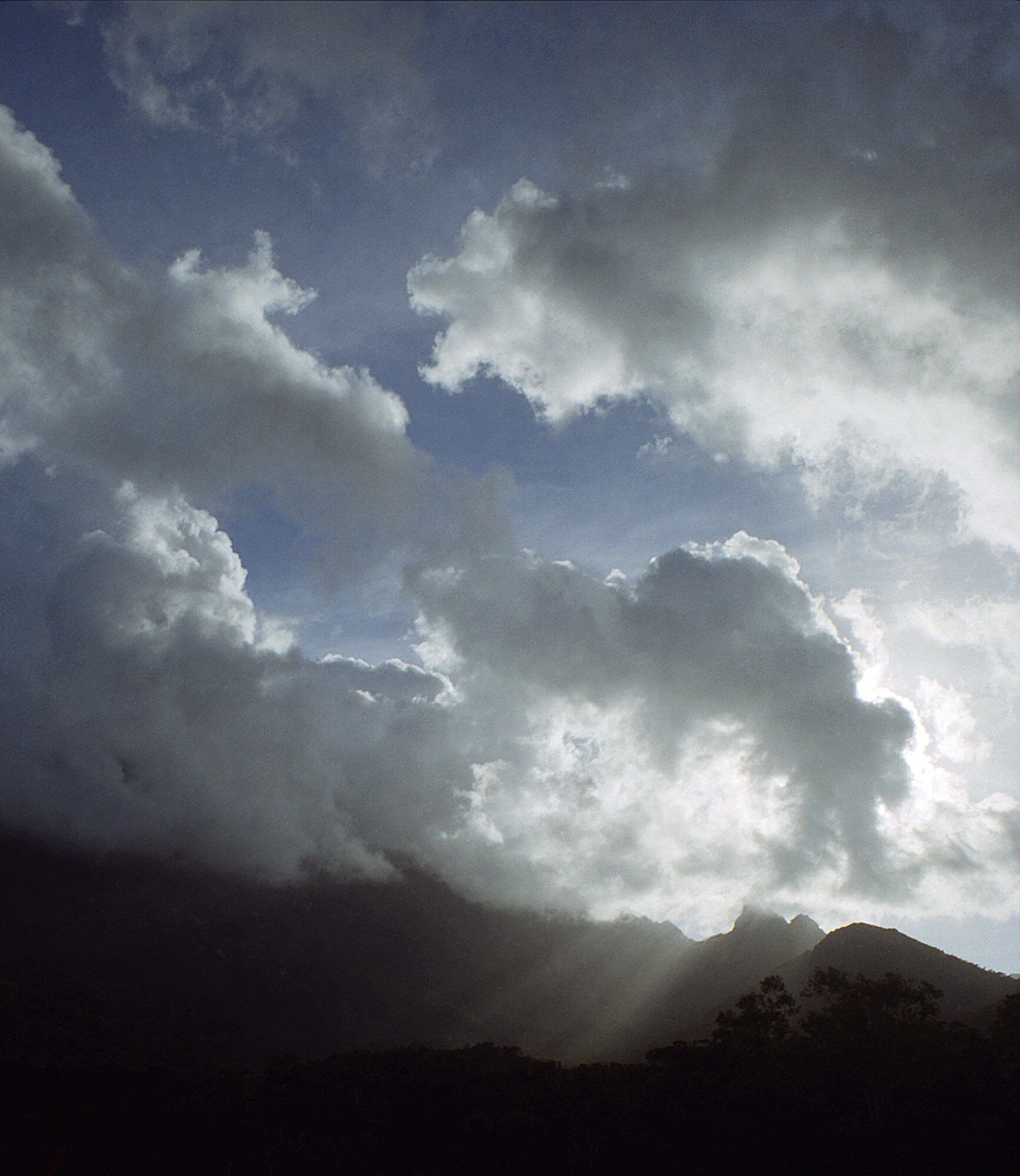
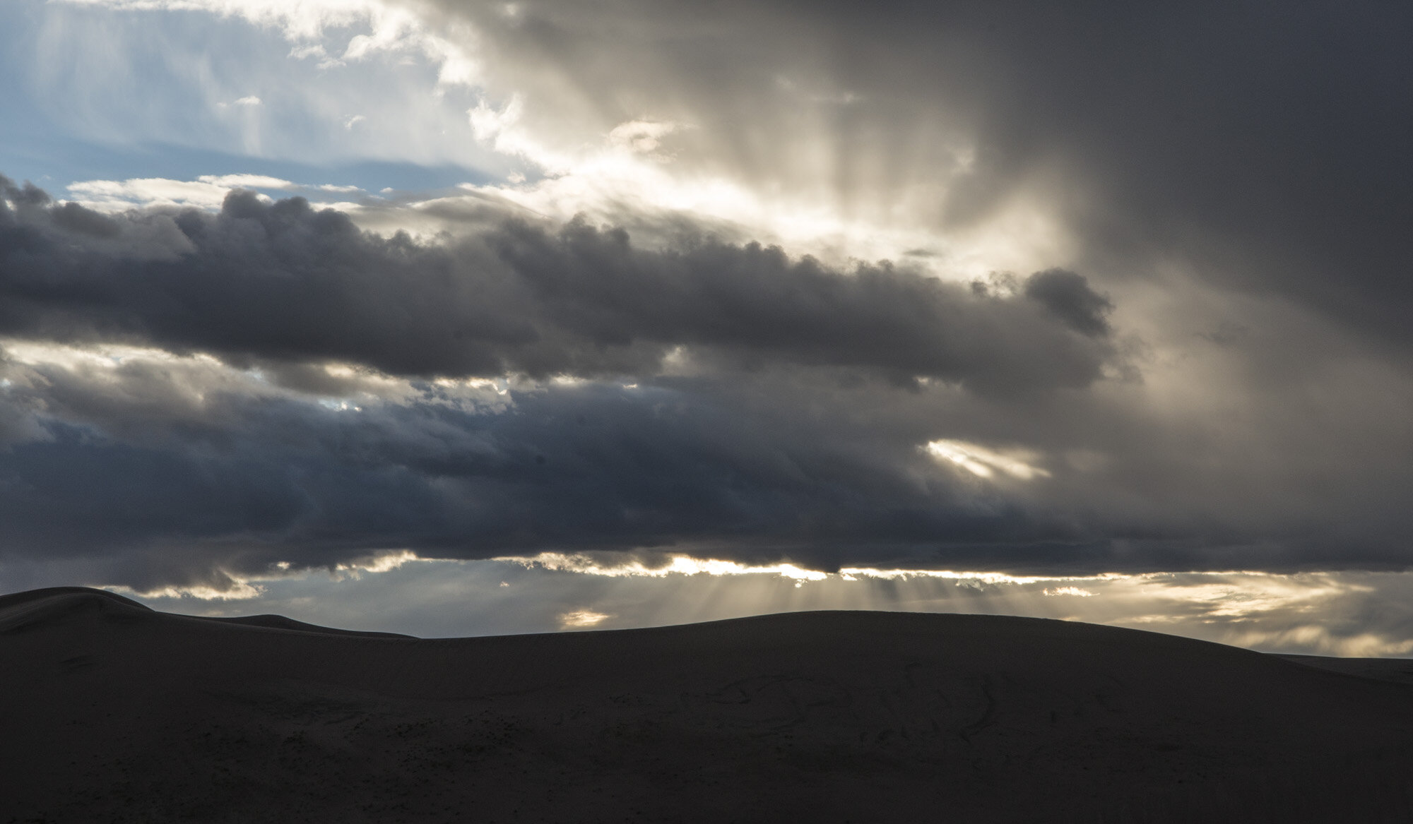
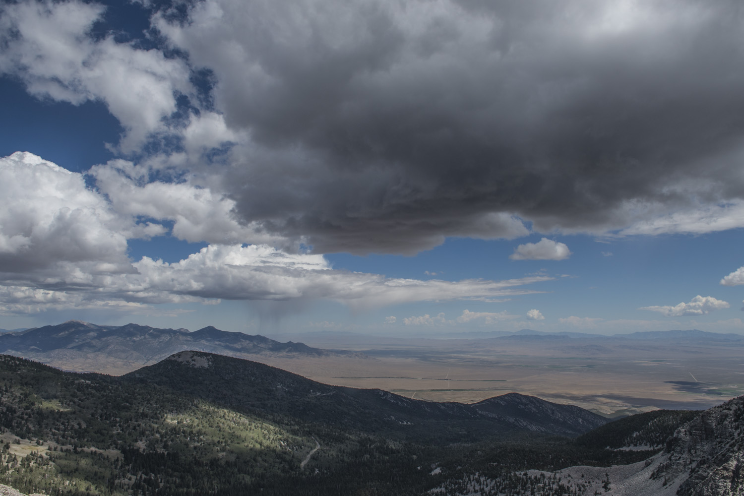
After staring in awe for a while I looked around to the west and saw a patch of storm clouds approaching. I could see the rain as it moved across the forest. On the other side of the storm clouds the sky was clear again and the late day sun was shining underneath the clouds and lighting up each raindrop as it fell to earth. I didn’t have any rain gear with me so I ducked under a tree as the rain reached the canyon rim. The illuminated rain was beautiful. A sight I don’t think I’d ever seen before. As I stood there under the tree watching nature‘s light show it occurred to me that it was going to be sunset shortly. Looking back at the rim I could see Inspiration Point, one of the canyon overlooks on the southern side of the amphitheater‘s rim. Judging by the angles it looked like that would be the spot to watch the sunset from. It was about three quarters of a mile from where I was to Inspiration Point and most of it was a slight uphill grade. I still had about 20 minutes before sunset so I decided to go for it. I started huffing it to Bryce Point. 

Nature’s light show

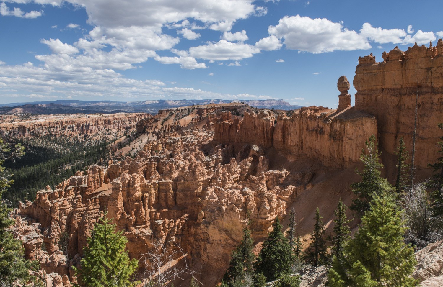
It was an easy walk along the well-worn trail along the rim to Inspiration Point, but I was a little winded as I had been anxious to get there so I didn’t miss the sunset. It was an equally dramatic view of the amphitheater, and with the warm tones from the setting sun washing over the formations, It was another surreal, awe-inspiring view.

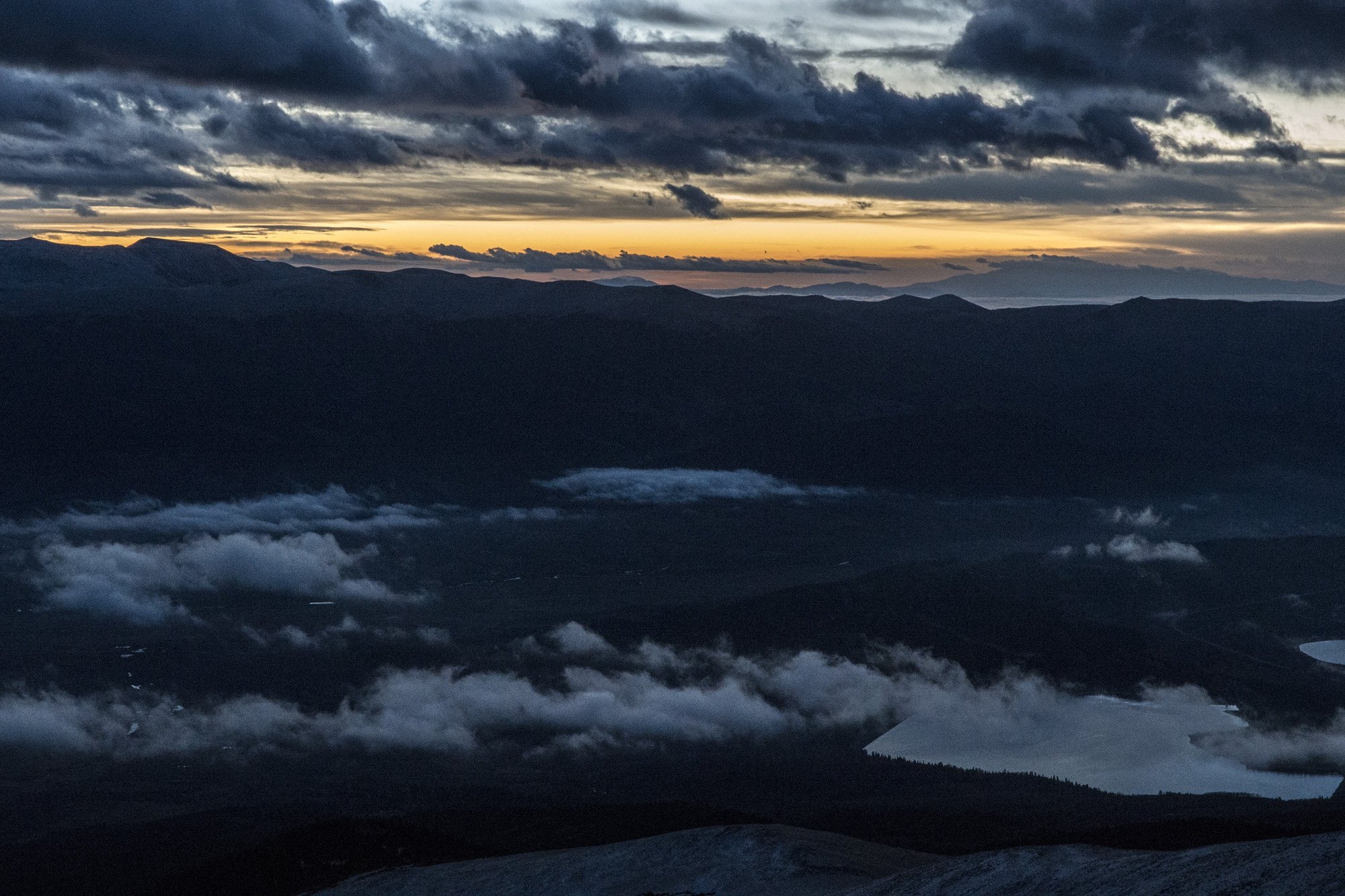
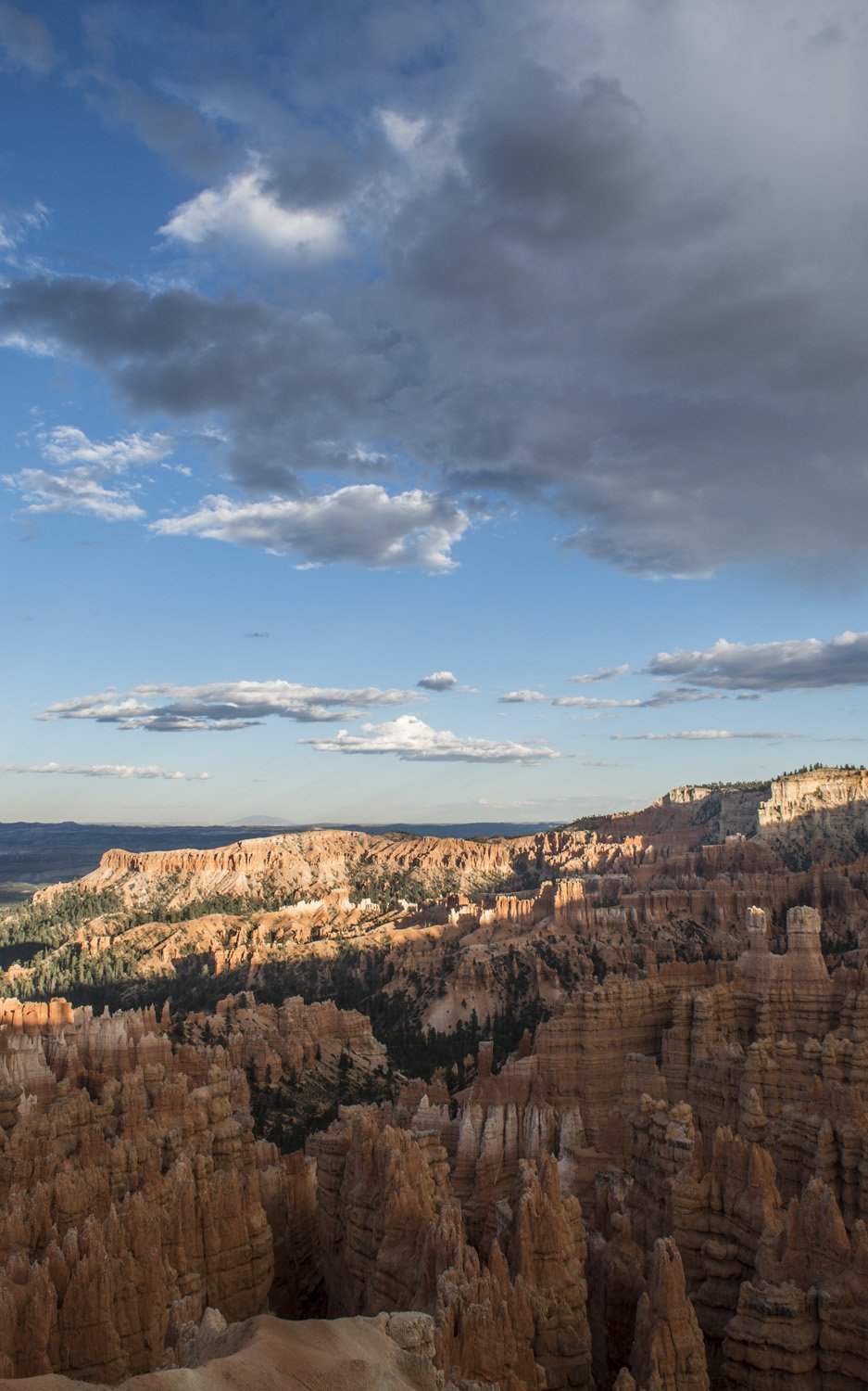
Panorama of the Amphitheater at dusk

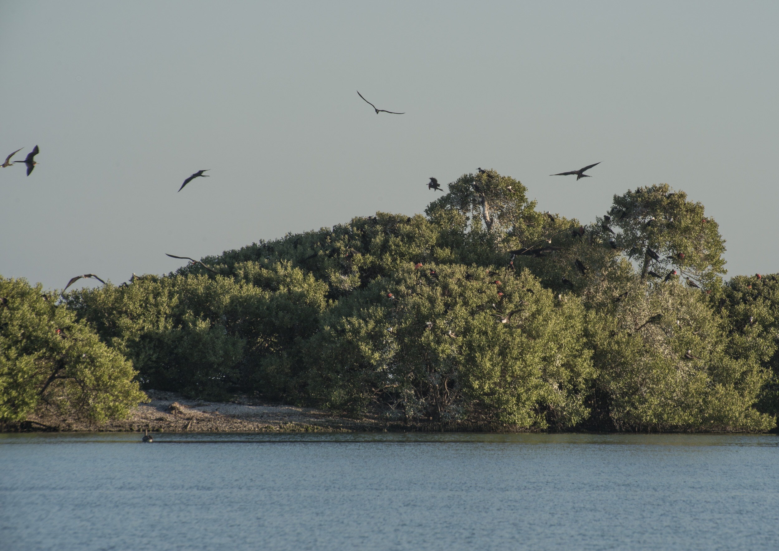
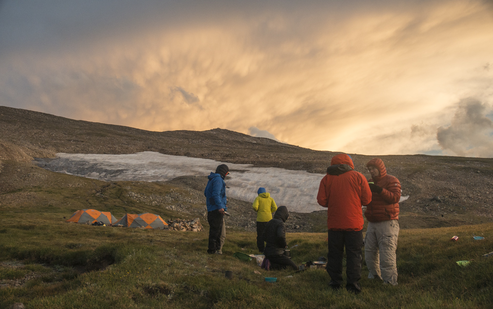
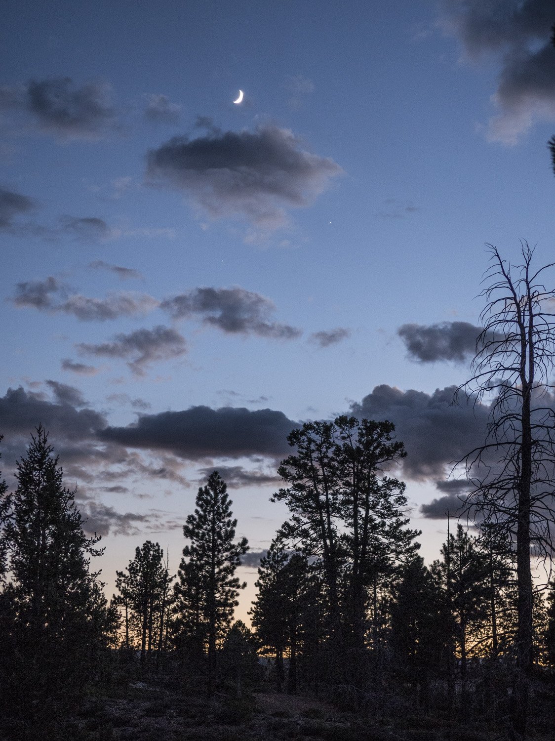
By the time I got back to camp it was getting dark. I started making dinner about the same time as my site mates, so I joined them at our one picnic table. We had some lovely conversation. Turns out they were in America to see the eclipse a few days prior. They had been in Oregon to see it. I told them about my adventure seeing it on Mount Borah. Before going to bed I looked up and noticed the night sky. Bryce Canyon is a dark sky park and it was full of stars.

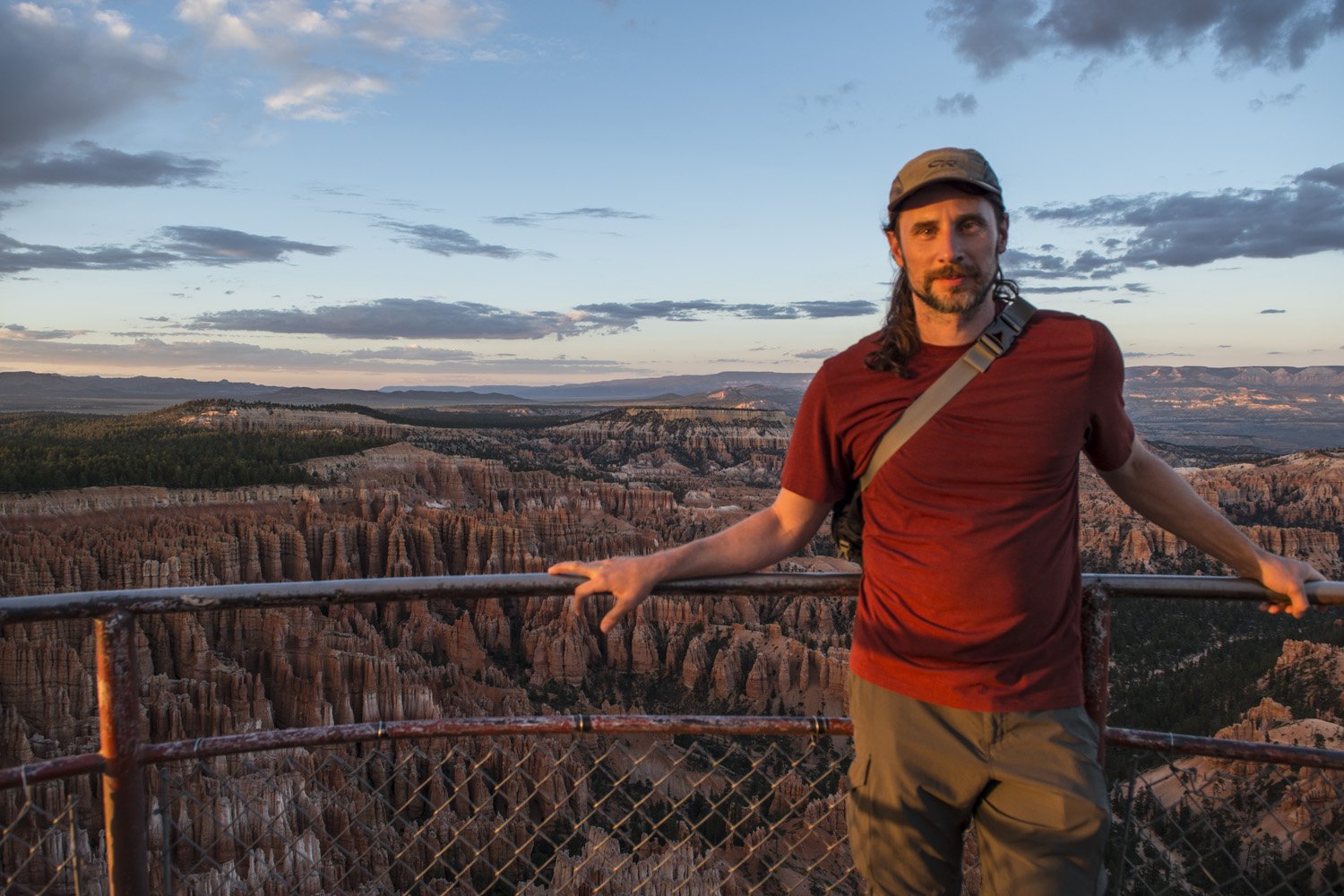
Taking in the view from Inspiration Point
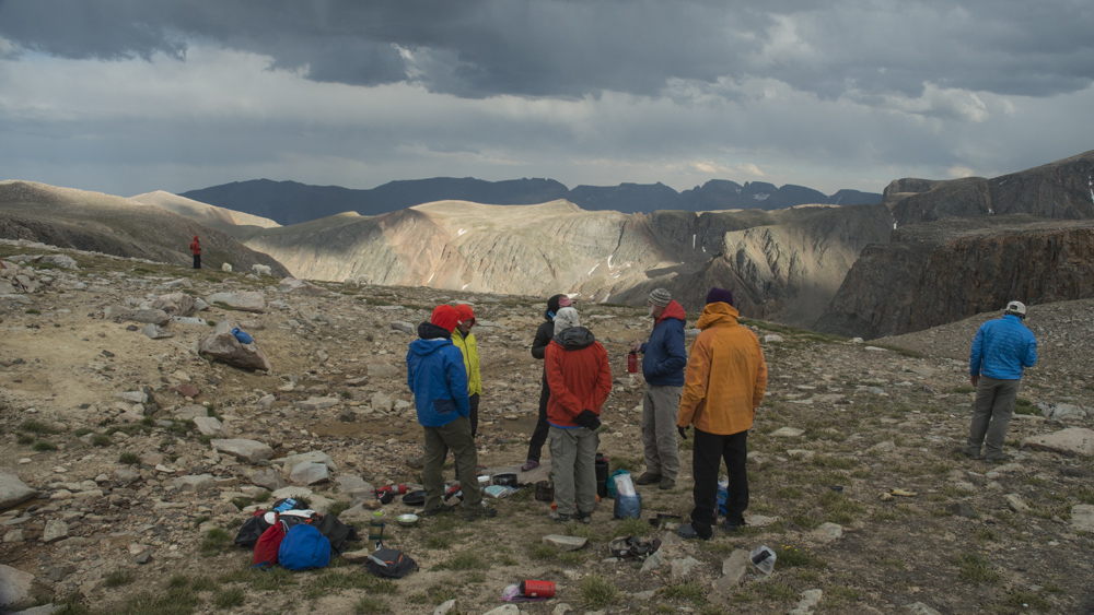
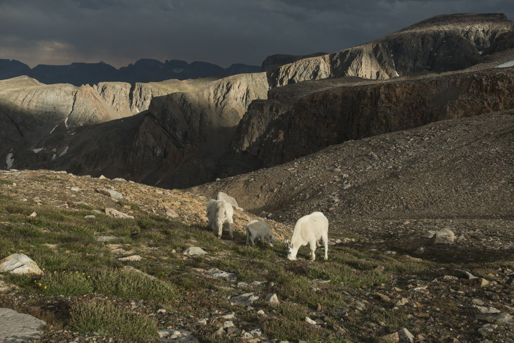
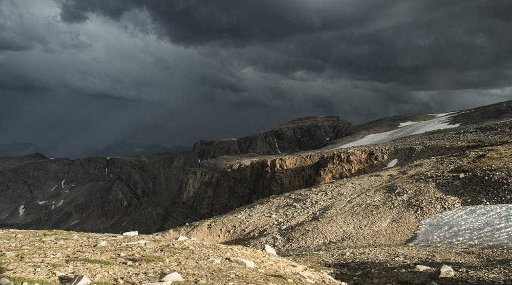
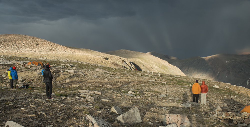
DAY ONE GALLERY:

DAY TWO:

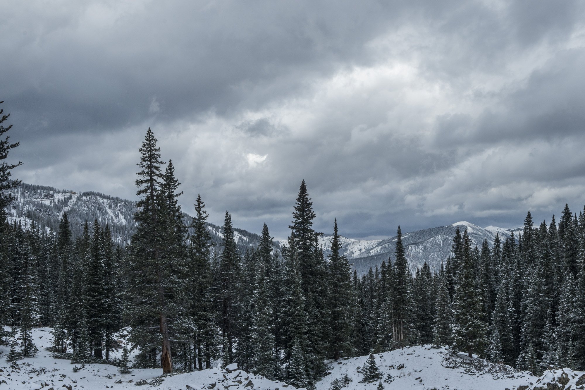
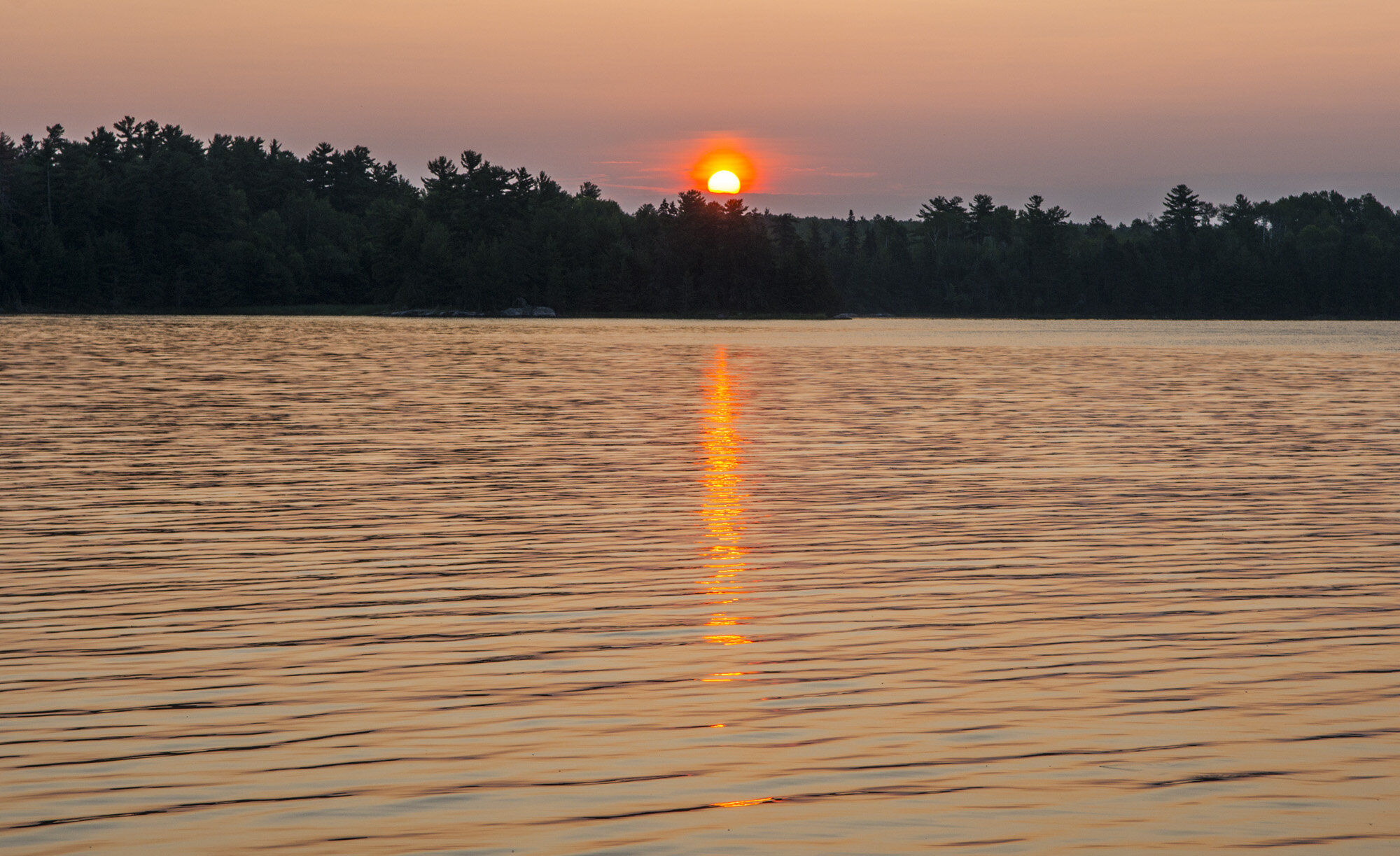
The next morning I made some breakfast and broke down camp. I was only spending one night in the park and I had a full day planned so I wanted to get the tent put away. It was surprisingly cold considering it was August. I was wearing my pull over and puffy coat. The elevation of Bryce Canyon is fairly high, between 8000 and 9000 feet, so the temperature can get quite low overnight. It still wasn’t quite sunrise yet so it hadn’t warmed up at all for the day. 

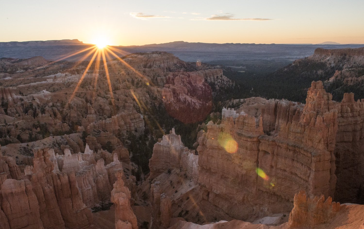
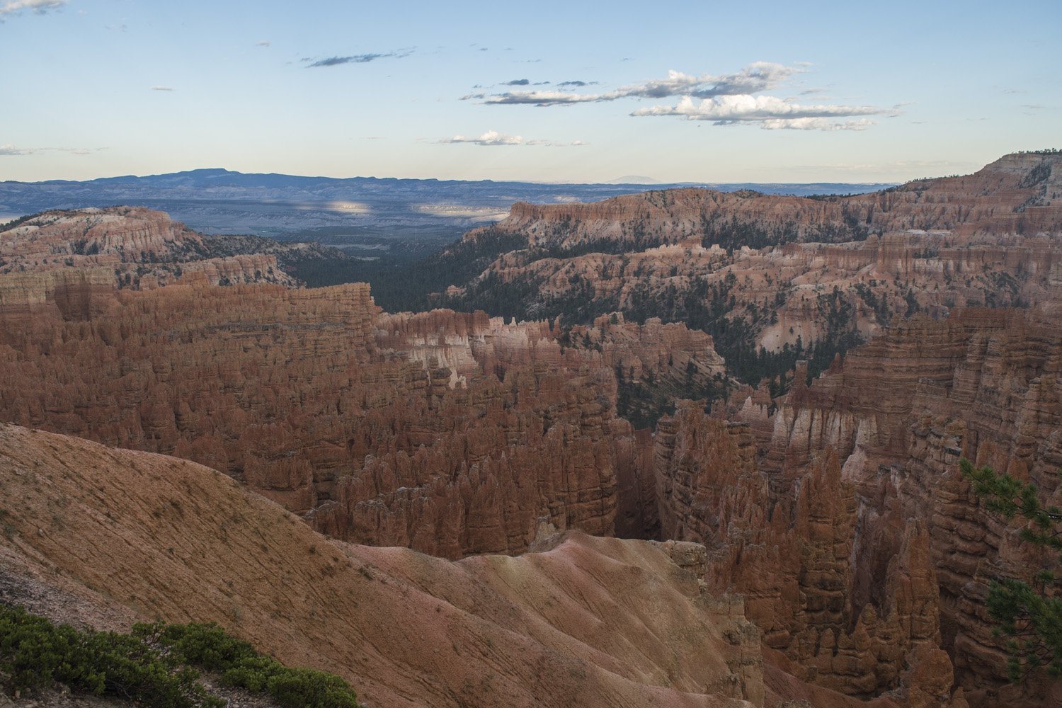
The sunrise from Sunset Point.

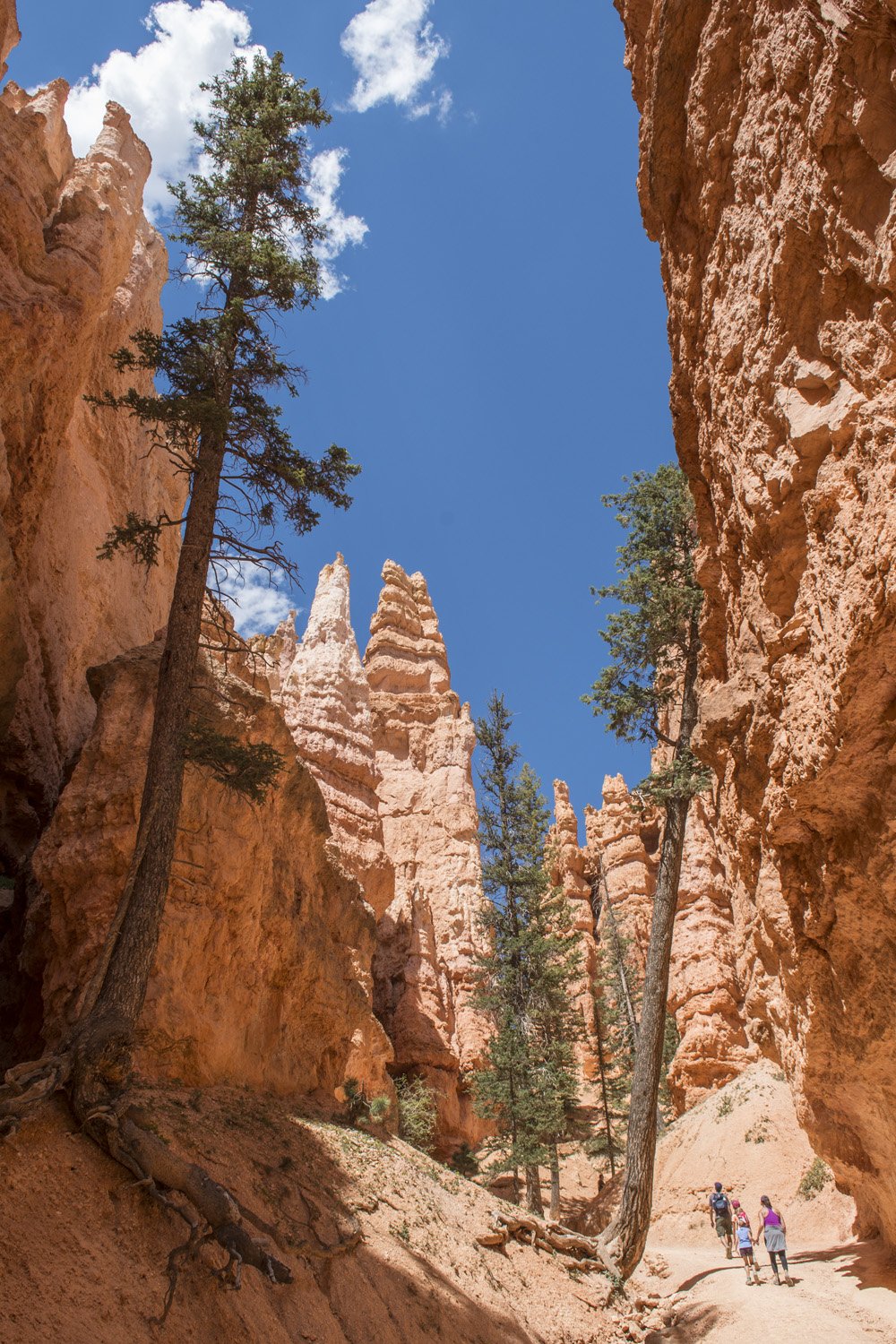
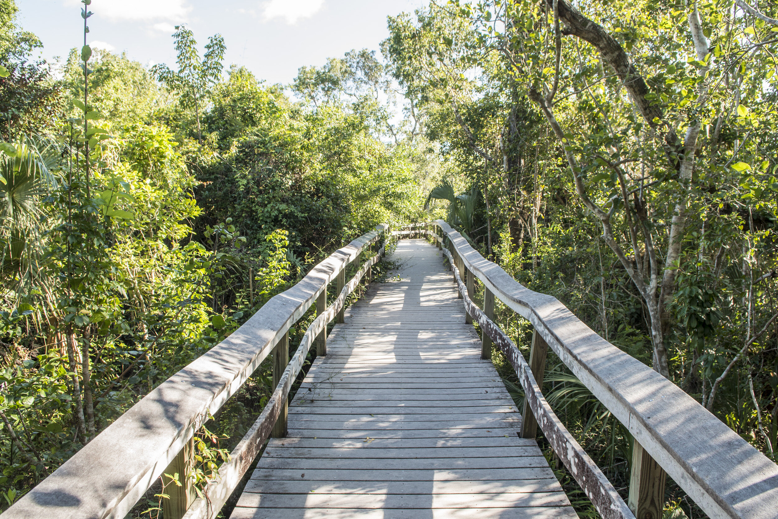
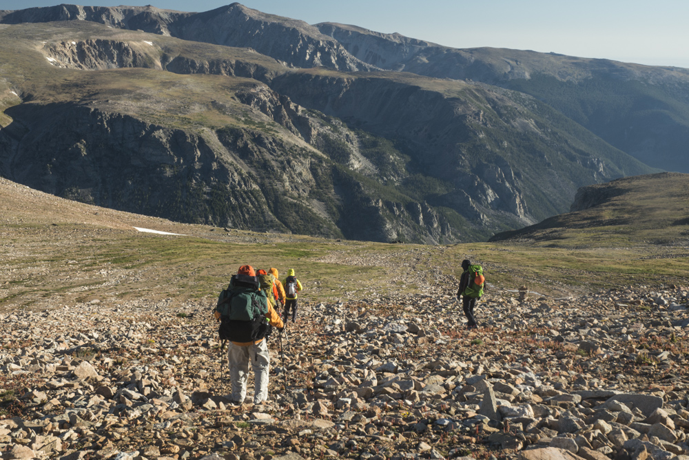
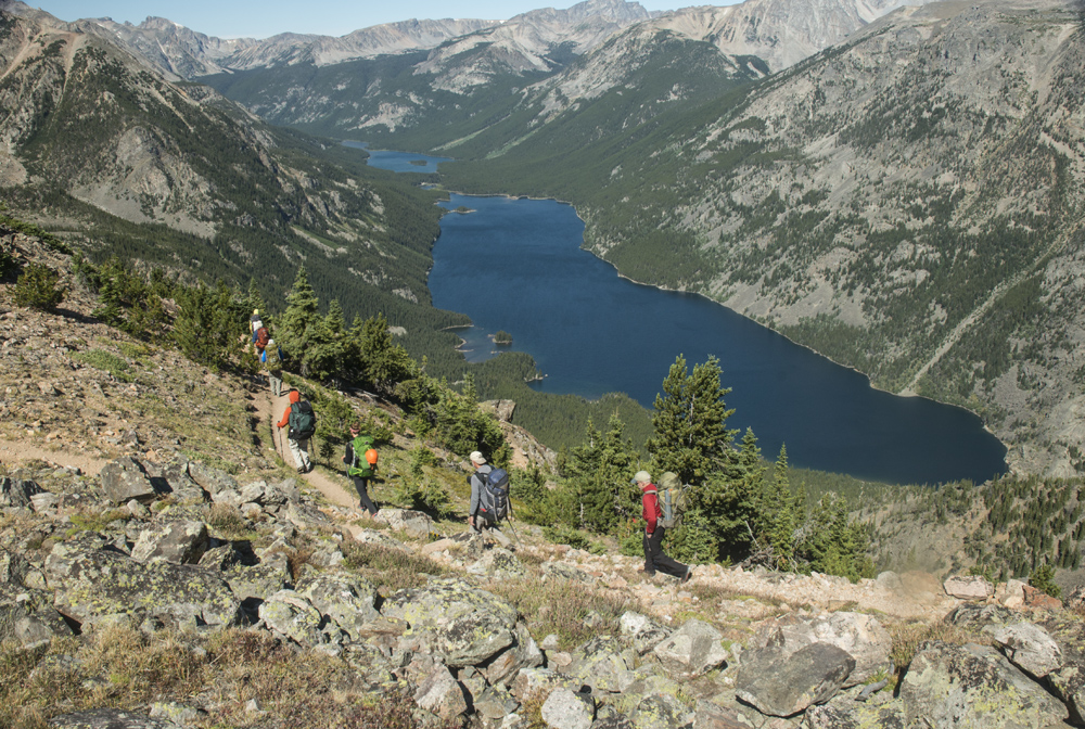
I left Sunset Campground and drove across the street to Sunset Point. From here I would start my major hike for the day; hiking across the amphitheater. I would start by taking Wall Street (the southern half of the Navajo Loop Trail) down to the eastern half of the Peekaboo Loop Trail and up to Bryce Point, then return via the western half of the Peekaboo Loop Trail and back up the northern half of the Navajo Loop Trail (making a loose figure-8). I got my day pack together and got ready to hit the trail. At this point the sun was coming up in the east and starting to light up the canyon. It looked like it was going to be a beautiful day.

Looking down the Wall Street section of the Navajo Loop Trail

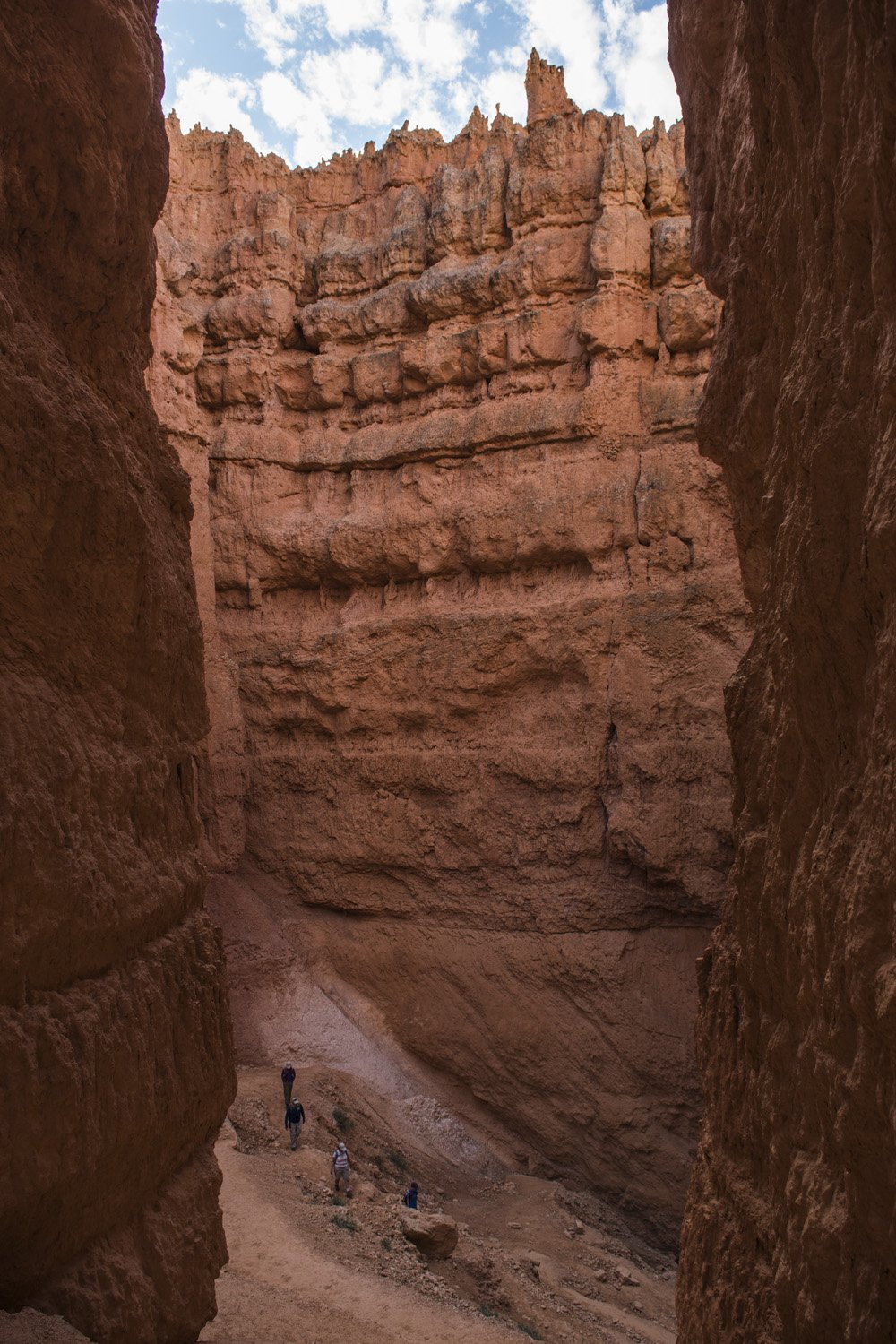
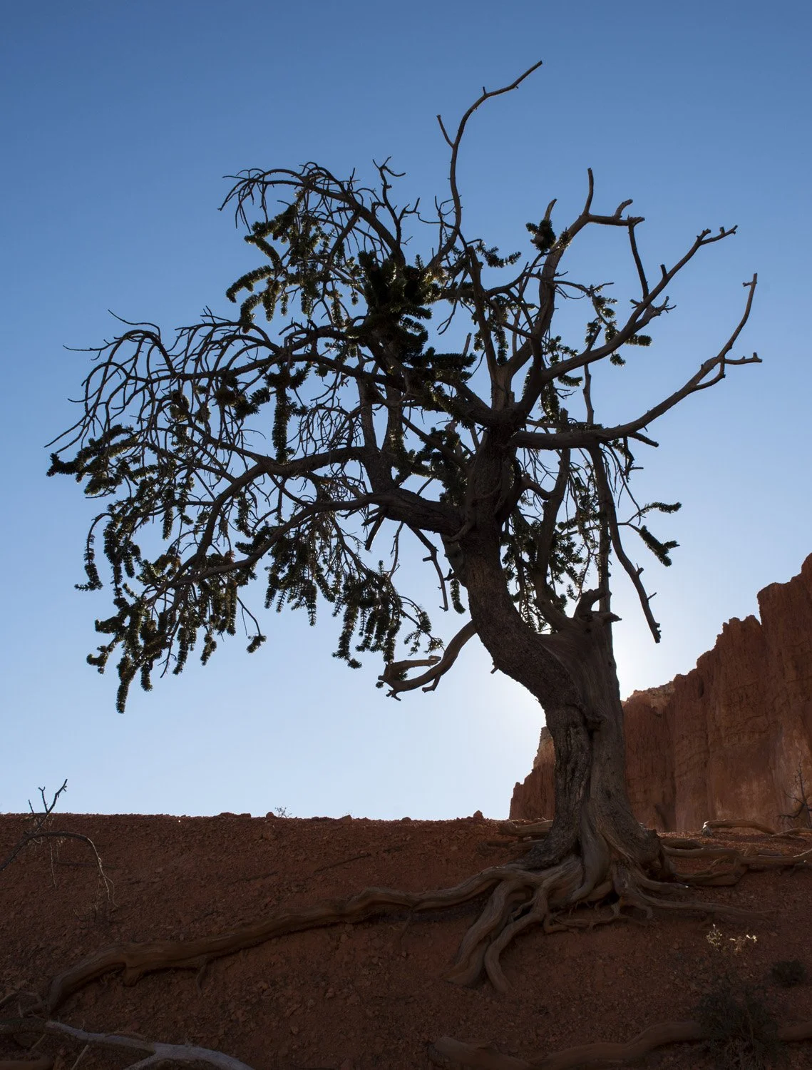
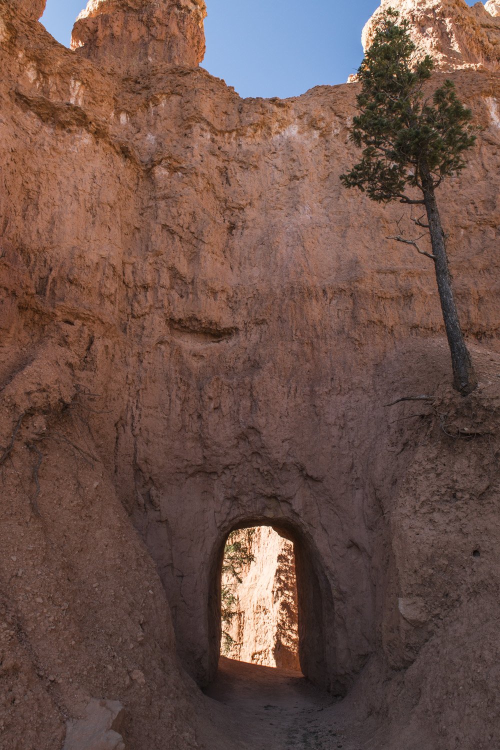
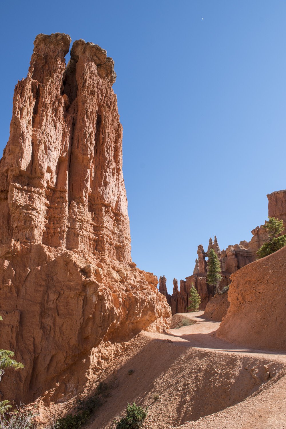
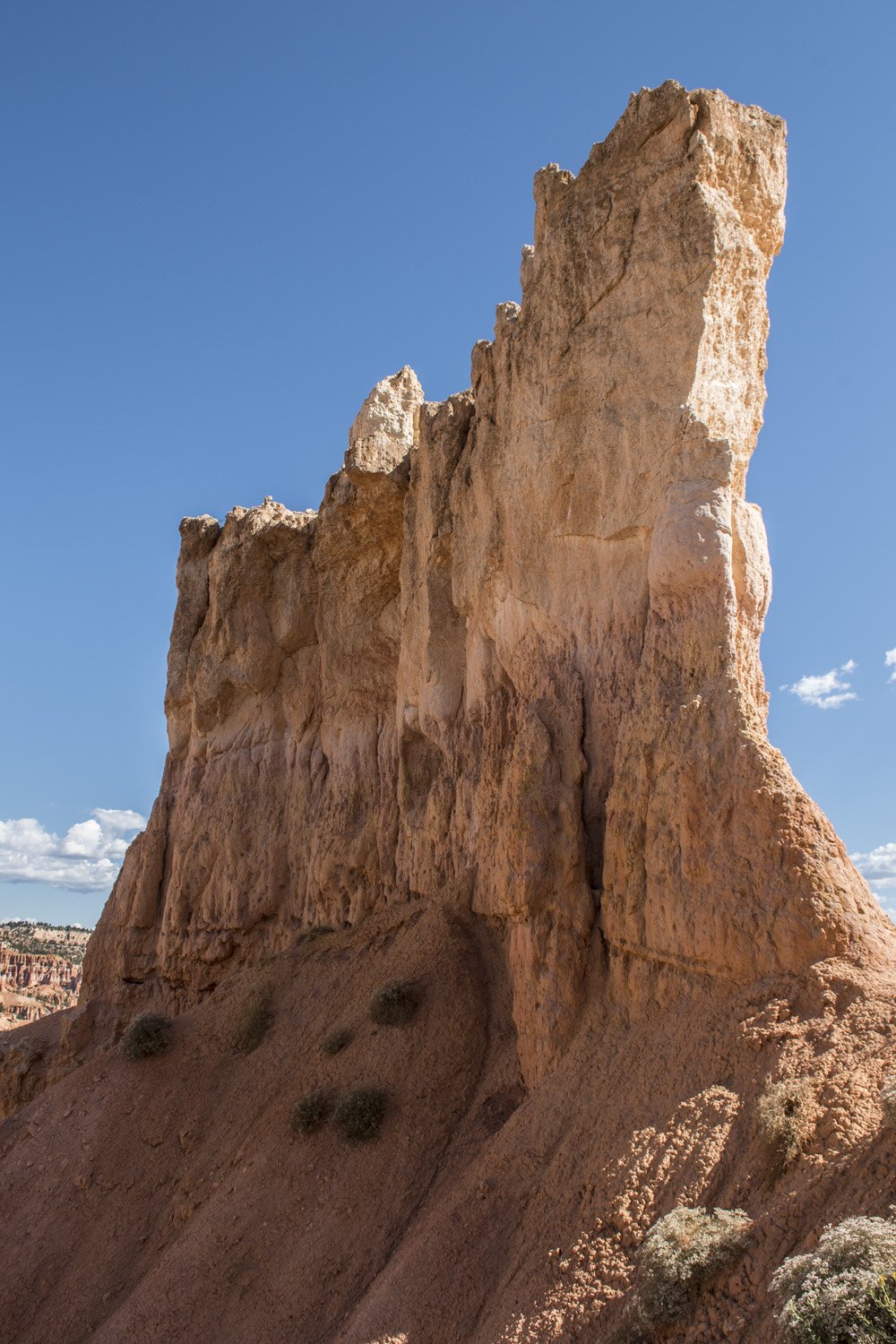
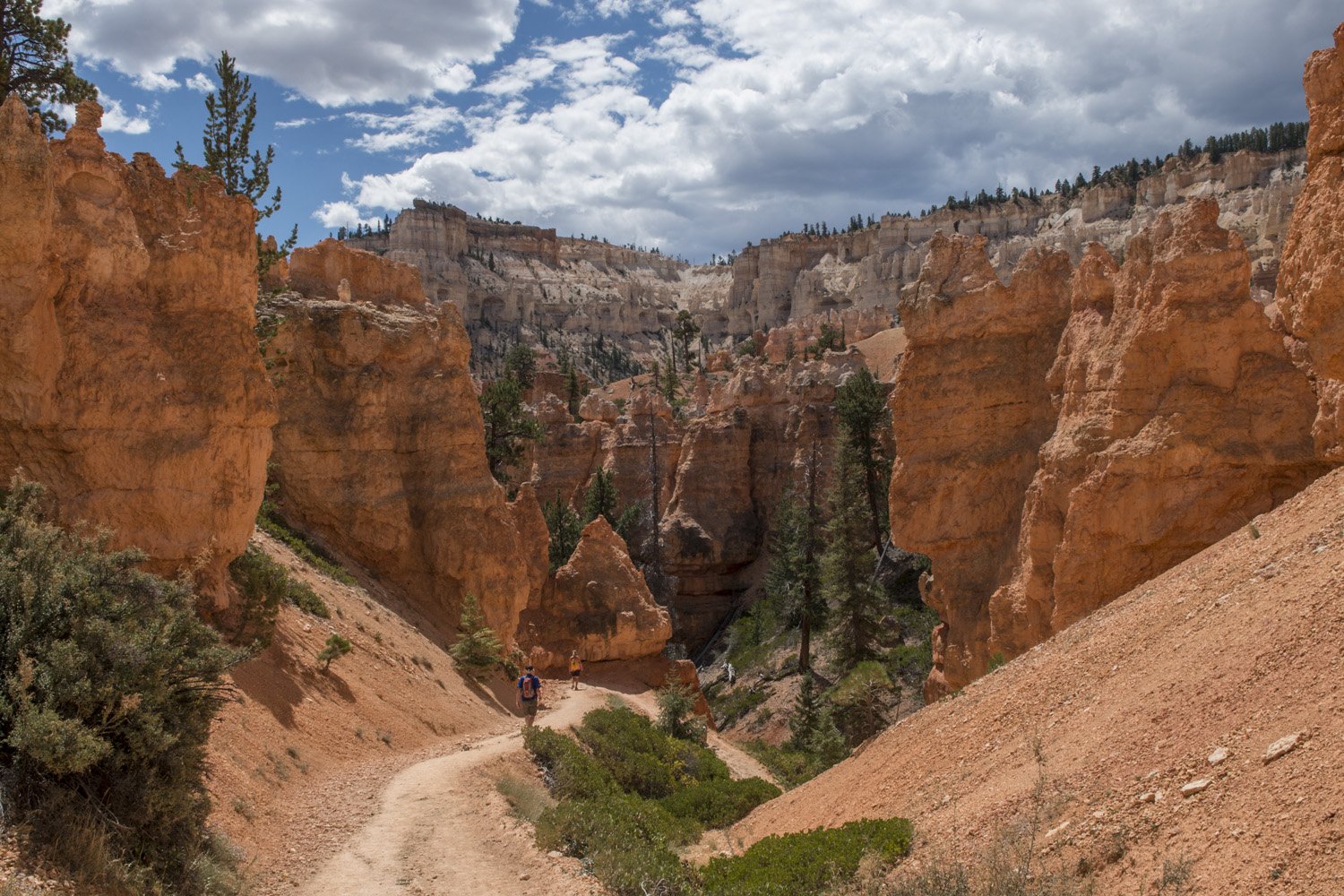
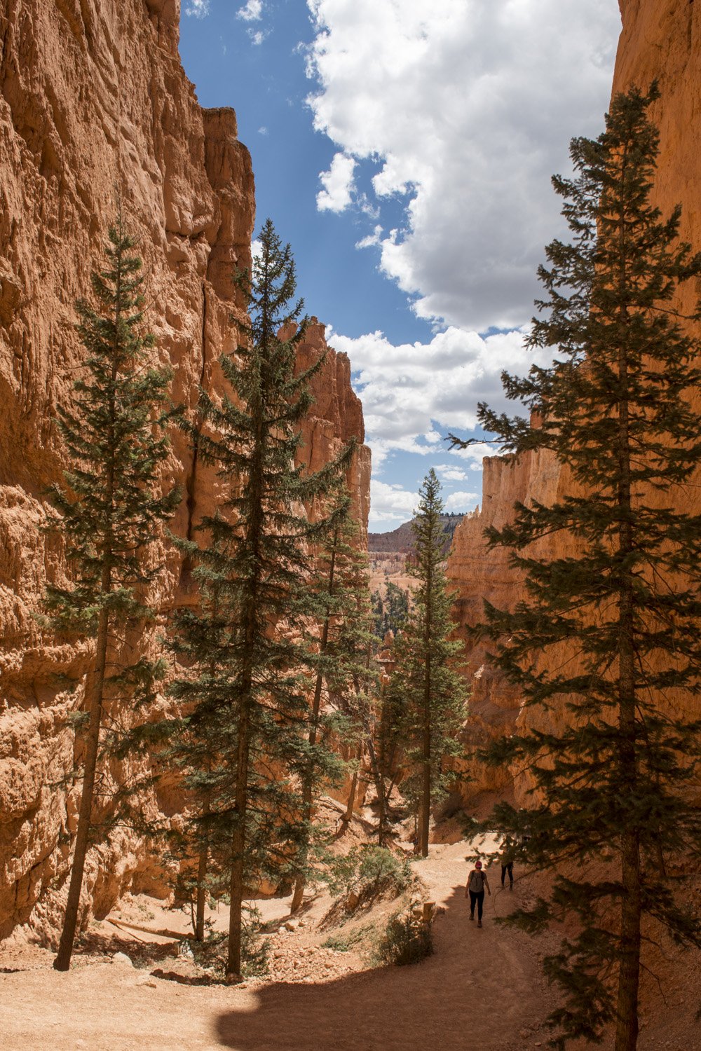
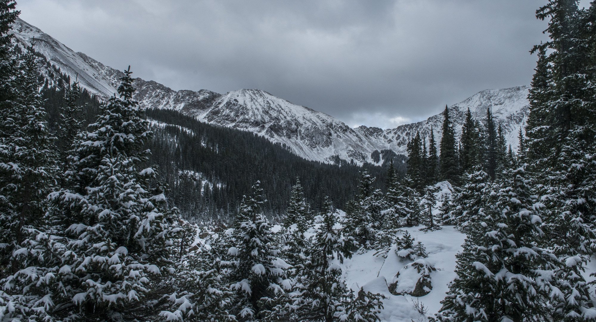
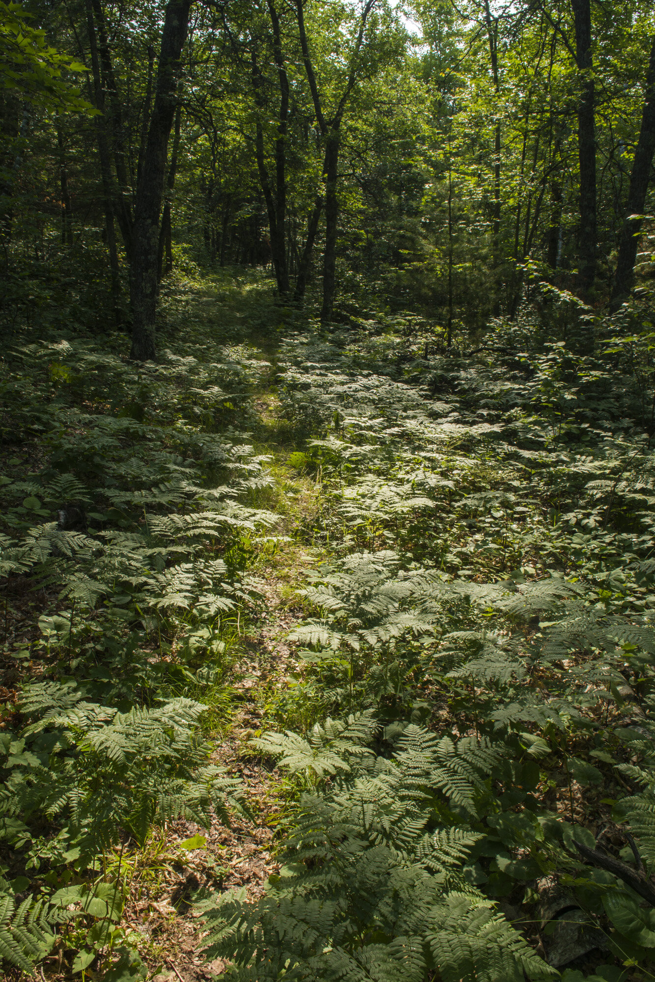
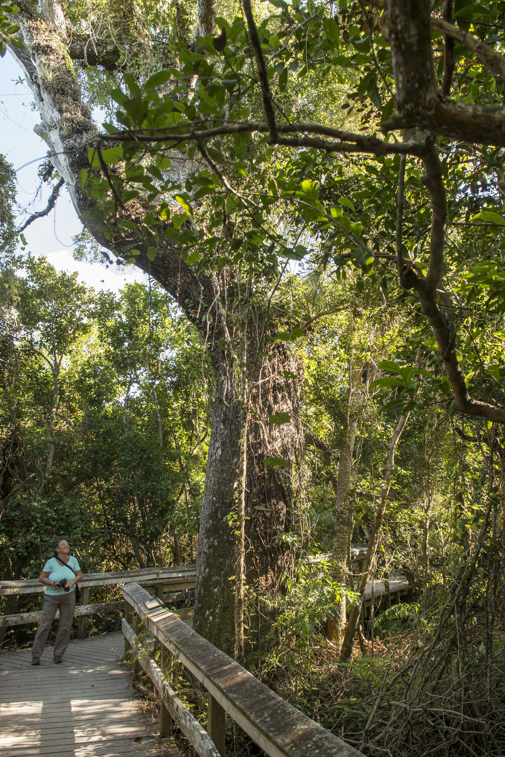
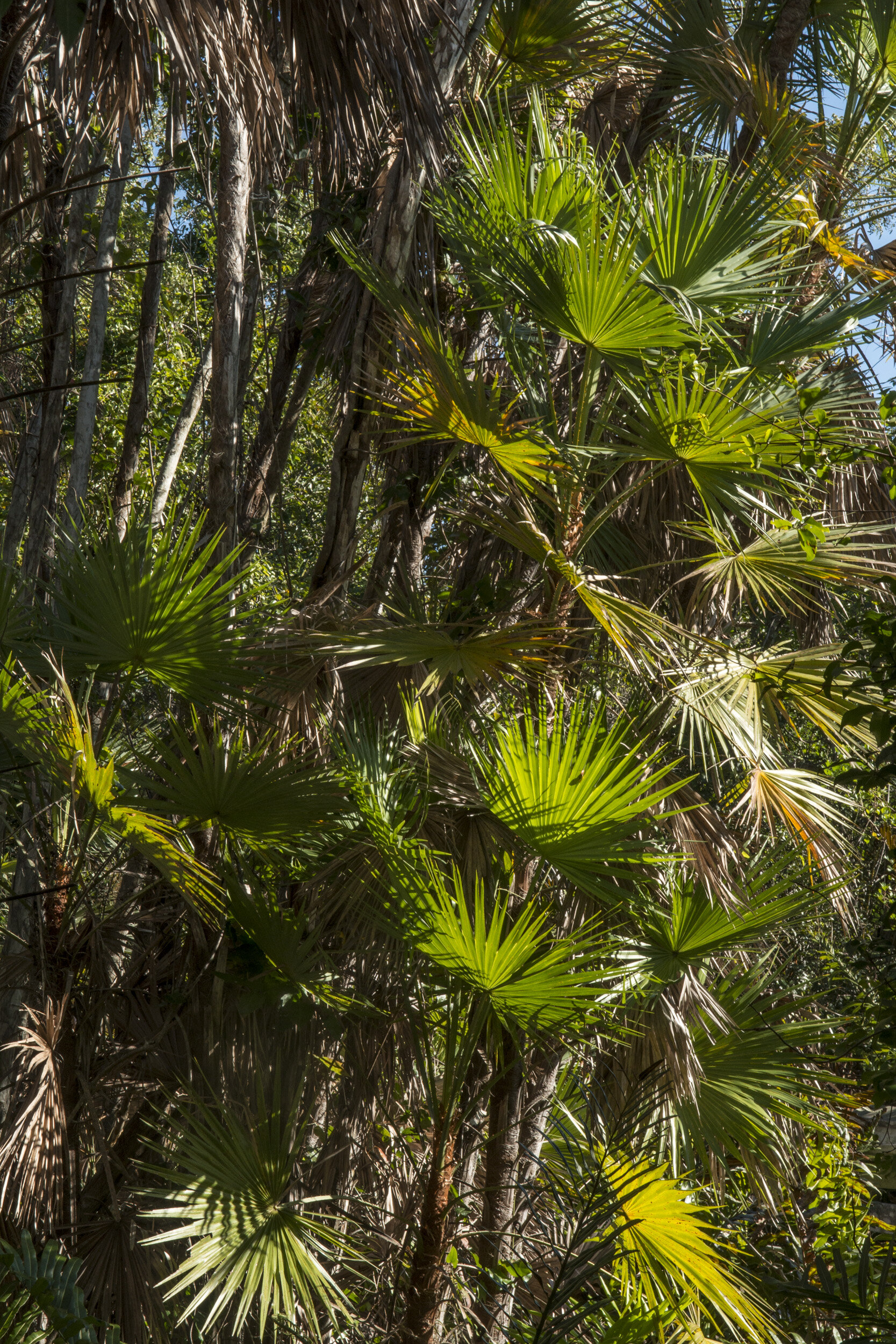
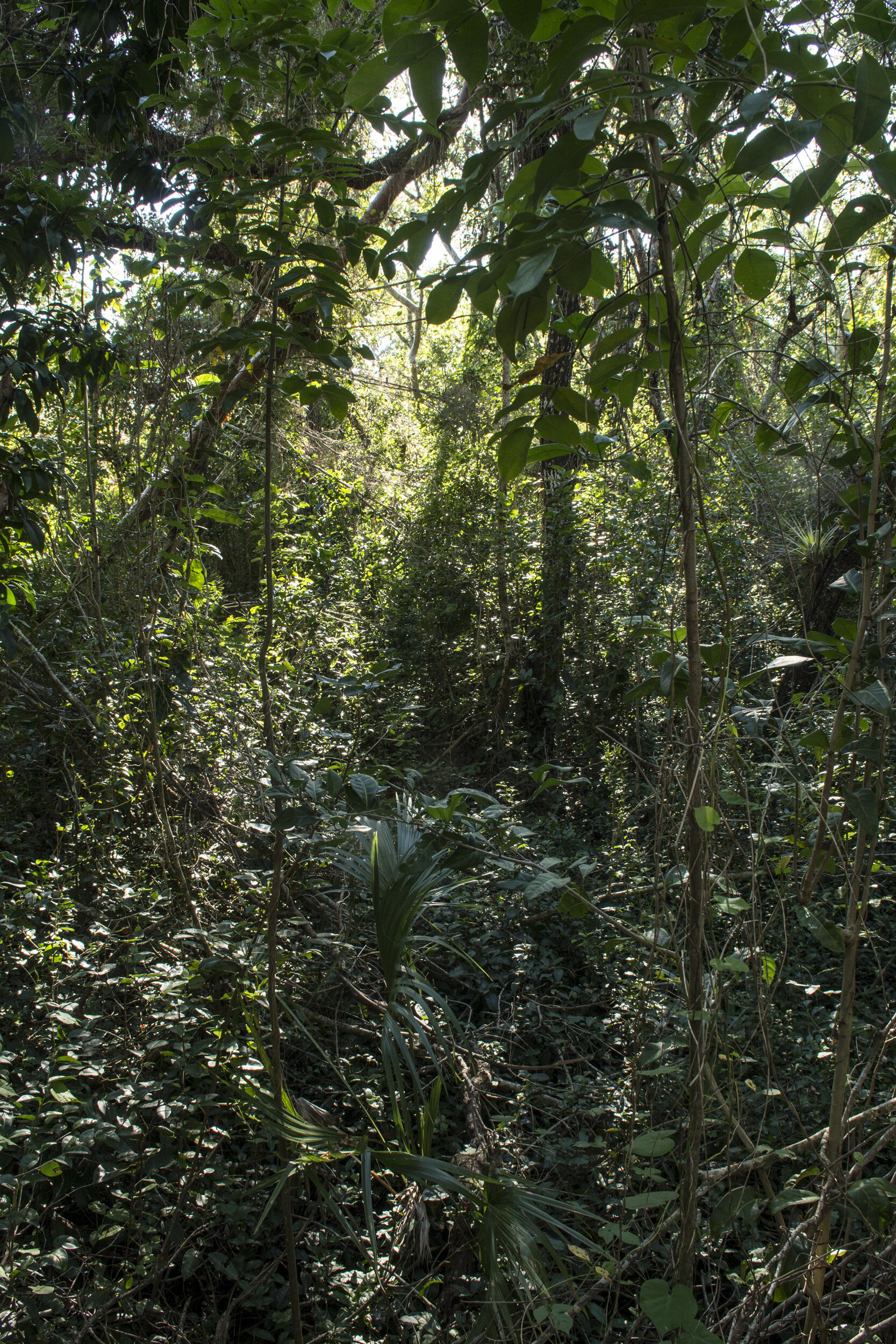
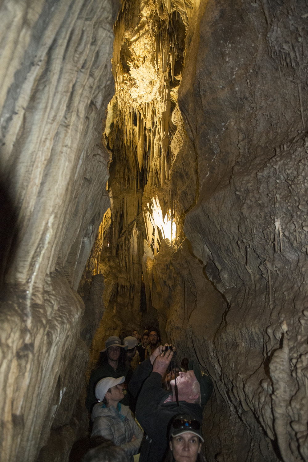
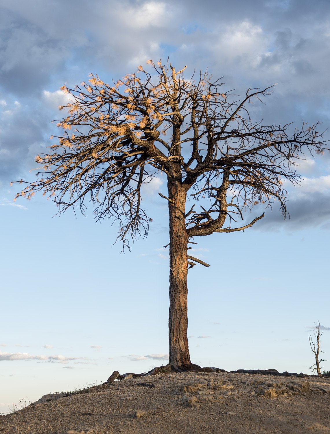
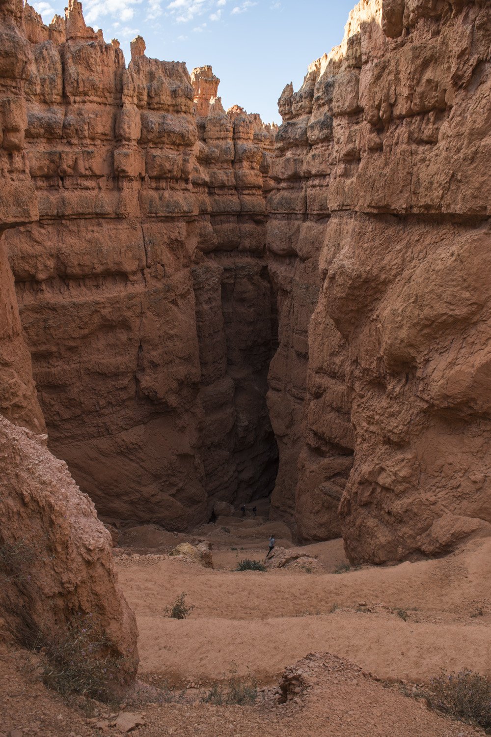
Wall Street lived up to its name. The trail descended from the Canyon rim and quickly entered into a tight canyon of sheer walls. Not quite a slot canyon, as it was wide enough for the trail to switch back down the length of it. At the bottom of the switchbacks the trail became quite narrow for a bit. I guess the section could be considered a slot canyon. Every so often there would be a random tree growing in the canyon. These were full grown pine trees but their tops still weren’t as tall as the canyon walls.


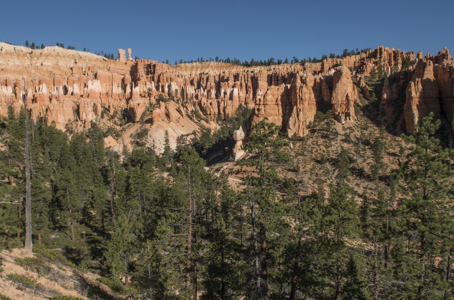
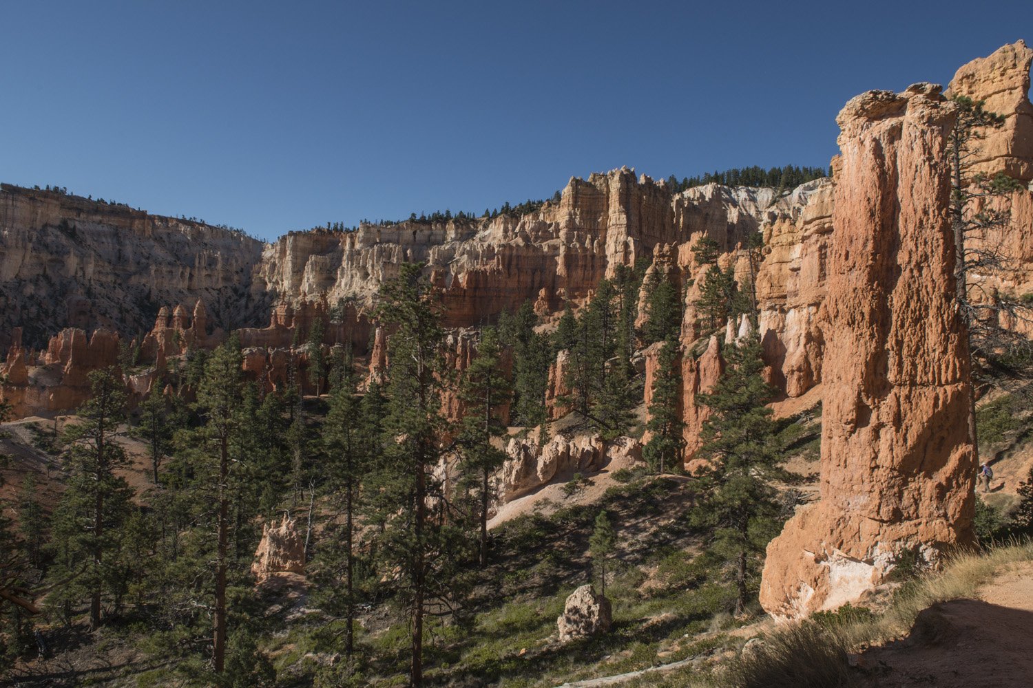
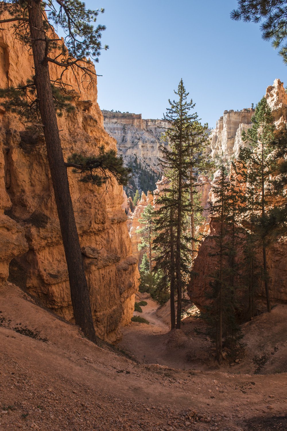
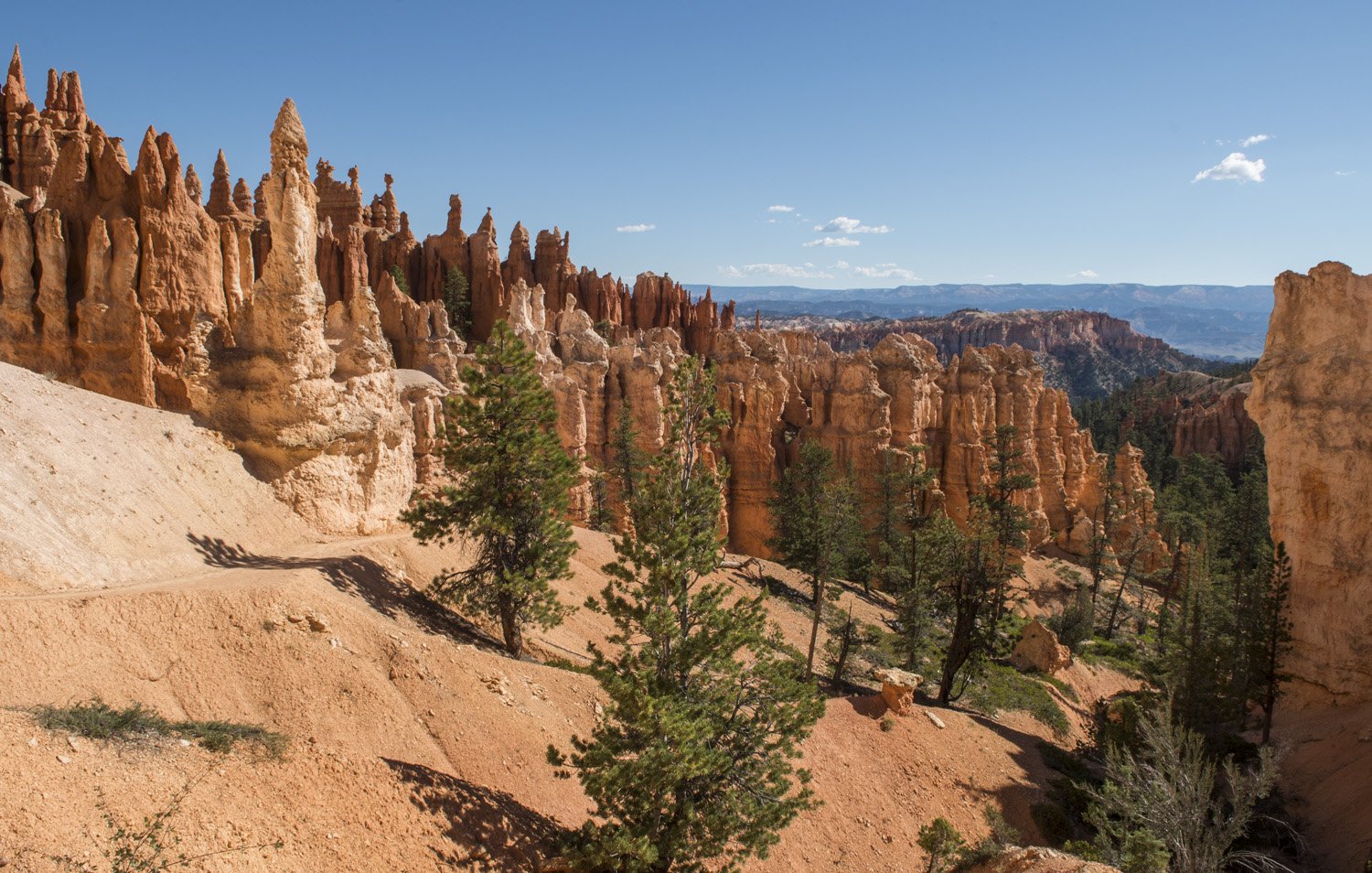
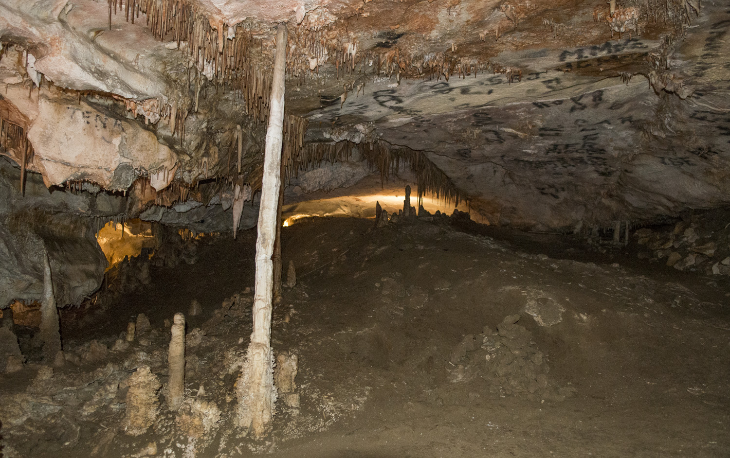
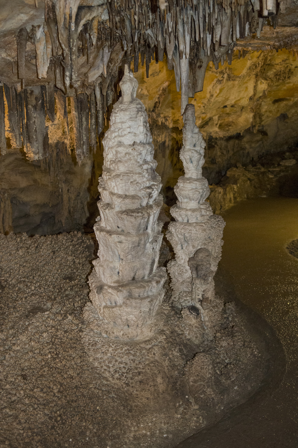
This narrow section eventually opened up as I got closer to the floor of the amphitheater. The view from the bottom is even more dramatic than the view from the rim. The fins and hoodoos seemingly surrounded me in every direction and towered high overhead. I noticed and realized the scale of the rock formations from the rim, but that still didn’t prepare me for being right next to them. A short trail across the open bottom of the amphitheater connects Navajo Loop and Peekaboo Loop Trails. Past the junction with Peekaboo Loop the dramatic landscape of the amphitheater tapers off to the east. Instead, I would be heading back up to the rim to Bryce Point lookout via Peekaboo Loop. 

Surrounded by towering rock formations
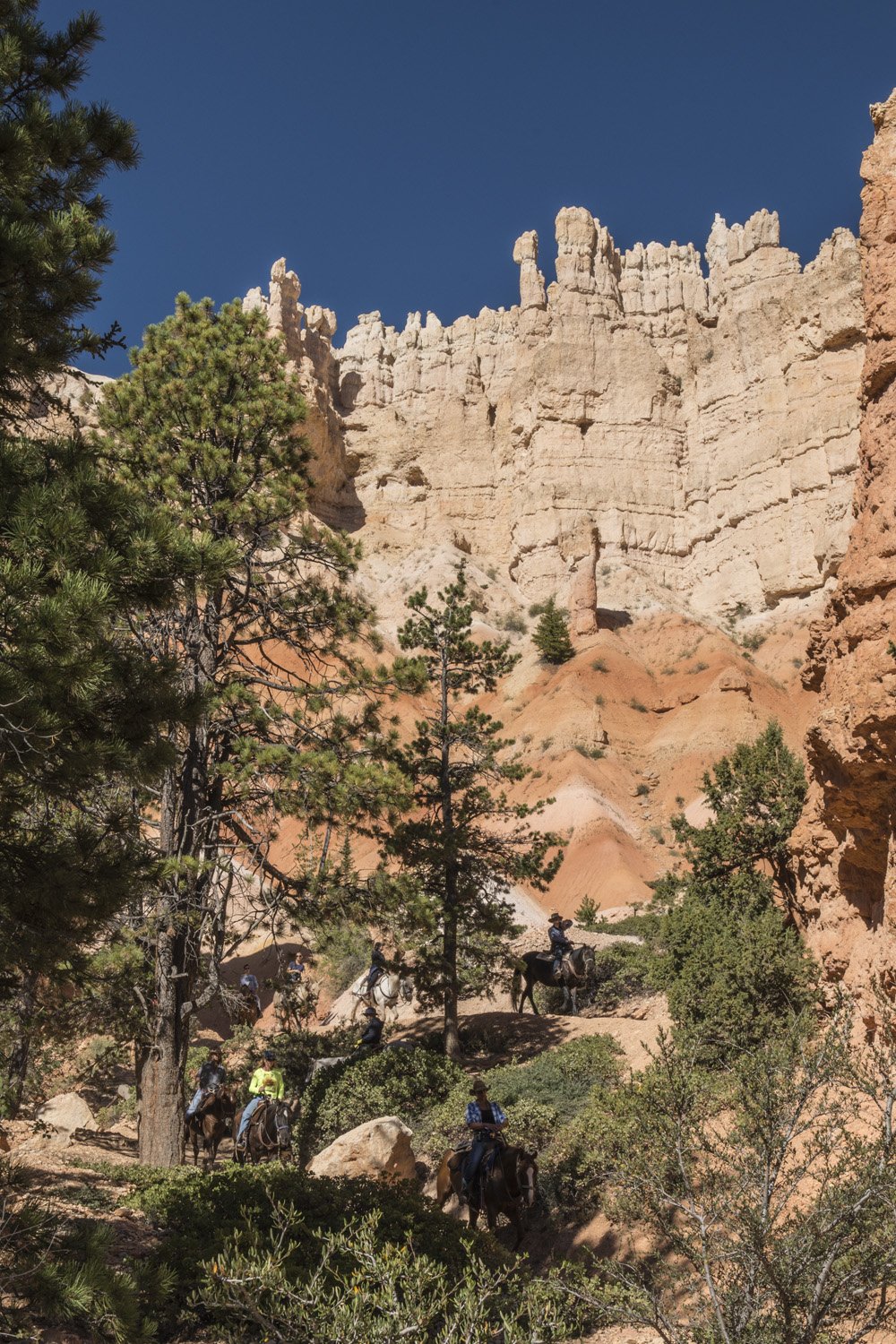
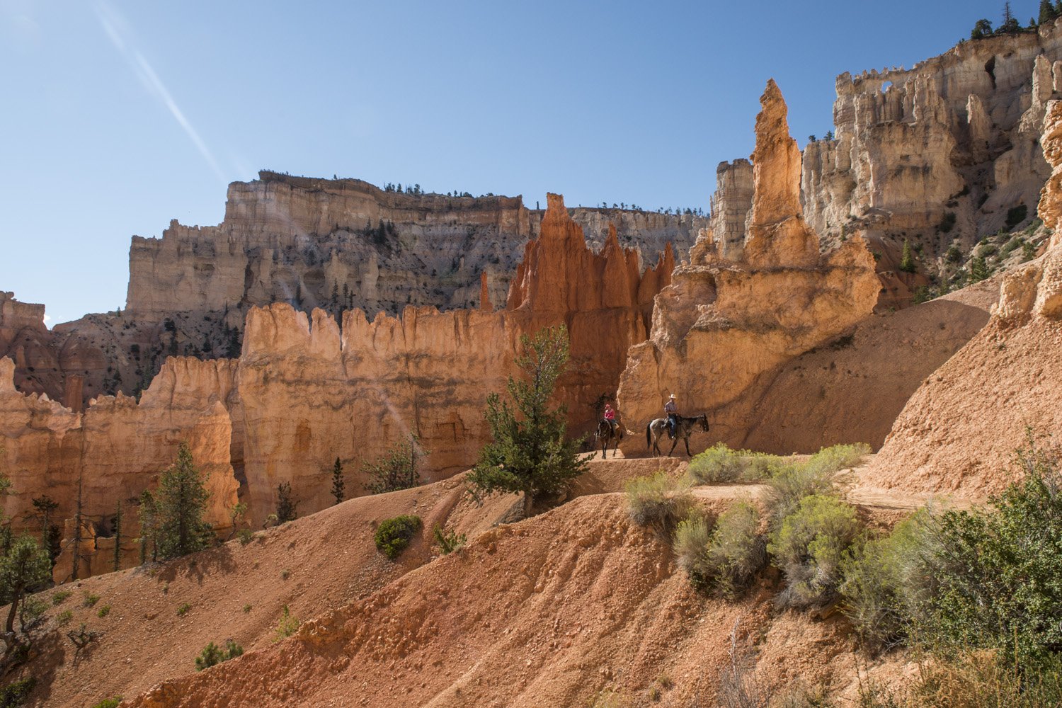
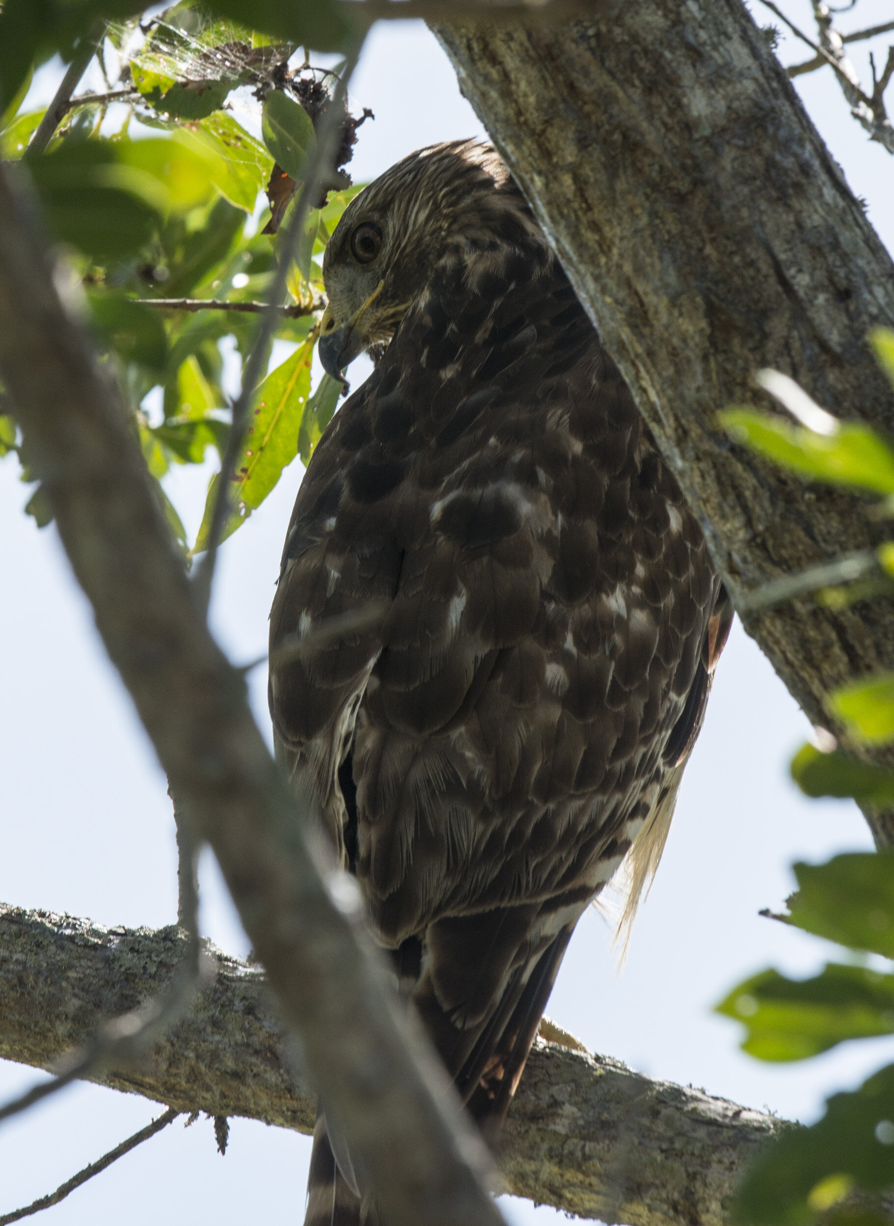
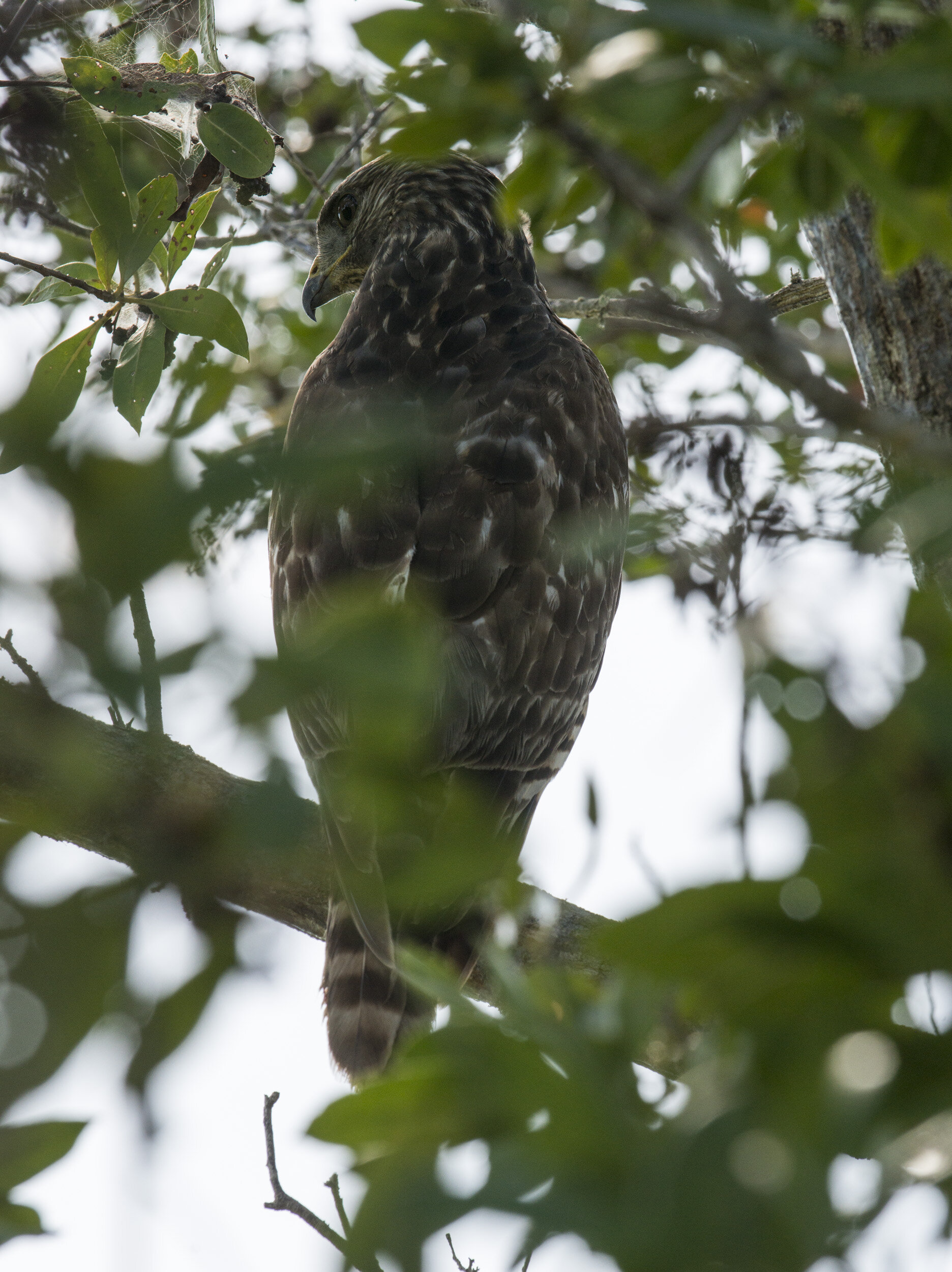
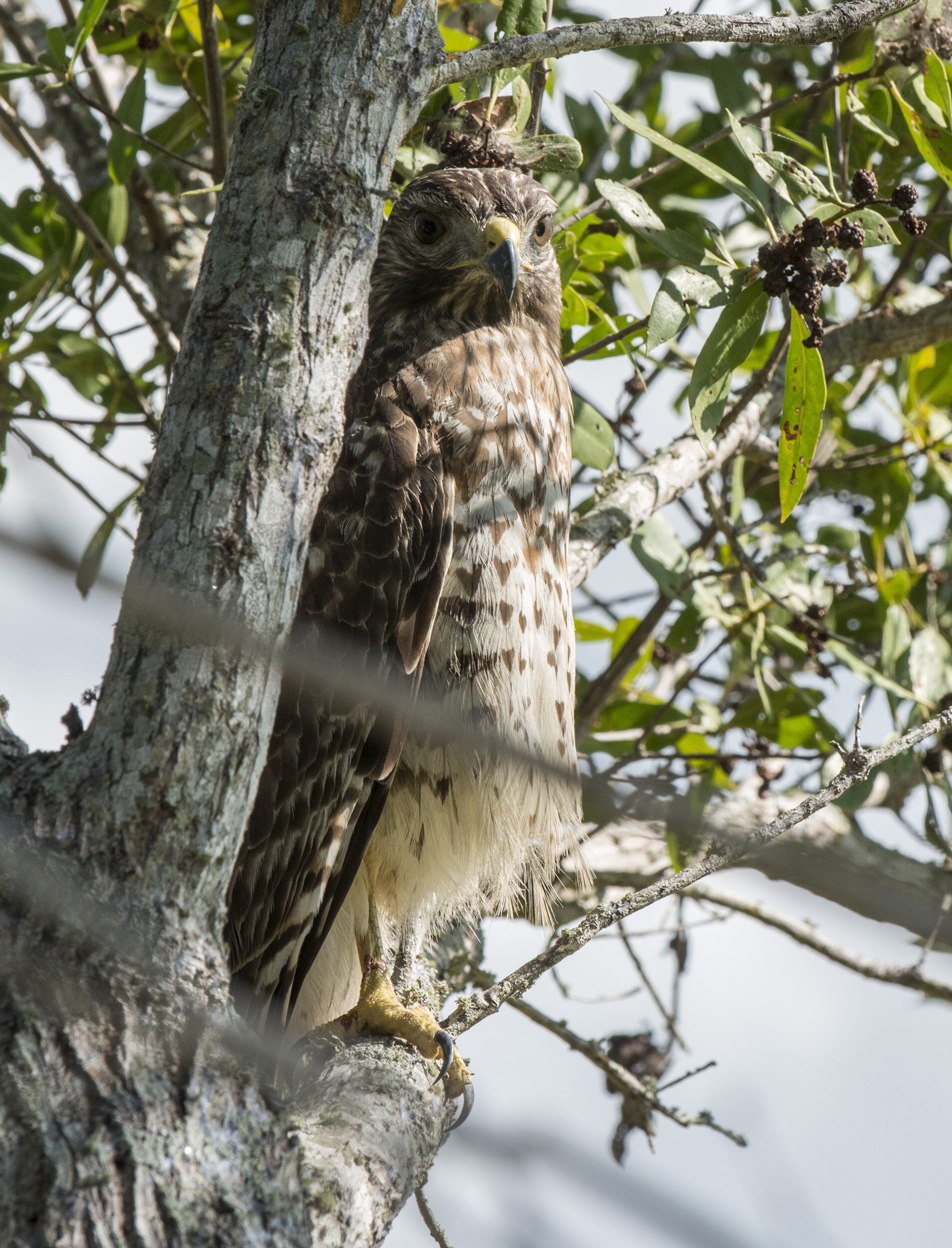
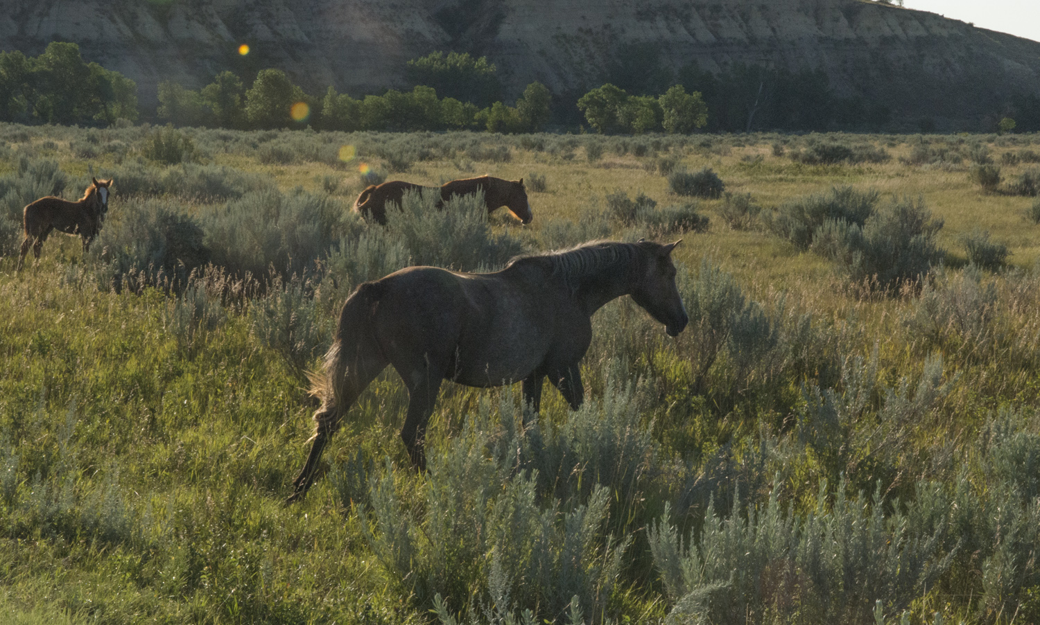
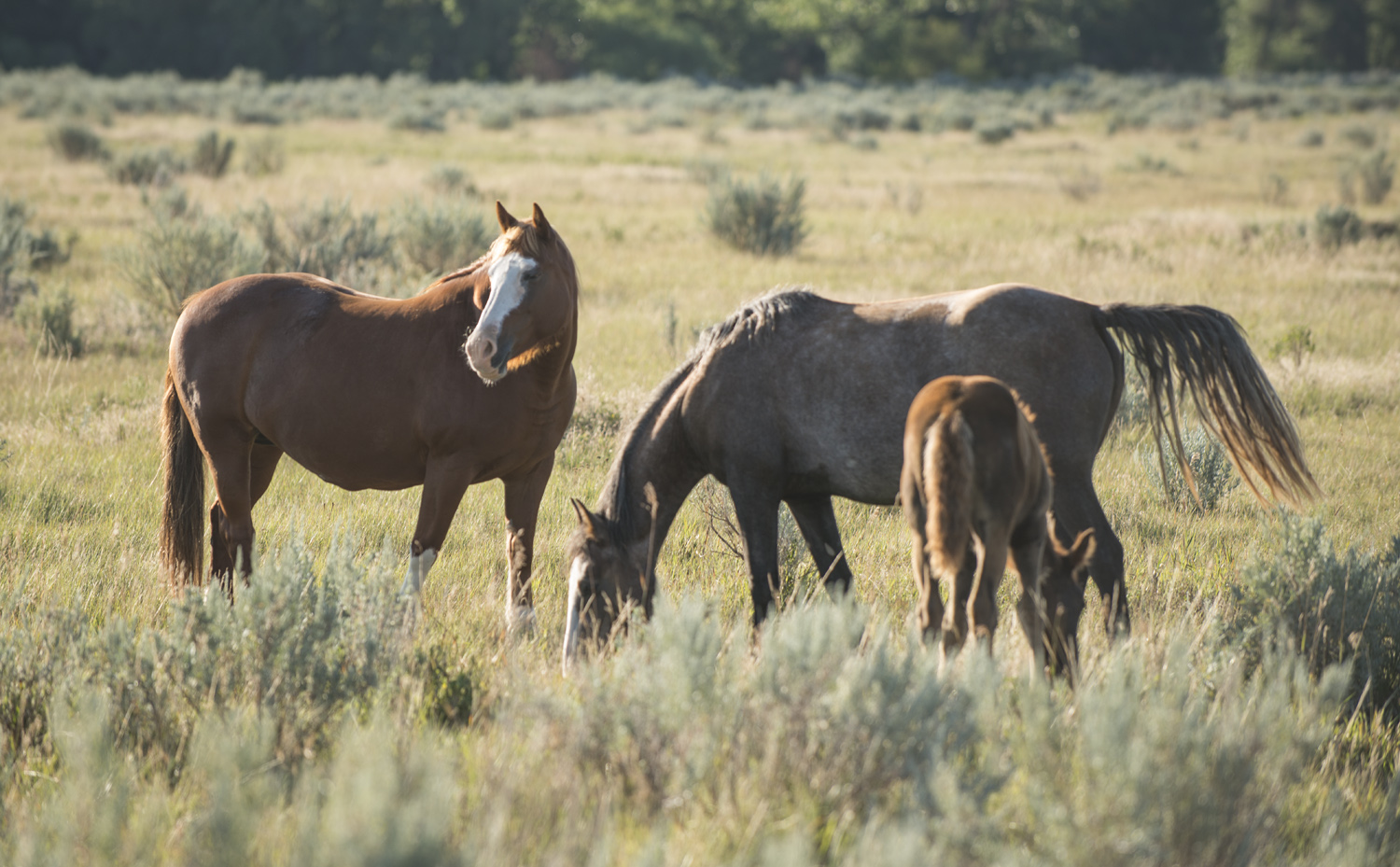
Horses on the trail

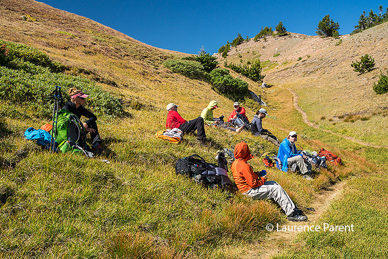
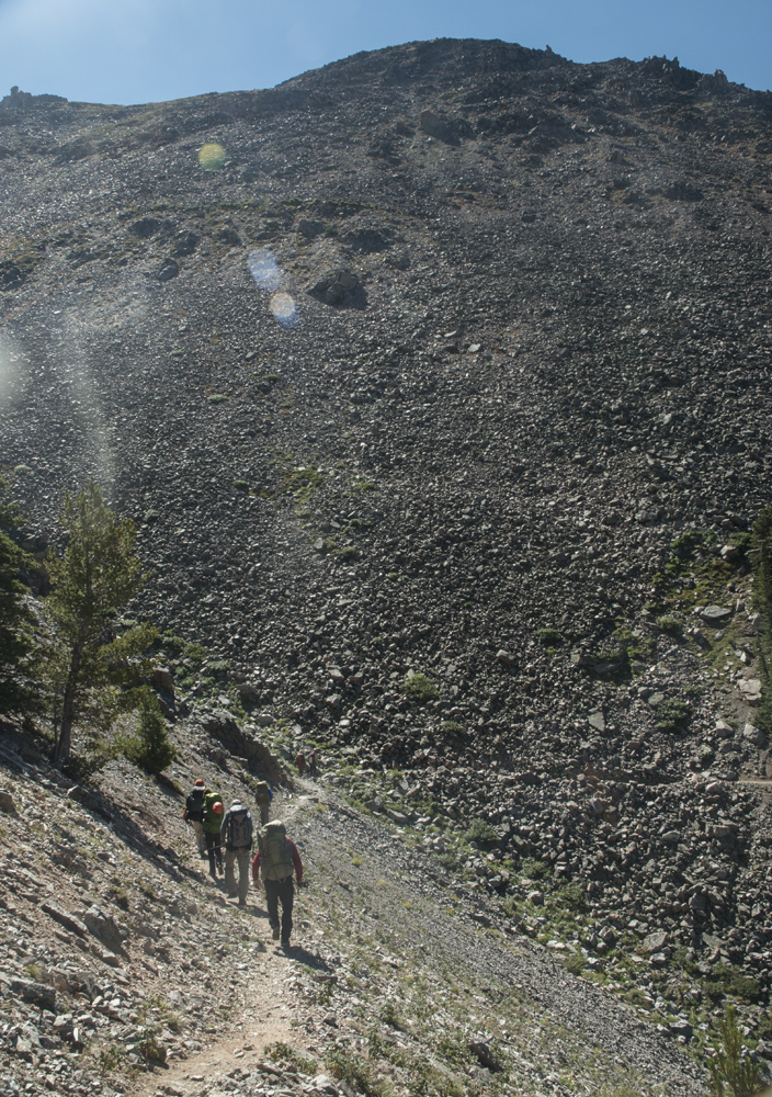
Peekaboo Loop is a 5.5 mile, mixed use trail, designated for both hikers and horseback riders and listed as strenuous. I did see one group of riders. A concessioner in the park, Canyon Trail Rides, offers various rides into the canyon. It looked like fun and something I’d want to try on a future visit. The pace of the ride could comfortably be called a mosey. 

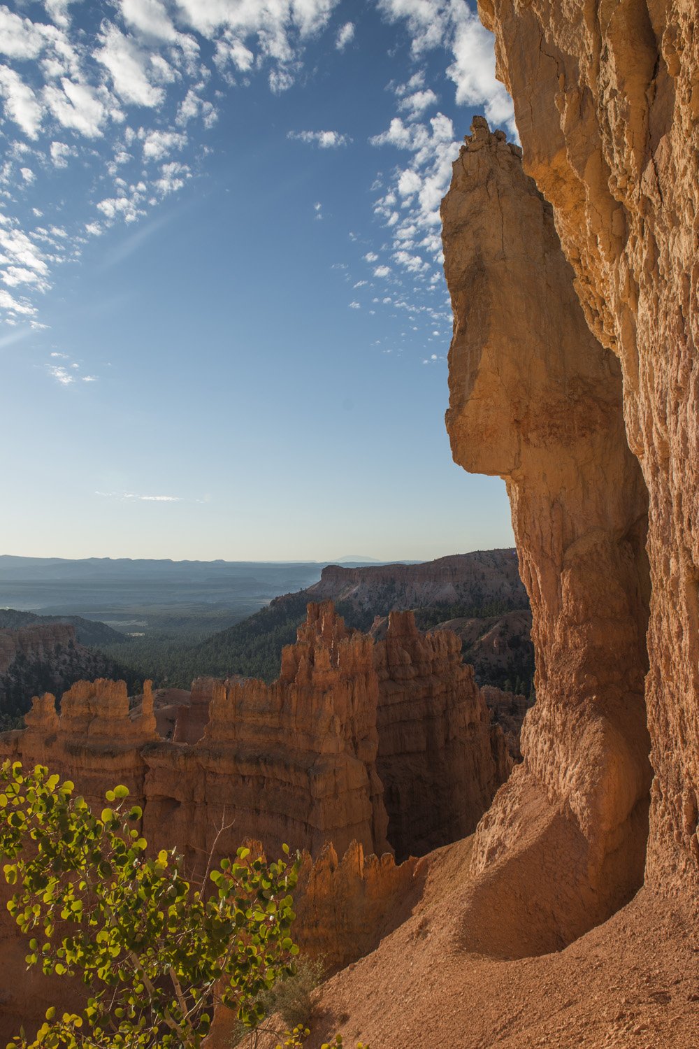
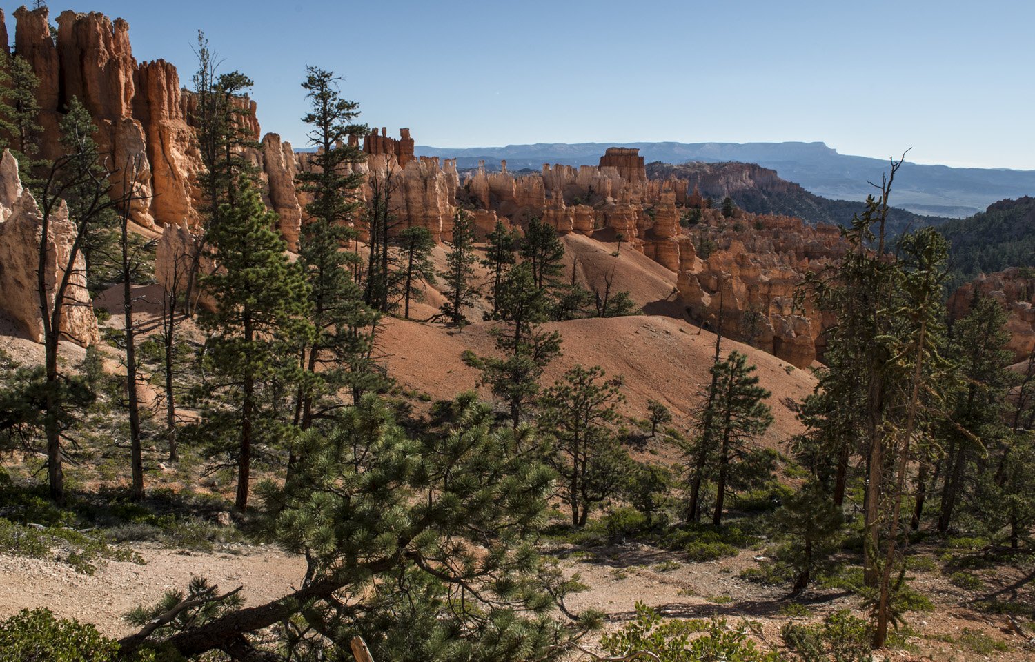
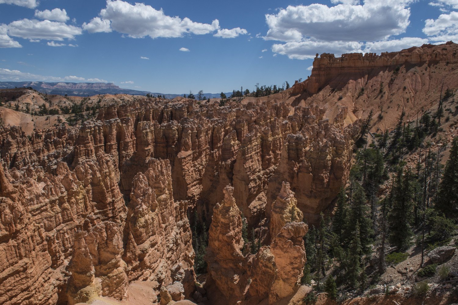
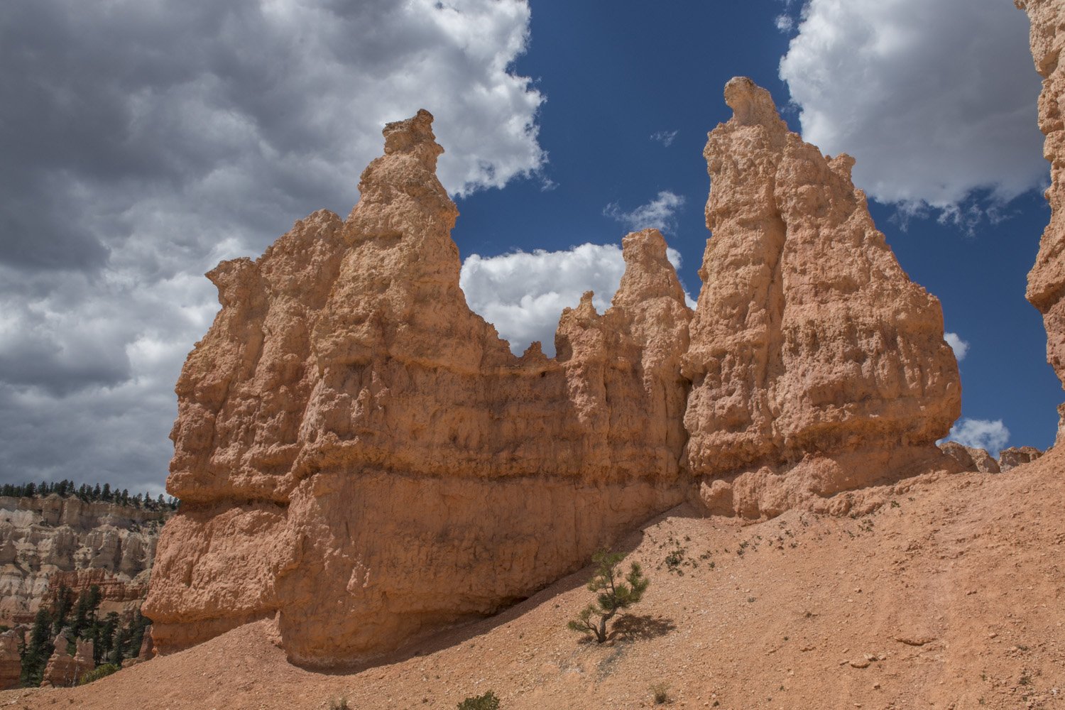
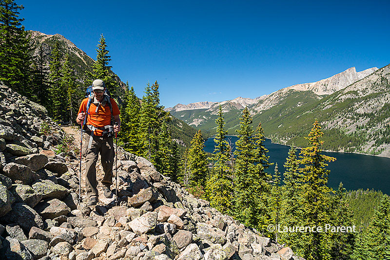
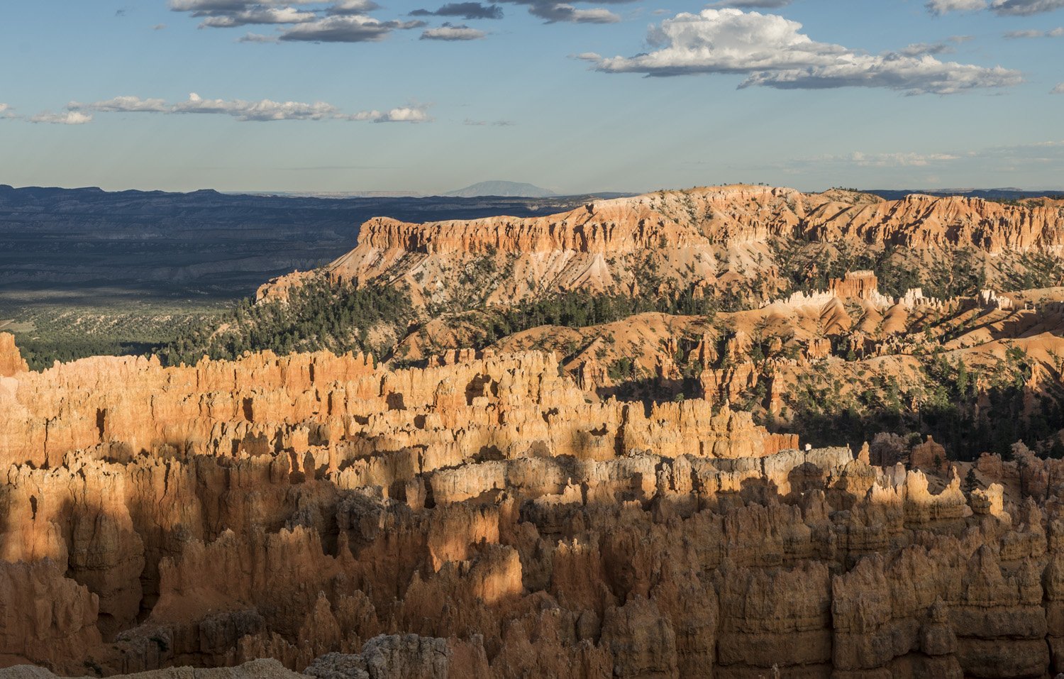
As the trail continued toward Bryce Point the formations became grander and more dramatic again. The vibrant reds, ambers, and yellows almost glowing in the bright sun. After a while, I finally reached Bryce Point. It sits at the southern end of the amphitheater rim and has a commanding view of the canyon below. I stopped here to have lunch and rest. It was quite cool when I had started the hike, but had warmed considerably by this point. The sun was high in the sky and the canyon took on a different feel than when I had seen it at dusk the night before. The various strata of rock could clearly be seen in the bright sunlight.

The Wall of Windows

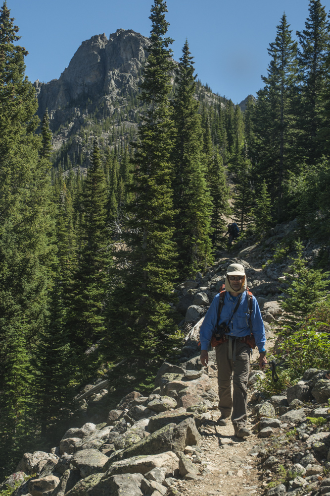
The hike back to Sunset Point would be a little different as I would be taking the other half of the figure-8 comprised of Peakaboo and Navajo Loops. More towering hoodoos awaited as I descended back into the canyon. I kept being struck by how different the experiences were of being up on the rim versus down in the canyon. This is one of those places that makes you feel small, in a good way.

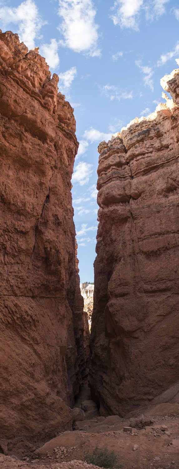
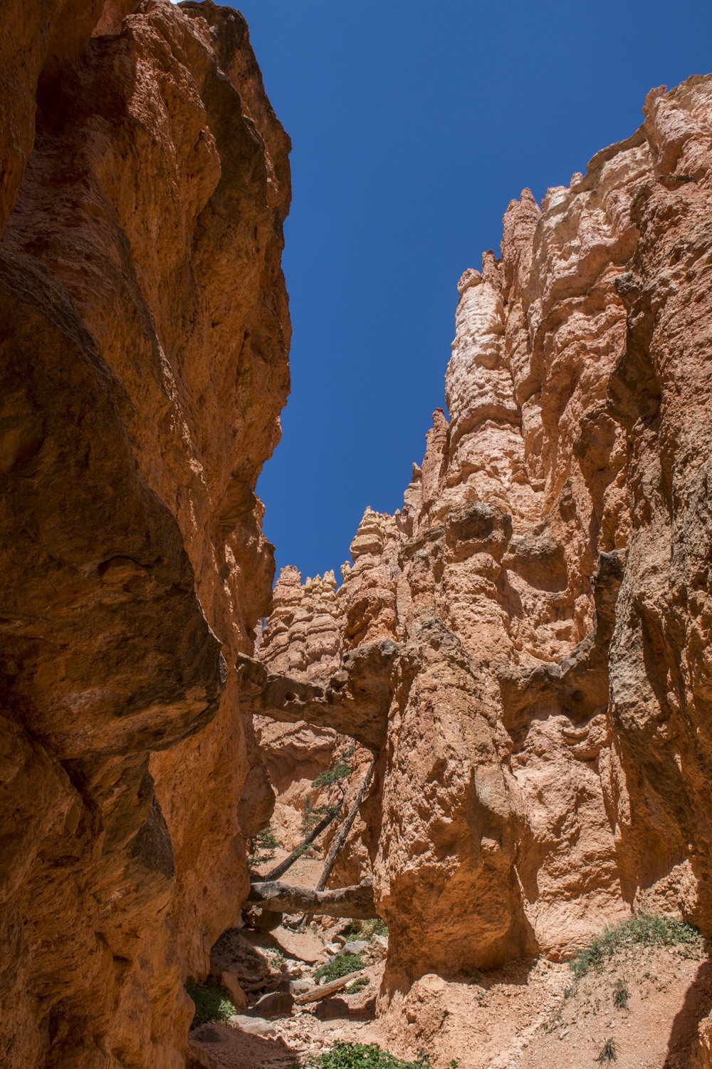
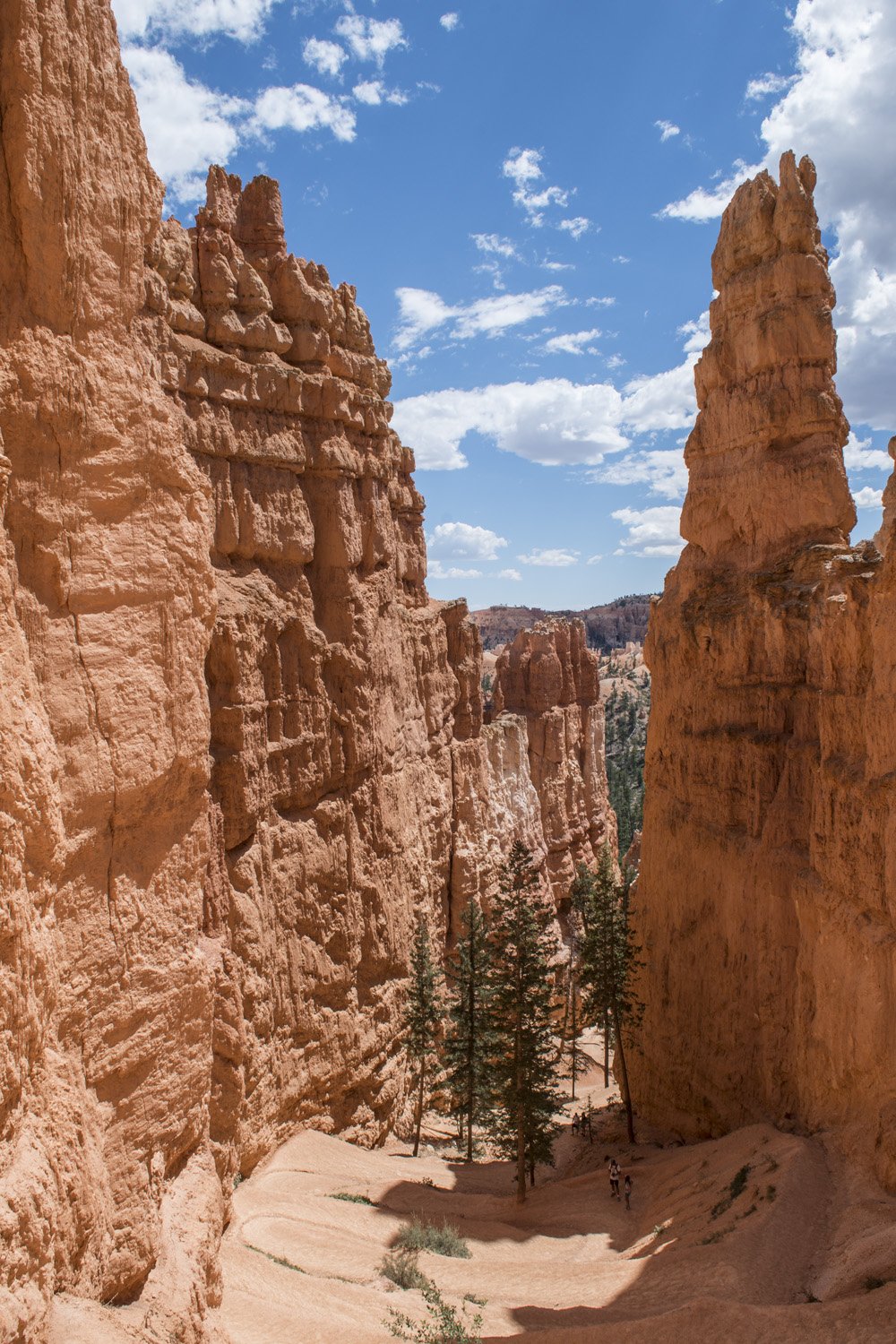
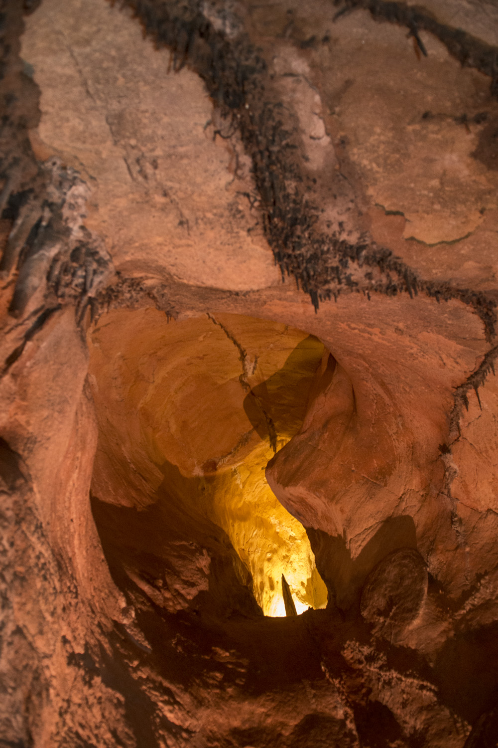
The downhill half of the Peakaboo Trail passes several structures such as the Wall of Windows and The Cathedral. The Wall of Windows is a high wall to the west of the trail that features a series of small arches across the top of the ridge. I came back to the bottom of the canyon and connected over to the Navajo Loop Trail. This gradually worked its way back up to the rim, but first there was one more cool area to see. Just below the rim, south of Thor’s Hammer, the trail wound between two shear walls in tight switchbacks. It was rather steep (hence the switchbacks), but the sight was amazing as the walls closed in just before getting back to the top.

Back on flat ground, I was able to breathe a sigh of relief. This was an epic day hike that every able-bodied national park enthusiast or outdoor lover should do. It’s hard to get a sense of the scale of these formations without getting down among them. There is a lot of up and down, and both Navajo and Peakaboo Loops are listed as strenuous. So it helps to be in shape and bring plenty of water, salty snacks, and sun protection. The higher elevation does take the edge off the heat, but it still gets plenty warm in the direct sun. And if you don’t feel like doing the hike, take a horse.

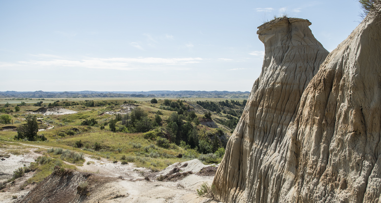
After getting back to the car I still had plenty of daylight left, so I headed towards the southern end of the park. I felt like I was done hiking for the day and everything I was heading for would be road accessible. The first stop was Natural Bridge, a large rock arch just like the many that are common in southern Utah. There’s a good view from the road, but there are no trails going down to it or over it.

Natural Bridge


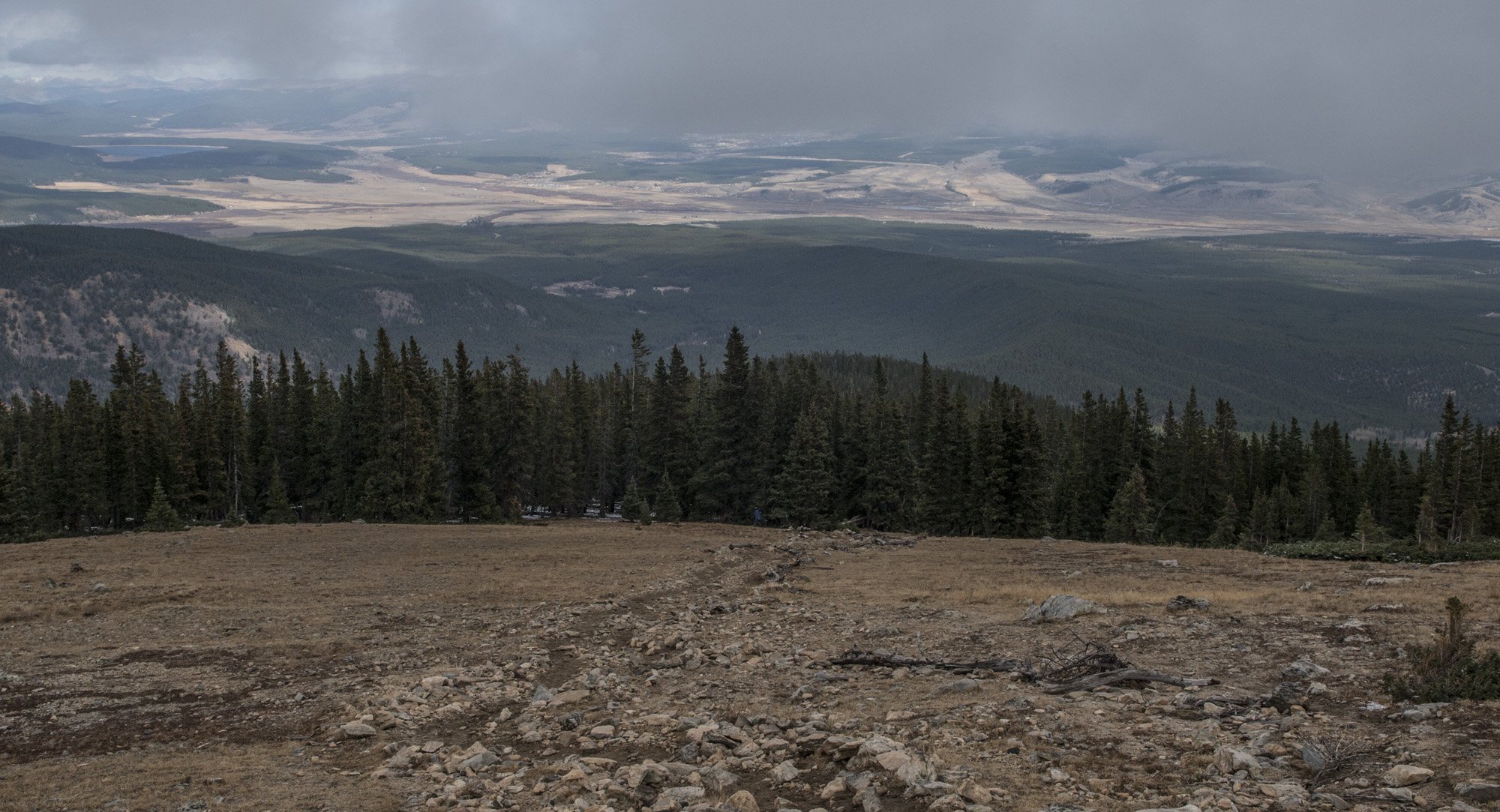
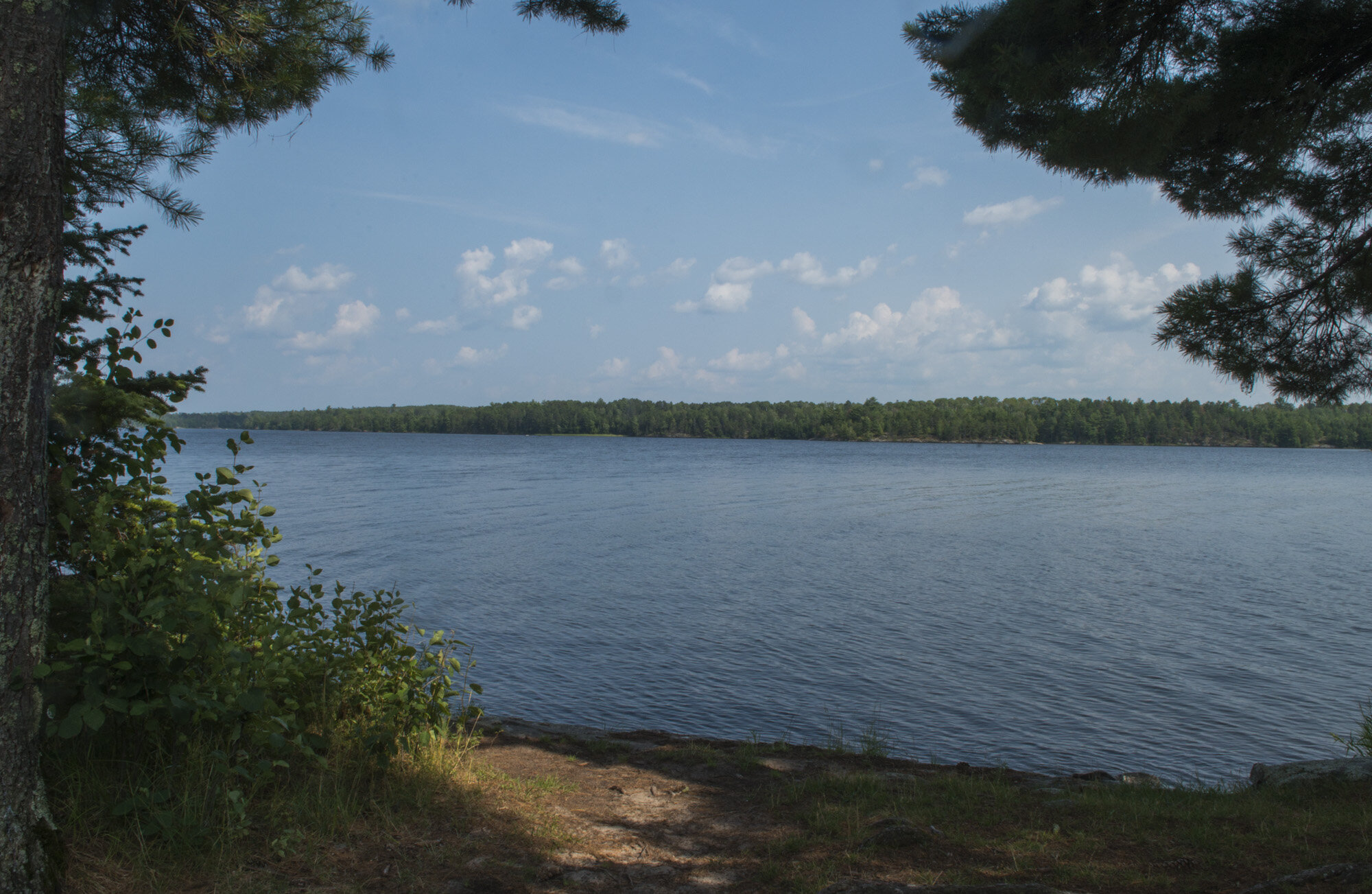
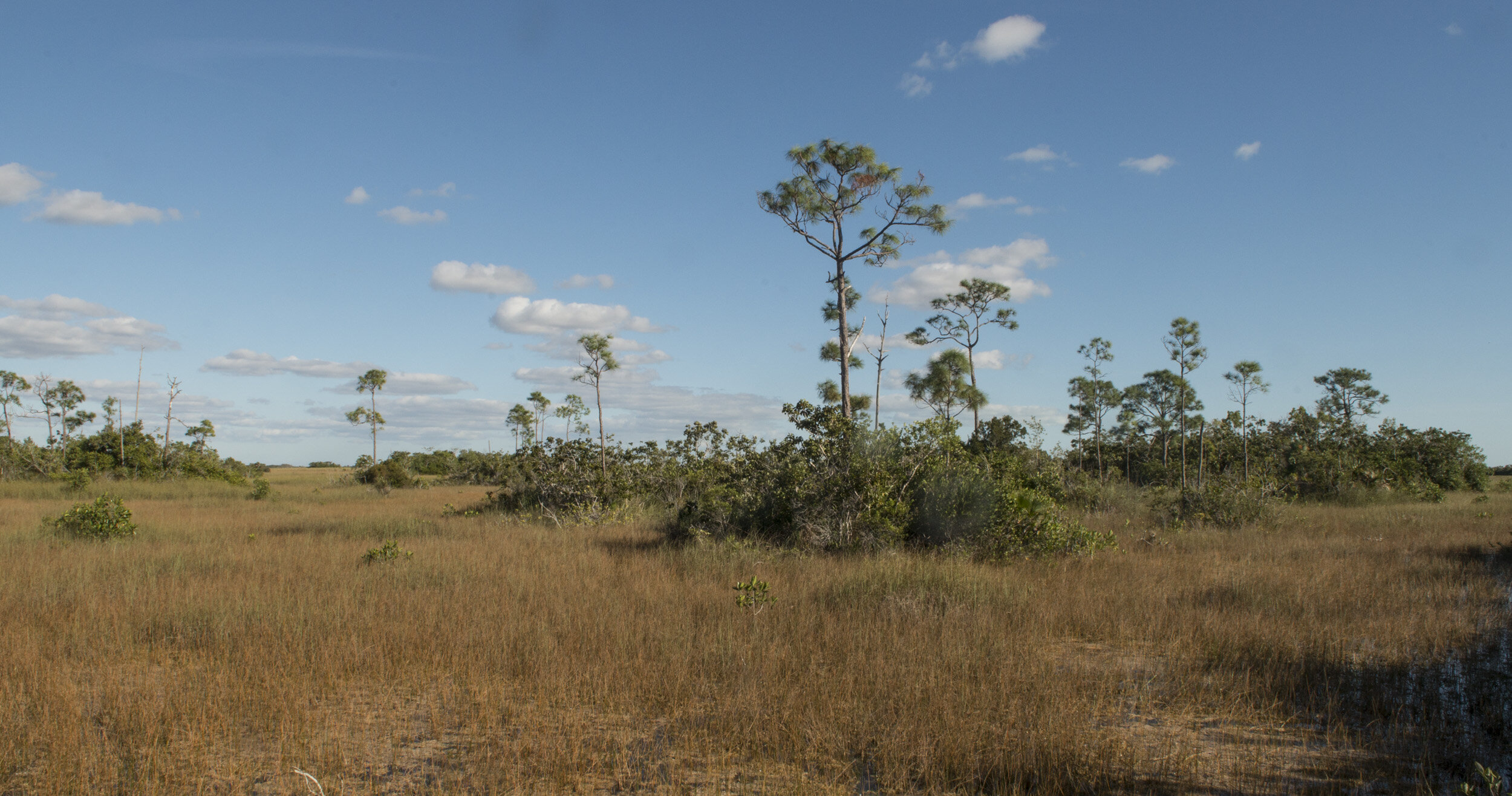
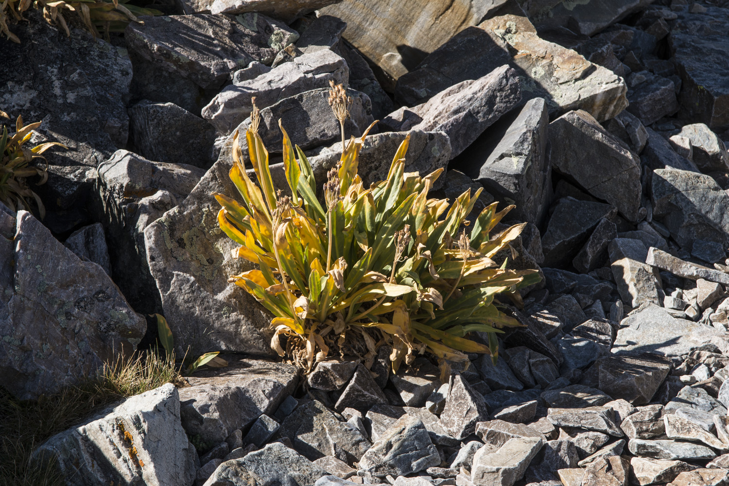
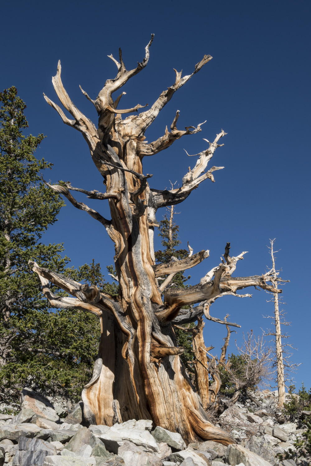
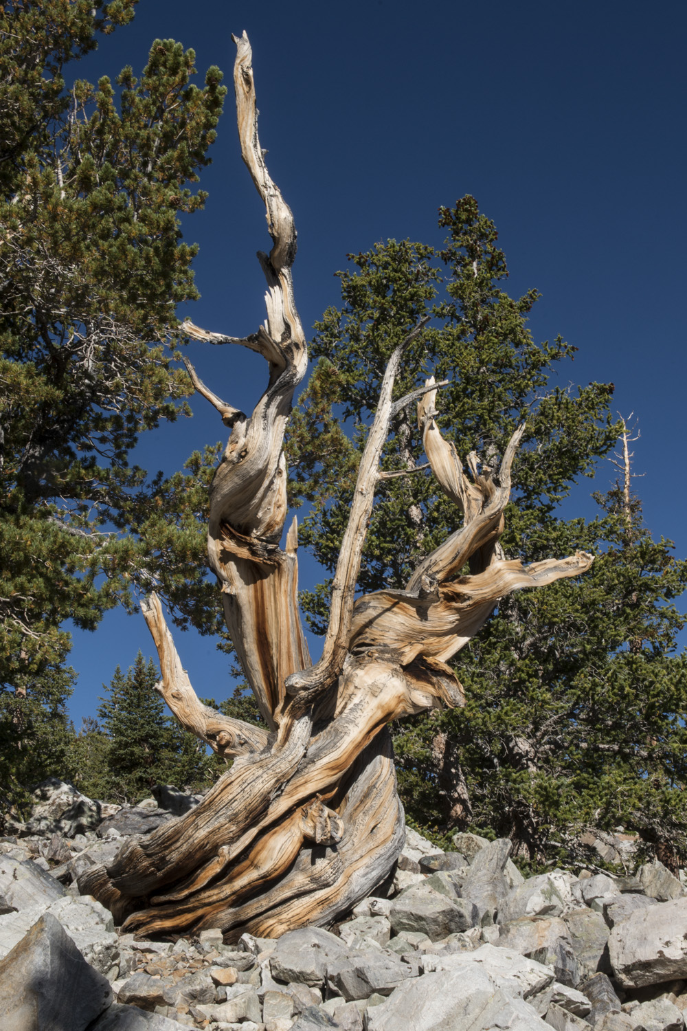
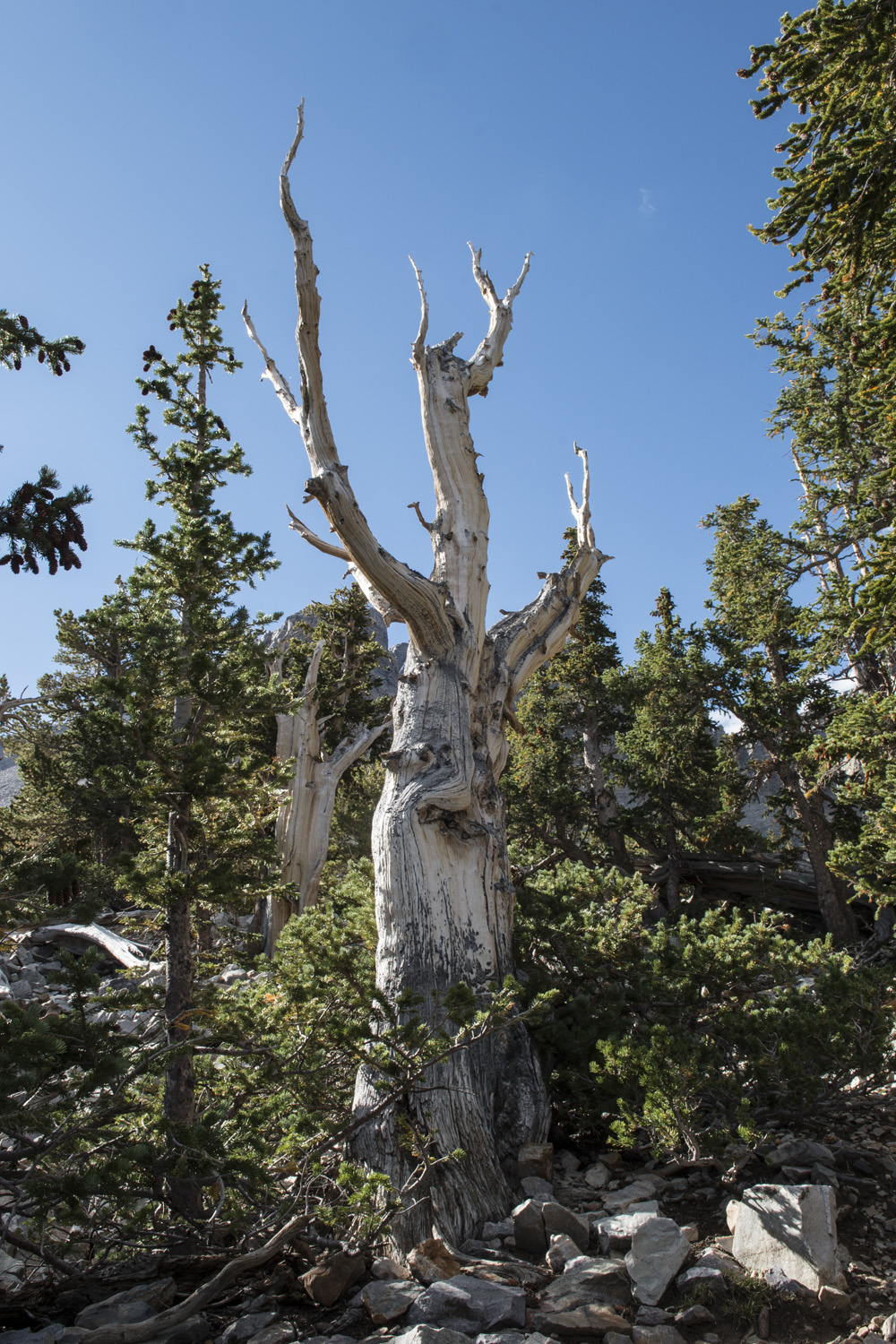
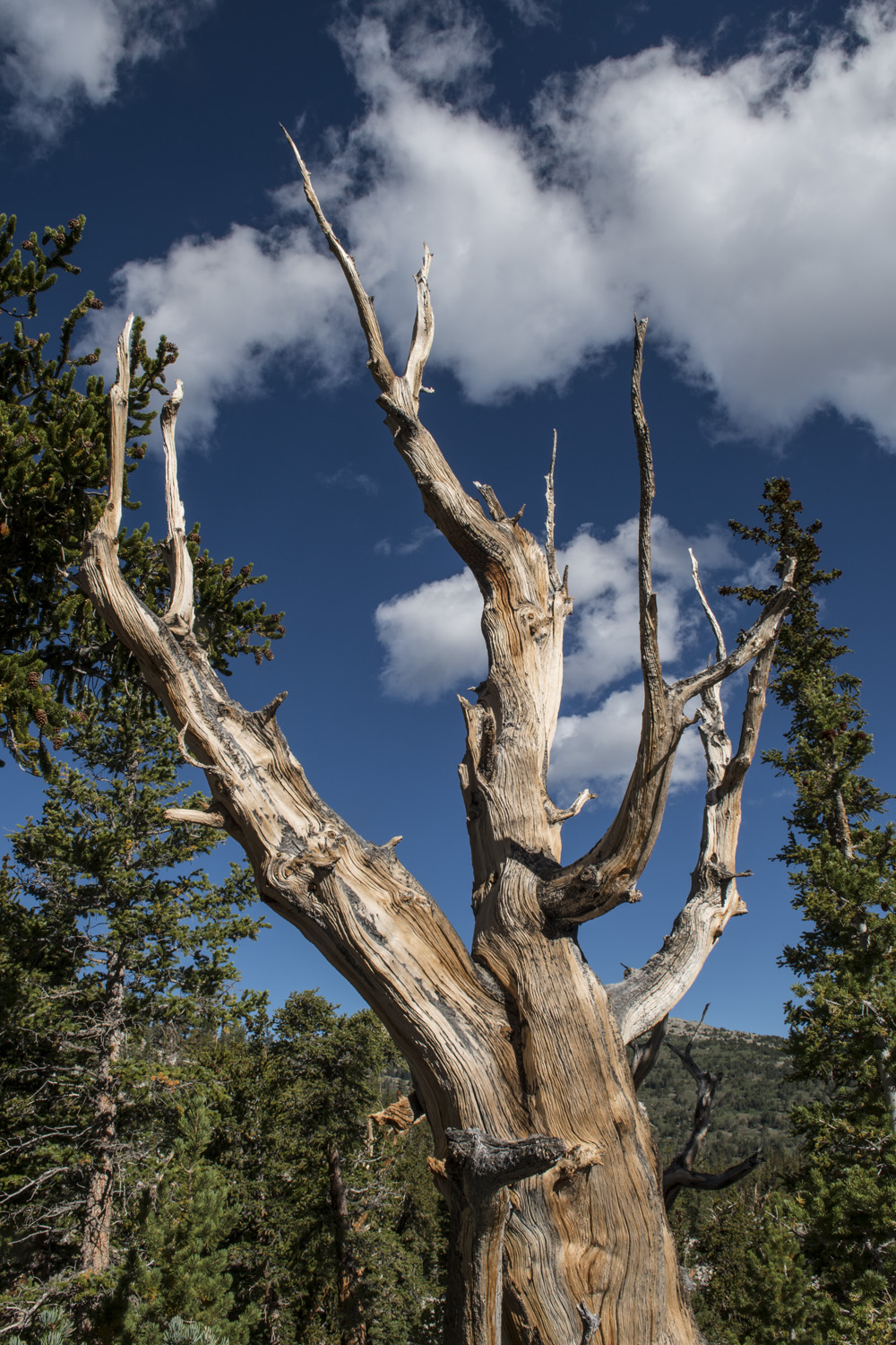
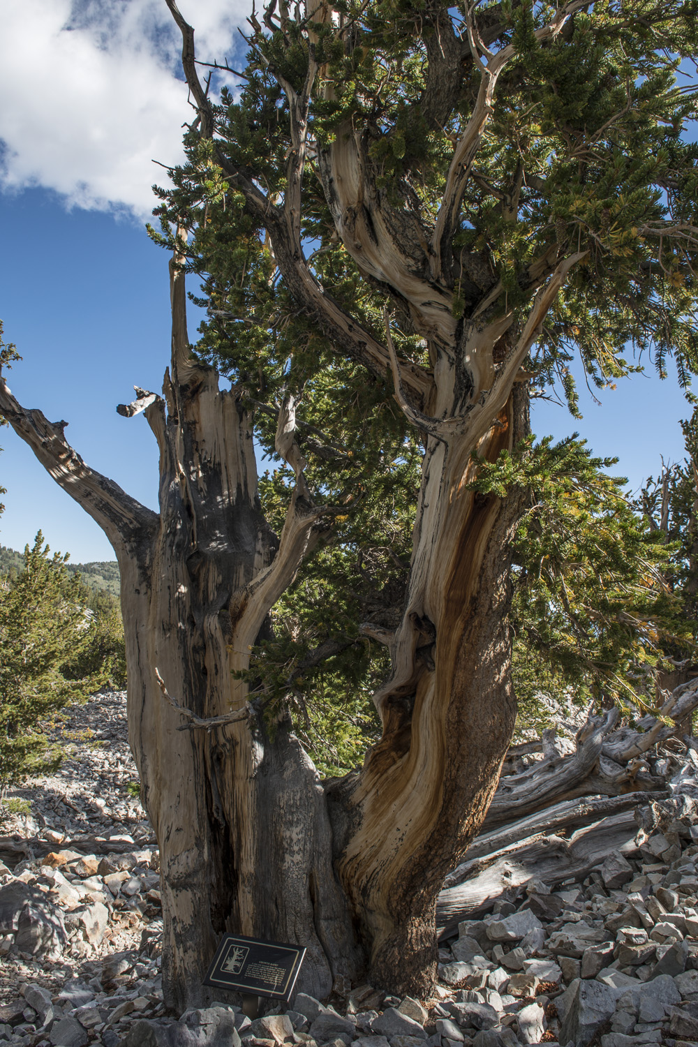
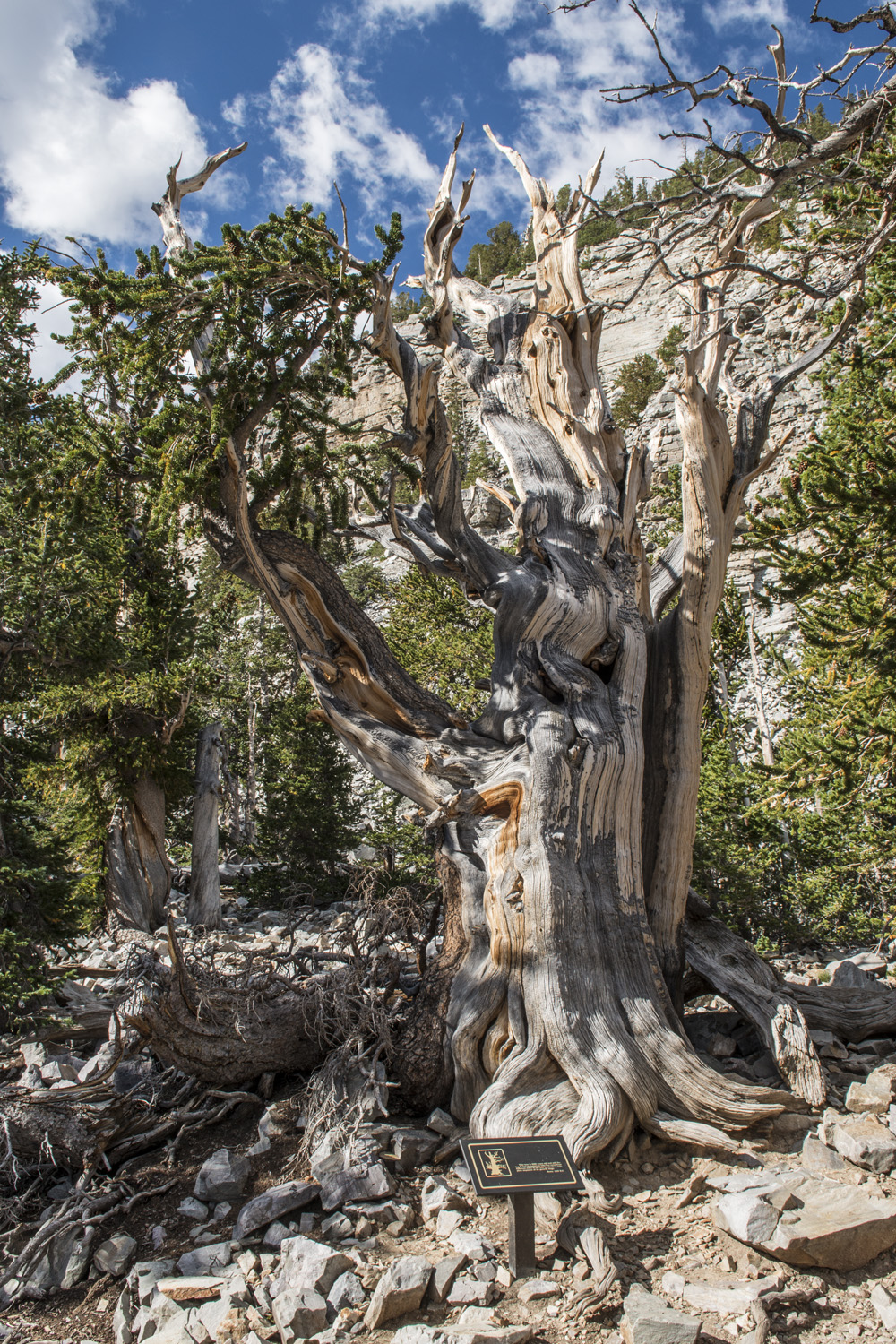
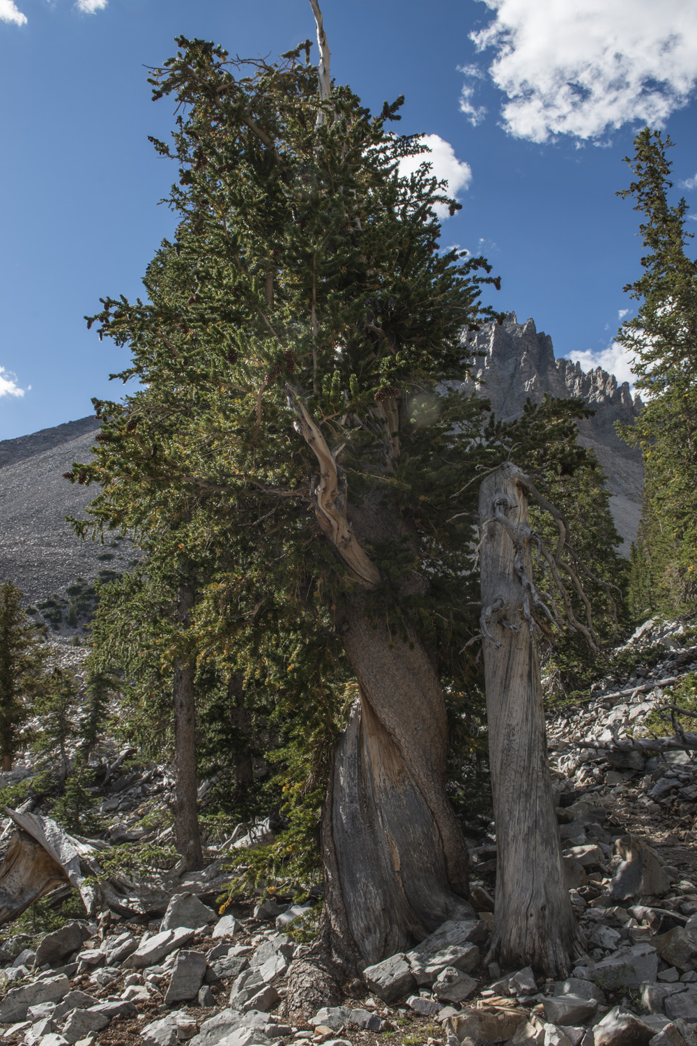
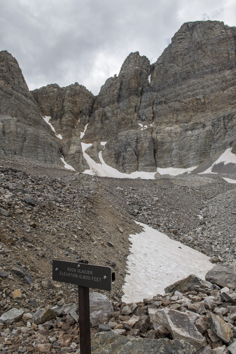
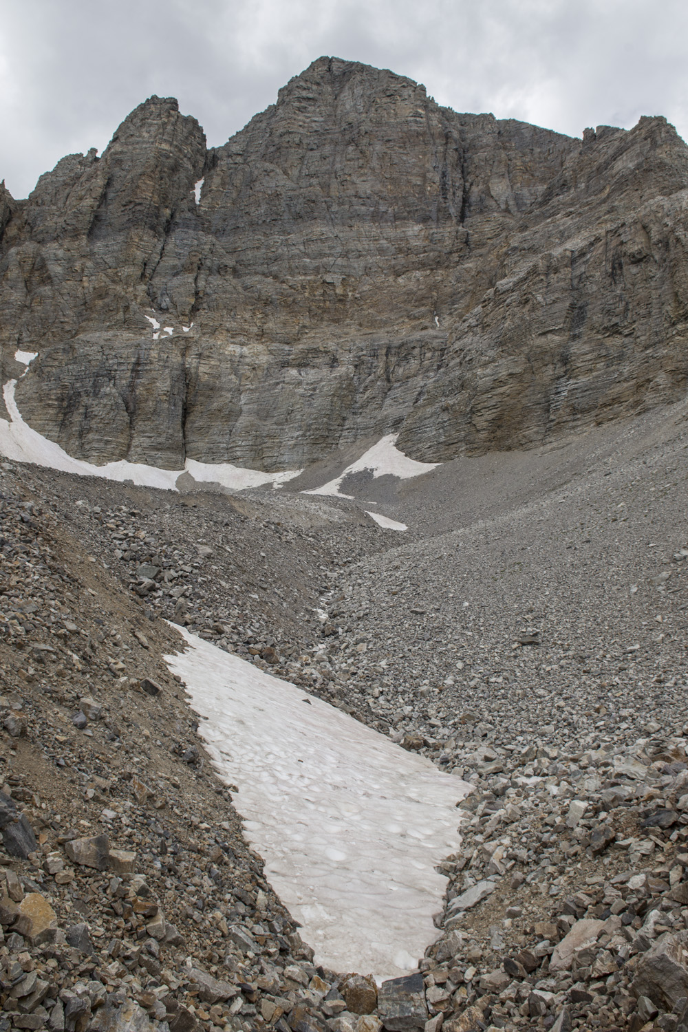
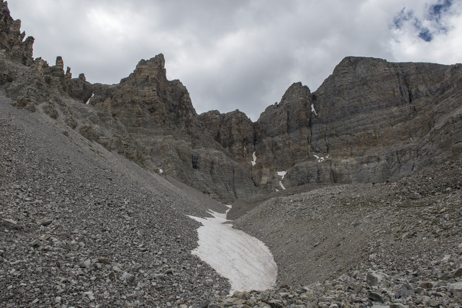
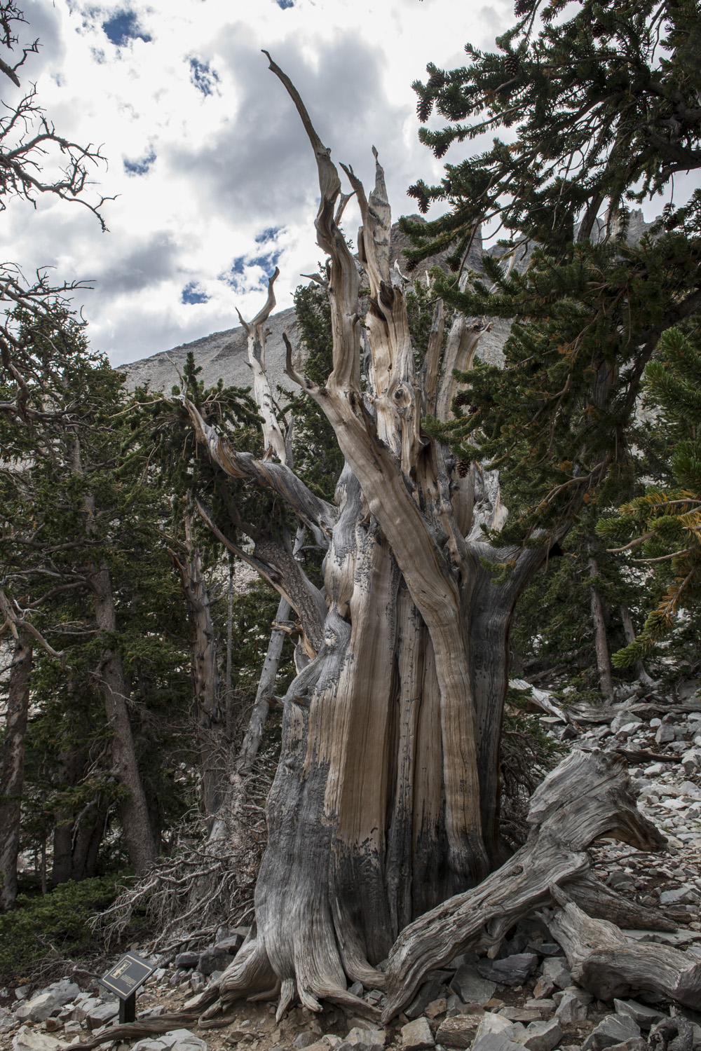
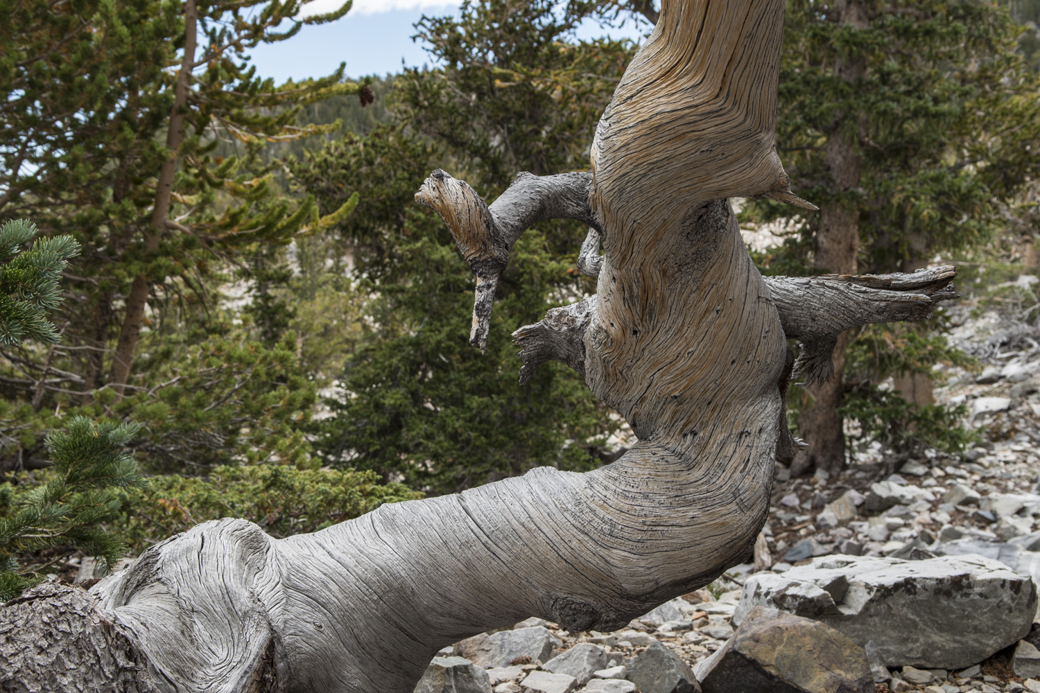
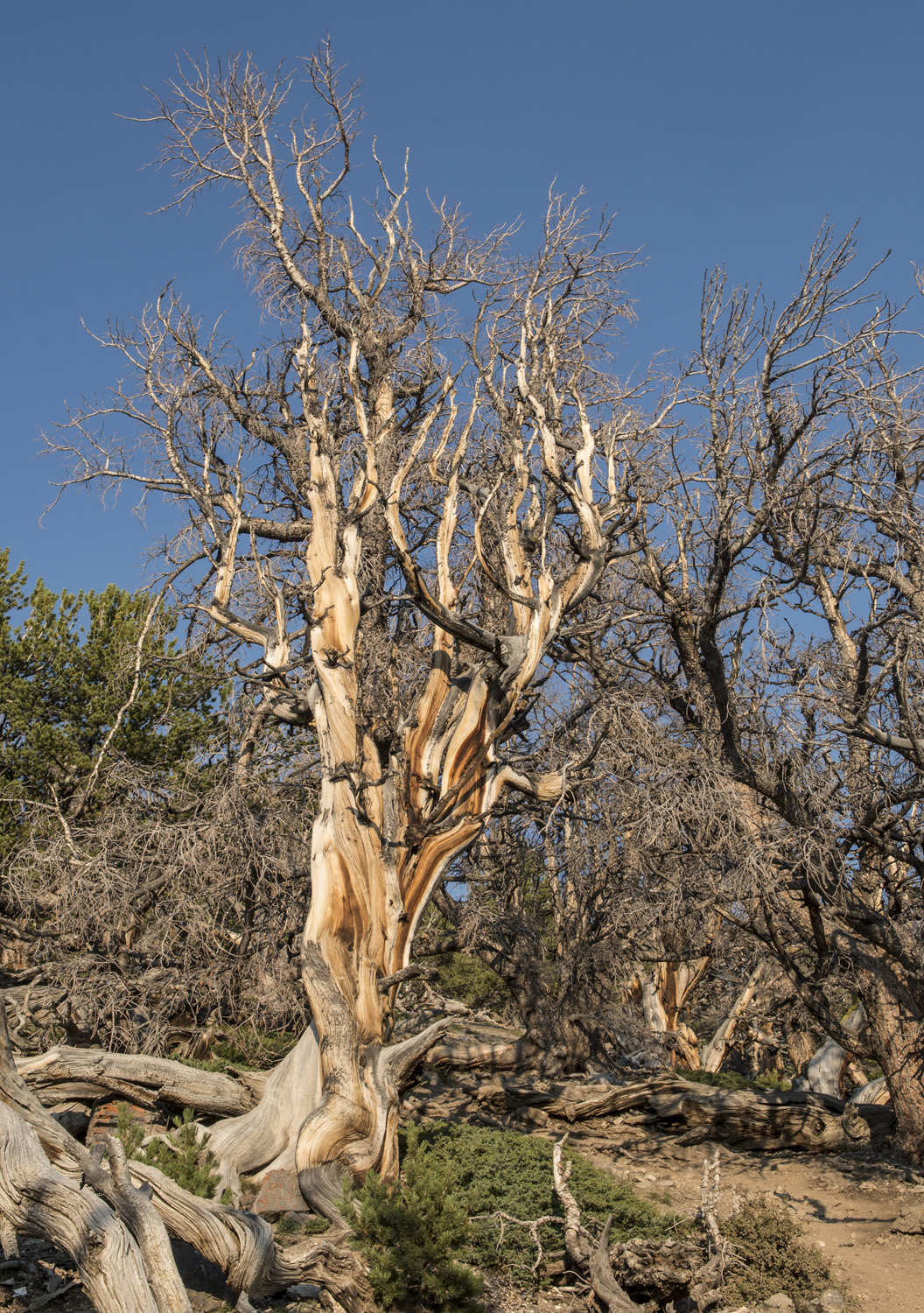
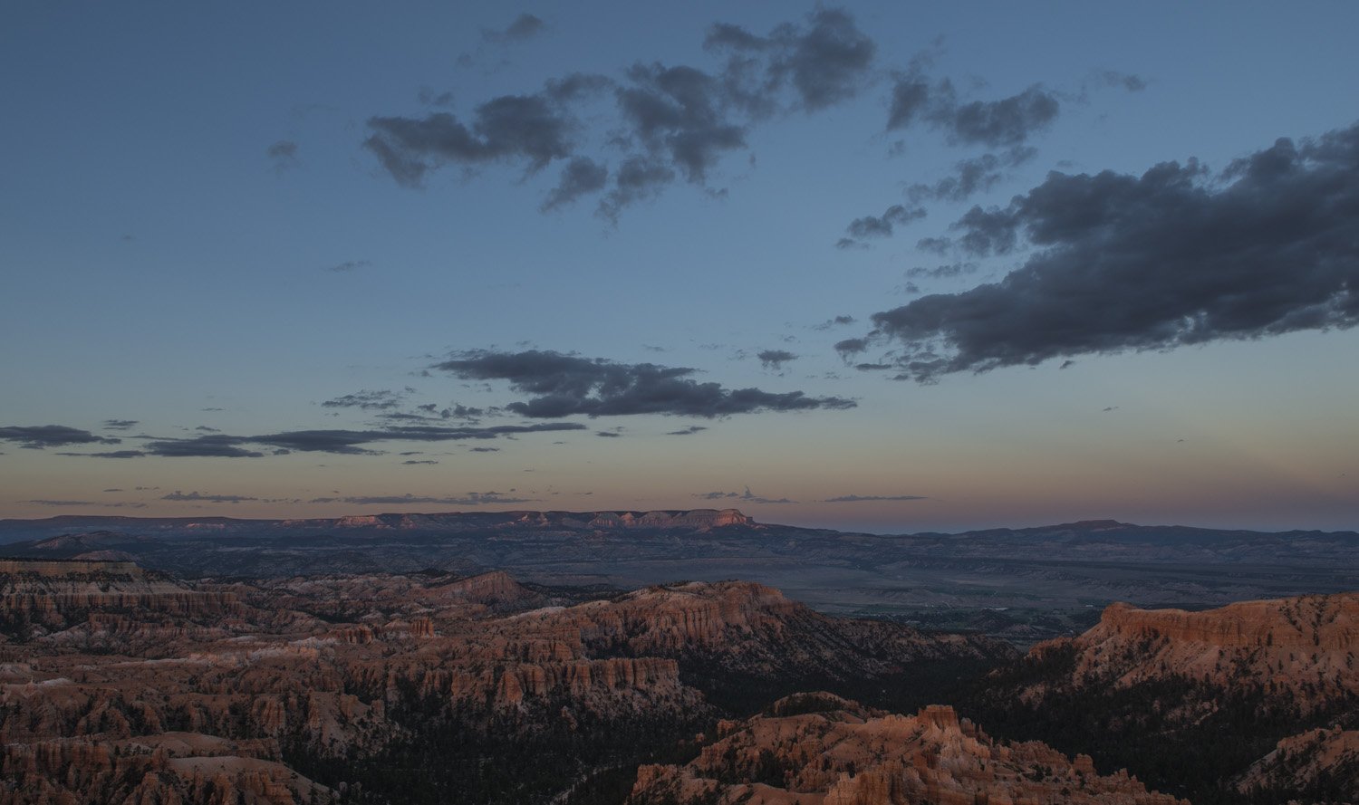
At the end of the Park Road is Rainbow Point. There were views of several more canyons. Not like the hoodoo filled ones of the amphitheater, but stunning nonetheless. There is a short nature trail from the parking lot that leads to a small grove of bristlecone pine trees. It wasn’t as impressive as the grove at Great Basin that I had seen just the day before but it was still interesting. And there were some nice views of the southern end of the park.

The southern end of the park from Rainbow Point

After Rainbow Point it was time to start heading back to Salt Lake City. First though, I desperately needed a shower. The last one I had taken was in Idaho on the day of the eclipse. That was Monday night. It was now Saturday. So I drove back up to the northern end of the park where there was a camp store that had showers for rent. I washed off a week's worth of grime until I felt human again. Then it was over to the visitor center to get my magnets, along with my sticker for having completed the hoodoo challenge.


And that wrapped up an epic week of adventuring. Bryce Canyon and Great Basin were two unplanned for and last minute additions to the trip, and of course climbing to the summit of Mount Borah for the eclipse was an unforgettable experience. But now it was time to head home and to start planning my next adventure. 

DAY TWO GALLERY:


Wheeler Peak, Highpoint of New Mexico. I Hear There’s A Nice View From The Top.

Gwynn and I on the summit of Wheeler Peak

Summit Date: October 11, 2018

DAY ONE:

The trail from Taos Ski Valley to Williams Lake.

After Mount Elbert, Black Canyon of the Gunnison National Park, and Great Sand Dunes National Park, my week-long trip with my new friend Gwynn continued. Our next destination was Wheeler Peak. At 13,167 feet it is the highest summit in the state of New Mexico.

So we made our way down from Great Sand Dunes toward Taos, New Mexico, getting there in the afternoon. The trail head for Wheeler Peak is in the high-end resort area of Taos Ski Valley. The season had not started yet so there weren't any skiers, just workers getting everything ready for the season. Despite being called a valley there was actually a lot of uphill mountain driving, some of which was a little sketchy. We drove past numerous resorts, hotels, and businesses catering to the ski crowd. Eventually we got to the top of the road which is where the trail head for Williams Lake was located.

The plan was to hike up to Williams Lake for the night, get an alpine start for Wheeler Peak, and hike out from there. After my adventure at Mount Elbert I had my fingers crossed that I wouldn’t get sick on this hike. Wheeler Peak was almost 1,500 feet shorter than Elbert and we’d been in the area for the better part of a week at that point so I was probably safe. We got our stuff together from the car and hit the trail.

The mountains surrounding our tent.

The hike from the trail head to Williams Lake was easy going; it didn't take very long. It was mostly through woods and the first part of it we were passing various structures related to the Ski Valley. Just before reaching Williams Lake we passed the side trail that would lead to Wheeler Peak in the morning. We took note of it and continued the short distance to where we would camp for the night. There really weren't any designated campsites so we just picked a spot that looked fairly flat. There was a layer of snow on the ground and we just set the tent up over that. The ground was not suitable for using stakes but there were a lot of rocks around so I used those to tie the tent down instead.

After we made camp we ventured around a little bit. Williams Lake was more of a pond really. It’s only about 100 yards across, but it was almost completely surrounded by the mountains. It was quite a beautiful scene with the snow covered trees and mountains.

Gwynn with some of the local wildlife.

After dinner we climbed into the tent and hunkered down for the night. Despite being nestled amongst some trees in the valley it was still fairly windy, so the tent was flapping all night. It wasn’t as bad as Great Sand Dunes but still enough to keep it from being a restful night’s sleep. In addition to the wind, I discovered that pitching a tent on a layer of snow is not the best idea. Even with my 20° bag and a 3 inch inflatable pad I found myself becoming chilled in the middle of the night. So I took my light puffy coat and laid it on my inflatable pad under the sleeping bag. That seemed to do the trick as I was able to stay fairly warm the rest of the night.

DAY ONE PHOTO GALLERY:

DAY TWO:

Just like on Mount Elbert we got up when it was still dark out to get an alpine start for the summit. After a breakfast of bagels with peanut butter and oatmeal we hit the trail. Also just like on Mount Elbert the first part of the hike was through the woods up to the tree line. After that the view really opened up to the surrounding mountains, or at least the bottom portions of them as it was snowing and some of the summits were obscured by clouds. I believe normally you could see almost to the summit of Wheeler Peak as there are no real false summits to speak of. As we ascended higher we started hitting pockets of deep snow, often postholing up to our knees. If it had been consistently deep then it would’ve been much easier to do it in snowshoes, but it was only in sections where the snow had drifted across the trail. As much as I could, I tried to plow my way through the snow instead of just postholing. I figured it would make the descent a little easier if I broke the snow drifts up first. 

The surrounding mountains from above treeline.

The trail up from Williams Lake is fairly new. Those that have done it in the past say how the trail used to basically go straight up the mountain. Now, however, there is a section of around a dozen switchbacks that zigzag up the west slope. I know some people don’t like switchbacks, but I think it makes hiking so much easier. Yes, it adds distance but it’s also much less steep than going straight up. And when I hike I like to have landmarks to keep track of my progress. So as we ascended the switchbacks section I was able to countdown from the bottom to the top as we passed each bend in the trail. And we were still running into snow drifts across the trail that I was plowing through.

As we were making our way up the switchbacks, a lone hiker was coming down. I stopped him to ask if he had made the summit to get a trip report since I knew we were getting close. He said he made it to the summit ridge but was not able to find the summit so he turned around due to near white out conditions. He didn’t have a map with him so I pulled out mine and showed him where the summit was in relation to the top of the switchbacks. It was just a very short section of the summit ridge to get to the top. He decided to go back up and try it again. He was faster than we were so he disappeared up the trail, getting obscured by clouds. Eventually Gwen and I made it to the summit ridge. This is where things get interesting.

Gwynn working her way up the trail.

The switchbacks were apparently on the side of the mountain that was protected from the wind, because as soon as we got on the summit ridge we were hit by what felt like hurricane force winds. Snow was whipping around and visibility was maybe 50 feet at best. And unlike the sections of patchy deep snow on the slopes, the summit ridge was consistently deep at least up to our knees. It was definitely a struggle to make any distance. I was dressed well enough to where the cold didn’t bother me but that wind was ferocious, making me do the occasional balance check. I looked back at Gwynn who was struggling. I went to see how she was doing. She was really starting to run out of steam and mentioned that she was thinking of turning back. We’re both standing there almost up to our waists in snow. Then, I looked back up toward the summit and could just barely see through the blinding snow a shadowy figure waving their arms. It was the man that we had run into just a little bit before, and he was at the summit! I pointed that out to Gwynn and she got a little bit of a second wind. So we continued on for another couple dozen yards and finally made it to the summit.

Our view, such as it was, from the Wheeler Peak summit. 360-degree panorama.

I’ve seen other high pointer’s pictures from the top of Wheeler Peak showing incredible views for dozens of miles in every direction. That was not our experience. The visibility was maybe dozens of feet. The wind was howling, the snow driving, and the cold was bitter. There is a small windbreak made out of rocks at the summit that we tried to duck behind to get out of the wind a little bit. We didn’t linger too long. I got my shots for my panorama, such as it was, the other hiker we met was nice enough to take our picture, and then we decided to start heading down.

We managed to find a section of trail that got us off the summit ridge before the top of the switchbacks. This got us out of the worst of the wind and crotch deep snow. At this point Gwynn mentioned that her fingers were bitterly cold and starting to hurt. Her gloves were fairly thin and chemical hand warmers are too big for work on gloved fingers. I was wearing mittens and felt fine. I told her to use my mittens so she can get her fingers warm again. She said no, that it was OK. I said I wasn’t asking and took my mittens off and handed them to her. She gave me her gloves and I put them on the best I could. They weren’t made for my big hands but I put them on as far as they would go.

The view coming back down the trail.

So we continued our hike down the mountain. It was amazing how much calmer it was on this side of the mountain than it was the ridge line and the other side. We were making remarkable time down the trail. My strategy of just plowing through all the snow drifts on the way up was paying off, as they were much easier to go through on the way down. Going downhill is not necessarily faster than going uphill, but in this case it was several times faster. We made it from the summit back down to Williams Lake in about an hour. I had shed several layers of clothing by then as I was getting pretty warm, even though it was freezing out. I actually had steam coming off of me. Just below the tree line we ran into two hikers that were heading up. They were not dressed at all for the conditions. They were both just wearing sneakers and sweatshirts. I told them what the conditions were like up the mountain and especially at the summit. Hopefully they heeded my advice.

Once we were back at camp we were deciding if we wanted to take a nap or pack up camp and head out. We both decided that we just wanted to finish hiking out and get going to our next destination. So we packed up camp and headed back to the car. It had certainly been an adventure, and I was happy to have done it without getting sick like I did at Mount Elbert. In fact, I felt great and had shown no signs of altitude sickness. We were both starving so we decided to stop in Taos for some Mexican food. After dinner we got back on the road and headed off to our next adventure.


Return to Adventure Blog main page

Mount Elbert, Highpoint of Colorado. What Goes Down Must Come Up.

At the summit of Mt Elbert

Hike Dates: October 6-8, 2018

Summit Date: October 7, 2018

DAY ONE:

My trip to Colorado came about when I had a week available in October of 2018 and I decided to go somewhere. I didn’t know where yet so I looked up where I could fly direct to from Syracuse, NY (my home city). At the time there were several cities in the east that I could fly direct to but only one city west of the Mississippi River, and that was Denver, Colorado. I looked at the map and started formulating a plan. I would make a large circle route that would take me to the high points of Colorado, New Mexico, Oklahoma, Kansas, and Nebraska, five state tri-point markers, and two national parks: Black Canyon of the Gunnison and Great Sand Dunes

Lobby of the Delaware Hotel


As this would be in October I wanted to get a feel for what the conditions would be like on the Colorado and New Mexico high points, since they are true mountains and this would be potential winter conditions. So I got on the Facebook group for highpointers and asked for advice. Soon after I got a message from somebody in the group asking if they could join my excursion. It was Gwynn, a girl that I had met at the highpoint convention earlier in the year. We had talked a little but had never adventured together. She would be driving cross-country with her boyfriend and was going to be in that area around the same time. So I would be making the itinerary for the week and she would pick me up at the Denver airport with a rental car that she attained after being dropped off by her boyfriend (he was continuing on to the San Francisco area).

The time came for the trip and Gwynn picked me up at the Denver airport right on schedule and we headed to our first destination for the week: Leadville, Colorado. At 10,000 feet, Leadville is one of the highest towns in America, and acts as the gateway town for those heading to Mount Elbert, the highest point in Colorado.

After missing our exit and adding a chunk of time we finally arrived at the historic Delaware Hotel in Leadville. It was late and we were both starving but of course everything was closed. Thankfully, the clerk on duty was nice enough to let us grab a few things from the continental breakfast bar that was set up for the next morning. We took our stuff up to our room and organized our backpacks to get them ready for the next day. After a long day of travel, we finally crashed for the night. 


DAY TWO:

Mount Elbert from just outside Leadville. The small clearing we would be camping at can be seen just below treeline near the middle of the picture.

Gwynn on the trail up to our campsite.

The next morning we checked out of the Delaware and stopped at the Golden Burro, a well-known local restaurant that serves amazing breakfasts. We had our fill of breakfast burritos and headed for the Mount Elbert trailhead. Our plan was to hike up just below the tree line and spend the night, then hike to the summit the following morning,and hike out later that day. My hope was that spending a night in Leadville at 10,000 feet and then another night at treeline on Mount Elbert at 11,500 feet would allow me to acclimate enough to handle the summit at 14,500 feet. Well, that was the plan anyway.

We parked the car at the trailhead, donned our packs, and headed up the mountain. None of the trails on Elbert are technical, it’s a pretty straightforward hike to the summit. And the bottom section was going through woods. It was a well worn path and easy to follow, with only a few sketchy sections due to it being snowy, wet, and slick. Eventually we got to a clearing in the woods that I had seen on Google Maps that was just below the tree line and this would be our campsite for the night. So we set up the tent and made dinner, which consisted of surprisingly tasty freeze dried spaghetti. We settled in for the night so that we could get an early start the next morning.

Our Campsite after a light dusting of snow.

DAY TWO PHOTO GALLERY:

DAY THREE:


After an OK night’s sleep, morning came too early. Our goal was to leave by two or 3 o’clock in the morning in the hopes of being off the mountain before the afternoon. So it was still dark out and would be for a few more hours. It was cold but there was only a thin layer of snow on the ground. Hiking should be fairly easy. So we made some breakfast (bagel with peanut butter and cold oatmeal), put on our packs with our supplies for the day and headed off into the waning night.

Before long we reached the tree line and left the shelter of the forest behind us. From here on out there would be no way to get out of the wind and cold. And we still had about 3000 feet of elevation gain before getting to the summit. The trail was rocky but easy to follow, which was nice since the rest of the mountain was covered in the scree and talus which is always a pain to hike over. After a while it started to lighten up as dawn approached and I was able to turn my headlamp off. By the time the sun broke the horizon we were well above tree line and the views to the east were simply spectacular.

Sunrise from the slopes of Mount Elbert.

Gwynn traversing the slopes of Mount Elbert.


After a while we somehow lost the trail. It was on a particularly rocky section of the slope. We weren’t that far off. I took my phone out to check the GPS and we were maybe a couple dozen yards to the left of the trail. But it was kind of steep and there were a few sketchy sections. It was here that Gwynn decided to turn around. She wasn’t feeling super confident and made the call to go back to our base camp. I decided to keep going, but in hindsight maybe I should’ve gone back with her.

So I trudged up the trail. Mount Elbert is known for, or should I say notorious for, its false summits. There’s probably about four or five of them. This is probably the worst part of mountain hiking because you get filled with hope that you’re almost at the top only to find out that you’re not even close. But I kept on. One foot in front of the other, false summit after false summit. Eventually I started nearing the true summit, and with maybe 100 vertical feet left to go (after a 3000 foot ascent from basecamp) is when I felt it.

One of the false summits on the way up Mount Elbert.


My stomach did a slight rumble. A very subtle but definitely nauseous feeling. It only lasted a second and went away immediately, so I didn’t think much of it and carried on. Had I felt that when I was at basecamp or at the trail head maybe I would have reconsidered the hike. But within a few minutes I was finally rounding the true summit and I could see the top. So I took the last few steps and claimed my 32nd highpoint. I was feeling good at this point so I hung out for a few minutes, took my obligatory selfie, and the pictures I needed to make the 360° panorama for my photo series. I didn’t stay too long since there was a strong wind and it was very cold.

360 panorama from the summit of Mount Elbert.

I got myself together and started heading down the mountain. It wasn’t too long before that feeling kicked in again in my stomach. The feeling kept getting worse and worse. I was getting very uncomfortable and I finally stopped on the trail. I just leaned off to the side leaning on my trek poles. Soon enough I was throwing up. I had elevation sickness. Son of a bitch.

I had been hoping that the night in Leadville and the night at tree line would be enough for me to acclimatize to the elevation. I was wrong. After I was done throwing up I got back on the trail and continued heading down. There’s really only one way to get rid of elevation sickness once you have it, and that’s to come back down. After about an hour the feeling was coming back again, so I stopped again and threw up again. But since I had gotten rid of most everything on the first go around, it was mostly just dry heaving. This continued two more times. It took me four hours to get back to basecamp and I stopped once every hour to throw up. I would stop once in a while to take a breather. I really just wanted to lay down and take a nap. But I had to keep going. The only thing that was going to help was to go back down. I felt absolutely miserable.

View from near the summit of Mount Elbert.

Eventually I made it back to the tree line and I soon ran into a group of four young women that were headed up. They stopped to ask me how the hike was. I wasn’t sure how I looked, but I was trying to act like I didn’t feel like a pile of dog poop. They didn’t seem like they were dressed for what was ahead of them so I gave them a warning about how windy and cold it was. I discovered one of them was from the Syracuse area and so I pulled out my SU water bottle. Go Orange!

I continued on a short way and reached the clearing where our tent was. It was such a relief to see it. I finally made it back to the camp and sat down on a log just outside the tent. Gwynn had made it back a couple hours before I did. She said I didn’t look well, apparently I was some shade of green. I told her how I made the summit but that I was paying for it now.

It was hard to get up off the log since I was enjoying the pure ecstasy of not having to hike anymore. But I mustered some strength and got up. I stowed my pack outside, went to the bathroom, and crawled into the tent. I got into my sleeping bag and proceeded to not move the rest of the day. Ideally we should’ve packed up camp and hiked out so I could get back down to 10,000 feet. But I just didn’t have any gas left. I was done for the day. Although I was done throwing up for the day, I also had zero appetite and felt like I couldn’t keep anything down. I tried a few bits of trail mix and a few sips of electrolytes but that was it. Luckily I felt warm enough in my 20° bag and a few base layers. Meanwhile, Gwynn was basically wearing every layer she had inside of her 0° bag.

So the rest of the day was completely uneventful. I just laid there in my sleeping bag hoping my symptoms would pass and I would start to feel better. Gwynn and I passed the time talking and telling stories. Eventually night came and I got an OK night‘s sleep.

DAY THREE PHOTO GALLERY:

DAY FOUR:

New snowfall at our campsite on our last morning.

The morning came and I felt much better. As I woke up and started looking around I noticed a shadow running the full length of the tent about 6 inches up from the bottom that wasn’t there the day before, and the tent wall was pushing in just a little bit. I unzipped the door on my side of the tent to investigate. Sure enough, it had snowed 6 inches overnight. So what had been just a dusting of snow the day before now had some actual depth. It was actually quite beautiful outside as all the trees around us had a thick layer of snow on their branches. In the spirit of the moment I started singing “CAMPING IN A WINTER WONDERLAND!!” in the most joyous voice I could muster. Gwynn was not amused. In a creepily calm voice she responded, “I have so much anger inside me right now”. 

Getting ready to head back to civilization.

Had we hiked out the day before as planned we wouldn’t have had the snow to deal with, but now we have 6 inches of fresh powder to hike through. It wasn’t bad though. I’m from Upstate New York and Gwynn is from Vermont so it’s not like we haven’t seen snow before. I had a little bit of breakfast since I was actually feeling hungry for the first time in 24 hours. Then we packed up camp and started to hike out to the trail head.

The snow wasn’t quite as deep in the woods as it was in our little clearing. Plus it just felt good to hike feeling like a normal human. I was pretty miserable on that hike down from the summit the day before. So we carried on, and before long we were back at the trailhead. We loaded up the car and headed back into town. We wanted to get something to eat before heading to our next destination, so we went back to the Golden Burro. It was safe to say that my appetite had been fully restored as I practically inhaled my burrito. And with that, my first adventure with my new friend was in the books.

View from near the trail head.


Voyageurs National Park, Minnesota. Third time’s the charm.

Park visit: July 21-24, 2019

Park visit: July 21-24, 2019

DAY ONE: ASH RIVER TO AGNES LAKE

Our canoe route from Ash River visitor center, up Lost Bay, and the short hike to Agnes Lake.

Our canoe route from Ash River visitor center, up Lost Bay, and the short hike to Agnes Lake.

Finally getting to Voyageurs National Park felt like a major accomplishment. It was my third attempt at trying to get here. The first was in 2011 on a winter ice fishing trip with my brother and his friends to Lake of the Woods, about two hours west of Voyageurs. To get to Lake of the Woods we had to drive right past the entrance to Voyageurs. I asked about stopping, but the trip was all planned out already by other people. I was just along for the ride. Seeing the park sign and not stopping was tough. I justified it by telling myself it was February, bitter cold, and options in the park would have been extremely limited. 

Gwynn and I at the top of summit tower of Timm’s Hill on our way to Voyageurs.

Gwynn and I at the top of summit tower of Timm’s Hill on our way to Voyageurs.

My next attempt was summer of 2014 when I had planned to visit the park, along with the highpoint of Minnesota, Eagle Mountain, on my way to my annual highpointers convention in Iowa. I had a couple campsites reserved, my kayak rental was set, and I was going to explore the park for a few days. Then a month before that trip was to start, I was in a mountain biking accident and broke my collarbone. I had surgery to fix it just a few weeks before the trip. It’s hard to paddle a kayak or carry a pack with only one good shoulder, so I made the decision to scrap the whole Minnesota leg of my trip. My bandages didn’t come off until the day I left for Iowa and I still had a very limited range of motion in my right arm. I wore button up shirts for weeks because I couldn’t even put on a  t-shirt. That was disappointing. 

I finally had success in 2019 when I once again planned to visit Voyageurs and Eagle Mountain as part of a week-long highpoint convention trip. This time I would have company. My fellow highpointing friend, Gwynn, would be coming along. We had previously done a national park/highpoint road trip the year before and had an excellent time. Check out our trip to Great Sand Dunes National Park. I picked her up in Madison, Wisconsin, and hit the road. On our way to the park, we bagged Timm’s Hill, the highpoint of Wisconsin. 

The next day we arrived at the park. Our first stop was to pick up our canoe rental at Northern Lights Resort, on the west side of Kabetogama Lake. They supply the boat, oars, and life jackets. You can start your trip and put in right there at the resort, but since we were putting in at the Ash River visitor center, we had to lash it to the roof of my car and drive it the 20 miles over there. 

Gwynn and I paddling through Lake Kabetogama to our first campsite.

Gwynn and I paddling through Lake Kabetogama to our first campsite.

Once at Ash River, we stopped in the visitor center to buy our souvenirs while we knew the gift shop was open and checked in with the ranger. It’s not required to check in, but it’s always good practice, in case there is any last minute info they might have and just to make them aware that you’ll be in the park. 

Once we got the canoe in the water, got our gear loaded, and made use of the last bathroom we’d see for several days (sort of), we got in and shoved off. It was then that I felt I finally had made it to the park. Not another near miss, but actually in the park and doing park things! 

It was a beautiful day. Clear skies, a light breeze, and calm waters. I was up front and Gwynn was in the back. Apparently, manly men sit in the back since that’s where you steer from. But she recently had practiced steering a canoe before our trip and I hadn’t, so it was an obvious choice to have her do it. I was the one that had made the reservations and knew where the campsites were, so I navigated. It was a good team. 

Our first destination was the campsite at Agnes Lake. From Ash River we would head in a westerly direction on Kabetogama Lake for about 2.5 miles and then take a sharp turn to the north east up to the end of Lost Bay, another 3.5 miles. From there it’d be a short half mile hike to the Agnes Lake campsite. Agnes Lake is one of over 200 campsites in Voyageurs. While there are campgrounds a short drive outside the park, there are no road accessible campgrounds inside the park. You can only get to them via watercraft, while some require a hike after you’ve gotten off your boat. Plus, all these sites are individual sites, not multiple site campgrounds. So no matter which one you choose, you won’t have any neighbors.

Our campsite on Agnes Lake

I had been doing some kayaking recently but I hadn’t been in a canoe since I was a kid. It was great. Very serene and relaxing. We took our time, enjoying the ride as we passed lush green shores and several of the small islands that dot the park. While Kabetogama Lake seemed huge, we were still at the narrower eastern end of it. The western side is much larger. Soon after entering Lost Bay, we got a preview of  what would be our third and final campsite in a few nights, Eagle View. It was right on the water and looked lovely. 

We eventually reached the end of Lost Bay where there was a small dock. I had brought my bike chain and lock so we could secure the canoe to the dock. I didn’t want it to drift away or be stolen. It was a short hike to the campsite, so I didn’t bother putting on my hiking boots. I just kept on my sandals. 

Voyageurs is a pretty flat park. The trail to Agnes Lake has a gain of only about 50 feet, with a somewhat steep drop back down to the campsite. The campsite itself is on an open slab of rock on the shore of Agnes Lake. The lake is more of a pond, less than half a mile at its widest point. And we were pleasantly surprised to discover a couple loons hanging out on the lake! We heard their tell tale calls first, and then saw them cruising around the north end of the lake. 

After getting the tent and the kitchen area set up, it was time for a swim! We got our swimwear on and got in. The rock slabs under water were slimy and very slippery. Care needs to be taken when entering the water from the campsite. I kept to where I could still touch bottom, Gwynn wandered right out to the middle of the lake. Even in the middle of summer the water was cool and refreshing. 

After dinner we packed it in for the night. My first day in Voyageurs was at an end, and I was just happy to finally be there. 

DAY ONE PHOTO GALLERY:

DAY TWO: AGNES LAKE TO RAINY LAKE

Our hiking route from Agnes Lake to Rainy Lake via the Cruiser Lake Trail.

Our hiking route from Agnes Lake to Rainy Lake via the Cruiser Lake Trail.

After breakfast we packed up the camp and started making our way to our next destination, Rainy Lake. Rainy Lake is the other really big lake in Voyageurs NP. It sits north of the peninsula and straddles the U.S./Canadian border. I really wanted to spend at least one night on Rainy Lake, seeing Canada less than two miles away. Being a geography nerd, I find that sort of thing cool. To get there we would have to hike the nine mile Cruiser Lake trail, one the few trails that crosses the interior of the park. It connects Lost Bay with the south shore of Rainy Lake. At the end of it is Windmill Rock campsite, the only site on Rainy Lake accessible from the trail.

As I mentioned, there is not a lot of elevation change in Voyageurs, so our total gain over nine miles was maybe a few hundred feet, after factoring in the ups and downs. One of the biggest single gains was the short climb out of our campsite on Agnes Lake. Our first stop would be the trails namesake, Cruiser Lake, where we planned to have lunch.

The terrain along the trail consists mostly of forest, with occasional grassy marsh areas centered around small ponds. We soon came upon one of these marshy areas, with grass up to our waists. Many of the small water crossings have plank bridges, just to keep you out of the muck. As we crossed one of these bridges I noticed the land sloped up abruptly about 20 feet off the trail. After further inspection we realized it was a beaver dam! It ran parallel to the trail and was maybe 50 feet long. I had never seen a beaver dam up close. So once I was past the short section of tall grass, I carefully maneuvered my way up to the dam until I could see the top of it and the pond on the other side. They really are amazing. These incredible structures built by such tiny creatures.

Beaver dam along the Cruiser Lake Trail

Cruiser Lake is roughly at the midpoint on the trail between our canoe and our campsite on Rainy Lake. There is one campsite there, on the lake’s north shore. Nobody was there when we stopped so we made use of the benches to have lunch. We also discovered what the campsite pit toilets are like. It’s a standard pit style toilet… and that’s it. No building. Just a toilet in the middle of the woods. It’s privacy comes from the fact that it is off the trail about 100 feet. And bring your own toilet paper. We figured Agnes Lake must’ve had one as well and we just never found it. 

We continued on with the northern half of the Cruiser Lake Trail. Not as many marshy, grassy areas on this section. There were however several sections of the trail that were overgrown with tall plants, such as ferns. It was often up to our waists. This will come up later. 

Gwynn up to her waist in ferns on the Cruiser Lake Trail

Wolf scat on the Cruiser Lake Trail

Further on, we came upon some scat on the trail. It was full of hair, so we figured it was a coyote or wolf. As it so happened, a woman came hiking up the trail. She was working for the park and was on her way to do some back country research. She confirmed that it was wolf scat. She would also be the only other person we saw that day (and first since entering Lost Bay the day before). We also saw moose scat, but never saw a moose.

As the trail wore north, it did gain a bit of altitude. It’s still a flat park so it wasn’t much, but it was enough to get a decent view of Peary Lake, a small pond just west of the trail. In the tall trees of this area, we spotted one of the few four legged critters we would see in the park; a marmot. It was high up in a tree just checking us out as we walked along. 

At long last we reached the shores of Rainy Lake. The trail came out onto a rock slab that led right down to the water. We had to traverse this slabby section for about 100 yards until it ended at a small beach. I saw a sign that read “Windmill Rock View”. This was it! We finally made it to our campsite!

Set in a small cove, our campsite had a nice view of Rainy Lake and Canada on the other side. After getting camp set up I took a quick break at the picnic table. As I was sitting there with my head down, that’s when I saw the first one. A small, brown, flat insect crawling up the leg of my hiking pants. A tick. I should’ve been more concerned than I was, but honestly wasn’t 100% sure it was a tick. Being from the northeast where Lyme is a problem, I should’ve been sure. I flicked it off, took a quick look over my clothes, and carried on. 

Since we were both hot and sweaty, we decided to go for a swim. The water of Rainy Lake was brisk, but it did feel good after a long day of hiking. I wore my blue sun shirt in the water, hoping to rinse it out a bit after sweating in it all day. I had been weightlifting for a while before this trip and I had made some gains. I wasn’t exactly Mr. Olympia material or anything, but it was noticeable (to me anyway). I looked down and saw the way my shirt was clinging to me and I was like “damn”. I’m not usually one to feel confident about my body, but I looked good in that wet, clingy shirt!

360 panorama from near our camp site on Rainy Lake.

Taking a walk along the shore of Rainy Lake at the end of the day was really cool. I wondered off by myself hopping rocks and bobbing and weaving around trees. I made it out to a point of land not far from the campsite. I was just me with a light breeze, the waves gently lapping the shore, and Canada in the distance under a dusky sky. I love these little moments on trips where it’s just me and nature and the rest of the world slips away for a bit.

Sunset over Rainy Lake with Canada in the distance

Speaking of nature, after dinner and watching the sunset over Canada, Gwynn and I got in the tent to settle down for the night. And that’s when I heard it; the panicked cry of “JAAAMMMES!!!”. I looked over to see what was the matter. Gwynn had pulled her shirt up, exposing her stomach. And there they were; ticks, and they were attached. The big round kind, “flappers” as we would later come to know them as. There were a few on the front and she had me check her back where there were more. I helped get them off by placing the body between the pads of thumb and forefinger and then gently rolling my fingertips toward each other until my nails almost met. Once I had a firm grasp, I gingerly pulled until the tick came out. Then I tried to kill them as I was taking them off. They’re really hard to kill. You can’t really crush them, since they’re already flat. I used my pocket knife to try to cut them in half. Even that took some effort. In all I helped remove more than half a dozen from her upper body. 

Then I turned my attention toward myself. My upper body seemed clear. Then I started checking my legs. There they were. I pulled off five ticks from my legs. I spent the next ten minutes anxiously quadruple checking every part of my body for ticks, from the top of my head to the bottoms of my feet and everywhere in between. Every little tingle had me worried there was another one, but I only found the five, which was plenty. I had been wearing full length pants all day, so how did I have so many on my legs? And not just at the waistline or cuffs, but down my thigh and the top of my calves. In the northeast ticks are taken seriously, so this was an unsettling experience. Once we were fairly certain we got them all, we tried to settle back down and get some rest to do the hike back to Lost Bay in the morning.


DAY TWO PHOTO GALLERY:

DAY THREE: RAINY LAKE TO LOST BAY

Our hike and canoe route from Rainy Lake to Lost Bay.Stopping for a break at Cruiser Lake on our way back from Rainy Lake…

Our hike and canoe route from Rainy Lake to Lost Bay

The small cove at our campsite

After breakfast and breaking down camp, it was time to start the long trek back to the canoe. We retraced our steps back down the Cruiser Lake Trail toward Lost Bay. We stopped for lunch again at Cruiser Lake and again had it to ourselves. We actually saw a few other hikers along the trail this time.

After several hours we made it back to the canoe, where it was still thankfully chained to the dock. This is one park where you don’t want to be stuck without a watercraft of some kind. There are no trails from where we were back to civilization. It would involve several miles of shore hiking/bushwhacking/swimming just to get back to the Ash River visitor center. On the plus side, there was cell service, so in the event we were stranded we could just call for help. 

The quaint little forest near our campsite

We loaded up the canoe and made the short paddle down to Eagle View campsite on the north shore of Lost Bay. The site had its own little cove that we could pull into with the canoe. After getting the tent set up, I started to explore a little. Eagle View sits on a wide point of land, about 200 yards across, that juts out into Lost Bay. The cove and campsite are on the east side of the point. On the west side was, well, that’s what I wanted to find out. 

A small trail led away from the campsite to one of the open air pit toilets that we had become accustomed to. Good to know. But the trail continued past the toilet. I followed it to what would become one of my favorite spots on the trip. The trail came out into a small area with water on three sides, a solid canopy of trees and not much in the way of shrubs or bushes, allowing you to move freely around the area. It was in equal measure unremarkable and yet oddly quaint and charming, like something you’d see in a hazy fairytale movie. 

We spent the rest of the day hanging around camp. Gwynn wasn’t feeling the best, so our adventuring was over for the day. It was a another nice day, so sitting at the picnic table watching the world go by wasn’t a bad way to pass the time. As I sat at the picnic table, dragonflies started buzzing around. First a couple, then a few more, and before too long the area around the picnic table was swarming with dragonflies. It was so cool! It stayed like this for a good ten or fifteen minutes, them buzzing around me in seemingly random directions. Then, just as they had drifted into our site, they slowly drifted away to parts unknown

DAY THREE PHOTO GALLERY:

DAY FOUR: LOST BAY TO ASH RIVER

Our route from Lost Bay back to Ash River visitor center.Taking one last walk around the campsite before heading back to the visitor center.

Our route from Lost Bay back to Ash River visitor center.

A beaver swinging by the campsite

Our last day in Voyageurs saw us (ok, me) getting up with the sun. I crawled out of the tent and went over to our little bay to watch the sunrise over the peninsula. As I was standing there taking pictures of the sunrise, a beaver went swimming by. I watched as it chugged along, eventually disappearing into one of the small coves that line the shore. Aside from insects, our encounters with wildlife had been few and far between up to this point, this being the second larger animal I’d spotted. It was nice to catch a fairly close up glimpse of one of the larger mammals of the park.

The rest of the morning consisted mostly of breakfast, breaking camp, and one last stroll around the fairy forest. This may have been my favorite site out of the three we stayed at. Once we were all packed up we hopped in the canoe and started making our way back to the Ash River visitor’s center. This would be a 3.5 mile paddle, the second longest of the trip. The weather was perfect and the waters were calm. Only stopping once in a while to take pictures, it was a leisurely paddle back to Ash River. Back on shore, we got the canoe loaded up and dropped off at the rental place. And with that, my trip to Voyageurs National Park was over. After a heartbreaking drive-by and another canceled trip, I was finally able to visit this park that lives and breathes on the waters that flow through it. 

360 panorama from the canoe on our way back to Ash River Visitor Center.

If I were to visit here again, I would probably skip the hiking and concentrate on exploring the waters more. There’s not a lot of hiking in Voyageurs and I’ve now done the major trail in the park. Many of the islands have campsites on them and I would love to check those out. I love small islands, but all three of our campsites were on the peninsula. Island hopping around Kabetogama Lake or Rainy Lake for a week would be great, or even paddling up to Kettle Falls Hotel and camping along the way would be splendid. If I don’t make it back, I can finally say I have at least one adventure in the books for Voyageurs National Park.

DAY FOUR PHOTO GALLERY:

A short video from Voyageurs National Park


Hinchinbrook Island National Park, Queensland, Australia. My Own Personal Walkabout.

At the end of the Thorsborne Trail waiting for the ferry to pick us up. Exhausted but happy.

At the end of the Thorsborne Trail waiting for the ferry to pick us up. Exhausted but happy.

Park visit: September 19-23, 2000

If you haven’t already, check out my post about my scuba diving trip in Great Barrier Reef Maritime Park just a few days before this, which has a little general setup of my trip to Australia. Just like that post, this one will also include the transcription from my hand written journal that I kept for this trip. 

Once I decided I was diving the Great Barrier Reef (GBR), I bought a Lonely Planet book on islands of the GBR. One island kept catching my eye: Hinchinbrook Island National Park. It had a long hiking trail on it, the Thorsborne Trail, and was accessible by regular ferry service. I found my next Australian adventure!

I spent five days and four nights hiking the 30 km long trail. I met a bunch of cool people, saw some amazing scenery, and gained so much experience as an outdoors person. This was my first major backcountry hiking experience. I bought my first hiking backpack and first pair of serious hiking boots just for this trip. I also learned that dehydrated meals don’t really soften up just letting them soak in cold water. You actually do need a stove. Had I tested this hypothesis I would have known this. Lesson learned. However, cold apple and cinnamon oatmeal actually isn’t bad. 

One thing I did not get to do, however, was visit the wreckage of a WWII plane. On December 18, 1942, a B-24 Liberator crashed into Mount Straloch, at the island’s south end, during a storm. It’s hard to get to, but I had found a guided hike to it. They changed the day of the hike at the last minute and I simply wasn’t able to fit it in my schedule. After missing out on the Yongala dive, I’m convinced someone didn’t want me seeing wrecks on this trip.

It is an adventure that I will never forget. I wouldn’t mind going back there sometime. The waterfalls alone are worth the trip.

Here is a map of the island with all the major places I’ll be talking about, so you can follow along:

custom map.jpg

Tuesday, Sept. 19, 2000

Up with the sun today, about 6:00 a.m. Took the last hot shower I’ll have until Saturday. I got lucky in that there’s a free pancake breakfast on Tuesdays at 7:30. So I have that going for me anyway. I think I came up with a solution to my bomber wreck problem, so after breakfast I’ll call the south end ferry to run it by them. This is the first time in days that I’ve caught up on my writing, so I guess I’ll put the book down and get me some flapjacks. 

I called the south end ferry again and it looks like I definitely won’t be going to the wreck. Not much I can do about it I guess except enjoy the trail. The pickup came at about 8:30. After picking up some other passengers we headed for the docks. The guide on the ferry was a man named Bill. He told us all about the island’s history and wildlife. He told us to keep an eye out for turtles, dugongs, and salt water crocs. Didn’t see any. Our first stop was Hinchinbrook Resort. The only sign of civilization on the entire island, it’s nestled on a hillside amongst the trees. After a quick stop at a little camp area, we proceeded through Missionary Bay to the mangrove swamps. Going through the estuaries reminded me of a scene from the African Queen. We docked at a boardwalk which took us over a small bit of land to the eastern side of the island. There was one other person doing the trail; an English guy named Luke Fletcher. He lives not too far away from Uncle Chris. After a briefing from Bill, we were on our way. 

Getting ready to hit the Thorsborne Trail at the Ramsay Bay trail head.

Getting ready to hit the Thorsborne Trail at the Ramsay Bay trail head.

The trail started at the end of the beach. After 10 yds., I knew this was going to be a tiring week. Not too long into it we came to the side trail leading to Nina Peak. The view from the top is absolutely breathtaking. One could see for miles in every direction. Positively beautiful. 

Back at the base we stopped for a quick lunch before continuing. When you’re actually on the trail, you don’t really see much, because you’re too worried about tripping or rolling an ankle. We eventually came to the first camp site [Nina Bay]. Two tents, but no people. After that campsite, we had to rock hop around the coast for a bit. Tiring but fun. It reminded me of Guernsey a little. The trail eventually went back into the woods. 

After a while we came onto the beach where the second campsite is located [Banksia Beach on Little Ramsay Bay]. This is where we’ll stay the night. We put up camp, got some fresh water from the stream (more rock hopping), then did nothing. Luke went to do some fishing. At this moment I’m sitting on the beach. It’s about a mile long and I’m the only person on it. Behind me is Mount Bowen, whose peak is covered in clouds. The sun is setting on the other side of the island. Ya know those corona commercials? I’m living it. 

TUESDAY PHOTO GALLERY:

Wednesday, Sept 20, 2000

My campsite at Zoe Bay, with beach just a few feet away.

My campsite at Zoe Bay, with beach just a few feet away.

After dinner last night we packed it in when the sun went down. Going to bed at 6:30 at night? I must be on crack. On second thought, if I were on crack I wouldn’t be going to bed until 6:30 in the morning. The beach is only about 10 yds away, so you can always hear the surf. During the night you can also hear crickets, birds, and various small creatures scurrying about. I tossed and turned quite a bit. It also rained. I was up at 6:00 a.m. Went down to the beach and it looks like there might be more rain on the horizon. Today will be the longest leg of the trip, from Little Ramsay Bay to Zoe Bay, 10.5 km (6.3 mi). I have to clean up and make breakfast (cold oatmeal, WOOHOO!)

Taking a dip at Zoe Falls.

Taking a dip at Zoe Falls.

Well, we finally made it to Zoe Bay. It took us just over five hours. The first third was hilly, two saddles to go over. The rest of the way was relatively flat. It seemed like it took forever. We passed two groups of people on the way down. In the hills was a group of four who had stopped for a swim in one of the creek pools. The second was a family we passed on the flats. The flats seemed to go on forever. What was more irritating was that we could hear the surf, which made it sound like there wasn’t far to go. We crossed several nice little creeks. We stopped for a rest at Pine Cypress Creek. Not long after that the trail broke out onto the beach here at Zoe Bay. A sight for sore eyes (and legs). The campsite was at the south end of the beach. We were both anxious to see the famous Zoe Falls, but decided to put up camp first. 

Then we started the short hike, backpack free, to the falls. It was rock hopping the rest of the way. The falls are spectacular. When I first laid eyes on them I thought “this is paradise”. The water zig zags down rocky cliffs into a large pool about 50-60 feet across and maybe 15-20 feet at its deepest. This one spot made the whole trip worthwhile. This is one of those spots that I will never be able to justly describe to someone. You really just have to see it for yourself. Luke was telling me about a guy he was talking to about Zoe Falls. He said “You’ll never be able to describe it to someone, but in thirty years when I’m feeling stressed out about something, all I have to do is think about this place and I’ll calm down in a second.” I believe him.

After a few minutes of gawking, we stripped down to our trunks and dove in. Well, I wouldn’t use the term “dove in” necessarily. Being spring fed from somewhere up in the mountains it’s a bit chilly. I more moseyed in than dove in. We swam across the pool to the falls. After swimming around a while we got out and dried off. It felt like I had just taken a shower. This was definitely a nice reward for the long hike we had just made. Even the flies seemed to have backed off for a while (haven’t written about them much, but believe me, they’re everywhere). We headed back to camp to make dinner (teriyaki turkey) and turn in for the night. 


WEDNESDAY PHOTO GALLERY:

Thursday, Sept. 21, 2000

Woke around 2:00 a.m. and went onto the beach to watch the moon and stars for a while. Tried taking some pictures, don’t know if they’ll come out or not. After breakfast we headed back to the waterfall for a morning swim. I tried washing my hair next to the stream. I’m going to have dreadlocks by the end of this trip. Swam across to the falls side again. I managed to pull myself up onto the rocks. Being the rock hopper that I am, I couldn’t resist going just a few feet more. Before I knew it I was almost to the top, maybe 150 feet above the pool. There were two smaller pools on the way. It’s sloped enough to where it’s fairly easily climbed, but steep enough to still be challenging. The view from the top is amazing. You can see clear to the other side of Zoe Bay. 

View from the top of Zoe Falls.

View from the top of Zoe Falls.

The group we passed yesterday at Banksia Bay showed up while I was climbing. On the way down I took a slightly different path. I wound up on the other side of the waterfall above the second pool. It’s a fraction the size of the main pool, but still fairly deep. To the left of me was unclimbable rock face, to the right were the falls which were covered in algae and very slick. I was about 15 feet off the water. I had two options; either go back the way I had just come to find some easier rock to climb, or jump. I took a few deep breaths and went for it. Other than slapping the back of my thigh on the water it was actually pretty fun. I swam across that pool to the top of the falls overlooking the main pool. I climbed down to the edge of the main pool, jumped in and swam over to where everyone was sitting. We all chatted for a bit, then the Banksia Bay group left to have breakfast. 

Looking down on the upper and lower pools of Zoe Falls.

Looking down on the upper and lower pools of Zoe Falls.

As I’m leaving Saturday, I’ve decided to spend another night at Zoe Bay. Luke however is leaving Friday and is moving on to Mulligan Falls. So we swapped e-mails and bid each other farewell. Nice guy. Mom had hoped I would find someone to hike with. She’ll be ecstatic when I tell her it was an Englishman. Now I have to decide what to do with the rest of my day. I think I’ll walk the beach at Zoe Bay, have lunch, then come back for another swim. 

The upper pool at Zoe Falls.

The upper pool at Zoe Falls.

Went for a walk on the beach to collect shells. I took an hour to cover a quarter mile of beach (yeah, well, it’s my vacation). To quote Rage Against The Machine, I had a “pocketful of shells” when I got back. You’re only allowed to take five a day, but I figured since I’m here for five days that’s a total of 25 shells. So I’ll just take them all today and if I find something I like better along the way I’ll swap it out with one I already have. Yeah, well, my logic also. After some cold noodle soup I was feeling out of it so I took a nap for a while. 

When I woke up, my worst fear had come true; people. Just as I came stumbling out of my tent to go back up to the falls, Swiss Family Robinson comes strolling in off the beach. Four adults and 5-6 kids 10-15 years old. My fortress of solitude torn asunder like so many card houses. All the kids made a b-line for the falls. By the time I got there they were already partaking in the thrills of the swing rope hanging out over the pool. I headed straight for the smaller, second pool. They barely even noticed me, so I was pretty sure they wouldn’t follow me. I had the entire second pool to myself. After a quick swim, I huffed it up to the top of the falls again. There’s an amazing view of the bay from here, and best of all, no accursed flies. 

The trail crosses the creek about 15 yds behind me. Not long ago a boy came from the northbound trail with no pack or shoes. Quite odd. Finally the mother showed up with a day pack and shoes. They set up their cooking stuff about 10 yds away. I haven’t asked where they came from yet, as the next southern campsite is about a four hour hike from here and I’m pretty sure they didn’t come from Zoe Bay. I went and talked to them. Nice people, but something fishy about them. Said they dropped off their gear on the trail. When I asked if they were staying at Zoe Bay they said “sort of”. I think they’re communists. I chatted with them for a while until about 5:30, then it was time to get back and make dinner before it got dark. Back down the waterfall I went. 

The beach at Zoe Bay near sunset.

The beach at Zoe Bay near sunset.

I grabbed my whole food bag and took an inventory. I was going to make cold noodle soup, because the prospect of having one of those freeze dried entrees cold quite frankly frightens me. As I was about to crack open a cup o’noodles, a guy from down the beach came up to me. Seeing my pathetic state, he asked if I wanted some dinner. He had made plenty. Being the professional mooch that I am, I couldn’t say no. It was some Thai concoction over angel hair pasta. Quite good really. The guy was from Tasmania and was working his way up the coast in a kayak. He started in Mackay and will probably finish in Cairns. He split open a coconut, made some tea, and then we talked until about 9:30 (way passed my bedtime). We talked about bugs, navy divers, and photography. He said one time while kayaking, a whale surfaced right next to him. Lucky! About 9:30, I fumbled my way back to my tent in almost total darkness and went to bed.

THURSDAY PHOTO GALLERY:

Friday, Sept 21, 2000

I’m getting up at six o’clock just like, well, clockwork. Why can’t I do this at home? Hopefully I can hit the trail before Swiss Family Robinson does. It’s nice having company, but…

[the next couple pages in journal are blank]

In case you’re wondering why there’s a gap of several pages, it’s because my book slid into the creek and this is the first dry page. It was one of those moments me & Rodney [Houston coworker] joke about. I saw it sliding away from me toward the water almost in slow motion, and in my mind all I could think was “NOOOOOOO!”. Dumb ass. And with my luck all the pages I’ve written in are wet and all the blank ones are dry. It should dry OK. Anyway…

Right now I’m at Mulligan Falls. This morning I met the communist family at the top of Zoe Falls. OK, I know they’re not really communists, but since I don’t know their name… By the time I had breakfast and a swim they had broke camp and we hit the trail at roughly the same time. Two of the kids caught up to me first. Hey, the girl didn’t even have a pack on, alright! We walked together for a ways. We eventually came to spot marking the highest point on the trail and we stopped for a break. There were some south-bounders stopped there as well. 

Mathias on the trail to Mulligan Falls.

Mathias on the trail to Mulligan Falls.

Not much later came a German guy. His name is Mathias. The lot of us got to talking for a bit. After a while the communist family drudged on ahead. Mathias also plays guitar and plays an American standard Strat. We continued on the trail together. He seems pretty cool, he speaks English very well. He’s involved somehow with the European stock market. I learned all about the Eurodollar [this was right in the middle of the Euro’s implementation]. We came to an overlook where you could see the whole southeast side of the island and across the channel to Dungeness [village of Lucinda]. You can also see the jetty that sticks out from the mainland about a mile or two. We also took the detour to Sunken Reef Bay.It wasn’t a very attractive beach. There was a lot of driftwood and garbage on it. Back on the main trail I could really feel the weight of my pack. Each step was an effort, and going downhill isn’t necessarily easier.

Mulligan Falls.

Mulligan Falls.

We finally made it to Mulligan Falls. It’s a nice sight, very wooded, and it had the first up and running pit toilet on the trail. The only bad part is there’s no beach nearby, so there’s no quick escape from the bugs. After setting up camp it was time for the pool. Mulligan Falls is quite beautiful. It couldn’t quite take the place of that first sight of Zoe Falls, but it was still very nice. The Swiss Family Robinson was already swimming and frolicking about. After a quick dip in the once again chilly water, I climbed the falls. Starting from the top going upstream about 100 yds. It looks like an amusement park water ride. Beyond that is a few more pools. It was on the water ride section that the aforementioned journal tragedy occurred. Giving up the attempt to write in a soggy journal, I went back to my tent to have dinner (cold noodle soup and oatmeal. Separately, not mixed) and go to bed. 

Having a soak in the pools above Mulligan Falls.

Having a soak in the pools above Mulligan Falls.

FRIDAY PHOTO GALLERY:

Saturday, Sept 23, 2000

Panorama of the beach on the final hike to George Point. Not another person anywhere aside from Mathias and I.

Panorama of the beach on the final hike to George Point. Not another person anywhere aside from Mathias and I.

Broke camp by 7:00 a.m. had breakfast by the falls to enjoy the peaceful serenity that comes from being one with nature… but mostly ‘cause there were no bugs. Although today would be the shortest part of the walk, Mattias and I got an early start, about 8:00. Thankfully the rest of the trail is flat. I don’t think my legs could take any more hills. After 2.5 km we finally broke out of the woods onto the beach. I still find it amazing to be on a beach several miles long and be the only person on it. About one or two km down the beach was where Mulligan Creek empties into the ocean. Since there was no good crossing we had to take off our shoes and socks and wad in. Being on the beach, we just kept our shoes and socks off and walked the rest of the way barefoot. 

Crossing a small creek along the beach hike. I went barefoot the rest of the way.

Crossing a small creek along the beach hike. I went barefoot the rest of the way.

Along the way, Mattias was collecting sand dollars to use as the numbers on a clock he’s making for his girlfriend. Very romantic. Close to George Point we finally saw someone, a couple who had just gotten off the ferry were just starting the trail. Just around the bend was George Point, where the ferry would be picking us up. There were a couple of hours to go yet, but with an empty beach, sunny skies, and a cool breeze, I think I could handle it. Mattias cracked open a coconut he found, I had the milk out of it. Never really had coconut milk before, it’s really quite tasty. 

Then we left our packs at George Point and took a walk farther south down the beach. There was a low tide sandbar that was pretty far out from the main beach. Mattias kept walking. I just stood there, basking. 

Mathias breaking into a coconut while waiting for the ferry to pick us up.

Mathias breaking into a coconut while waiting for the ferry to pick us up.

The ferry back to Lucinda

The ferry back to Lucinda

On the way back to George Point I saw a bunch of cool shells, but every time I picked one up there was a crab inside. As I got closer back to the Point, I could see that Swiss Family Robinson was starting to straggle in. Some of them threw their packs down and got right in the water. One of their leaders had a cell phone and called ahead to the ferry, who was going to make a special trip. After Mattias came back we all took pictures of one another with the George Point sign to commemorate not dying on the great Thorsborne Trail. When the ferry came there was room for everyone except Mattias and I. We would have to wait until the two o’clock. Oh, well. Forced to stay in paradise two more hours, twist my arm. The communist family showed up a little later. Did I mention that the father has a mullet? A pretty standard crew cut w/ bottom of neck length mullet. An Aussie mullet. I tried cracking into another coconut. It took me forever, and there was no milk in it. Bastard. 

The ferry came a little early. The family had just started making lunch, so they brought a pot of macaroni & cheese on the ferry. The ferryman was like a cross between Crocodile Dundee and Santa Clause. As we left the island he pointed to the spot on Mount Straloch where the bomber wreck was. Maybe I’ll see it next trip. 

Well, Hinchinbrook was pretty cool I must say. It was like my own personal walkabout. I survived, and am hopefully a little better for it. 

SATURDAY PHOTO GALLERY:


Great Barrier Reef Maritime Park, Queensland, Australia. Diver Down.

Me in my full SCUBA gear, diving the Great Barrier Reef.

Me in my full SCUBA gear, diving the Great Barrier Reef.

Park visit: September 15-17, 2000

I’m going to do something a little different with this post. My travel posts are usually done some time after the actual trip. Could be a few months, or a few years. My post about Guadalupe Peak was written 14 years after the fact. I’m busting that record big time by going back a full two decades with my trips to Great Barrier Reef Maritime Park and Hinchinbrook Island National Park in Queensland, Australia. What makes these posts special is that the majority of them will be a transcription taken directly from my hand written journal that I kept on this trip, with only minor editing for grammar, spelling, and that sort of thing. [Brackets] are me interjecting with clarifications. A little backstory first…

My family was always big fans of the Olympics. After the 1996 Atlanta Olympic Games, I decided that I wanted to go to an Olympics at some point in my life. Four years later, I was in a position to make it happen. I had a decent job with time off, and the 2000 Sydney games were approaching. So me and a coworker decided to fly halfway around the world to watch some women smack balls around (beach volleyball and soccer). But first, each of us would take a week to go on our own adventures before meeting in Sydney for the second week of the games. Bill would tour New Zealand with his parents, and I would spend a week on the Queensland Coast. The first part of the week I went on a diving trip on the Great Barrier Reef. The latter half of the week was spent hiking the Thorsborne Trail on Hinchinbrook Island National Park, which will be my next post.

I had just gotten into diving two years prior when I got certified before a trip to the U.S. Virgin Islands, and then the following year when I did some diving in Hawaii. So when I started planning a trip to Australia, this was a no brainer. It’s the largest reef system in the world, and I had to do it. I picked this dive in particular because not only would we be diving on the world renowned Great Barrier Reef, but we also were supposed to be diving on the wreck on the Yongala, a passenger steam ship that sank in 1911 in the channel between the mainland and the reef. Unfortunately, the waters in the channel were forecasted to be very choppy and it was decided to scrap that dive and focus just on the reef. I was so looking forward to that dive! But hey, I can’t complain though, I still got to dive the Great Barrier Reef! 

Just getting to the dive boat was a day of travel so epic, I have not surpassed it to this day. Getting on a plane in my then home of Houston, Texas, I flew to Los Angeles, then a 14 flour flight to Sydney, then another plane to Brisbane, and yet another plane to Townsville. About 24 hours of just getting from A to B. And it amazingly all went smooth as silk.

So enough of the 48 year old me’s preamble, here is the 27 year old me’s thoughts on Great Barrier Reef Maritime Park;

Friday, Sept 15, 2000

After the longest day of travel in my life, I’ve finally made it to Townsville. The weather here is almost perfect; not too warm, no humidity, and cloudless skies. I sat next to some cool people on the plane. There was this cute girl named Fiona who just came back from living in London for a year. She works there just so she can get money to travel Europe with. Next to her was Jack, this old guy that reminds me of the preacher from “Poltergeist II”. 

I checked into the dive shop no problem and stored my bags at the hotel next door which I’ll be staying at on Sunday. The dive shop had a shower room which I took the pleasure of utilizing. It was good to wash off some of the funk I’ve been accumulating for two days. After my shower I went down the road to the reef center. It has a huge tank with a fully functioning coral reef. They had sharks and big ass sea turtles. 

After that I just walked up and down the main strip in town. It’s an open air mall type area called the Strand (I think every hip town has an area called the Strand). I found a store that sells didgeridoos. They had one that fit my mouth, and it just happened to be the cheap one. Maybe I’ll buy it on Monday. Right now I’m sitting at the open air McDonalds. I know what you’re thinking, my first meal in a foreign country is McDonalds. Blasphemy! Well in my defense I did order the McOz burger. I wasn’t sure what would be on it, but I got it. Turns out it has sautéed onions and… beets. I don’t know. I guess Aussies like to beet their meat (sorry, had to do it). 

The open air mall is actually Flinder’s Street Mall. The Strand is actually the beach front area which has been built up in the last few years. After the Strand I wandered down to the boat. They weren’t ready yet, so I went up to the bar at the dockside restaurant for a drink. I had my first XXXX, the official drink of Queensland. The opening ceremonies were on, quite the production. There was a cute girl sitting at the bar that I noticed. A few stools down from her was a guy that was hitting on another girl that had come in. He was funny. He started introducing her to his friends like they had known each other their whole lives. After a few minutes she ditched him. The cute girl and I watched all this transpire. We gave each other a knowing look. The guy set his sights on the cute girl. He did the same thing as with the first girl. I could hear her introduce herself as Erica. After meeting his friends she politely excused herself and left. 

After a few minutes I left as well and headed for the boat. I got on the boat and low and behold who did I see? Erica. We started talking for a few minutes, having a good laugh about the guy in the bar. Turns out she has a boyfriend. Oh well. Then I started meeting all the other passengers. Some pretty cool people. Mostly locals, but Erica is from San Francisco, two of the crew are from Holland, my roommate Steve is American but I forget where exactly. We stayed up talking for a while, but then I started fading fast so I finally went to bed. I woke up in the middle of the night rolling from side to side rather harshly. I finally just got up and went on deck for a while. There was a full moon shining on the water and stars shining in a cloudless sky. 

Saturday Sept 16, 2000

This morning we were awoken to the rousing call of “everyone up! Breakfast is ready!” from Belinda. I tried Vegemite for the first time. One word: nasty. It looks like chocolate and tastes like bad salt. 

Stingray cruising the bottom.

Stingray cruising the bottom.

The first dive went pretty good. Took me a few minutes to work out the kinks but then it smoothed out. Saw tons of fish, a stingray, and big reefs. After a two hour surface interval, we went on our second dive. That one sucked. 15 minutes into it I got too close to the surface and couldn’t get back down. Then everything started falling off me: my light, my watch, the dive master’s depth gauge. And my camera stopped working also. Well, that brings me up to the present moment. Lunch is on and it looks better than this book right now. 

Hanging out on the boat watching the Olympics.

Hanging out on the boat watching the Olympics.

It was [later] discovered that the dingy had a hole in it. That set us back quite a bit. Our night dive got set back to about 10 o’clock. In the meantime we hung out, talked, and watched the Olympics. We watched as the Aussie men’s relay swim team “crushed the American stranglehold on this event”. Found out that one of the guys is English and another is Israeli. Watched the sunset. Once it was dark out I started getting a little light headed. I think it’s because I couldn’t see the horizon anymore. 

The night dive was pretty cool. You can’t see anything without a flashlight. Not that it looks totally normal in the daylight, but the reef looks especially alien at night. When it was time to go back to the boat, Steve and I realized (after talking about it later) that neither one of us knew where the hell we were. We had been diving in the dark for half an hour. Just as I was about to suggest we surface no matter where we were, I shined my light arbitrarily to the right. The beam landed squarely on the anchor. Very cool. By the time we got back to the boat I was dead tired. I managed to choke down a snack and then called it a night. 

SATURDAY PHOTO GALLERY:

Sunday, Sept 17, 2000

This morning we were once again woken by the angelic call of Belinda. She wanted to talk to us about doing four dives instead of three to make up for missing one. So we did our first dive at the crack of 6:00. I had a bite to eat first (hold the Vegemite). After the first dive we had a more proper breakfast; scrambled eggs and spaghetti. We continued watching Olympic coverage on the telly. The Aussie coverage is even more one sided than the American coverage. They are only showing events that Australians are in, and then they don’t say anything about the other countries. I’d like to see how some of the US teams are doing, but unfortunately none of them are playing Australia today. 

Our second dive was very cool. We went to a different part of the reef where the bommies [an outcrop of reef] and reefs formed a network of canyons about 4-5 meters deep. It was like a maze at times. Saw another stingray. 

Back on board, lunch was pizza. I don’t normally like heaps of peppers and mushrooms on pizza, but since I was hungry I made an exception. Oh yeah, I also found a dive knife on that second dive. I saw the blade sticking up through the sand, so I picked it up, shook it off, and brought it back. 

We continued watching the Olympics, or at least the events that Australia was participating in. While I’m thinking about it, I need to try and list all the other divers before I forget. From America was myself, Steve, and Erica. Jacque was from Israel. Thomas was from Switzerland. From Australia was Hugh and Claire (the only couple), Jackie, Chris. M.L., a guy originally from Ireland but residing in Oz, an English guy, and someone else. The crew was the skipper, Wayne the dive master, Belinda, Steve, and two guys from Holland. Maybe I’ll remember some names later. 

Our third dive, along with the last one, was the best two dives of the weekend. These went through a different part of the reef canyons. This time we saw a shark! As we turned the corner, I saw it laying on the sand. I’d say it was about 7-9 feet long. When it saw us it slithered away under part of the reef, so me and Steve circled one of the bommies to get a better look. We ran into Jacque and Erica and pointed out the shark to them. On the way back to the boat we saw part of a boat on the bottom. We went down and took each other’s pictures with it. It didn’t quite make up for missing the Yongala wreck, but oh well. 

White tip reef shark on our last dive.

White tip reef shark on our last dive.

King of the world! Heading back to the mainland on slightly rough seas.

King of the world! Heading back to the mainland on slightly rough seas.

Once everyone was back and settled in, it was time to start the long trip back to port. It would take about 5 or 6 hours. The channel was a bit rocky so we were rockin’ the whole way back. After we started, I went outside to the front of the ship. I was by myself and just underneath the bridge. At times the boat would rock up to 45 degrees to one side or the other. Water was lapping up over the sides. The wind was blasting me in the face and their was nothing but open sea ahead of me. This was definitely my “king of the world” moment. 

Back inside I sat down on the bench on one side of the boat. As I looked through the windows on the other side, I could see the reflections of the windows behind me. We were rocking so much that the view [out the window] alternated between nothing but sky, then nothing but water. Everyone was pretty knackered on the way back. Erica tried napping on the bench opposite me, but the boat wasn’t being very cooperative. Eventually, she got thrown onto the floor on one especially big wave. That’s when she decided to go to her bunk. The whole thing was quite comical. 

Not long after I went down to pack up my stuff. Then I took a nap all the way back to Townsville. After we docked, everyone got together to say their goodbyes. Steve gave me his card. Turns out he’s an insurance lawyer in Las Vegas. Now I have a connection there. Viva Las Vegas! I said goodbye to Wayne, who never did say anything else about that depth gauge I dropped. Then we all went our separate ways. 

SUNDAY PHOTO GALLERY:


Black Mountain, Highpoint of Kentucky. Black Mountain, Black of night, black bears… there was a theme.

With the summit plaque on Black Mountain.

With the summit plaque on Black Mountain.

Summit date: July 1, 2018.

After a very long day of driving, I finally made it to the dirt road leading up to Black Mountain, the highpoint of Kentucky. I had started the day on Magazine Mountain, the high point of Arkansas. That was where the 2018 highpointers convention was held. It would take two 12 hour days of driving to get home from there and right on the middle was Black Mountain. 

The drive from Magazine Mountain went smooth. The major highlights were food. In the small town near Magazine Mountain, I stopped at the gas station to fill up. A couple locals were hanging out in plastic patio chairs in front of the station, as you do. One of them asked what my car was (a Toyota FJ Cruiser). He said “we don’t see many o’ them ‘round these parts”. And I believed him. The gas station sold breakfast sandwiches. I got a sausage, egg, and cheese biscuit. I didn’t start eating it until I was on the road again. That thing was so good I nearly turned around to go get another one. In the interest of time I kept driving, but dang that was tasty. 

Lunch at Central BBQ in Memphis.

Lunch at Central BBQ in Memphis.

My second food stop was in Memphis, at a bbq joint called Central BBQ. This was the third stop on my bbq tour of the south on this trip, with the other two being St. Louis and Houston. I got a pulled pork sandwich. Pretty good. I should’ve got the ribs, which is usually my standard order at a new bbq joint. I think the oppressive heat was making me not think straight. 

I spent the rest of the day driving the length of Tennessee until finally arriving at Black Mountain around midnight. It’s a rough dirt road from route 160 to the summit. My FJ is a high clearance 4x4, so I wasn’t worried about the road, but I was deciding whether I wanted to do it in the middle of the night or sleep at the scenic overlook parking area just around the corner from the summit road and do it in the morning. 

I went for it. The land around the summit and summit road are owned by a mining company, which is what gave me pause, but it was the middle of the night on a Sunday, so I doubted anyone would be up there. They grant access to the summit, you’re just not allowed to leave the road or summit area. It’s about 1.6 miles to the summit on the dirt road. Along the way there is a giant radar installation. It looked like a giant dome on stilts. 

The road wasn’t as bad as I was expecting, but I would’ve been a little nervous taking a compact car up it. The final little stretch after the radar up to the summit was probably the worst part of the road. For most people that made it this far they could just park at the radar station and walk a few minutes to the summit. I wasn’t most people. I went up the final stretch no problem and on to the summit. 

Fenced area on the summit of Black Mountain.

Fenced area on the summit of Black Mountain.

Creepy selfie as a fog rolled over the summit.

Creepy selfie as a fog rolled over the summit.

The summit, covering maybe two acres, has various antenna installations and out buildings on it. There are no lights on the summit. As I drove the loop around the grounds, all I could see was whatever my headlights were illuminating. It was pretty eerie. The chain link fences and abandoned looking buildings looking like something out of a horror movie. 

The summit itself wasn’t too hard to find. There’s a plaque on a pedestal on the opposite side of the summit from where the road comes up. I started thinking about where to take my panorama from. I had anticipated it being dark when I got there, which I was excited about since I don’t often have the chance to shoot highpoints at night. I set up near one of the buildings surrounded by a chain link fence. I wanted to have a sense of the eeriness I felt. Then for every frame of the panorama, I painted everything in front of the camera with my flashlight. The only light wasn’t from me was the soft red glow from beyond the trees. Not sure what that was from. Between testing and shooting (which required light painting a dozen shots), it took a while to capture all the shots I needed. I wanted to take another one from a different spot, but a fog was rolling in making it almost impossible to get a series of consistent looking shots. Also, the fog was making an already creepy scene even creepier. I packed up and headed back down to the main road. 

360-degree panorama of the Black Mountain summit.

360-degree panorama of the Black Mountain summit.

I pulled into the overlook near the summit road and decided to stay there for the night. It was well after 1:00 a.m., and I was exhausted. I climbed onto bed and passed out. 

The next morning I was pleased to find out that the overlook had a really nice view. It looked out into a fog filled valley. Knowing a lot of the surrounding area is owned by the mining company, I wasn’t expecting much in the way of natural beauty. But, at least from where I was, it looked very green and lush. 

View from the parking area on Rte 160, around the corner from the summit road.

View from the parking area on Rte 160, around the corner from the summit road.

Since I was right there, I drove back up to the summit so I could see it in the daylight. Even the drive up the dirt road was very wooded and green. Except for the radar station of course. 

The summit, now bathed in the warm light of morning, didn’t seem creepy at all anymore. Black Mountain is often referred to as the ‘ugliest’ state highpoint because of the utilitarian buildings and antennas, but I think it’s actually kind of cool. I’m into abandoned buildings, and while not technically abandoned, I felt like I was doing a bit of urban exploring. I try to enjoy each highpoint for what it is, instead of lamenting it for what it isn’t. 

One of the old rusty structures on the summit.

One of the old rusty structures on the summit.

After taking in the summit in the daylight for a while, I started heading down the mountain. Back on the main road, just a mile or two from the summit road, I came upon an unexpected sight: a black bear. It was shuffling along on the shoulder on the road side of a guardrail. Concerned about it being in the road, I passed it and pulled over at the end of the guardrail. I was hoping to divert it into the woods (along with wanting to take pics of it). I got out of the car, with the door open and motor running in case I had to make a quick getaway. As it approached, it seemed a little sluggish. I started yelling at it to scare it off the road, but it really seemed like it couldn’t care less that I was there. It eventually did wander off the road. Once I lost sight of it I continued on. 

I didn’t make it too far before coming upon another unexpected sight: another black bear. It was coming out of the woods on the other side of the road. I stopped directly across the road from it. This one wasn’t alone, it had two cubs with it. A mama with her cubs; I wasn’t getting out of the car this time. She just stood there looking at me while I snapped a couple pics. Then she took one step toward me. That was enough for me. I was outta there. 

Mama bear and her cub on the road coming down Black Mountain.

Mama bear and her cub on the road coming down Black Mountain.

From there I started a long day of driving back to New York. Black Mountain, for me, is one of the more interesting highpoints. And seeing it at night definitely made it one of the creepiest.

BLACK MOUNTAIN PHOTO GALLERY:

Everglades National Park, Florida. Keeping My Feet On Not-So-Solid Ground.

Entrance sign.jpg

Park visit: December 1-4, 2019

DAY ONE (AND A BIT): Arrival and paddle to Hells Bay


After a long day of driving, I arrived late on Sunday night at the Flamingo Visitor Center feeling a little anxious. The next day I had reservations to pick up a kayak so I could head into the backcountry of Everglades National Park, but the permit required by the park can only be picked up in person the day of or day before you plan to head out. I was afraid the permits for the sites I wanted would all be taken. The permits are for campsites known as chickees. A chickee is a raised platform about two feet off the water. Since there is hardly any solid ground in the backcountry, the chickees are built for campers to stay on. They are roughly 12’x12’ platforms, often in pairs with a walkway connecting them. Each chickee site comes with a port-a-potty. Since discovering what a chickee was about a year prior, I knew it was something that I had to experience.

Being well after dark, there were no signs of life at the visitor center; it was locked and dark and nobody was hanging out in the parking lot. I sat in my car for a while deciding what to do. At this point, about 11:00 p.m., I figured either everyone had claimed the available permits for the next day or they were still available and nobody was coming until the morning. No use in worrying about, so I headed for the campground where I had a site reserved for the night. I would just come back before the visitor center opened and get in line for a permit. It was only a quarter mile away so it would be easy enough to zip back.

Black vultures hovering over the shore of Florida Bay.

Black vultures hovering over the shore of Florida Bay.

The campground at Flamingo would set the tone for the rest of my two week, east coast, national park trip; I just about had it all to myself. The campground has 234 sites and I think three of them were taken. I had an entire row of campsites to myself. Fine by me. I had the bed set up in my SUV, so I didn’t need to pitch a tent. After coming out of the bathrooms I met the people at one of the other sites and they invited me to hangout. They were from rural southern Indiana. Remington, Dustin, and I forget the girl’s name. The girl had never been on vacation before. At one point I made an offhand comment about meth being easy to find in Florida and Dustin said he used to be an actual meth head. So that was special.

The next morning I headed right for the visitor center. I had two hours to wait until it opened and nobody was there yet. I was first in line! While I waited, I wandered over by the water next to the old visitor center (which is under renovation). It looks out over Florida Bay. What I saw here would come to symbolize my experience at Flamingo; the astounding amount of wildlife. Above the water were several dozen circling black vultures. They were lined up on the roof of the old visitor center as well. We have vultures where I’m from in New York as well, but I’d never seen them in this number.

I went back and waited in my car again. I put the bug nets in the windows so I could put the windows down. The bugs weren’t horrible, just present. I was still the only one in the parking lot. Eventually a car did pull in. It was the rangers! They asked if I was there for a permit and to give them a minute to get things situated. I was finally let in and made a b-line for the counter to get my permit. I was really hoping to get two nights on the Hells Bay Canoe trail at two different chickee, and they only have two permits per night per chickee. She opened the book and… there wasn’t a single other person signed up for any of the Hells Bay Trail sites for that night. I would have my pick of the litter. What a relief! I put in for a night at Hells Bay and a night at Pearl Bay. This was the Monday after Thanksgiving weekend, which was apparently very busy. Now they were in a lull until the busy season starts closer to Christmas. I picked the perfect time to visit, not too hot, minimal crowds, and few bugs.

With permits secured, I headed over to the marina to check in at the kayak rental. The kayak rental, operated by Flamingo Adventures, is located across the parking lot from the visitor center at the marina. There is a small marina that services the Buttonwood Canal which heads into the park interior, and a larger marina that services Florida Bay. I was all set and needed to come back around 10:30 to get fitted for my life jacket, paddle, and kayak.

A wood stork at Eco Pond.

A wood stork at Eco Pond.

After a quick shower back at the campground (had to take advantage of it while I could), I stopped at Eco Pond, within walking distance of the campground. It’s a small pond where I saw ibis, egret, and even a wood stork stalking fish. I went back to the parking lot to start packing for my kayak trip. I stood at the back of my SUV packing and arranging stuff when I noticed the first one. A crow had landed on the roof. I continued packing. Another crow landed on the pavement next to me. And another one of the side rearview mirror. Within minutes there was half a dozen crows circling me just waiting for me to leave something unattended. The way they were looking at me I wouldn’t have been surprised if they pulled out switchblades. My attempts to shoo them away were meant with mild annoyance. I packed as fast as I could to get out of there.

I went back to get my rental gear. I was surprised to learn the kayaks were the sit-on-top kind. I was expecting the sit-inside type, but whatever. These had a sealed hull, basically making them unsinkable. They loaded it onto a trailer and gave me the paddle and life jacket. We drove 10 miles down the road to the Hells Bay Canoe Trail. After helping the guy unload the kayak, I half jokingly asked if it would get below freezing tonight. The guy started laughing. What can I say, it’s December, I’m from Upstate New York; it’s how I think. I decided to bring my puffy jacket, just in case.

As I started loading it I noticed dark clouds moving in. Great. Sure enough just when I was about done loading it started raining. It only rained a few minutes, but it was enough to get everything wet. Everything that needed to stay dry was protected, but still. Had I shown up ten minutes later I would’ve missed it. Right then a canoe came up to the dock with two women in it. They were coming back from an overnight at Hells Bay. I asked them how it was and they said it was great. When they were out of the way, I stood on the dock looking down the trail. The mangrove had formed a loose canopy over the water. and the trail only went about 30 feet before it took its bend. I felt like I was heading into the Amazon.

Hells Bay Canoe Trail. And this is the start of it. This is taken from the dock at the trail head before I’ve even gotten in the water.

Hells Bay Canoe Trail. And this is the start of it. This is taken from the dock at the trail head before I’ve even gotten in the water.

I slid the boat into the water and climbed aboard. I pushed off the dock and headed into the mangrove. Half the distance I’d be doing today would be spent in these tight mangrove channels. It’s almost impossible to get a good rhythm going. The trail is so tight you are always maneuvering the paddle around mangrove branches and roots. Also, the trail is constantly zigzagging, so when I did happen to get some speed going I’d have to brake on one side to do a hard turn in the trail. It was like this for a couple hours as I weaved my way through the thick mangrove. The trail is marked with lengths of PVC pipe sticking out of the water. This does help with navigating, but there were still a few times when I had lost the trail and had to backtrack a bit to try again. At one point I stopped to check my progress on Google Maps and hadn’t gone nearly as far as I thought. You tend to lose sense of distance weaving through the mangroves.

The green line is the route through the mangrove channels, from the trail head on the Park Road to Lard Can campsite. Only 1.8 miles straight line distance, but 3.5 miles of twisting trail to get there.

The green line is the route through the mangrove channels, from the trail head on the Park Road to Lard Can campsite. Only 1.8 miles straight line distance, but 3.5 miles of twisting trail to get there.

Lard Can tent site. It’s a mud pit.

Lard Can tent site. It’s a mud pit.

After a few miles, the tight mangrove channels start to give way to the more open waters and bays of the park’s interior. Nearly three hours after setting sail, it was time for a break. I was coming up on the campsite known as ‘Lard Can’. It wasn’t unoccupied so I was safe to stop for a rest. Unlike the two sites I would be staying at, Lard Can was on what passed for solid ground in the Everglades. I walked down the short dock to where the tent site was. I stepped one foot off the dock and my foot immediately started sinking into the mush. I pulled back and was thankful I hadn’t decided to stay there.

I got back in the kayak and continued on. The paddling was much easier now in the open waters so I could go faster. 45 minutes later I passed the Pearl Bay chickee, where I’d be spending tomorrow night. At this point the wind was starting to pick up on these open waters. I felt like I was getting pushed around quite a bit, to the point where it was getting hard to steer. Then I turned a corner to face what would be the largest expanse of open water on the whole trip. Situated between Pearl Bay and Hells Bay, as far as I know it isn’t named, the winds here were the strongest yet.

I pulled over into the mangrove to take a break and get my bearings. There were two things concerning me; where I needed to go and that damn wind. According to my map and GPS, I was right where I needed to be. The problem was I couldn’t see the next trail marker. I knew roughly where it should be, but at 1 km across this bay, it was going to be difficult to pick out a piece of PVC pipe or the narrow channel it marked. I’m pretty good with navigation though and I was confident I could use other landmarks to get there. The other issue was the head wind. It was making the bay choppy and I was getting a little tired, but not bad. I considered whether or not I should turn around and just do two nights at Pearl Bay. This bay was the last major hurdle before I got to Hells Bay. I decided to forge ahead.

My plan was to head for a small mangrove island in the middle of the bay and reassess. I pushed off and had to immediately start paddling hard so I didn’t get pushed back into the shore. The water was definitely choppy. Water was splashing up over the hull onto me as I paddled. I basically couldn’t stop paddling or else the wind would push me off course and turn me around. I reached the leeward side of the island and was able to take another short rest. I still couldn’t see the marker, so I planned to head for the shore further north than I needed and just head south along the shore until I got to the channel, ensuring I didn’t pass it. One more stretch of windy, choppy open water and I finally hit the shore and headed south. I did eventually find the marker and the mangrove channel. It was a short, wider channel and easily paddled. When I came out of it, I looked across the narrow stretch of open water and finally saw my home for the night: Hells Bay chickee. I was so excited!

The green line is the route from Lard Can to Hells Bay Chickee, and then back to Pearl Bay Chickee. 2 miles straight line distance and 3 miles of trail.

The green line is the route from Lard Can to Hells Bay Chickee, and then back to Pearl Bay Chickee. 2 miles straight line distance and 3 miles of trail.

At first I thought someone might be there because the port-a-potty door flung open, but it was just the wind flapping the door around. I pulled up to the chickee and breathed a sigh of relief. It had taken me about four and a half hours to get there through a couple paddling challenges, but it was an awesome day on the water and now I could take it easy. I pulled the kayak up onto the chickee (I didn’t trust my knot tying ability and didn’t want to wake up stranded because my kayak drifted away). The chickee, while structurally sound, looked a little rundown. The wood planks looked old and needed to be stained. And the port-a-potty door was flapping because the latch was broken. I secured it with a carabiner. There were no railings, and no real easy way to get in and out of a kayak or canoe.

It was getting late in the day so my first priority was to get my tent set up. I was the only one staying there so I had my choice of which platform I wanted. I picked the one closer to the open water but quickly found the wind was making it too difficult to put my tent up. Tents must be free standing (no stakes, screws, nails, etc.), so I weighed it down with water bottles and other heavy objects. But every effort to erect it saw the wind just push it over. I finally gave up and moved to the other platform which wasn’t quite as windy. I had much better success on the side. I finally got the tent set up next to the kayak. Since the chickee had a roof over it, I didn’t bother putting the fly over the tent.

My camp for the night on the Hells Bay chickee.

My camp for the night on the Hells Bay chickee.

Now it was dinner time. It was still pretty windy and I didn’t have a wind screen for my camp stove. As I thought about what to do, it occurred to me; the only place on the chickee that was out of the wind was… the port-a-potty. So I closed the toilet lid and set up my stove so I could cook my couscous. Not optimal conditions, but it worked. I mixed the couscous with a packet of tuna and made a cup of tea. The only place to comfortably sit was in the kayak. So I sat there in the kayak with my legs on the outside of it, eating my couscous and tuna, looking out over Hells Bay awash in the amber glow of the setting sun, pleased with my efforts for the day and finally getting to camp out on the famed Everglades chickees.

DAY ONE PHOTO GALLERY:

DAY 2: Hells Bay to Pearl Bay

The overnight temps were actually rather cool, and when I woke up in the morning I put my puffy on. So glad I decided to bring it. December in the Everglades can definitely be cold. For breakfast I had freeze dried huevos rancheros. I had been saving this one since it needs to be cooked in a skillet. Normally I don’t want to deal with the weight or space of extra cooking equipment on backcountry trips, but since I didn’t really have to worry about that with the kayak I figured I’d splurge and bring what I needed. It wasn’t bad.

The warm glow just before sunrise on Hells Bay.

The warm glow just before sunrise on Hells Bay.

Morning on Hells Bay getting ready to head for Pearl Bay.

Morning on Hells Bay getting ready to head for Pearl Bay.

The only distance I had to go today was back to the Pearl Bay chickee, which wouldn’t take long, so I wasn’t in a hurry to break camp. I technically had until 11:00 to vacate. I took my time packing, shooting some video, and taking pictures. A little after 10:00 I finished getting the kayak in the water and loaded. I pushed off and started heading back to Pearl Bay. The wind and water were much calmer today, which made for a more pleasant paddle. Even the big open bay that almost made me turn around was relatively quiet. In less than an hour I made it to the Pearl Bay chickee.

Compared to Hells Bay, this chickee was positively posh. It looked like fairly new construction, there were sturdy handrails all along the edges, the backside of the chickee had a ladder on one side and actual stairs going down to the water on the other side for easy access to kayaks and canoes. And the port-a-potty? That thing was nicer than my apartment. Each platform even came with a shallow counter to act as a kitchen space. Hells Bay had its rustic charm, but Pearl Bay was definitely the nicer of the two.

Approaching the Pearl Bay chickee.

Approaching the Pearl Bay chickee.

Mangrove during an afternoon paddle around Pearl Bay.

Mangrove during an afternoon paddle around Pearl Bay.

Unlike the day before, I had a lot of time to kill at Pearl Bay. I would be there until the following morning. Since there is no solid ground anywhere I couldn’t go hiking. Once I had camp set up, I put the kayak back in the water and took a cruise to explore Pearl Bay a little. I didn’t venture too far, not wanting to risk getting myself turned around in the mangrove. There was a long thin island just to the southeast of the chickee that I checked out. The wind was so much calmer than the day before, it was nice to just lazily paddle about, stopping to check out interesting sights without worrying about getting pushed around.

In the afternoon, I had my first human contact in over 24 hours. A canoe with two people in it was heading toward the chickee from the direction of the trail head. I was thinking they probably had permits for the night. I’m fine having a place to myself, but also don’t mind socializing with other like minded individuals. I directed them to the back side of the chickee to where the stairs were. It was an older couple who were just on their way to Hells Bay and were just stopping for a quick break. It was an older couple, and we talked for about half an hour while they ate lunch and made use of the facilities. I told them about my difficulty crossing the next bay over and what to expect when they got to Hells Bay. After they left, I once again had the place to myself.

I lazed about for a bit, took a short nap, caught up on my notes, pondered my place in the world. I decided to go for another paddle. The chickee is located next to a mangrove island that separates it from a small open water to the north. I went around the island, and then another lap around the long thin island from earlier. I don’t want to say this part of the trip was boring, but I was looking for ways to kill time. The mangrove is cool, but it’s pretty much the only flora in this part of the Everglades. And wildlife sightings, unlike at Flamingo, were few and far between. No, there weren’t any alligators.

I made dinner around 5:00 and started settling down in the tent around 6:00. I’m usually a night owl, but when it’s dark by 6:00 in the middle of nowhere, might as well pack it in and get an early rise. I read for a while before falling asleep.

DAY TWO PHOTO GALLERY:

DAY THREE: Pearl Bay back to trail head, Flamingo, park road, Anhinga Trail.

I was woken by the sound of splashing. It would still be dark for another hour, so I couldn’t tell what it was. I thought maybe it was a fish. the more I heard it, the bigger it sounded. It also sounded like breathing noises. Manatee? I hadn’t been around manatees in the wild, so I wasn’t sure what they sounded like. I would have to wait and hope it hung around until I could see it. As the eastern sky started getting light, I caught my first glimpse of what was making all the racket; dolphins! There were at least two of them, within 20 yards of the chickee. I could see their dorsal fins sticking out of the water, as they surfaced and splashed around. And the breathing noise was them exhaling through their blowholes. Just me and the dolphins. So cool. After not seeing much fauna at all in the backcountry, this was an unexpectedly awesome highlight. Little did I know this was just the start of one of the best days I’ve ever had for spotting wildlife in national parks.

The dorsal fin of a dolphin just a few yards off the chickee at Pearl Bay.

The dorsal fin of a dolphin just a few yards off the chickee at Pearl Bay.

Area around Pearl Bay Chickee. The green lines are my two kayak excursions, and the blue circle showing where I saw the dolphins.

Area around Pearl Bay Chickee. The green lines are my two kayak excursions, and the blue circle showing where I saw the dolphins.

As the sun continued to rise, it lit up a Pearl Bay that looked nothing like the last two days. The wind had completely gone away and the bay was absolutely as smooth as glass. It was a gorgeous sight. I made breakfast and started getting packed up. That morning was about the only time during my whole trip to Florida where the mosquitoes really came out. They weren’t horrible, just annoying. I imagine no wind and a mangrove island just a few yards away wasn’t helping. I put on my bug net and carried on. I couldn’t take my time like I had the previous morning. I had to check in at the kayak rental by 11:00. So once I was loaded up, I pushed off into the surreal smoothness of Pearl Bay. The water was acting like a perfect mirror, reflecting the textured layer of clouds that hovered over the area.

The water on Pearl Bay was as smooth as glass on my last morning.

The water on Pearl Bay was as smooth as glass on my last morning.

When I was across the bay I was able to take off my bug net. With no head wind to battle like two days ago, I was able to make good time back to the Lard Can campsite. I stopped for a quick break and to use the port-a-potty before hitting the long stretch of mangrove channels back to the trail head. The tent site was still basically a giant bowl of pudding disguised as solid ground.

I got back into the mangrove channels and started the process of bobbing and weaving around roots and branches. Getting up to speed for a few seconds before having to brake hard on one side to make a sharp turn, or tuck the paddle in close to me to slide through a tight opening in the branches. For a little while there was an osprey circling overhead, screeching. I did eventually start to run into other people as I got closer to the trail head. There was an older man who was doing a day trip to take pictures (he had a really nice kayak), and two guys doing an overnight. On return trips I like to keep track of landmarks so I have a sense of how far I have left, but that’s nearly impossible in the mangrove. It all looks the same. Don’t get me wrong, it’s really cool, but there are too many zigzags to keep straight and really no variation in what you’re seeing. The only thing I could do was keep track of the time. It had taken me about 2.5 hours to get to Lard Can, so I used that as a rough guide for how long it would take to get back.

Paddling down one of the wider mangrove channels. One of the PVC trail markers can be seen on the lefthand bank.

Paddling down one of the wider mangrove channels. One of the PVC trail markers can be seen on the lefthand bank.

When I came around the final bend and saw the dock just ahead of me, I breathed a sigh of relief. More from just finally knowing where I was than from it being over. It was an odd feeling pulling the kayak into the roadside parking area. This was the first solid ground I had been on in two days. And I had plenty of time to drive the 10 miles back to Flamingo before my check-in time. The rental service will come pick up the kayak, no need to try and lug it around yourself.

As I pulled in the Flamingo parking lots, an osprey swooped right in front of my car into a tree, grabbed some Spanish moss mid flight, and swooped out again. Turkey vultures were all over the lawn with their wings spread out soaking up the sun. Egrets, ibis, and herons were all over the place. No sooner had I checked in at the kayak rental, a ranger let us know that there was a crocodile sunning itself over at the canal boat ramp. I grabbed my camera out of my car and ran over there. He wasn’t kidding. There was a huge American crocodile laying out near the water’s edge on the boat ramp. I got to within about 25-30 feet of it. He was just laying there, completely oblivious to me and the other guy that was there checking it out. After some quality time with the croc, I got word that there were manatees in the bayside marina. So I rushed over there and sure enough there was a pod of 4-5 manatees slowly maneuvering around the marina. From there I went back to the osprey nest behind the kayak rental where an osprey had landed on top of a pole. From here I also had a good view of a few more crocs floating in the canal. So much wildlife!

American crocodile on the canal boat ramp at the Flamingo Visitor Center.

American crocodile on the canal boat ramp at the Flamingo Visitor Center.

Adult manatee and calf in the bayside marina at Flamingo Visitor Center.

Adult manatee and calf in the bayside marina at Flamingo Visitor Center.

Osprey near the kayak rental at Flamingo Visitor Center

Osprey near the kayak rental at Flamingo Visitor Center

Broad-winged hawk perched in a tree near Flamingo Visitor Center.

Broad-winged hawk perched in a tree near Flamingo Visitor Center.

I ran into the older couple I had met at Pearl Bay the day before and we were gawking together at all the critters. I had bought a Gatorade at the park store and set it down on a picnic table while I watched the crocs in the canal. Before I knew it a crow was pecking at it trying to get it open. Do not leave anything unattended! As much as I wanted to just hang out and watch the animals all day, I did need to get going and I wanted to stop along the park road on the way out. I needed a shower first and so I headed back to the campground. On the way, I spotted an osprey nest on the far side of an open marsh. I pulled over to take a few pics. As I’m standing outside my car, a hawk flies right in front of me and lands in a nearby tree. I think it was a broad-winged hawk, but not 100% about that.

After my shower I finally started heading down the park road where I’d be making three more stops. First up was Mahogany Hammock. In the Everglades, a hammock is a slightly elevated area that acts as a sort of island amongst the surrounding wetlands. Sometimes only a few acres in size, the hammocks harbor hardwood trees, ferns, and other plants that wouldn’t be possible in other areas. Mahogany Hammock has a short loop trail that passes next to the largest living mahogany tree in America.

My second stop was at the Pa-hay-okee Overlook. This is a raised viewing platform with a panoramic view of the Shark River Slough, or “river of grass”. As far as you can see to the north and west is miles of grass, with the odd, small tree poking up now and again. As I stood there taking in the view, I suddenly heard an owl call. And it was close. Really close. It called every minute or two, and I used each call to home in on its position. I finally spotted it in a tree off the backside of the platform, no more than 20 feet away. It was a barred owl hanging out on a tree branch. I must’ve walked right passed in on my way up the ramp. A few minutes later a couple came up on the platform. Not wanting to make any noise, I quietly motioned for them to come over to where I was standing. I brought up a preview on my camera of the owl and pointed to where it was sitting. The woman started shooting away while her male companion took in the view.

A map of the Flamingo area. The visitor center and marina was an astounding place to view wildlife.

A map of the Flamingo area. The visitor center and marina was an astounding place to view wildlife.

View from the Pa-hay-okee Overlook, looking out over the Shark River Slough.

View from the Pa-hay-okee Overlook, looking out over the Shark River Slough.

Barred owl at the Pa-hay-okee Overlook.

Barred owl at the Pa-hay-okee Overlook.

As I drove further down the road I entered an area known as Pine Rockland. This is another elevated area covered in pine, palmettos, and other trees. There were a bunch of birds along this stretch, including black vulture, herons, and another broad-winged hawk. If I had stopped to photograph every cool looking bird, I never would’ve left the park. My final stop was originally going to be the Ernest F. Coe Visitor Center. As I approached it, I passed the turn off for the Anhinga Trail. I hemmed and hawed, and finally I pulled over to consult my guide book. The Anhinga Trail was listed as one of the must do trails in the park. Daylight was getting short, and there was really nothing I HAD to go to the visitor center for. I already had bought my souvenirs at the Flamingo visitor center. I turned around and headed for the Anhinga Trail.

The Anhinga Trail is a .8 mile trail that is absolutely teeming with life. The whole trail is flat and consists of either paved sidewalks or boardwalks, so the whole length of it is handicap accessible. Right of the bat, the first long stretch of sidewalk lined with several alligators lying in the grass along the water filled ditch. The ditch also contained several of the trail’s namesake, anhingas, a type of cormorant. A little farther down I ran into my old friends, the older couple from Pearl Bay and Flamingo. We all wound up walking the rest of the trail together. The woman seemed to know quite a bit about the birds and wildlife and was able to point things out. The boardwalks go out over the lily pad covered waters and marsh lands. One particularly exciting find was a soft shelled turtle that was slowly cruising through the waters below us. Apparently they are not all that common. Also spotted was a purple gallinule. This small, vividly colored bird with big clown feet is light enough to walk around on the lily pads. And there were so many other birds, more gators, hard shelled turtles, and flora. This is definitely a must do hike!

Alligator along the Anhinga Trail.

Alligator along the Anhinga Trail.

Anhinga sunning itself on the Anhinga Trail.

Anhinga sunning itself on the Anhinga Trail.

Everglades_NP_121a.jpg

Soft shell turtle along the Anhinga Trail.

Anhinga and purple gallinule along the Anhinga Trail.

Anhinga and purple gallinule along the Anhinga Trail.

When we got back to the trail head, I said goodbye to the couple and took a few more pics of the gators in the pond. The sun was setting and I had just enough time to get to the Coe Visitor Center. It was closed by now, but there was just enough light left to take a selfie with the entrance sign. That would bring an end to my visit to Everglades. From here I was headed to Key West where the next day I would be catching a ferry out to Dry Tortugas National Park.

DAY THREE PHOTO GALLERY:

My experience in Everglades National Park was phenomenal. The wildlife viewing is world class. The solitude of the backcountry rivals any park I’ve been to. And while I admit it wasn’t deliberate, the timing of my visit was impeccable. That first week of December proved to be a great time to go. No crowds, (almost) no bugs, and relatively cool temperatures. Considering it sits next to a major metropolitan area, Everglades feels like it’s a million miles away. If I ever make it back I’d love to paddle the full 90 mile stretch of the Wilderness Waterway staying on chickees, or maybe circumnavigate Cape Sable and camp on the beach. If I don’t, I’m happy with the time I spent there and it’ll rank as one of my favorite national park adventures.


Great Sand Dunes National Park, Colorado. An Alien Planet in the middle of america.

At the entrance sign with the dune field and Sangre de Christo Mountains in the background.

At the entrance sign with the dune field and Sangre de Christo Mountains in the background.

Park Visit: October 8-9, 2018

I have three National Parks that have long been at the top of my NP bucket list: Dry Tortugas in Florida, Kobuk Valley in Alaska, and Great Sand Dunes in Colorado. Great Sand Dunes would be the first of these parks I get to check off (I would later visit Dry Tortugas, click here for that blog post). And I’d be visiting it with my new friend and ‘best road trip buddy ever’, Gwynn. We had already survived a slightly harrowing experience on Mount Elbert, Colorado’s highest mountain, and a casual, not harrowing at all visit to stunning Black Canyon of the Gunnison National Park and were finding our groove as travel companions (mostly me making bad puns and her cringing).

Gwynn and I were coming from Black Canyon earlier in the day and arrived after dark at the Great Sand Dunes Lodge, which is about three miles from the entrance station and the closest accommodations outside the park. It’s a basic motel. It’s clean and close. More importantly, all the rooms have sliding glass doors that look out on to the dunes which are about two miles from the lodge. When I woke the next morning and pulled the curtains back on the glass doors, my face immediately lit up. There they were, right in front of me! They were framed by the Sangre de Cristo Mountains, which circle the dune field to the east. I took a walk on the property to get a cleaner view of the dunes. As I walked down through the brush, a couple deer wandered in front of me. They’re hard to see, but they’re in the following photo in front of the smaller trees on the left.

The view of the dune field from the motel, with the Sangre de Christo Mountains in the background

The view of the dune field from the motel, with the Sangre de Christo Mountains in the background

Walking the trail from the visitor center

Walking the trail from the visitor center

After a continental breakfast at the motel, we headed into the park. First stop was at the visitor center. One of the things I really wanted to do was camp out on the dunes. Permits are free but must be picked up in person at the visitor center. A ranger will sit down with you in a side room to go over the rules and regulations and fill out the paperwork. Once you’re passed the day use area, basically the eastern slope of the dune field facing the park road, you can camp anywhere you want. They just don’t want you camping within sight of the road or campground. With that, we were all set to spend the night amongst the tallest sand dunes in North America.

Behind the visitor center there is a trail that heads towards the dunes through a narrow band of trees. Being October, the leaves were turning bright shades of yellow and orange, which contrasted brilliantly against the darker mountains surrounding us. The trail came out onto Medano Creek, which forms the eastern and southern edges of the dune field. The creek is seasonal, usually running just in the spring, so now it was just a wide sandy flat. So far I was getting the impression that Gwynn wasn’t nearly as impressed with Great Sand Dunes as I was.

Once we crossed the creek, we hit the dunes. We decided since we’d come this far we would carry on to High Dune, the second highest dune in the park, at about 700 feet above the surrounding plain. The dunes are actually very stable, with certain ones, such as High Dune and Star Dune, being labeled on maps and they don’t go anywhere. And the day we were there the sand was relatively damp, which helps anchor the sand and makes it easier to walk on. It can be tricky to navigate your way to High Dune. It’s easier to stick to the ridge lines, but just when you think you’ve got a good route picked you run into a depression that drops 50-100 feet that you have to go around.

Gwynn pausing to take in the view as we work our way up a ridge line

Gwynn pausing to take in the view as we work our way up a ridge line

Eventually we made it to the ridge line leading up to High Dune. Despite the sand being fairly damp and stable, it’s still sand. It’s a work out hiking up 700 feet of sand. Once we were at the summit though, we were treated to a sweeping 360-degree view of the dune field undulating for almost six miles to the north, the Sangre de Cristo Mountains wrapping around you to the east, and the wide open expanse of the San Luis Valley, to the west. The way back down was much faster and easier. We doing a combination of running and surfing as the sand gave way under our feet. This area is also popular for sand sledding, with several families nearby hauling their sleds up the giant dunes and whizzing back down.

Looking northwest from High Dune

Looking northwest from High Dune

When we got back on the solid ground of Medano Creek, Gwynn gave me an understated “Okay, that was pretty cool”. Neither of us liked admitting when the other may have been responsible for something cool, so I took it as a small victory. We hadn’t planned on hiking all the way to High Dune, so neither of us had brought water. It was only a mile and a half from the visitor center to High Dune, but it felt like five. We were both kind of beat, so we decided to go get some lunch in town before coming back to hike into the dunes for the night. We drove to the small town of Blanca, about 25 miles from the park, and stopped at Lu’s Main Street Cafe. It’s a small town diner with huge portions and was excellent.

After lunch we headed back into the park. For camping, we were instructed to drive to a place called ‘Point of No Return’ to park the car and start our hike. The road into the park is paved up to Piñon Flats Campground. The road turns to dirt after Piñon Flats and a mile later at Point of No Return the road becomes a primitive dirt road that goes up and over the Sangre de Cristo Mountains. You have to have a high clearance 4WD vehicle to do this portion of the road. However, the one mile section between Piñon Flats and Point of No Return is billed as just a normal dirt road. When you’re in a rented Ford Focus, it feels anything but normal. It’s a rough road. We (I say ‘we’, but Gwynn was doing all the driving) were dodging and weaving through ruts and potholes, going up on banked corners trying to avoid obstacles, and probably never going more than 20 mph. We passed one group of guys on the road who gave us that look of “where the hell do they think their going in that thing?” I tell you where we weren’t going; anywhere passed Point of No Return in a rented Ford Focus. If that was the ‘good’ dirt road, I’d hate to see what the primitive road looks like. Actually, I take that back. Both Gwynn and I own high clearance 4WD vehicles and had we had either vehicle this road wouldn’t have been a problem. I’d love to go back to Great Sand Dunes and tackle that primitive road with my Toyota FJ Cruiser. Someday.

Along the road to Point of No Return

Along the road to Point of No Return

After finally getting to Point of No Return, a small parking area that only holds four or five cars, we loaded our packs and headed off. In about a third of a mile the trail came to the Sand Pit Picnic Area. There was a pit toilet, so we took advantage of the last bit of civilization we’d see until the next morning. As we were getting ready to head off again, I saw a Jeep Wrangler coming down the primitive road. I was so jealous! I wanted to play! But we carried on, crossing the dry Medano Creek bed and into the dunes.

There were only a few steep slopes to deal with. Each step up came with a little backslide. I was keeping an eye out for a suitable spot. There are no established campgrounds on the dunes. Once you’re passed the day use area, you’re free to pitch a tent anywhere on over 20 square miles of sand dunes. We came up over a rise and that’s when I saw it; a nice flat spot nestled amongst the dunes, and I couldn’t see the road or campground so we were good. That would be our campsite for the night. We were only about a mile or so from the car, but it felt like we had left planet Earth far behind. Dramatic clouds crept overhead. The snowcapped mountains formed an impenetrable wall behind us, while waves of dark streaked, khaki colored sand seemingly carried on forever in front of us. I’ve only ever seen a handful of landscapes that seem so utterly foreign and make me feel so small and insignificant (in the best possible sense), and this was one of them.

Not a bad campsite. That’s our tent in the middle.

Not a bad campsite. That’s our tent in the middle.

One of the dunes around our campsite

One of the dunes around our campsite

After setting up the tent, we each went off to explore the area, being careful not too go far and lose sight of the tent. There are no trails on the dunes and the winds make quick work of erasing footprints. It was getting close to sunset. We didn’t want to get lost out here. I roved around the area, constantly gawking at the otherworldliness of the landscape. Gwynn was stamping out a giant heart on a slope of one of the dunes. A fitting symbol for what I was feeling for this place.

As the sun neared the horizon, we headed back to the tent for dinner. After dinner I stayed outside the tent to heat water up to make tea. During the last vestiges of daylight, it started to hail. It was very small, light hail, more like tiny snowballs than solid balls of ice. Now the dunes were covered in a veneer white polka dots. Just when I thought this place couldn’t get any more alien looking.

The night wasn’t exactly restful. The wind whipped ceaselessly, shuddering the tent all night. Sleep was sporadic. In the morning, when I could tell it was light outside, I poked my head out of the tent to see what it was like. What I saw took my breath away. The sun was just rising over the Sangre de Cristo Mountains, casting a warm glow which created deep, dark shadows that swirled amongst the dunes. The sky was a mix of brilliant blue patches poking through ominous dark gray clouds. I immediately grabbed my camera and boots and bolted out of the tent to try to capture the scene. Clouds were moving in on the sun and I knew I wouldn’t have long before it went away. It was a little hard to take in just how unreal and beautiful it was. I ran up a nearby dune, just out of view of the tent and started shooting.

Sunrise over the Sangre de Cristo Mountains

Sunrise over the Sangre de Cristo Mountains

We explored the area again for a while and then packed up camp. It would be our last bit of adventuring in the park, as we needed to get to Taos Ski Valley in New Mexico to prepare for our summit bid of Wheeler Peak the next morning. As the clouds rolled by, the light on the dunes was always changing and shifting. The hike out was smooth, as going down the dunes is always easier and funner than going up. We bobbed and weaved down the dirt road back to the visitor center for a quick stop, then for another bite to eat at Lu’s, and then hit the road for Taos.

Great Sand Dunes was a magical place and one of the coolest landscapes I’ve ever seen. October was a really good time to go. The heat of summer has passed (I hear the dunes can get over 100˚ F on a hot summer day), but the snow hasn’t started falling yet either. It was cool enough where we usually had a few layers on and used our cold weather sleeping bags at night. This visit was all too short, but I will hopefully return there someday. I’d love to maybe do two nights on the dunes and go deeper into the dune field, as well as tackle the 4WD road. But for now, I’m thrilled to have finally knocked off the first of my personal big three national parks!

Gwynn’s giant heart. A sentiment we both shared for Great Sand Dunes National Park.

Gwynn’s giant heart. A sentiment we both shared for Great Sand Dunes National Park.


Gateway Arch National Park, Missouri. Super Sketchy, But I did it.

Park visit: June 21, 2018

Panorama looking up at the Gateway Arch from directly underneath

Panorama looking up at the Gateway Arch from directly underneath

When I started planning my trip to visit friends in Texas and then the 2018 Highpointers’ Konvention in Arkansas, I knew I wanted to stop in Missouri. I had yet to get the state’s highpoint, Taum Sauk, and more importantly all I needed was Missouri so I could say that I had been to all 50 states. Yes, I had been to every other state, including Alaska and Hawaii, before making it to Missouri. Somehow I had just always… gone around it. And since I’d be going to Missouri I figured I’d try and make it to the St. Louis Arch. Much to my surprise, as I was researching it I found out that it had very recently (February of 2018) received a status bump. It used to be called the Jefferson National Expansion Memorial. It had been redesignated as Gateway Arch National Park, America’s 60th and newest national park (I’m writing this two years after the fact. We are now up to 62 national parks). Being a national park buff who wants to see all of them, it was now a must see. So I made reservations for my trip up the arch (it’s almost like buying a plane ticket) and hit the road.

As I rolled down Highway 70 through south western Illinois I started catching my first glimpses of the arch in the distance. It looked huge! It’s one of those landmarks you grow up seeing pictures of, like the Washington Monument or Mount Rushmore, but don’t appreciate the scope of until you see it in person. As I approached the Mississippi River, marking the border between Illinois and Missouri, I got out the GoPro…

And just like that, I had finished one of my life’s goals of visiting all 50 U.S. states. Some states I need to do more quality time in like Washington and Alabama, but yeah, list complete.

So now that I was officially in Missouri with a couple hours before my departure time for the arch, my attention shifted to more pressing matters; barbecue. I knew that on this trip I’d be going through some barbecue hot spots, namely St. Louis, Houston, and Memphis, and I wanted to try all of it. Part of the fun of traveling for me is trying the local cuisine. When I was researching top barbecue joints in St. Louis one name was always near the top of the list; Sugarfire Smoke House. The Sugarfire is a regional chain, and they have a location just four blocks from Gateway Arch NP at the corner of Washington Ave and North 6th St. Normally when visiting national parks there isn’t the luxury of having top rated restaurants within walking distance. So I parked across from it on Washington Ave. and went in.

Barbecue sampler at the Sugarfire Smoke House.

Barbecue sampler at the Sugarfire Smoke House.

The interior is fairly cool looking with the sanitized charm you’d expect from a chain restaurant, with it’s giant “SUGARFIRE” neon sign and retro pleather chairs. The food is served cafeteria style with some colorful characters behind the counter. I couldn’t decide what to get so they talked me into a sampler plate. It consisted of ribs, brisket, and jalapeño sausage with sides of cheesy bacon tater tots and seasoned green beans and carrots, and cherry soda to wash it all down with. At each table is the requisite roll of paper towels and about five different bottle of barbecue sauce. It was all pretty good, but I gotta be honest, I wasn’t that impressed with the ribs. I’m used to ribs where the meat just falls off the bone, but these you almost had to put a little effort into. Thankfully there was all that sauce. I kind of hope they aren’t indicative of St. Louis style ribs. Maybe it was an off batch? I think my favorite part of it was actually the cheesy bacon tater tots. Those were tasty.

Now that my belly was full, I had the rest of the evening to explore the park before my reservation to go up the arch at 7:50. It’s not a large park. In fact, at a scant 192 acres it is the smallest of the 62 national parks. The second smallest national park, Hot Springs in Arkansas, is still almost thirty times larger than Gateway Arch.

My first stop was the visitor center to check in and get my ticket for the arch.. This is apparently a brand new visitor center and is all underground and quite sprawling once you’re in it. The entrance faces the city and is below ground level. There are exhibits, gift shop, a museum (not open for business yet at the time of my visit due to construction), and the departure terminals for the arch tours. And from above ground you’d never know any of it was even there. Being a highpointer, I inquired with a ranger as to where the park’s highpoint was. He obviously said the arch, and then I had to explain that I meant the natural highpoint, not manmade. That would be at the Old Courthouse, visible from the visitor center just a few blocks away.

Courtroom where the Dred Scott trial was held

Courtroom where the Dred Scott trial was held

The Old Courthouse, nestled amongst the modern office buildings of the bustling city, is part of the park and open for self guided tours. It is of historical significance as this is where the famous Dred Scott trial was held, one of the events that paved the way toward the U.S. Civil War. You can view the courtroom where the trial was held.

After that I wandered through the grounds of the park. It’s a beautiful park, but make no mistake, this is a completely designed and landscaped urban park from one end to the other. The only natural feature is probably the Mississippi River which runs along the edge of the park. From everywhere in the park there are picturesque views of the arch.

South of the visitor center is historic Basilica of Saint Louis, King of France, a Catholic church which is open to visitors and still holds services. Another historic aspect of the park is that William Clark, of Lewis and Clark fame, had offices on the grounds of the park. The Lewis and Clark expedition with their Corp of Discovery departed just north of here in 1803.

The Gateway Arch from one of the park’s ponds.

The Gateway Arch from one of the park’s ponds.

Once I finished a circuit of the park, I made my way back to the visitor center to get ready for my trip up the arch. As I mentioned, it’s a little like going to the airport. You have your ticket for a certain time, you arrive early, go to your departure gate, and wait to be boarded. Your ticket is for either the north leg or the south leg, you have to pick ahead of time (but you can come down either way). There are stairs, but they are for emergency and maintenance purposes only. For me, the most interesting aspect of the arch is how you get to the top.

Each leg has a tram with eight compartments that bring passengers to the top. Each compartment is very small and cylindrical, seating five passengers each. The interiors remind me of what they thought ‘futuristic’ looked like back in the 60’s. These compartments are really tiny. I never had more than two other people in the compartment with me and even that was a little tight. It’s not an issue for me, but if you have any serious issues with claustrophobia, I would warn you that these compartments might be an problem. Another aspect of the tram is that because of the constantly changing angle on it’s way to the top, the eight compartments can’t be fixed to each other or to the drive system. The solution they came up with is that each compartment is allowed to swing independently, not unlike the seats on a ferris wheel. It’s not a crazy swinging, but you can feel them adjusting to the angle as you ascend. The whole thing is like a cross between an elevator and a ferris wheel, and takes four minutes to reach the top.

The tram stops just shy of the observation deck, with a short flight of stairs to go the rest of the way. The observation deck is roomier than you’d expect since it looks so thin from the ground, but still not huge. It has a noticeable curve to it as it goes over the apex of the arch. A cross section of the arch is a triangle with a flat top and pointing toward the ground. These means the walls slope away from you and that the windows not only give you stunning views to the east and west, but also acrophobia inducing views looking straight down 630 feet to the ground with nothing but air below you. I thought it was cool, but I could see if someone had a fear of heights it would probably freak them out. From the ground, these windows just look like tiny dark dashes on the side of the arch, barely visible.

Inside the observation deck

Inside the observation deck

I chose the departure time I did based on the local sunset time, which was at 8:29 p.m. Since you’re allowed to stay in the observation deck as long as you want, I planned to get up there a little early and stay for sunset. It was pretty cool watching the sun go down and seeing the city slowly light up. There are views of the whole city, including downtown and Busch Stadium to the west, and the Mississippi and East St. Louis to the east. Once it was sufficiently dark, I hopped in the next tram going down. It only takes three minutes to descend.

I stopped by the gift shop to get my requisite fridge magnet and check out the displays. There are scale models of the arch and park, and a scale model of some of the tram cars. In the atrium there is a giant floor map of the lower 48 with major rivers of the east highlighted and the various routes taken by those early explorers who departed from the St. Louis area. From there I swung by the Old Courthouse again to see it lit up. Then it was back to the car to head towards Taum Sauk, the highest point in Missouri the next morning, and then on to Houston to visit friends.

The city of St. Louis just after sunset from the observation deck

The city of St. Louis just after sunset from the observation deck

Gateway Arch’s new found status as a national park has been controversial among park enthusiasts. They say that it should’ve stayed as a national monument and that its inclusion as a ‘Park’ cheapens the brand, a brand that includes such world renowned parks as Grand Canyon, Yosemite, and Yellowstone. My take is that while it certainly isn’t as grandiose as those other parks, I’m not going to complain about there being a new national park. I’ve been discovering that whether it’s a National Park, Monument, Historic Site, Battlefield, Seashore, etc, the park rangers and others who work in these areas refer to them all simply as ‘parks’. Despite the parks’ official designations they tend not categorize them the way casual visitors do, and I’ve slowly been adopting that mind set. There are 419 units in the National Park System, and 62 of those carry the designation of “National Park”. They’re all amazing and I try to enjoy each one for what it is, without comparing it to any other unit. Plus, there really are no set criteria for what a National Park should or shouldn’t be. Generally, the ‘Park’ designation is given through congressional legislation (signed off on by the president), and ‘Monuments‘ are by direct presidential decree through the Antiquities Act. ‘Monument’ in this case doesn’t necessarily mean a manmade structure. Devil’s Tower in Wyoming, for example, is also designated a National Monument. In fact, many National Parks start life as Monuments, including our newest one, White Sands National Park in New Mexico. So stop nitpicking over the official title of a park, and just get out there and enjoy them.

GATEWAY ARCH PHOTO GALLERY:

VIDEO OF THE PARK GROUNDS AND FROM THE OBSERVATION DECK


Dry Tortugas National Park, Florida. Best birthday ever.

Dry_Tortugas_NP140.jpg

Park visit: Dec. 5-7, 2019

(For those just interested in practical, trip planning information, I’ve highlighted relevant passages in bold italics)

DAY ONE: HAPPY BIRTHDAY TO ME

As I sat in the ferry terminal in Key West waiting to board the Yankee Freedom III, it really started to hit me; I was finally going to experience Dry Tortugas National Park. Ever since developing a serious interest in visiting the national parks of the U.S. in the ‘90s, there has been something very compelling about Dry Tortugas that had always captured my imagination and put it at the top of my national parks bucket list. I love little islands, I love ruins, and Dry Tortugas has both. So more than 20 years after first reading about it, I was only three hours from arriving on its shores. And to add to my excitement, it was also my 47th birthday. I dare say I was getting a little choked up.

Being a camper, as opposed to a day tripper, I had checked in at 6:00 a.m. so security could go through my stuff to make sure I wasn’t bringing any prohibited items (fuel, weapons, etc.). Dry Tortugas has no facilities, stores (aside from the small gift shop), or fresh water of any kind on it, so I would have to bring anything and everything I anticipated needing, including water. So with my stuff loaded on the ferry, I waited in the terminal for boarding. At about 7:00 a.m., a half hour before departure, the crew of the Yankee Freedom III (YFIII) started giving us info about what to expect on the ride out there and once we’re on the island. The main crew member talking to us was a very outgoing man who went by the name Hollywood. I never did learn his real name. He appeared to be 40-something with shoulder length, sun bleached, blonde hair. He seemed like the type destined to be doing one of two things; a) exactly what he’s doing now, a tour guide or b) a singer from an ‘80s rock band currently on the nostalgia concert circuit.

He gave us a little history, some handouts, told us the boarding procedure, etc., and announced that there would be a complimentary, one hour tour of the fort as well as free snorkel gear for those interested. I also learned two very important things that I hadn’t known about before that I would take full advantage of during my stay. The first was that while the YFIII was docked on the island, they would serve a lunch buffet in the main cabin. Every passenger gets one free lunch per trip. Campers can take their free lunch on whatever day they choose, and then it’s only $7 per person after that. Roughing it in the campground is a great experience, but so is someone making lunch for you in the air conditioned main cabin. The other thing I learned was that the aft of the YFIII was fitted with several hot, fresh water showers. You’re not allowed to use soap or shampoo, but after snorkeling in salt water, or just after camping for a day or two in the middle of nowhere, the ability to rinse off with a daily hot shower feels like a decadent luxury.

After we had all boarded, we set sail. Of the roughly 200 passengers, less than ten of us were campers. The rest were all day trippers who would only be on the island for a mere five hours before heading back to Key West. I started off sharing a table with a group of older women as we ate our complimentary continental breakfast, we got talking. They seemed fascinated by the fact that I would be spending three days on the island. Not that they were going to do it, but it sounded very adventurous.

I wandered around the vessel, checking out the forward and aft decks. It was a partly cloudy day so the sun wasn’t too hot. We passed several keys before hitting the open sea between Key West and Dry Tortugas. We were told to keep an eye out for sea turtles, which are common in the area. We did indeed spot a few along the way.

Fort Jefferson as we approach on the ferry.

Fort Jefferson as we approach on the ferry.

After a while, from the forward deck, the first signs of the park could be seen; the upper portion of Fort Jefferson. After two decades of waiting, this place that had so captured my imagination was within sight. I started getting a little choked up again (I’m a big softy). I stood at the bough of the ship, transfixed. I don’t think I took my eyes off of it the whole way to the dock. It became larger and larger until we could see the full extent of the island and fort. The ferry circled around the west side of the island and pulled into the calm, protected waters of the anchorage. As the ferry approached the dock, it really started setting in that I was actually here. I was trying to stay cool, but I could feel myself welling up a little bit. I stood on the deck of the ferry trying to take in the full expanse of Fort Jefferson. It was absolutely enormous and beautiful.

I wasn't allowed to get off the ferry just yet. As a camper you have to go through an orientation with one of the park rangers before being allowed on the island. It’s fairly standard stuff; pack in, pack out, protect your food from rats, quiet hours, etc. As we disembarked, there were carts on the dock near where our gear had been unloaded by the crew. I loaded my cart and headed down the walkway off the dock. I got to the end and stepped off, and there I was; I was finally on Dry Tortugas!

I wanted to stake my claim in the campground quick so I could make the tour, so I headed straight there. As I hauled my cart the 500 feet towards the campground, I kept looking up at Fort Jefferson and trying to take in just how big it was. It’s more on the scale of European castle than an early 19th century American fort.

A few of the many hermit crabs in my campsite

A few of the many hermit crabs in my campsite

I entered the campground and passed two sites which were taken and found a site a little more in the trees that seemed suitable. As I approached the picnic table for my site I saw something I was truly not expecting: hermit crabs. So many hermit crabs. Scores of hermit crabs. They were crawling all over the place. Under the trees the ground was covered with dead leaves which produced a constant rustling noise as the crabs crawled through them. Some people might be skeeved out by them, but I found them utterly fascinating. They would be a fixture in the campground during my stay. But the tour was starting soon, so I took a few pics of the crabs, parked my cart, and headed back to the fort.

The tour meets across the moat from the sally port of the fort, right near the dock. Hollywood and another crew member, Bryan, we’re leading the tour. Hollywood normally would be the tour guide, but this was Bryan’s inaugural run as main tour guide, with Hollywood there just as back up. They lead us over the moat bridge and through the sally port. I had another one of those “holy shit! I’m actually here and doing this!” moments as I walked through the sally port and entered the inner grounds of the fort.

Bryan telling us the story of Fort Jefferson

Bryan telling us the story of Fort Jefferson

We gathered on some benches in the shade of some trees (even in December that sun was getting pretty warm). Bryan started his talk about the history of the fort, from the discovery of the island, to the fort’s early days as a military instillation, to its final days as a federal prison. Bryan did pretty good, only stopping once in a while to get a queue for the next part from Hollywood. He took us down the lower level of the fort, through the casemates, pointing out various features, then up the spiral stairs to the second level, and then up to the tour’s final stop on the roof. The view from up here was spectacular, with a commanding view of the island and surrounding sea. In the shallow waters around the fort I could even make out where the seagrass beds were. The tour is only about 50 minutes and if you want to learn about the history of the fort and some of its special features, is highly recommended.

After the tour I went back to the campsite to set up my tent. The day trippers we’re still all over the place so I wasn’t in a huge hurry to walk around. Pitching a tent isn’t something I would normally write about, but in this case it was noteworthy since I had to clear away a dozen hermit crabs from my tent site to make space. Plus I was always looking down to make sure I wasn’t stepping on any. As I was setting up, a ranger came through to remind everyone of securing their food properly. I knew about the rats so I had brought my bear can to keep my food and scented items in. I put the can on my campsite’s grill that I would not be using. The ranger said that would be fine. What I didn’t know was that the rats will also chew through plastic water bottles. He had me put the two 2.5 gallon water jugs I’d brought in my storage tote, which I then locked with a carabiner. I hung anything else I was worried about (garbage, dirty laundry, etc) on the food pole. The rats start to come out around dusk and are harmless, you just don’t want them getting into your food.

After stopping for my free birthday lunch buffet on the ferry, it was time to explore and get the lay of the land a little. I walked back into the fort to check it out more. The fort has six corners that protrude out, or ‘bastions’. They are labeled Bastions A thru F. The stairwells in Bastions C, D, and E are not accessible, so you must walk across the grounds to either Bastion A, B, or F to access the second level and roof. All levels of the western side of the fort, including the roof, are off limits starting from just past Bastion D, through Bastion E, and almost to Bastion F. This is the housing section for the rangers and employees.

map 2.jpg

I was like a little kid again exploring the fort. It reminded me of the castles I had explored as a youth while on family vacations in England. One of my favorite features of the fort is the hot shot furnace. They would get the cannon balls red hot and then fire them into an enemy ship, not only putting a hole in the hull, but also igniting the munitions inside. There is also a small boat on display on the first level near Bastion B. This was a homemade boat outfitted with what looked like a small car engine that was used by a group of Cuban refugees to cross the 90 miles of open sea from their homeland.

Looking down the casemates of the second level

Looking down the casemates of the second level

Then I headed out onto Bush Key. Despite the day trippers still being there, Bush Key was almost empty. I passed one girl sitting on the beach reading. Between May and September, Bush Key is home to a huge nesting ground of sooty terns and is off limits to visitors. So if you want a bigger island to explore, come during the winter months. Bush Key is undeveloped with long stretches of coral beaches. Out past Bush Key is Long Key. Long Key is home to nesting frigate birds and is off limits to visitors. The frigates can be seen circling Long Key all day long, from sunrise to sunset. If you look over there, you’ll see them.

Next I checked out the moat wall. The wall is around five to six feet thick, and wraps around the fort. There are two breaks in the wall, between Bastions E and F, preventing you from walking the full perimeter of the fort. Snorkeling is the only way to see this section of the wall. Only one break is currently shown on Google maps. From the wall you can see the corals growing on its side and lots of fish, along with the occasional jellyfish.

At around 3:00 p.m., the 200+ day trippers all filtered back onto the YFIII and it pulled away from the dock to start its journey back to Key West. And just like that, the island fell quiet, nearly abandoned. It’s population going from well over 200 to less than twenty. I felt like the island was all mine. This was the Dry Tortugas I had come to see. As the ferry’s engines faded in the distance, I started feeling it: island time. Just that peaceful feeling of enjoying the moment, where the only thing I had to worry about was being on time for sunset.

I made one last trip inside the fort before it closed for the day. I wanted to scope out some potential snorkel sites from the roof, and to visit the cell of Dr. Samuel Mudd, located directly above the sally port on the second level. Mudd was arrested, tried, and convicted as a coconspirator in the assassination of President Lincoln and is Dry Tortugas’ most famous inmate from its days as a prison. He arrived here on July, 24, 1865. See the video for more details on that story.

By this point it was starting to get twilight, and I wanted to go see the sunset, which would be at about 5:45 p.m. So I left the fort for the day and picked out a spot on the moat wall just across from Bastion E. I wasn’t alone. There was a group of six that had come in on a private boat anchored just south of the dock. They were a fun bunch. I had heard of the nightly ritual in Key West of people gathering to watch the sunset, and I understand why. If I was treated to this spectacular display everyday I’d make a point to watch it as well.

Sunset panorama from Bastion E

Sunset panorama from Bastion E

I ended the day with dinner with my neighbors. After I made my cold quinoa and flavored tuna concoction, I struck up a conversation with them. A nice young couple from the Midwest. They were both pharmacists. They were also Game of Thrones fans, so we talked about that for a while. As it got darker, we could start to see the rats coming out. We’d catch them out of the corner of our eye as they scurried along the edges of the trees and shrubs. They are definitely there, so heed all precautionary measures in regards to food storage.

With that, I said goodnight to my neighbors, got ready for bed, and crawled into my tent. I drifted off with the contentment of having checked off one my big bucket list items. Regardless of what the rest of the trip brought, I would always have this one perfect day in the Dry Tortugas.

DAY ONE PHOTO GALLERY:

DAY TWO: ISLAND TIME

Pelican on early morning fishing patrol

Pelican on early morning fishing patrol

I was up before the sun, and headed for the dock to watch the sunrise. It gets quite cool overnight and I actually wore my puffy jacket until the sun came up. As I stood there waiting, a couple pelicans were flying about. One would land on a pylon and use it as a high ground to look for fish. When they spot a fish, they would step off the pylon and like a guided missile plunge head first into the water. A few seconds later they would bob back up to the surface. Sometimes with a fish, sometimes without.

After breakfast (cold oatmeal) I took a stroll around the fort. I wish I could’ve camped in the fort but that’s is not allowed. It’s only open during daylight hours. But still, having this available to just walk around in was amazing. Especially before the day trippers showed up. I literally had the whole fort to my self. I headed for the roof for one last scouting of potential snorkel spots. The roof isn’t a normal roof. It’s more like a beach. Covered in sand and crushed coral and thriving with dune grasses, it was engineered as a filter for the fort’s built in water collection system.

My plan for the snorkel was to go along the moat wall from the north beach all the way to the south beach, while at one point heading out from the wall to a seagrass bed I saw that I wanted to try to get some pictures of. One seagrass bed had a clearing in it and I wanted to go down and try to shoot a panorama from the middle of it. I gathered my gear and headed for the north beach. The day before I asked at the snorkel gear stand on the dock if I could borrow an inflatable vest for my stay and they happily obliged (the stand is only open when the YFIII is docked and offers complimentary snorkel gear). I had brought my own snorkel gear.

This would also be first time I would use a new piece of gear I had just got; a DiCaPaC dry bag for my DSLR camera. Aside from a leak test I did at home I had never used it before. I was using it with my Nikon D200, which I hadn’t used in a while since upgrading to the D800. If the bag failed, I didn’t want to use my good camera. I put it in the bag and pointed it at the fort for a test fire to make sure I could find the button though the bag. It worked fine. Then I dipped it under the water to try it and… nothing. Above the water I took another picture. Below the water and nothing again. I soon figured out that the autofocus wasn’t working underwater. There just wasn’t enough contrast to lock onto. I would have to make some adjustments. I tried to get as much water off my hands as possible before opening the bag. I reached in and turned off the autofocus and the set the focus to a distance I thought would cover most situations, with a small f-stop to extend the depth of field. Another test and it was firing consistently underwater. I walked into the surf and headed off.

It was taking me a while to settle in. It had been a while I’d been in the water. I hadn’t thought to shave before I came here and my mustache was causing a leak along the bottom of my mask. I had to clear my mask quite often to keep the water out. The seagrass bed with the opening in it was one of my first stops, about 20 yards out between bastions A and B. I swam out over the top of it I was wearing a weight belt with about 15 lbs on it. Once I deflated the vest I would sink fairly easy to the bottom (8-10 feet) and I would take my panorama. Well, I quickly learned I would not make a good free diver. I hit the bottom, snapped off a couple shots, and quickly felt like I needed to take a breath. I bolted for the surface, spit out my snorkel, and gasped for air while trying to keep my head above the small but present waves. I wasn’t freaking out, but I did feel slightly panicked. I had wanted to do this with scuba gear, but the YFIII doesn’t allow the compressed air canisters onboard, I wasn’t really comfortable trying again, so I continued snorkeling along the moat wall.

Fish and coral along the moat wall

Fish and coral along the moat wall

The moat wall has become an artificial reef. Various species of coral can be observed growing on the wall and the loose bricks and rubble on the bottom. There were also several species of tropical fish darting about. Eventually I came to the section between the breaks in the moat wall where the structure has crumbled. Nothing is vastly different in this section compared to the rest of the moat wall, but still, snorkeling is the only way to see it.

As I approached Bastion E, there were two other campers walking the moat wall. They told me they had just seen a shark not far off the wall. This might freak out some people, but I was curious and wanted to see a shark! Besides, chances were good that it was just a reef shark, which I’ve seen in the wild before and they are not aggressive. I swam out a little to look for it, but never did see it.

I rounded the corner of Bastion E and finally made it to South Beach. Not a bad snorkel. It would’ve been much more comfortable had I shaved so I didn’t have to worry about my mask the whole time. The dry bag for my camera worked great, I just wish I could’ve utilized it the way I wanted. The only water that got in it was a few drops from when I was fiddling with the autofocus. I wiped the camera off and left the bag open to dry out.

When I talk to people about staying in the park, this next bit is the first tip that I give them. Do your snorkeling in the morning and time it so you’re out of the water between 9:00 and 10:00. The reason is two fold. One, you’ll have the water all to yourself. I did not see any other snorkelers the whole way around the fort. Once the day trippers arrive there could be a few dozen people in the water at any given time. Which leads me to my second reason. When the YFIII arrives at 10:00 and the passengers finish disembarking, you have access to the onboard showers to rinse off all the salt water. When they said ‘hot showers’ I figured they just meant not cold, but these were legit hot showers. Apparently the water is heated by the engines on the way to the park. It’s not quite like being at home as they’re out in the open on the aft deck of the ship, so I kept my trunks on. You also have to actively hold down a chain to keep the water flowing and you can’t use any soap or shampoo. They’re rinse off only, but holy cow did those showers feel good.

Watching the world go by

Watching the world go by

After exploring the roof of the fort some more I had lunch on the YFIII, and wound up sitting with my neighbors from the campground, sharing another meal. Then it was back into the fort… again (it’s a recurring theme). I found a window in a quiet corner on the second level in Bastion F. I just sat there, writing in my notebook, watching the occasional day tripper walk by on the moat wall or snorkeling in the water, and just generally watching the world go by. My internal clock was definitely set to island time.

Not long after that it was time for the ferry to head back to Key West. I went up on the roof to watch it depart. And like that, the island was mine again.

I should note that not all day trippers come and go on the YFIII. There are also seaplanes that bring day trippers to the park. You can’t take gear on the seaplanes, so campers must take the YFIII. There are two flights a day carrying 6-8 tourists per flight. The first flight lands in the morning before the ferry arrives and the second flight departs a few hours after the ferry departs. But so few people are barely noticed. I found they tended to sit at a picnic table by the dock drinking wine. While the park is generally very quiet and peaceful, the seaplanes are really loud. It only lasts for a minute, but when they back up onto the beach next to the dock you can hear the engine screaming from all over the island.

Then it was back out to the far side of Bush Key to do some filming of the ever present frigate birds. Sometimes a few would wander over to where I was or toward the fort and I could occasionally see them diving into the water to catch fish. See the video for more on the frigates.

Sunset from the moat wall

Sunset from the moat wall

Photographing the sunset from the moat wall (photo by Diana Auvert)

Photographing the sunset from the moat wall (photo by Diana Auvert)

It was time to get ready for sunset! I set up in the same spot on the moat wall by Bastion E. Even though it was only my second (and last) sunset in the park, it was already starting to feel like ritual. It’s just what you do at the end of the day, you go watch the sunset. I had the moat wall to myself this time, and it was another gorgeous sunset.

After the sun dipped below the horizon, I wandered over to the beach by the campground to watch the last vestiges of daylight before it got dark. There was a group of about five fellow campers on the beach who had the same idea. I quickly struck up a conversation with them. One of them, Diana, was also a photographer and we were trading notes and showing each other pics we’d been shooting. The whole group was super friendly, and soon enough they were passing me a bottle of bourbon and I was taking swigs out of it.

As night fell, they invited me to eat dinner with them at their campsite. Everyone in the group, except one, was Hispanic. I had been on enough camping trips with my Hispanic friends in Texas to know that the food would be amazing. Was I stereotyping? Perhaps, but I also wasn’t wrong. Appetizer was roasted yucca, sort of a fibrous potato, and grilled chorizo. I’d never had yucca before but it was pretty tasty. And chorizo is one one of my favorites, and their’s was excellent. Main course was grilled steak. I think they were the thickest steaks I’d ever had. And they made a guacamole topping for the steak which was amazing.

Several of the members were certified divers, as am I, so we traded stories of our various adventures. And of course the rats came out and were scurrying about the perimeter of the camp site. It was like a block party! We talked, laughed, drank, ate. Considering I had planned on eating my cold quinoa and tuna by myself, it turned into a great night with great people. As much as I enjoy my solo adventures, I always wind up meeting some incredible people as well. Around 9:00, although it felt like midnight, I headed back to my tent. I had an early morning to get ready for…

DAY TWO PHOTO GALLERY:

DAY THREE: ONE LAST DAY IN PARADISE

I’d heard the night skies in Dry Tortugas were amazing, but my visit was coinciding with a nearly full moon which doesn’t lend itself to good stargazing. I had found out from Tim, one of the YFIII crew members that was also a photographer, that the moon would be setting around 3:00 a.m., so I’d have a few hours between then and dawn to check out the stars. So I got up at the crack of 3:00 to see what the view was like. Wow! The Milky Way wasn’t up, but the sky was full of stars. I definitely wanted to get some shots of this.

One of the park’s resident rats out for a late night stroll

One of the park’s resident rats out for a late night stroll

As I walked out of the campground, I had a little company. A rat was keeping pace in front of me almost all the way to the dock. I walked around the fort to the north beach. I looked up at Bastion B and it was framed by a sky full of stars. This would be my first set up for some night photography. I wanted to do a vertical panorama, showing the fort and all those beautiful stars.

I figured out the exposure for the stars, which was f/4 for 13 seconds at 3200 ISO. That exposure time would be long enough for me to ‘paint’ the fort with a flashlight. As the shutter was open exposing for the stars, I swung the flashlight beam back and forth across the fort. Once I got an exposure I was happy with, I tilted the camera up to get more images of the stars and then later put them together to make one image. Then I walked down the moat wall a bit. The starlight was so bright I didn’t even need the flashlight. I turned the corner at Bastion A and saw the view looking down the moat toward Bastion F with all the stars above and knew I had my new set up. Same process as the last one, except now I had the moat in it. I’ve heard there are efforts under way to get the park certified as a Dark Sky park. It definitely deserves it.

Fort Jefferson under the stars

Fort Jefferson under the stars

Sunrise over the coaling dock ruins

Sunrise over the coaling dock ruins

Back at the tent, I got another hour of sleep before I got up again for sunrise. I walked over to the ledge overlooking the coaling dock ruins to watch the sun come up. The pelicans were out again landing on the old rusty pylons, and a couple ruddy turnstones (a type of sandpiper) were checking me out. The coaling dock ruins were the day’s snorkeling destination.

I gathered my gear and strolled to the south beach to get in the water. I opted not to bring my D200 in the dry bag and instead would be shooting video with my GoPro. I started by heading for the seagrass beds. The big wildlife sighting here were a couple barracuda.

Then it was over to, for me, the biggest surprise in the park: the coaling dock ruins. I heard they had become an artificial reef but really wasn’t expecting much. It doesn’t look like much on Google Maps, but if you’re getting in the water in Dry Tortugas definitely make it a destination. They are in the protected waters of the anchorage, so the water is quite calm.

All the pylons have support beams going out at a 45-degree angle to the bottom, so the area feels fuller than it looks from above the water. And everything is covered in several species of coral. Lots of different kinds of fish. When I entered the ruins I swam right into a school of these tiny, shimmery, silver bait fish. There were thousands of them and they were almost completely surrounding me. They parted as I moved through them. It felt like swimming through a living cloud. I swam the length of the ruins and back, back through the seagrass beds, and down the moat wall from Bastion E to the beach. It was a much better snorkel than the day before, although I still had to deal with clearing my mask fairly frequently. And once again I had the water all to myself. There is a bunch of footage from this snorkel in the video.

Campers are required to have their stuff back on the docks by 10:30 so the crew can load it and new arriving campers can take your empty site. So after I got back from my snorkel I broke camp. I could’ve easily spent a few more days here, so I was a little sad having to pack up. Even the hermit crabs, my constant companions, had moved on. I couldn’t see a single one from my campsite. I grabbed a cart and wheeled all my gear to the dock.

After my stuff was loaded and I was clear to come aboard, I took a hot shower like I had the day before. As I stood at the aft of the vessel drying off, I noticed several people on the dock intently looking at something in the water. I leaned over to see what they were looking at. It was a huge sea turtle! I quickly grabbed my camera. No time to put the big lens on, I just started shooting. As it came into view on the starboard side, I managed to snap off several pics of it as it surfaced for one last breath before going under. There was a lot of excitement over it. Several crew members even came out to catch a glimpse.

Loggerhead Sea Turtle near the dock

Loggerhead Sea Turtle near the dock

Between lunch and the ferry departure, I just wandered the island shooting ‘B-roll’ video (random video to show the place) which you’ll see inserted throughout the video. It was also a way from me to see the fort and take everything in one last time before leaving.

And then the time came where I had to file onto the YFIII to head back to Key West. I headed outside to the port side deck. The crew pulled up the ropes and we began to pull away from the dock. I started to get a little choked up again as we rounded the fort. This trip had been a goal of mine for so long that I still couldn’t believe that I had actually done it. As the park faded over the horizon, I was already dreaming of my return visit to Dry Tortugas National Park.

map 1.jpg
 

Theodore Roosevelt National Park, North Dakota. Stuck in a dangerous situation.

Park Visit: August 10-12, 2016.


After saying goodbye to my new friends following a successful climb of Granite Peak, I started making my way towards Theodore Roosevelt National Park. I stopped at a truck stop near Billings for a quick shower. By this point it had been three and a half days since I was last clean. Dang that shower felt good. I continued east into the night, through the open prairies of Eastern Montana. It was pretty country, but there was very empty. My radio options were classical, Christian, or hit the scan button and watch the radio go through every frequency over and over looking for something... anything.  

I eventually made it to TRNP just before midnight. I got to my campsite and put up my tent as quietly as I could, since it quiet hours and late. You don’t realize how much noise you make putting up camp until you have to be quiet doing it. I made dinner with a camp stove that sounded like a jet engine in the still night air of the campground. I was so ready for bed. Just that morning I was still at high camp on Granite Peak. With a nine mile hike out from there and a six hour drive to TRNP, it had definitely been a very long day. But adventure awaited, and I needed my beauty rest.

The view from my campsite at sunrise, looking across the Little Missouri River.

The view from my campsite at sunrise, looking across the Little Missouri River.

The next morning I woke up and was able to actually see the landscape around me. My campsite was at the end of a loop in the campground. My tent was just practically on the banks of the Little Missouri River, just a short stroll away. The river meandered lazily through the park. Not very deep, not very fast. On the other side of the river lay the signature badlands of the Dakotas. While not an exact copy of Badlands National Park, five hours away to the south, it’s obvious the two parks are related, with the hillsides eroding into the plateaus above. The plateaus aren’t very high, maybe around 200’ above the river plain below, but the rippled, exposed slopes were quite dramatic.

The plan for the day was to hike across Big Plateau out to the petrified forest, the third largest in the country. It was 5.3 miles one way with only a few hundred feet of gain. Simple. I got my gear packed and started driving up the road toward the trailhead. It didn’t take long before I started seeing the park’s native wildlife. Many spots along the road there could be seen prairie dog towns. And much like in Yellowstone, the bison are everywhere. If you go to either of these parks and don’t see bison, you’re doing it wrong. They tend to be such a common sight that, while always being cool to see, they do lose a little of that awe inspiring feeling. Oh hey, more bison. More on them in a bit. The other animal that I had heard about but wasn’t sure I’d see were the wild horses. I saw a few of them mixed in with one group of bison I saw. So I already got to see three of the major animals the park is known for and I had barely even started the day yet.

PHOTO GALLERY: the drive to the trail head

About two miles from the campground I arrived at the trail head. I went through my ritual of putting on sunscreen and sun protection. On Granite I had the luxury of it always being cool, even cold, and usually cloudy. Here it was quite warm with not a cloud in the sky. There would also be no shade along the trail, since there were no trees. There were some trees along the river, but once away from its banks they rapidly thin out until it is just grasses and shrubs.

One of the many prairie dogs on Big Plateau.

One of the many prairie dogs on Big Plateau.

About a half mile into the hike I came to the river. There are no bridges over the river inside the park, so I would have to walk through the water. I took off my shoes and socks went gently waded across. It’s slow moving and never more than shin deep. And it did feel nice and cool in the heat. From there the trail went up the biggest elevation gain of the day, 200’ to the plateau above. This part of the trail went through craggy, arid, beige hillsides. Once I got up on the edge of the plateau I was almost immediately greeted by chirping of prairie dogs. Dozens of them. Hundreds? A lot. The trail went right through the middle of a town. There were mounds everywhere with dogs on them, standing tall and chirping their heads off to alert the others of my presence.

As cool as it was to see the prairie dogs up close like that, my attention was quickly diverted to some other critters up ahead: bison. Big Plateau was a little less than a mile across, and on the far side of the plateau was a herd of bison. The trail went directly through the middle of the herd. Most of them were laying down and not moving much, but I still didn’t want to take any chances. I moved a little closer, maybe within half a mile, to see if maybe they would move on. They weren’t. I was trying to decide how long I should wait until I turned back to try another route, because I really didn’t want to mess with any bison. That’s when I heard it.

There was a rumbling from behind me. I turned to see a second herd of bison running up onto the plateau from where I had just come from. They were blocking my way back. Son of a bitch. I was now stuck between the two herds with no easy way out. The herd in front of me wasn’t moving and the herd behind me was creeping closer and closer. They were now milling about and grazing, seemingly oblivious to me, but still inching closer. I got my map out to weigh my options. I had two. Risk going off trail and over the side of plateau, or risk staying on the trail and going directly through the herd in front of me. I wasn’t too fond of either option, but I had to make a decision soon. I chose the latter.

I started making my way down the trail. There weren’t any individual bison closer than a few dozen yards to the trail on either side. That was good, but still too close. Soon after I started walking, a herd of pronghorns went sprinting across the plateau between me and the bison. At least I wouldn’t have to worry about them as well. After some time I started getting pretty closing in on the herd. I decided my best course of action would be calmly but quickly keep walking with no sudden movements and no eye contact. I wouldn’t even stop to take pictures. There was no escape plan. There were no trees to climb and I would never be able to out run one if it charged (top speed of 35 mph).

I entered the herd. I put my head down and just kept moving. For the most part they seemed fairly chill. Most of them had been laying down since I first saw them. I was calm, but on high alert. Off to my right one of them that had been laying down decided to stand up. I was hoping it had nothing to do with me, but then he turned to directly face me. Shit. He wasn’t moving, but he was staring me down. Just keep moving calmly, I told myself. Soon enough, although it didn’t feel soon enough at the time, I was through the herd and nearing the edge of the plateau. Now I had places to go if I had to. Fortunately none of them followed me.

Looking back at the two bison herds on Big Plateau.

Looking back at the two bison herds on Big Plateau.

From here the trail followed a ridge line for about a quarter mile up to Petrified Forest Plateau (PFP), which was around 200’ higher than Big Plateau. From here I could look out over Big Plateau. The resting herd I just came through still hadn’t moved an inch, and the herd that came up behind me had worked it’s way up to where I had been hanging out and waiting. Glad I got out of there. On to the petrified forest! I turned to start heading across this new plateau… and crap here comes another one.

A lone bison was heading in my direction. He was coming off PFP and heading in the direction of Big Plateau. The plateau kind of came to a bottle neck where it met the ridge line, so there wasn’t a lot of space for us to get away from one another. He lumbered past me, only about 20’ away. He seemed on a mission and didn’t really pay me attention. I just stood still and snapped off a couple frames. Once he had passed, I moved fully up onto the plateau where I could see clear across it. I saw absolutely nothing. No bison, no pronghorn, no prairie dogs, no trees, not even a cloud in the sky. Nothing but grass. It looked like the coast was finally clear, I think, so I started walking.

A map of my situation on Big Plateau.

A map of my situation on Big Plateau.

PHOTO GALLERY: the hike across Big Plateau and Petrified Forest Plateau

PFP was actually bigger than Big Plateau. A little over two miles on the trail to get to the other side. And there was nothing but nothing the whole way. It was actually rather beautiful in its vast emptiness. The park is a short distance from the Montana border, and this section definitely felt like it fit the description of “big sky country”. And with no clouds and no shade anywhere in sight, that midday sun was really starting to heat up. I was taking all the precautions but was still feeling pretty toasty. Sunblock and lots of water.

Sitting next to a large chunk of petrified wood.

Sitting next to a large chunk of petrified wood.

Turns out there were signs of life on PFP after all. Sort of. Somewhere around half way across there was a pile of bones next to the trail. I’m assumed they were bison bones, as they looked too large to be anything else. And they had been there a while. There were only about a dozen bones and they were stripped clean and very sun bleached. It was one of those settings where you expect to see a vulture looming nearby, but nope, just me.

I soon came to the edge of the plateau where it looked out over the petrified forest. The trail came down the slope and into an area the size of a football field that was filled with dozens of large chunks of petrified wood and countless chips and fragments. I took my pack off and wandered around for a bit. Considering they haven’t contained any organic matter in millions of years, the sizable pieces still look like wood. many were quite large, up to several feet in diameter. The colors ranged from grey to a coppery brown. Sometimes the ground around the large pieces wood be discolored from the all the tiny fragments of when the rest of the tree eroded away.

PHOTO GALLERY: the petrified forest

By this point it was pretty hot and the sun had been beating down on me for hours. While the petrified forest was awesome, I didn’t stay too long since I still had to hike at least five miles to get back to the car. I still had plenty of water and sun screen, so after some lunch I geared up and started heading back the way I came. The trip back across PFP was uneventful with no sign of bison. When I got back to the spot where I had encountered the lone bison, however, I was looked out over Big Plateau to see what the situation was. The herd that I had walked through was still exactly where they were when I left them, straddling the trail. Luckily, at this point the Maah Daah Hey Trail split off from the trail I was on and I could take that to go around the south side of Big Plateau. It would add another mile onto the trip back to the car, but I really didn’t want to push my luck with the bison again. The first time was tense enough.

The trail descended off the plateaus to a shallow valley. A creek ran through the valley which made it much greener than the plateaus just a short distance away. The trail went right through the middle of a prairie dog town. This one was much smaller than the one from earlier, but they seemed just as agitated by my presence. At one point on the trail there was even trees! Shade! I had been out in the blazing sun all day and this was the first bit of shade I had come across. I took a much needed break. As I carried on, I passed remnants of the area’s past life as a ranch. There was a watering trough that looked ancient and was half filled with caked mud.

I eventually made it back to the Little Missouri River. The wade across felt so good as the river’s cool waters flowed over my bare feet. From here it was a short quarter mile to the car. Crank that sweet A/C. My first stop was the visitor center at the park entrance where I bought my traditional fridge magnets and told the ranger about my run-in with the bison on Big Plateau. Then I headed into town for lunch to take a well deserved break.

A short video of my roundtrip hike to the petrified forest:

I’d be taking it easy the rest of the day. Between the Granite Peak hike over the last few days and the 12.5 miles I did going out to the petrified forest and back, I was feeling like I had reached my weekly limit. For the rest of the day I would be checking out the scenic drive that loops through the center of the park. I mostly stopped at pull outs with scenic overlooks. This part of the park was much more rugged than what I had experienced earlier in the day, with none of the flat-as-a-board plateaus. This was classic badlands. My two big stops were on the east side of the loop drive, both with short dirt roads leading two them.

The first was Coal Vein Trail. This was an area where a coal vein had burned unchecked for 26 years, from 1951 to 1977. It was less than a mile total and went through some interesting landscape where remnants of the fire could still be seen. The part that struck me was the trees. they were all gnarled and twisted, like somebody wringing out a wet sock. The next stop was Buck Hill, the second highest point in the park. This is where I decided I’d truly had enough hiking for the day. It was a short walk from the parking lot to the summit, maybe 50 yards, and I was feeling every step of it. And I still had a hike planned the next day of White Butte, the highpoint of North Dakota, so this was officially my last bit of walking for the day. Once at the top though, I was rewarded with a beautiful view of the surrounding badlands. Plus it was almost sunset, so that golden, magic hour light swept across the landscape, painting it with a soft amber glow.

The light faded quickly as the sun dipped below the horizon. I wouldn’t be making anymore stops, although I was only half around the loop, but the park wasn’t quite done with me yet. First, I would have one more encounter with bison. Heading back along the north part of the loop I encountered a herd that was in the road. This time I at least had the car for protection. I had to wait several minutes until there was an opening I felt comfortable going through. This is a common occurrence in Yellowstone, where the bison are just part of traffic. A little farther down I would have to stop again for the wildlife, this time it was horses. I had seen a couple earlier in the day when I was driving to the trail head, but this was a sizable herd with dozens of animals. They were all staying in a loose line while they slowly trotted off the road in front of the car and into the wilds of the park.

Once back at the campground, I was treated to one final display of nature’s glory. It just happened to be the date of the annual Perseid meteor shower. I sat at one of the picnic tables near my tent and watched for about an hour while the meteors streaked through the sky over the park, leaving long orange trails. It was pretty awesome. A nice end to a long, tiring, but satisfying day of exploring Theodore Roosevelt National Park.

One last stop to pose with the entrance sign.

One last stop to pose with the entrance sign.


Great Basin National Park, Nevada. An Unexpected Journey.

Park Visit: August 23 - 25, 2017

Summit Date Of Park Highpoint: August 24, 2017

A SLIGHT CHANGE OF PLANS

This post should’ve been about Kings Peak, the highpoint of Utah, but sometimes travel plans go out the window and you have to improvise. A few days prior, I had the incredible fortune to see The Great American Eclipse of 2017 from the summit of Borah Peak, the highpoint of Idaho. It was a spectacular day, which you can read about in my other post here. That hike took more out of me than I was expecting and the next day I was feeling it. I had some sore spots on my toes, and while they never blistered they were still a little tender from the hotspots I developed on the way down. The day after Borah was supposed to be my travel day to get to Kings Peak, but between my physical condition and the forecast for the Kings Peak area I finally opted to not do it. With a roundtrip distance of 28 miles and 5,300 feet of elevation gain, Kings peak has the third longest approach hike out of the 50 highpoints, behind only Wyoming's Gannett Peak and Denali in Alaska, and seventh highest amount of gain. So if you're not 100% confident about the situation, it might be wise to rethink it. Which is where I found myself.

I really hadn't made a back up plan, but alternate adventures aren't hard to find in this part of the world. I immediately started thinking about the national parks in southern Utah: Zion, Bryce Canyon, Canyonlands, Arches, and Capitol Reef. Stupidly I forgot to bring my national park guide book (what self respecting travel nerd doesn't carry one at all times?). So I stopped by the Barnes & Noble in Salt Lake City to look up what I needed. As I was flipping through the pages I looked at one of the maps and there it was: Great Basin National Park. It's always been one of those parks that seemed so out of the way that I'd never get to it. But it really wasn't THAT far out of the way. I figured this was the perfect opportunity to visit it. My destination was set! I would visit GBNP for a couple of nights and then drive over to Bryce Canyon National Park. Both parks were a reasonably close drive to Route 15, which leads north to Salt Lake City, where I was flying out of at the end of the week.

Route 50. The loneliest road in America. Heading toward Great Basin NP.

Route 50. The loneliest road in America. Heading toward Great Basin NP.

On my drive to the park I got off of US Route 15, and after a bit, onto Route 50. As darkness fell I passed the towns of Delta and Hinckley, then saw a sign that read "Next Services 90 Miles". This was some desolate country. I started to get drowsy so I pulled over into a dirt pull-out to sleep for the night. I stepped out of the car to stretch. When I looked up at the sky my jaw just dropped. It was one of the most amazing night skies I'd ever seen. The band of the Milky Way was clearly visible and the sky was full of stars. It was stunningly breath-taking. I definitely needed to do some night photography in the park. The campground I was hoping to get into was at 10,000 feet, so I knew the night sky would be even more spectacular. Just had to cross my fingers they had some open spots.

DAY ONE: ARRIVAL, LEHMAN CAVE TOUR, AND THAT NIGHT SKY

The next morning I hit the road to finish the last hour or two to the park. Route 50 through Nevada is often called the loneliest road in America. I was still in Utah and it was already feeling pretty lonely. There was nothing but nothing. No towns, no houses, the occasional dirt road heading off to parts unknown. I rarely even saw another car. Eventually I got to the state border, where there was a gas station/casino. The gas station was on the Utah side, the casino was on the Nevada side, because of course it was. From here it was just a short 15 minutes to the park's visitor center.

I stopped in at the visitor center to check on campsites at Wheeler Peak campground. It's a first come/first served site, so I wouldn't know until I actually got up there. While at the visitor center I learned of a ranger led tour through Lehman Caves, one of the park’s main attractions, later in the afternoon. The entrance was right behind the visitor center. As luck would have it I got the last spot on the tour. I had some time before that started so I headed up the mountain to see if my luck would hold out again and I could get a campsite. 

As I drove up the mountain it was easy to see why this was a national park. It was an oasis in the middle of the desert. It reminded me of an island, except instead of being surrounded by water, Great Basin was surrounded by the arid desert floor. The park was very lush and green, especially as I ascended from the visitor center. The road to Wheeler Peak campground rises 3,000 feet from the visitor center. The views from the road were amazing. Being close to the state line I could see the mountains over in Utah. I didn't stop at any of the pull outs because I was anxious to claim a spot in the campground. I'd have plenty of time for stopping later.

View from my campsite at Wheeler peak campground. Jeff Davis Peak is on the left and Wheeler Peak is on the right behind the tree.

View from my campsite at Wheeler peak campground. Jeff Davis Peak is on the left and Wheeler Peak is on the right behind the tree.

I arrived at Wheeler Peak campground and started looking for a spot. Despite being the middle of the week (Wednesday), the grounds were almost full. Almost. On the farthest loop in the back of the grounds there was a spot. Not only was it in a low traffic area with a neighbor on only one side, but it had one of the best views in the whole campground. Oh lucky day! I went to the check in and paid for two nights. Now I could relax and enjoy the park. On my walk back to my site I passed a flock of wild turkeys roaming around the grounds.

As I started setting up camp, I got talking to my neighbors, a lovely young couple who were just packing up to head out. They were traveling around the Southwest checking off national parks. I shared my story of seeing the eclipse a few days before and showed them a few pics from it. I told them all about highpointing and they seemed really interested in that. More converts to this crazy hobby!

After I got settled in I cooked up some breakfast (dehydrated eggs and tea) while taking in the view of Jeff Davis and Wheeler Peaks and planning out my time in the park. The weather was quite pleasant. Despite being August in Nevada, it was actually on the cool side since the campground was just shy of 10,000 feet. And there was a crispness to the air that you only find when visiting wild places like this. It feels like you can breathe a little deeper. 

With the cave tour coming up I started making my way back down the mountain. This time I stopped at some of the pullouts and overlooks. There were some breathtaking views, both out toward the desert and back up toward the mountain. The island metaphor kept coming back to me. From so high up I could see the miles and miles of beige desert below, while all around me was vivid green forests. With such an elevation change I actually went through several environmental zones. As I got farther down the mountain, the trees became a little smaller and more sparse. 

I still had a little time left before the tour so I checked out the interesting interpretive nature trail behind the visitor center. It's only about a quarter mile long and shows off some of the plant life in the more arid lower elevations of the park along with some historical relics. The entrance to the caves was directly behind the visitor center, behind a locked door. They only allow ranger led tours, as they need to keep out the riff raff. There was about 20 of us, and our ranger was a kindly older fella who had worked for the NPS and at Great Basin for years.

He unlocked the door and we filtered into a long corridor that sloped down. At he other end of the hallway was a door leading into the first room of the cave. It was pleasantly cool inside, as most caves are. There were all the common formations that you'd expect to see in a cave; stalactites, stalagmites, draperies, columns, etc. While Lehman Caves doesn't have the huge rooms or expansive system like at Carlsbad Caverns, Mammoth Caves, or Wind Cave National Parks, they are known for one particular thing; cave shields. While not unique to Lehman Caves, they are generally pretty rare. In Lehman Caves however, they are found in unusually high concentrations with over 300 shield formations. As the name would imply they are shield shaped and can reach up to a couple of feet in diameter, usually sit at an angle, and have ribbon like formations forming on the underside of them.

Two of the many shield formation in Lehman Caves

Two of the many shield formation in Lehman Caves

We were brought into one of the bigger rooms that had a flat ceiling. This room contained something that was at once kind of cool but also disheartening; graffiti. This particular graffiti was all over the ceiling and was put there by the early settlers to the area. Apparently Mr. Lehman would have parties in the cave back in the late 1800s and visitors would write their names and other messages in soot from torches. Luckily the graffiti was contained to one room. As much as I would like to go back in time and ask them not to do it, I also appreciate that it's a relic from the past and should be preserved as such.

As we continued on the tour, we saw other interesting formations. Soda straws were everywhere. They are hollow, cylindrical stalactites. They vary in length and form in clusters on the ceiling. Another interesting feature that the ranger pointed out to us was 'cave bacon'. It forms in a thin sheet with stripes in the brown/brownish yellow/reddish brown range of colors. And when you shine a light through it, it does indeed look like a giant strip of bacon.


Lehman Cave Photo Gallery:

After the tour, I bought a book on night photography from the gift shop and flipped through it as I had lunch in the cafe. I knew the basics, but it had been a while and I just wanted to brush up. As I headed back up the mountain the cloud situation wasn’t looking so great. By the time I got back to my camp clouds were completely obscuring any view of the sky. There was a short nature trail at the campground, so I walked around for a while. Clouds were still there afterwards. After seeing the brilliant night sky the just 24 hours previously in Utah, I was really hoping to get in some astrophotography while in the park. I made some dinner and decided to pack it in for the night as the clouds were completely covering everything so there wasn’t much I could do. Also, I was getting up really early the next morning to tackle Wheeler Peak, so I wanted to get some rest.

About an hour later I had to go to the bathroom. As I crawled out of my tent I looked up, just to see what I could see, and... sweet Christmas. The clouds had completely gone and the sky had filled with a million points of light. The dense band of the Milky Way was shooting up from between the summits of Jeff Davis and Wheeler Peaks. It was spectacular. Even growing up in the country I had never experienced night skies like this. I knew I immediately had to... go to the bathroom. Hey, when you gotta go you gotta go.

But then, I immediately got my tripod and camera out and started shooting. There was way more sky than I had lens, so I decided to do a vertical panorama. I shot five overlapping frames, starting with the summits of Davis and Wheeler, and then tilting to the sky almost directly above me. The exposure was about 4 seconds at f2.8. Afterwards, when I was able to stitch them together in Photoshop, I ended up with an incredible poster image of the night sky over Great Basin...

The Milky Way over Great Basin National Park. Taken from Wheeler Peak Campground at about 10,000 feet. The mountain at the lower right is Wheeler Peak.

The Milky Way over Great Basin National Park. Taken from Wheeler Peak Campground at about 10,000 feet. The mountain at the lower right is Wheeler Peak.

I spent some time shooting the scene, and also just staring at it. It was one of those sights that was a little hard to wrap my head around. I’ve had a long time interest in astronomy, and seeing it on full display like this was truly awe inspiring. I could've sat there all night watching it, but I was starting to get pretty chilled and I did have to get up early. So I packed up my gear and crawled back into my tent to get warm, satisfied that I had captured one of Great Basin's most stellar attractions.

DAY TWO: WHEELER PEAK AND STAR GAZING PROGRAM

Morning came and I got ready to hit the mountain. It had been a few days since Mount Borah and I was feeling much better. Wheeler would be a relatively quick hike; on the trail before sunrise, back for an afternoon lunch. With my headlamp as my only light, I made some breakfast (more dehydrated eggs and tea), put on my pack and was off. The summit trailhead was at the other end of the campground, so I didn't even have to drive anywhere. The trail for people not staying at the campground was a bit longer. I was a good half hour into it before it got bright enough to turn off my headlamp. 

The environment at that elevation is in such stark contrast to the desert surrounding the park. There were tall pine tree forests. Running streams with marshy ground on either side. The air was cool. At this hour I was the only person on the trail. I got to a small clearing and heard some rustling in the woods. It sounded to large for rodents. A ranger I talked to said there were no bears in the park. I heard there were goats in the park, and I had already seen turkeys, so I hoped it was one of those and kept moving.

Before long I came upon Stella Lake, a large pond along the trail with an excellent view of the summit. The pond's mirror-like surface reflected the mountain behind it. This was about the point where the environmental zone started changing yet again. The pine trees rapidly started getting smaller and more sparse. The grasses thinner and drier. I wouldn't have much shade for the rest of the hike.

Stella Lake with my destination, Wheeler Peak in the background.

Stella Lake with my destination, Wheeler Peak in the background.

Wild turkeys on the trail to Wheeler Peak.

Wild turkeys on the trail to Wheeler Peak.

Just above Stella Lake I saw a small flock of turkeys. I still wasn't too far from the campground so I wondered if they were the same group I had seen the day before. They came pretty close to the trail and almost seemed to be following me. I stopped for a moment to see just how close they would come. About 20-30 feet before they changed course into the dwindling tree cover.

 A couple hundred yards after Stella Lake was a major switchback, turning the trail from the western and northern directions it had been following to a southern one toward the summit. This would be the last major reference point along the trail. I like having references to gauge how far I've gone and how far I have yet to go. From here on out I would be making my best guess, using the park brochure map, to tell how far along I was. And I still had the bulk of the elevation gain yet to come. One foot in front of the other...

The trail above tree line. The scree goes all the way up.

The trail above tree line. The scree goes all the way up.

The next stretch was an almost flat section that traversed the side of a slope for about a quarter mile. Not a big distance, but a chance to quickly cover some ground before the major uphill started. The flora continued thinning. The trees had shrunk down to glorified shrubs. Grasses gave way completely to loose rock, or scree, which would continue all the way to the summit. Eventually, even the shrubs stopped and there was nothing except the scree. It was like a different kind of desert up there. Luckily the trail was well trodden, so the scree had mostly settled. It was better than some of the stretches on Mount Borah from earlier in the week. 

As I got onto the main ridge leading to the summit, I started getting views to the west of the park. Despite being in the middle of nowhere, the arid desert floor showed signs of life. There was a huge windmill farm. Just down the road from that were crop fields with their signature circular patterns. They didn't seem that far away, but the windmills were ten miles from where I stood. The views, however, went much farther than that.

I eventually saw other people on the trail behind me. I don't move too fast going uphill, so they were slowly gaining on me. I just kept plodding along. From the campground the slope didn't look quite that steep. It's always a different story once your on the mountain. A mountain like this, even if it is fairly straightforward, still takes a lot of work. The rest of the hike was fairly uneventful. Just working my way up the slope, dealing with the not terrible scree, taking in the scenery, watching for weather. 

On the summit of Wheeler Peak. Notice the rain in the background.

On the summit of Wheeler Peak. Notice the rain in the background.

At long last I came upon the summit. The summit area had a long ridge that was mostly flat and about 100 yards long. It was visible from the campground as a distinctive feature. There was a small wind break at the western end of the ridge that had been built out of rocks where I took off my pack and took a break. The eastern end of the ridge looked like it might be slightly higher so I walked over to that end. Once I got there, the end I had just come from looked higher. Well, I stood at both ends just to cover my bases, but I believe the western end of the summit ridge was the highpoint. The eastern end, however, had spectacular views of Jeff Davis Peak, the huge saddle between the summits, and the rock glacier and moraine down below (where I would be hiking to the next day). 

I went back to the wind break to have a snack, relax, and take some pictures. A few more people started reaching the summit. After a while I noticed some dark clouds coming from the south. They seemed to be slowly making their way toward the summit. Plus they were starting to rain. Several of us noticed this and decided to start making our way back down. They looked like isolated cells, as opposed to entire storm fronts, but still, better to be safe. This is why I always try to get a really early start when heading for a summit; to avoid the afternoon storms.

360 view from the summit of Wheeler Peak

360 view from the summit of Wheeler Peak

So I packed up and began to make my way back down. Contrary to popular belief, going down is not necessarily easier. At least for me. The scree in particular makes it difficult to get any speed going. You're too busy watching every single foot placement, which can be mentally exhausting. It took me about as long to get down as it did to get up. As I was going down I started getting a headache. I figured it was the altitude.

I've been trying to figure out what my altitude tolerance is but it doesn't seem to be very consistent. Wheeler Peak, at 13,063 feet, was triggering some mild altitude symptoms (headache) after only about an hour on the summit. Just a few days prior, however, I had spent six hours on the summit of Mount Borah which has a summit elevation of 12,662 feet with no ill effects. I was sore from that hike, but showed no altitude symptoms. Could that extra 400 feet have made the difference? But then, when I was in Montana doing Granite Peak the previous year, I was showing mild symptoms at around 10,000 feet. Would be really nice if I knew what to expect.

The headache was making me feel kind of miserable. After passing Stella Lake and getting back in to some wooded areas, I stopped to just sit down for a while in the shade and close my eyes. I was really close to the campgrounds, but I just needed to stop. After a while I got back up and finished the short distance to my camp site. It was only early afternoon and the only other thing I had on my agenda for the day was the astronomy program that night at the visitor center which didn't start until near sunset. So I crawled into my tent and collapsed onto my air pad and sleeping bag and slept off my headache for a few hours.

Hike to Wheeler Peak Photo Gallery:

Stargazing program at the visitor’s center. The clouds are not a good sign.

Stargazing program at the visitor’s center. The clouds are not a good sign.

After a much needed nap and a bite to eat down at the visitor center I got ready for the evening's ranger program. They had closed off the upper parking lot of the visitor center and set up two large telescopes. Once it was dark enough we would be checking out various objects, with the big one being Saturn and it’s rings. 

It was the same ranger that had lead the cave tour. A Jack of all trades apparently. While it was still dusky he did his presentation about what we would be seeing. As night fell we split into two groups to line up for the telescopes. Unfortunately this would prove not to be the best night for it. One of the telescopes was having alignment issues, and the increasing cloud cover obscured the night’s guest of honor, Saturn.

A secondary target was selected, which wound up being a nebula. I’ve seen Saturn through a telescope before, so that wasn’t such a huge loss. A nebula on the other hand I had never seen so that was pretty cool.

Though it wasn’t the best night for star gazing, it was still interesting, and I still had the experience of the previous night seeing those amazing, star-filled Great Basin skies.


DAY THREE: BRISTLECONE PINE GROVE AND ROCK GLACIER

One of the ancient bristlecone pines.

One of the ancient bristlecone pines.

The next morning I woke up and packed up camp, but I wasn’t leaving quite yet. I had one more adventure in Great Basin. I would be hiking a relatively short and not too steep trail (2-miles one way and less than a 1,000 feet of gain) up to the the glacial cirque below Wheeler and Jeff Davis, which is home to Nevada’s only glacier. The cirque makes the mountain look something like a blown out volcano, like Mount St. Helens, although it isn’t a volcano. Along the way the trail goes through a grove of bristlecone pines, some of the oldest living organisms on the planet. The trail is creatively called the Glacier & Bristlecone Trail.

The hike up to the bristlecone grove was pretty straight forward and easy. I even glimpsed some Downy woodpeckers. After a short while, I came upon the interpretive trail through the bristlecone grove. I was excited to see them, as I had heard about bristlecones for years but had never actually seen one. The trail was only about a tenth of a mile, but passed many trees.

Bristlecones are a truly amazing organism. From an aesthetic point of view their twisted, gnarled limbs look like something out of a Tim Burton fever dream. They often seem to be mostly or completely without bark, yet still alive. They’re fibrous, resin filled structures makes them particularly resilient to the elements, even forest fires. This resilience means that they can grow to be very, very old. One of the oldest trees along the trail is over 3,000 years old. It was just sprouting when Ramses VII was pharaoh of the Egyptian empire. And that tree isn’t even close to being a record holder for the species (over 5,000 years!).

Another specimen in the grove was sadly dead, but it wasn’t due to disrespectful park visitors damaging it. There was no established park when it died. There was no United States when it died. In fact, there were no Europeans in North America when it died. It is estimated to have died a century before Columbus. Aside from a total lack of needles, it really doesn’t look all that different from the living trees in the grove. Their physical properties mean they don’t really rot, they instead erode very slowly. This particular tree was not just still in tact, but still standing tall after having died 600 years ago.

The glacial cirque below Wheeler Peak.

The glacial cirque below Wheeler Peak.

Next stop was the glacier at the end of the trail, less than a mile from the grove. Along the way I met a gentleman named Tim, and we chatted as we hiked up to the glacier. Being Nevada’s only glacier, it’s kind of a big deal. However, as far as glaciers go it is pretty small. The upper sections looks more like large snow banks, and apparently most of it is buried under rock. The setting though is spectacular. Nestled in the back of the cirque, it is surrounded on three sides by the steep cliffs leading up to Wheeler and Jeff Davis Peaks. The open side of the cirque, which faces north-east, looks over to the neighboring mountain range to the north and the horizon beyond. Near the look out for the glacier Tim and I met a couple from Australia. We all visited for a while, exchanging travel adventures. I always enjoy meeting other travelers on my journeys. After a time, Tim and I started heading back to the trail head. 


Bristlecone Pine Grove/Rock Glacier Photo Gallery:

My car was closer, so when we got back to my car I gave him a ride to his car and said goodbye. It was time to start heading to my next destination, Bryce Canyon National Park. They also had a first come first served campground and I wanted to make sure I got a spot that night, and I still had about a four hour drive ahead of me. Always adventuring…

Epilogue: As I was driving away from Great Basin on Rt. 21, I entered more of that desolate country like I had seen on Rt 50. For a 75 mile stretch between Garrison and Milford, there was no other traffic, no towns, no houses (save for one lone ranch), no signs of human activity at all. And with no trees I could see for miles. The topography in this area has a series of small ranges running north-south at regular intervals with valleys in between and Rt. 21 runs east-west perpendicular across these ranges. Hills really, with not a lot of elevation gain but noticeable none the less. When I crested one range I could see the crest of the next range in the distance. I wanted to know how far away the next crest was so I took note of my odometer on one crest then picked a spot on the next crest where I would look at my odometer again. It was 14 miles away. The vast emptiness in this part of the country is almost mind numbing. I did eventually get back to civilization and on to Bryce Canyon.


White Butte, Highpoint of North Dakota. Really? More goats?

White Butte, highpoint of North Dakota.

White Butte, highpoint of North Dakota.

Summit date: August 12, 2016

To get the full context of the title of this blog, first read my post about my climb on Granite Peak and keep in mind I finished that hike only two days before doing this one. The whole thing is quite comical. So yeah, after leaving Granite Peak, I spent the next two nights in Theodore Roosevelt National Park, then swung by White Butte to bag it before heading back to Montana for the highpointer's convention. It's an easy one and can be done in about two hours if you take your time.

The terrain in this area is very weird. It's mostly flat, but then there will be these randomly placed hills, or buttes. While the surrounding land is lush with all kinds of crops, the buttes have an almost badlands feel to them, their slopes eroding to expose the nearly white innards of the butte, leaving their grass covered tops isolated and unusable as farmland. The buttes rise like islands in a vast green sea. 

Abandoned farm house and windmill

Abandoned farm house and windmill

The trailhead starts right next to the farmer's driveway. This is private property, so every respect should be given. A janky old mailbox is there to collect donations. About two thirds of the route is following a tractor path through farmland. Most of the research I did on White Butte warned of rattlesnakes, so proceed with caution. Luckily I never saw any, but I didn't take any chances. I always hike with my trek poles, only this time I wasn't using them for stability. As I walked through the short grass on the path I waved my poles from side to side in front of me. I figured if there were any snakes my poles would take the hit instead of me. I also tried to walk on grass free sections of the path as much as possible. This was my last big adventure of the week. I didn't want it ruined by a stupid snake bite. I had already had some potentially bad encounters with wildlife at Theodore Roosevelt NP, and I didn't want to add to it. About 50 feet off the trail is an abandoned farm house with a windmill next to it. I would gone over to explore it but I was a little paranoid about the rattlesnakes in the grass so I just checked it out from afar.

About a mile from the trailhead I came to a gate. The butte appears to be fenced off from the surrounding farm land and you have to go through this gate to proceed on the trail to the highpoint. Make sure to close it. It's only a couple hundred yards from this point that you start leaving the farmland and get into the exposed brownish gray rock of the butte. I sort of lost the trail at the base of the butte and had to do some route finding. Once you get past the exposed slopes around the base the vegetation comes back. Some of the shrubs can be thick and ornery, so try not to lose the trail like I did.

Off trail in the twisted gullies and strange formations at the base of the butte.

Off trail in the twisted gullies and strange formations at the base of the butte.

Eventually I met up with the trail again and finished the short distance to the summit. Total time from trailhead; about 45 minutes. The elevation gain is only about 400 feet, but it's enough for some really nice views. It was a really clear day so the views went for miles and miles. From the summit there is a better sense of what I was describing earlier, how the buttes seem to randomly appear in an otherwise flat-as-a-board landscape.

I played around taking my pictures for a little bit. I didn't spend a lot of time since I wanted to get back to Montana for the convention social that was going on that night. So I packed up and started heading back. This time sticking to the trail. It went through a small grove of trees that I had missed on the way up. I was back down on the flats and through the gate in short order.

I was walking down the tractor path through the fields back to my car when I heard it. It was subtle at first. I couldn't quite place it. I started looking around trying to figure out what I was hearing. I turned around and that's when I saw them. A small herd of domestic dairy goats came up and over a small rise in a field. They came out of nowhere and were coming right for me! I didn't have time to take a video of their approach but I did manage to take enough stills to make a gif, which can be viewed in the gallery below. I think it's actually funnier than a video would've been. 

Just days ago I was living amongst the ever present mountain goats, and now here I was in another state, climbing another highpoint, and interacting with another herd of goats. While the Montana goats didn't shy away from humans (especially if pee was involved), these goats were down right friendly. As a tight group, they came running up to me like I was an old friend. They almost surrounded me. They were curious and checking me out. Maybe they expecting to get fed? I don't know. The whole thing was kind of surreal.

Some of the locals, with White Butte in the background.

Some of the locals, with White Butte in the background.

After mingling with them for a few minutes I wanted to get moving again. So I started slowly walking away from them. They stood there in a group watching me walk away, not moving. Until they did. I got about thirty feet away when they all came running up to me again. They were very cute, but I wanted to get going. I took my trek poles and started banging them together, hoping it would scare them off. It sort of worked. I started moving away again and this time they didn't follow me. They wandered back into the field and disappeared over the same rise they came from. Like that, they were gone. 

A few minutes later I was back at the car. I had to laugh. I seemed to be the goat whisperer that week. At the convention social back in Montana that night I saw some of the guys from the Granite Peak climb and I told them about my second encounter with highpoint goats that week. They thought it was funny as well. Goats; they do make a highpoint more interesting.

Here is a short clip of my encounter with the goats


Mount Katahdin, Highpoint of Maine. If At First You Don't Succeed...

Mount Katahdin, highpoint of Maine. The man on the sign is 'Sniffles', an AT section hiker finishing almost 800 miles of the AT.

Mount Katahdin, highpoint of Maine. The man on the sign is 'Sniffles', an AT section hiker finishing almost 800 miles of the AT.

Failed attempt: July 17, 2013

Successful Summit Date: July 18, 2017

This was a highpoint that ate at the back of my head for four years. The first highpoint convention I attended was in Maine in 2013. I had my hike all scheduled and headed out with some new friends from the convention. We planned on taking the route that would take us over the (in)famous Knife Edge, a nearly mile long ridge with steep drop off the whole way. Unfortunately, mother nature had other plans.

The big thing that killed this attempt was the late start. Baxter State Park runs a tight ship and they control how many people are in the park and when they can be there. Since we were all staying in Millinocket, almost an hour from the trail head, we would have to wait for the rangers to open the main gate, which wouldn't happen until 6:00 a.m. That sounds early, but we were hoping to be on the trail well before that. With the late start we got to Pamola Peak just in time for the midday storms to roll in. When we got to Pamola Peak (at the east end of the ridge) we saw some nasty looking clouds coming in from the west over the summit. Despite being able to see the summit cairn, we made the decision to turn back. I didn't have another chance to attempt it that week, so I returned home having failed to summit Katahdin. For four years I thought about getting back there. It was a bit of a sore spot every time I looked at my map. When the decision was made to hold the 2017 convention in Massachusetts, I knew this was my opportunity. I shall return.

I would take a much different tack this time. Instead of trying to do an eight mile round trip route in one day like before, I would break it up and hike in to Chimney Pond campground for two nights. This would put me just 1.8 miles from the summit. And since I would already be in the park I could start as early as I wanted, with two days to make an attempt. The plan was set. There was only one thing left to do before I hit the trail; drive to New York City to see one of my favorite bands, The Naked And Famous, live in concert. What can I say, I pack a lot in to a vacation.

The route for my hike in to Chimney Pond campground

The route for my hike in to Chimney Pond campground

So anyway, after arriving at the park I checked in at the gate with the rangers and made my way up to Roaring Brook trail head. This was the end of the road and trail head for several trails leading into the park. One of these is the Helon Taylor Trail, which leads up to the Knife Edge. That's the one our doomed expedition took back in 2013. This time I would be taking the Chimney Pond Trail and not coming back for two days. Once I quadruple checked that I had everything I got on my way. It was getting close to noon and weather was actually nice so far. Either way I wasn't worried about it, I wouldn't be going for the summit until the next day. My pack felt really heavy. I was bringing my tripod and panorama head but other than that I didn't really have any excessive gear. It always takes me a good half mile or so to get settled in to a hike anyway, I guess it was just taking a bit longer this time. Not long after I started I heard the first rumble of distant thunder. It was sunny where I was, so hopefully it would hold off until after I arrived at the campground. 

The trail was somewhat wooded and rocky (though not as rocky as a typical Adirondack trail). There are several landmarks along the way that help break up the hike, such as a stream crossing, trail junctions, and passing a few small ponds. I always find it makes the hike go by faster if there are checkpoints you can use to keep track of distance covered and distance left. One of these checkpoints was Lower Basin Pond. From here I could get my first real view of Katahdin since hitting the trail. It can be seen from outside the park, but the thick canopy prevents any views once you get closer to it. And still with the distant thunder.

View of Katahdin from Lower Basin Pond

View of Katahdin from Lower Basin Pond

Just up the trail from from Lower Basin Pond is Dry Pond. As the name would imply, it was indeed dry. It looked like a several acre depression full of rocks. I believe it is seasonally filled with water. After passing another trail junction it was just a few more minutes before reaching the campground. Overall the hike in was pretty easy. Not a huge amount of gain and what little there is is mostly toward the end. From Roaring Brook trail head to Chimney Pond campground is about 3.25 miles and it took me about two hours. I wasn't in a hurry and I made a few stops along the way. 

Lean-to #3 at Chimney Pond, home sweet home for two nights

Lean-to #3 at Chimney Pond, home sweet home for two nights

I stopped by the ranger station to check in, but the ranger was out. I decided to find my lean-to and get set up. No sooner had I found my lean-to and it started to rain. It rained so hard that the trail in front of my lean-to turned into a small stream. It really rained hard for a good 10 to 15 minutes. I was hoping it would hold off until I got to my site, I guess someone was listening. While the rain came down, I got set up. The lean-to was big enough for my two man tent with room to fit another one. This was my first time camping in a lean-to. The obvious advantage is that you are out of the elements a little. I put the tent up but didn't need to put the rain fly over the top of it, though I had it with me just in case. There was an outhouse and a community line to hang food from nearby(because bears).

If you plan on staying at Chimney Pond, or anywhere in Baxter State Park, make reservations as soon as possible. I made mine within days of being able to, which was four months ahead of expected arrival. Baxter SP is notorious for being tight with reservations and access to the park. Maine residents get priority and spaces fill quickly. The fact that I was there from Monday to Wednesday helped avoid the more popular weekend. Don't rely on just showing up whenever and hope to get in, you might be disappointed. Secure a reservation if possible. Visit the park's website here to start planning. 

Once I was settled in I stopped in at the ranger station to let them know I was there. The station is just a dozen yards from the campground's namesake, Chimney Pond which is about 3 to 4 acres in size. The whole of Mount Katahdin, from Pamola Peak to Baxter Peak and over to Hamlin Peak, forms a giant horseshoe shape. It sort of looks like a blown out volcano, not unlike Mount St. Helens, except it isn't a volcano. Chimney pond lies in the center of this horseshoe with stunning views of the eastern slopes of Katahdin. You truly feel surrounded by the mountain.

Back at the lean-to I made some dinner and started getting ready for the next morning's summit attempt. I had been iffy about bringing my tripod. It's not heavy as far as tripods go, but it's still extra weight. And the panorama head is just a small piece of diamond plate steel. Yep, I'm bringing a piece of steel plate with me to hike up a mountain. Katahdin is probably the hardest hike I would consider doing and still bring this stuff. Anything harder and I would just hand hold everything, which I have plenty of practice at.

One set back about my summit plan was the closing of the Dudley Trail, which connects Pamola Peak with Chimney Pond. My original plan was to hike a circuit from Chimney Pond up the Saddle Trail to the high point, across the Knife Edge to Pamola Peak, and then down the Dudley Trail back to Chimney Pond. Unfortunately the Dudley Trail was closed due to damage which meant the circuit was not an option and I would be doing a round trip. I missed out on doing the Knife Edge last time and would most likely not be able to do it this time either. As of this writing (April 2018) the Dudley Trail is listed as closed until further notice. Plan accordingly.

As night set in I tried to get some writing done. I still had an article to write for the Fuze about the Nickelback concert I covered (they were actually pretty good). So I was typing away on my phone's notepad. Not as convenient as my desktop computer back home, but it was working. Surrounded by all this nature and I'm still staring at a screen. Such is modern life. Eventually I laid down to sleep so I could get an early start.

SUMMIT DAY

My summit route from Chimney Pond. Short but challenging.

My summit route from Chimney Pond. Short but challenging.

I got up at the wee hour of 3:30 in the morning. I wanted to get going before sunrise, which was at 5:00 a.m., and it usually takes me a while to get my stuff together and eat. Once I put my food stuff away and double checked my gear I threw on my headlamp and hit the trail. I would be taking the Saddle Trail from the campground up to the saddle between Baxter and Hamlin, where it hangs a hard left and heads up to the highpoint, Baxter Peak. That was all I planned on, I would assess other options once I was up there. I was determined to make it this time. Getting a much earlier start from a much closer starting point was a huge advantage. I just wanted to beat any afternoon storms. Compared to my 2013 attempt I already had about a five hour head start. 

The first section of trail wasn't too bad. Rockier than the Chimney Pond trail and a little steeper. Where it starts to hit the main slope of the mountain is when it gets interesting. As the big trees start to thin out the brush and shrubs get thicker. And the bugs were coming out as well. I put the head net on for a bit. The steepest section, the slide, is short at only about a quarter mile long but it is almost aggressively steep. Plus it is full of loose rock and poor footing, so take care when climbing it, especially if you're not in front. I was by myself so I didn't have to worry about knocking rocks down on anybody, though I still tried to be careful. 

The good thing about the slide section is that it's above tree line and mostly above the shrubs as well as being nice and wide, which gives you options for picking out a route as you go. In fact, the slide is wide enough that it is visible from at least four miles away. If you take the short nature trail from Roaring Brook trail head up to Sandy Stream Pond you can clearly make out the slide section. The slide also offers you you're first real view of the amazing landscape. I addition to the thick overcast sky, the valleys down below were filled in with fog, and I was in the clear layer in between. The campground wasn't fogged in so it was a nice surprise to see that view. It was pretty surreal.

View from the slide on the Saddle Trail, with the overcast sky and fog filled valleys set against the rising sun

View from the slide on the Saddle Trail, with the overcast sky and fog filled valleys set against the rising sun

Eventually I made it up the slide to the saddle between Baxter and Hamlin. Up until this point I had no views at all of the western skies. Now that I was up on the table land I had sweeping panoramas to the west, and I didn't like what I saw. Black clouds. Dammit. It's times like this when you have to do some risk assessment and make some decisions. To paraphrase Deadpool, let's pro/con this highpointing thing. Pro: I was only about 3/4 of a mile from the summit with much gentler gain to deal with. I could make it fairly quickly. Con: Getting caught in rain sucks. I've never liked being out in the rain, much less on mountain tops. Pro: Unlike last time, I wasn't dealing with the Knife Edge this time so I would have a fairly safe way off the mountain even if it did start raining and storming. Con: I say fairly safe because that slide section was sketchy enough when it was dry, I'd hate to tackle it when it's raining. As I stood there debating I was also watching the clouds. They seemed to be drifting northeast around the mountain instead of east towards it. That was the decider. I was going for it. 

I didn't waste any time. I got my hustle on and boogied up toward the peak. I barely even stopped for pictures. The whole time I kept an eye on those black clouds. They never seemed to get any closer and continued drifting around the mountain. This was good, but I still didn't trust it. I kept motoring up the mountain. This section is broken up into smaller chunks by two trail junctions that act as those checkpoints I like so much. I could eventually see the summit sign 100 yards ahead. Almost there. And those clouds were holding their course. 

Me with the summit sign on Baxter Peak

Me with the summit sign on Baxter Peak

Finally made it. I walked up to the sign and breathed a sigh of relief. After worrying about just getting up there all morning, I could now just relax for a bit and take it in. A few yards away was the large summit cairn. In 2013, from Pamola Peak, that cairn seemed tantalizingly close. Almost taunting us to go for it. And now, there I was finally standing next to it. The long wait for redemption was over. 

I got to work setting up my camera and tripod to shoot the panorama. The clouds above and fog below made for some really dramatic views and I wanted to capture them before anything changed. Snacks and rest break would have to wait. As I was shooting I noticed another hiker making his way up the western slope on the Hunt Trail from Katahdin Stream trail head. That section of trail also happens to be the final section of the storied Appalachian Trail, which starts in Georgia and terminates right where I was standing. I wondered if he was a north bound through hiker about to take his final steps after a very long journey. As he made it to the summit sign he hugged it like a long lost lover. I think I had my answer... almost.

I struck up a conversation with him. He went by the name "Sniffles". AT hikers always take on nicknames which become their functioning name while they're on the trail. I found out that Sniffles had started his hike on the New York section of the AT. So a section hiker, not a through hiker. But still, at around 800 miles that's a hell of a section. I took his picture as part of the panorama, viewable at the top of this post. He told me of a couple other guys that were about two hours behind him. I was tempted to wait for them to take their pics as well, but I just didn't trust the weather and wanted to start down sooner rather than later. Sniffles seemed like a cool guy. We chatted for a bit and then he started making his way back toward Katahdin Stream. It was an experience to actually witness an AT hiker takes his final steps on one the most famous trails in the world.

View from the summit. Chimney Pond is in the bottom middle, the Basin Ponds a little farther back, and then the fog filled lowlands.

View from the summit. Chimney Pond is in the bottom middle, the Basin Ponds a little farther back, and then the fog filled lowlands.

After I took a rest and had something to eat I packed up my gear and got ready to head back down. Had it been a nice day I might have attempted to go out and back across the Knife Edge, but with my paranoia about the weather I quickly took that off the table as an option. The one feature I really wanted to do, other than the summit itself, was the Knife Edge but it just never quite seems to happen. perhaps I'll make it back someday to give it another go. Down I went back to camp.

The slide section was just as sketchy on the way down as it was on the way up. It's steep enough that you have to really control your speed and take measured steps. You can't just go on auto pilot. I met my neighbor from the campground as he was on his way up. The slide feels about four times longer than it actually is. One of my checkpoints was a stream crossing that seemed to mark the bottom of the slide, where the slope really tapered off. Once I was back in the trees it was relatively smooth sailing back to camp. It never did rain, thankfully.

Sun shining through as clouds roll over the summit. From Chimney Pond.

Sun shining through as clouds roll over the summit. From Chimney Pond.

When I got back to my lean-to I checked the time. It was only 10:00 a.m., not even lunch time yet. I still had one more night in the lean-to and since my objective was complete I had the rest of the day to just hang out at camp and relax. I took a midday siesta, did some more writing, went rock hopping around the shore of Chimney Pond, talked with neighbors. It was just a nice quiet day in the woods.

The weather finally broke a little and became partly cloudy. Nature put on quite a show as clouds started rolling the edge of the mountain, obscuring the view of the summit, with occasional rays of sun poking through. I just sat on the shore of Chimney Pond and watched the spectacle, which was changing by the second. These are the moments us outdoorsy people live for.

It was a good thing I summited when I did. Had I done it later in the day the summit would've been covered in clouds and I wouldn't have seen a thing. It was an awesome show from the campground, but it would've been a white out up top.

My only encounter with the wildlife was with the small furries that can be a nuisance. I had seen rabbits, squirrels, and chipmunks within yards of my lean-to at various times. The last thing you want to do is feed them or encourage them in anyway, so I would pick up small stones and throw them near the critters to try and scare them away. They didn't scare easy. As I was trying to scare this one chipmunk, I accidentally got a little too close with my throw and beaned him right in the head. He fell off the back side of the rock he was standing on and all I could see were his four little feet up in the air. Crap! I didn't mean to actually hit him. Now I felt awful. After a minute though, he started to twitch. Suddenly he righted himself and scurried off. Conscience clear.

As night fell the sky cleared up and the stars came out. I got talking with some other people from the campground about space, music, life, that sort of thing. It was a nice end to a rewarding day. The next morning I packed up my lean-to and made my way back toward Roaring Brook.

My 2013 visit taught me a lot of lessons. I wasn't as prepared back then. For one I didn't even have any rain gear with me then. When it started raining I had to borrow a trash bag and make a rain poncho out of it. This time I had a rain coat, rain pants, pack cover, the whole deal. I also wasn't quite prepared for the disappointment of not getting a highpoint. I just assumed I'd get it. It doesn't always work out that way. Now I always have it in my head that just because I try for a highpoint doesn't mean I'll get it. Luckily since then I've gotten Granite Peak and Borah Peak on my first tries, but I also planned for success as much as I could ahead of time. All lessons learned on Katahdin. 


Hawkeye Point, highpoint of Iowa. So... much... corn......

The sunset, and sunrise, at Hawkeye Point, captured over several days.

The sunset, and sunrise, at Hawkeye Point, captured over several days.

Summit Date: July 22 through July 25, 2015

"Iowa has a highpoint?"

That is the normal reaction when I tell people I've done the highpoint of Iowa. To paraphrase Bette Midler; Iowa has a highpoint, it's low but it has one. That's the thing about highpointing that most people don't understand; it's doesn't necessarily mean strenuous hikes and mountain climbing. Sometimes it's about finding that flat spot that's not quite as flat as the other flatness around it. That's a good description of Hawkeye Point. 

The day I took the bandages off from my collar bone surgery, right before I left for Iowa. No kayaking for me.

The day I took the bandages off from my collar bone surgery, right before I left for Iowa. No kayaking for me.

This was, however, the trip that almost wasn't. My original plan was to leave on July 17th and see the sights on my way to the Iowa highpointers convention which started on the 23rd. This included a two night kayaking trip to Voyageurs National Park and hitting the highpoints of Minnesota, Michigan, and Wisconsin. This came into jeopardy when on July 4th I had a bicycle accident and broke my right collar bone. The first thing I thought of when I broke it was "son of a bitch, I guess I won't be kayaking now." On the 14th, three days before my trip was originally to start, I had surgery to repair it. A metal plate with eight screws was installed onto the collar bone. While the surgery was a complete success, I still had to let it heal. It would be a couple months before I was back to 100%, so I had to rework the itinerary, since kayaking was out of the question. While I had some use of my arm again, I still couldn't even put on a t-shirt. I now planned on leaving on the 21st, the day I took the bandages off. And I decided to scrap the trip to Voyageurs and the Minnesota highpoint all together, and I would be hitting the Wisconsin and Michigan highpoints on the way home instead. I could shift my car at least, so I was good for a road trip. 

So on the 21st I set out for the convention. The good thing was it was super easy to get to. Although the convention was all about the highpoint of Iowa, the host hotel was actually just over the border in Worthington, Minnesota. Both Worthington and my hometown of Syracuse are serviced by US Route 90. All I had to do was hop on the thurway and drive west for a day, and the hotel was just off the exit. I saw a bunch of familiar faces at the hotel. This was my third convention so I was starting to make some acquaintances. Plus, being the third year in a row of showing my panorama photographs, I've made a bit of a name for myself. I'm the 'picture guy'. 

I got checked in, said hello to a few friends, and grabbed a bite to eat. I was only at the hotel for the night before moving down to the campground across from the highpoint for the rest of the convention. I headed out for my first visit to Hawkeye Point. It is only about 15 minutes south of Worthington. As I approached from the north, I recognized the silo from the pictures I had seen. It stood atop a subtly sloped mound off the side of Route 60. To call it a hill would be very generous. Like I said, its a flat spot that's not quite as flat as the other flatness around it. I parked at the campground across the street (where I would be spending the rest of the week) and walked over to the highpoint. From the end of the driveway (the de facto trailhead) to the marker was only about 50 yards. The summit consists of a small concrete platform covered in mosaic, a bench, and mileage marker signs for all the other highpoints. The view from the summit is surprisingly not corn. It's mostly soy fields, although corn can be seen in the distance. I guess they didn't want to block what view there was by seven-foot corn stalks. I took the shots I needed for a panorama, and started formulating what I wanted to show with this highpoint, photographically speaking.  

Hawkeye Point, the highpoint of Iowa. Just to the left of the silo in case it wasn't obvious.

Hawkeye Point, the highpoint of Iowa. Just to the left of the silo in case it wasn't obvious.

The view from my campsite across the street from the highpoint because of course it's corn.

The view from my campsite across the street from the highpoint because of course it's corn.

Normally when I shoot a highpoint, it's kind of an in-and-out operation. I don't normally plan for the time of day that I'm going to be there, and I don't usually have the luxury of being able to hang around for days on end to shoot it at different times of day. I have revisited some highpoints, but it was years in between visits. Hawkeye Point was different though; I was going to be literally camped out across the street from it for three and a half days. From my campsite to the summit was about a two minute walk. I would have unfettered access to it whenever I wanted. so my plan was to shoot it at different times of day and create one panorama that transitions between the different times of day as you move from left to right through the image. Not an original idea, but not a common one either and one that I've always wanted to try. The resulting image is at the top of this post. I wound up using only two of the pans that I shot, one sunrise and one sunset. I never know how these things will turn out until I get them on the computer. I also had one other idea...  

At one of the club socials I approached the convention organizer Jim Sutton about doing a special group portrait. At every convention there is a tradition called the watermelon social, dating back to the first convention. Everyone in attendance gathers at, or near, the highpoint and they carve up dozens of watermelons. It's a delicious, sticky feast. So while everyone was there I wanted to get them all lined up in a circle surrounding the highpoint marker. It was flat and open and easily accessible. Of the highpoints that I've been to, Hawkeye Point is one of the few that could actually accommodate such a photo with so many people. Jim thought it would be interesting. Excellent. In a few days I would be taking the largest group portrait I'd ever shot. For being such a non-dramatic highpoint, Hawkeye Point was certainly presenting some creative opportunities that many other highpoints couldn't offer.

Some video during a Hawkeye Point sunrise...

So while I waited for the watermelon social on Saturday to roll around I continued shooting the highpoint. I would end up taking six panoramas of the highpoint at different times of day over the course of a few days. As my plan was to blend these together into one image, I needed to make sure my tripod was in the exact same spot every time, facing the same direction, and that I turned the camera by the same number of degrees from the same starting point every time. Any deviation would just make the photoshop work that much harder. I took photos of the set up with my cell phone so I could get it back in the same spot every time. 

At the tri-point of Iowa, Minnesota, and South Dakota.

At the tri-point of Iowa, Minnesota, and South Dakota.

I also explored the area a little bit. On the Friday morning I headed west. Hawkeye Point is located in close proximity to two tri-state points. The first one I went to was the tri-point of Iowa, Minnesota, and South Dakota. As I've mentioned, this area is very flat. Since there are no geographic features to go around, the roads here are straight as an arrow for miles and miles. A map of the area just looks like somebody made a reference grid and forgot to put roads on it. But those grids ARE the roads. It was a 43 mile drive and I only turned my steering wheel three times. The tri-state marker was on the corner of an intersection of some rural roads. A simple marker surrounded by farmland. 

The next tri-point was Iowa, Nebraska, and South Dakota near Sioux City. The drive to this one was a little more interesting as the route followed the Big Sioux River and was a little more scenic and curvy in spots. The tri-point was located at the confluence of the Missouri and Big Sioux Rivers and was part of a housing development called Dakota Dunes. I actually have a separate blog post about this tri-point that you can read about here. After experiencing one of the hottest locations I've ever visited (and I lived in Texas for five years), I headed back to Hawkeye Point. I stopped at a Subway for lunch and a much needed air conditioned break. Holy crap was it hot that day.

Saturday morning came and as I was getting cleaned up for the day at the campground, I decided to see how my shoulder was doing. I hadn't worn a t-shirt in about a month and I now had a crisp, new, bright yellow convention t-shirt that I wanted to wear since there was a bunch of convention stuff happening all day, including the pancake breakfast, watermelon feast, and the banquet. I managed to wriggle into it without too much discomfort. Two days earlier, on Thursday morning, when I was installing my photo exhibit at the convention headquarters, I was heavily favoring my left arm while putting the display panels together. My range of motion still had a ways to go before it was normal again, but I was definitely seeing rapid improvement.

With my ability to wear t-shirts restored, I headed over to the traditional Saturday morning pancake breakfast. This year it was held at Central Park in Sibley, just down the road from Hawkeye Point. The griddle they used was actually kind of interesting. It was circular, about four feet across, and slowly turned. The person cooking could just stand in one spot and eventually everything would come around to the front. I sat with my friend Rick and some others. As we sat around enjoying breakfast and swapping stories, a gentleman involved with the county fair told us about an exhibit at the fair grounds across town. It was a model train display. It was in the basement of one of the buildings there. He asked if we would be interested in a private tour of it. Having had a model train as a kid I was definitely interested. A small group of about 6 or 8 of us finished up breakfast and headed across town.

A small fraction of the model train display at the county fair grounds.

A small fraction of the model train display at the county fair grounds.

This model train display was amazing.  I've always been fascinated by models and miniatures, and this was one of the biggest model train displays I'd ever seen. It took up pretty much the entire foot print of the building and took some time to really take it all in. So many trains. The little kid in me was definitely geeking out. There were multiple towns, industrial areas, mountains, canyons, forests, tunnels, bridges. The detail on everything was incredible. It was obvious that many years of collecting, curating, designing, and construction had gone into this. 

Later in the afternoon it was time for the festivities at the highpoint. Most of the attendees, over 100 people, started gathering at the highpoint for the watermelon social. Dozens of the juicy melons were carved up and eaten. Because the highpoint is essentially flat and used to be a farm, there was plenty of room for everyone to spread out. There were also lots of activities. A rock climbing wall was erected with two auto belays. Wagon rides for families. A mini train pulled by a four wheeler for the kiddies. A local tv news crew even showed to cover the event.

Once the watermelon feast had subsided, I started to think about my panorama. I tend to be very soft spoken, so Nikki Hemphill, who isn't afraid to motivate people, was enlisted to help round up people for the photo. I got my camera gear set up on the marker in the same spot as all the others I had been shooting, just in case. Once everyone had gathered at the marker I started directing them into a loose circle around me. Then I started shooting. I made two passes just to be sure. And with that, I finished taking the single biggest group portrait of my career! As people were dispersing, however, I suddenly realized I hadn't taken one with me in it. I figured it would have been too much bother to get everyone back, so I just used the timer on my camera to take one of myself next to one of the mileage marker signs. I'd just photoshop myself into the shot later. All my panoramas are heavily photoshopped anyway to get all the individual shots together.

Convention attendees at Hawkeye Point, Iowa. The panorama makes it seem like they are standing in a straight line, when they are in fact encircling me.

Convention attendees at Hawkeye Point, Iowa. The panorama makes it seem like they are standing in a straight line, when they are in fact encircling me.

This would also be the last of the panoramas on this trip that I would shoot of Hawkeye Point as I would be heading back up to Worthington for the rest of the day for the banquet and then making my way east toward home after that. Once the crowd had left, I went back to my campsite and got everything squared away. It was very calm and relaxing at that campground and I almost hated to leave, but it was time to move on.

I had some time to kill in the afternoon before the banquet and decided to check out Worthington. It’s a decent sized town (big enough to host our convention). It sits on the lovely Okebena Lake. The business district has a fair amount of little boutique shops. The thing that surprised me though was the food. The banquet was still several hours away and I wanted to get something to eat. I came across a little Mexican restaurant. I lived in Houston, Texas for almost five years, which is flush with amazing Mexican food so I was somewhat skeptical. Mexican food in rural Minnesota? We’ll see about that. I walked into the place and immediately noticed I was the only white person in there and a soccer game on a Spanish language channel was on the TV. Good signs. The menu was fairly extensive, with every variation on traditional Mexican dishes. I got the enchiladas with beans and rice. It was really good! I would’ve held it up to anything I had in Houston. So there it was, authentic Mexican food in middle America.

Eventually the banquet got under way at the Comfort Suites conference center, with all of us highpoint nerds getting together to celebrate our admittedly weird hobby. I sat with my friend Kenny, who I had met at the Maine convention two years prior. Being the third convention I'd been to, the banquets had a familiar cadence to them. After the delicious buffet dinner, our attention turned to the head table where various speakers addressed the crowd, including host Jim Sutton who thanked everyone for coming and recapped the week's highlights. One of my favorite parts of the evening is the superlatives. Responding by standing at their table, the MC asks who has been to all 50 highpoints, then 45, 40, 35, etc, the oldest attendee, the youngest, who came the farthest, and so on. Then the podium gets turned over to the host of next convention to give everyone an update on what to expect. In this case it was John Mitchler talking about the Montana 2016 convention (read about my Granite Peak adventure here). We all voted on where the convention will be in 2017 (we picked Massachusetts, to be hosted by Mick Dunn). Finally, the evening ended with the premiere of the documentary "American Highpoints" which featured several club members and chronicled a hike up Wyoming's Gannett Peak. 

I said farewell to my friends and acquaintances, dismantled my display panels, packed up the car and hit the road. The goal was to get as far northeast as I could before getting too tired. My next stops the following day were a quick trip to Minneapolis to see the Mall of America an then the highpoints of Wisconsin and Michigan. Then home to Syracuse. It certainly didn't go as planned, but my trip to the highpoint of Iowa was definitely eventful and I got to experience a little corner of America that I wouldn't have gone out of my way for otherwise. And of course, that's one of the best thongs about highpointing.


Granite Peak, highpoint of Montana. I have seen the top of the mountain, and it is good.

Granite Peak, highpoint of Montana. 2016.

Granite Peak, highpoint of Montana. 2016.

Summit Date: August, 9, 2016

On Tuesday, August 9th 2016 I summited my first big western highpoint: Granite Peak, Montana. It is one of a dozen states in the western U.S. whose highpoint has one or more of the following: remote access, long approach hike, high altitude, and lots of elevation gain. Granite happens to have all those features, along with technical rock climbing just for good measure. It is generally considered the second hardest highpoint after Denali (depending on who you ask). 

I first started thinking about Granite Peak at the 2014 Tennessee highpointers convention. That was when it was voted as the sight of the 2016 convention. I knew I would have to get in shape and do some training for this one. Starting in the winter of 2015-2016 I made a point to start training.  I got out hiking and snowshoeing when I could, regardless of how cold it got. In January of 2016 I joined an indoor rock climbing gym to get prepared for the technical rock climbing portion of the hike. 


PRE-TRIP - TEST CLIMBING AND GEAR CHECK

After spending Friday night in Yellowstone National Park, I drove to Sunlight Sports on the main street in Cody, Wyoming. Here, I met the Kenny, the manager of Jackson Hole Mountain Guides and the other climbers that I would be spending the next few days with. Nadav would be our lead guide and my fellow climbers were Roger, Laurence, Marc, Al, and Chris. Today's main objectives were to do a gear check and to do some climbing outside of town to test everyone's ability. 

Once we had all been introduced and gotten an overview of the next couple of days we headed west of town a little bit where there was a popular rock climbing spot just off the road. Since the last section of the hike was technical, the guides wanted to make sure everyone was comfortable with the ropes, harnesses, and techniques we would be using. While I was use to the climbing part, and had a handful of experiences with top roping, one technique that was new to me was short roping. This is where a guide is at one end of a rope while two climbers are at the other end with only about six or seven feet of rope between them. The idea is that the guide climbs a pitch first, secures the rope at the top, then belays the two climbers as they make their way up. I passed this part with flying colors. I've always loved climbing stuff and going to the rock wall really refined that skill set. 

Back in town we met up at Sunlight Sport for our gear check. The guides want to make sure we had everything we would need to stay safe and warm over the next couple of days. Unfortunately my gear was a little lacking. Nadav suggested three things; an extra top layer such as a fleece jacket, a warmer sleeping bag, and a different head lamp. My sleeping bag was only a 40 degree bag and Nadav said I would need at least a 20 degree bag. The headlamp I brought with me was designed to clip onto the brim of a baseball cap, not a climbing helmet. I needed one with an elastic band. And the fleece was just for added warmth in addition to the layers I already brought. I would also need a pair of warm gloves.

So between Sunlight Sport and the Sierra Trading Post down the street I found everything I needed. I was hoping to get a down bag since it would be lighter and more compact, but they are a lot more expensive. I went with a synthetic bag, which just barely fit in the bottom of my pack. It was weird to be preparing for such cold temperatures since Cody, WY in the middle of August was absolutely sweltering hot, but I trusted the advice that Nadav had given me. That's why I hired a guide. I had never done anything like this before.

With everything all set I headed up to Red Lodge, MT to the hostel I would be staying at for the night. I would be meeting up with the other climbers in the morning to drive up to the trailhead.


DAY ONE - TRAILHEAD TO FIRST CAMP

After joining Roger, Al, and Chris for breakfast in town, we met up with Laurence and Marc to start the drive to the trailhead, over an hour away. Half the drive was on dirt roads, but the scenery was amazing. We soon arrived at the trailhead. There was a fair amount of cars parked. Due to the convention, the amount of highpointers heading to the summit was much higher than usual, plus Mystic Lake is a popular day hike in general. Luckily we all found spots. We met Cat, the other guide who would be leading us along with Nadav. We all got our gear together and were given our share of the group gear and food. My pack was a reasonable 33 lbs. I had trained for up to 50 lbs, so this was already a good start. Some gear was already up at the camps, which saved us a few pounds here and there. We made use of the last restroom we would see for several days and finally hit the trail.

It had so far been a nice day. Partly cloudy to start, but those clouds became increasingly more gray the further we went. We made our way up the valley leading to Mystic Lake. Even surrounded by all that rugged nature, there were still signs of civilization, mostly in the form of the pipeline coming from the dam at Mystic Lake, which ran along the valley wall opposite us, and the odd pump house. Eventually we came up and over the dam at Mystic Lake. The view form the dam overlooking the lake is spectacular. Nestled in valley, the long narrow lake stretched out before us. A lot of day hikers were already there, hanging out on the dam and beaches on the south shore. We had no time for lounging about however, as we wanted to get up to first camp and get settled in before sunset. 

Taking a break on the switchbacks, with Mystic Lake in the background.

Taking a break on the switchbacks, with Mystic Lake in the background.

Once past Mystic Lake, we approached a well known part of the trail simply called the Switchbacks. There are over two dozen switchbacks from bottom to top. This section was the part I was most concerned about heading into the trip because it was so steep. It gains several thousand feet in less than a mile. As it turns out though, it was one of the easier parts of the hike precisely because there were so many switchbacks. The switchbacks add a lot of distance, but they also make it feel like a pleasant hike instead of a grueling climb. Not long after starting the switchbacks those gray clouds that had been gathering finally started raining. It wasn't bad, but everyone stopped to put on their rain gear. Inclement weather was to be expected, especially in the afternoons. Half way up the switchbacks we stopped for a break and to take off our rain gear as it had stopped. Shortly before we reached the top of the switchbacks the rain gear was back out and it was raining again. It was also starting to cool off considerably, so the layers were mostly staying on the the rest of the day.

Eventually we made it to the top of the switchbacks and onto the ominously named Froze-to-Death Plateau. Thankfully it never lived up to it's name. From here it was still over a mile to the campsite. It was a relatively easy mile as the terrain was easy hiking with no trees and few rocks, and what little elevation gain there was was gentle and gradual. Once we reached the campsite everyone dropped their packs and took a well appreciated break.

Once camp had had been set and all our stuff put away, we were free to just hang out and take in the beauty of the mountains. The camp site was only a couple hundred yards from the edge of the plateau so the views across the valley were spectacular. The overcast sky had started to break and the sun came back out just in time for evening magic hour. Clouds still hung over the plateau but the sun was shining brightly above the horizon which made for a stunning display as the clouds above us and the barren terrain around us was bathed in warm, orange light.

Dinner time at first camp.

Dinner time at first camp.

With nature putting on a show, we gathered around the "kitchen" (a small windless depression near the tents) as the guides cooked up a delicious one pot meal that we all scarfed down while we talked about the day's hike and what to expect tomorrow. Once the sun set it started getting dark and cold quickly. I was glad for that extra layer! We cleaned up from dinner and got into our tents for the night. I was paired with Roger as a tent mate. He would also be my climbing partner on summit day.


DAY ONE VIDEO: Mystic Lake, the Switchbacks, Froze-to-Death Plateau

DAY ONE PHOTO GALLERY: Luckily, Laurence was also a photographer, so I had plenty of images of myself that weren't selfies. He was nice enough to let me use the images, so they're mixed in with mine (his contain his copyright stamp, and also have me in them).


DAY TWO - FIRST CAMP TO HIGH CAMP

I was up with sun, as I usually am on vacation. Before breakfast I was wondering around camp when I noticed down by the edge of the plateau a pair of mountain goats. This was the first I'd seen them on the hike so far. I wanted to get a closer look, as seeing mega fauna like this in the wild can be rare and so I wanted to take advantage of the situation. I let the guides know where I was going and headed down to the edge.

Up close and personal with some mountain goats. Aren't they adorable?

Up close and personal with some mountain goats. Aren't they adorable?

In contrast to the dry, rocky terrain that covered most of the plateau, the stretch from camp to where the goats were was soft and grassy, dotted with small streams and deep puddles. All the water was from snow melt from the snowfields uphill from our camp. After a while of zigging, zagging, and hopping around water features, I got down near the edge of the plateau and in close proximity to the goats. They didn't seem too bothered by my presence. For a while we just stood there, maybe a dozen yards apart, checking each other out. They seemed just as curious as I was. 

After spending some quality time with them I let them get back to the business of grazing, and I made my way back to camp, happy knowing that I got in my mountain goat sighting for the trip. When I got back to camp I told Nadav about my lucky encounter. He told me that the goats aren't all that rare and that we'd probably see more of them. He also told us that they have a taste for... human urine. Sure Nadav, whatever. I bet you tell that to all the newbies.

Once breakfast was finished we packed up camp and off across the plateau. Today would be the "easiest" day of the trip. It was only about 2.5 miles to the next campsite with not much in the way of any major elevation gain. There really aren't any defined trails on the plateau, and the Granite Peak summit can't really be seen from the northern half of the plateau or used as a landmark until later, so orienteering is a very good skill to have up there. Of course we had guides who already knew where they were going so that made it a lot easier. 

After leaving camp and getting onto the higher parts of the plateau the terrain became much more rocky, with seemingly never ending scree and talus fields. While not difficult per se, every step does take concentration and becomes mentally tiring after a while. There would occasionally be patches of grassy, relatively rock free ground which made for a welcome respite from the talus fields.

Endless fields of talus of the way to high camp. The summit of Granite Peak can now be seen in the distance.

Endless fields of talus of the way to high camp. The summit of Granite Peak can now be seen in the distance.

About three quarters of the way through the day's hike we took a break. Nadav addressed the group about a few items. We needed to decide where we wanted to make camp. There was a choice of two designated areas. One would make for a longer summit day hike, but a shorter hike out on the last day. The other would be less distance to the summit but longer hike out. We opted for the closer site which had the shorter hike out on the last day.

The other item was Nadav wanted to see how we were all doing and how we felt about the next day's summit bid. I was feeling great and was super confident about the technical climbing at the summit. I was a go. Most everyone else was also feeling good. Chris said he was opting not to go with us to the summit. He had some issues with the climbing session back in Cody and wasn't feeling really confident about how much technical stuff was going to be involved. He would be staying at camp while the rest of us attempted the summit. It's very important to know your limits, what you're comfortable with, and to know when not to risk something that you aren't sure about. 

We reached the high camp and set up the tents. This would be home for the next two nights. Not long after we set up camp, the goats showed up just like Nadav had predicted. This time there was about a half dozen of them. Never being intrusive, just kind of hanging out on the outskirts of camp. And when one of us would go outside of camp to take a piss, the goats would follow. When we were done and walked away, the goats moved in and started licking the pee off the rocks. I wouldn't have believed it if I hadn't seen it with my own two eyes. They do in fact have a taste for human urine. We figured it is probably due to the salt content, but still. Isn't nature amazing?

View from high camp on the plateau.

View from high camp on the plateau.

As entertaining as the goats were, I couldn't help but notice as the evening wore on that I was starting to feel not right. I had a mild headache and my stomach was slightly uneasy. It wasn't enough to put me down or anything, but I was worried about it being signs of altitude sickness. This was the highest I'd ever been for a sustained period and so wasn't sure how I would react. It was mild, but with the climb the next day I didn't want it getting any worse. I let Nadav and Cat know how I was feeling. They said to make sure I stay hydrated and make sure I ate dinner, since I would need the energy whether I climbed the next day or not. 

I was able to eat dinner, if not quite as much as I normally would've, and took it easy for the rest of the night. It was a bit cooler at high camp than it was the night before. Middle of August and I was wearing four layers. It actually was better than that oppressive heat from two days prior in Cody. We had a very early start the next day so we started packing it in to try to get a decent night's sleep. The amazing mountain view, and the ever present goats, would have to wait 'til tomorrow. There was climbing to get ready for.


DAY TWO VIDEO: Froze-to-Death Plateau, mountain goats

DAY TWO PHOTO GALLERY:

DAY THREE - SUMMIT DAY

To say we got up at the crack of dawn would be misleading; it was way before that. It was still dark out when we all started spilling out of our tents. Once our summit bags were packed, it was a simple breakfast of bagels, tea, and oatmeal. Then we all geared up and set off across the plateau toward Granite Peak, which with any luck, we would be summiting by lunch time. Thankfully, I was feeling much better than the night before. The headache and queasiness were gone. I was feeling good and ready to get going. Chris saw us off and wished us luck. We headed off into the darkness with only our headlamps lighting the way.

This first part of the hike from high camp to the saddle was fairly mundane. Since it was dark, there was nothing to look at except the person in front of you. It was simply one foot in front of the other, navigating the ever present scree fields. At the edge of the plateau we stopped for a short break. Al had fallen quite far behind, and even after our break he was still out of sight. It was decided to continue on. Al was with one of the porters who was trained and equipped to lead him up the technical part, so at least he wasn't alone. We later found out that he aborted his summit attempt before hitting the saddle.

The hike from the edge of the plateau down to the saddle was a drop of about 700 feet. The slope wasn't to bad, but we would have no idea of how exposed this slope was until later when it was light out and we could actually see it.

Checking out Granite Peak in the first light of morning from the saddle.

Checking out Granite Peak in the first light of morning from the saddle.

When we reached the saddle we took another break. The saddle was the low point of a knife edged ridge connecting the plateau with the summit area. The first wisps of dawn were finally starting to break up the darkness and we were getting our first glimpses of the summit. It was still fairly dark, but we could see the summit looming ahead of us. Even with my camera, which is excellent in low light, it was still hard to get a decent picture of it. It honestly didn't look that far away (they never do).  We were also starting to get a look at the slope we had just come off of. It looked way crazier now that we could see it than when we were on it.

Our break at the saddle was long enough where once we started hiking again we no longer needed our headlamps, as the orange and red hues of sunrise were appearing over Tempest Peak. This portion of the hike, from the saddle to the summit preparation stop, was one of the sketchiest parts of not just summit day but of the entire trip. We had been dealing with scree and talus for much of the trip, but this section really brought it to a new level. The entire side of the slope was covered in loose rocks often two feet or more in diameter. There was no hiking on autopilot here. Every step had to be carefully measured. Those of us using trek poles not only had to worry about our feet, but we also had to consider where to place our poles with every step. There was almost no exposed solid ground anywhere on this section.

Shortly after my rock surfing incident. You can still see the terror on my face.

Shortly after my rock surfing incident. You can still see the terror on my face.

About halfway between the saddle and summit prep stop, I had the scariest moment of the whole trip. As I was moving from rock to rock, the next rock in front of me was large (about four feet in diameter), flat on top, and level. It looked stable, or at least I didn't have reason to think it was any more or less stable than any other rock I had stepped on thus far. I made the short hop to it and landed on it with both feet. As soon as I landed the entire rock started tilting and sliding downhill. The motion of it knocked me off my feet and I fell on top of it as it was sliding. My hands went behind me off the trailing edge of the rock. All I could do was look ahead of me at the 1,000 foot slope down to a small lake below. My immediate concern was that my hands would get crushed by smaller rocks following me. Luckily, the rock stopped sliding after only about six or eight feet, and the whole ride only lasted a few seconds, but it was honestly rather terrifying. Once it came to a stop I just sat there for a moment, trying not to think of how truly awful this could have turned out.

Cat was behind me. She didn't witness the slide, but had heard it and saw me still lying on the rock. She made sure I was ok. I could see by the look on her face that what just happened was almost really bad. My heart pounding and adrenaline pumping, I got back up on my feet. I was physically shaking. After a while the adrenaline flushed out of my system and I started feeling normal again. Despite being one of the scarier moments of my life, it actually wan't the worst part of summit day, but more on that later.

After my rock surfing incident, we kept drudging up the talus slope until we finally made it to the summit prep stop. This is the start of the technical climbing section and where the rock becomes nice and stable and doesn't move at all! We would take a break, have some food and water, and relax a little before getting into our harnesses and getting roped up. It was a nice little area; out of the wind, amazing views of the summit and surrounding mountains.

Taking a break before the final climb to the summit. (photo by Roger)

Taking a break before the final climb to the summit. (photo by Roger)

I found a natural chaise lounge in the rock and vegged out for a bit. No hiking, no backpack, just soaking in the sun and munching on trail mix. Meanwhile, Cat and Nadav were going over their plan of attack for the summit climb. Weather was also a concern. There were some clouds in the distance that had the potential for not being good, but Nadav was confident that we would have plenty of time before any afternoon thunderstorms rolled in.

With that, we started getting ready. We got into our harnesses and split into two rope teams. I was to be short roped to Roger with Nadav as the lead climber/belayer. The other team was Lawrence and Mark with Cat in the lead. Once we were all tied in we headed for the summit. The difference between what we had done up to this point and the relatively short distance we had left was stark. We had a quick descent from the prep area and then a short walk over a small saddle. This trail was on a shelf and plummeted down a very steep slope for thousands of feet. This is where the exposure really started to kick in and the importance of being roped in for protection was evident.

Across the mini saddle, we finally started the technical climbing portion of the trip. This was what I had been training eight months for at the indoor wall and the rock crusher back in Syracuse. I wanted this climbing section to be easy so I could concentrate on just enjoying it. The training paid off since all the climbing felt fairly easy. This was good, since there were plenty of variables I hadn't trained for, such as climbing with a pack, in hiking boots, in the cold, at altitude, with exposure. Even with all those variables it was still fairly straightforward and an amazing experience. 

It took several pitches to get to the top. Each pitch followed the same basic procedure; Nadav would lead climb to the top of the pitch and set the belay, then Roger and I would climb up once Nadav had us securely on belay. Some of the pitches required using anchors, but most were short and easy enough where we didn't need them. Since this was a fairly popular route many of the pitches had webbing in place to set the belay to.


SUMMIT CLIMB VIDEO: The following is from my helmet mounted GoPro of the final ascent up the technical portion of the summit climb.

Climbing up a pitch. I'm in the brown and blue.

Climbing up a pitch. I'm in the brown and blue.

We could usually see Cat's team behind us, although we would loose view of them occasionally. We would wait sometimes so the two teams wouldn't get separated. Since I was the last one on the rope, it was my job to take out the anchors that Nadav had set on a few pitches. We were working quite well together. And my helmet came in handy once. I had stood up into an overhanging rock and hit my head. Because of the helmet I didn't even feel it. I had trained for this at the indoor wall back home and had even recognized a few moves I had done there as i did them on this climb. None of the climbing seemed too difficult. If I had to rate it I'd say most of the pitches were between 5.5 and maybe 5.7. I won't get too detailed about this section, I'll let my video above do the talking. I think it could be easily climbed without ropes, but I wouldn't take the chance. We would later find out that some guy fell a few days prior and died from his injuries. While I am a strong climber, it's not worth the risk. 

After climbing for while, we finally made it to the top! This was it. All the planning, training, expense, effort, it all lead up to this moment. We were at the summit. The view was of course breathtaking. On the side of the summit facing the plateau was a vertigo inducing drop of at least 1,000 to 2,000 feet. We were all still roped in to Nadav and Cat as we made our way over to the summit rock. I was able to get my pictures for my panorama (you can view that at the top of the this post). We took a picture with the four of us posing on the summit.

It really was a great feeling of accomplishment, but we couldn't dwell on it. As Laurence pointed out, we were only half way done. We still had to get back to camp. Big mountains like this are notorious for afternoon thunderstorms, and you don't want to be on an exposed summit when they hit. So after a short break to rest and get some food and drink, we geared up and started the process of down climbing.

On the way up from high camp we had had the whole mountain to ourselves. We didn't see a single other person until we got to the summit, when we met some guys that had come from a different direction. On the way back we started seeing more and more groups heading up. Nadav and Cat commented on how many people there were. Because of the convention a lot of club members (including me and my climbing partners) had scheduled climbs for early in the week. 

We made it! Roger, myself, Laurence, and Mark on top of Montana.

We made it! Roger, myself, Laurence, and Mark on top of Montana.

One group in particular stood out because they were a prime example of what not to do. Sometimes we would have to wait to go down a pitch because another group was coming up. No biggie, you just wait your turn. Well, we waited for the lead climber of one group to get to the top of the pitch so he could set his belay and start hauling up the rest of his team. We waited while he fumbled around with it. Eventually he asked Nadav if he could help. He obliged the man and helped him sort everything out. When he finished, Nadav turned to us and his expression said it all. That guy didn't know what he was doing. And he was the lead climber. This can be so dangerous. That top rope is a literal life line to everyone climbing up. It's sole purpose is to catch you if you slip and fall. If you don't know what your doing with it, someone could get seriously hurt or worse. This isn't the time or place to learn how to do it. What if Nadav hadn't been right there? If you don't know what you're doing, do what I did and hire someone that does.

We eventually made it back to the summit prep area. We took another quick break to rest and get out of our climbing gear. Summit day was divided into two parts; the first part where I felt awesome, and the second part where I felt like crap. Thus began the second part of the day. Once we were packed up and ready to go, we started the hike back across the saddle and over to the plateau. This would again involve a down climb of about 700 feet before going 700 feet back up the other side. As we were heading down to the saddle I started to feel that same feelings as the night before, starting with the dull headache. I tried staying hydrated. I tried ignoring it. But it was always there, slightly distracting at first and gradually getting worse as the day wore on. As I've mentioned, hiking across talus takes all your concentration, and doing it with a nagging headache and a little jolt every time I stepped down to the next rock meant I couldn't rest my brain or get into a flow.

By the time we got down to the saddle I was starting to feel fairly miserable, but I had to keep marching. The comfort of camp wasn't going to get any closer on it's own. It was a 700 foot rise to get back on the plateau, but it felt like 7,000 as we traversed an angle on the talus covered slope. The one cool part about this section of the hike was that we now had a full daylight view of both the summit and the slope we came down from the plateau. It was pitch dark when we did it earlier, but now we could see the full magnitude of it. The slope looks pretty nuts when you can see it. 

I'm sure every experienced hiker is familiar with the idea of false summits, where you spot what looks like a summit but when you reach it you realize there was still a lot more mountain hiding behind it that you still have to go up. Well, the hike back up to the plateau was no different. I spotted a point that I thought was surely the edge of the plateau. Throwing one foot in front of the other, I drudged my way up the slope. My headache was really distracting now. I was taking frequent breaks, which felt good, but only prolonged the climb. I finally reached that point I had been eyeing and found that I was just a little over half way up. The plateau had taken a slight bend here and the rest of the trail had been hidden from view because of it. I just wanted off that damn slope!

Working our way up the relentless, talus covered slope back up to the Froze-to-Death Plateau.

Working our way up the relentless, talus covered slope back up to the Froze-to-Death Plateau.

Gritting my teeth, I kept on, finally making it up onto the plateau. We had been spread out quite a bit by this point, so everyone regathered for a moment before making the last leg back to camp. I made Nadav aware of my condition. Not that there was a lot to be done, I just needed to stay hydrated and get back to camp so I could rest. It was still about 3/4 of a mile back to camp with a lot of talus still in front of us. At least it was fairly flat now that the damn saddle was behind us. One foot in front of the other...

As I got closer to camp the headache got worse and now the queasiness was kicking in big time. Even though I was now close enough to see the tents clearly, maybe a 1/3 of a mile away, I had to stop. My stomach was not feeling good at all. I bent over, leaning on my trek poles, and closed my eyes, trying to concentrate on making all this crap stop. It finally released and I threw up. It was mostly fluids. So much for staying hydrated. Mark was nearby and checked on me to make sure I was alright. Throwing up did make me feel a little better. The queasiness subsided, but I still had the headache. I mustered up the energy to finish the last little bit back to camp. 

Al, Chris, and the goats were there to welcome back the conquering heroes. Even though camp was only a couple tents surrounded by short rock walls in a barren landscape, it may as well have been a Club Med. Just knowing I was done for the day made me feel better. I checked in again with Nadav and Cat to let them know what had happened. They wanted me to try to get some dinner down so I had some energy, and of course to (re)hydrate. I managed dinner, took some meds, and took it easy. As afternoon turned into evening I felt much better.

Nature's light show after a long summit day.

Nature's light show after a long summit day.

While we never got hit by the bad weather that was threatening in the distance when we got to the summit prep area, some very gray clouds were now rolling in. Instead of a cold rain, however, we were treated to one the most amazing light shows I've ever seen in nature. The sun, which was now getting low in the sky, was shining through gaps in the clouds and throwing splotches of light on the mountains across from us. The patterns were always shifting and it just kept going for what seemed like an hour, until the sun finally set. And we even got a few snowflakes. We all just stood there watching in awe the whole time. It was really something special.

The goats, however,  didn't seem too fazed by it.

DAY THREE PHOTO GALLERY:

DAY FOUR - HIGH CAMP BACK TO TRAILHEAD

A leisurely hike down the switchbacks.

A leisurely hike down the switchbacks.

Waking up the next morning I felt so much better. Felt like I had energy again. And it was all literally down hill from here, so any adverse altitude effects should be behind me at this point. We broke down camp, packed up, had breakfast and got ready to hit the trail (or head in the general direction of where a trail would take us had there actually been one). I went to take one last pee before we got going, and of course I wasn't alone. Several goats had followed me and were quite anxious for a little sip. In fact, I had to re-aim in order to avoid peeing on the ringleader's head. Just a few days before I was thinking how lucky I was to have had an encounter with a pair of actual mountain goats. Now I was literally yelling at them to get away from me so I didn't pee on their heads. Certainly makes for interesting stories afterward.

What we had done over two days on the way up we were now going to go down and be back in civilization in time for lunch. As we headed across the plateau we became spread out again. This was par for the course at this point. As long as we could see each other we were good, and on this flat, treeless landscape that wasn't hard to do. We got to the site of first camp, and it seemed a lot longer than two days ago we were there. It was still vacant. It also marked the end of the major talus fields and was much more grassy now. When we got to the edge of the plateau, at the top of the switchbacks, we all stopped and took a break to rest and get a bite. I took my shoes and socks off as I was starting to get a hot spot (pre-blister) on one of my toes. It wasn't bad and luckily it never developed into a blister. 

The switchbacks once again proved to be way easier than I had imagined. Going downhill isn't necessarily easier than going up, but the switchbacks were at just the right angle so I could really motor down them without my speed getting away from me. Laurence and I hiked together for a little while, stopping to take photos of each other as we came down the trail. That's what happens when two trained photographers get together. 

Once at the bottom of the switchbacks, we took another break near the shore of Mystic Lake. It was a really beautiful spot and I can see why so many people make the day hike up there. At this point, Al was starting to have some issues with his pack weight and asked if we would mind each taking a little bit of his stuff. So I took a few items to help out. Then we started the final march from Mystic Lake back to the trailhead. 

One last group shot at Mystic lake. Al, Nadav, Chris, Mark, Roger, myself, Cat, and Laurence

One last group shot at Mystic lake. Al, Nadav, Chris, Mark, Roger, myself, Cat, and Laurence

As great as hikes like this are, it always feels good to get back to the car. And actual restrooms. With no goats! It was just a pit toilet with no running water, but still. I weighed my backpack with my luggage scale and it turns out that with the camp gear and Al's stuff it came in at 34 lbs, one pound heavier than when I started. Figures. The adventure wasn't quite over yet, though. We all set off from the trailhead and were headed to a restaurant called the Grizzly Bar, in Roscoe, for one last group meal. 

Besides the post office, I think the Grizzly Bar was pretty much the only business in town. And it was amazing. I couldn't help but smile when I used the restroom and washed my hands in warm running water. And I ordered a big greasy burger and fries. While Nadav and Cat were excellent camp cooks, that burger was a little slice of heaven. We sat around the table trading stories of our adventures for a while. I could've stayed there all day, but I had to hit the road, as I had camping reservations at Theodore Roosevelt National Park in North Dakota that night, a five hour drive away. 

As I said goodbye to my fellow climbers (some of whom I would see in a few days at the convention) and our amazing guide team, I started to feel it. That little lump in my throat. The thought of what I had just accomplished was starting to set it. Even when we summited there wasn't really a lot of time to think about it, as we still had the long march back to the trailhead. So I got in my car, and set the GPS for Theodore Roosevelt NP. As I pulled away from the Grizzly Bar it really started to hit me; I did it. All those months of training and preparation had paid off. I made it to the top! By myself in the car I started saying it out loud, "I did it!", over and over again. I started crying. I pulled over so I could compose myself for a minute. While everyone else in the party had several big peaks under their belt, this was my first real mountaineering trip. I felt a little silly, sitting there crying over climbing a mountain, but they were tears of joy for sure. After a few minutes I had calmed down, put the car back in drive, and continued on to my next adventure.


DAY FOUR PHOTO GALLERY:


Mount Borah, Highpoint of Idaho. The Great American Eclipse of 2017.

360 degree panorama from the summit of Mount Borah, Idaho during the total solar eclipse of 2017.

360 degree panorama from the summit of Mount Borah, Idaho during the total solar eclipse of 2017.

Summit date: August 21, 2017

CONCEPTION AND PLANNING

It was about eight years ago that I first had the notion of photographing an eclipse from a state highpoint for my panorama series. I was thinking about what I could do that would be different, unique. I thought shooting an eclipse from a highpoint would fit the bill. I got on NASA’s website and started researching when the next appropriate eclipse would be. The U.S. wasn’t scheduled for an eclipse until 2017, almost eight years away.

The eclipse would be at least partially visible from all of the lower 48 states. The path of totality, where the moon completely blocks out the sun, however, was only visible from just over a dozen states. And of those states, only five would have the path of totality passing directly over their highpoint: Idaho, Wyoming, Tennessee, Georgia, and South Carolina.

At the time I had not yet done any of the five potential highpoints, but one of them in particular stood out; Idaho’s Mount Borah. The three eastern highpoints are all easily reached and I figured would be crowded. Tennessee’s highpoint for example, Clingman’s Dome, is in Great Smoky Mountains National Park, which is the nation’s most visited national park even on a slow day. They would also be more prone to low lying cloud cover. Wyoming’s highpoint, Gannett Peak, is notoriously difficult to get to involving a multi day trek, hiring guides, and permits for passing through native lands. Targeting a two and a half minute window to be on summit would be tough to say the least. With Borah standing at 12,662 feet it would certainly be an excellent vantage point to watch it. It was also doable as a day hike but was still daunting enough to keep away the huge crowds, and it was the first state highpoint in the path of totality. My sights were set. Idaho it was.

Over the years I would revisit my plans and tweak them, planning for not only the eclipse, but for other points of interest while I was out there. Kings Peak, the Utah highpoint, looked like a viable option for another highpoint to climb while I would be in the area.

Five years ago, while I was working on my bachelor’s degree from Empire State University, one of my professors suggested I apply for a big art fellowship grant that was to be awarded to a SUNY arts student. It was open to all art disciplines and degree levels. I submitted a portfolio of my highpoint and tri-point panorama photography. I made it through the early selection process. The next stage was to actually show my work and interview with the judges. I put up an exhibit of my work exclusively for the judges. During the interview one of the judges asked where I saw myself in five years. I responded that on August 21st of 2017 at 11:31 a.m. I would be on top of the highest mountain in Idaho to photograph a total solar eclipse. He laughed and said that was the most specific answer he had ever been given to that question. Two days later I got the call that I had won the grant.

In 2016, while climbing the Montana highpoint Granite Peak, I brought up the idea to one of the fellow hikers in my group. He was already well aware of the Borah eclipse and was planning on it himself. We tentatively agreed to meet up for it. This was my first indication that I was not, in fact, the only person planning on doing this. I would later meet a guy at my local rock climbing gym that was also planning on it. And here I thought I would have the mountain all to myself. I started adjusting my vision for the image I wanted to shoot and planned to incorporate the other people who would inevitably be on summit with me.

It wasn’t until I made my plane, rental car, and camping reservations in early 2017 that I finally had the feeling of “this is really happening”. The one thing that was worrying me about the whole thing was the weather. Weather was the one thing that could totally ruin the whole trip. My experience on Mount Katahdin in 2013 showed me that bad weather can indeed keep you from reaching the top. As I really had no back up plan for viewing the eclipse, I was keeping my fingers crossed and hoping for the best. Worse case scenario is that I would still be able to see everything get dark, even if I couldn’t see the eclipse itself.


ARRIVAL: GOOD FORTUNE AT TRAILHEAD

On August 19th, 2017, I was dropped off at the airport in Syracuse for my flight to Salt Lake City. A plan years in the making was finally getting under way. I tried to stop worrying about the weather. I couldn’t do anything about. If it was good then I’d go for it. If it was bad then I wouldn’t. Simple as that.

On August, 20th, the day before the eclipse, I made my way from Salt Lake City north to the Borah trailhead. The northbound traffic on Route 15 out of Salt Lake City was fairly heavy with all the people heading for the path of totality. I was happy to see far less traffic once I got off of Route 15 in Blackfoot, Idaho.

Although I had a campsite reserved in Challis, a 45 minute drive north of Mount Borah, I stopped by the trailhead to see if maybe there were any spots. The official campground was packed full, of course, but the BLM was allowing people to park and camp along the approach road just below the campground. This was excellent news! I had fully expected to have to make the drive from Challis, but now I was just a ten minute walk from the trailhead. This meant I could get a nice early start the next morning. I claimed my spot and spent the rest of the day walking around the area and talking to fellow eclipse watchers. There was a father and son parked behind me from California that I chatted with for a while.

Mount Borah from my campsite on the approach road a day before the eclipse. The summit can be seen along with a little sliver of the snow couloir in the upper right.

Mount Borah from my campsite on the approach road a day before the eclipse. The summit can be seen along with a little sliver of the snow couloir in the upper right.

ASCENT: SIX DARK HOURS OF NOTHING BUT UP

That nice early start came at 12:30 a.m. when I woke up to start getting ready. The stars were out so I knew the sky was clear. An excellent sign and quite a relief. I made a hot breakfast and psyched myself up for the long day ahead.

The following video is me sitting in my car getting ready for the long day ahead.


Around 2:00 a.m. I stood at the wooden gate at the trailhead with a fresh set of batteries in my headlamp and my day pack all packed. I paused for a moment, staring into the darkness ahead of me. After eight years of thinking about it and planning it and worrying about every detail and hoping the weather cooperated, here it was, the day had arrived. Under a crystal clear sky full of stars, I took that first step onto the trail. I was finally doing it.

The early solo start meant I could go at my own pace, with plenty of time to get to the top. Totality was around 11:30 a.m., so I was giving myself nine and a half hours for the one way hike to the summit. I can really motor on flats and light hills, but steep inclines really slow me down, and Borah is nothing but up. 5,250 feet of elevation gain in just 3.5 miles to be exact. Average round trip times are listed as seven to twelve hours, so I felt I had plenty of time. I took it one step at a time, resting as needed.

One interesting thing I saw on the way up were ants. Normally I wouldn’t think twice about them, but these ones seemed to be… frozen. I would see lines of ants every couple dozen yards that just weren’t moving. I thought they were dead at first, but I touched one and it moved away from me, only to freeze in place again. It was the oddest thing. I’m guessing the cold overnight temperatures makes them super sluggish and they’ll start moving again once the sun comes up.

The following video shows the ants on the trail not moving


The early start also meant I’d be doing more than three quarters of the hike in the dark. In a way this was good since I had no sense of the scale of the mountain and I could just concentrate on the trail directly in front of me. Sometimes I could see the headlamps of hikers ahead of me in the distance and I could tell I still had a ways to go. And if I looked behind me I could see the headlights of cars coming up the approach road with more hikers arriving to get their 4:00 a.m. and 5:00 a.m. starts. Other than that I really had no idea what was around me. I knew I had hiked through trees for a while. On the ridgeline above the trees I looked over to my left and my headlamp caught the edge of the ridge which plummeted down quite a ways, farther than my headlamp could illuminate. The infamous Chicken-Out-Ridge, which turns many hikers back, seemed like no big deal in the dark.

It wasn’t until the snow couloir at three miles and about four hours into the hike that I finally turned off my headlamp and I could start to see what I had just climbed and what I still had left. I wouldn’t make it in time for sun rise from the summit, but I stopped on the saddle below the summit for some amazing views of the rising sun over the Sawtooth Mountains. 

After four hours in the dark, this was my first glimpse of what I had just hiked up. The trail follows the top of that ridge, and the forest isn't visible from here.

After four hours in the dark, this was my first glimpse of what I had just hiked up. The trail follows the top of that ridge, and the forest isn't visible from here.

Sunrise from the saddle below the summit

Sunrise from the saddle below the summit

By 8:00 a.m., after six hours of dragging myself up one of the steepest climbs in my life, I had reached the top. I was tired and sore, but I had made it! There was plenty of time to spare with over two hours until the eclipse hit first contact. And I wasn’t alone.

"There is nothing more to see, you can go home now." A little summit humor.

"There is nothing more to see, you can go home now." A little summit humor.

SUMMIT: PARTY AT 12,600'

There was already a crowd gathering when I got there, and they just kept coming. There was a small group of hikers that were bundled up in their sleeping bags right on top of the summit. I had heard of people leaving for the summit as early as midnight. And there had been people camped out along the way, which I didn’t even realize was an option.

Conditions when I got to the summit were absolutely perfect. There wasn’t a cloud in the sky. It was cool, but not as cold as I was expecting. There was hardly even a breeze. The views were stunning. While the air at the higher elevations was clear, forest fires far to the west had sent a layer of haze which filled in the valleys far below, giving everything an otherworldly feel.

I met and talked with several people while waiting for the eclipse to start. There were people from all over the place. There was a man from Eastern Canada, another from Florida. There was even a family from Austria. I ran into my neighbors from base camp, the father and son. One man that definitely stood out was Jeff Zausch. He summited shortly after I did, wearing a bright red, white, and blue jacket. He then promptly stripped down to just his boots and a jockstrap with a big furry ‘coon tail on it. I found out that he was on an episode of the TV show “Naked and Afraid” and is the current star of Discovery Channel’s “Dual Survival”. I know I tend to have good luck running into celebrities, but I certainly wasn’t expected to see any here.

The following gallery show the crowd that gathered on summit.


I would estimate there were between 100 and 150 people on the immediate summit area by the time first contact occurred around 10:30. While the summit area isn’t huge, there was plenty of room for all that showed up, with many setting up along the ridge that ran south of the summit for about 100 feet. I had settled on a spot on the eastern slope of the summit, just above the cliffs.

Check out the video below from YouTube user montagnadilombardia for some breathtaking drone footage of the crowd on the summit of Mount Borah gathering for the eclipse. I'm in there somewhere! It also has shots showing the hike down. Watch on a really big screen if possible.

Climbing on Idaho highest peak during total solar eclipse.


At one point after the eclipse had started (but well before totality) I decided to shoot some selfie video, just some travelogue stuff. As I'm shooting, I start to hear people getting excited behind me. I turn around and see a man near the summit marker addressing the crowd. Turns out it was his speech before proposing to his girlfriend. She said yes! And here I had been feeling a little anxious hoping it was a good day just so I could take some pictures, this guy was making a life changing decision! Congratulations to the happy couple!

The following video is from the first half of the eclipse (pre-totality) and includes the proposal!


Everyone was in a festive mood, anticipating totality. Unless special eclipse glasses were being worn it was hard to tell that anything was happening at all for most of the eclipse. It wasn't until the eclipse was at about 80-90% that things started getting interesting. The light began to look... weird. Everything took on an erie grayness, not quite daylight, not quite shade. And it started cooling down. Everyone, almost in unison, began reaching for another layer to put on.


ECLIPSE: YEARS OF PLANNING FOR TWO AND A HALF MINUTES OF GLORY

The total eclipse was now moments away. Those on the summit ridge and western slopes of the summit were able to watch as the moon’s shadow come into view on the horizon and swept across the hazy Idaho landscape thousands of feet below us. As the leading edge raced across the valley floor the energy in the crowd became palpable. The “oohs”, “aahs”, and “oh my gods!” built to a crescendo until finally the totality engulfed the mountain and the crowd burst into thunderous cheers and applause.

Check out the video below from YouTube user Spencer Ball for an amazing view of the totality approaching Mount Borah.

Total Eclipse from Borah Peak, Idaho


And there it was. An absolutely perfect total solar eclipse. A pitch black moon radiating milky white tendrils across a deep blue sky. There was no need for the special glasses anymore, you could look at it now with the naked eye. The darkness that consumed the region was sudden and dramatic. It was like someone just shut the lights out. At its height the darkness extended for three dozen miles all around us. Where the darkness ended on the horizon there were the yellow hues of a fading sunset, except it looked like a sunset in every direction.

The eclipse from the summit of Mount Borah

The eclipse from the summit of Mount Borah

I had no time for gawking though. Seconds after totality started, I began shooting for my panorama. Years of planning came down to a two minute window of time in which I had to get all the shots that I needed. As far as shooting it, I really didn’t know what to expect until I was in the situation. I knew how many degrees above the horizon it would be, but didn’t know what that would actually look like. I normally shoot one pass of wide angle, horizontal images all around me for a panorama, maybe a dozen frames. However, the eclipse was just high enough where I couldn’t get it and the ground in the same shot at the same time. So I had to go vertical, which I had never done before. I ended up making three passes of vertical shots to make sure I had the coverage. About 80 shots in total, all in two minutes and all hand held. I opted not to bring my tripod since I didn’t want to carry the extra weight. As I was frantically pivoting and shooting away, I had one big balance check as I stumbled slightly, enough to alarm an onlooker near me. I recovered quickly and kept shooting.

As far as the exposure goes, I didn’t know what to expect from that either. As the eclipse passed the 80% mark I had to start adjusting my exposure to compensate for the darkness. It still took me by surprise just how dark it got when totality hit. Luckily the light was even in all directions so once I saw my histograms were good I could just concentrate on shooting. I ended up shooting everything at f7, 1/100, and ISO 4000.

Once I felt I got what I needed, I had a few short moments to just stand there and watch it. It was truly amazing. Such a simple thing, yet so extraordinarily beautiful. At the last second I picked up my camera and got my only close up of it. I was able to capture the “diamond ring” effect which is visible at the beginning and end of totality.

The last moments of the totality as the sun reemerges.

The last moments of the totality as the sun reemerges.

After a far too short two and a half minutes, totality ended and the sun reappeared, returning light and warmth to all the revelers who had made the trek up Mount Borah. As we all stood around grinning like fools trying to wrap our heads around what we had just witnessed, we watched the moon’s shadow slide away toward the horizon, heading for Wyoming and points east. And like that, it was over.

The following video is my post eclipse reaction.


DESCENT: LONG WAY DOWN

The crowd that had gathered largely dispersed after totality ended. I hung around for a while. After all the planning and effort to get up here I wanted to enjoy it. And I wasn’t feeling any altitude sickness so I wasn’t in a hurry to get down. People who had watched the eclipse from the lower ridges of the mountain continued to summit for a while. I would take their cell phones and take their pictures while they posed on the summit. I even shot one family as part of one of my panoramas.

Around 2:00 p.m. I started the long trek back down the mountain. Weird to think of less than four miles as a long trek. I can normally do ten miles in about four hours at my hiking spots around Syracuse. The steepness of the hike kept me to a snail’s pace. A little down slope is nice, a lot isn’t.

Just before crossing the snow couloir I saw a familiar face. I walked up to him and said “you’re from the club aren’t you?” Sure enough, it was highpoint club member Sjaak Van Schie. He had come here from his home in the Netherlands for the eclipse. I had seen him at the conventions and had spoken to him once or twice. He was on his way up to the summit. He asked what my plans were that evening and that he was staying at a hotel back in Arco with a friend. They had an extra bed in the room and I was welcome to it. I had no plans other than to start heading south back towards Utah. I kindly took him up on the offer. We would meet up later.

Me and Sjaak meeting up near the snow bridge

Me and Sjaak meeting up near the snow bridge

I continued down the mountain. I passed several groups also heading down that looked like they were having a hard time of it. The steepness of this mountain should not be underrated. I developed some hot spots on my big toes. I stopped to put some pads on them before they turned into blisters.

The hike down was a whole new experience form the hike up, since I could now see what lay ahead of me. It definitely felt longer going down, but I also had amazing views now in the daylight. I could now see the full magnitude of that shear drop off at the ridgeline that I had only glimpsed earlier with my headlamp. Didn’t want to have a misstep there. And the woods below treeline had a whole different feel. Previously concentrating only on the trail in my headlamp, I hadn’t noticed how gnarly and twisted the trees really were. Like something out of a horror movie.

The following gallery is from the hike back down to the trailhead. Most of the descent was like a brand new hike, as I'd not been able to see any of the views on the way up.


To show how slow I was going, Sjaak, who i met while he was on the way up and I was headed down, passed me in the woods on his way down. He was practically galloping down. My knee and toes simply weren’t going to let me go that fast. So we met up once I got back to the trailhead. The sun just disappeared behind the horizon as I took my last steps off the trail.

The final stretch before sunset. I made it to the trailhead mere seconds after the sun totally disappeared over the horizon.

The final stretch before sunset. I made it to the trailhead mere seconds after the sun totally disappeared over the horizon.

EPILOGUE: REST AT LAST

I followed Sjaak back to Arco where we stopped for a bite to eat at a diner. A burger and fries never tasted so good. We went back to the hotel, where I met his friend Sharmon. We all talked about our adventures during the day. I took a shower, my first one in two and a half days. I finally laid down in bed around half past midnight, 24 very long hours after I had first gotten up to start getting ready.

This was such an amazing experience, one that I won’t soon forget. I got to witness one of the most awe inspiring events in nature, and claim my 27th highpoint in the process! Now to start planning for the 2024 eclipse!


Tri-point of Iowa, Nebraska, and South Dakota. Hot. Damn Hot. Real Hot.

Tri-point of Iowa, Nebraska, and South Dakota.

Tri-point of Iowa, Nebraska, and South Dakota.

This tri-point was an excursion during my visit to the Iowa highpoint during the 2015 convention. It is located on the outskirts of Sioux City, Iowa, in the confluence of the Missouri and Big Sioux Rivers. During my research I discovered that all land access to it goes through a master planned community called Dakota Dunes (which lies completely in South Dakota). The point of land between the rivers where the tri-point was located is part of Dakota Dunes own little nature park. I decided to contact Dakota Dunes management to inquire about getting access. Plan B would've involved kayaking to the point, but this trip was only two weeks after shoulder surgery and paddling would not have been an option (I had only taken the bandages off three days prior). As it turns out, Dakota Dunes management was more than accommodating. I contacted a woman there named Brandi who worked for the community association. She was most inviting and basically just told me to let her know a week in advance when I would be there. 

I started the day by visiting the Iowa, Minnesota, South Dakota tri-point about an hour and a half north of Sioux City. The morning started with cool temps and overcast skies. Perfect driving weather. As I got closer to Sioux City, the skies cleared up and the temperature rose. Keep in mind that my car does not have working AC. When I pulled into the offices of Dakota Dunes it was pretty toasty. Walking into their offices with central air felt sooooo good. I met with Brandi and she was very warm and inviting. I felt like a community member stopping in for a visit. The plan would be she was going to lead me to one of the maintenance buildings near the park. This would be as far as I could take my car. She called ahead to see if there were any maintencace vehicles I could use to go through the park with. This was truly a surprise. Aside from simply granting me access to the property, I had not asked for nor expected any assistance in actually getting there. It would be about a mile and a half from the maintenance building to the tri-point and it was all flat. Normally, I could do a flat mile and a half with no sweat, but considering that the temperature was climbing into sweltering territory and I still couldn't use my shoulder to carry anything (backpack, camera, etc.) this would be a welcome bit of relief. We set out for the 2.5 mile drive from the office to the maintenance building.

When we got there she tracked down the person who had the keys and set me up with my ride. They brought me out to the garage and there it was, a John Deere Gator (sort of a cross between a four-wheeler and a pick-up truck). I climbed in and fired it up. I thanked Brandi for all her help and said I would stop back when I was done. I stopped by my car to get my gear and I was off. There was a series of groomed trails running through the park. There was almost nobody on the trails, so I could get a little bit of speed up and fly down the wooded paths. The park was very pleasant; plenty of shade trees and quiet. Perfect for casual walking and running. After a few minutes, I reached the end of the trails. I was still about a half a mile away from the tri-point, so I would have to hoof it from here. I slung my camera and tripod over my left shoulder, which was very awkward since I always put them on my right. In the video below I mention that I'm about 50 yards away. I was actually over 800 yards. I underestimated just a tad.

The hike along the river bank was very slow going. It was over a narrow strip of rocks and boulders. I tried using my tripod as a walking stick, and I had to be careful since I couldn't really use my right shoulder to catch myself if I slipped or stumbled. Plus it was really getting hot now. Since I left the cover of the trees the sun was really beating down on me. I couldn't get my sunglasses to stay up as they kept sliding down from all the sweat. Eventually I had to get off the river bank and back into the trees, both for shade and ease of movement. I worked my way through brush, trees, and little patches of open area. This area of the park had seen very little development and there were no discernible trails to the point. I finally came out of the woods for the last leg of the hike. 

Where the Missouri and Big Sioux Rivers meet is a spit of land that projects out from the mainland of the park. It was about 30 feet or so at it's widest and 200 yards long. It was also totally exposed. No trees except for a few skeletons of some long dead ones. At the end of it was the tri-point. There actually seemed to be something resembling a trail this time leading all the way to the end. It was still slow going as it wasn't a maintained trail at all. It looked more like a wild animal trail if anything. By the time I got to the end of the point I was drenched in sweat. In the video it can be seen that my shirt is soaked. And it wasn't like I was over exerting myself, it was just really damn hot. I believe I referred to it as "hot as balls". Normally I like to hang out at one of my destinations for a bit and take it in, but the heat was getting a bit much and I just wanted to get my shots and get out of the sun. So I got my shots and started heading back.

I stuck to the woods this time and avoided the exposed river bank. It was still extremely humid, but at least I was out of the sun. I made it the half mile back to the gator, fired it up, and headed back towards the maintenance building. I didn't want to turn the gator back in, it was fun bombing around those trails. I wanted to get back to the campground I was at and take a shower. I stopped in at the office to thank Brandi again for going above and beyond in accommodating me and my unusual pastime. She noticed that my shirt was soaked and I mentioned how hot it was. I said goodbye and headed out. On the way back I stopped at a Subway for lunch because I knew their air conditioning would be cranked. It was... and it was glorious.

A short video of my trip the tri-point of Iowa, Nebraska, and South Dakota during the summer of 2015. I do apologize for the horrible audio. Every failure is a learning experience!


Guadalupe Peak, highpoint of Texas. Birth of an obsession. And giant freaking bugs.

Guadalupe Peak, highpoint of Texas.

Guadalupe Peak, highpoint of Texas.

Summit Date: September 6, 2001

This is the trip that started my love of highpointing. I hadn't really given it much thought before this trip. At the time the main reason I went was because I was really into the national parks, and the highpoint of Texas is in Guadalupe Mountains National Park. I still love the national parks and would like to visit all of them at some point. So during my time living in Houston, my friend Todd and I took a week off in the summer of 2001 to hit three national parks: Big Bend, Guadalupe Mountains, and Carlsbad Caverns. 

Big Bend was stunning, with its hiking trails through the Chisos Mountains and views across the Rio Grande into Mexico. Next, we hit a few spots along the Mexican border and the town of Marfa (we tried seeing the mysterious lights but no luck). Then it was on to Guadalupe!

The Guadalupe Mountains rise from the otherwise flat terrain of West Texas and are visible for many miles before arriving there. As we approached from the south, the parks most famous feature, El Capitan, greeted us as it stoically stood watch over the landscape.

After checking in at the park headquarters, Todd and I set up our tents in the campground. We were sitting at the picnic table enjoying dinner and some conversation when the terror struck... Earlier in the park headquarters we saw a display of the local fauna. It included an insect called a tarantula hawk. It's a type of wasp that is several inches across, big enough to throw down with tarantulas. And kill them... So as Todd and I were sitting there at our picnic table, one of these tarantula hawks landed on Todd's nalgene water bottle. It covered the whole top of the bottle. I would have taken a picture of it but I was too busy fleeing in horror from the murder-wasp. I was never a big fan of wasps and this one was freakishly huge. 

Pissed off tarantula in the parking lot

Pissed off tarantula in the parking lot

And the cavalcade of indigenous species wasn't over. Later on while returning to my tent from the restrooms, I came upon a tarantula in the middle of the trail. We just stood there, staring at each other. I was much more fascinated than frightened with this guy, unlike the wasp. I inched closer and closer, never taking my eyes off of it. Eventually I got close enough where I made it uncomfortable and it moved. Fast. It covered two feet in the blink of an eye. In movies they're always shown as kind of slow, lumbering creatures, so I was taken by surprise at how fast it could move. We also met another tarantula in the parking lot. We decided to poke it with a stick (actually it was more like gently touch it with a stick). Either way, it didn't like it. It reared up on its six back legs and its front two legs were raised in the air as if he was shouting "Come at me bro!". I like to think that the two tarantulas and the tarantula hawk found each other that night and had an epic Godzilla/Rodan/Ghidorah style battle royal.

After tangling with the local wildlife, we called it a night and got an early start on the summit trail. It was a beautiful day for hiking. The skies were clear, it wasn't too blistering hot, and we already had one big hike under our belt this week so we were feeling confident. It was going to be a fairly long day. The trail to the summit is just over four miles from trailhead to summit, with an elevation gain of around 3,000 ft. Nothing to it but to do it. We began the long climb to the top. Unlike the hike in Big Bend a few days prior, this hike was nothing but up. We kept marching our way toward the top. Eventually my legs stared feeling heavy. The closer we got to the top the more on autopilot I felt. One foot in front of the other, over and over again.

Todd and I at the summit of Guadalupe Peak.

Todd and I at the summit of Guadalupe Peak.

Then, just like that, we were at the top. We made it! The top of Texas. The view from the summit was spectacular. I could see for many miles. And now El Capitan, the feature that towered over us when we approached the park, was situated below us. We stayed at the top for about an hour, just taking in the view. One interesting feature that stood out was the salt flats to west of the park. In the panorama above, they are the lighter areas in the distance to the right of center. 

While at the top we made the obligatory play on words drug joke about being higher than anyone else in the entire state of Texas. In my head though, I really thought about that idea of standing of the highest point in a state. Its not something a lot of people get to experience, or for that matter, realize that its even a thing to be experienced. It would be a few more years before my next highpoint (Mount Marcy, in my home state of New York in 2004), but it was this trip that planted the seed of a goal to visit all the 50 highpoints.