
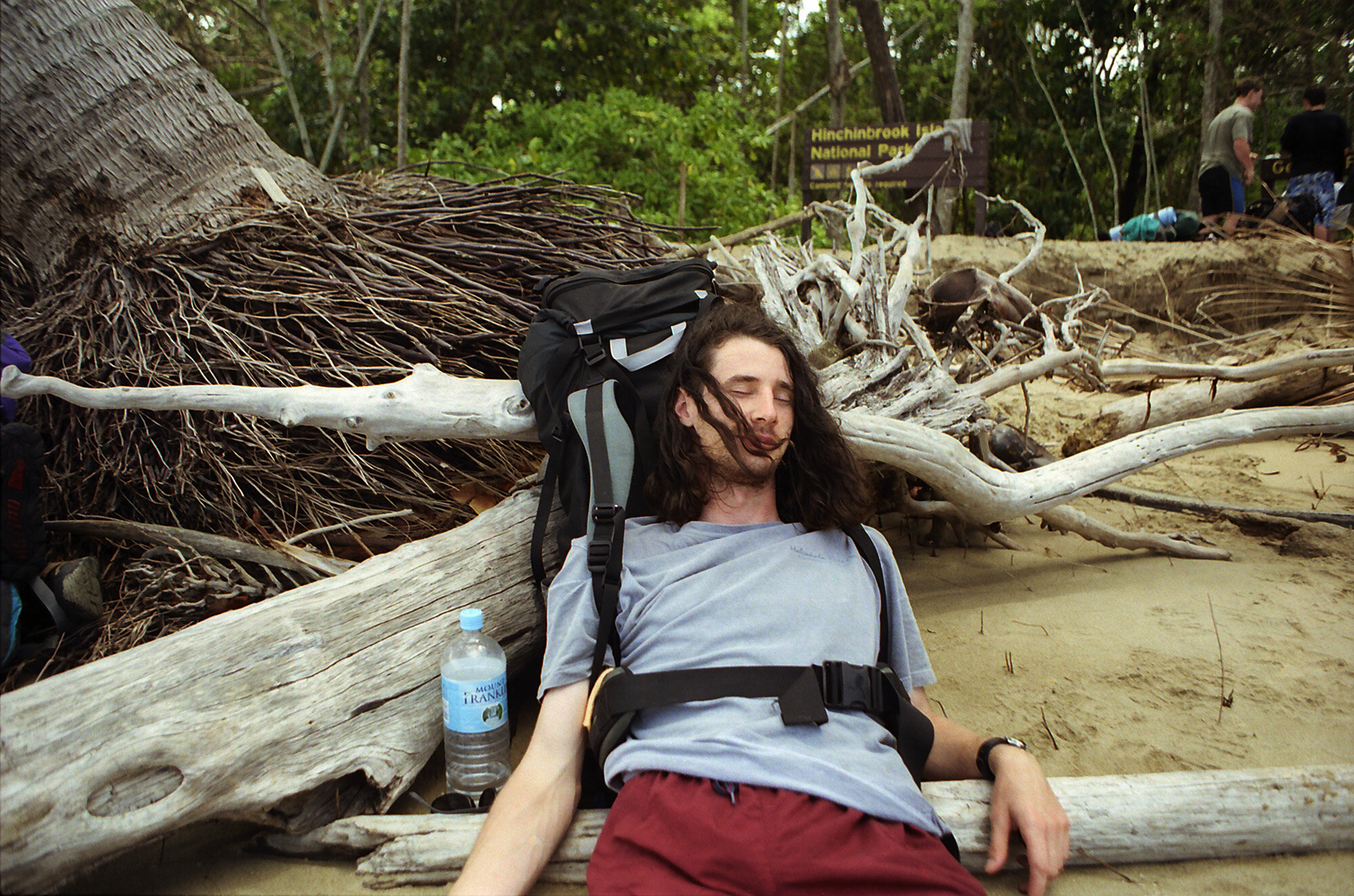
At the end of the Thorsborne Trail waiting for the ferry to pick us up. Exhausted but happy.
Park visit: September 19-23, 2000
If you haven’t already, check out my post about my scuba diving trip in Great Barrier Reef Maritime Park just a few days before this, which has a little general setup of my trip to Australia. Just like that post, this one will also include the transcription from my hand written journal that I kept for this trip.
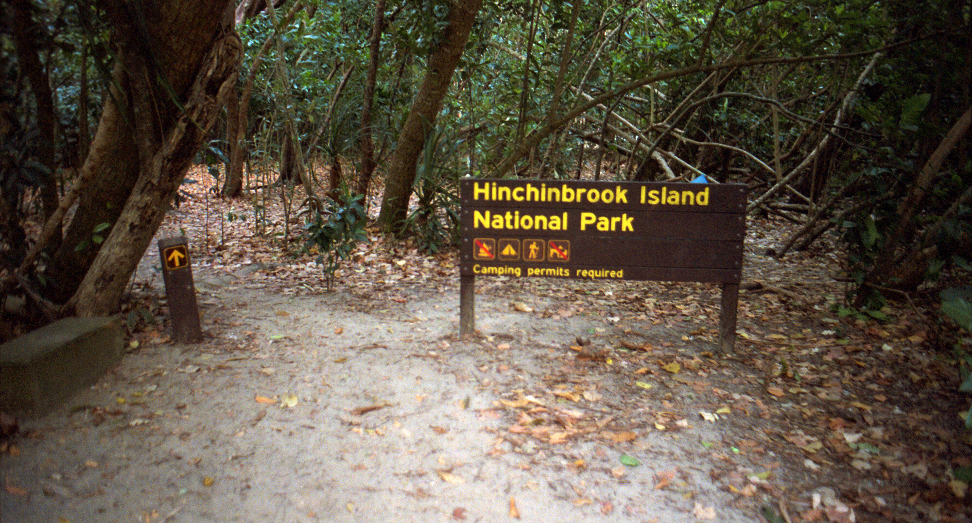
Once I decided I was diving the Great Barrier Reef (GBR), I bought a Lonely Planet book on islands of the GBR. One island kept catching my eye: Hinchinbrook Island National Park. It had a long hiking trail on it, the Thorsborne Trail, and was accessible by regular ferry service. I found my next Australian adventure!
I spent five days and four nights hiking the 30 km long trail. I met a bunch of cool people, saw some amazing scenery, and gained so much experience as an outdoors person. This was my first major backcountry hiking experience. I bought my first hiking backpack and first pair of serious hiking boots just for this trip. I also learned that dehydrated meals don’t really soften up just letting them soak in cold water. You actually do need a stove. Had I tested this hypothesis I would have known this. Lesson learned. However, cold apple and cinnamon oatmeal actually isn’t bad.
One thing I did not get to do, however, was visit the wreckage of a WWII plane. On December 18, 1942, a B-24 Liberator crashed into Mount Straloch, at the island’s south end, during a storm. It’s hard to get to, but I had found a guided hike to it. They changed the day of the hike at the last minute and I simply wasn’t able to fit it in my schedule. After missing out on the Yongala dive, I’m convinced someone didn’t want me seeing wrecks on this trip.
It is an adventure that I will never forget. I wouldn’t mind going back there sometime. The waterfalls alone are worth the trip.
Here is a map of the island with all the major places I’ll be talking about, so you can follow along:

Tuesday, Sept. 19, 2000
Up with the sun today, about 6:00 a.m. Took the last hot shower I’ll have until Saturday. I got lucky in that there’s a free pancake breakfast on Tuesdays at 7:30. So I have that going for me anyway. I think I came up with a solution to my bomber wreck problem, so after breakfast I’ll call the south end ferry to run it by them. This is the first time in days that I’ve caught up on my writing, so I guess I’ll put the book down and get me some flapjacks.
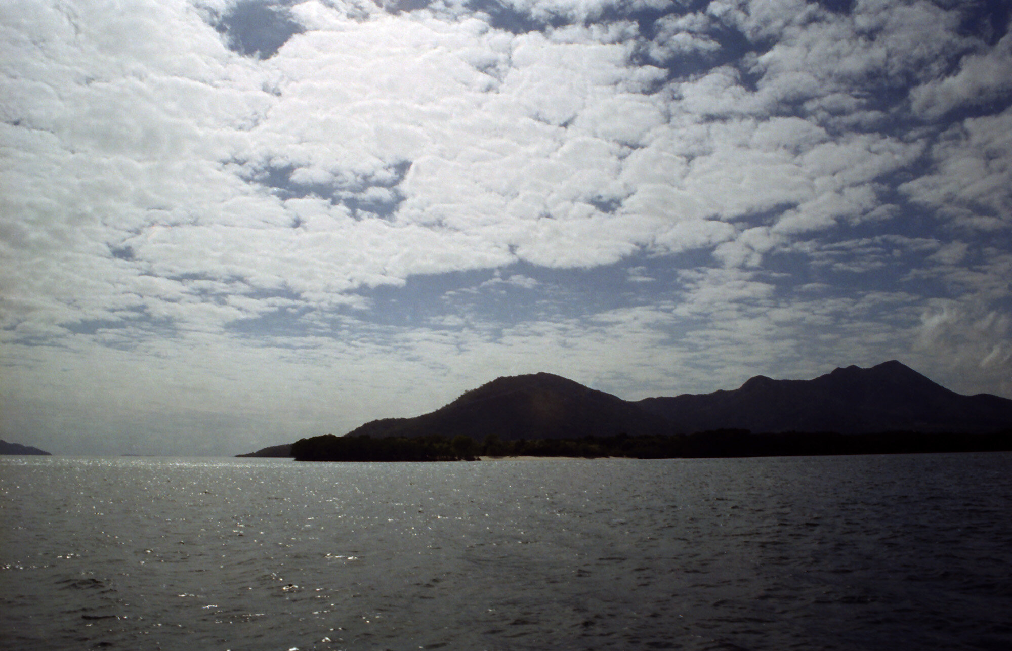
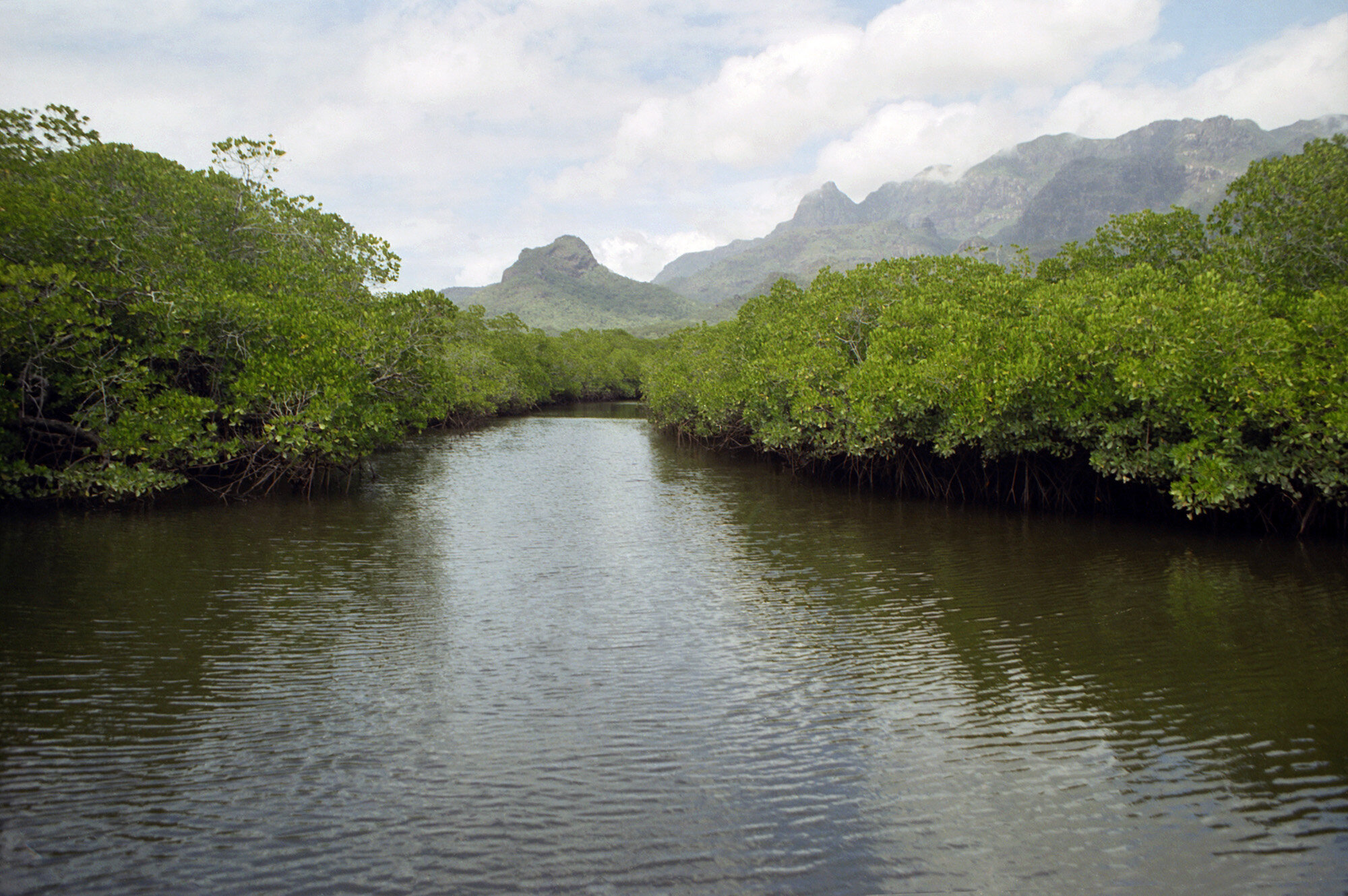
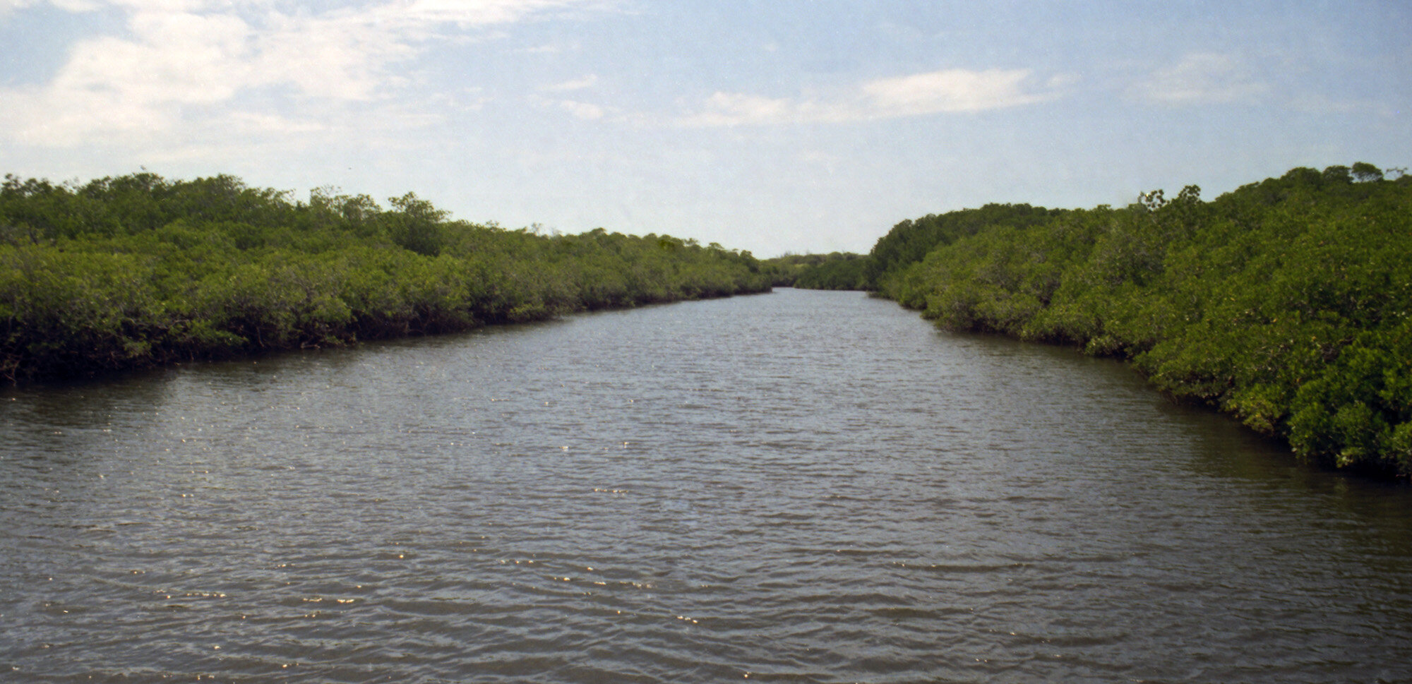
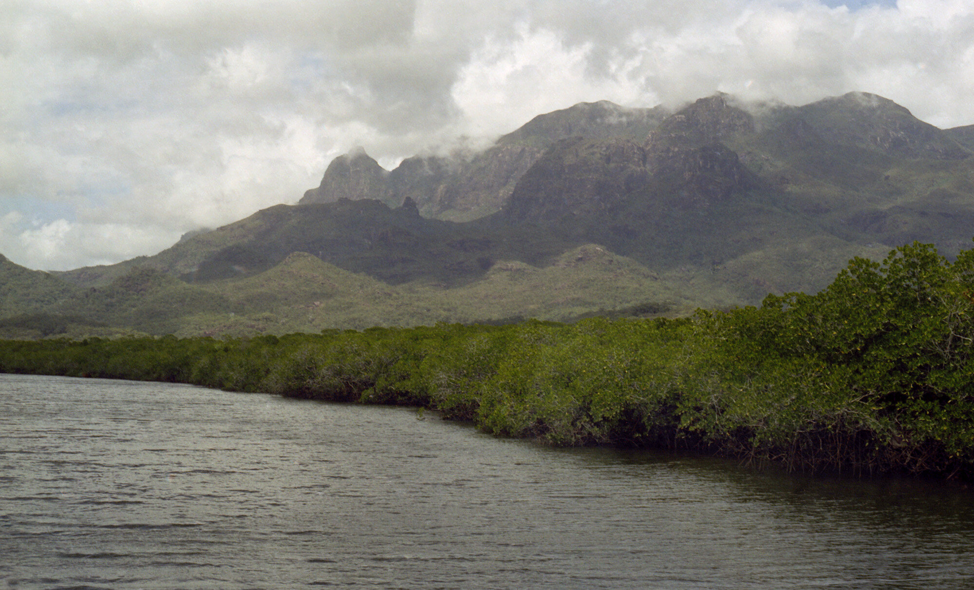
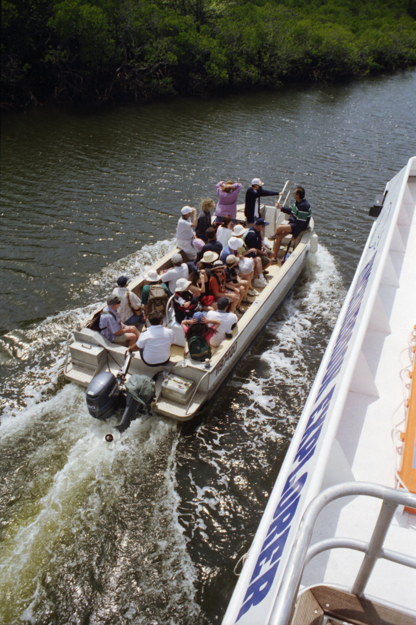
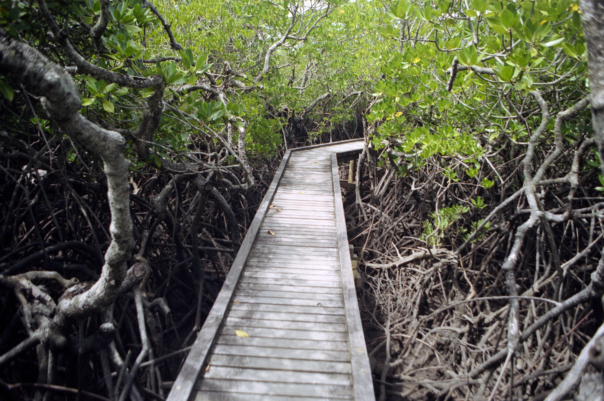
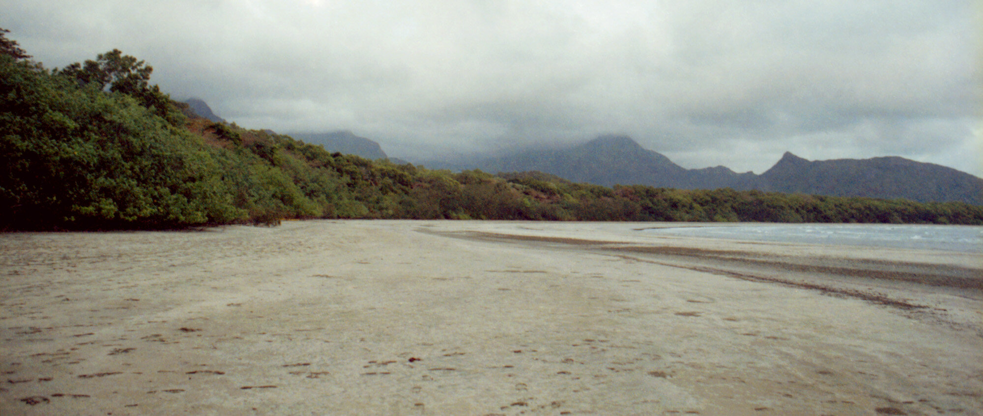
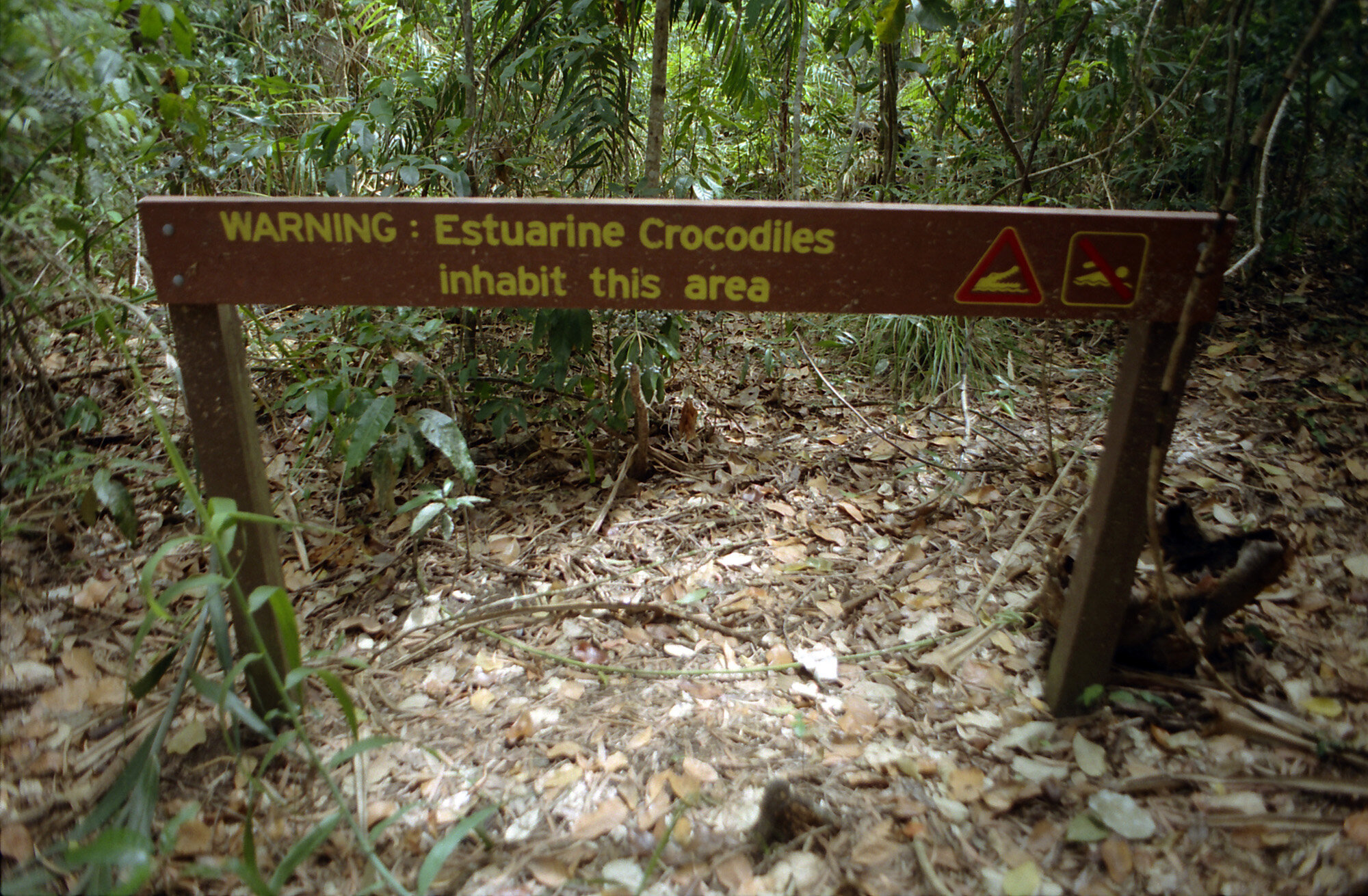
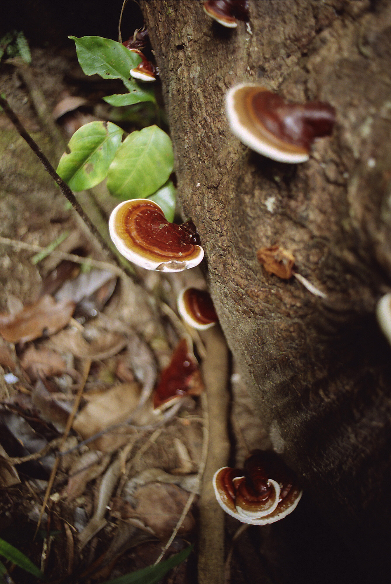
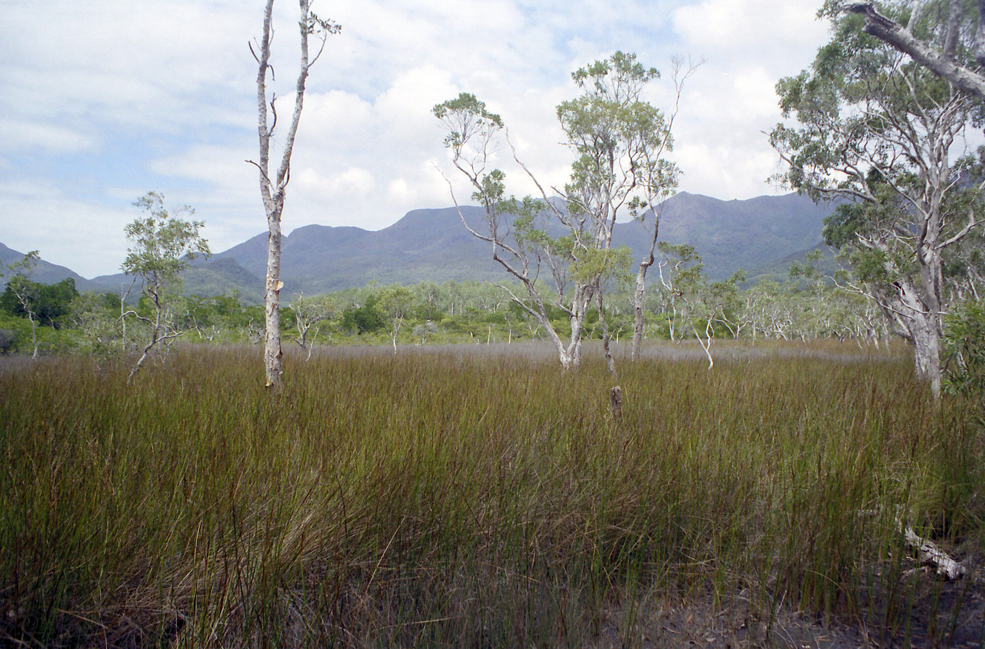
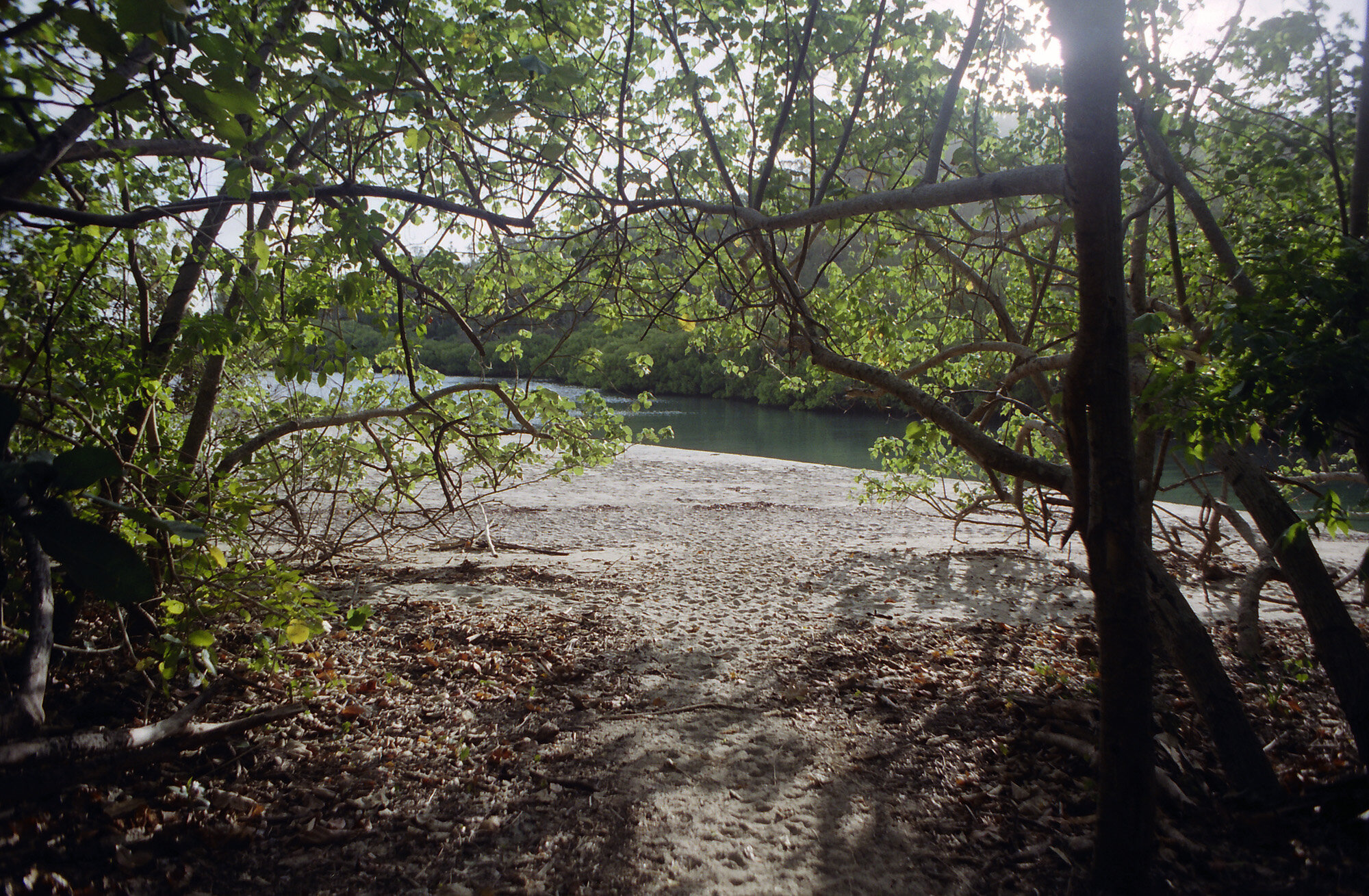
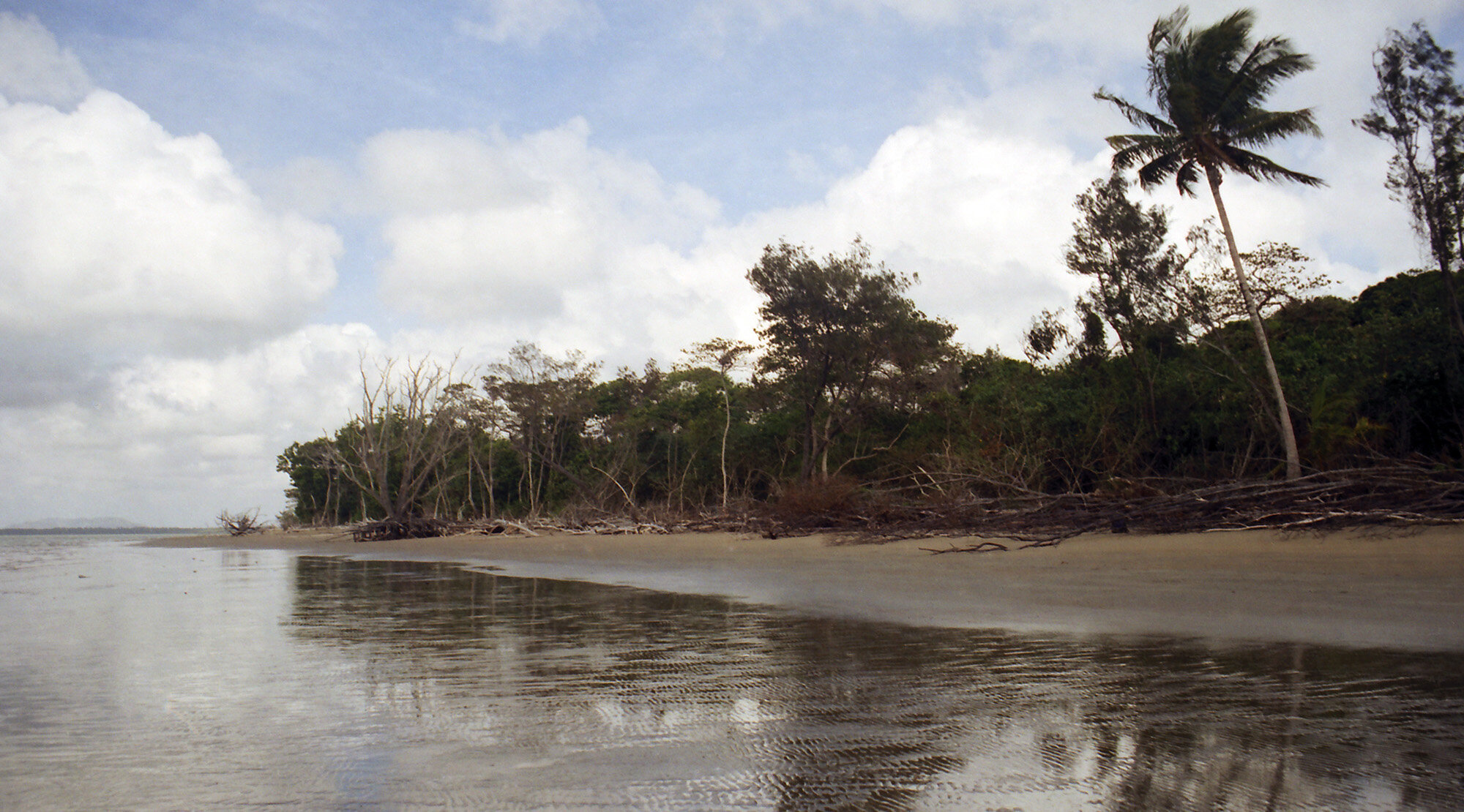
I called the south end ferry again and it looks like I definitely won’t be going to the wreck. Not much I can do about it I guess except enjoy the trail. The pickup came at about 8:30. After picking up some other passengers we headed for the docks. The guide on the ferry was a man named Bill. He told us all about the island’s history and wildlife. He told us to keep an eye out for turtles, dugongs, and salt water crocs. Didn’t see any. Our first stop was Hinchinbrook Resort. The only sign of civilization on the entire island, it’s nestled on a hillside amongst the trees. After a quick stop at a little camp area, we proceeded through Missionary Bay to the mangrove swamps. Going through the estuaries reminded me of a scene from the African Queen. We docked at a boardwalk which took us over a small bit of land to the eastern side of the island. There was one other person doing the trail; an English guy named Luke Fletcher. He lives not too far away from Uncle Chris. After a briefing from Bill, we were on our way.

Getting ready to hit the Thorsborne Trail at the Ramsay Bay trail head.
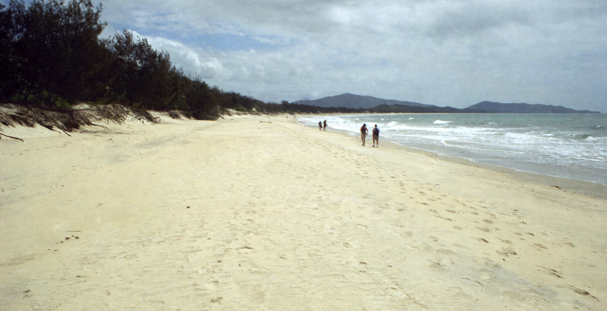
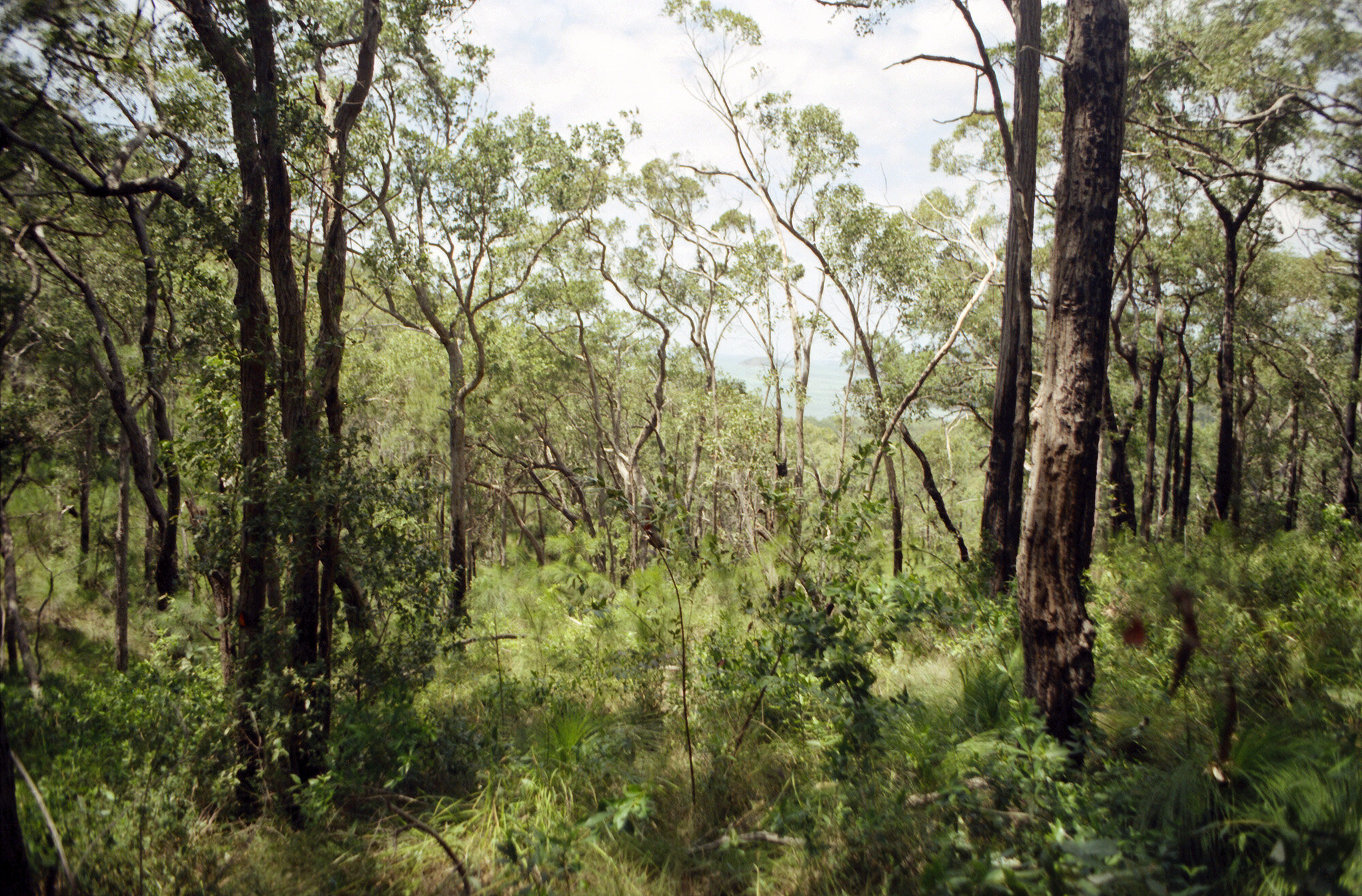
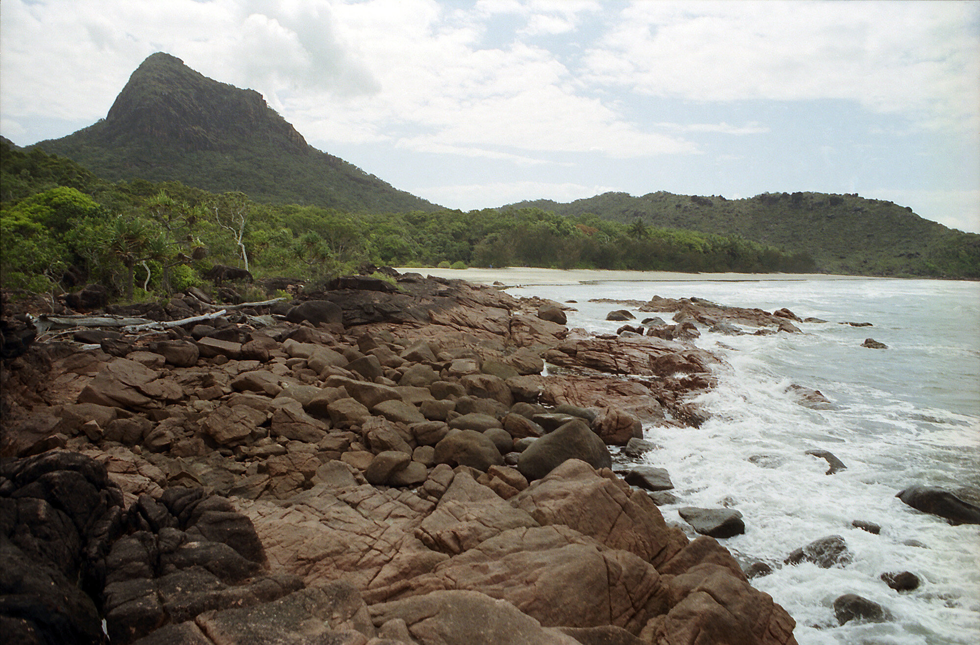
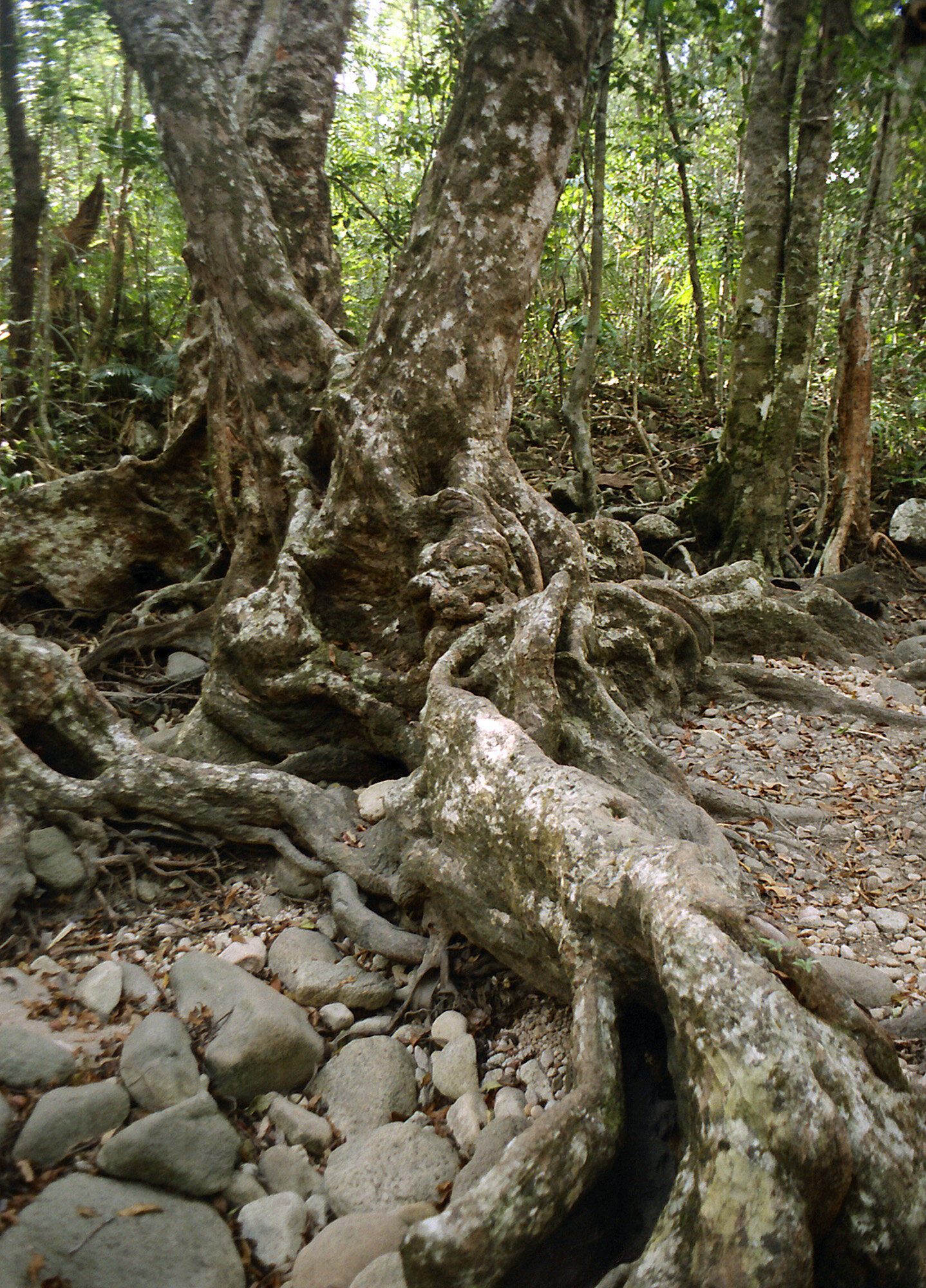
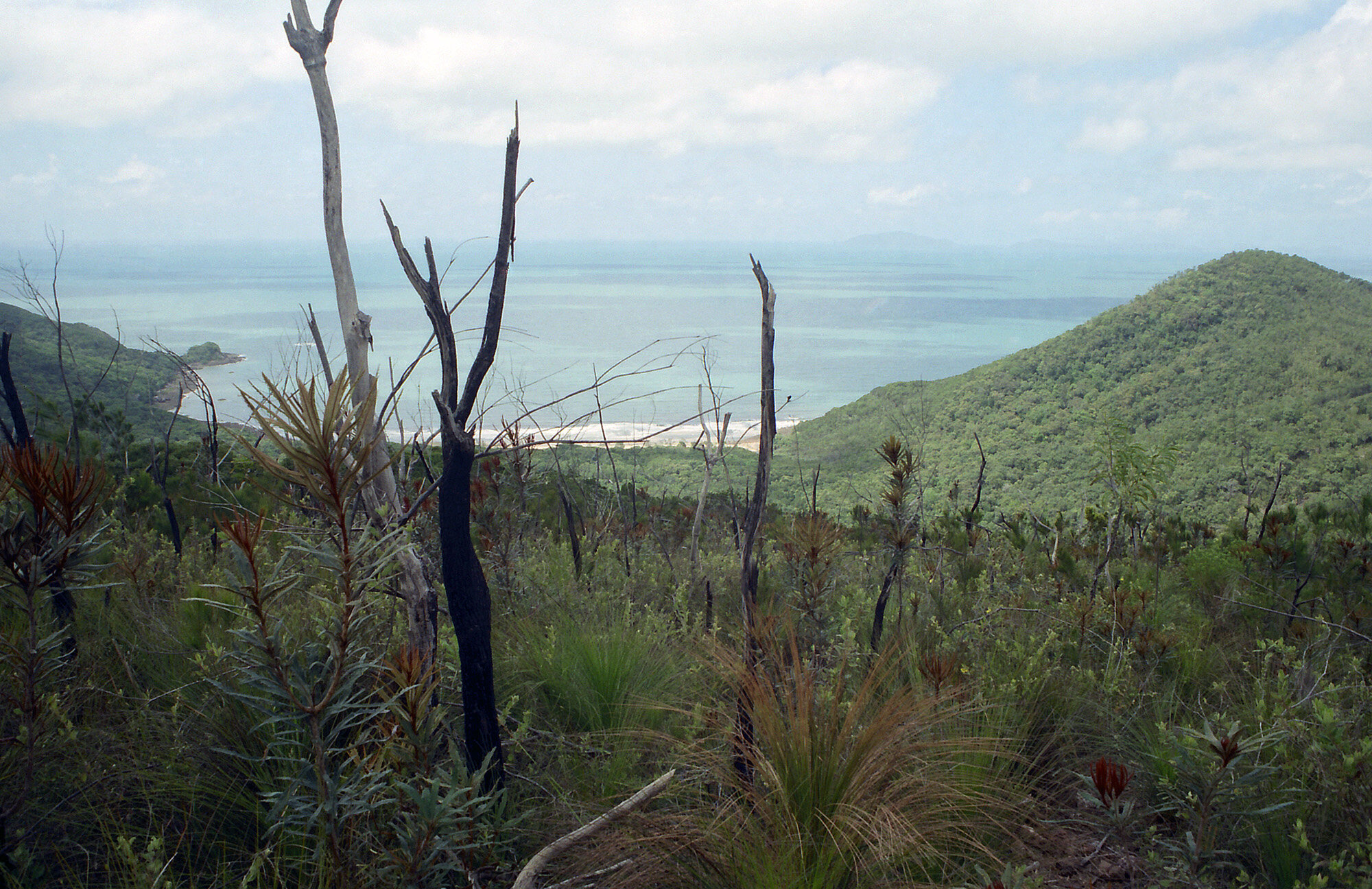
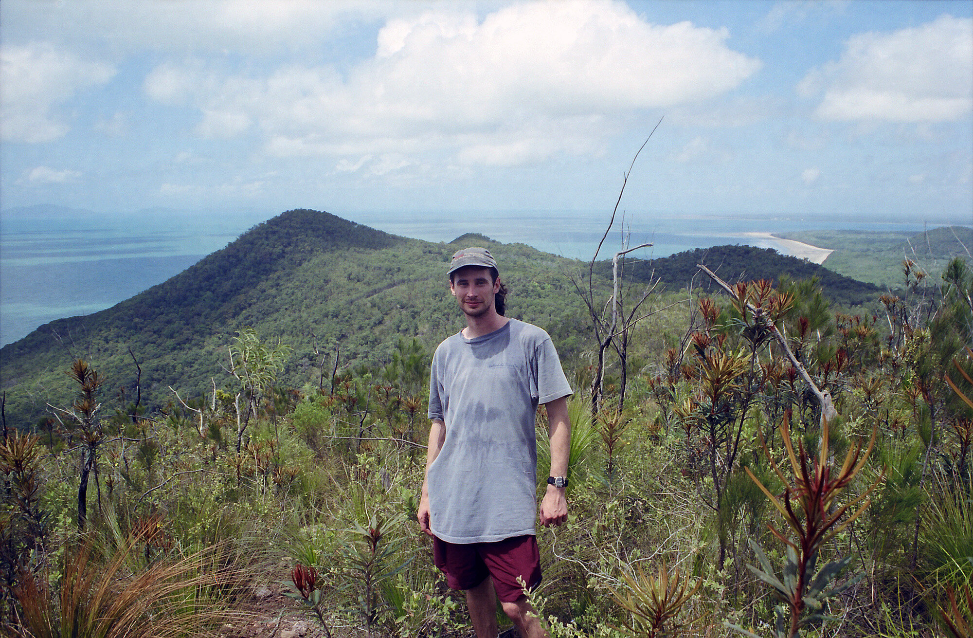
The trail started at the end of the beach. After 10 yds., I knew this was going to be a tiring week. Not too long into it we came to the side trail leading to Nina Peak. The view from the top is absolutely breathtaking. One could see for miles in every direction. Positively beautiful.
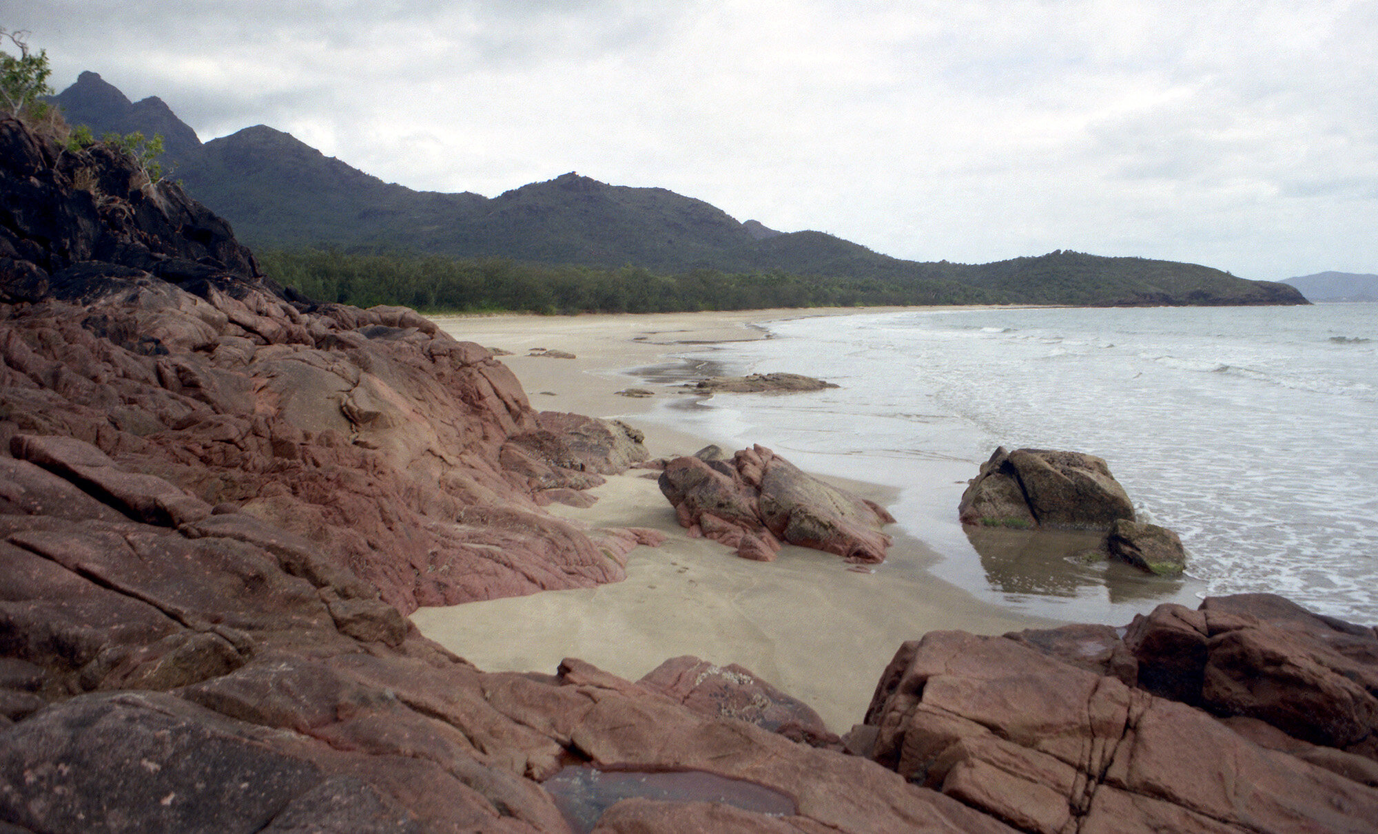
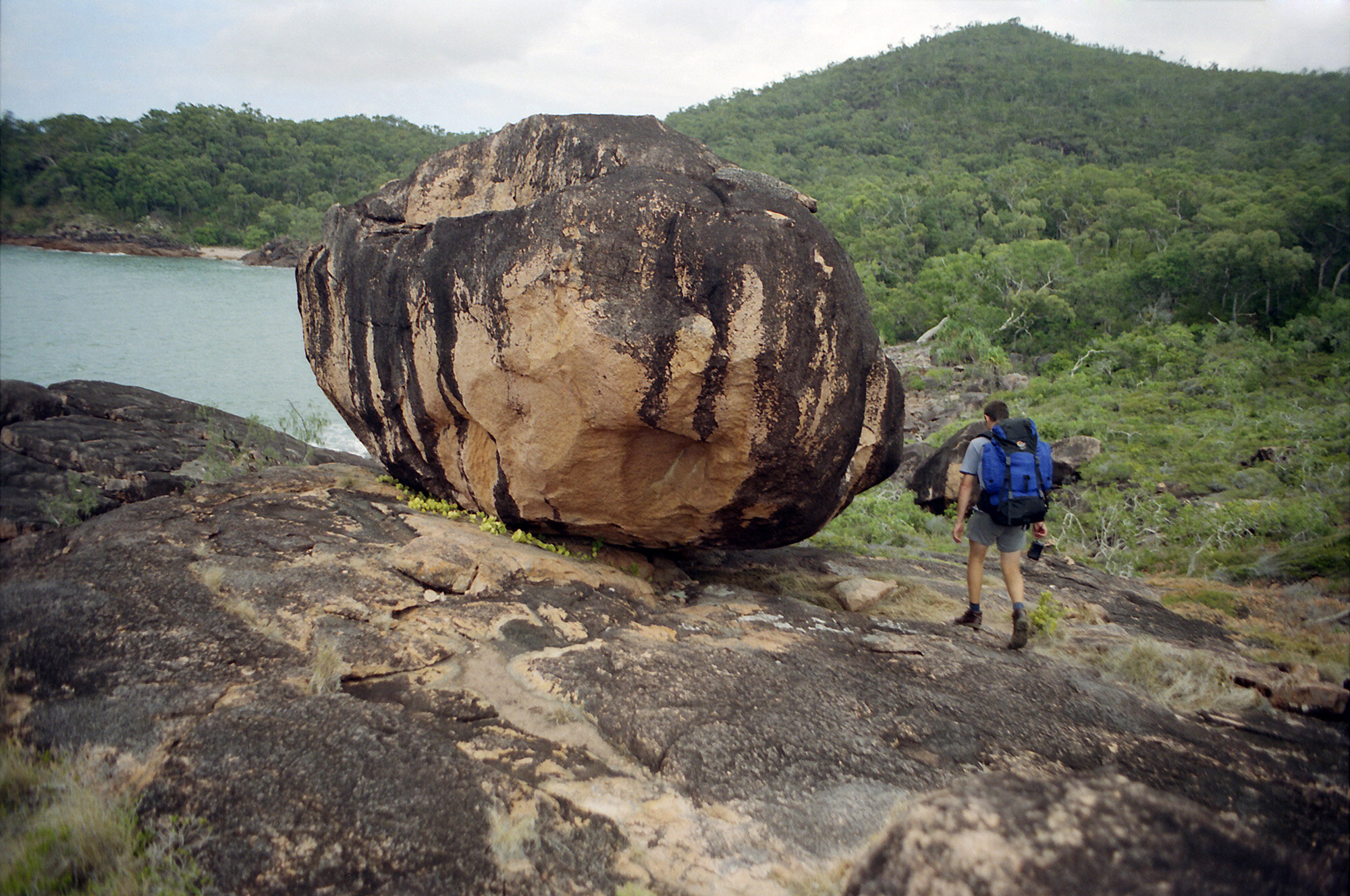
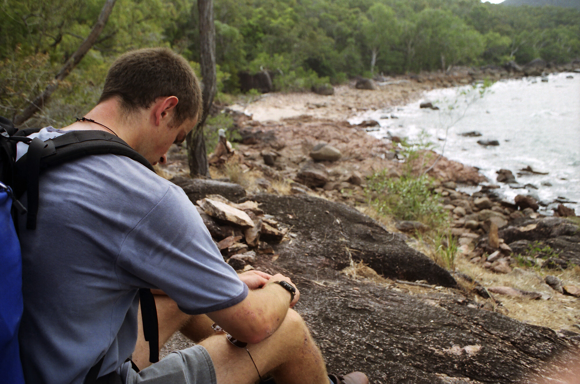
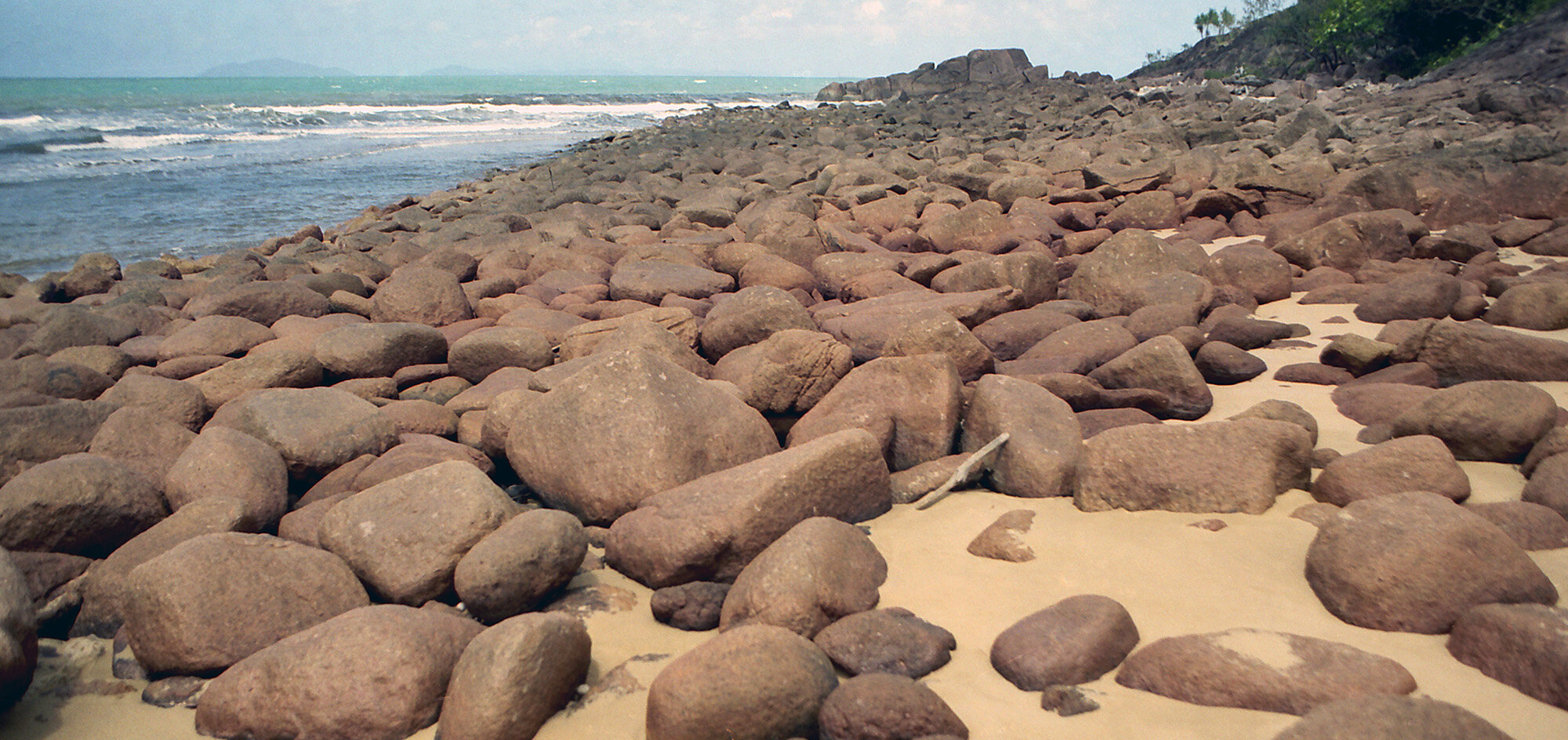
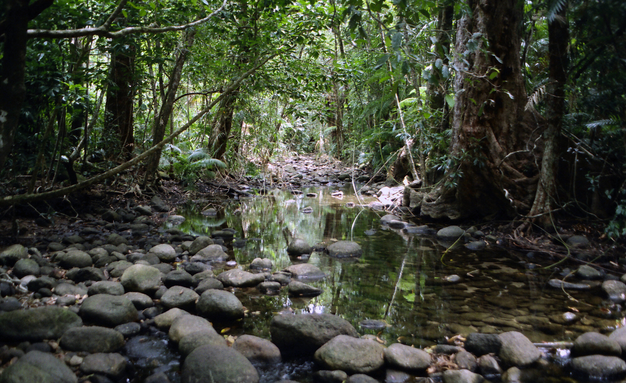
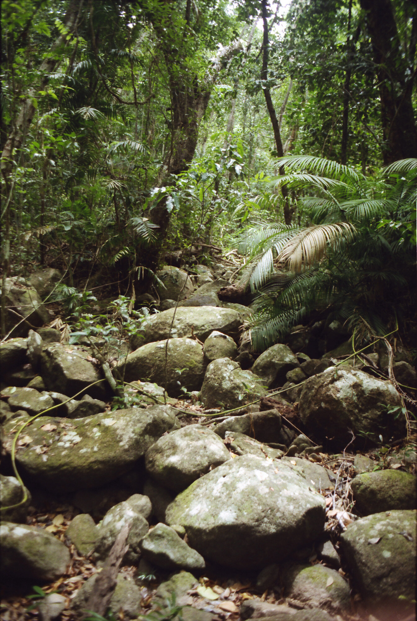
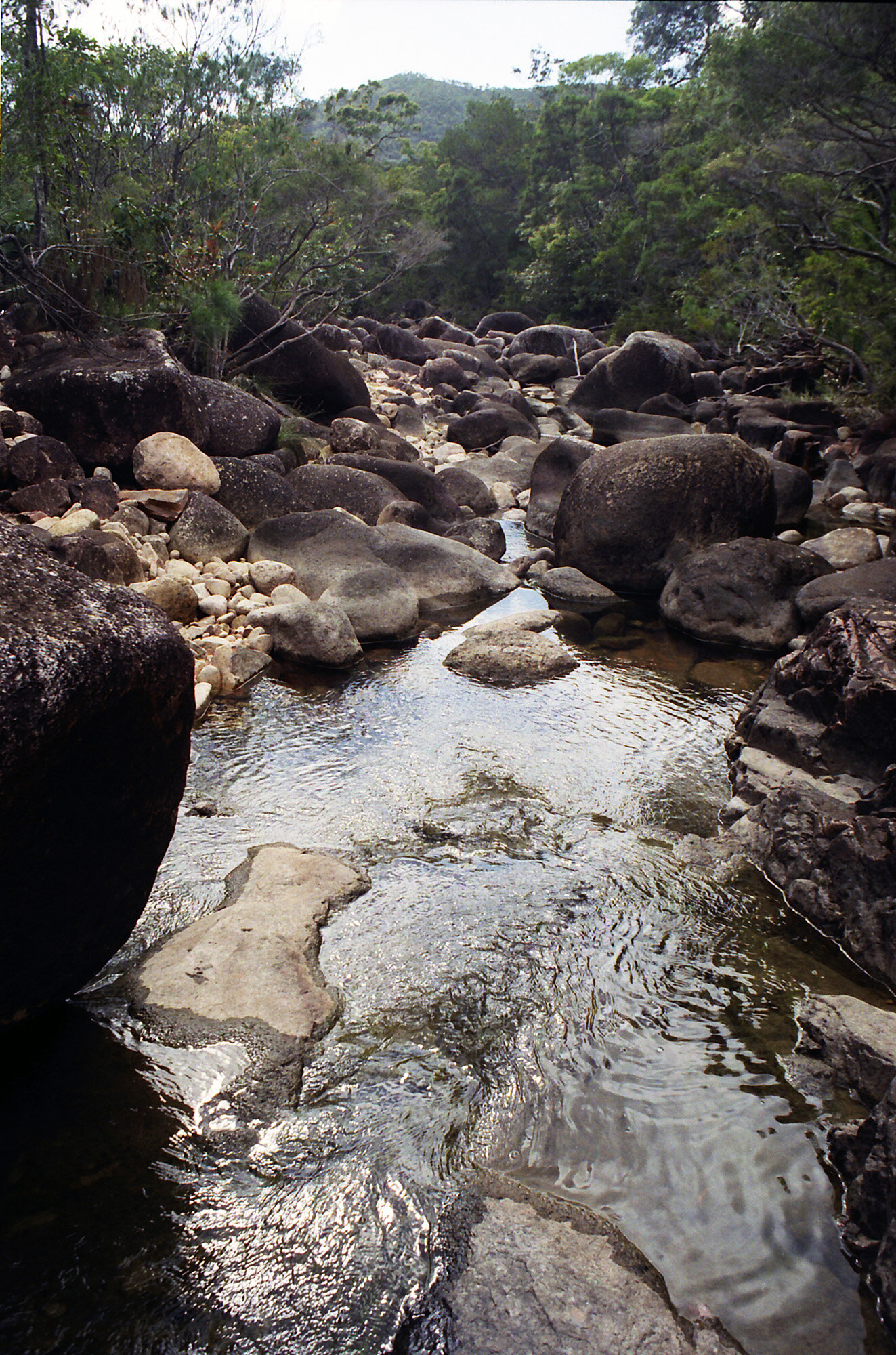
Back at the base we stopped for a quick lunch before continuing. When you’re actually on the trail, you don’t really see much, because you’re too worried about tripping or rolling an ankle. We eventually came to the first camp site [Nina Bay]. Two tents, but no people. After that campsite, we had to rock hop around the coast for a bit. Tiring but fun. It reminded me of Guernsey a little. The trail eventually went back into the woods.
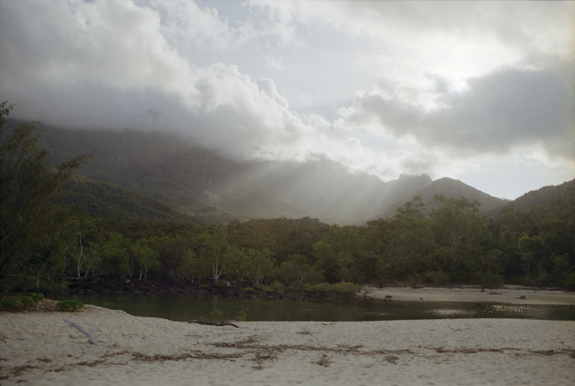
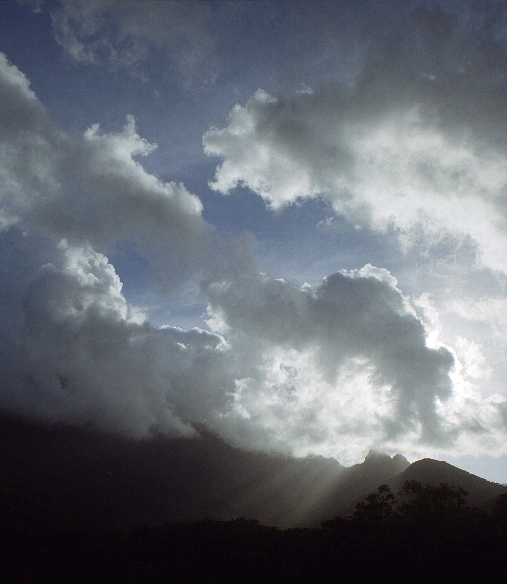
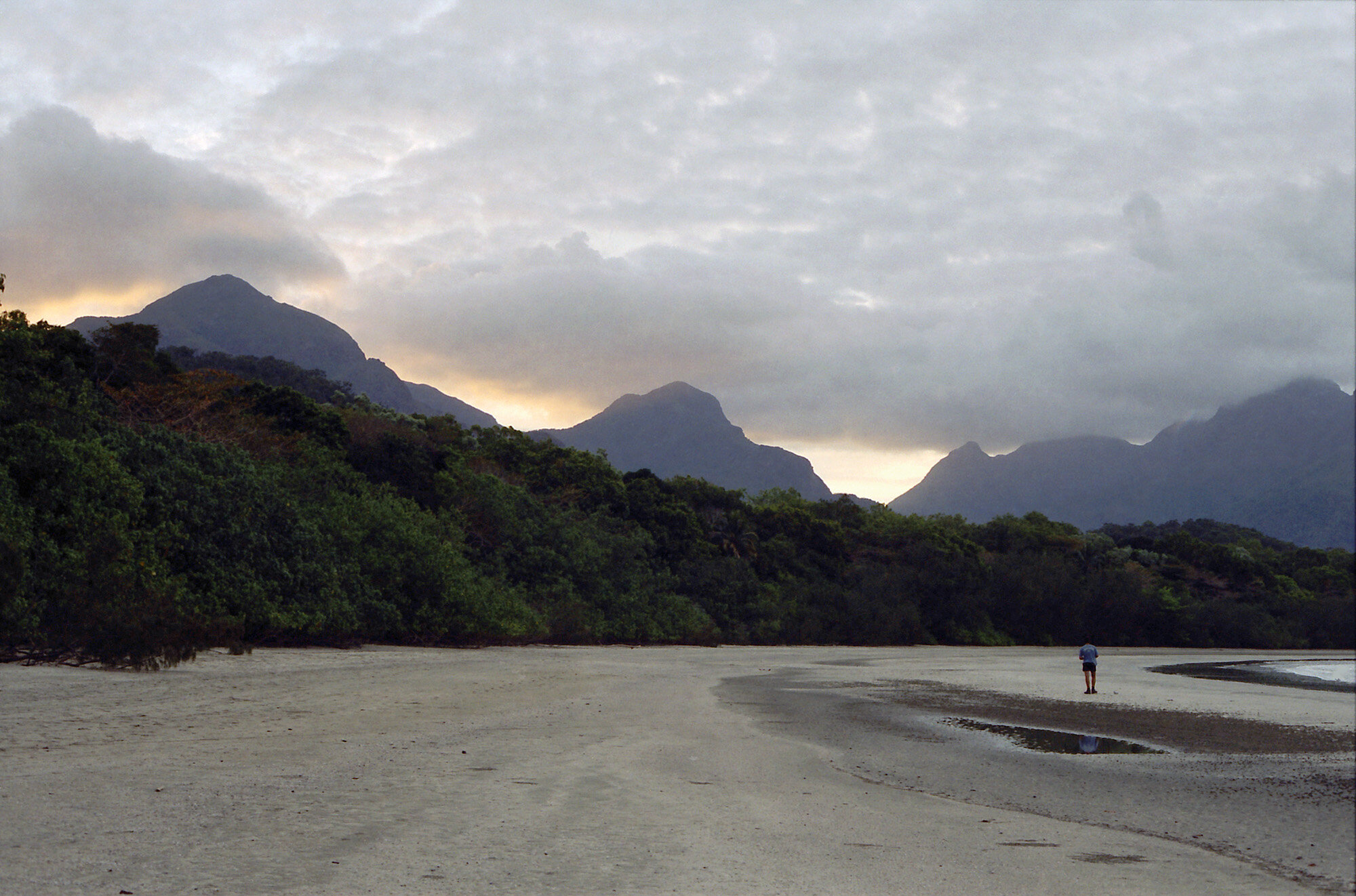
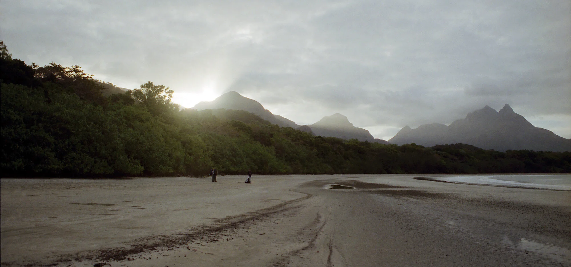
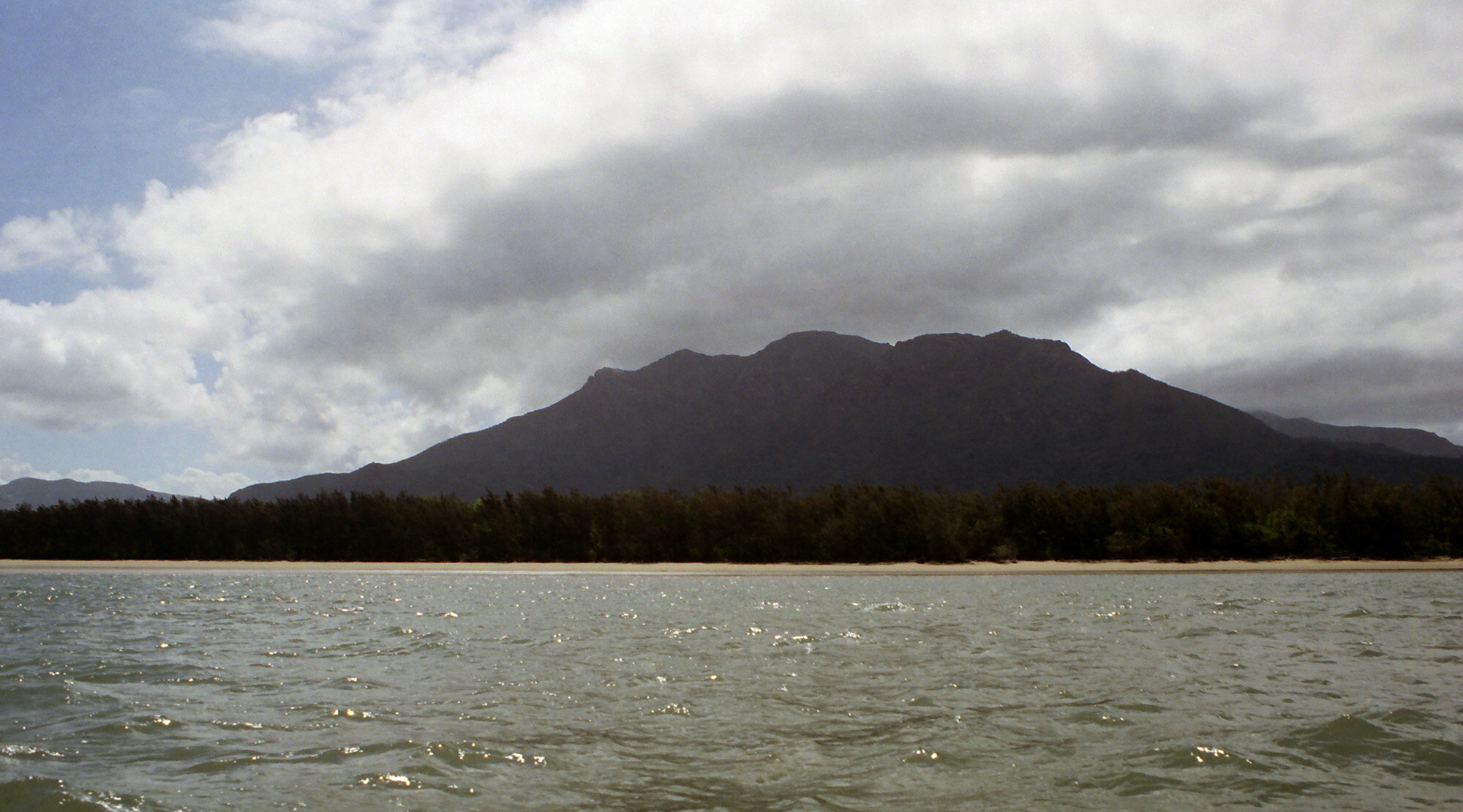
After a while we came onto the beach where the second campsite is located [Banksia Beach on Little Ramsay Bay]. This is where we’ll stay the night. We put up camp, got some fresh water from the stream (more rock hopping), then did nothing. Luke went to do some fishing. At this moment I’m sitting on the beach. It’s about a mile long and I’m the only person on it. Behind me is Mount Bowen, whose peak is covered in clouds. The sun is setting on the other side of the island. Ya know those corona commercials? I’m living it.
TUESDAY PHOTO GALLERY:
Wednesday, Sept 20, 2000

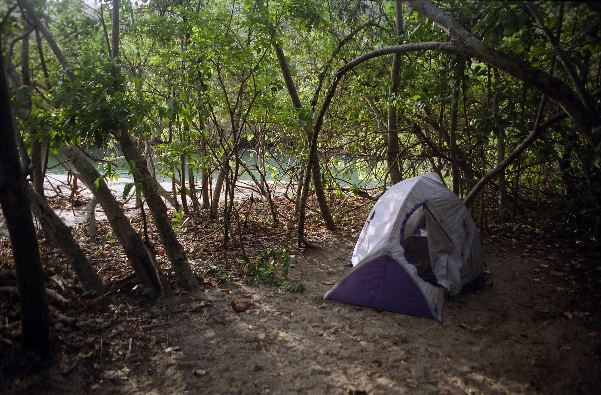
My campsite at Zoe Bay, with beach just a few feet away.
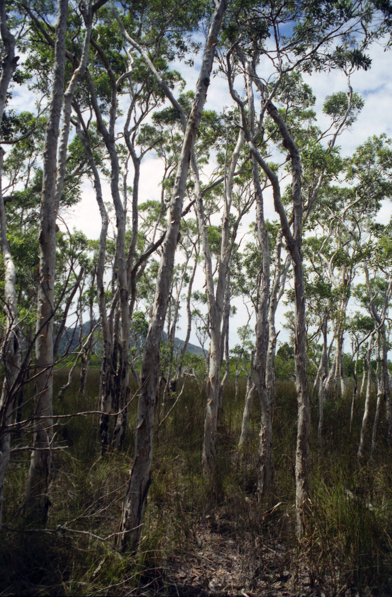
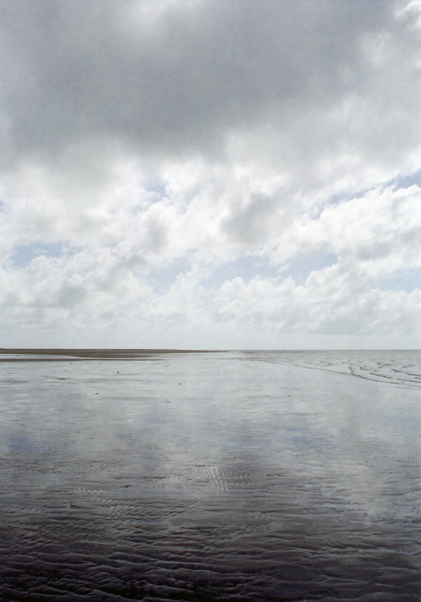
After dinner last night we packed it in when the sun went down. Going to bed at 6:30 at night? I must be on crack. On second thought, if I were on crack I wouldn’t be going to bed until 6:30 in the morning. The beach is only about 10 yds away, so you can always hear the surf. During the night you can also hear crickets, birds, and various small creatures scurrying about. I tossed and turned quite a bit. It also rained. I was up at 6:00 a.m. Went down to the beach and it looks like there might be more rain on the horizon. Today will be the longest leg of the trip, from Little Ramsay Bay to Zoe Bay, 10.5 km (6.3 mi). I have to clean up and make breakfast (cold oatmeal, WOOHOO!)

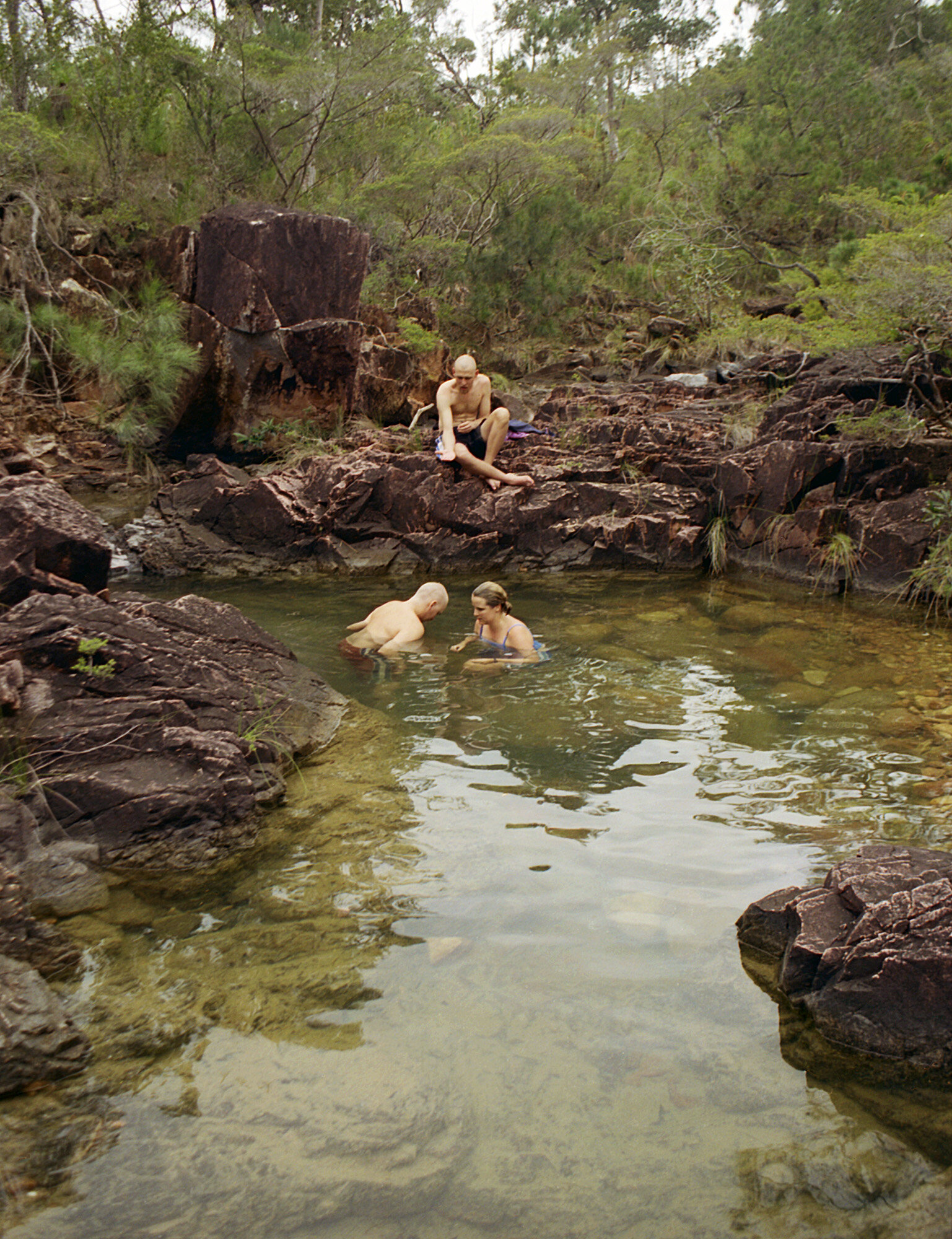
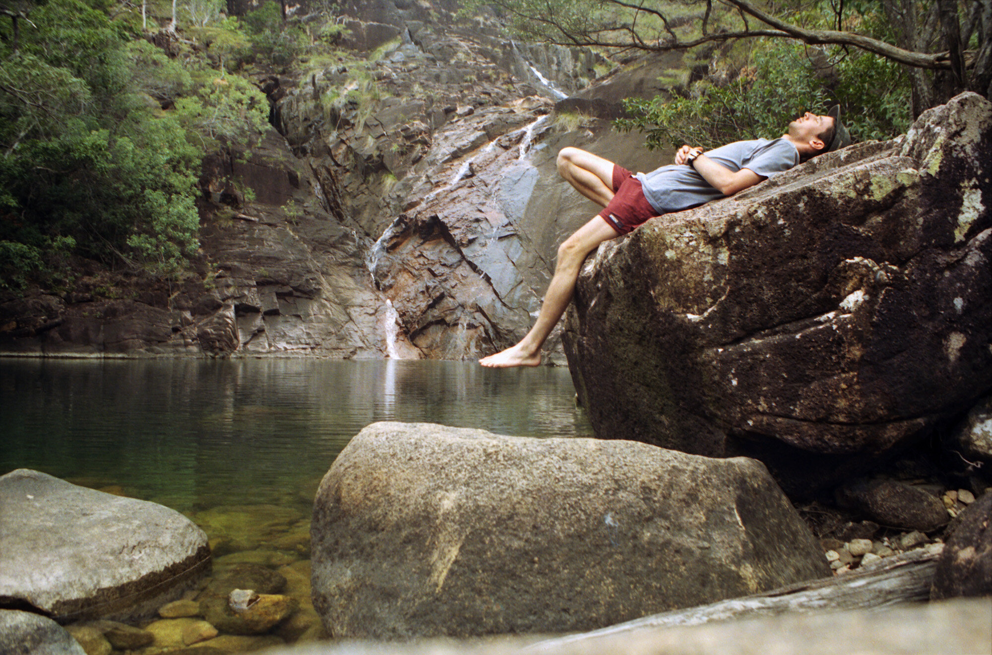
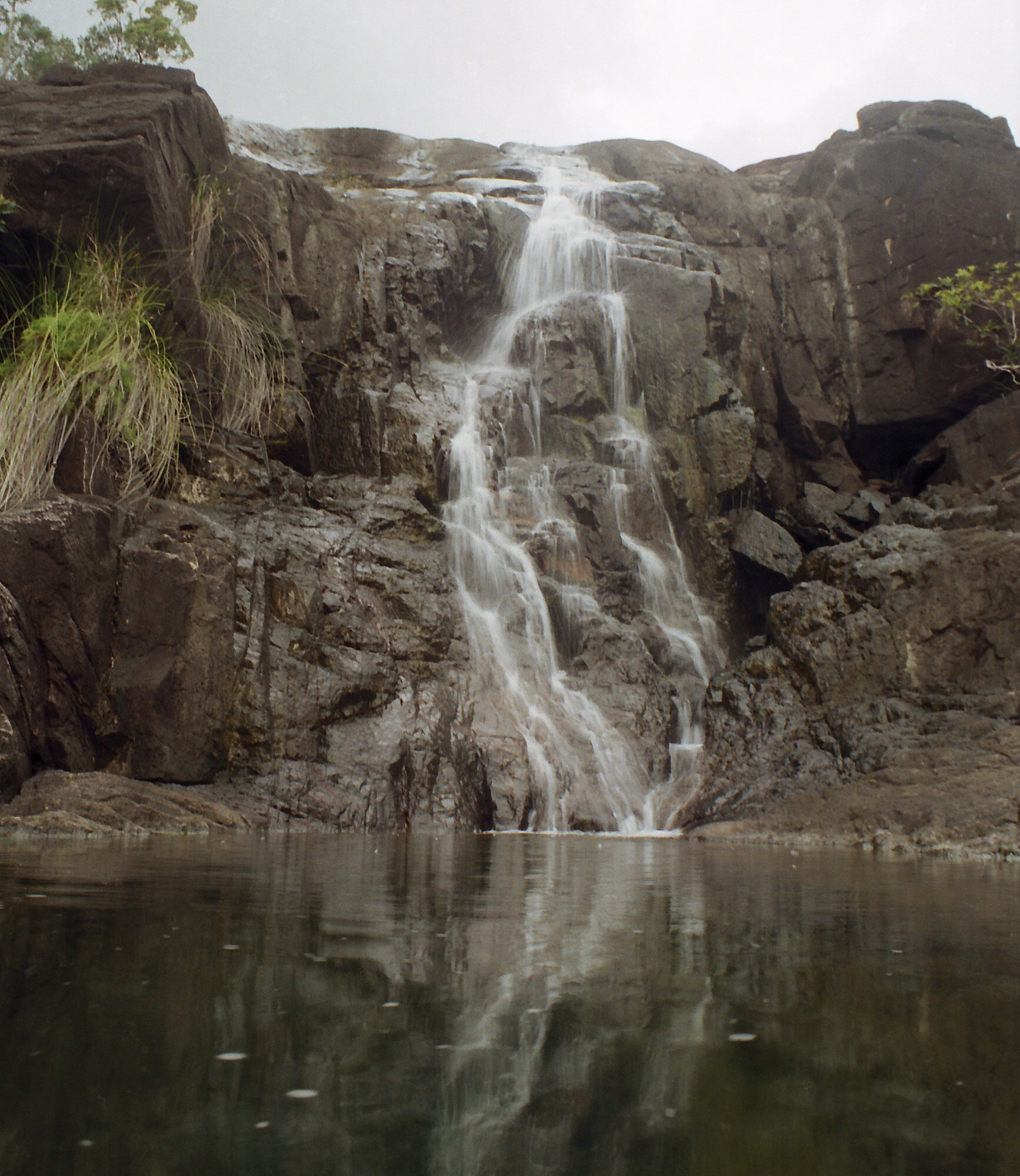
Taking a dip at Zoe Falls.
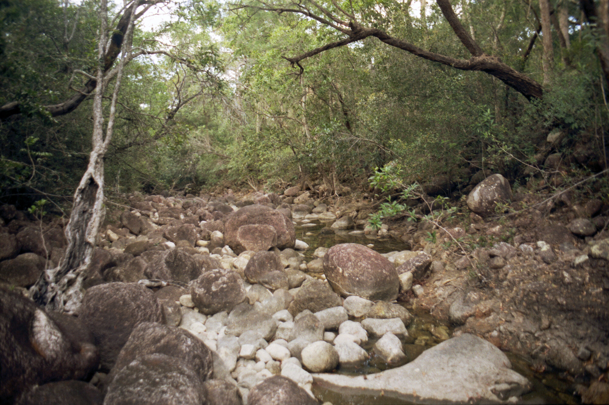
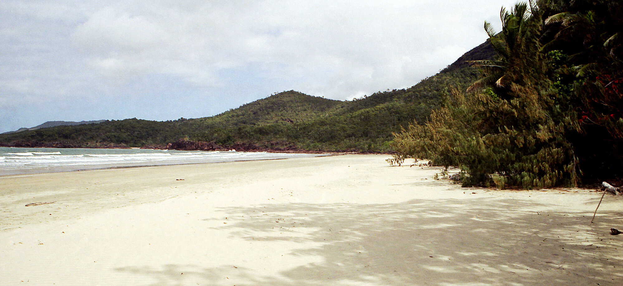
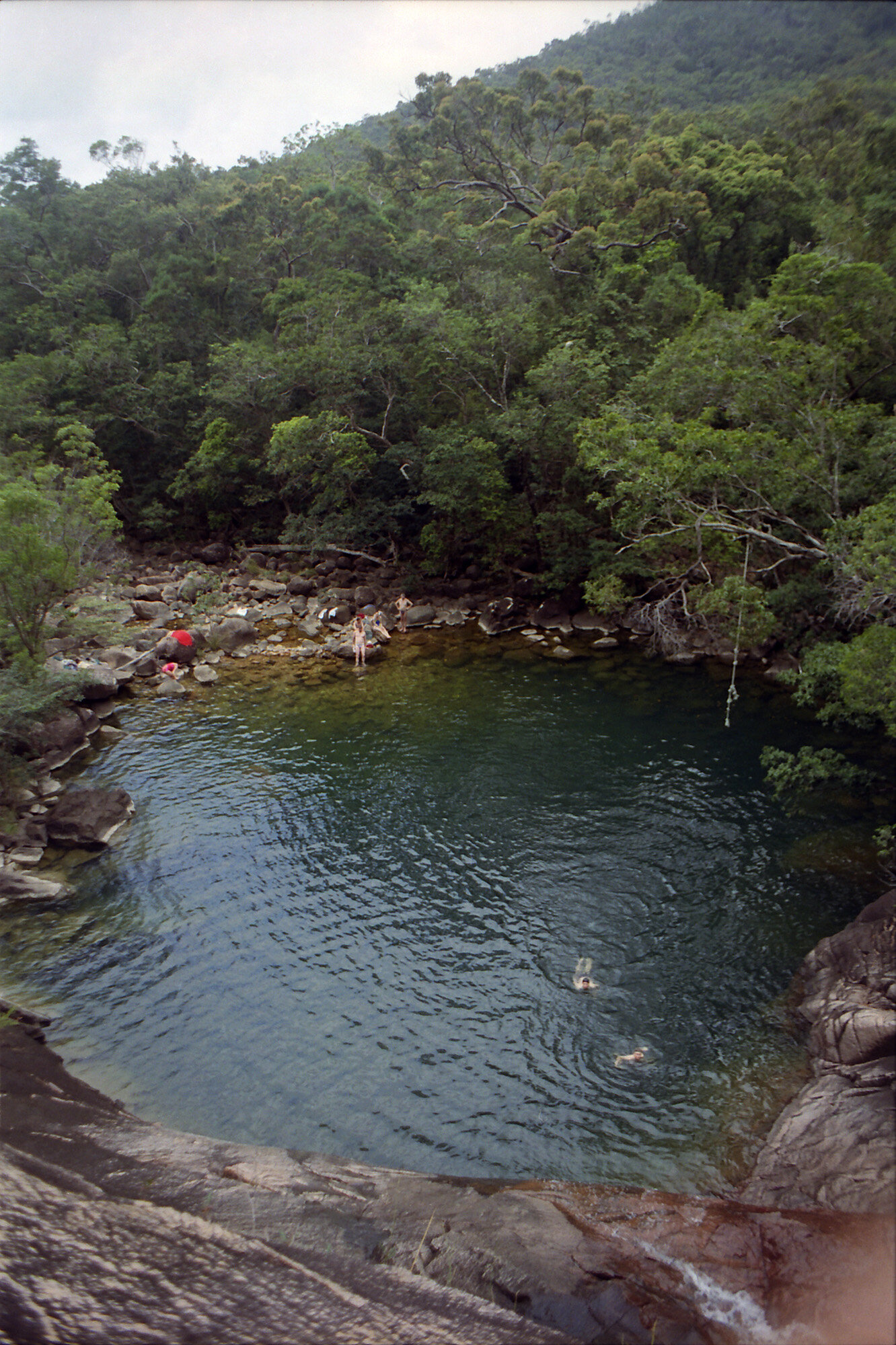
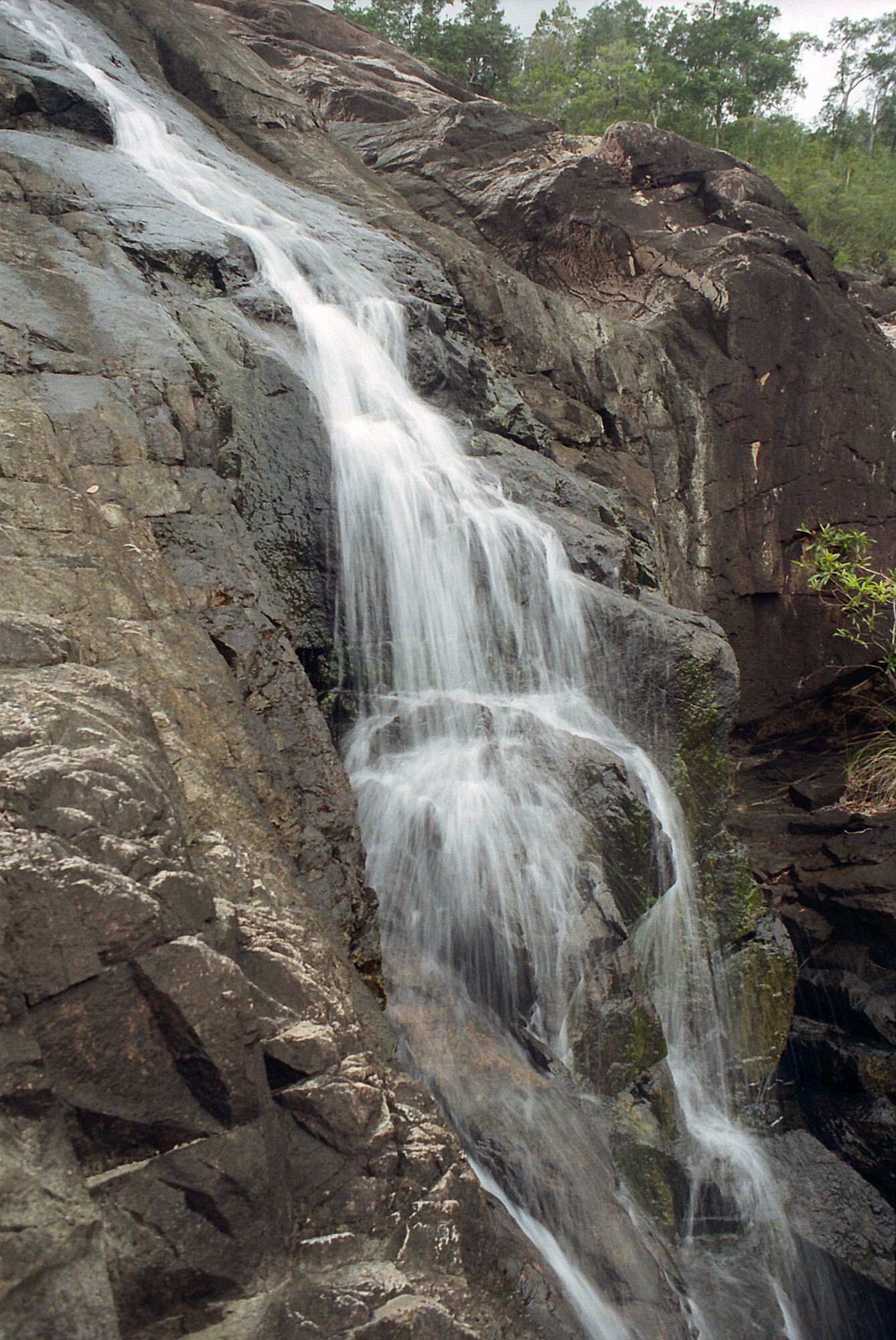
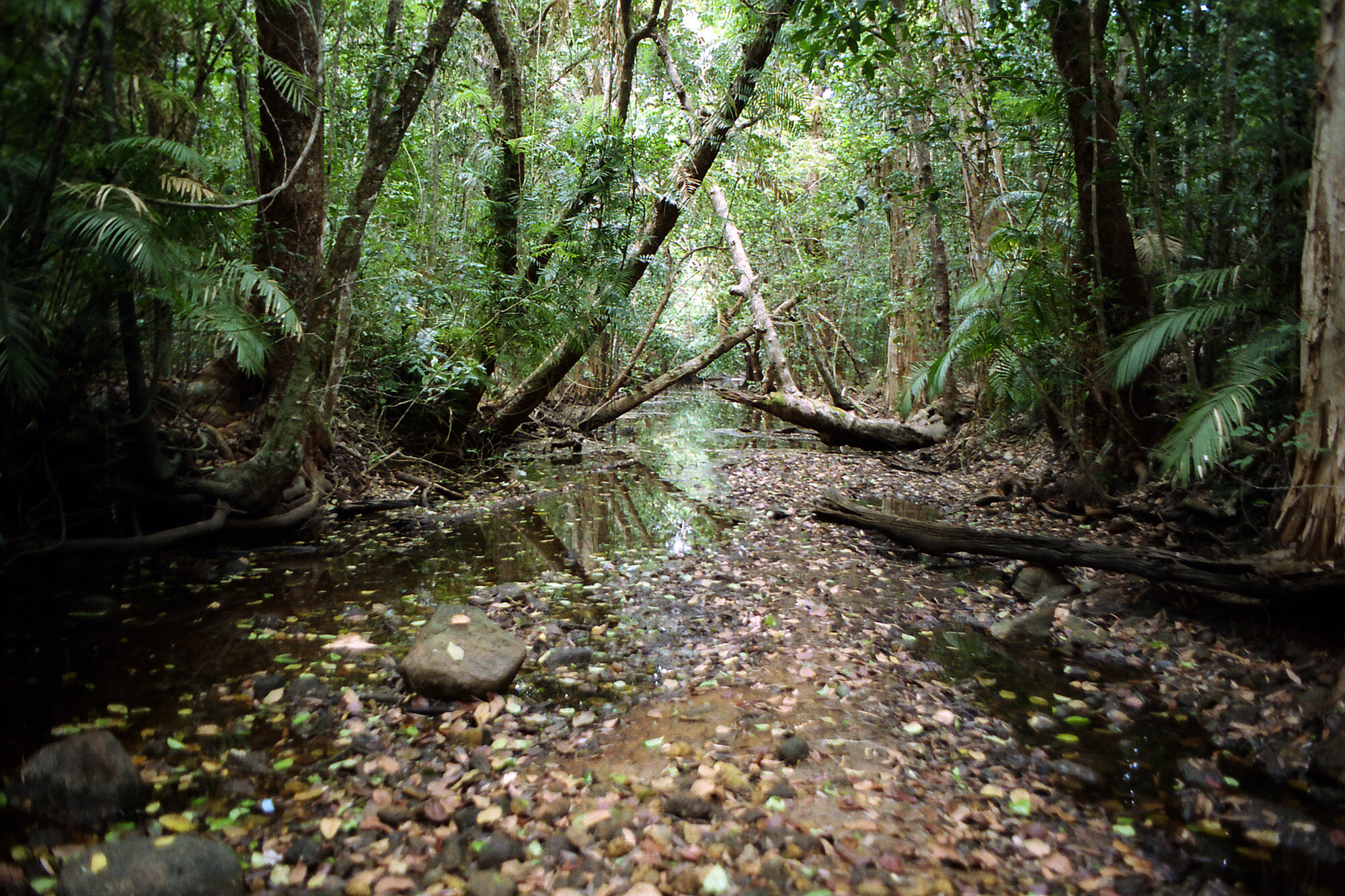
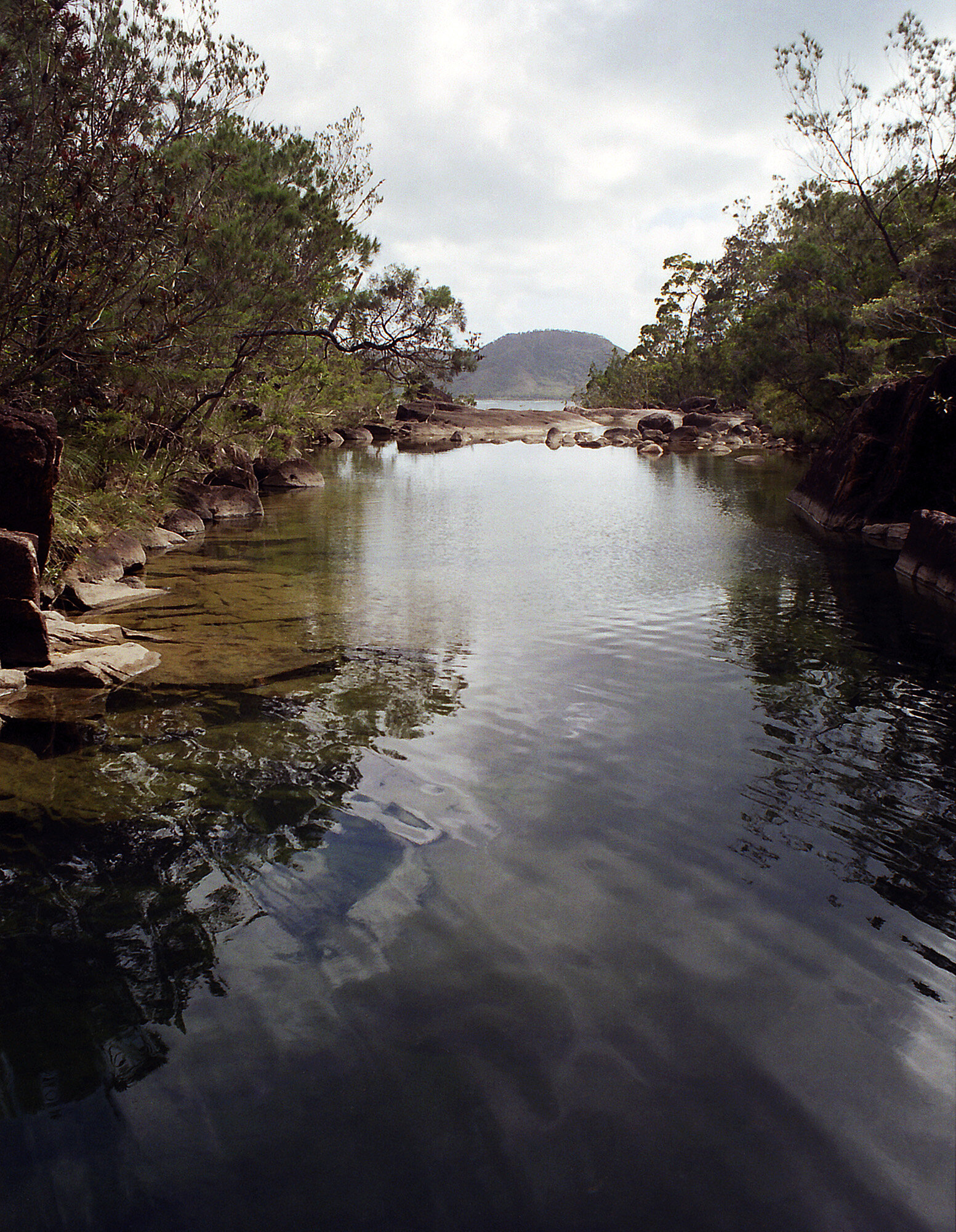
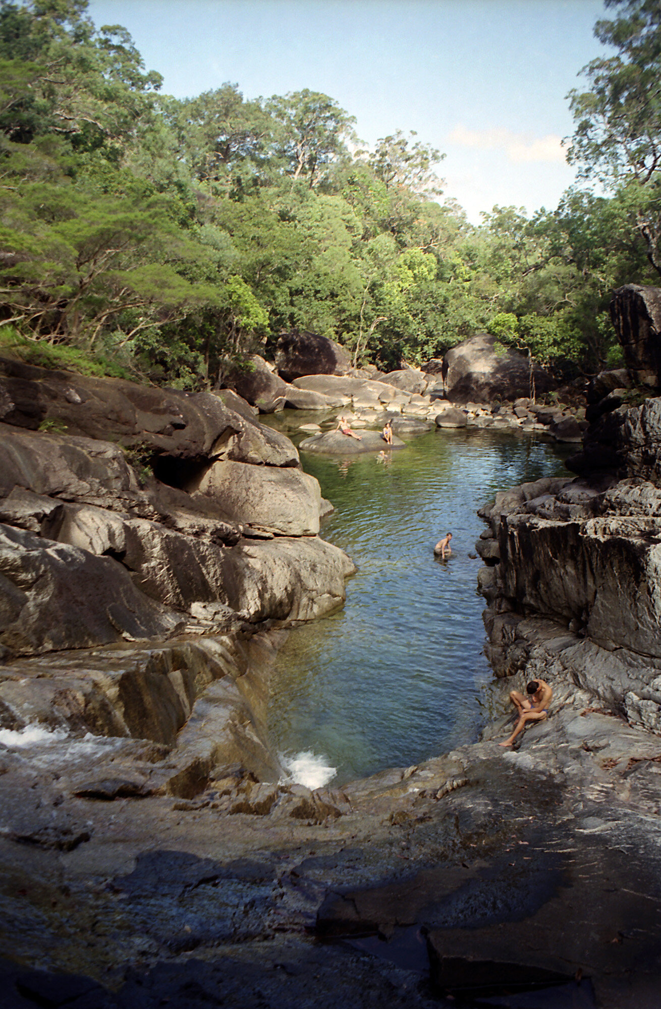
Well, we finally made it to Zoe Bay. It took us just over five hours. The first third was hilly, two saddles to go over. The rest of the way was relatively flat. It seemed like it took forever. We passed two groups of people on the way down. In the hills was a group of four who had stopped for a swim in one of the creek pools. The second was a family we passed on the flats. The flats seemed to go on forever. What was more irritating was that we could hear the surf, which made it sound like there wasn’t far to go. We crossed several nice little creeks. We stopped for a rest at Pine Cypress Creek. Not long after that the trail broke out onto the beach here at Zoe Bay. A sight for sore eyes (and legs). The campsite was at the south end of the beach. We were both anxious to see the famous Zoe Falls, but decided to put up camp first.
Then we started the short hike, backpack free, to the falls. It was rock hopping the rest of the way. The falls are spectacular. When I first laid eyes on them I thought “this is paradise”. The water zig zags down rocky cliffs into a large pool about 50-60 feet across and maybe 15-20 feet at its deepest. This one spot made the whole trip worthwhile. This is one of those spots that I will never be able to justly describe to someone. You really just have to see it for yourself. Luke was telling me about a guy he was talking to about Zoe Falls. He said “You’ll never be able to describe it to someone, but in thirty years when I’m feeling stressed out about something, all I have to do is think about this place and I’ll calm down in a second.” I believe him.
After a few minutes of gawking, we stripped down to our trunks and dove in. Well, I wouldn’t use the term “dove in” necessarily. Being spring fed from somewhere up in the mountains it’s a bit chilly. I more moseyed in than dove in. We swam across the pool to the falls. After swimming around a while we got out and dried off. It felt like I had just taken a shower. This was definitely a nice reward for the long hike we had just made. Even the flies seemed to have backed off for a while (haven’t written about them much, but believe me, they’re everywhere). We headed back to camp to make dinner (teriyaki turkey) and turn in for the night.
WEDNESDAY PHOTO GALLERY:

Thursday, Sept. 21, 2000
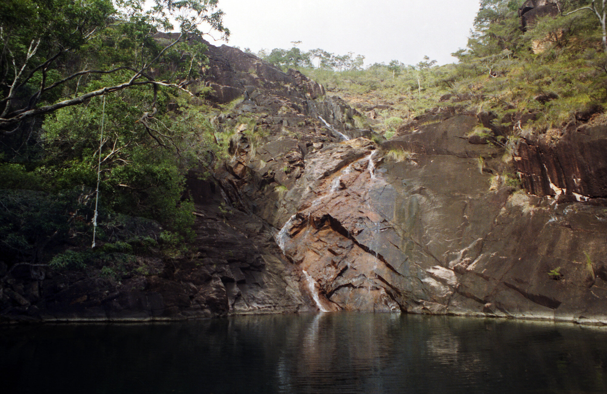
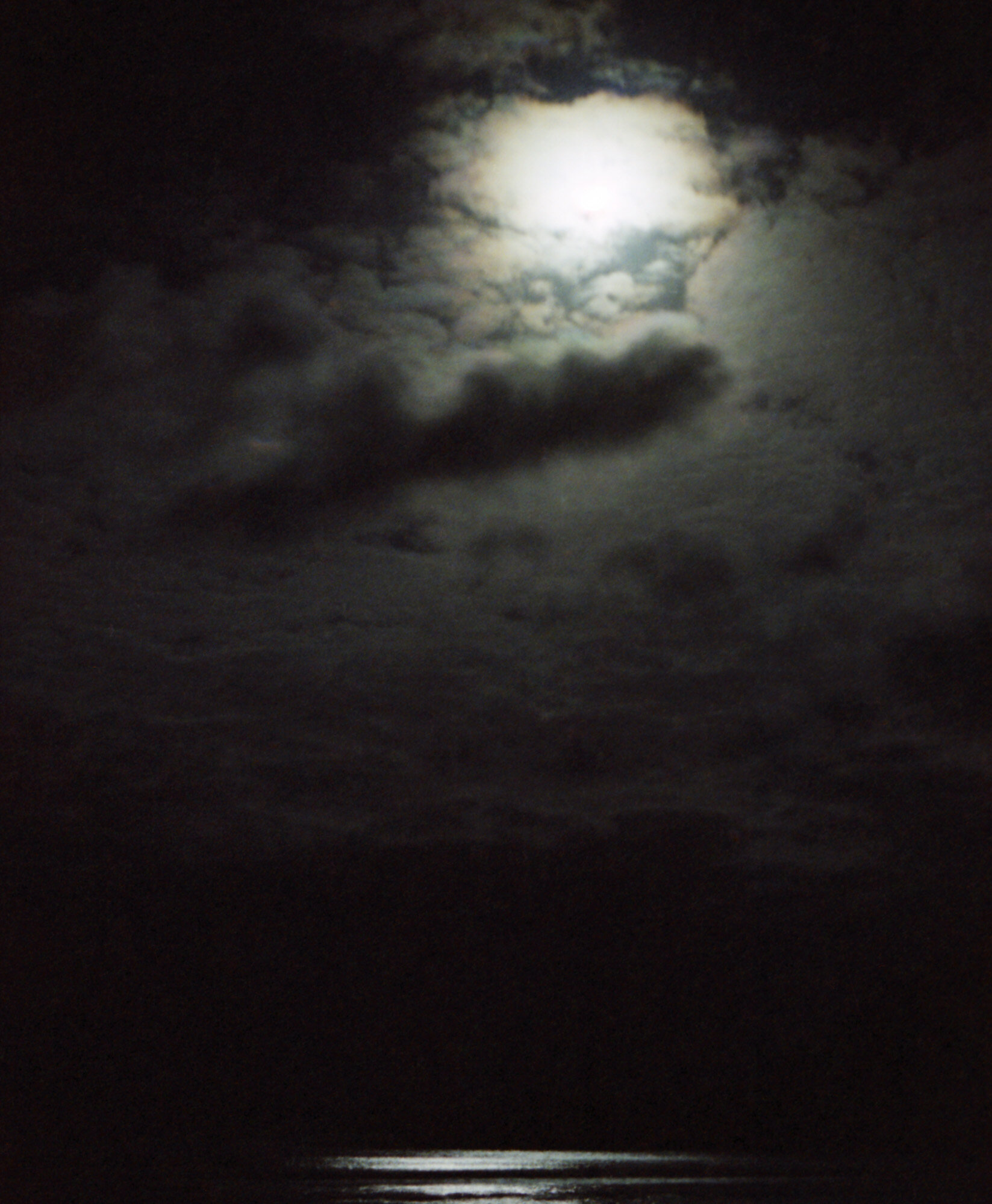
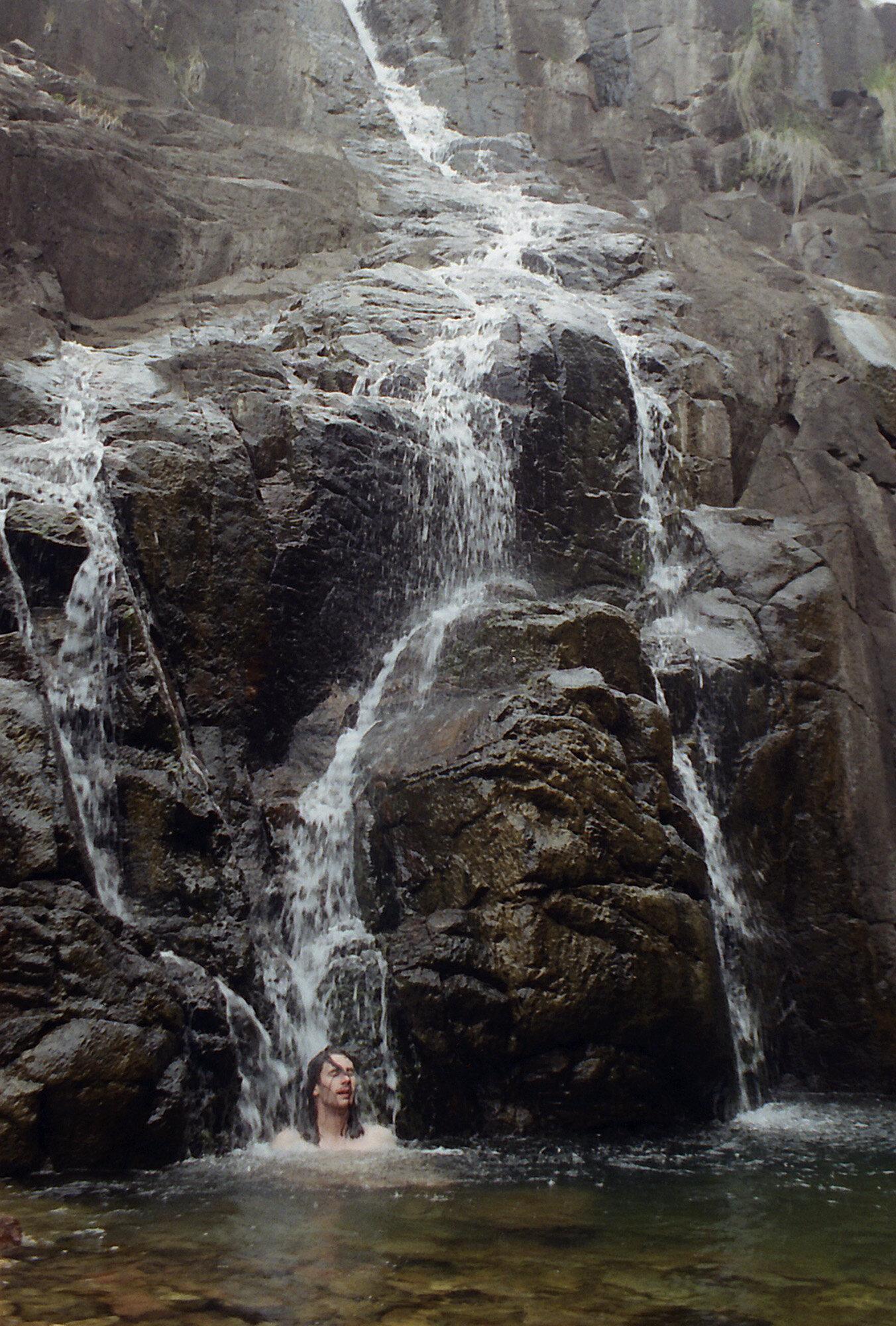
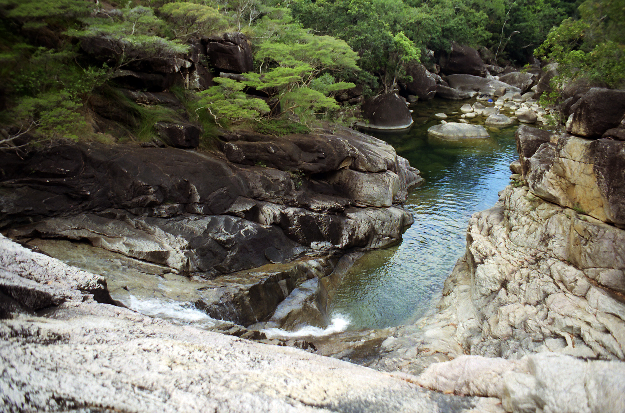
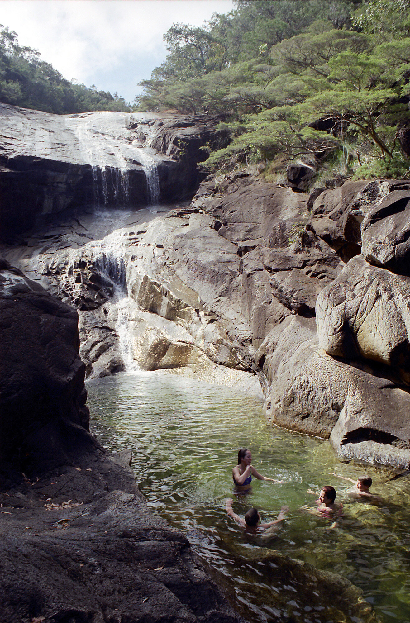
Woke around 2:00 a.m. and went onto the beach to watch the moon and stars for a while. Tried taking some pictures, don’t know if they’ll come out or not. After breakfast we headed back to the waterfall for a morning swim. I tried washing my hair next to the stream. I’m going to have dreadlocks by the end of this trip. Swam across to the falls side again. I managed to pull myself up onto the rocks. Being the rock hopper that I am, I couldn’t resist going just a few feet more. Before I knew it I was almost to the top, maybe 150 feet above the pool. There were two smaller pools on the way. It’s sloped enough to where it’s fairly easily climbed, but steep enough to still be challenging. The view from the top is amazing. You can see clear to the other side of Zoe Bay.

View from the top of Zoe Falls.
The group we passed yesterday at Banksia Bay showed up while I was climbing. On the way down I took a slightly different path. I wound up on the other side of the waterfall above the second pool. It’s a fraction the size of the main pool, but still fairly deep. To the left of me was unclimbable rock face, to the right were the falls which were covered in algae and very slick. I was about 15 feet off the water. I had two options; either go back the way I had just come to find some easier rock to climb, or jump. I took a few deep breaths and went for it. Other than slapping the back of my thigh on the water it was actually pretty fun. I swam across that pool to the top of the falls overlooking the main pool. I climbed down to the edge of the main pool, jumped in and swam over to where everyone was sitting. We all chatted for a bit, then the Banksia Bay group left to have breakfast.

Looking down on the upper and lower pools of Zoe Falls.
As I’m leaving Saturday, I’ve decided to spend another night at Zoe Bay. Luke however is leaving Friday and is moving on to Mulligan Falls. So we swapped e-mails and bid each other farewell. Nice guy. Mom had hoped I would find someone to hike with. She’ll be ecstatic when I tell her it was an Englishman. Now I have to decide what to do with the rest of my day. I think I’ll walk the beach at Zoe Bay, have lunch, then come back for another swim.

The upper pool at Zoe Falls.
Went for a walk on the beach to collect shells. I took an hour to cover a quarter mile of beach (yeah, well, it’s my vacation). To quote Rage Against The Machine, I had a “pocketful of shells” when I got back. You’re only allowed to take five a day, but I figured since I’m here for five days that’s a total of 25 shells. So I’ll just take them all today and if I find something I like better along the way I’ll swap it out with one I already have. Yeah, well, my logic also. After some cold noodle soup I was feeling out of it so I took a nap for a while.
When I woke up, my worst fear had come true; people. Just as I came stumbling out of my tent to go back up to the falls, Swiss Family Robinson comes strolling in off the beach. Four adults and 5-6 kids 10-15 years old. My fortress of solitude torn asunder like so many card houses. All the kids made a b-line for the falls. By the time I got there they were already partaking in the thrills of the swing rope hanging out over the pool. I headed straight for the smaller, second pool. They barely even noticed me, so I was pretty sure they wouldn’t follow me. I had the entire second pool to myself. After a quick swim, I huffed it up to the top of the falls again. There’s an amazing view of the bay from here, and best of all, no accursed flies.
The trail crosses the creek about 15 yds behind me. Not long ago a boy came from the northbound trail with no pack or shoes. Quite odd. Finally the mother showed up with a day pack and shoes. They set up their cooking stuff about 10 yds away. I haven’t asked where they came from yet, as the next southern campsite is about a four hour hike from here and I’m pretty sure they didn’t come from Zoe Bay. I went and talked to them. Nice people, but something fishy about them. Said they dropped off their gear on the trail. When I asked if they were staying at Zoe Bay they said “sort of”. I think they’re communists. I chatted with them for a while until about 5:30, then it was time to get back and make dinner before it got dark. Back down the waterfall I went.

The beach at Zoe Bay near sunset.
I grabbed my whole food bag and took an inventory. I was going to make cold noodle soup, because the prospect of having one of those freeze dried entrees cold quite frankly frightens me. As I was about to crack open a cup o’noodles, a guy from down the beach came up to me. Seeing my pathetic state, he asked if I wanted some dinner. He had made plenty. Being the professional mooch that I am, I couldn’t say no. It was some Thai concoction over angel hair pasta. Quite good really. The guy was from Tasmania and was working his way up the coast in a kayak. He started in Mackay and will probably finish in Cairns. He split open a coconut, made some tea, and then we talked until about 9:30 (way passed my bedtime). We talked about bugs, navy divers, and photography. He said one time while kayaking, a whale surfaced right next to him. Lucky! About 9:30, I fumbled my way back to my tent in almost total darkness and went to bed.
THURSDAY PHOTO GALLERY:
Friday, Sept 21, 2000
I’m getting up at six o’clock just like, well, clockwork. Why can’t I do this at home? Hopefully I can hit the trail before Swiss Family Robinson does. It’s nice having company, but…
[the next couple pages in journal are blank]
In case you’re wondering why there’s a gap of several pages, it’s because my book slid into the creek and this is the first dry page. It was one of those moments me & Rodney [Houston coworker] joke about. I saw it sliding away from me toward the water almost in slow motion, and in my mind all I could think was “NOOOOOOO!”. Dumb ass. And with my luck all the pages I’ve written in are wet and all the blank ones are dry. It should dry OK. Anyway…
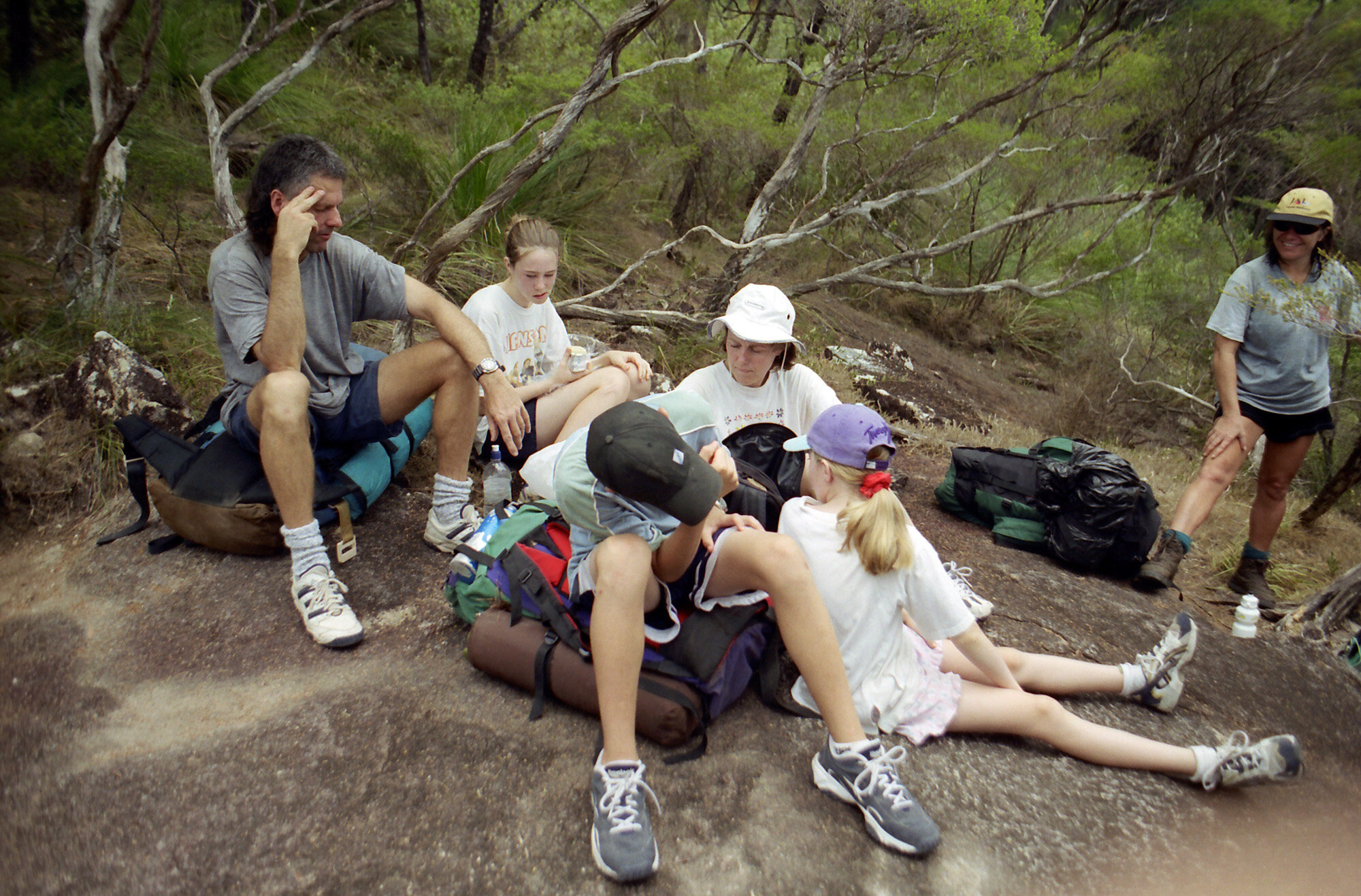
Right now I’m at Mulligan Falls. This morning I met the communist family at the top of Zoe Falls. OK, I know they’re not really communists, but since I don’t know their name… By the time I had breakfast and a swim they had broke camp and we hit the trail at roughly the same time. Two of the kids caught up to me first. Hey, the girl didn’t even have a pack on, alright! We walked together for a ways. We eventually came to spot marking the highest point on the trail and we stopped for a break. There were some south-bounders stopped there as well.

Mathias on the trail to Mulligan Falls.
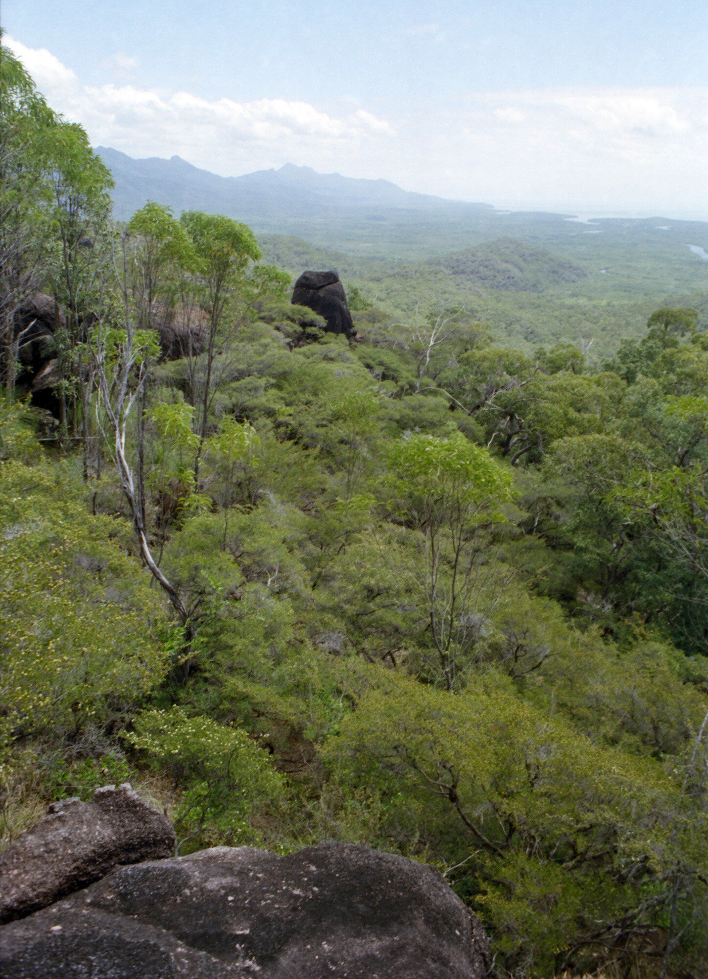
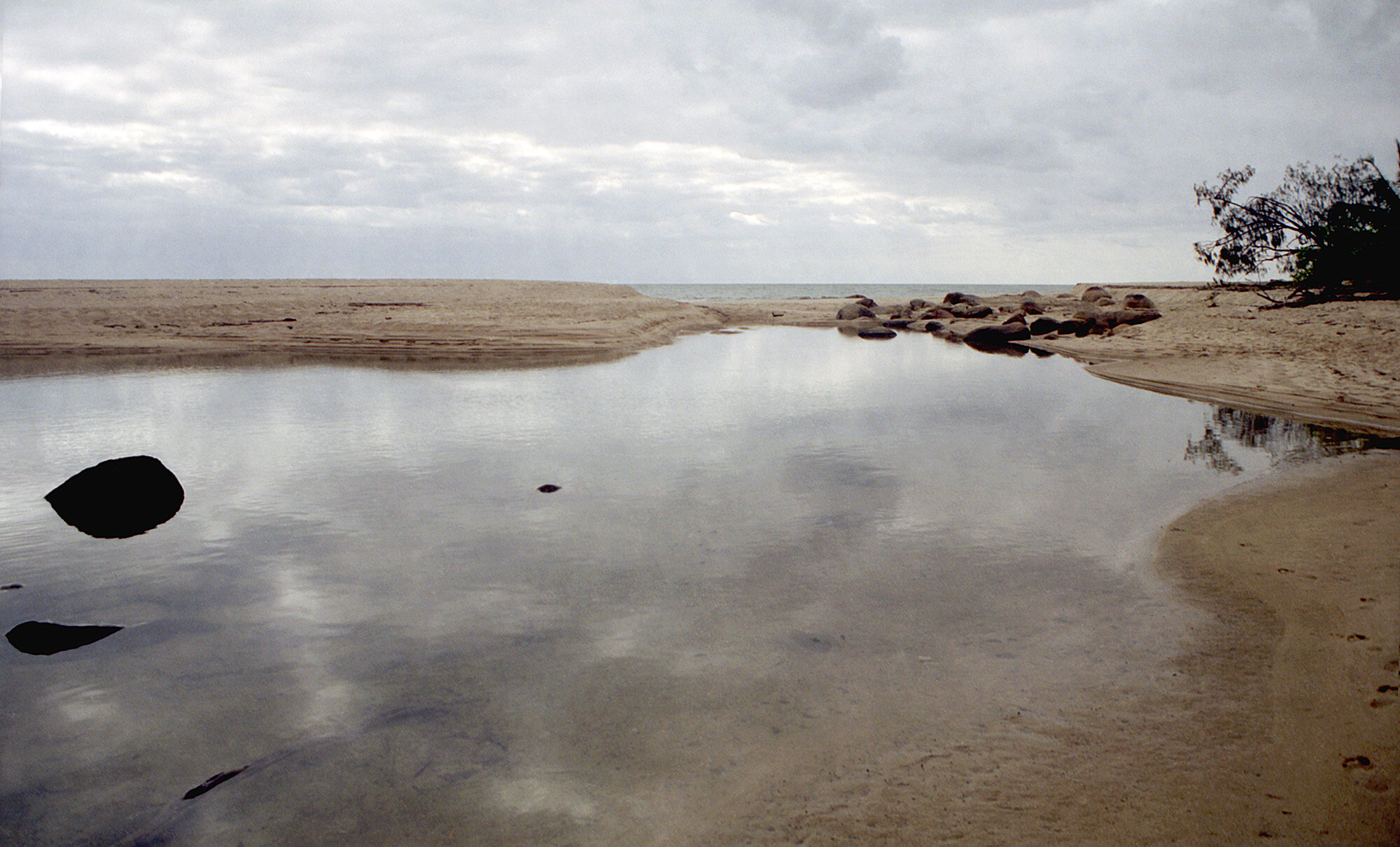
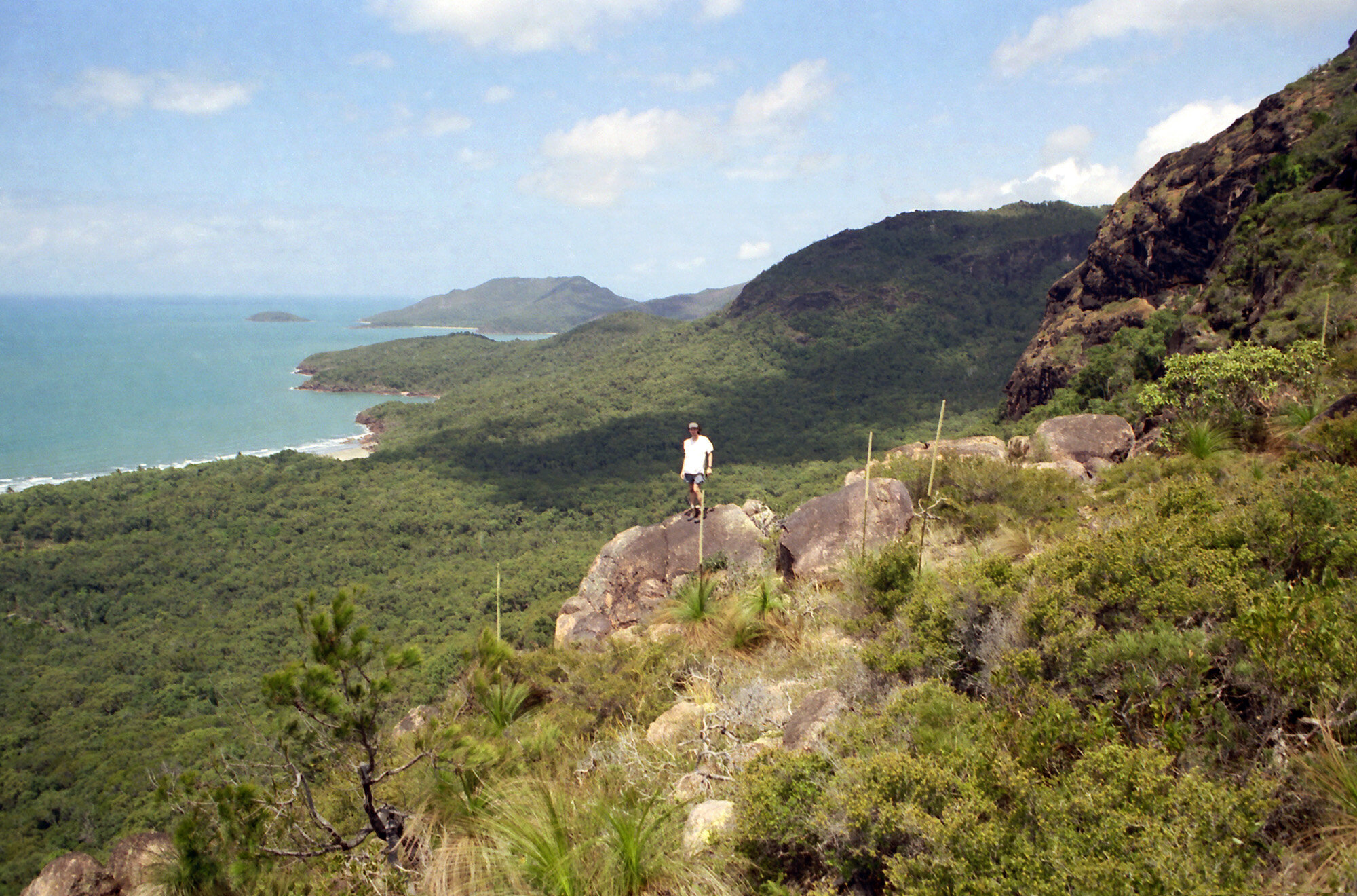
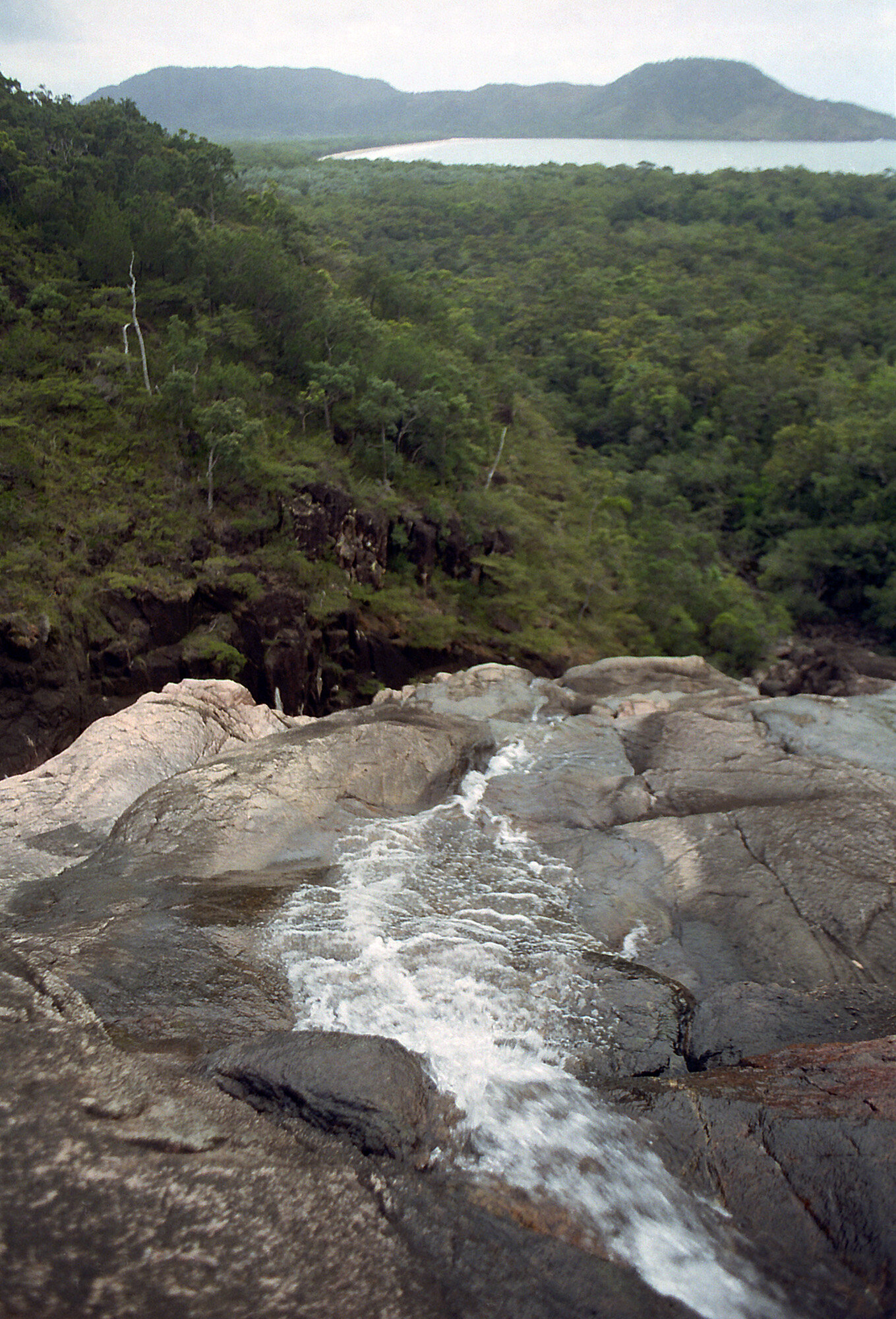
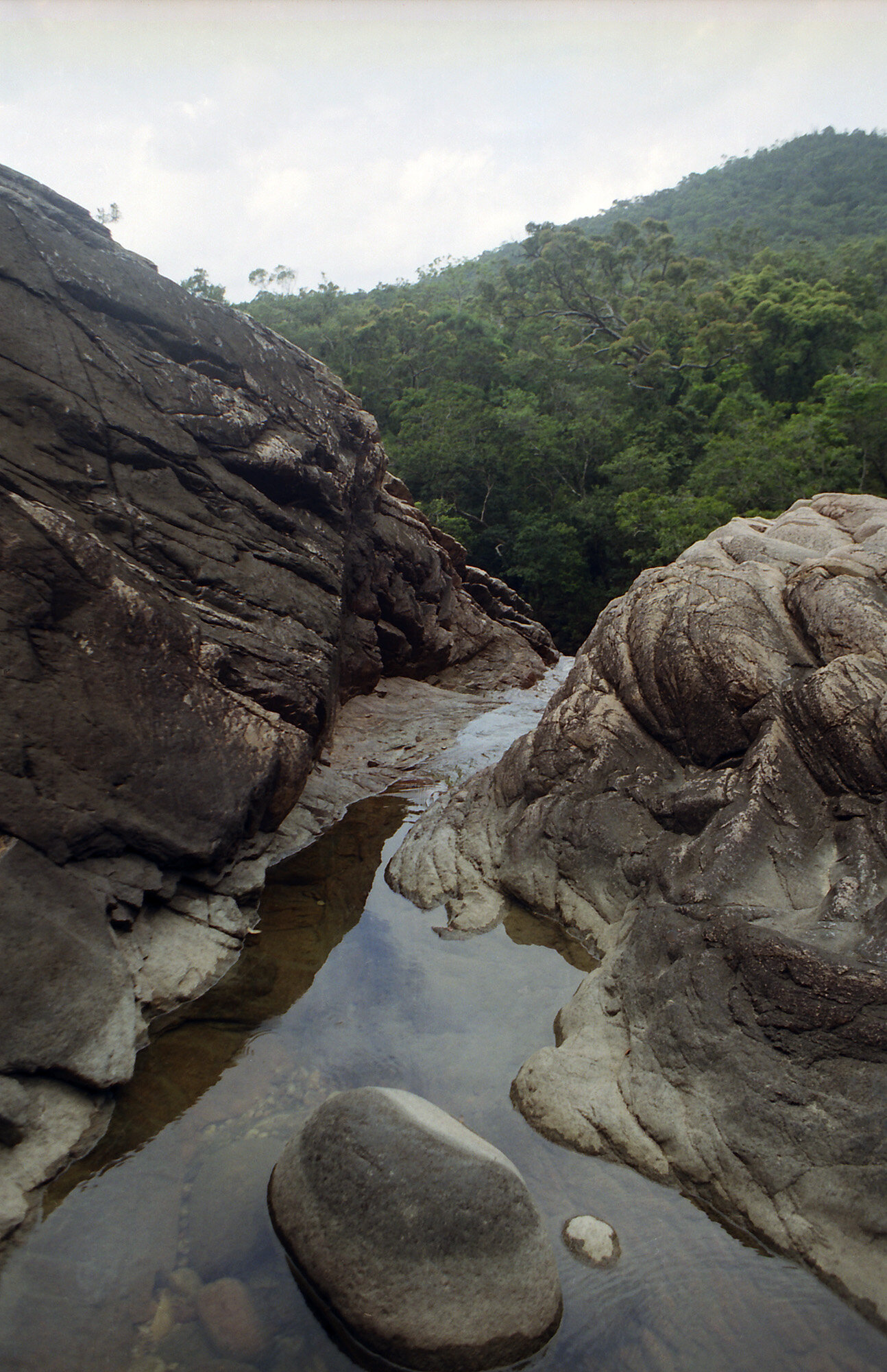
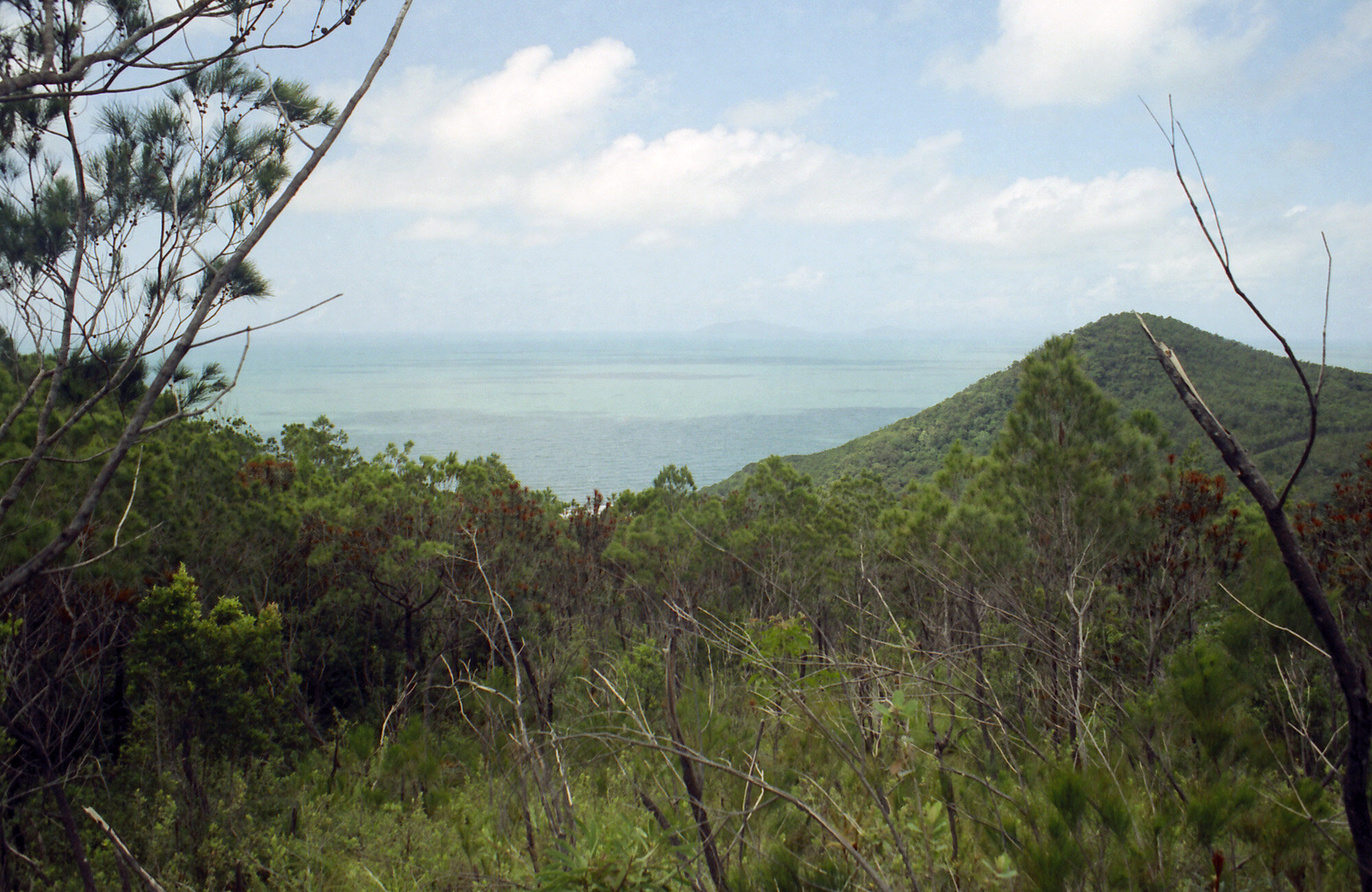
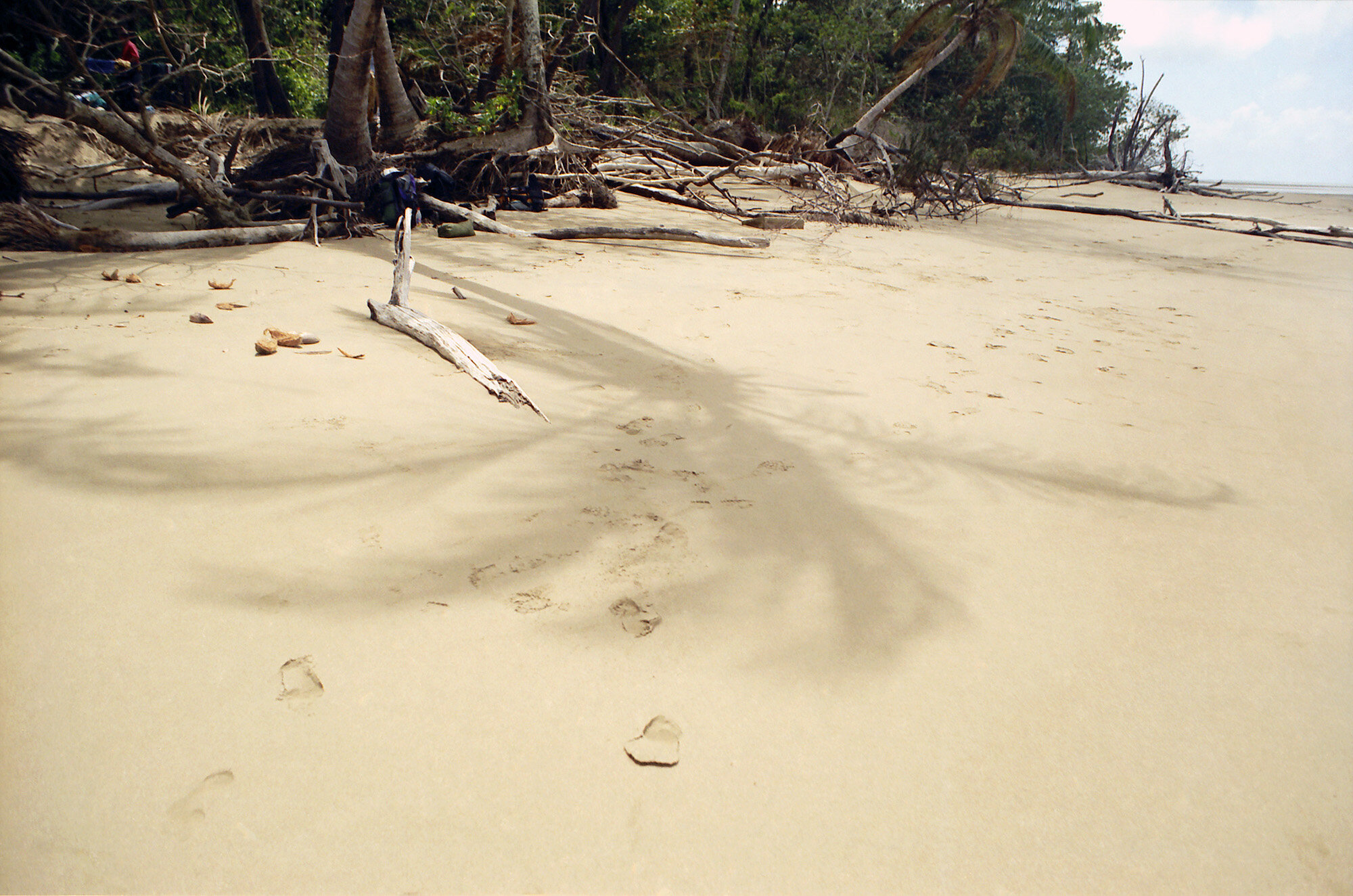
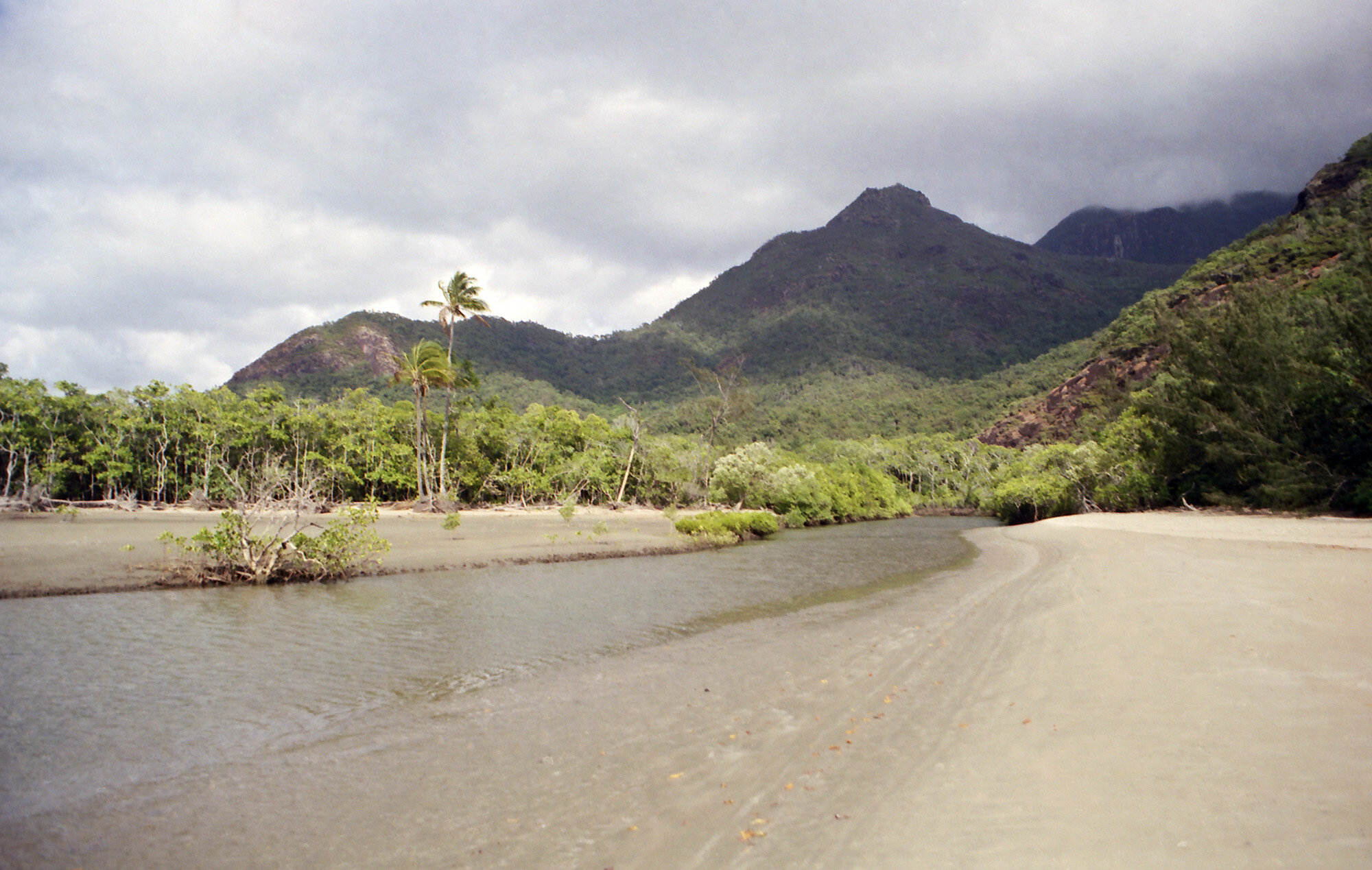
Not much later came a German guy. His name is Mathias. The lot of us got to talking for a bit. After a while the communist family drudged on ahead. Mathias also plays guitar and plays an American standard Strat. We continued on the trail together. He seems pretty cool, he speaks English very well. He’s involved somehow with the European stock market. I learned all about the Eurodollar [this was right in the middle of the Euro’s implementation]. We came to an overlook where you could see the whole southeast side of the island and across the channel to Dungeness [village of Lucinda]. You can also see the jetty that sticks out from the mainland about a mile or two. We also took the detour to Sunken Reef Bay.It wasn’t a very attractive beach. There was a lot of driftwood and garbage on it. Back on the main trail I could really feel the weight of my pack. Each step was an effort, and going downhill isn’t necessarily easier.

Mulligan Falls.
We finally made it to Mulligan Falls. It’s a nice sight, very wooded, and it had the first up and running pit toilet on the trail. The only bad part is there’s no beach nearby, so there’s no quick escape from the bugs. After setting up camp it was time for the pool. Mulligan Falls is quite beautiful. It couldn’t quite take the place of that first sight of Zoe Falls, but it was still very nice. The Swiss Family Robinson was already swimming and frolicking about. After a quick dip in the once again chilly water, I climbed the falls. Starting from the top going upstream about 100 yds. It looks like an amusement park water ride. Beyond that is a few more pools. It was on the water ride section that the aforementioned journal tragedy occurred. Giving up the attempt to write in a soggy journal, I went back to my tent to have dinner (cold noodle soup and oatmeal. Separately, not mixed) and go to bed.

Having a soak in the pools above Mulligan Falls.
FRIDAY PHOTO GALLERY:
Saturday, Sept 23, 2000

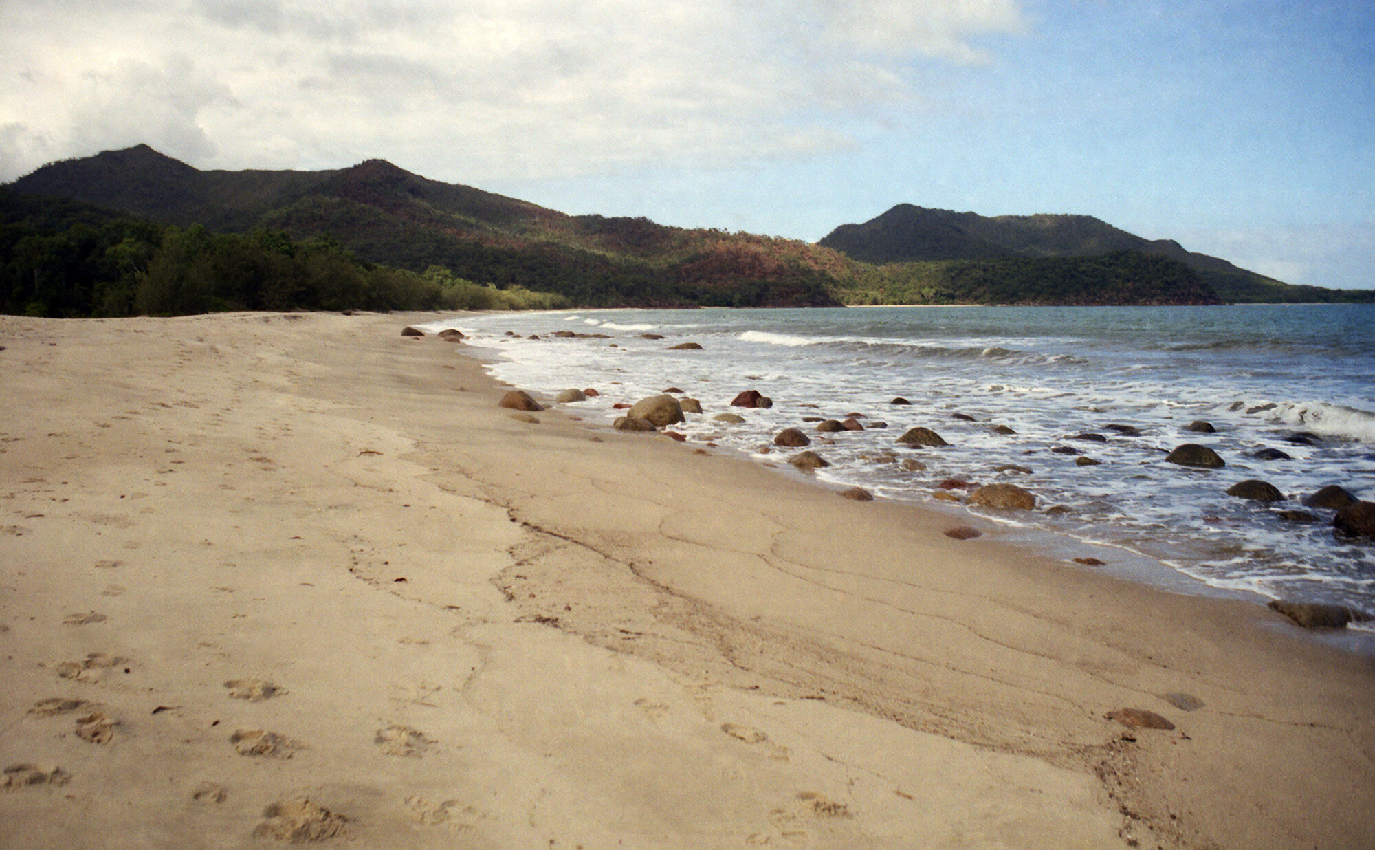
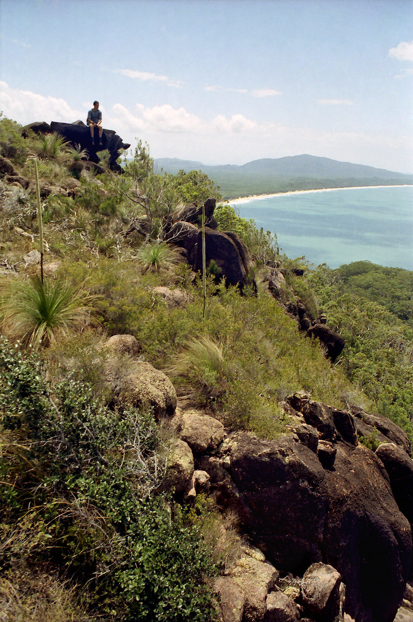
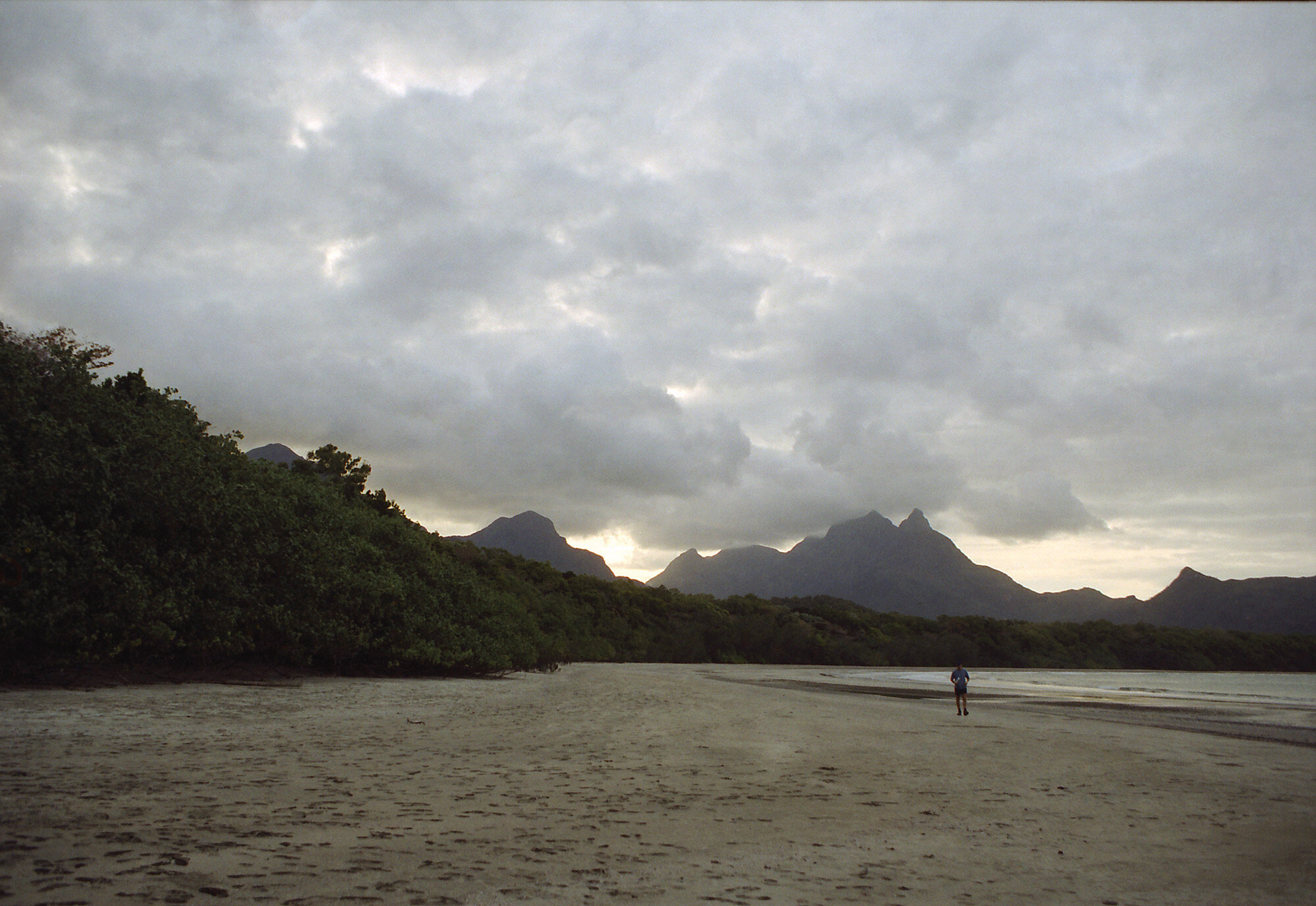
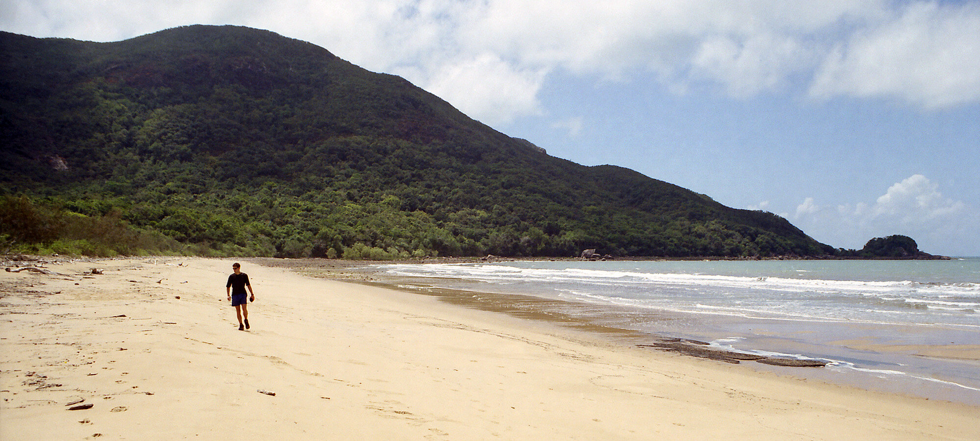
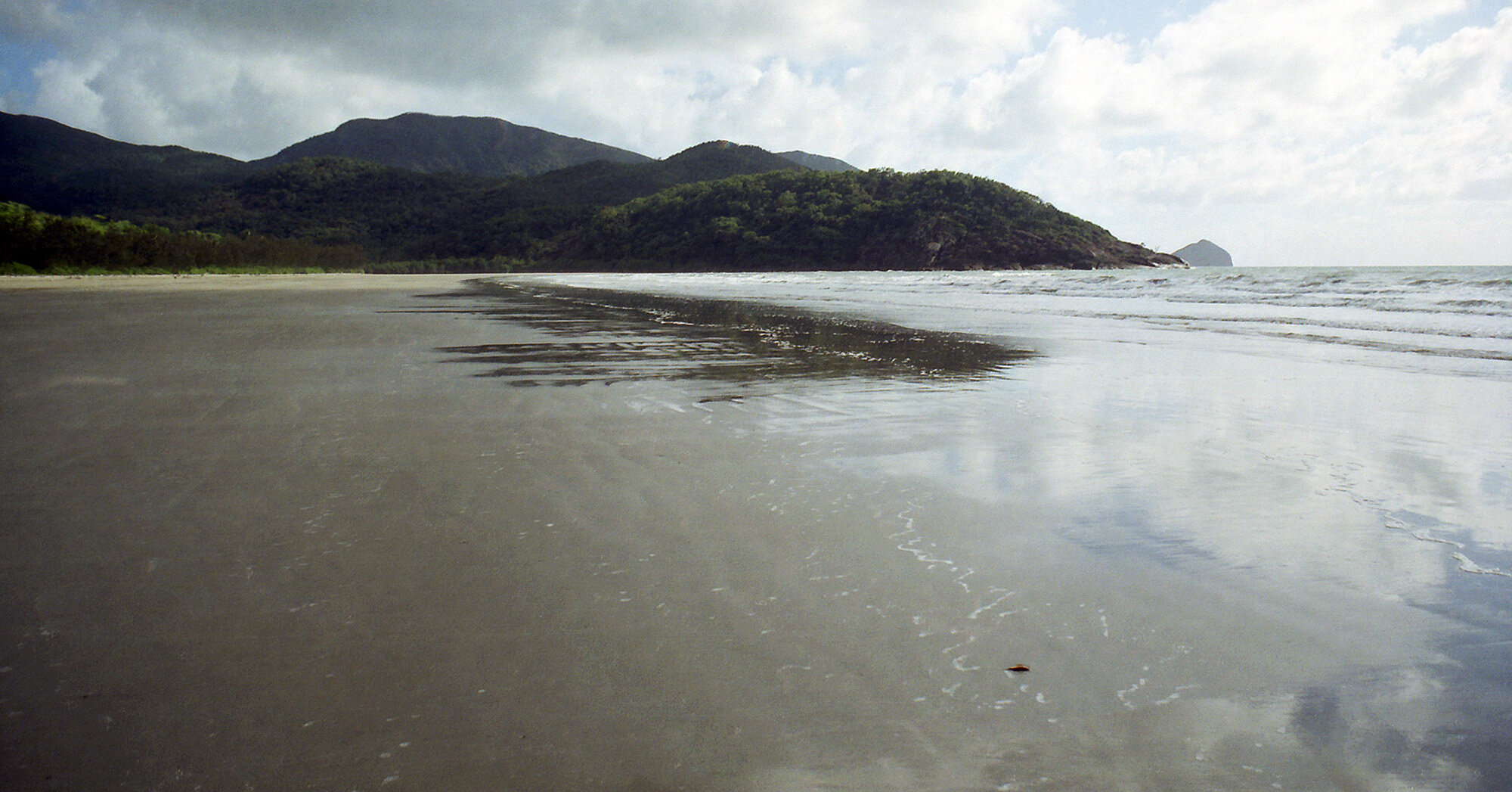
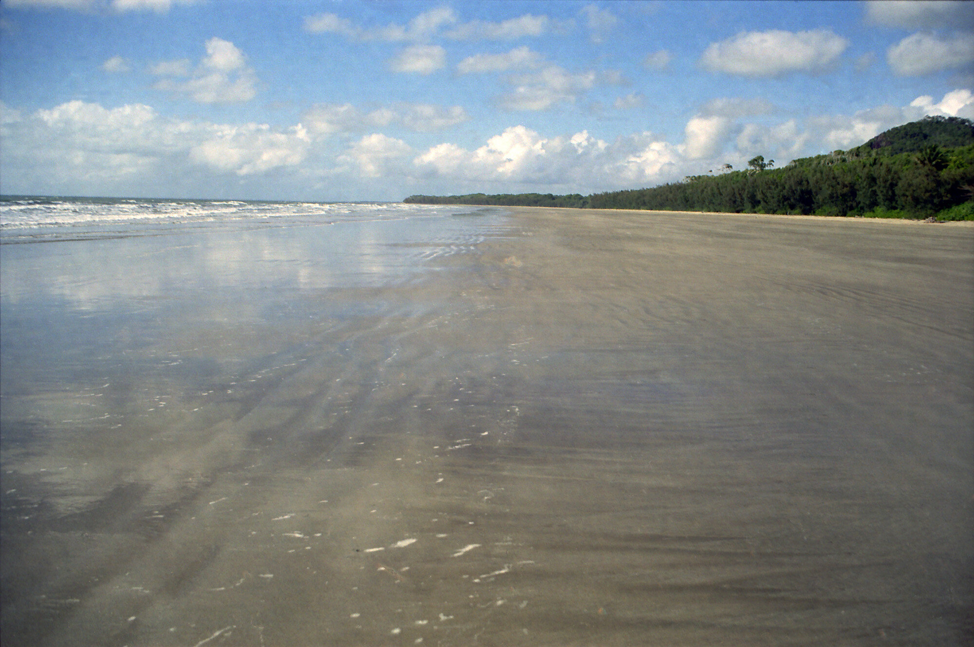
Panorama of the beach on the final hike to George Point. Not another person anywhere aside from Mathias and I.
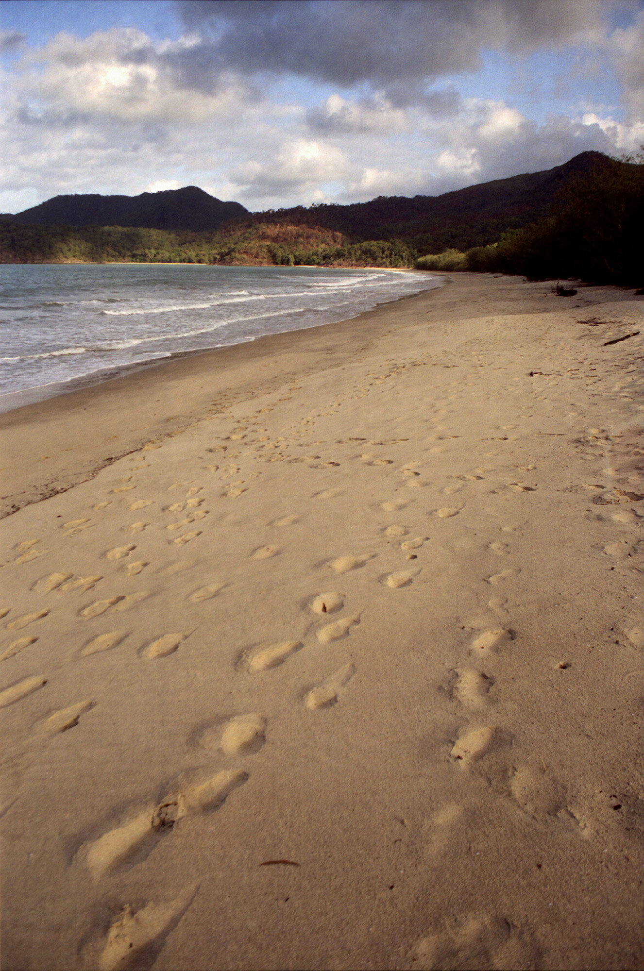
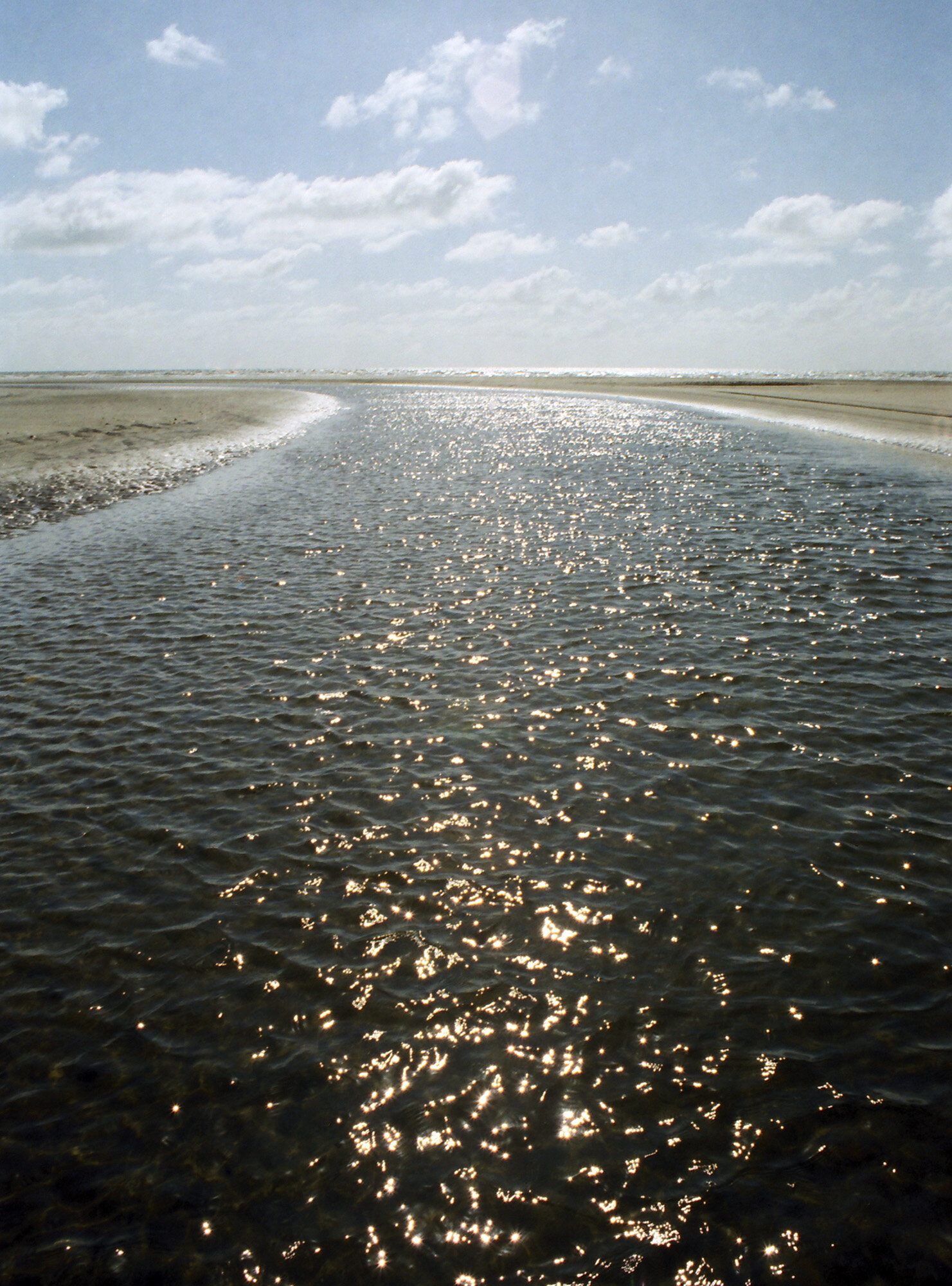
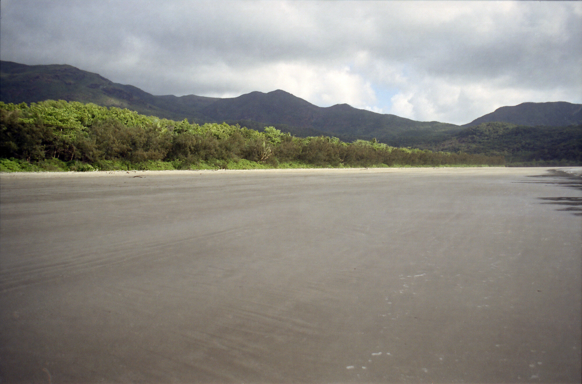
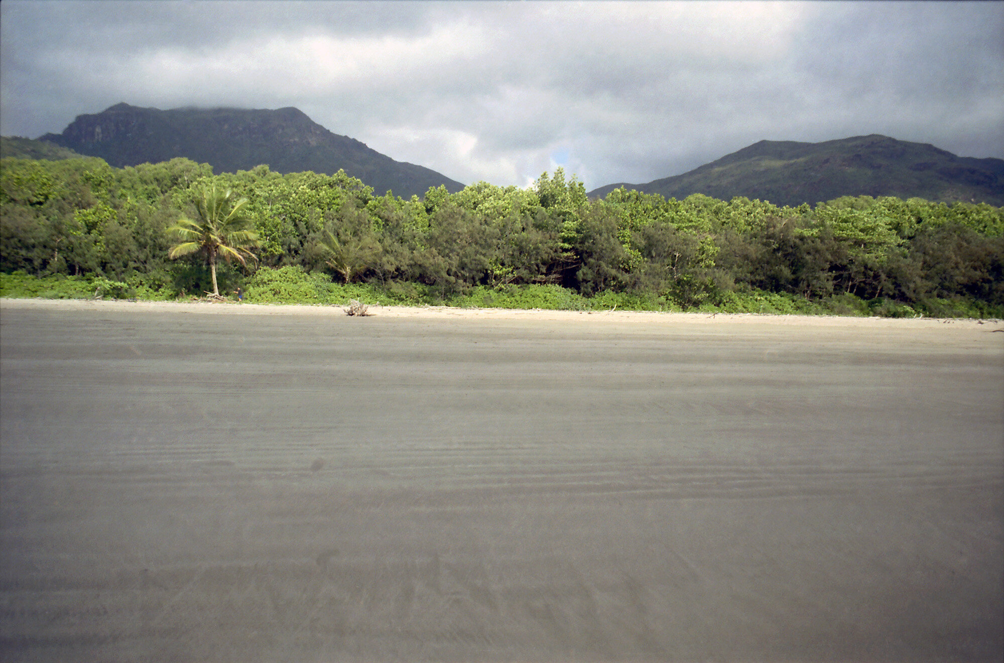
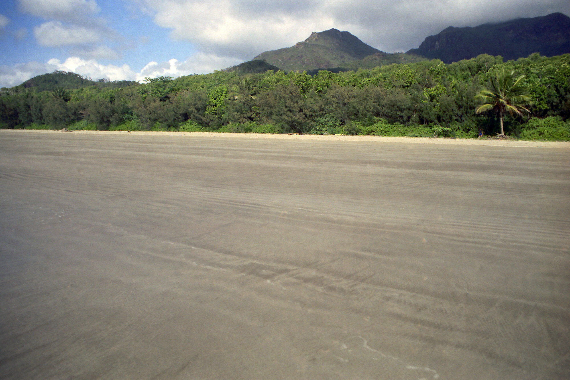
Broke camp by 7:00 a.m. had breakfast by the falls to enjoy the peaceful serenity that comes from being one with nature… but mostly ‘cause there were no bugs. Although today would be the shortest part of the walk, Mattias and I got an early start, about 8:00. Thankfully the rest of the trail is flat. I don’t think my legs could take any more hills. After 2.5 km we finally broke out of the woods onto the beach. I still find it amazing to be on a beach several miles long and be the only person on it. About one or two km down the beach was where Mulligan Creek empties into the ocean. Since there was no good crossing we had to take off our shoes and socks and wad in. Being on the beach, we just kept our shoes and socks off and walked the rest of the way barefoot.

Crossing a small creek along the beach hike. I went barefoot the rest of the way.
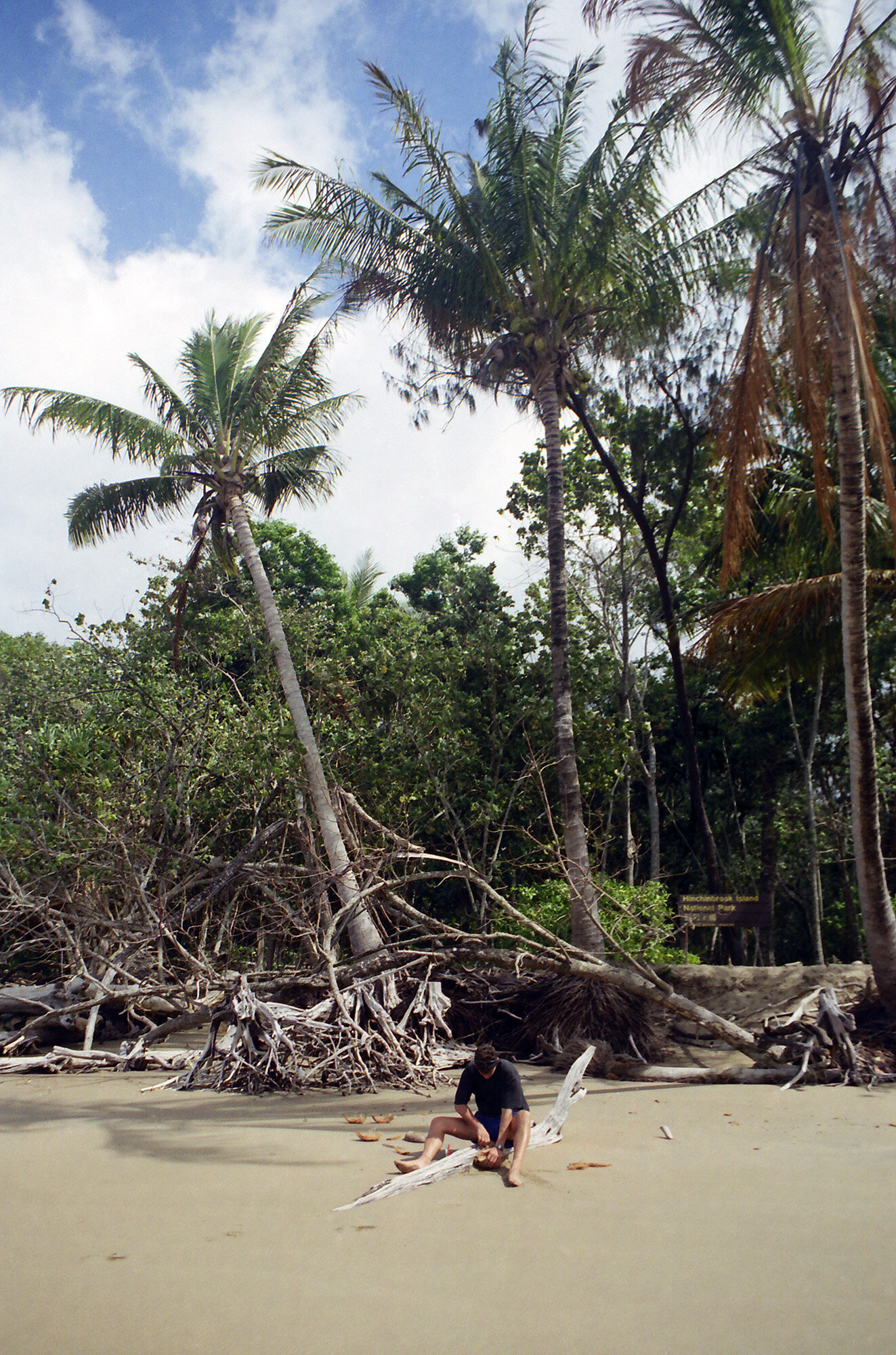
Along the way, Mattias was collecting sand dollars to use as the numbers on a clock he’s making for his girlfriend. Very romantic. Close to George Point we finally saw someone, a couple who had just gotten off the ferry were just starting the trail. Just around the bend was George Point, where the ferry would be picking us up. There were a couple of hours to go yet, but with an empty beach, sunny skies, and a cool breeze, I think I could handle it. Mattias cracked open a coconut he found, I had the milk out of it. Never really had coconut milk before, it’s really quite tasty.
Then we left our packs at George Point and took a walk farther south down the beach. There was a low tide sandbar that was pretty far out from the main beach. Mattias kept walking. I just stood there, basking.

Mathias breaking into a coconut while waiting for the ferry to pick us up.

The ferry back to Lucinda
On the way back to George Point I saw a bunch of cool shells, but every time I picked one up there was a crab inside. As I got closer back to the Point, I could see that Swiss Family Robinson was starting to straggle in. Some of them threw their packs down and got right in the water. One of their leaders had a cell phone and called ahead to the ferry, who was going to make a special trip. After Mattias came back we all took pictures of one another with the George Point sign to commemorate not dying on the great Thorsborne Trail. When the ferry came there was room for everyone except Mattias and I. We would have to wait until the two o’clock. Oh, well. Forced to stay in paradise two more hours, twist my arm. The communist family showed up a little later. Did I mention that the father has a mullet? A pretty standard crew cut w/ bottom of neck length mullet. An Aussie mullet. I tried cracking into another coconut. It took me forever, and there was no milk in it. Bastard.
The ferry came a little early. The family had just started making lunch, so they brought a pot of macaroni & cheese on the ferry. The ferryman was like a cross between Crocodile Dundee and Santa Clause. As we left the island he pointed to the spot on Mount Straloch where the bomber wreck was. Maybe I’ll see it next trip.
Well, Hinchinbrook was pretty cool I must say. It was like my own personal walkabout. I survived, and am hopefully a little better for it.
SATURDAY PHOTO GALLERY:

Other posts in this series:
Great Barrier Reef Maritime Park, Queensland, Australia. Diver Down.
Everglades National Park, Florida. Keeping My Feet On Not-So-Solid Ground.
Great Sand Dunes National Park, Colorado. An Alien Planet In The Middle Of America.
Gateway Arch National Park, Missouri. Super sketchy, But I Did It.
Dry Tortugas National Park, Florida. Best Birthday Ever.
Theodore Roosevelt National Park, North Dakota. Stuck In A Dangerous Situation.
Great Basin National Park, Nevada. An Unexpected Journey.
White Butte, Highpoint of North Dakota. Really? More Goats?
Mount Katahdin, Highpoint of Maine. If At First you Don't Succeed...
Hawkeye Point, Highpoint of Iowa. So... Much... Corn...
Granite Peak, Highpoint of Montana. I Have Seen The Top Of The Mountain, And It Is Good.
Mount Borah, Highpoint of Idaho. The Great American Eclipse Of 2017.
Tri-Point Of Iowa, Nebraska, And South Dakota. Hot. Damn Hot. Real Hot.
Sassafras Mountain, Highpoint of South Carolina. Please excuse our mess.
Ebright Azimuth, Highpoint of Delaware. Rock bands and space shuttles.
Charles Mound, Highpoint of Illinois. A farmland stroll.
Tri-point of NC, TN, and VA. My car meets its match.
Mount Rogers, Highpoint of Virginia. OH MY GOD!!! LOOK AT ALL THE FUZZY PONIES!!!
Guadalupe Peak, Highpoint of Texas. Birth of an obsession. And big freaking bugs.