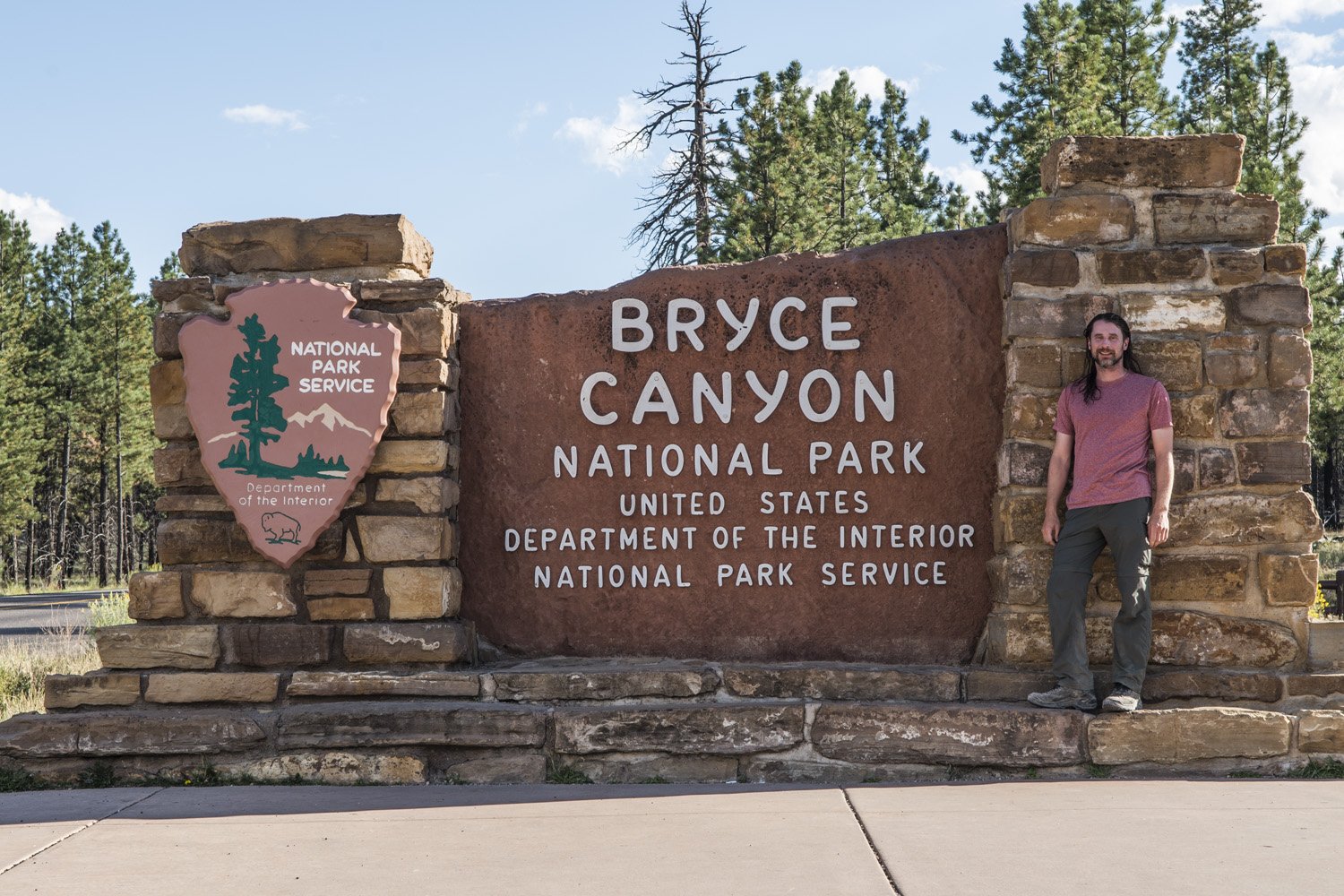
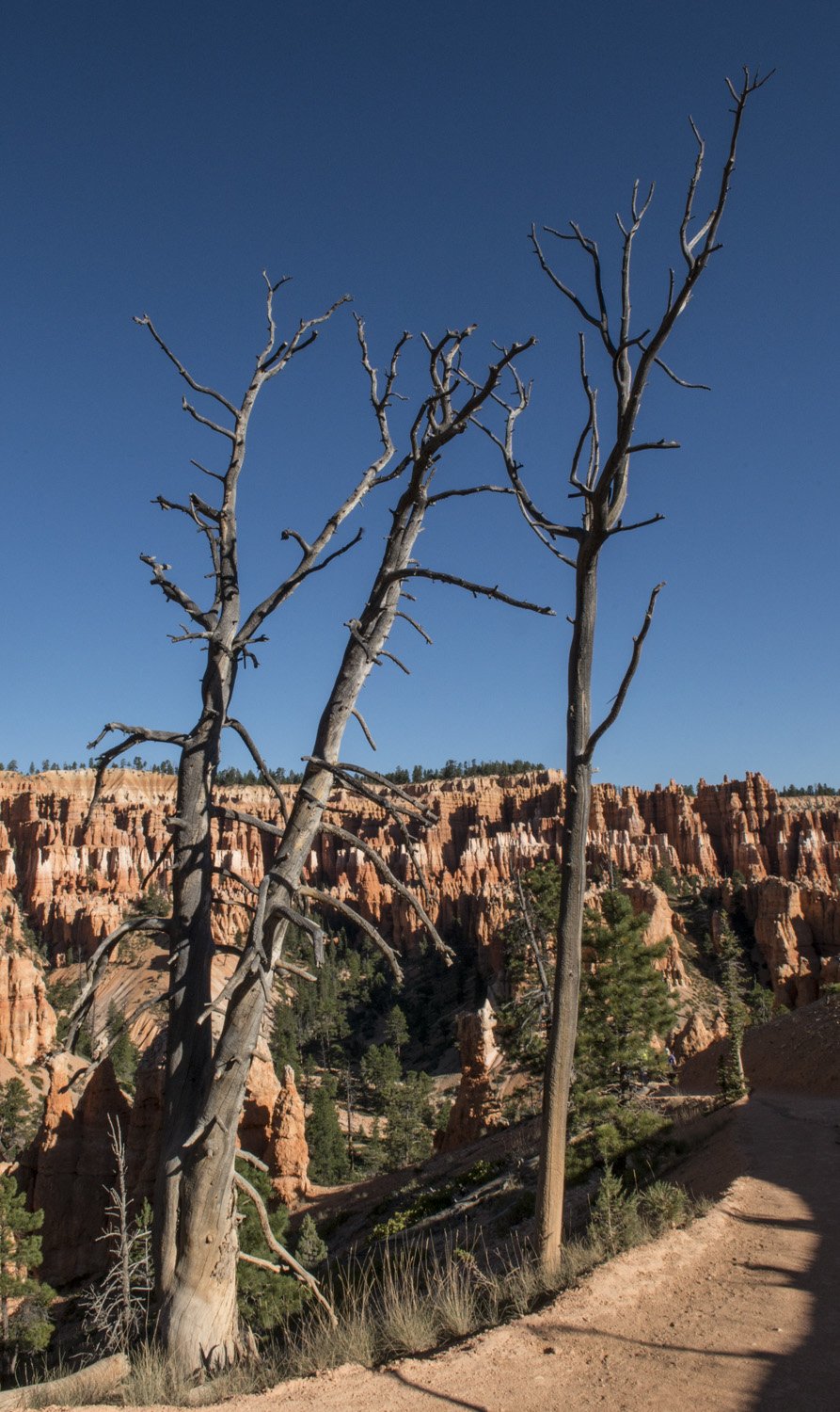
Park Visit: August 25-26, 2017
DAY ONE:
After an amazing week of seeing the Great American Eclipse from the summit of Mount Borah and then Great Basin National Park, I headed off to my next destination; Bryce Canyon National Park. Much like the drive going to Nevada, driving back into Utah was equally remote feeling and desolate. It was about another 90 miles from Great Basin to the first town I would hit in Utah and I never saw a single other vehicle. Not one. Along this route I was driving up and over a series of small ridges with wide, flat valleys in between. With no trees at all on the landscape, I could see what seemed like forever. I was curious about how far these ridge lines were apart, so when I came up over one of them and I could see the next ridge in the distance I set my trip odometer. I picked a spot on the road that I could see on the next ridge and that would be where I checked the trip odometer to see how far it was. It was 14 miles. And of course I saw absolutely zero signs of any civilization whatsoever, aside from the paved road that I was on.
So I continued on into Utah, stopped for lunch, and kept going toward Bryce Canyon, crossing route 15, and driving through some really cool looking red rock country. About four hours after leaving Great Basin, I arrived at Bryce Canyon. From the road there’s not really a lot of stunning landscape to see as the canyon is not visible from the road. My first priority was to hopefully find a camping spot. So I rolled into the Sunset Campground, which is walking distance to the amphitheater. Luckily they still had just a few spots left so I was able to snag one. The campground must’ve sold out quickly because as I was setting up my tent, one of the campground attendees stopped at my site and asked if I would be willing to share with a couple that were looking for a spot. My site had plenty of room, so I didn’t mind. They were a younger couple from Europe and set up at the back of the site. Once I was done setting up camp I wanted to go see the main attraction: the amphitheater.
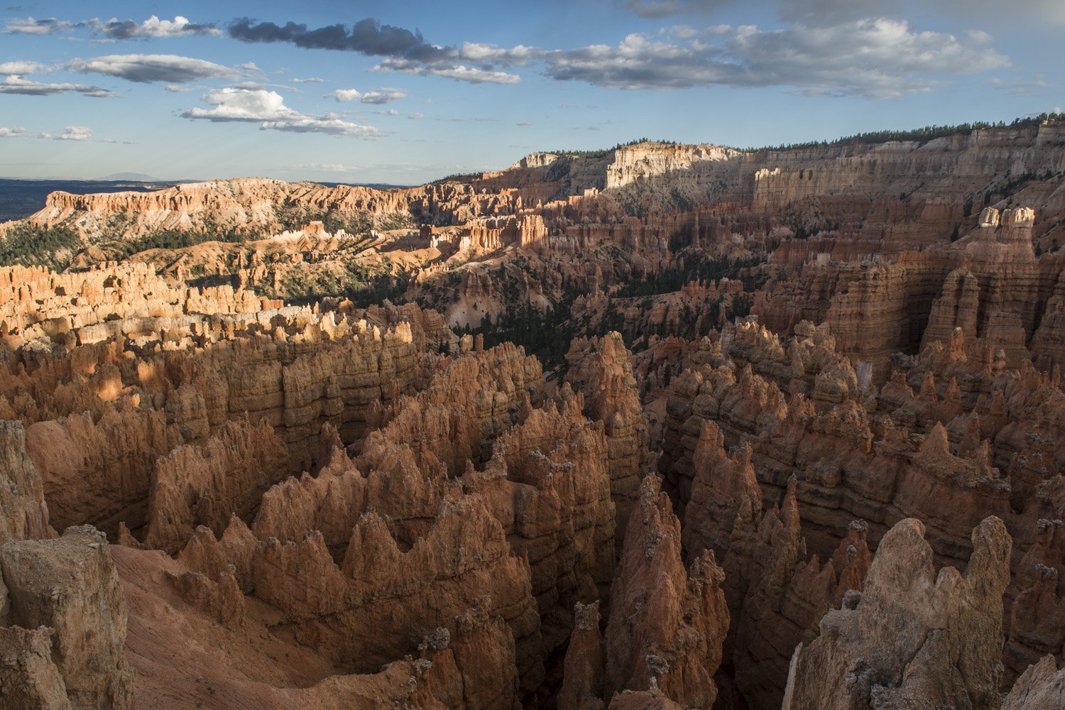
First view of the Amphitheater
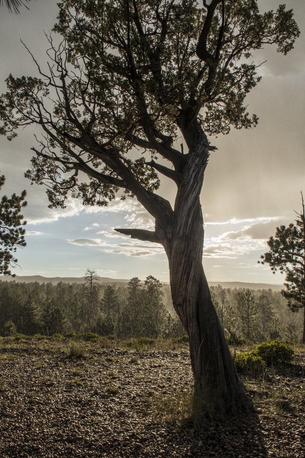
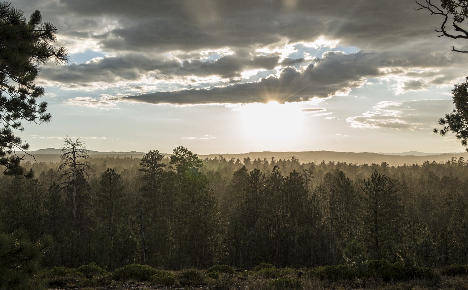
A sunny rain storm
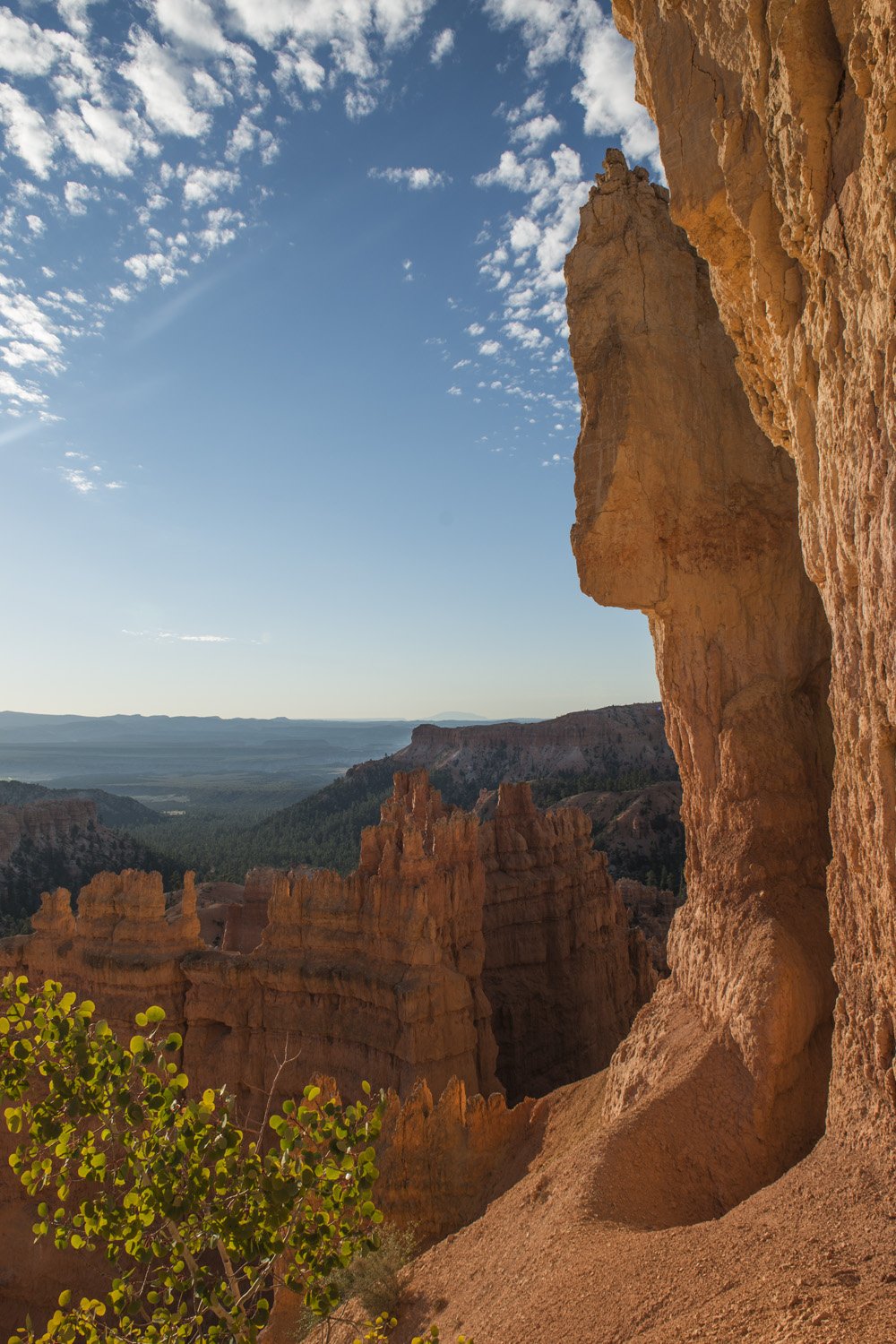
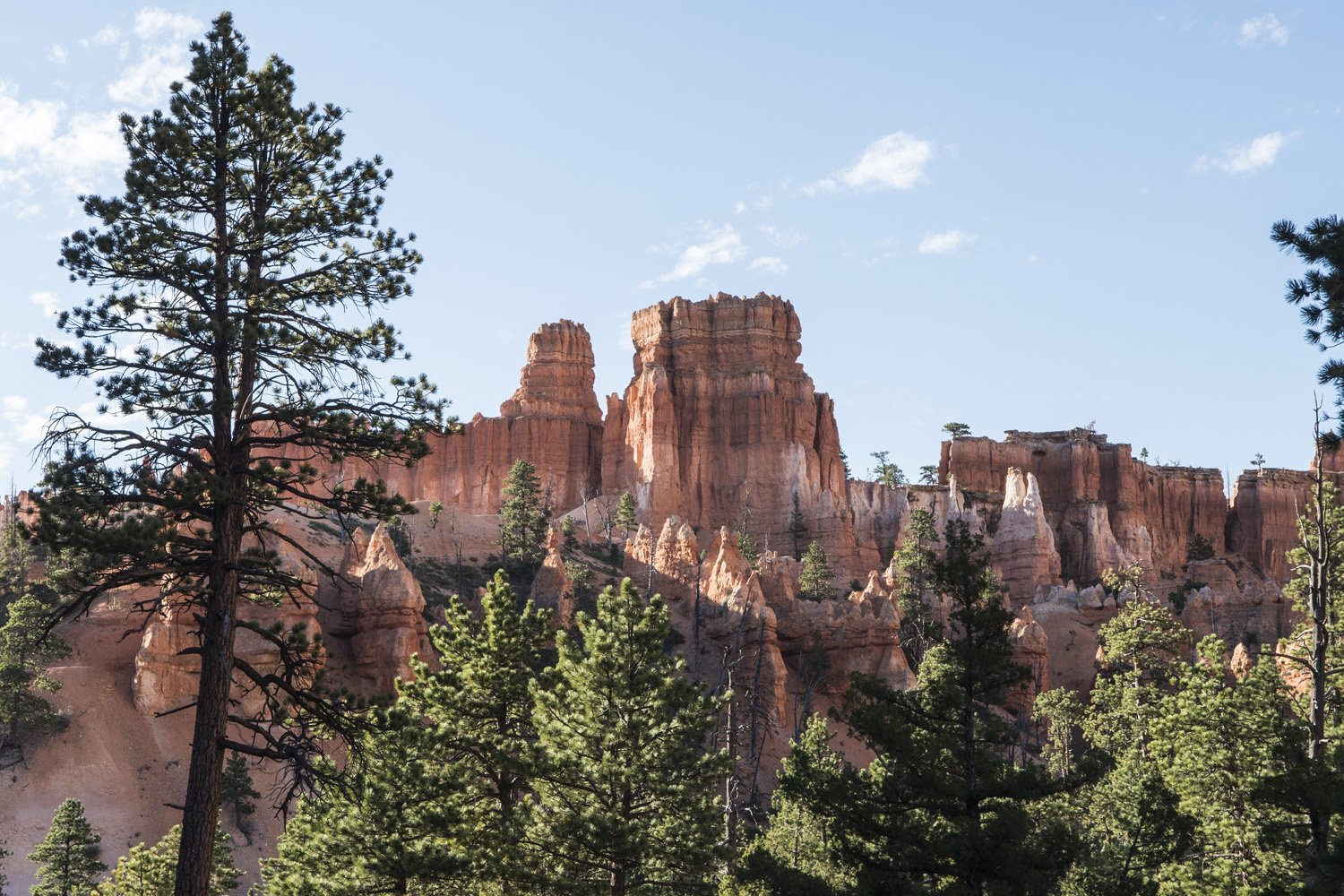
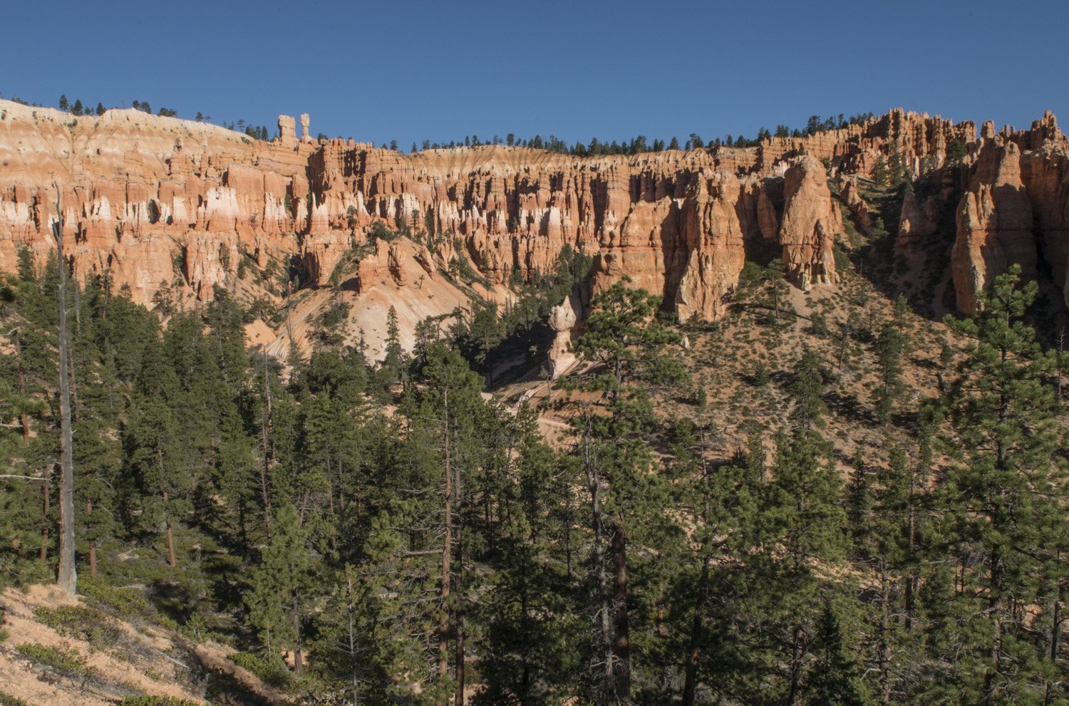
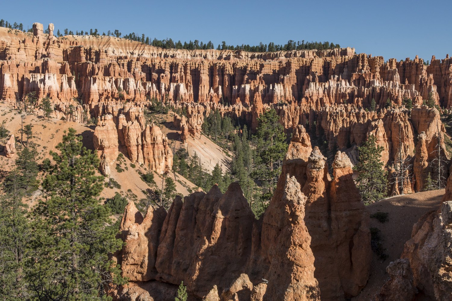
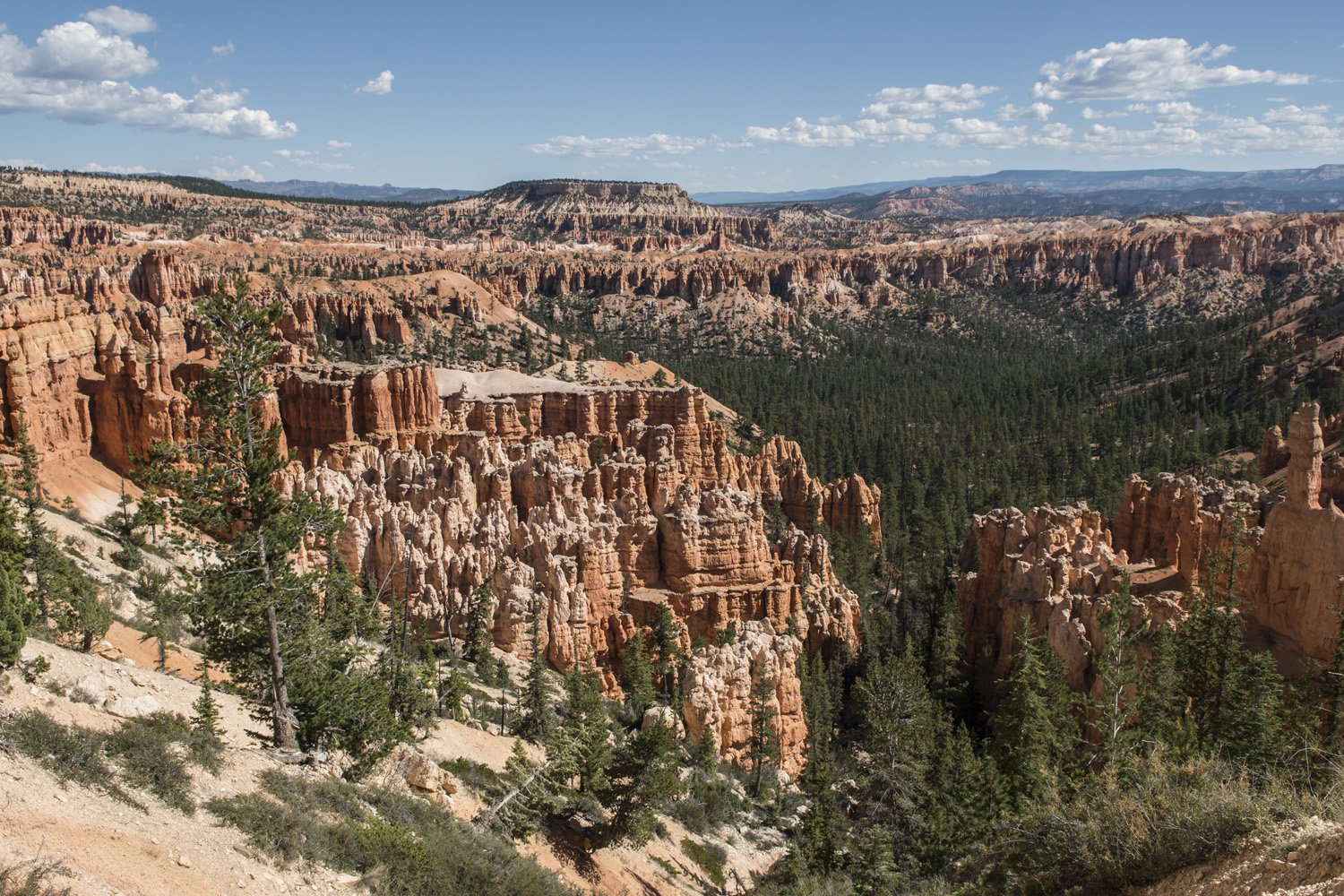
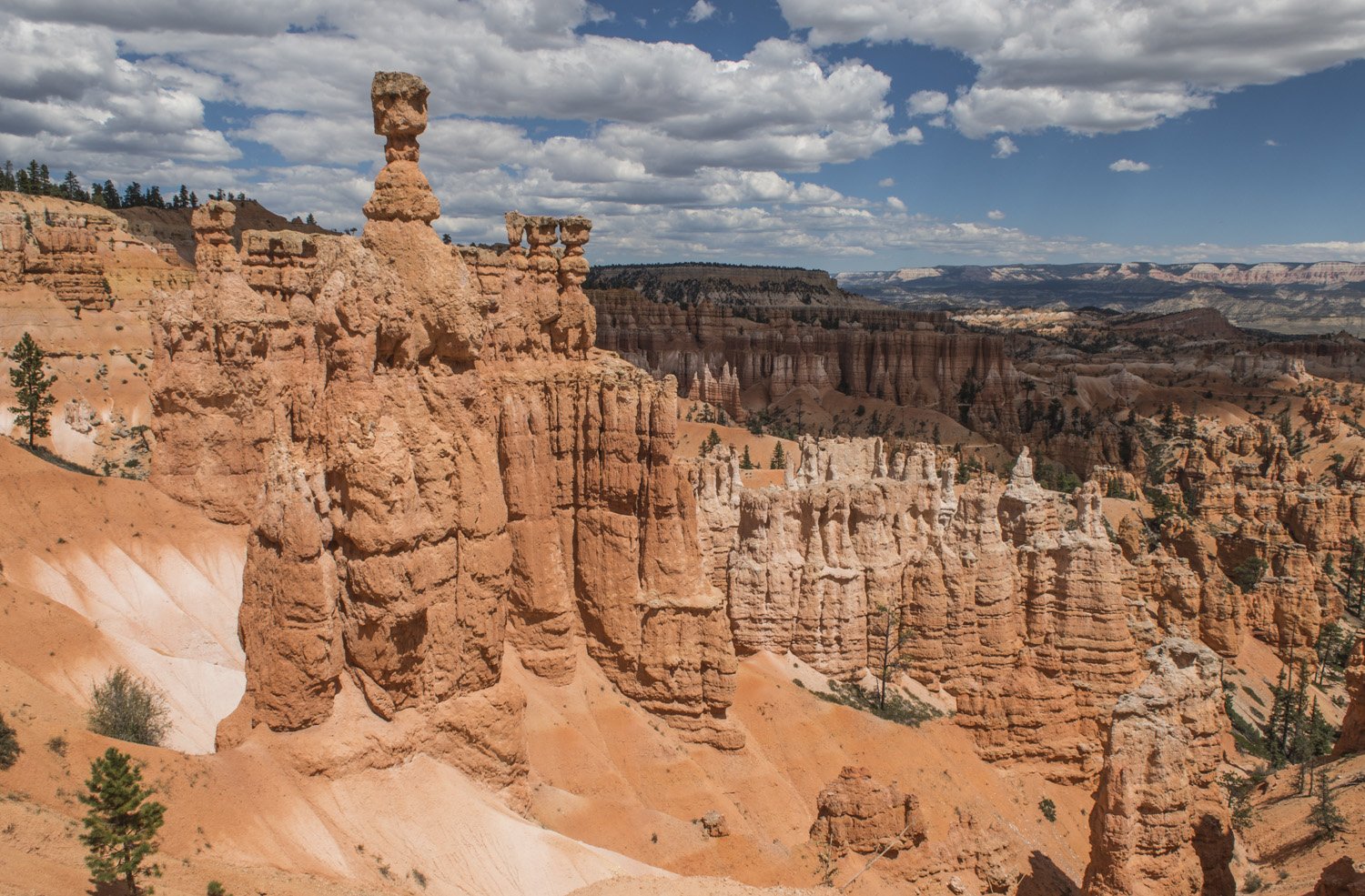
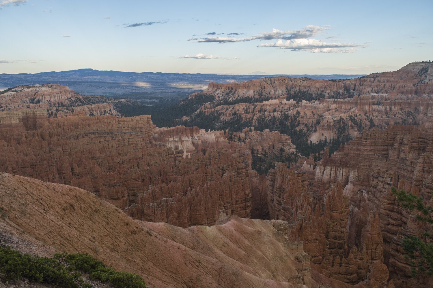
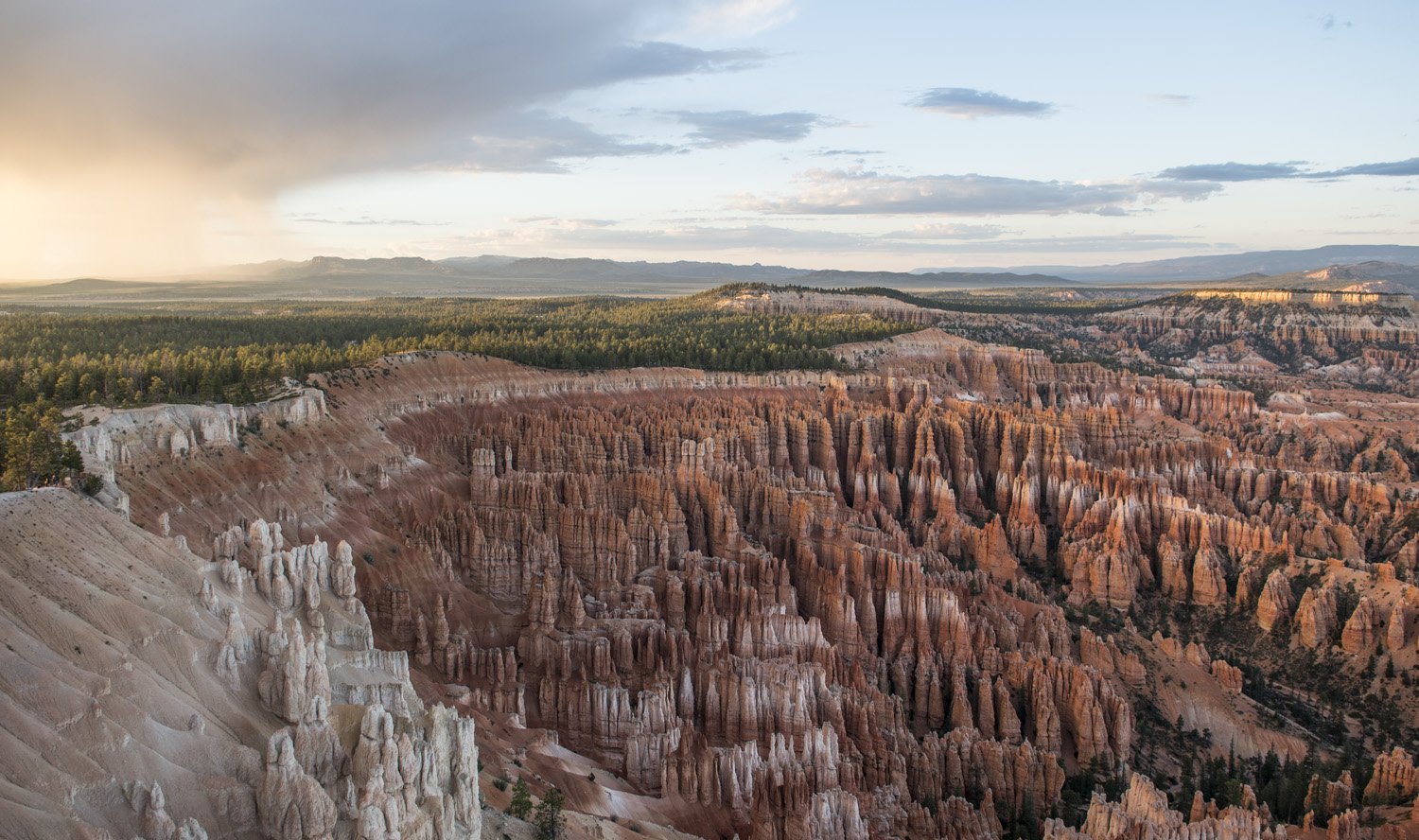
It was starting to get late in the day so I wanted to make sure I saw it before sunset. It was just a short walk from the campground across from the main park road. I tried not to look at it until I was right up to the rim. There are only a small handful of sites that I’ve seen that I can say literally took my breath away, and the Bryce Canyon amphitheater is one of them. It’s almost too much to take in at first. A huge semi circular canyon full of otherworldly looking rock spires (known as hoodoos). It seems both smaller and larger than you think it would be. The scale of it is hard to wrap your head around. It’s hard to tell exactly how tall the hoodoos are, until you realize the little bits of green you see at the bottom of them are full grown pine trees.
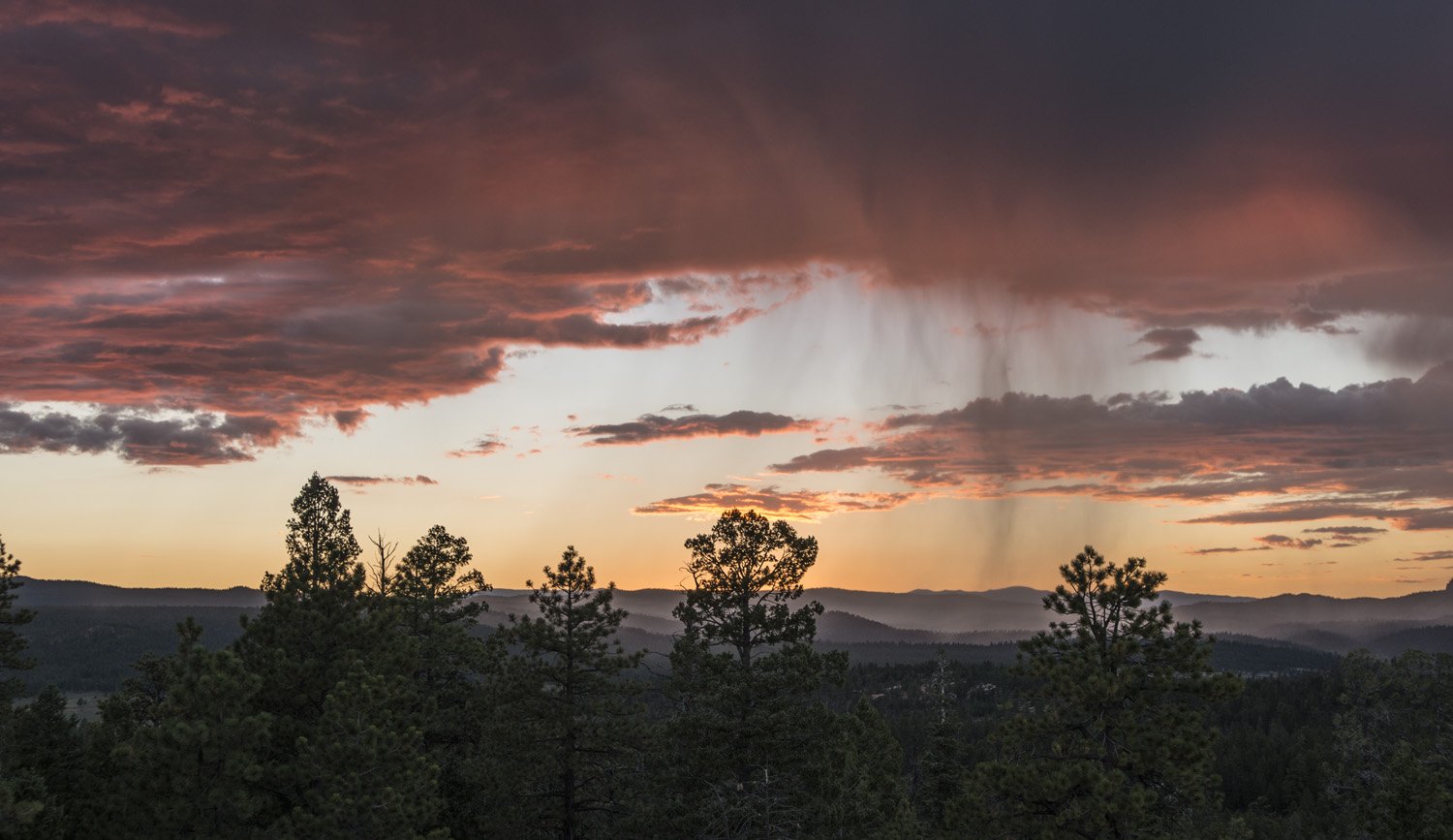
After staring in awe for a while I looked around to the west and saw a patch of storm clouds approaching. I could see the rain as it moved across the forest. On the other side of the storm clouds the sky was clear again and the late day sun was shining underneath the clouds and lighting up each raindrop as it fell to earth. I didn’t have any rain gear with me so I ducked under a tree as the rain reached the canyon rim. The illuminated rain was beautiful. A sight I don’t think I’d ever seen before. As I stood there under the tree watching nature‘s light show it occurred to me that it was going to be sunset shortly. Looking back at the rim I could see Inspiration Point, one of the canyon overlooks on the southern side of the amphitheater‘s rim. Judging by the angles it looked like that would be the spot to watch the sunset from. It was about three quarters of a mile from where I was to Inspiration Point and most of it was a slight uphill grade. I still had about 20 minutes before sunset so I decided to go for it. I started huffing it to Bryce Point.
Nature’s light show
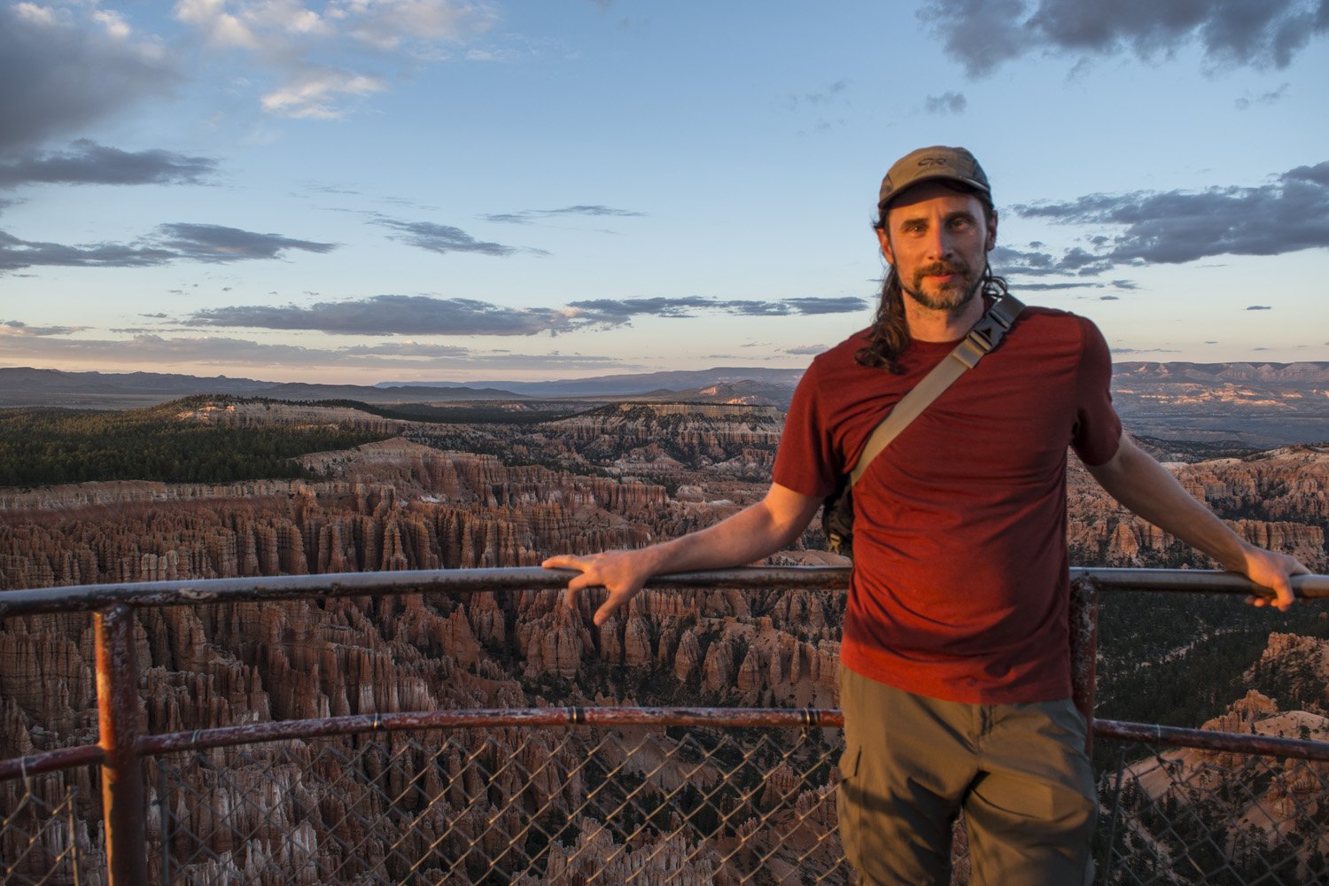
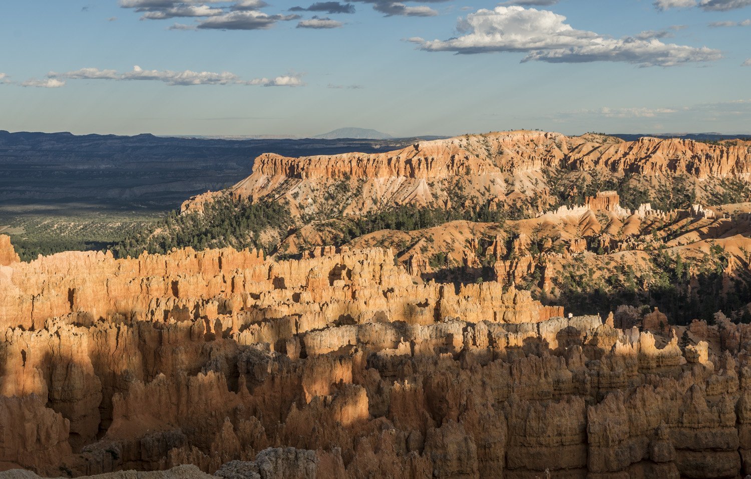
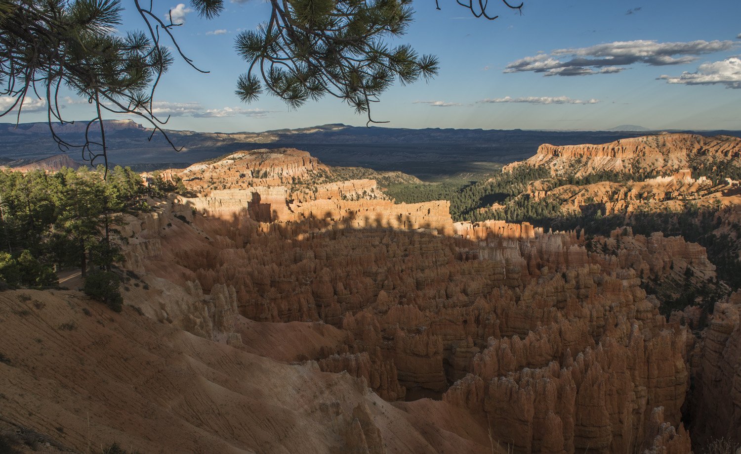
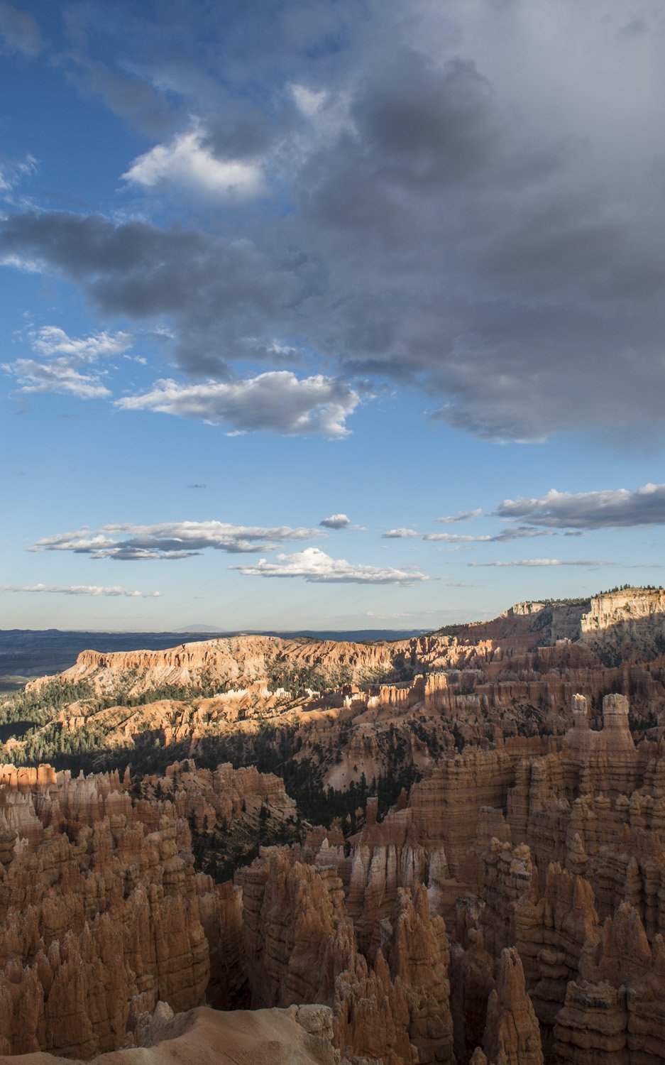
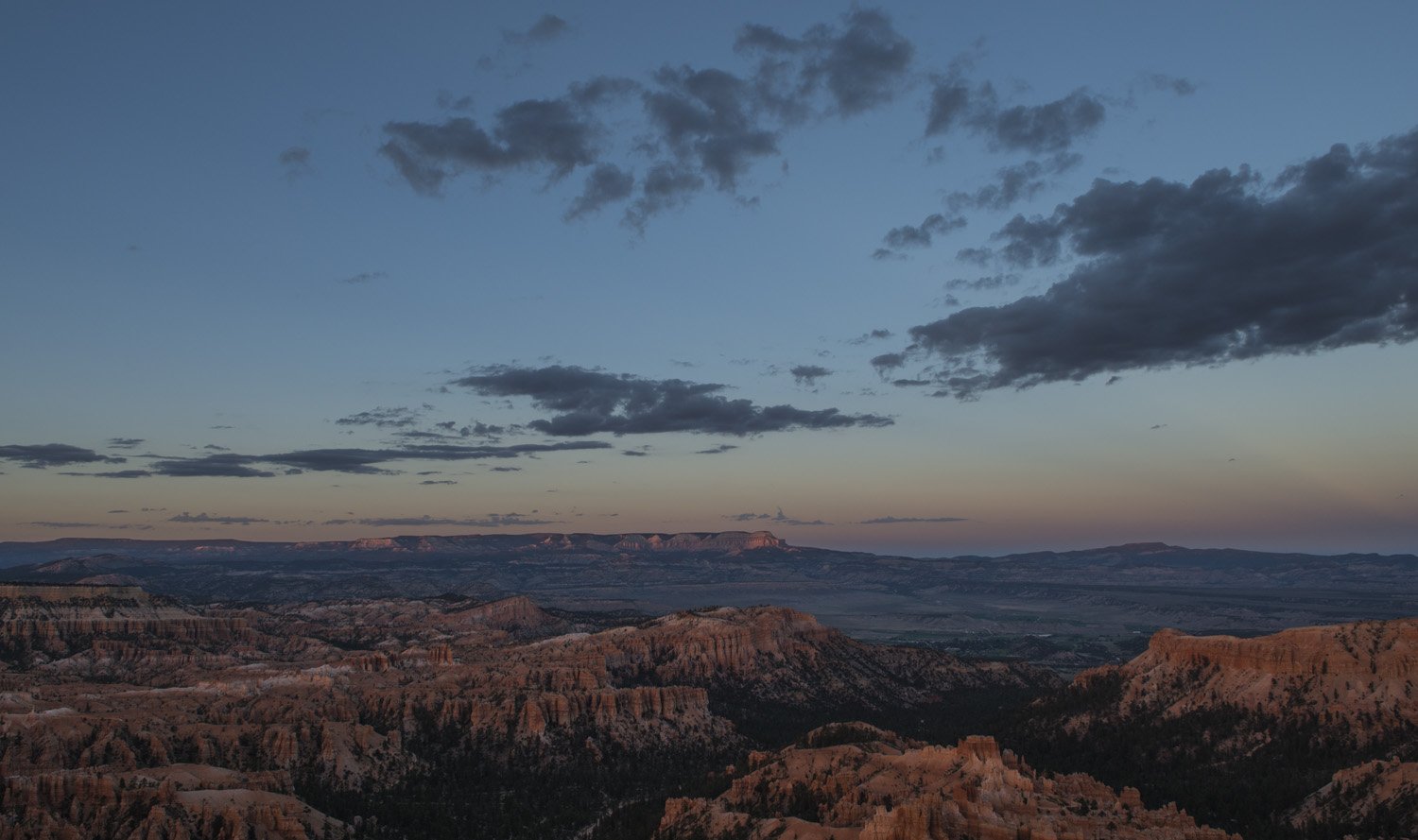
It was an easy walk along the well-worn trail along the rim to Inspiration Point, but I was a little winded as I had been anxious to get there so I didn’t miss the sunset. It was an equally dramatic view of the amphitheater, and with the warm tones from the setting sun washing over the formations, It was another surreal, awe-inspiring view.
Panorama of the Amphitheater at dusk
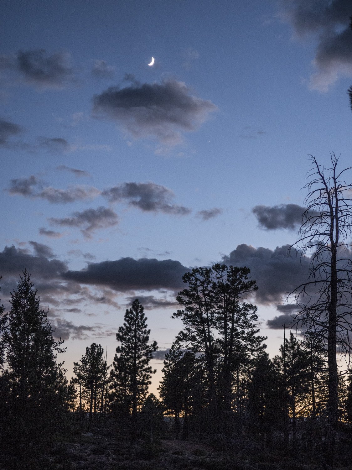
By the time I got back to camp it was getting dark. I started making dinner about the same time as my site mates, so I joined them at our one picnic table. We had some lovely conversation. Turns out they were in America to see the eclipse a few days prior. They had been in Oregon to see it. I told them about my adventure seeing it on Mount Borah. Before going to bed I looked up and noticed the night sky. Bryce Canyon is a dark sky park and it was full of stars.
Taking in the view from Inspiration Point
DAY ONE GALLERY:
DAY TWO:
The next morning I made some breakfast and broke down camp. I was only spending one night in the park and I had a full day planned so I wanted to get the tent put away. It was surprisingly cold considering it was August. I was wearing my pull over and puffy coat. The elevation of Bryce Canyon is fairly high, between 8000 and 9000 feet, so the temperature can get quite low overnight. It still wasn’t quite sunrise yet so it hadn’t warmed up at all for the day.
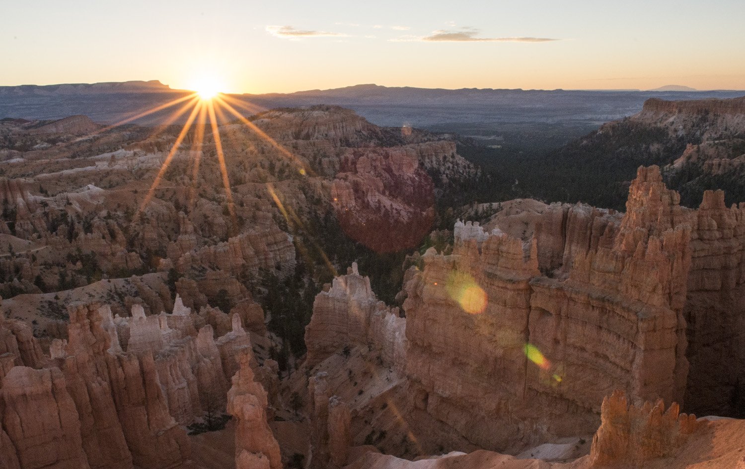
The sunrise from Sunset Point.
I left Sunset Campground and drove across the street to Sunset Point. From here I would start my major hike for the day; hiking across the amphitheater. I would start by taking Wall Street (the southern half of the Navajo Loop Trail) down to the eastern half of the Peekaboo Loop Trail and up to Bryce Point, then return via the western half of the Peekaboo Loop Trail and back up the northern half of the Navajo Loop Trail (making a loose figure-8). I got my day pack together and got ready to hit the trail. At this point the sun was coming up in the east and starting to light up the canyon. It looked like it was going to be a beautiful day.
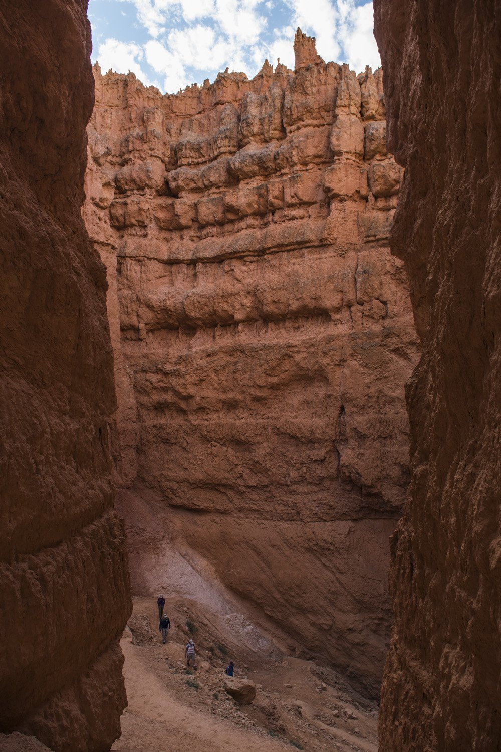
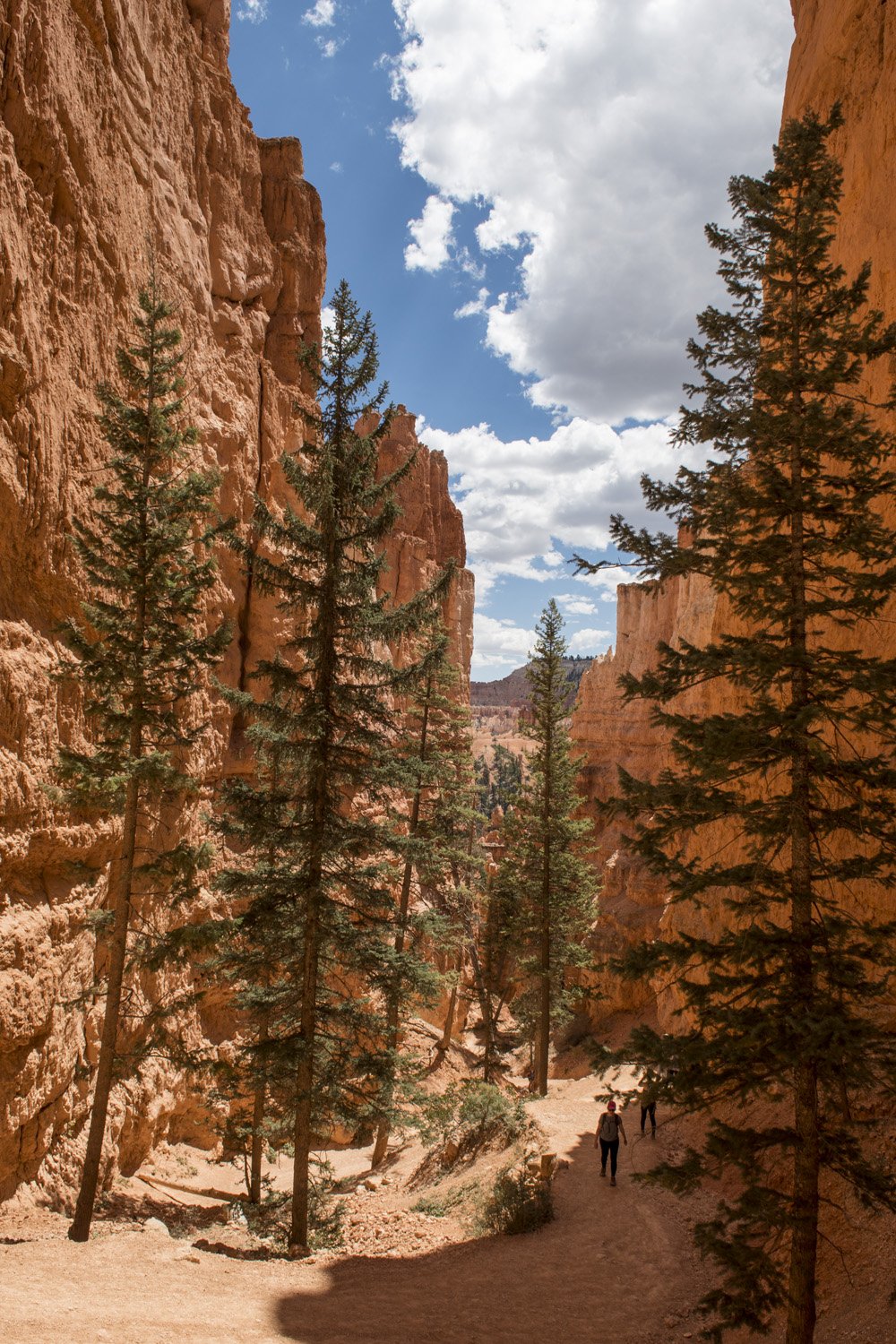
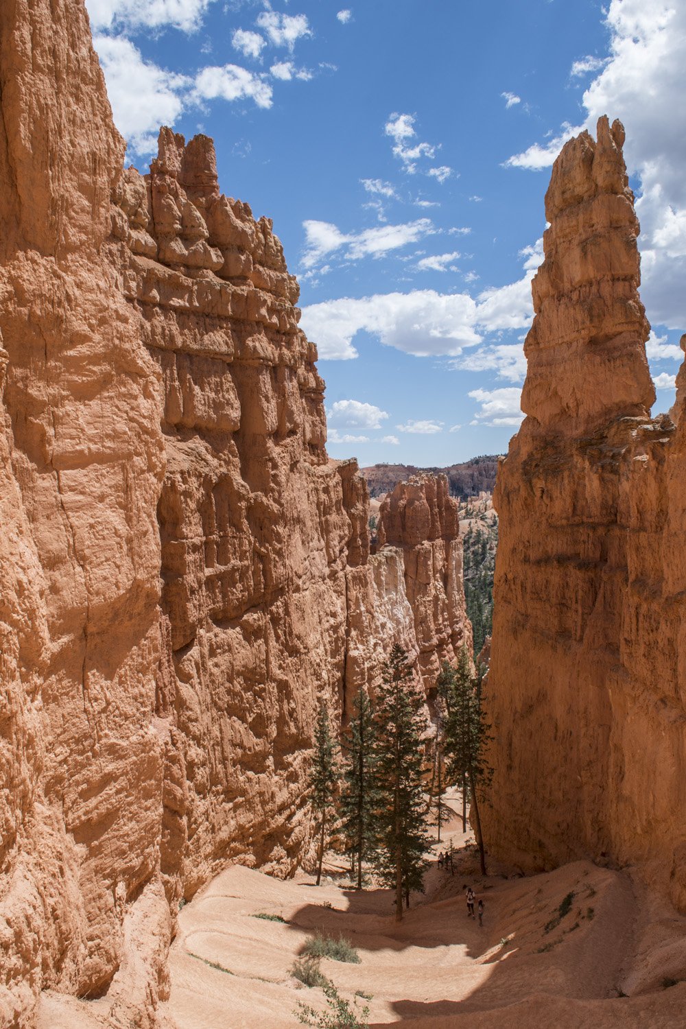
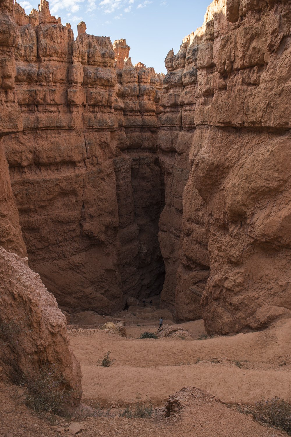
Looking down the Wall Street section of the Navajo Loop Trail
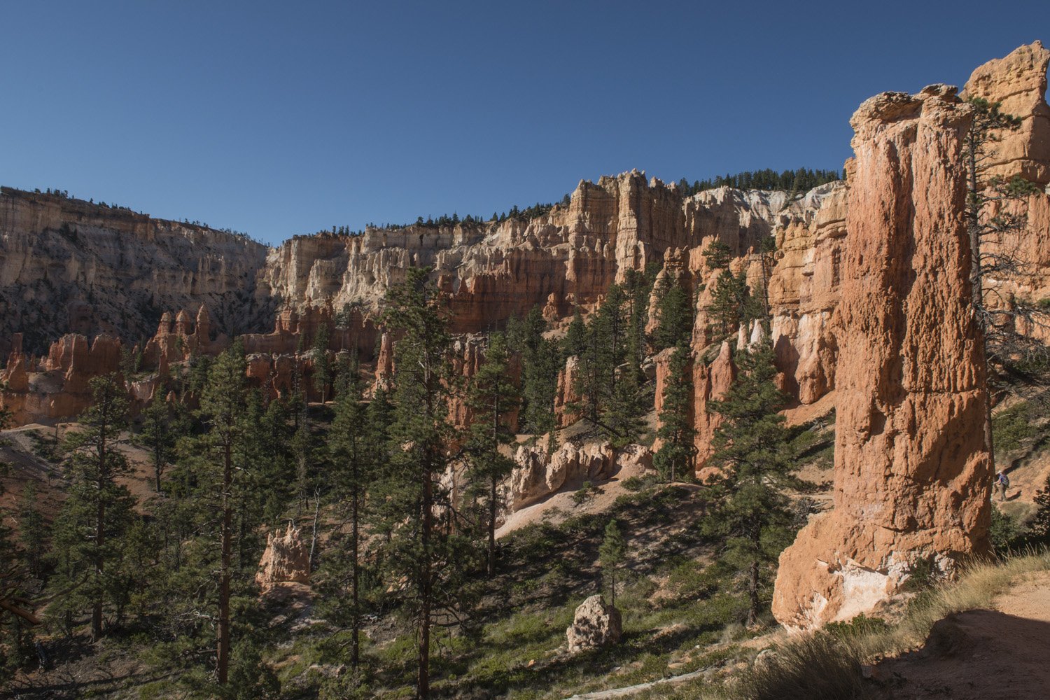
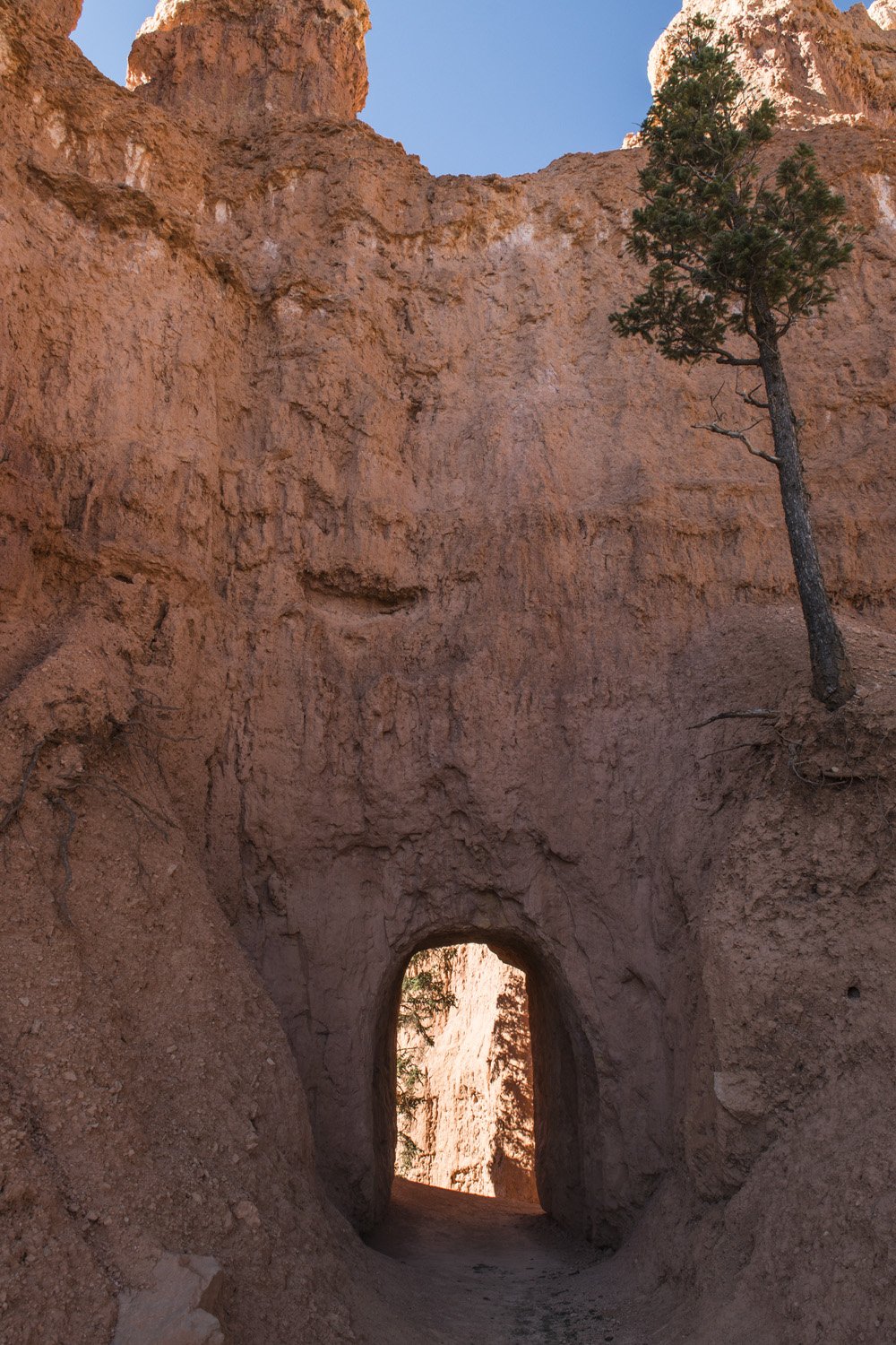
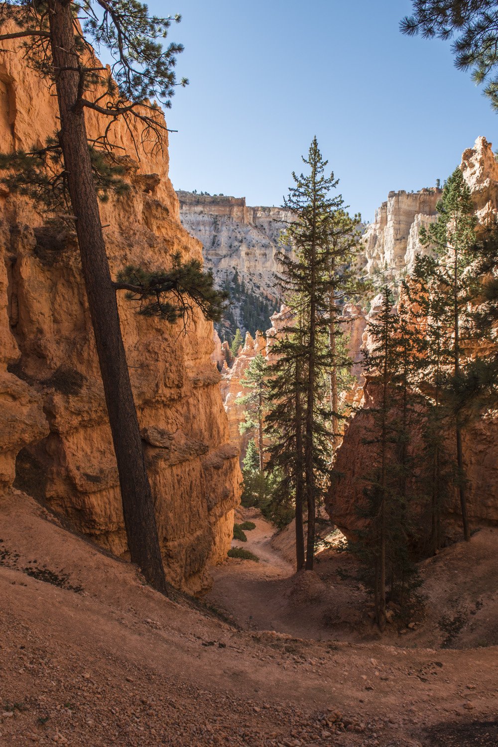
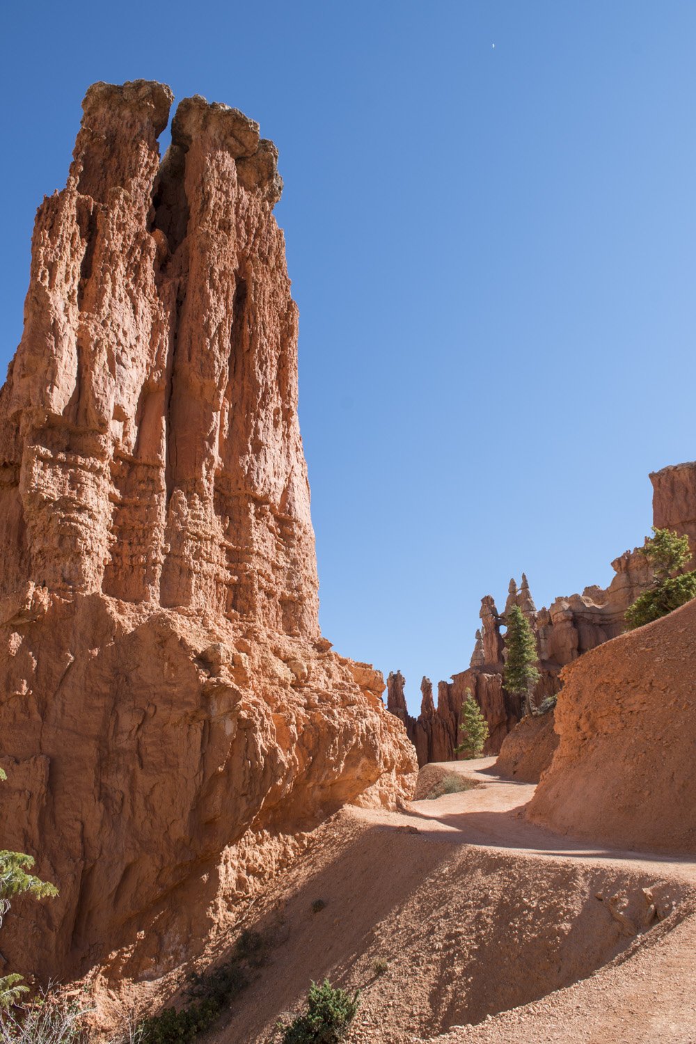
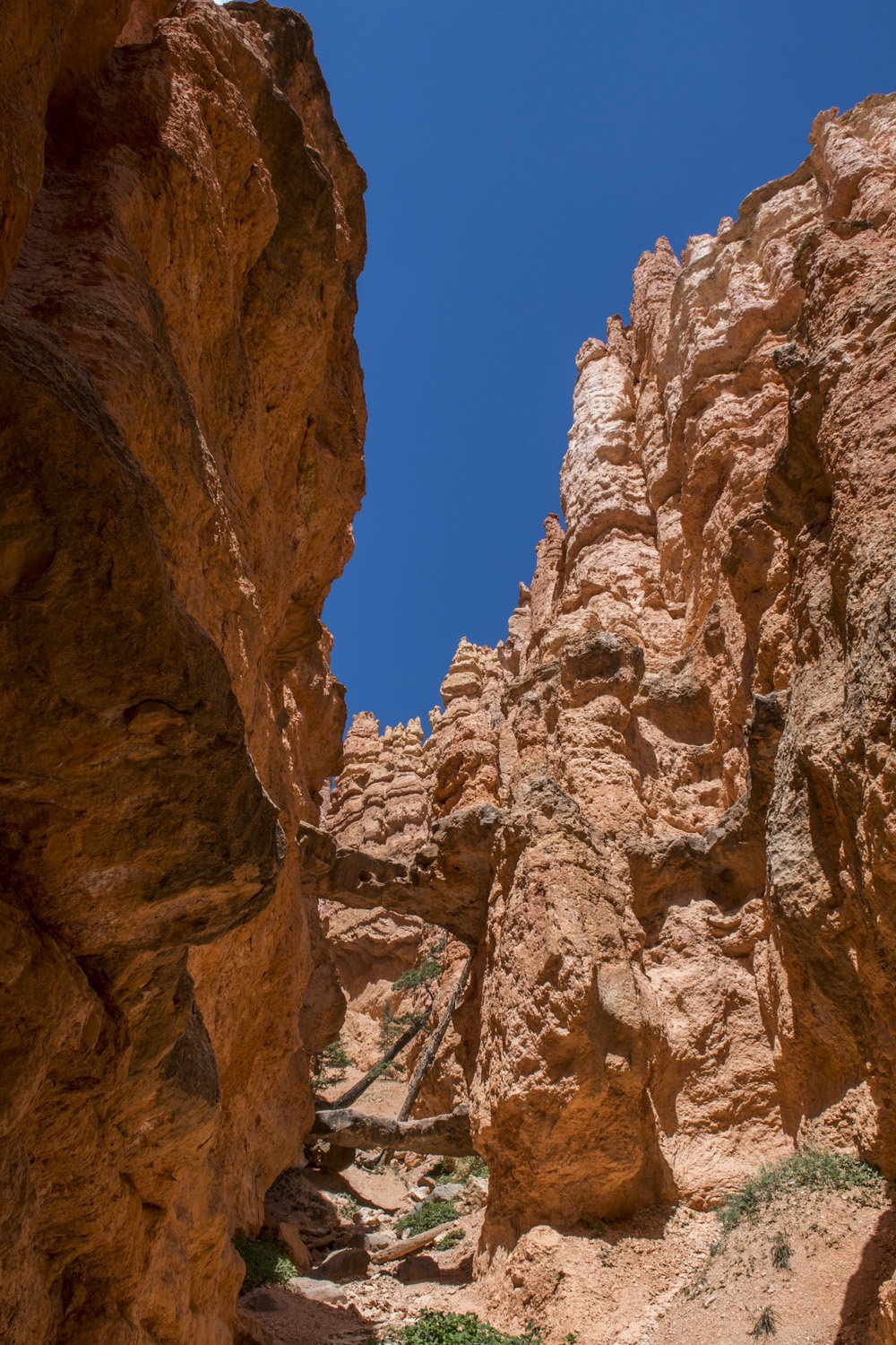
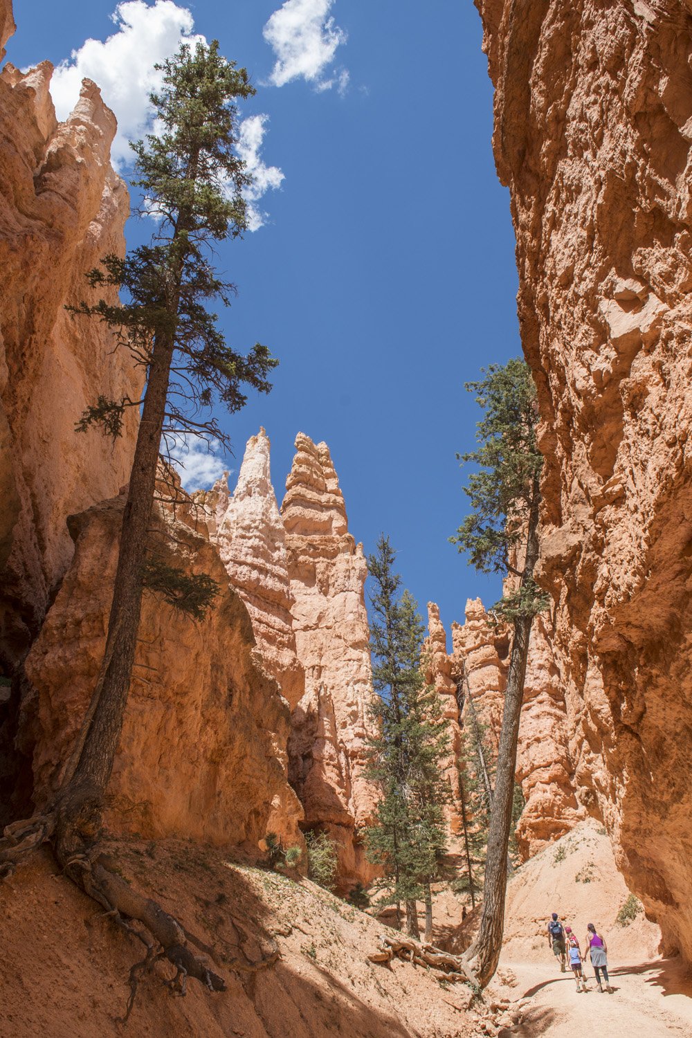
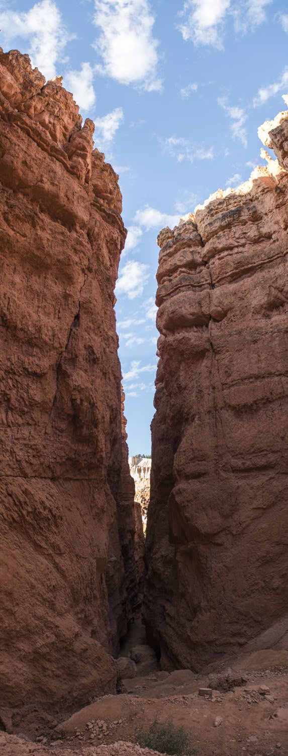
Wall Street lived up to its name. The trail descended from the Canyon rim and quickly entered into a tight canyon of sheer walls. Not quite a slot canyon, as it was wide enough for the trail to switch back down the length of it. At the bottom of the switchbacks the trail became quite narrow for a bit. I guess the section could be considered a slot canyon. Every so often there would be a random tree growing in the canyon. These were full grown pine trees but their tops still weren’t as tall as the canyon walls.
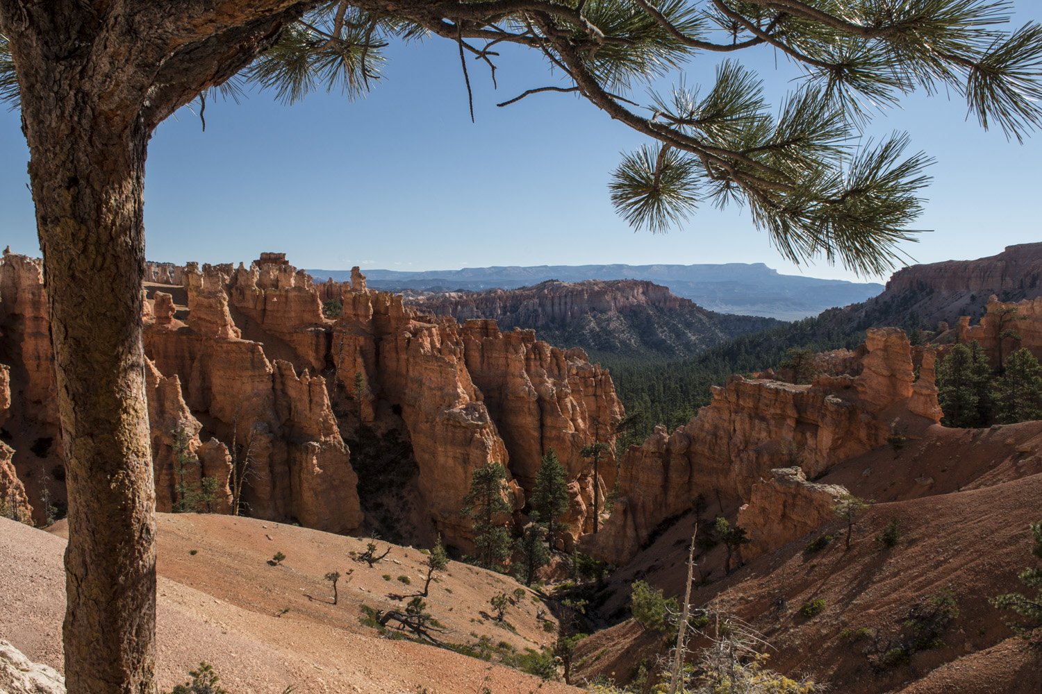
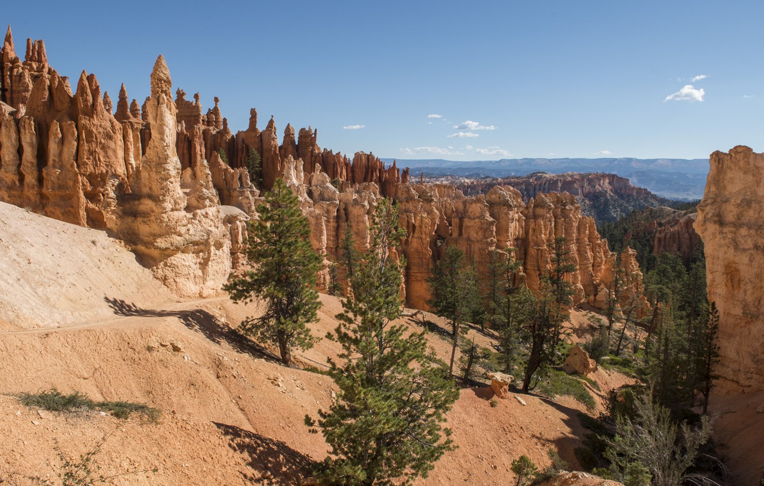
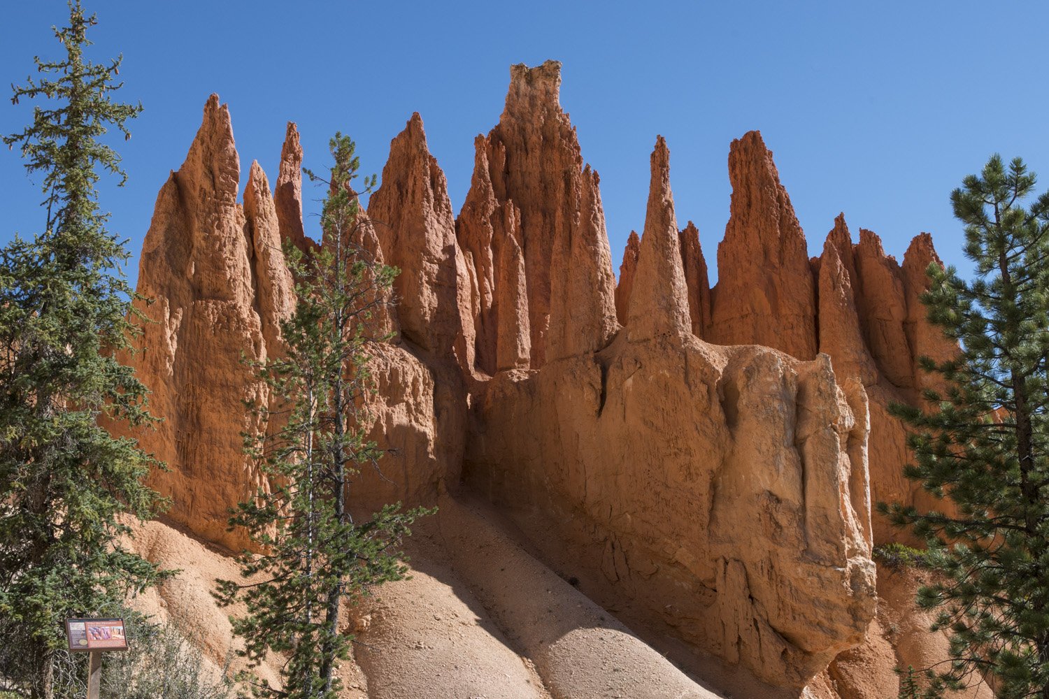
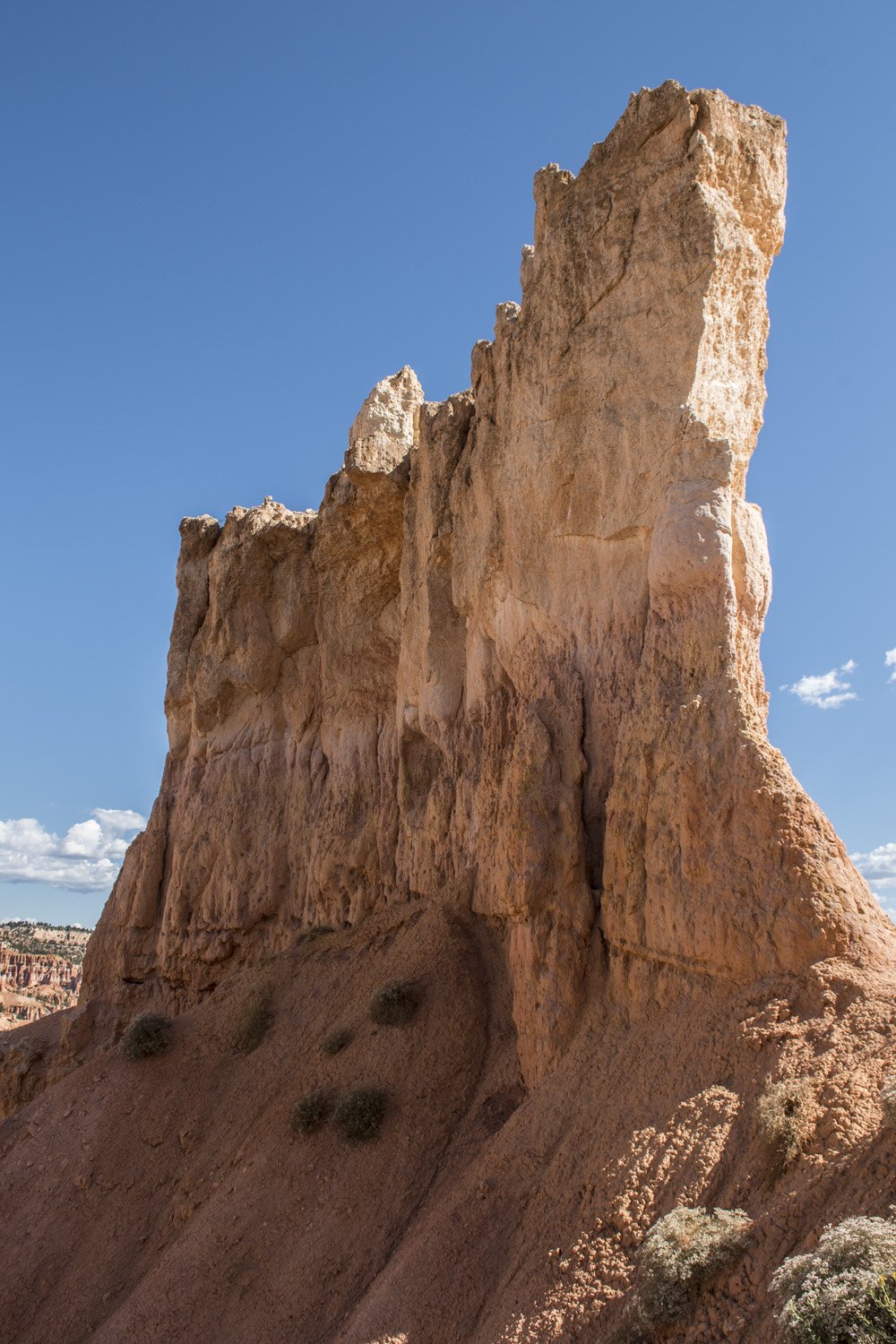
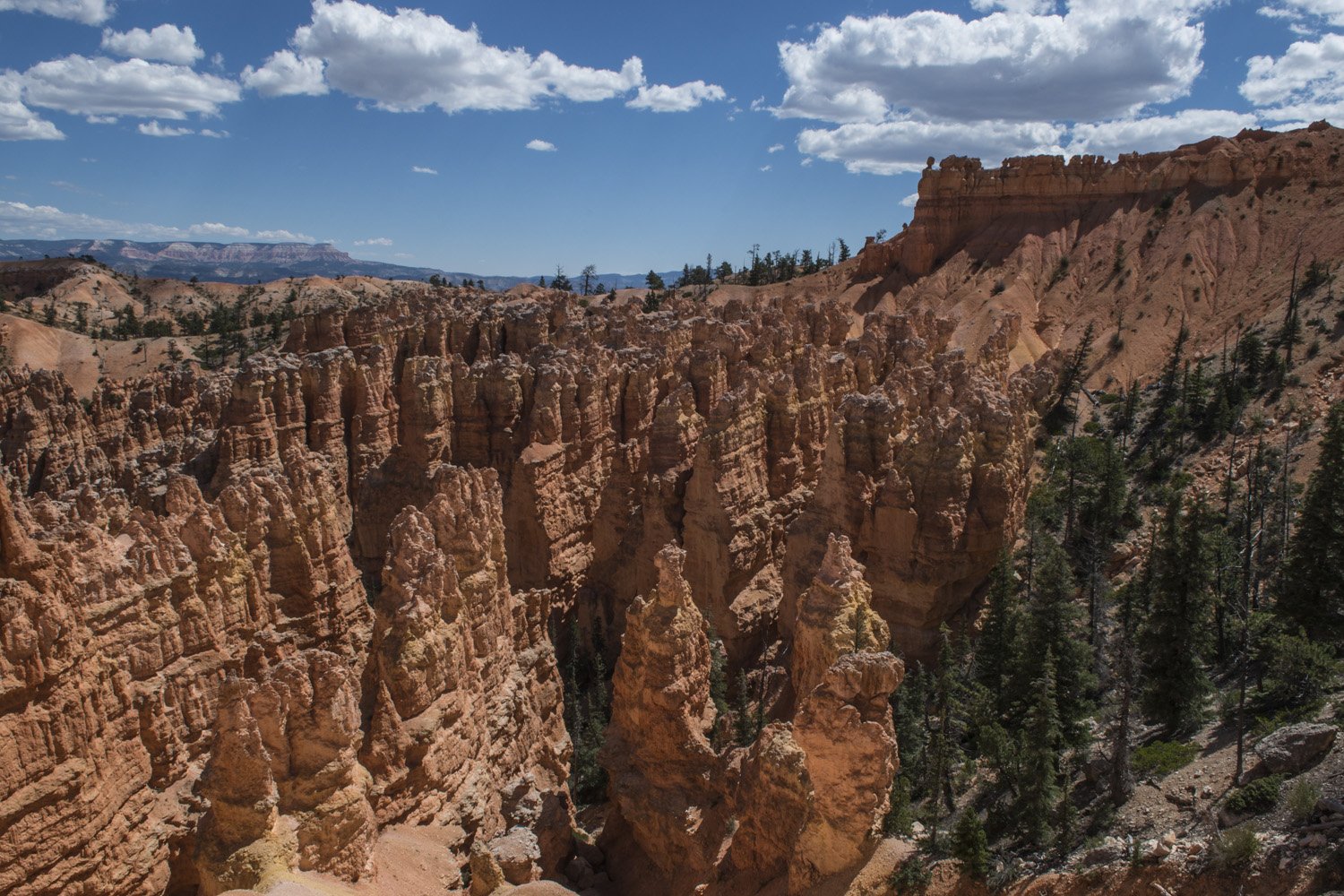
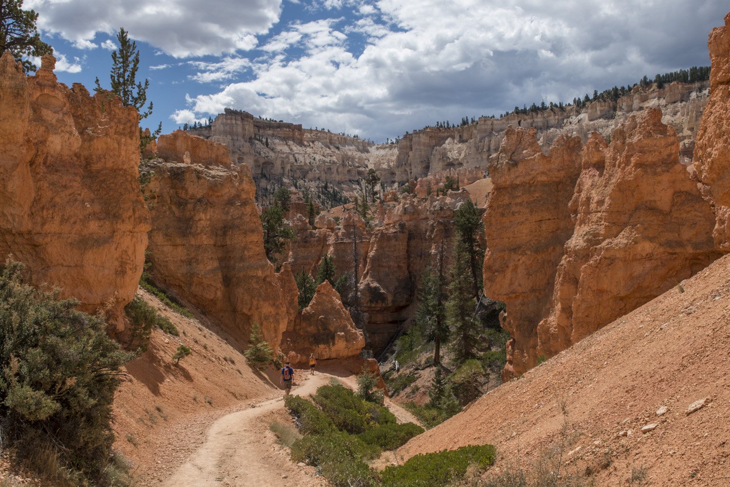
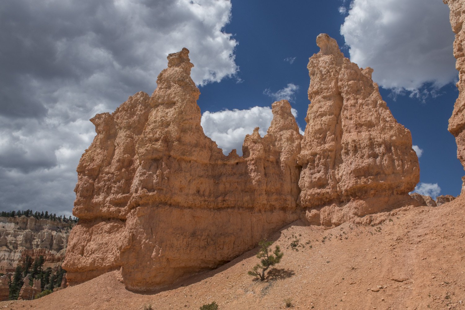
This narrow section eventually opened up as I got closer to the floor of the amphitheater. The view from the bottom is even more dramatic than the view from the rim. The fins and hoodoos seemingly surrounded me in every direction and towered high overhead. I noticed and realized the scale of the rock formations from the rim, but that still didn’t prepare me for being right next to them. A short trail across the open bottom of the amphitheater connects Navajo Loop and Peekaboo Loop Trails. Past the junction with Peekaboo Loop the dramatic landscape of the amphitheater tapers off to the east. Instead, I would be heading back up to the rim to Bryce Point lookout via Peekaboo Loop.
Surrounded by towering rock formations
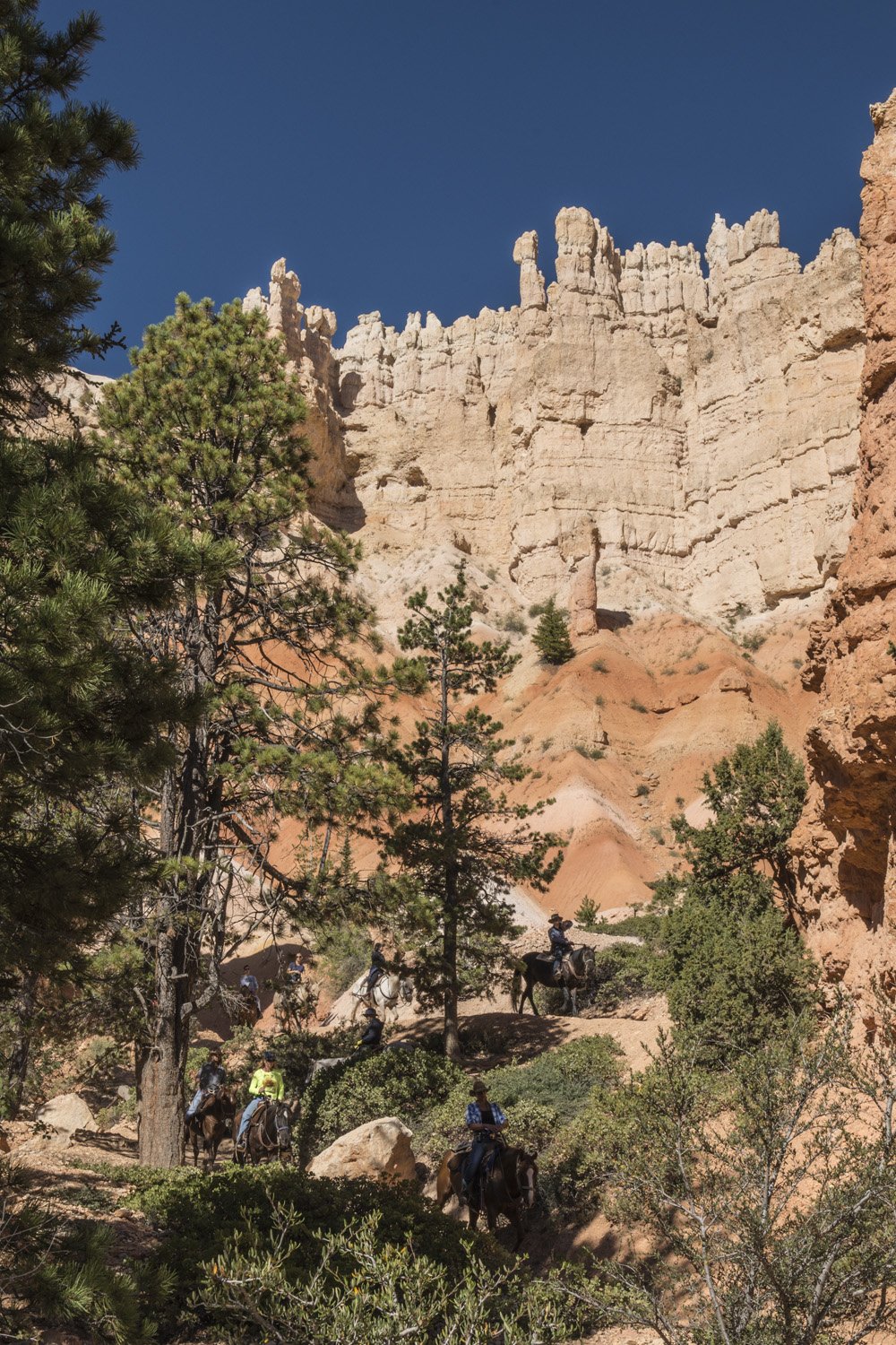
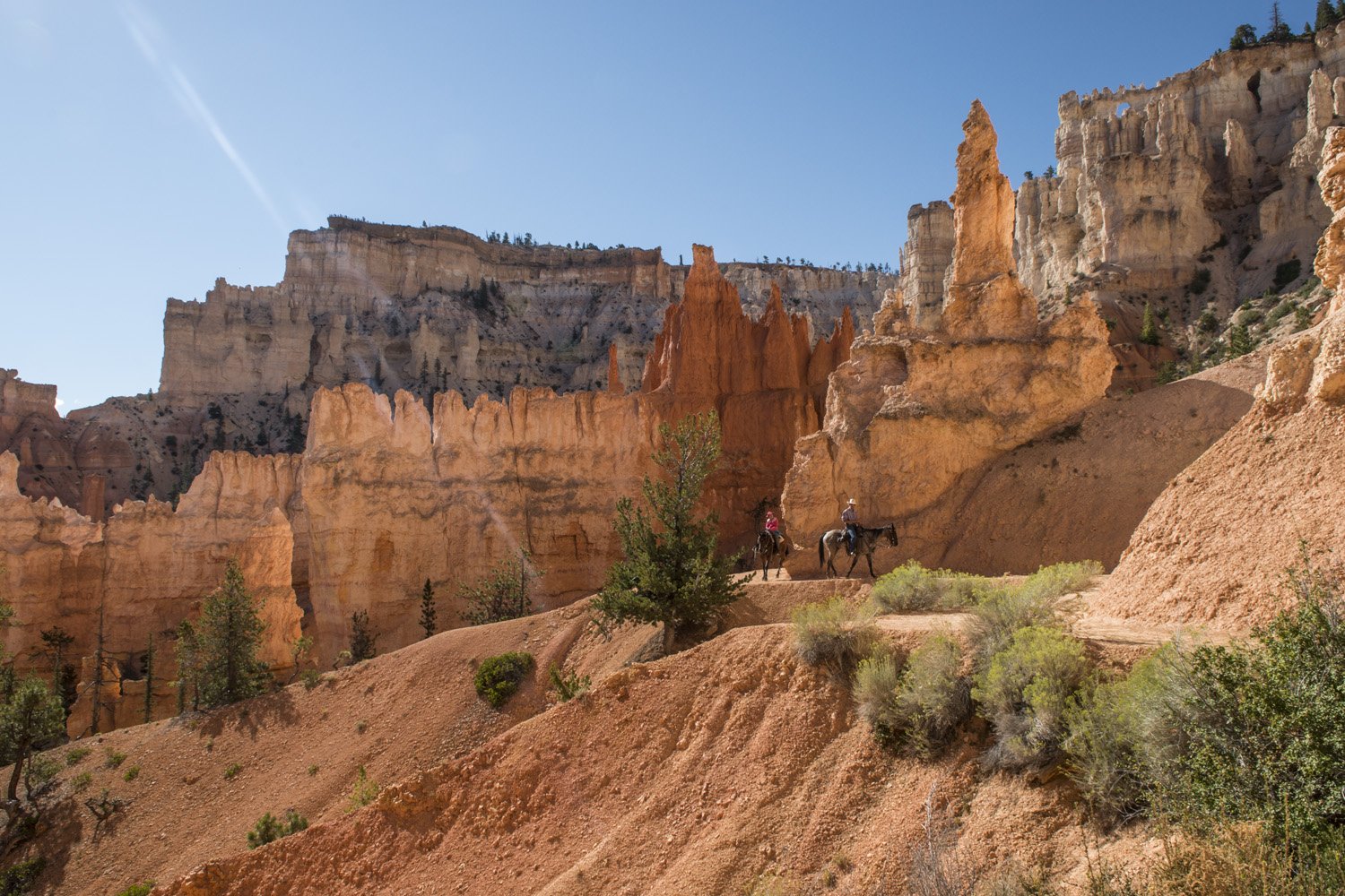
Horses on the trail
Peekaboo Loop is a 5.5 mile, mixed use trail, designated for both hikers and horseback riders and listed as strenuous. I did see one group of riders. A concessioner in the park, Canyon Trail Rides, offers various rides into the canyon. It looked like fun and something I’d want to try on a future visit. The pace of the ride could comfortably be called a mosey.
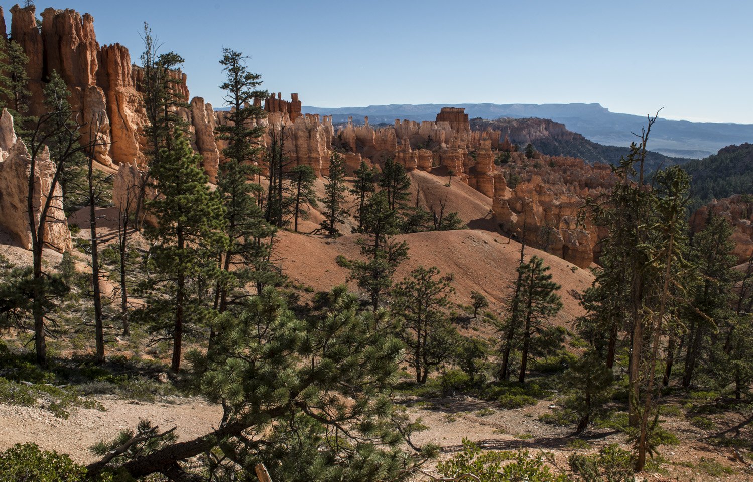
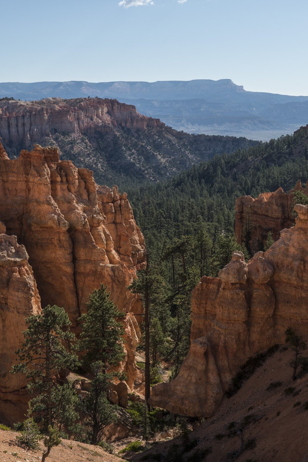
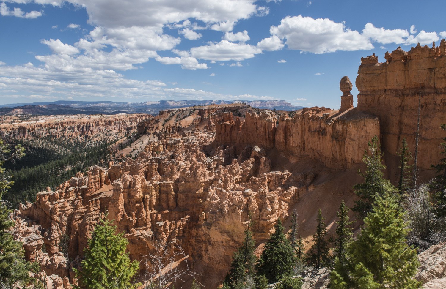
As the trail continued toward Bryce Point the formations became grander and more dramatic again. The vibrant reds, ambers, and yellows almost glowing in the bright sun. After a while, I finally reached Bryce Point. It sits at the southern end of the amphitheater rim and has a commanding view of the canyon below. I stopped here to have lunch and rest. It was quite cool when I had started the hike, but had warmed considerably by this point. The sun was high in the sky and the canyon took on a different feel than when I had seen it at dusk the night before. The various strata of rock could clearly be seen in the bright sunlight.
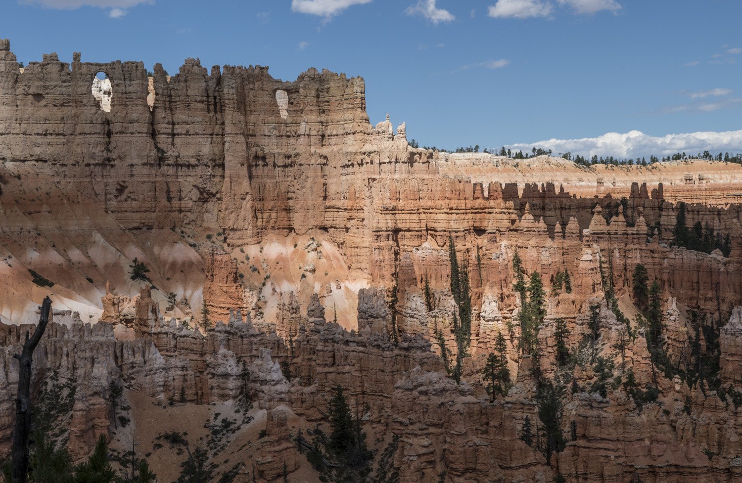
The Wall of Windows
The hike back to Sunset Point would be a little different as I would be taking the other half of the figure-8 comprised of Peakaboo and Navajo Loops. More towering hoodoos awaited as I descended back into the canyon. I kept being struck by how different the experiences were of being up on the rim versus down in the canyon. This is one of those places that makes you feel small, in a good way.
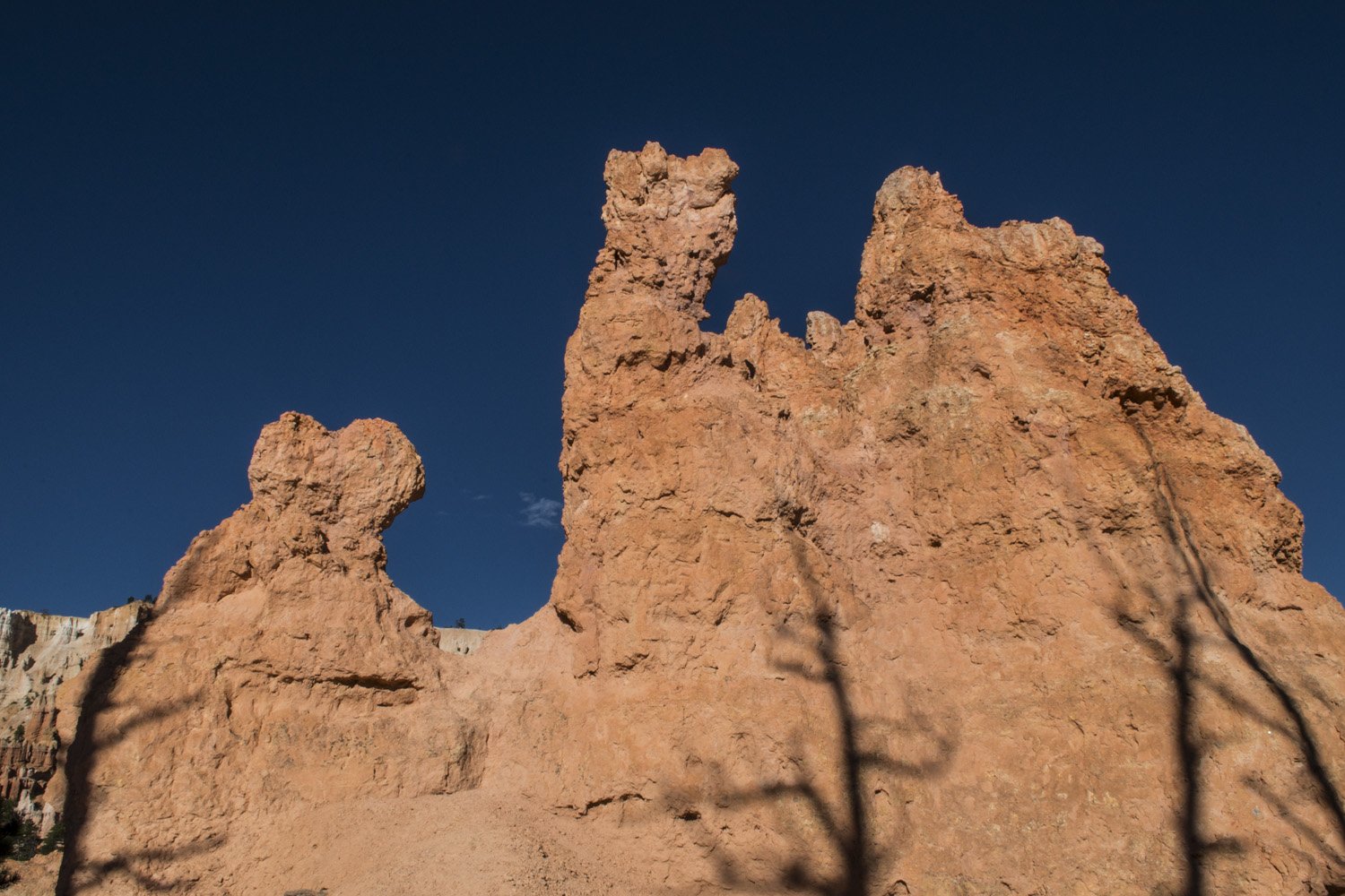
The downhill half of the Peakaboo Trail passes several structures such as the Wall of Windows and The Cathedral. The Wall of Windows is a high wall to the west of the trail that features a series of small arches across the top of the ridge. I came back to the bottom of the canyon and connected over to the Navajo Loop Trail. This gradually worked its way back up to the rim, but first there was one more cool area to see. Just below the rim, south of Thor’s Hammer, the trail wound between two shear walls in tight switchbacks. It was rather steep (hence the switchbacks), but the sight was amazing as the walls closed in just before getting back to the top.
Back on flat ground, I was able to breathe a sigh of relief. This was an epic day hike that every able-bodied national park enthusiast or outdoor lover should do. It’s hard to get a sense of the scale of these formations without getting down among them. There is a lot of up and down, and both Navajo and Peakaboo Loops are listed as strenuous. So it helps to be in shape and bring plenty of water, salty snacks, and sun protection. The higher elevation does take the edge off the heat, but it still gets plenty warm in the direct sun. And if you don’t feel like doing the hike, take a horse.
After getting back to the car I still had plenty of daylight left, so I headed towards the southern end of the park. I felt like I was done hiking for the day and everything I was heading for would be road accessible. The first stop was Natural Bridge, a large rock arch just like the many that are common in southern Utah. There’s a good view from the road, but there are no trails going down to it or over it.
Natural Bridge
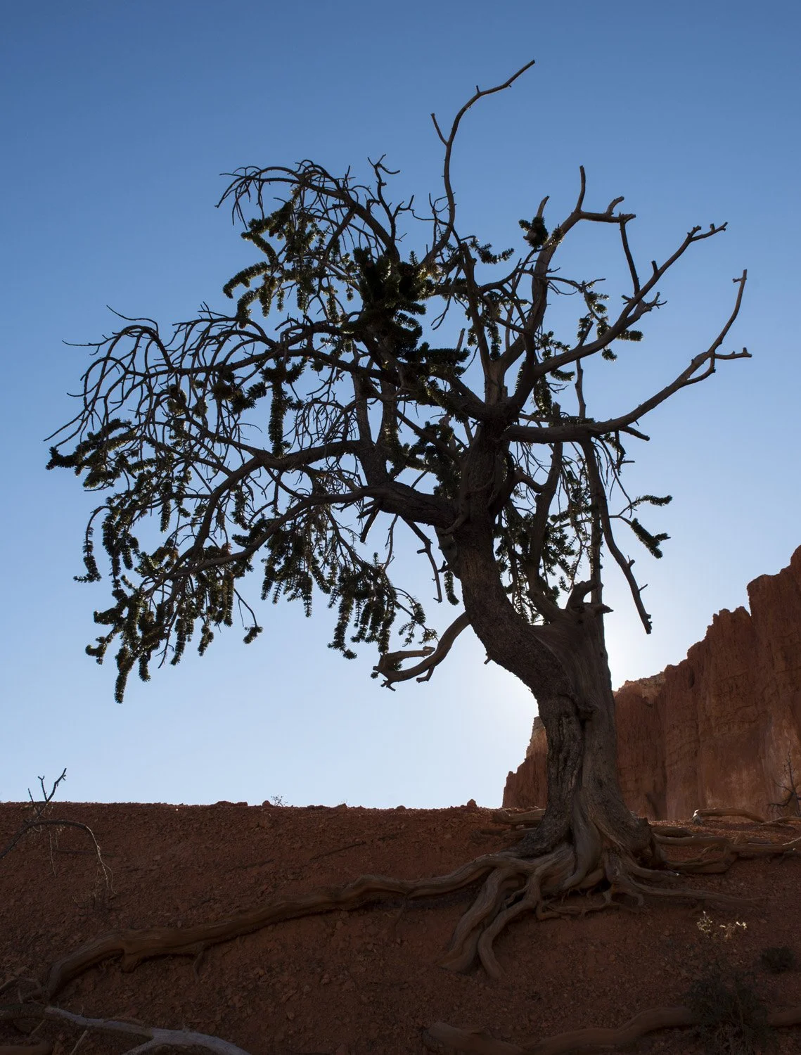
At the end of the Park Road is Rainbow Point. There were views of several more canyons. Not like the hoodoo filled ones of the amphitheater, but stunning nonetheless. There is a short nature trail from the parking lot that leads to a small grove of bristlecone pine trees. It wasn’t as impressive as the grove at Great Basin that I had seen just the day before but it was still interesting. And there were some nice views of the southern end of the park.
The southern end of the park from Rainbow Point
After Rainbow Point it was time to start heading back to Salt Lake City. First though, I desperately needed a shower. The last one I had taken was in Idaho on the day of the eclipse. That was Monday night. It was now Saturday. So I drove back up to the northern end of the park where there was a camp store that had showers for rent. I washed off a week's worth of grime until I felt human again. Then it was over to the visitor center to get my magnets, along with my sticker for having completed the hoodoo challenge.
And that wrapped up an epic week of adventuring. Bryce Canyon and Great Basin were two unplanned for and last minute additions to the trip, and of course climbing to the summit of Mount Borah for the eclipse was an unforgettable experience. But now it was time to head home and to start planning my next adventure.
DAY TWO GALLERY:
